
Quick report
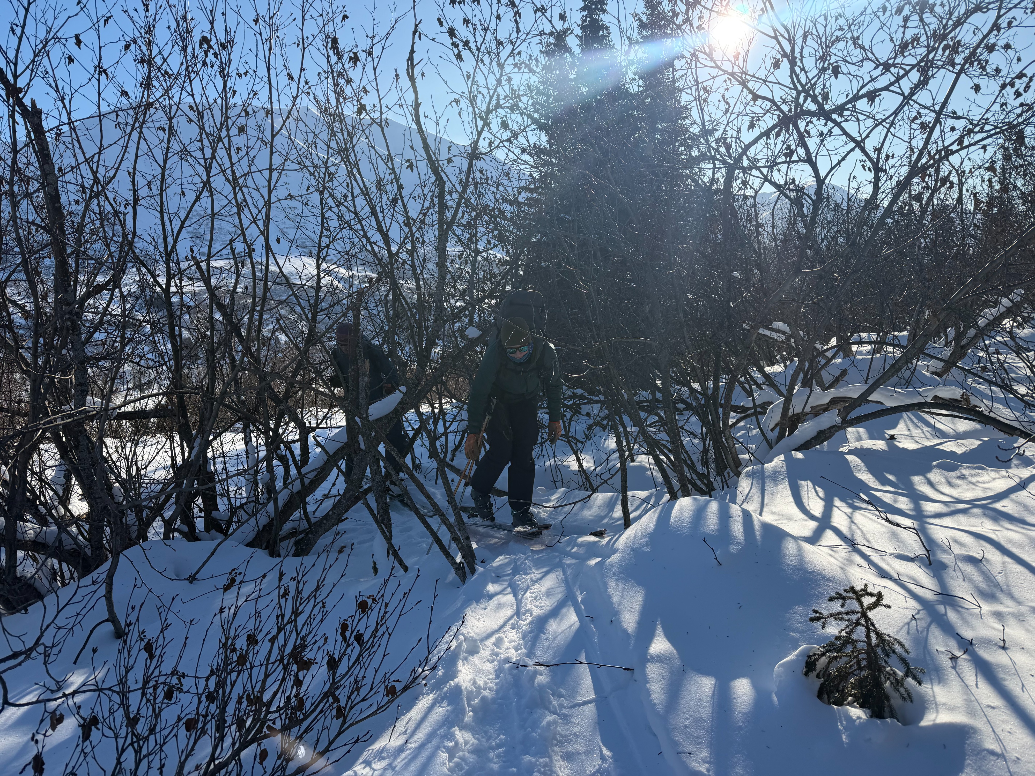
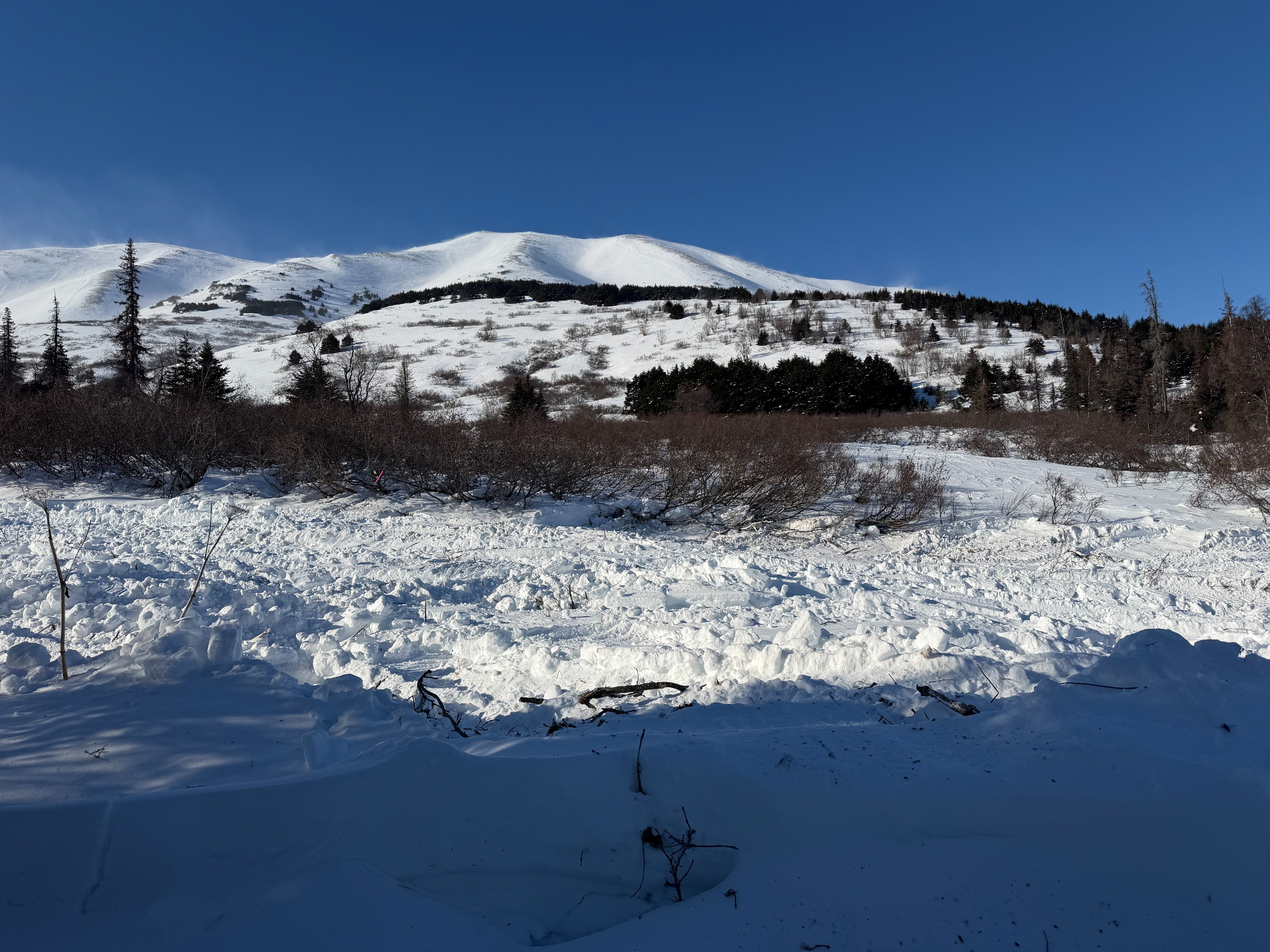
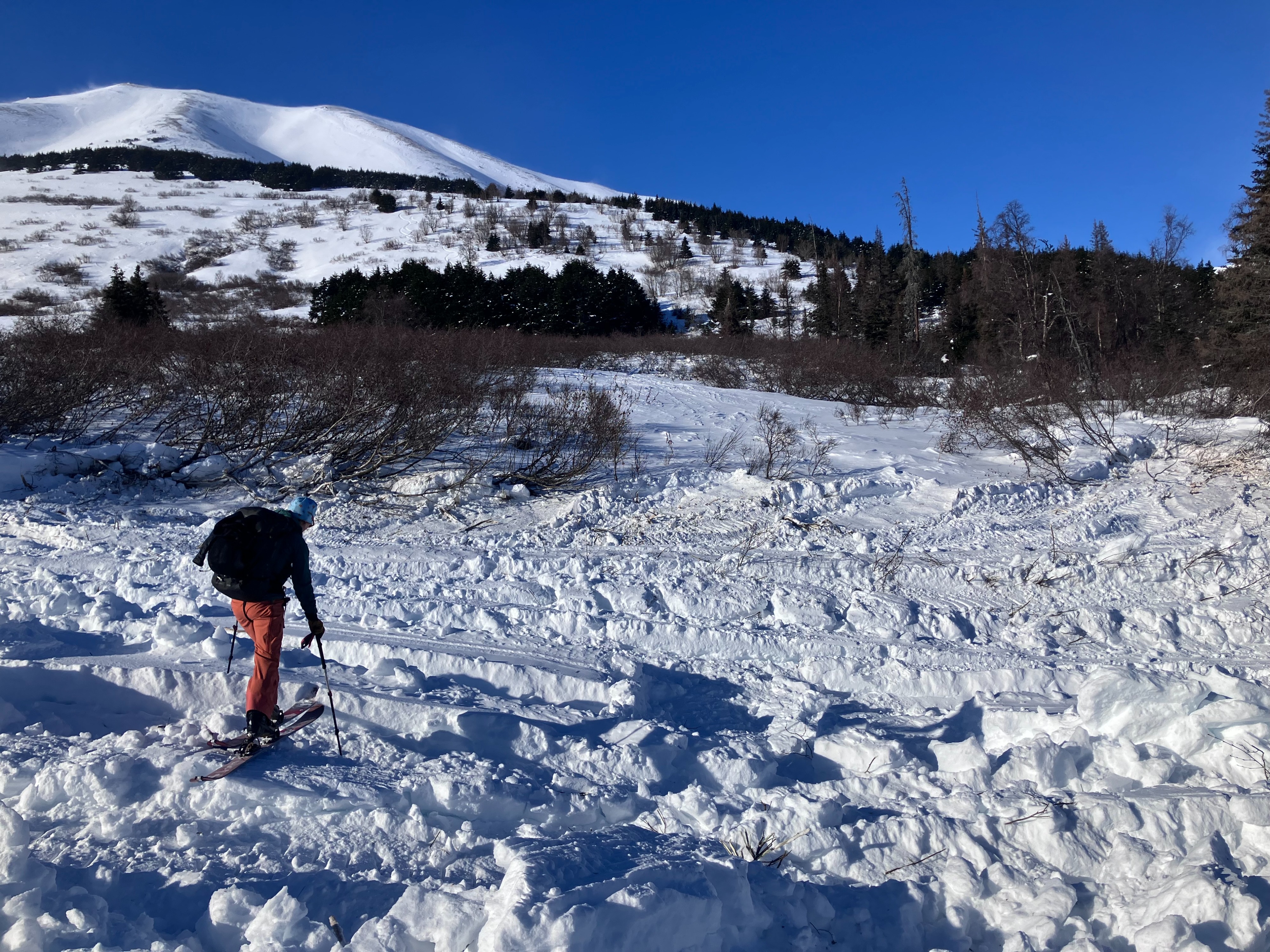
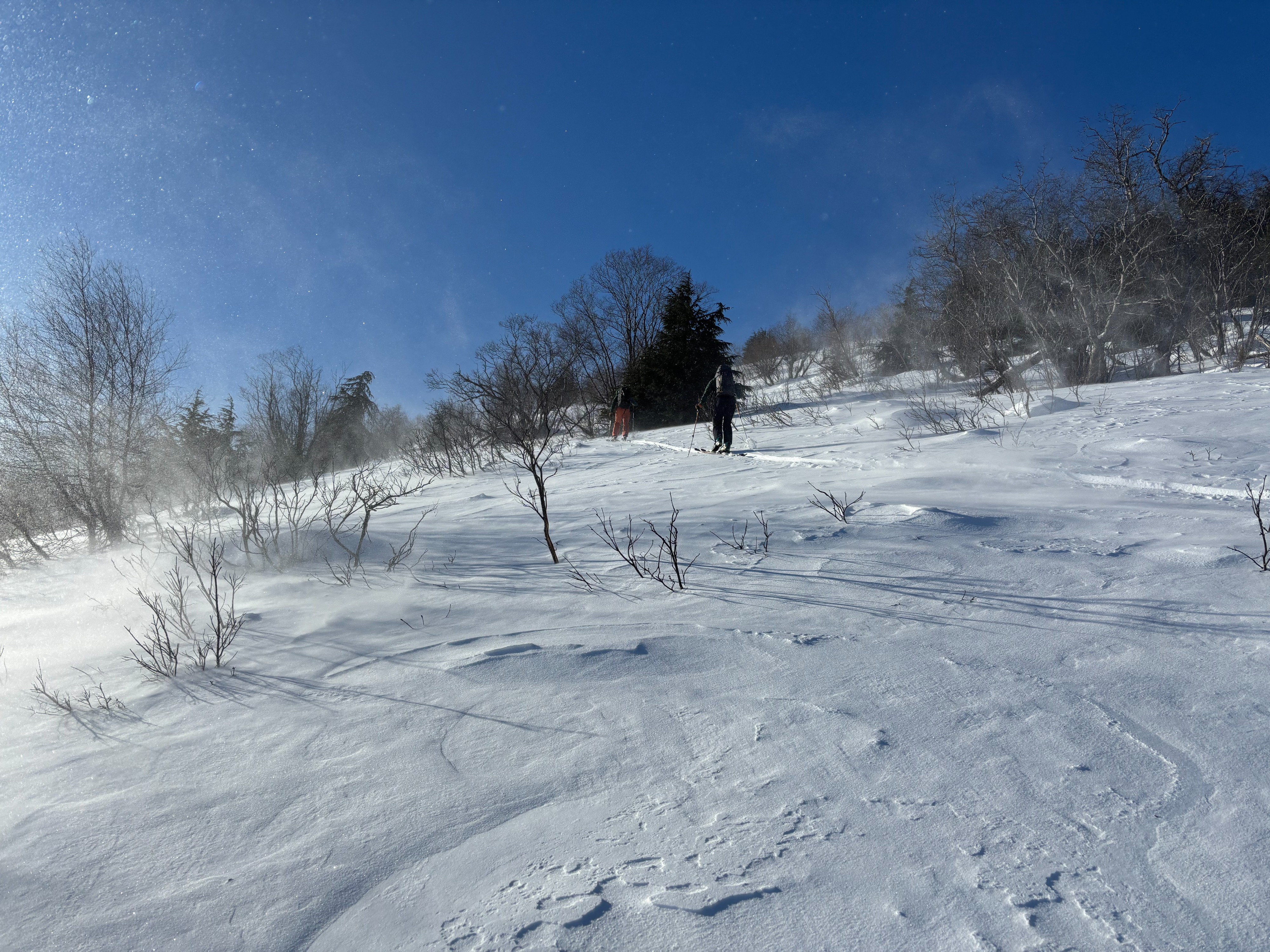
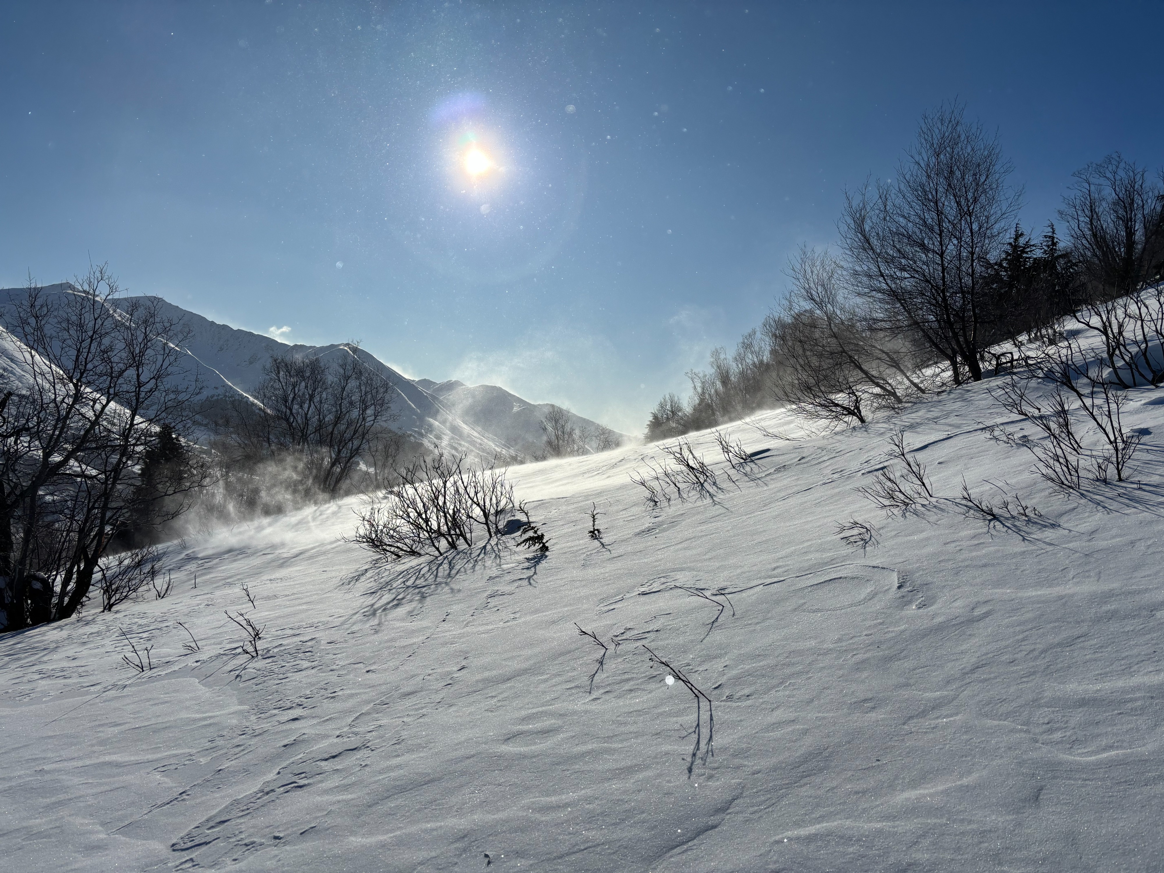
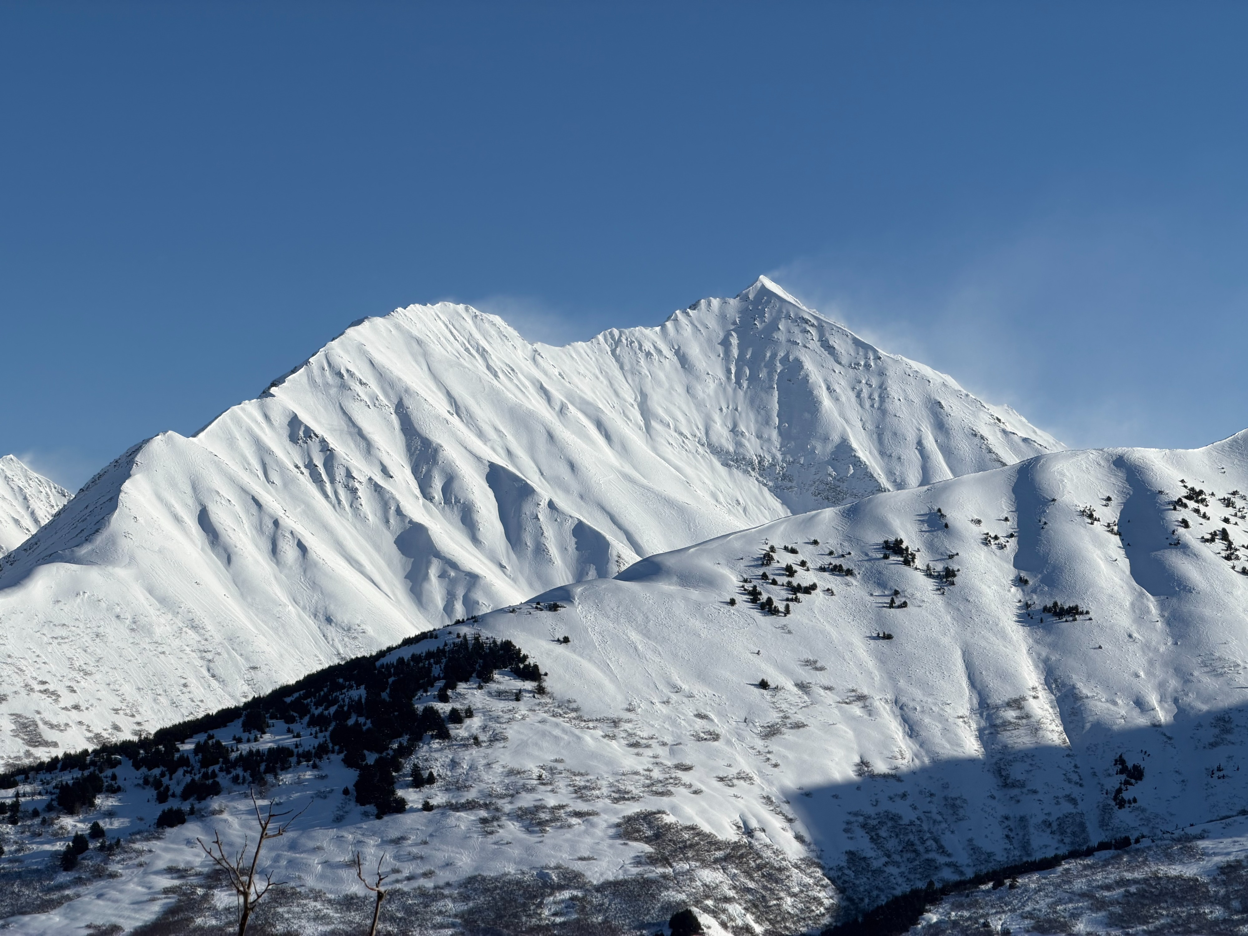
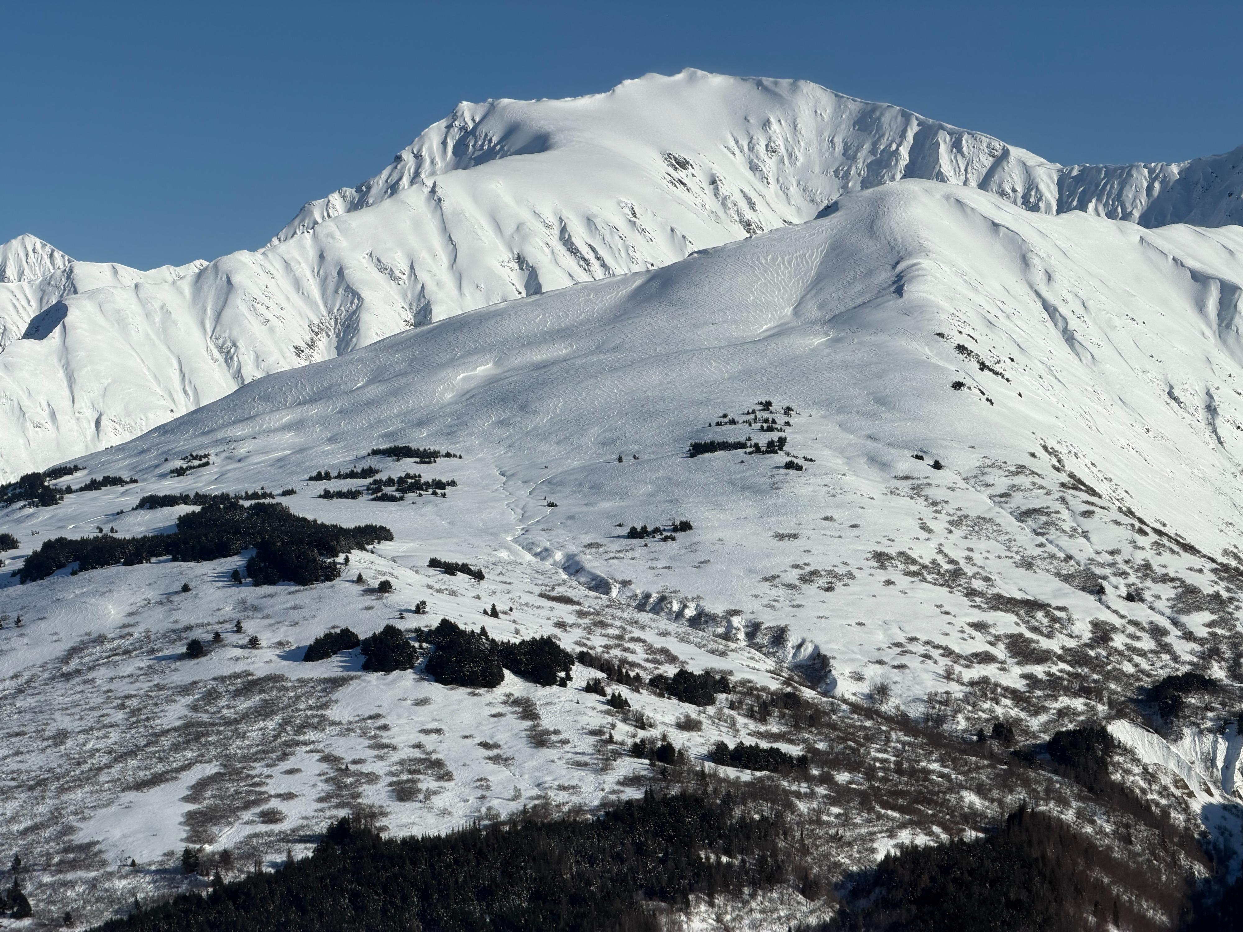
We headed to Summit Lake today to see how the wind was affecting the stability. We noticed two avalanches that may have been new on the east side of Summit Mountain, but it was difficult to tell because there was old debris and the wind was blowing so hard it was blowing in crownlines. Our initial plan was to go to the Japan Trees because we haven't been there in a while, but when we got there we saw strong winds were blowing out of the northwest pluming snow off Summit Mountain and even blowing snow all the way to the road level. We ended up on Colorado where there is less overhead hazard. We found variable surface conditions due to the wind event today and earlier this week. There are two main concerns in Summit Lake, both of which are the most concerning above 2,500'. There are new and old wind slabs in the alpine and there is weak snow near the ground that we still think a person could impact and trigger a large avalanche. The chances of this go down with time especially if there are no new loading events. We can't seem to get a break from loading events like the wind occurring today so you can always avoid these problems by sticking to low angle terrain.
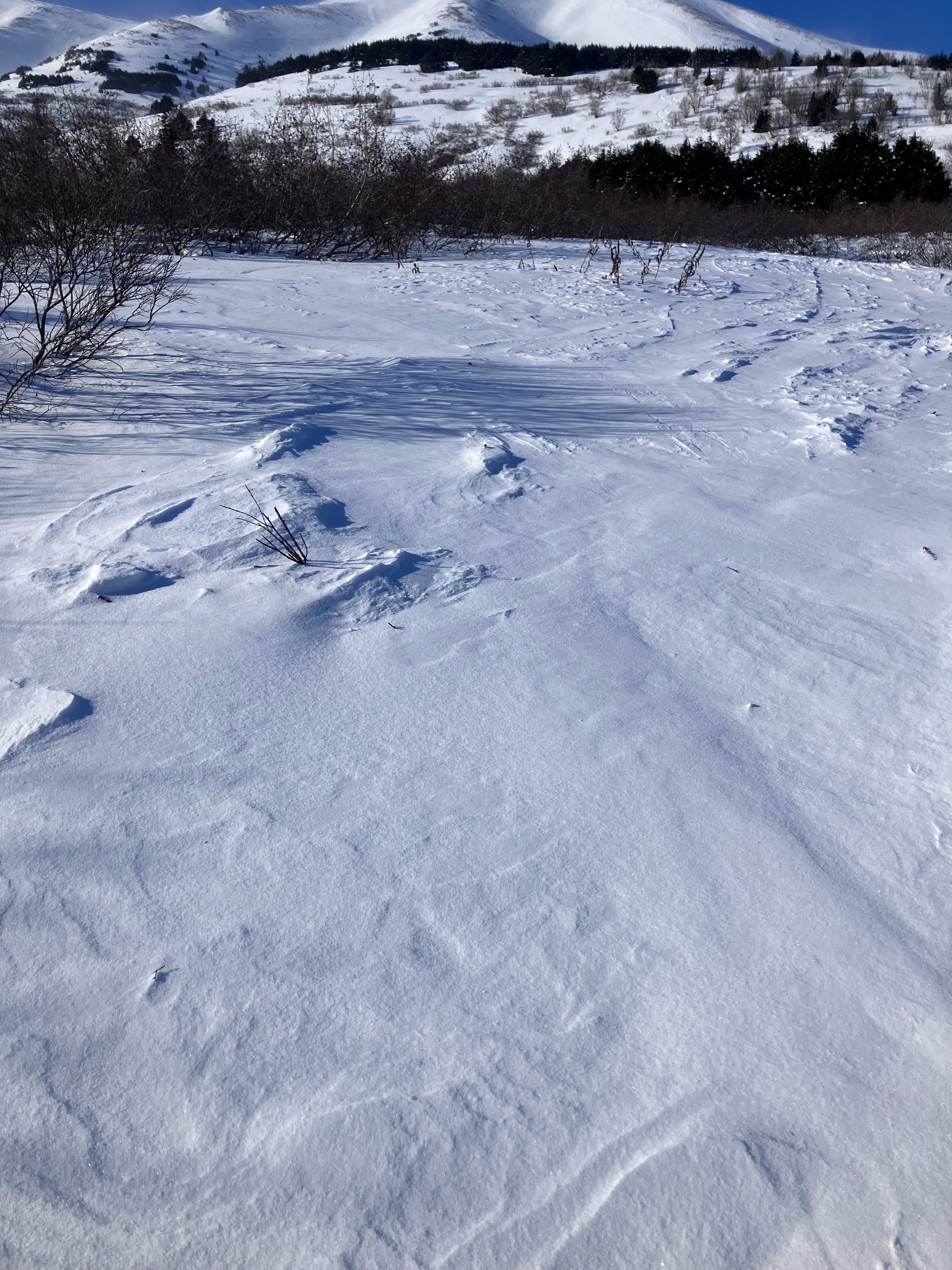
Rapid wind loading was occurring in some places and in some places the snow was just sublimating with the strong wind speeds.Weather
It was windy today. On the ridgetops it was blowing from the northwest, but at our elevation it was swirling around in every direction pushing the snow available into little piles here and there. The temperature today was 13 degrees F at the Summit SNOTEL and skies were clear.
Snowpack
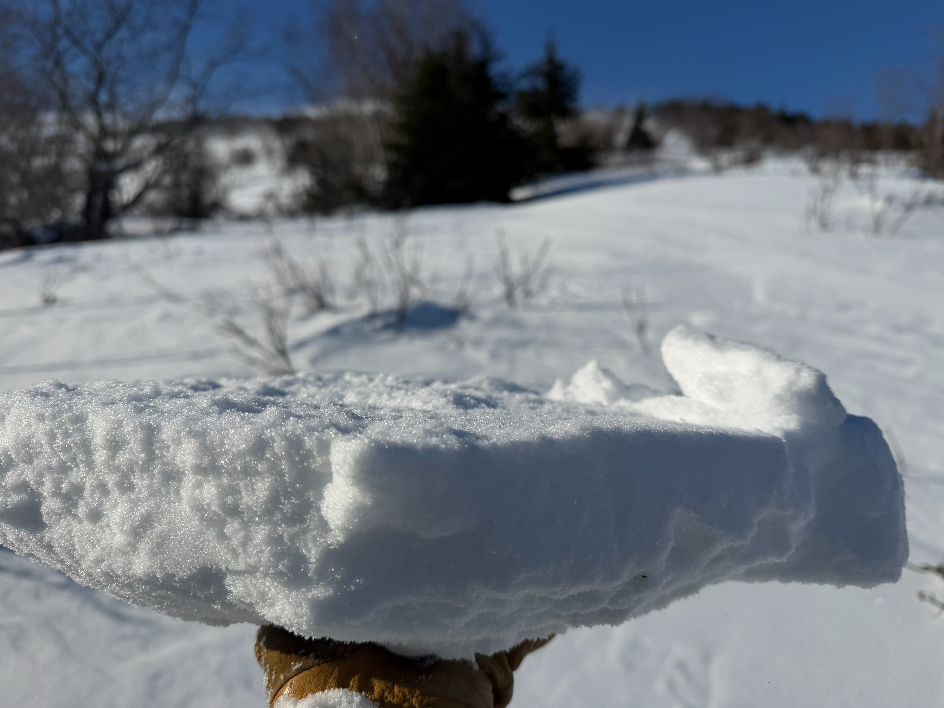
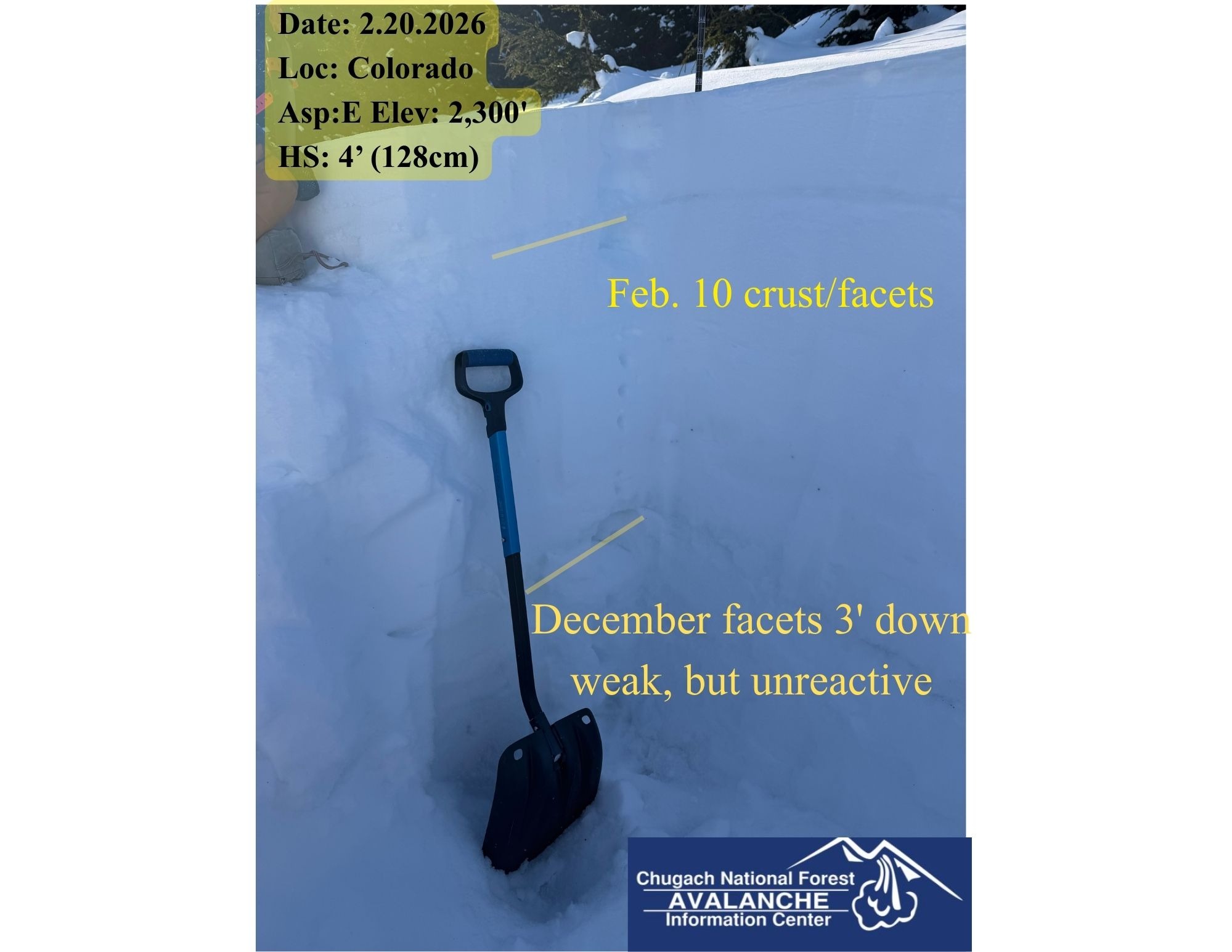
At the road level there was about 4 to 5" of soft snow above a thick crust. Once we reached the powerline at 1,650' there was considerably more wind effect and the snow depth above the crust was variable. There were places that were blown down to the crust and places where there were small wind slabs above the crust. Other signs of wind effect included active blowing snow, anti-tracks and texture. We dug a snowpit at 2,300' and got stable results (ECTX, PST 83/100END, DTN). The Feb. 10 rain/melt-freeze crust was down about 6" (15cm) in this pit and had facets on both sides. This may become a problem in the future, but for now there isn't a slab on top in this location. The December facets are large in Summit Lake compared to other areas. They were down 85cm, 1-4mm, dry, and some had striations. They were pencil to 1F and did not react in our tests except the PST, but the result is considered stable. The weak snow that exists near the ground is still more concerning in Summit Lake than in other places especially above 2,500'.