
Quick report
- Cracking
- specific
Mixed bag of avalanche problems, with elevation being the main driver for what problem you will encounter. Heavy rain below 5,300ft, and heavy and wet snow above that. Strong wind gusts (over 50mph) observed near the ridge line. Wind gusts were transporting snow lower on slopes.
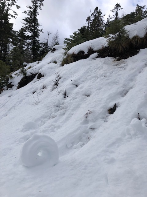
Observed cracking underneath skis above 6,000ft. Below 5,500ft, we saw rollerballs that were getting so big they were gouging to near ground and becoming very large on all aspects. All steep road cuts at that elevation were showing signs of rollerballs that were fanning out.Weather
- Air Temp
- 31
- Cloud Cover
- overcast
- Wind Loading
- moderate
- Rain Elevation
- 5300
- Recent Snowfall
- 12
- Snow Avail For Transport
- moderate amounts
Considerable amount of rain below 5,300, and snow continuing above that until about 2:00 in the evening. Winds were so strong near ridge lines we watched branches fall out of trees and form drifts on the road we had snowmobiled in on.
Snowpack
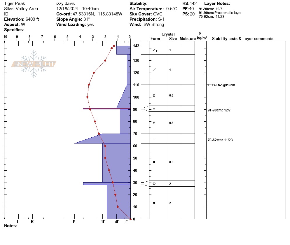
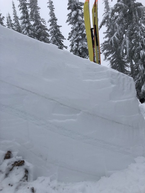
Rain line was observed to be at 5,300ft and the rain was fully saturating everything below that. at 5,500ft the top 2"-3" of snow was wet and saturated. Above the rain line the snow that was coming down was very dense and was falling on pre existing very light low density snow. Strong winds were transporting snow on exposed slopes and ridge lines, and we observed the strong winds depositing the snow lower on the slope, not just confined to below ridge lines. 12/7 rain crust was found at 6,400ft with 4F facets above it. No concerning failures in pit tests, but there was a heavier slab building on the top of the snowpack.