
Quick report
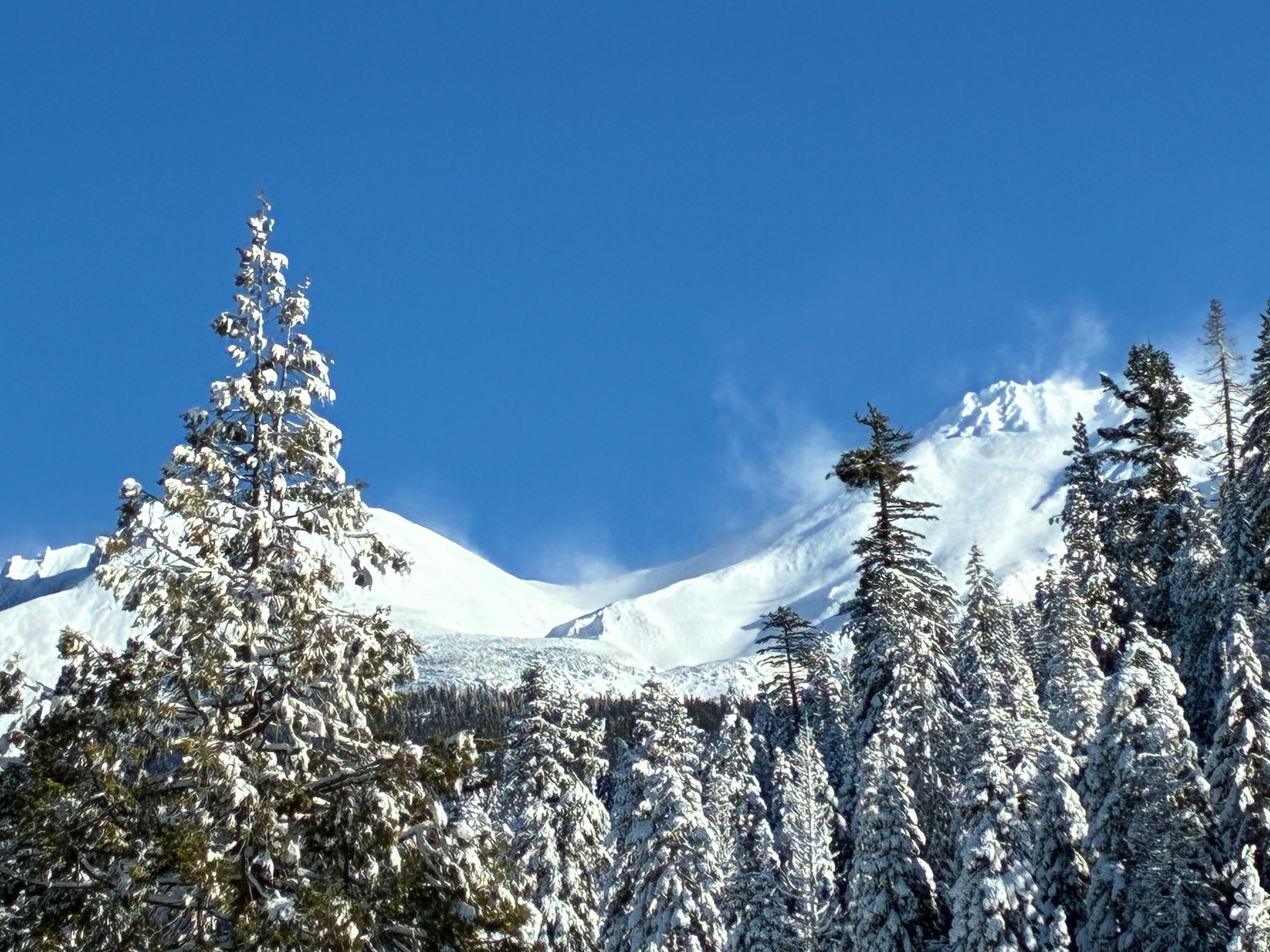
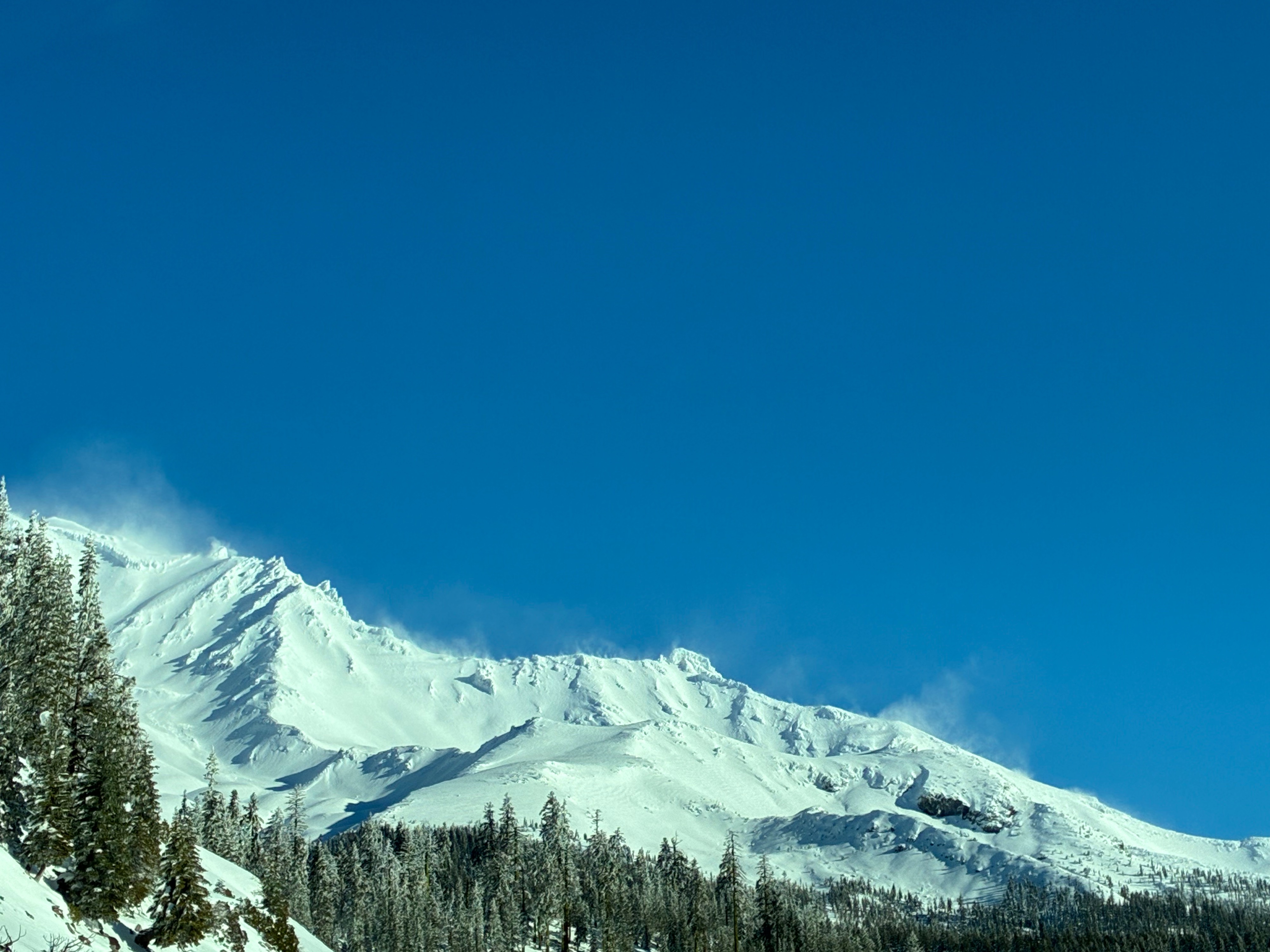
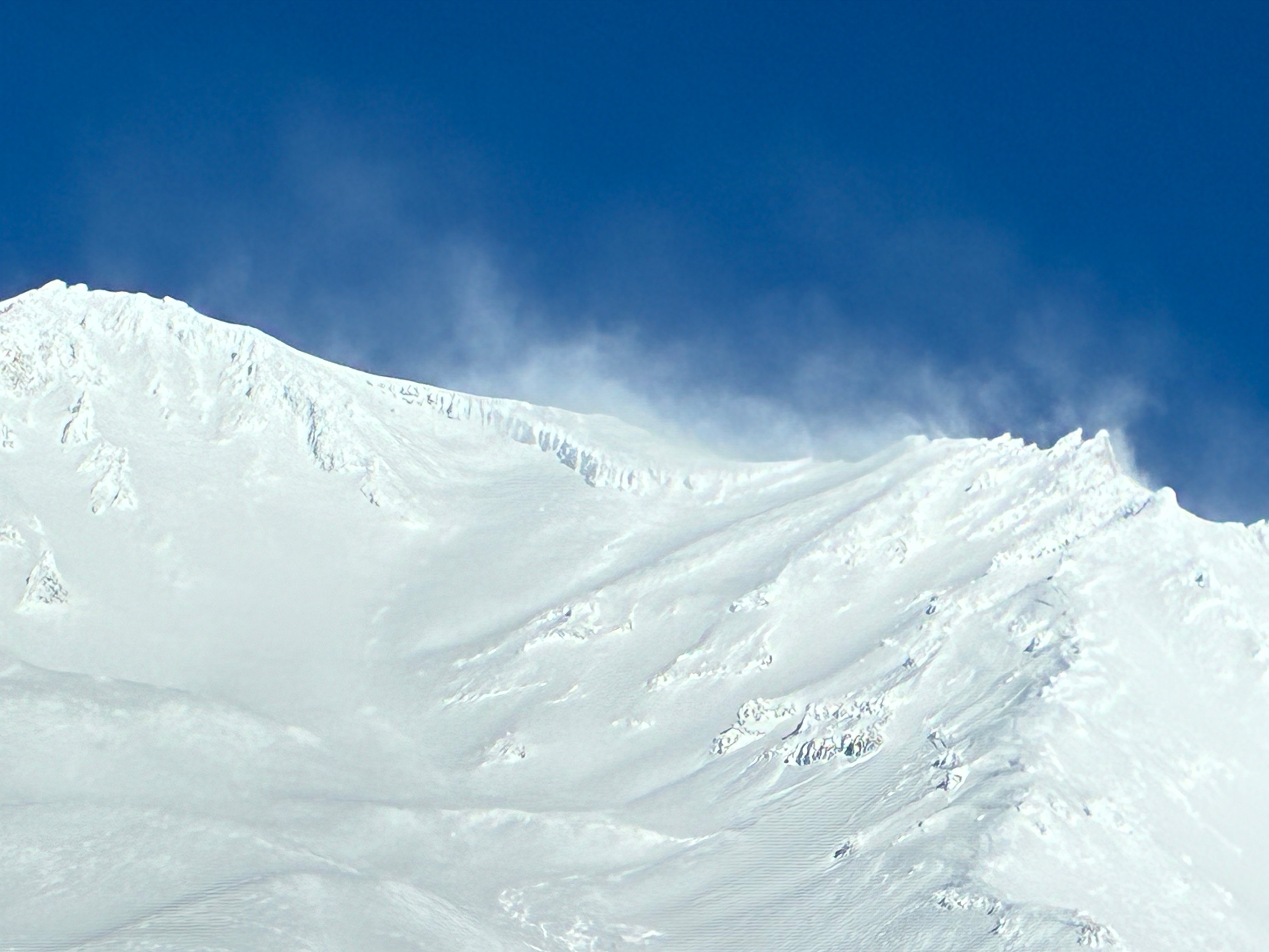
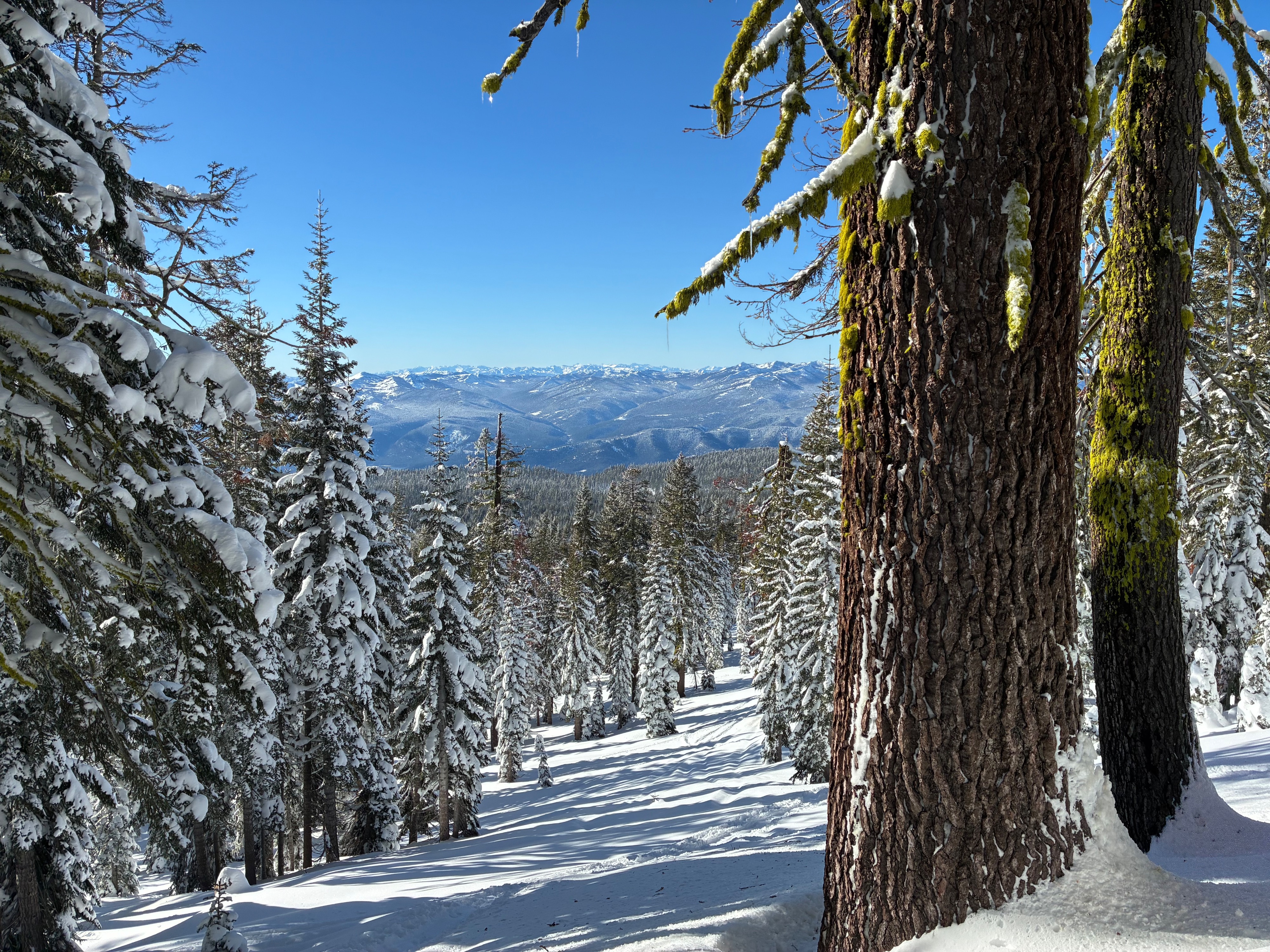
No major signs of instability were noted in areas I visited along Green Butte Ridge up to about 8,300 feet. Sensitivity to triggering is trending stubborn near and below treeline, however, reactive slabs may exist in isolated areas. The primary red flag was blowing snow at upper elevations on Mount Shasta from strong northerly winds aloft. This is likely loading terrain features on the southern half of the compass, including but not limited to open slopes below prominent ridgelines like Casaval and Sargean'ts Ridge.
No reg flads were observed, except for blowing snow on upper elevation ridgelines above treeline. All avalanches occured two or more days ago following the last major precipitation event - See previous observation for a summary of that avalanche cycleWeather
- Air Temp
- 32
- Cloud Cover
- clear
- Wind Loading
- intense
- Rain Elevation
- Not Observed
- Recent Snowfall
- Not Observed
- Snow Avail For Transport
- large amounts
A clear and crisp morning yielded to warming temperatures as the day progressed. Strong to extreme northerly winds were present at upper elevations with calm to light conditions below and near treeline
Snowpack
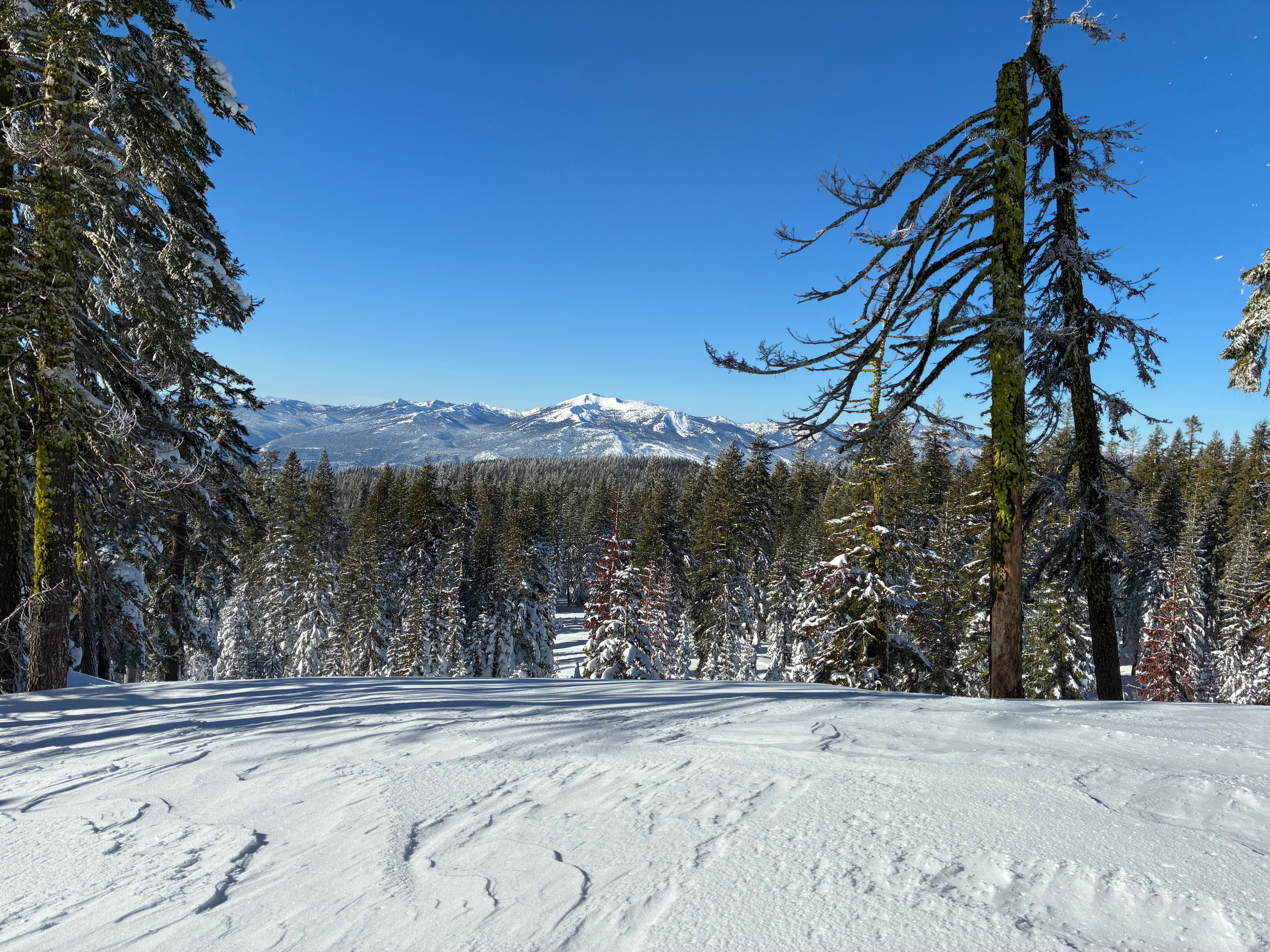
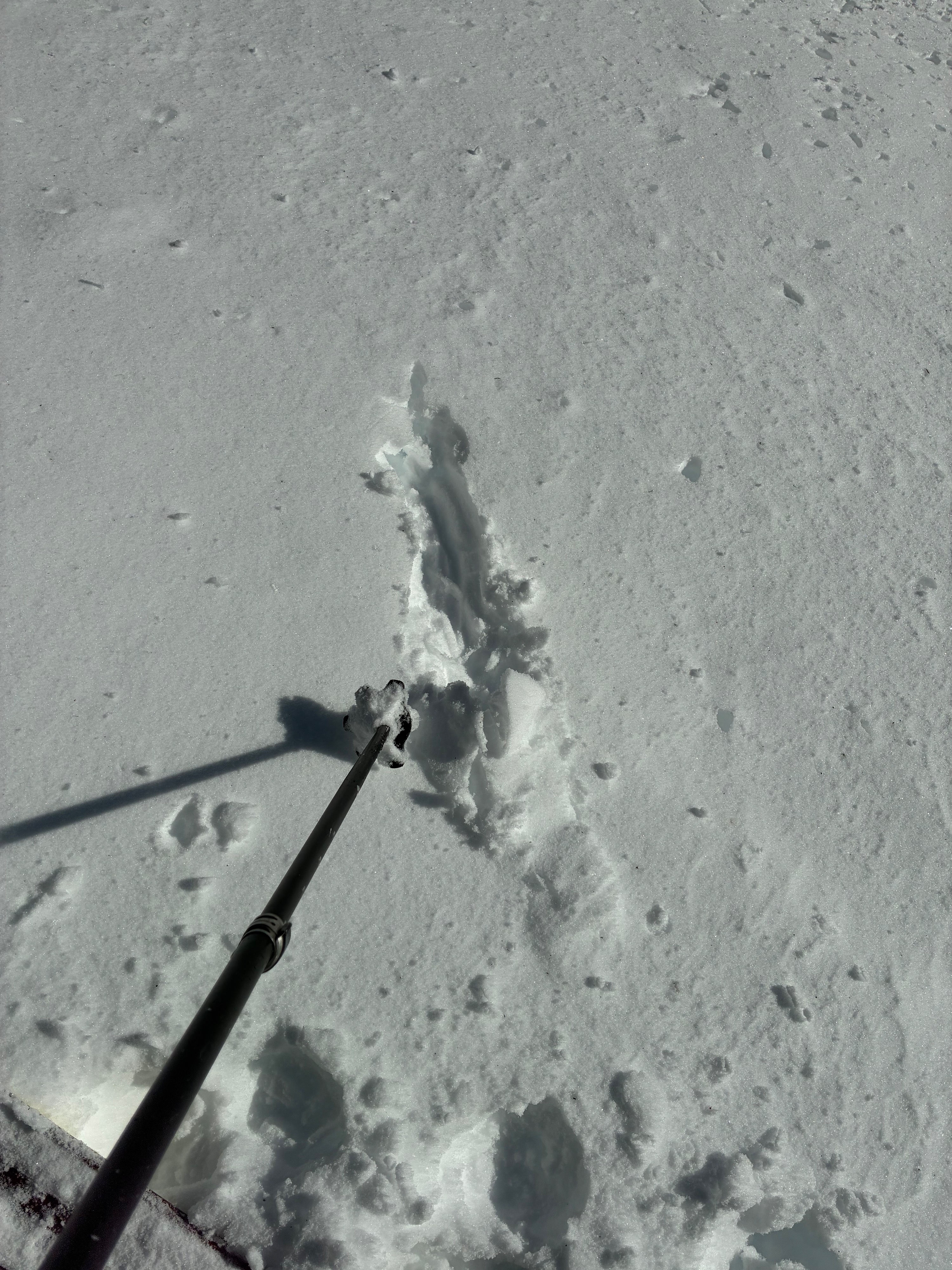
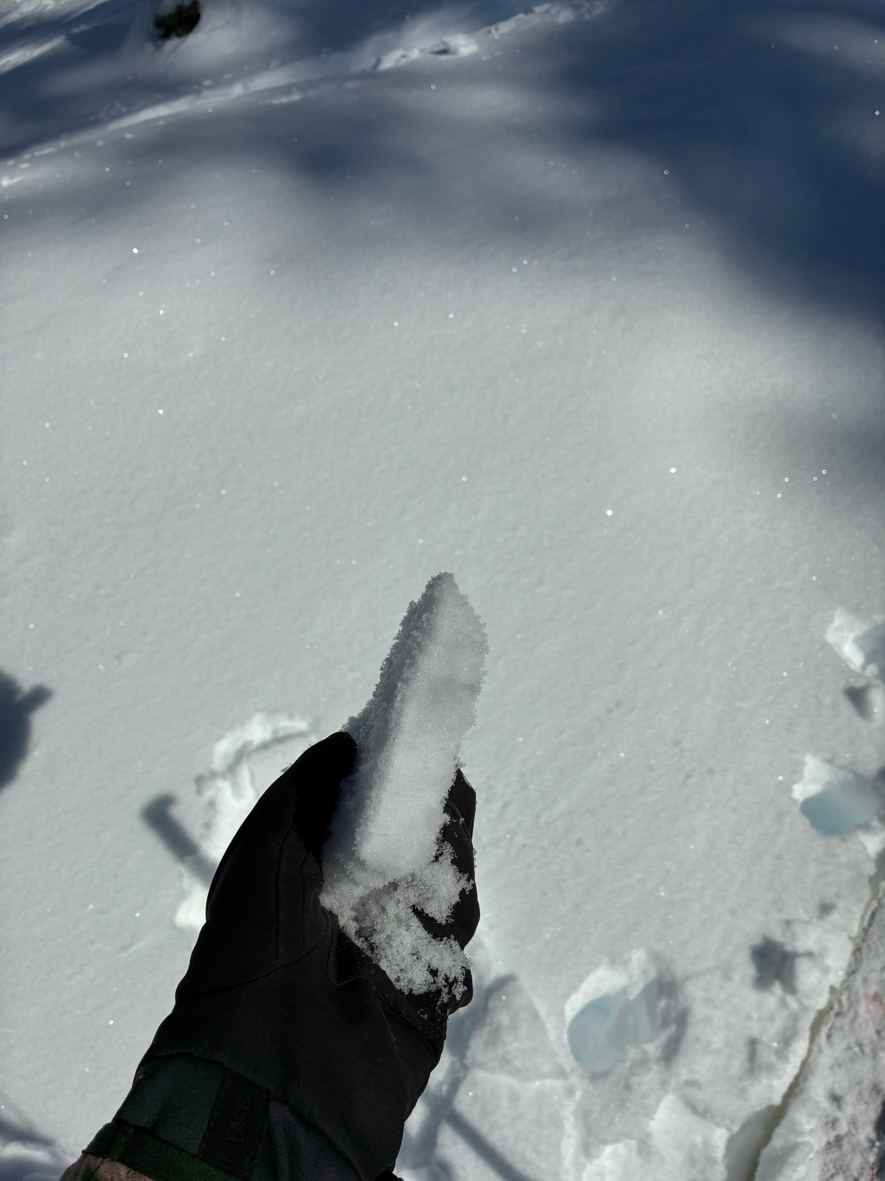
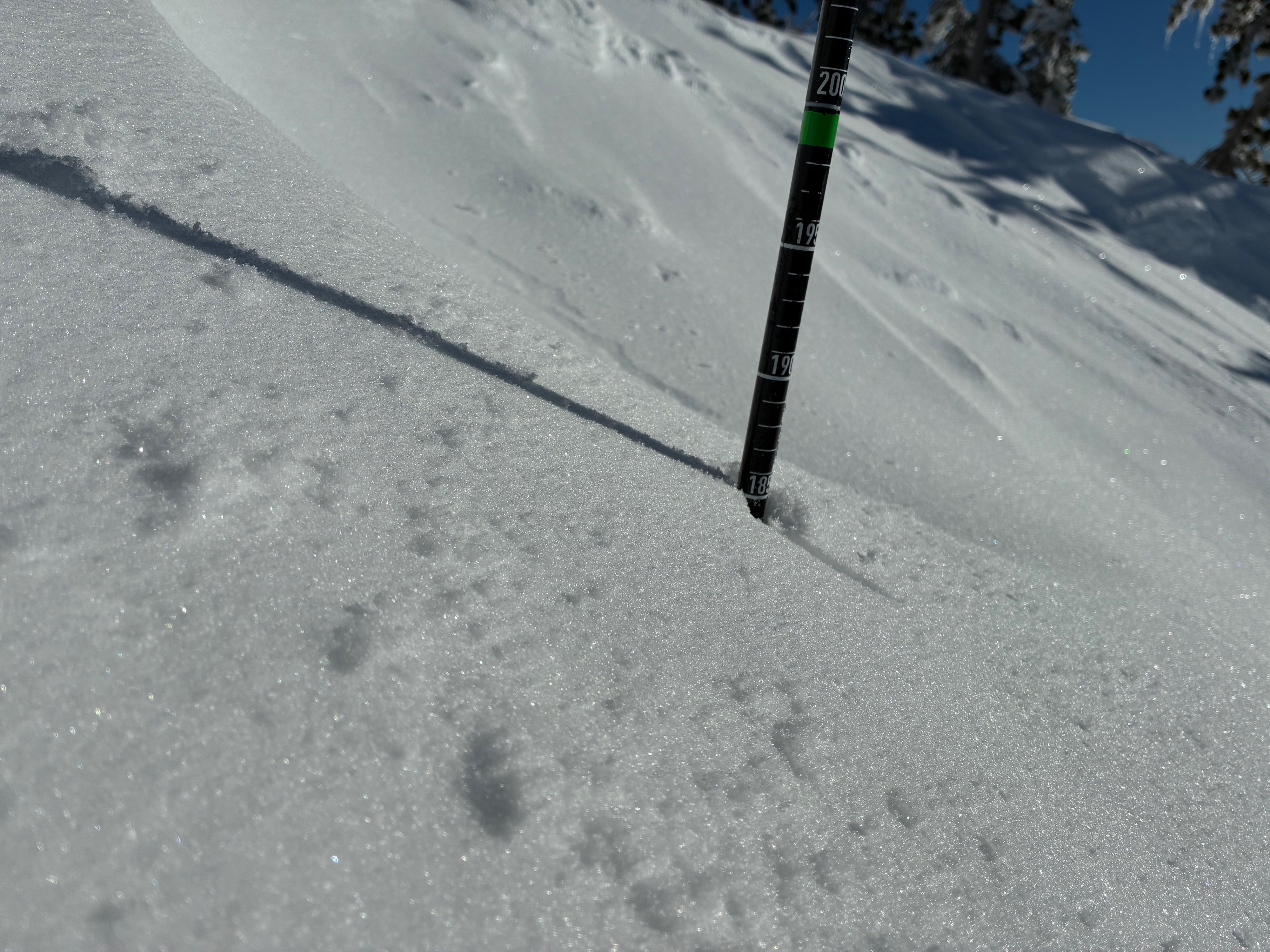
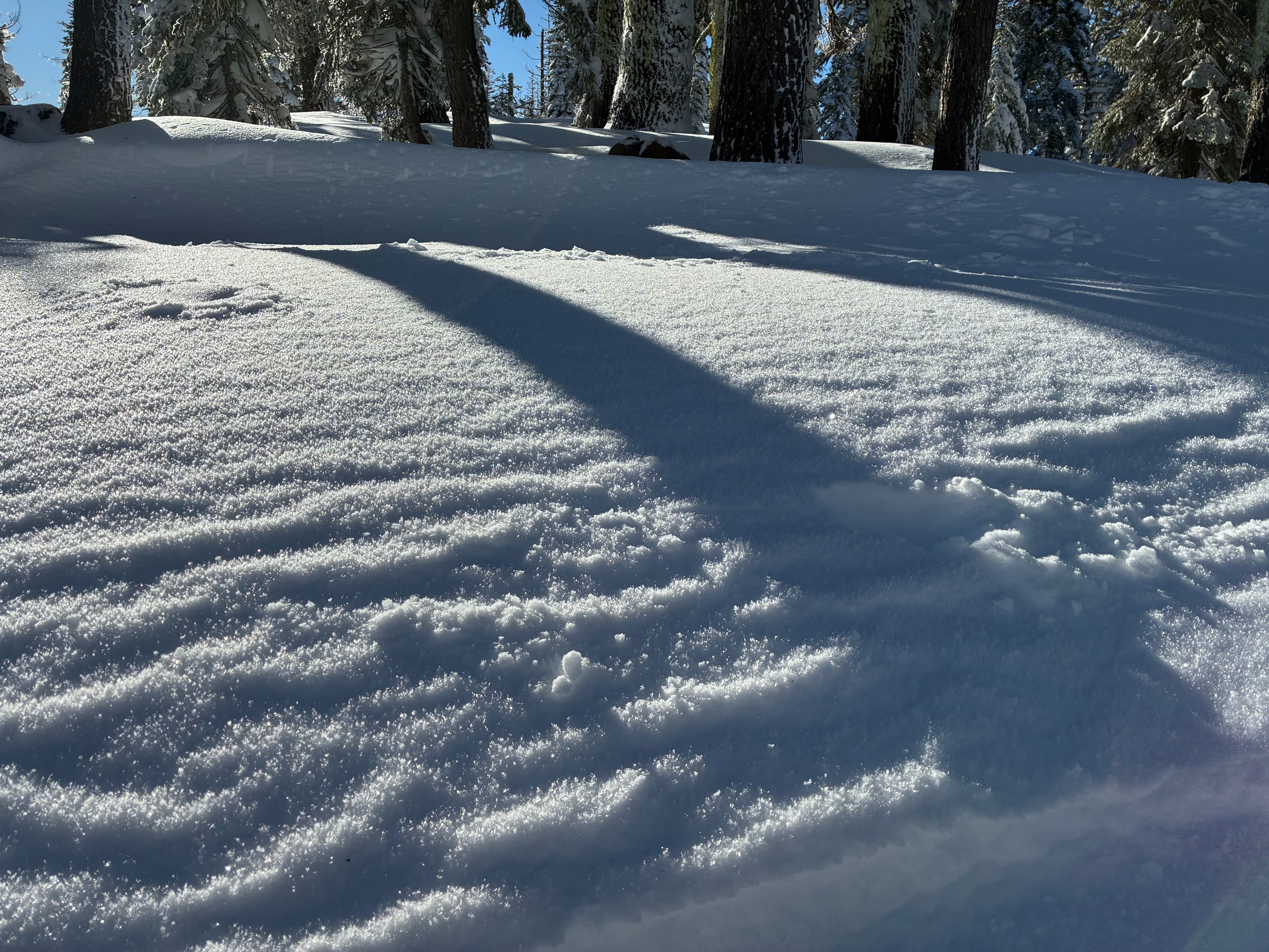
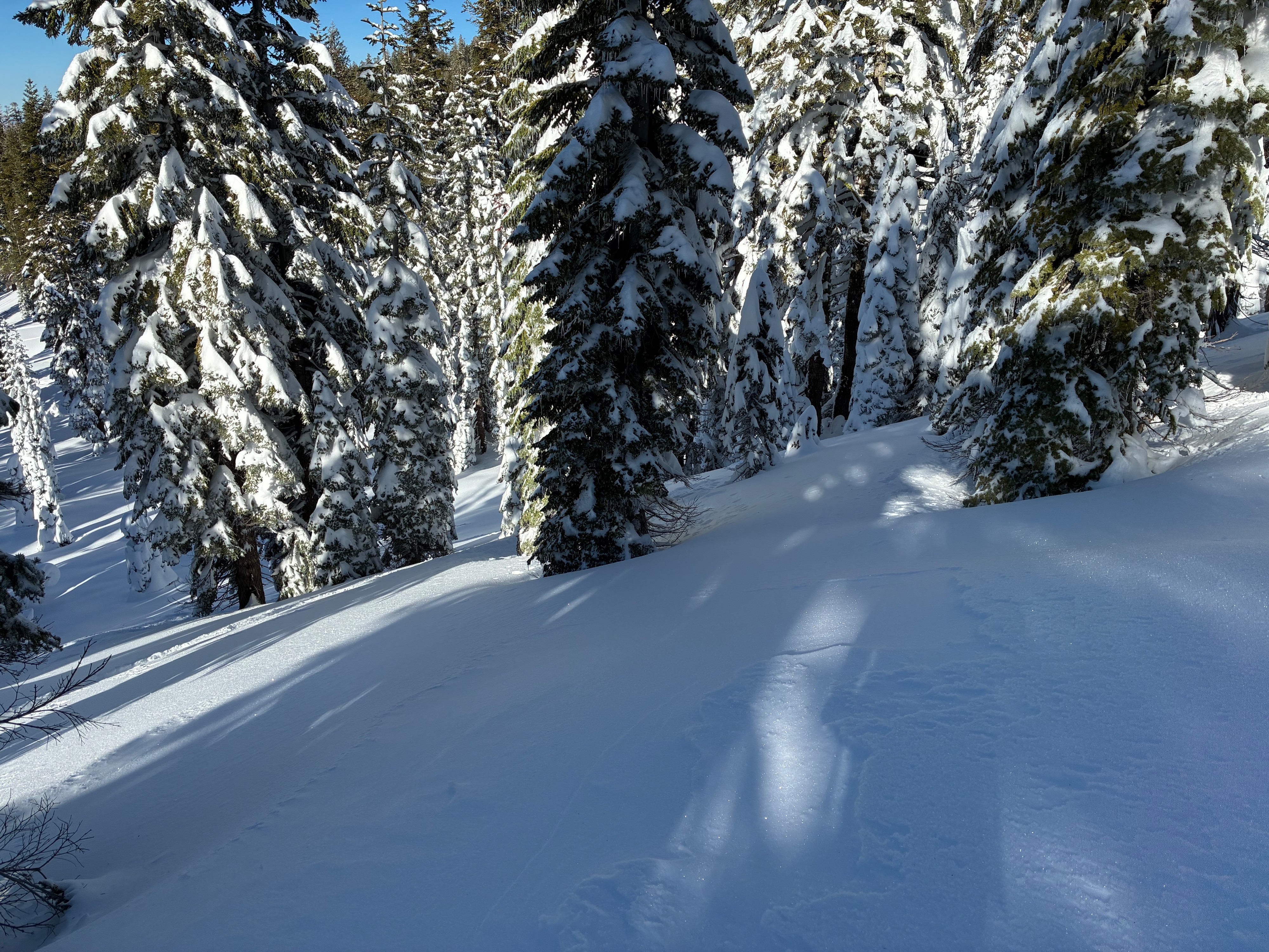
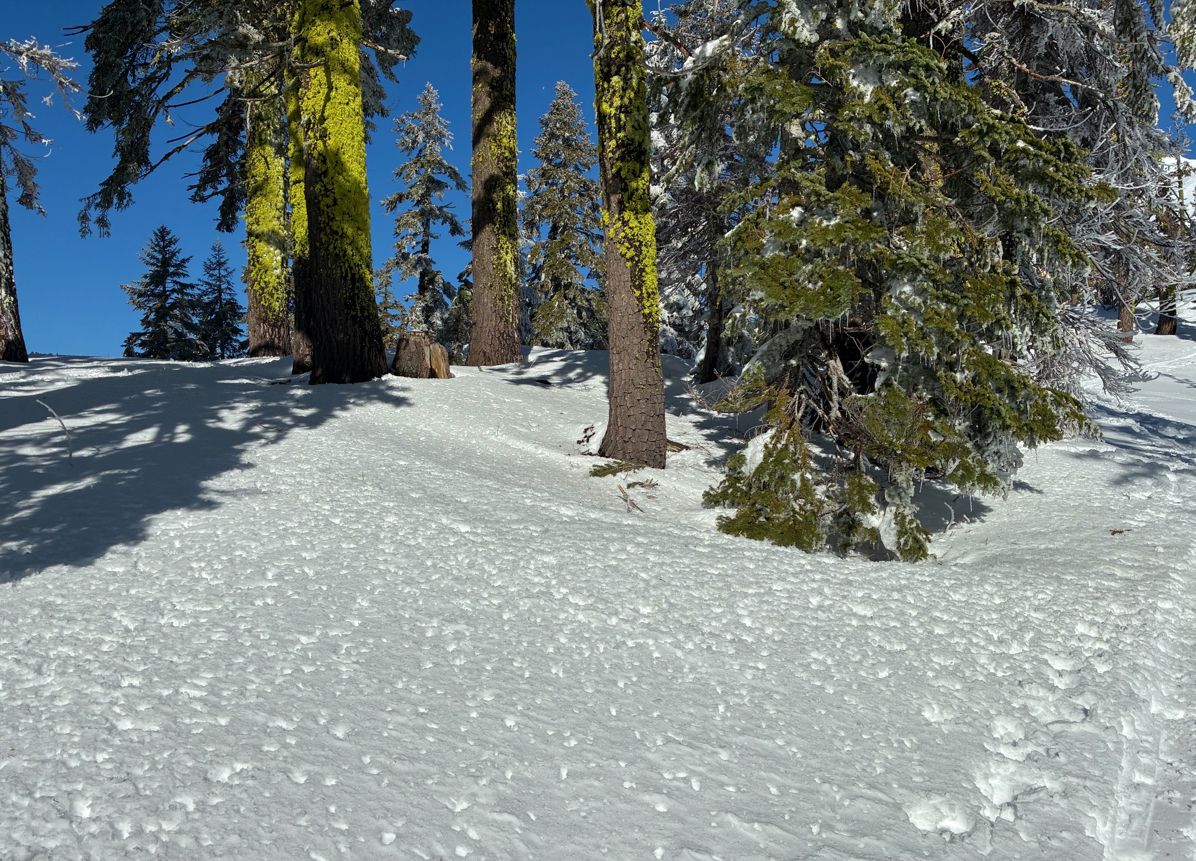
In exposed areas near treeline, snow surfaces became increasingly textured and more supportable due to strong wind affect. Below treeline, dry low density snow was found in sheltered and shady areas. Solar aspects harbored thin melt freeze crusts that softened in the direct sun as the day progressed. Surface hoar that formed overnight was also present on flat terrain in forest openings.