
Quick report
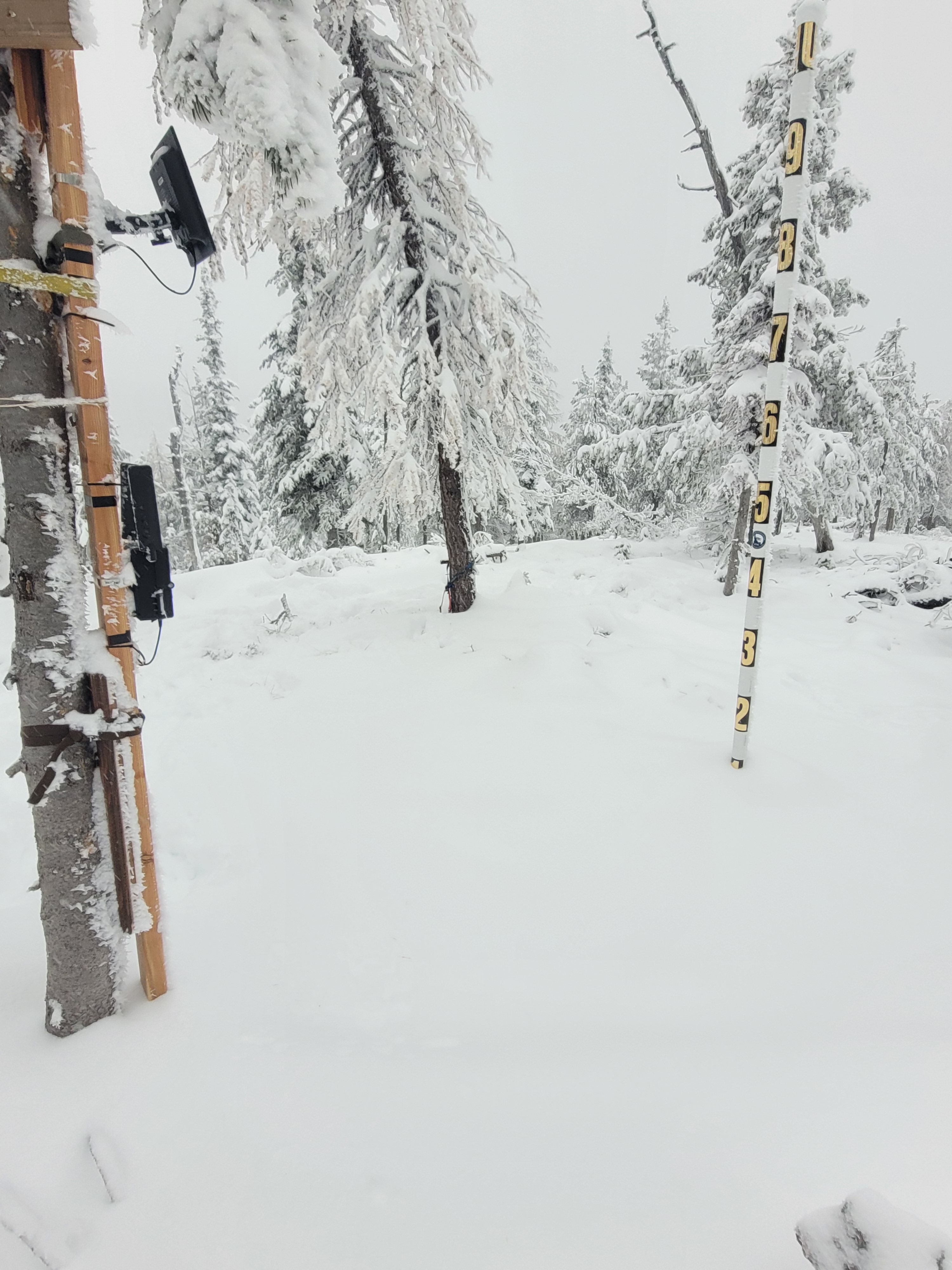
Traveled up 20 mile road to check on the snow camera and see how current conditions are stacking up. Before the recent snow about 5 days ago, bare ground existed on the majority of all southerly aspects along the 6000 foot ridgetop, while northerly slopes held some connected shallow coverage. Currently, as of today, a 20-25cm (8-10in) blanket of new snow covers the area and is still stacking up with the current storm.
Weather
- Cloud Cover
- overcast
- Snow Avail For Transport
- moderate amounts
Overcast skies with steady S1 snowfall and clam winds at around 11am.
Snowpack
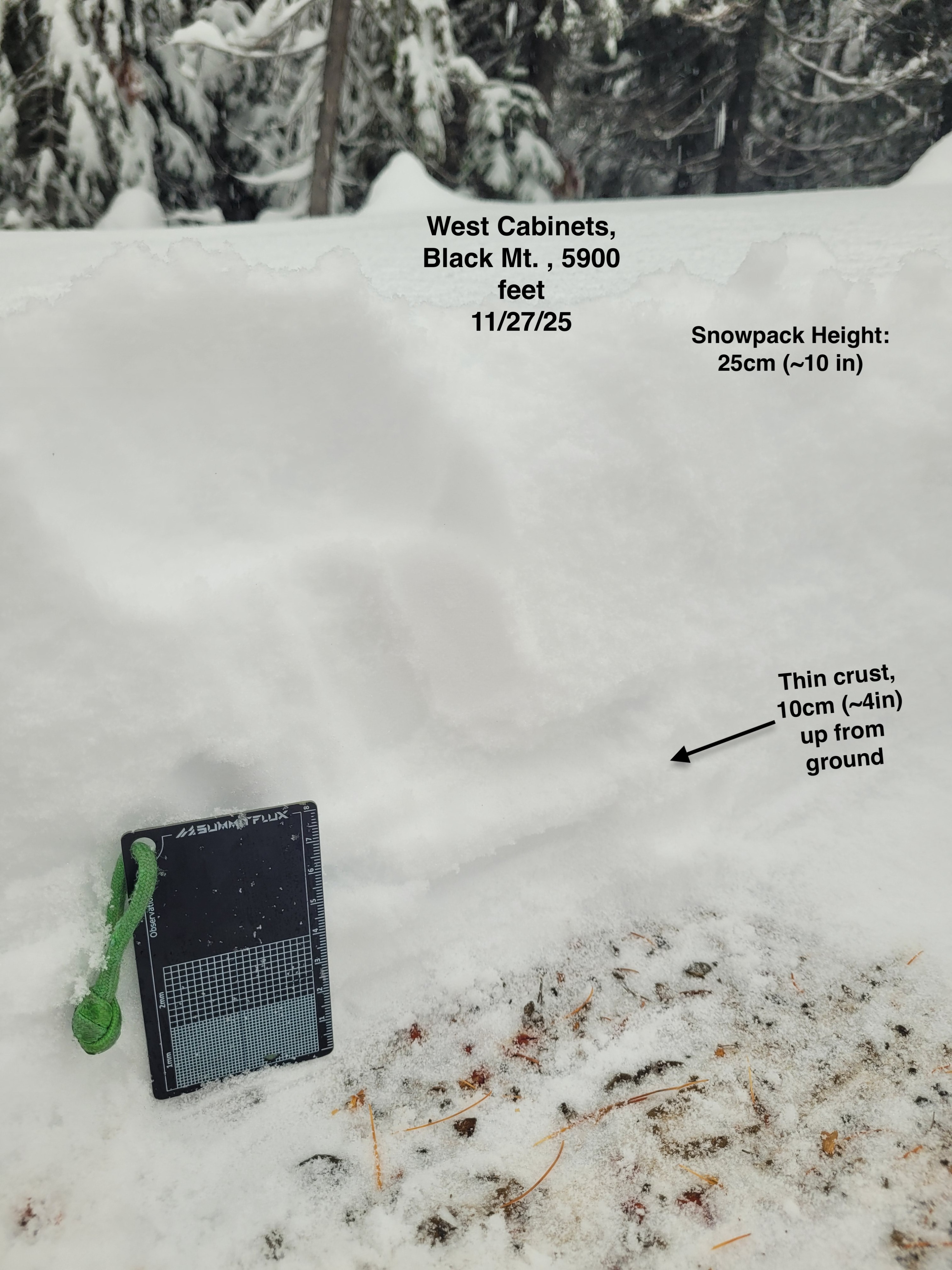
At 20 mile pass near 4500 feet I found 10 cm (~4in) of snow on the road and this slowly increased while I gained elevation. I found 20-25cm (~8-10in) of total snowpack height, with a right side up hardness profile, between 5600 feet to my high point at 5900 feet. While observations were limited in the amount of ground covered, I observed consistent conditions across this location. A thin, ~3mm thick P hard, rime/rain crust was present, 10cm up from the ground.