
Quick report
- Cracking
- specific
- Collapsing
- specific
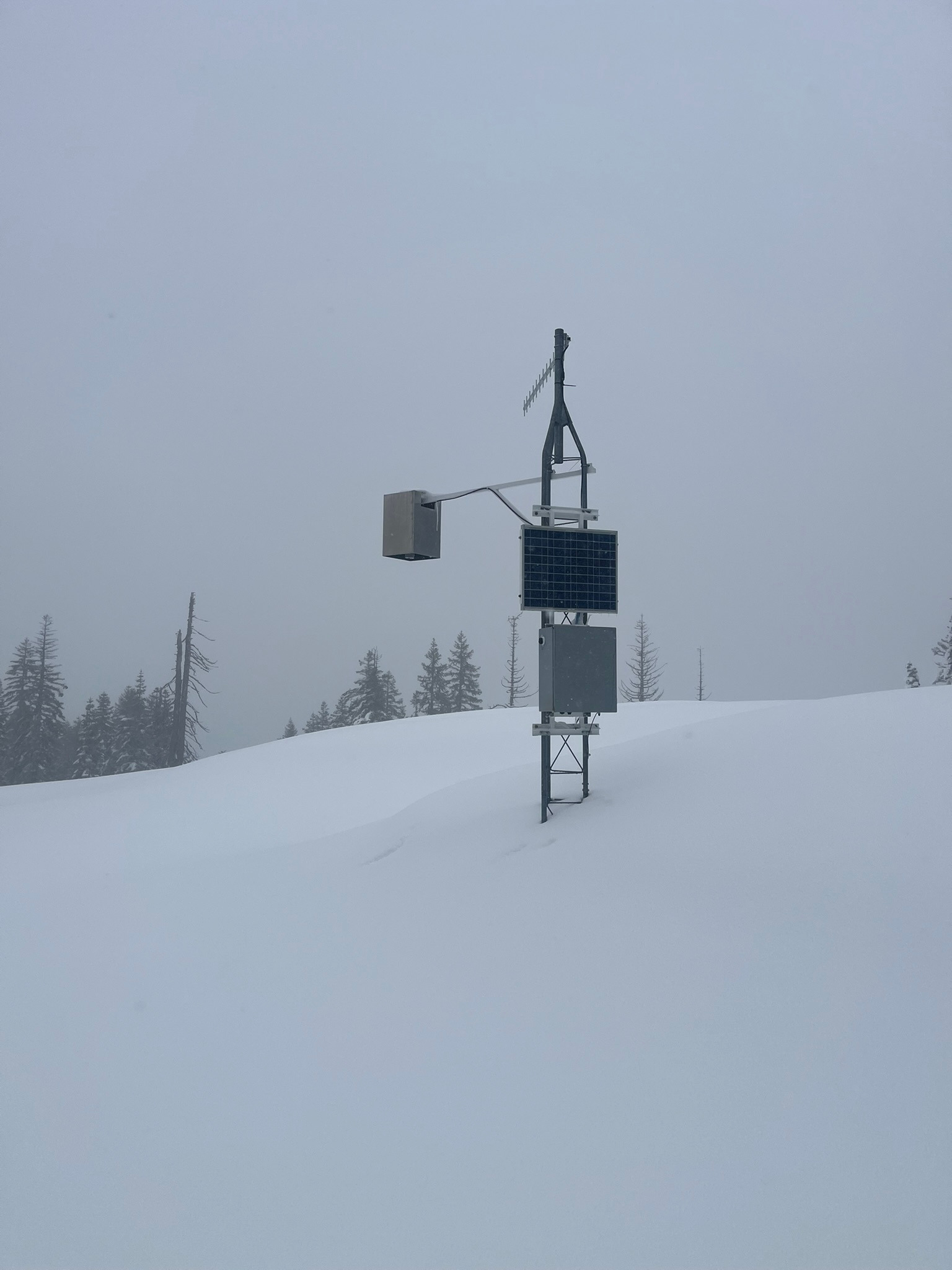
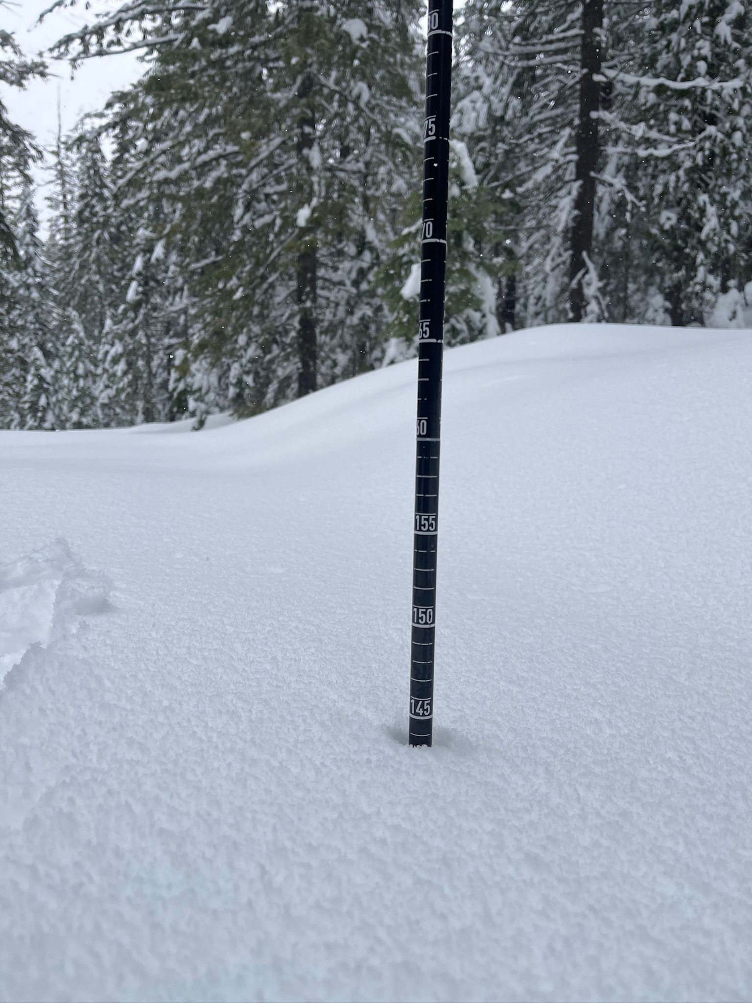
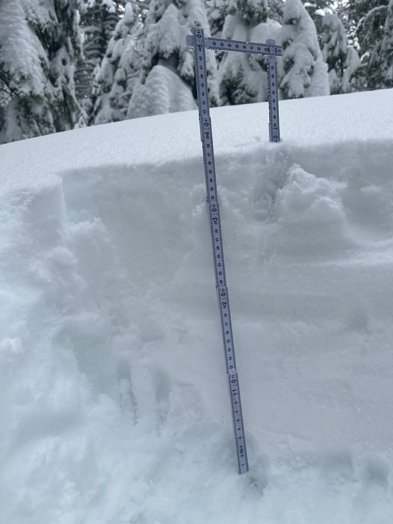
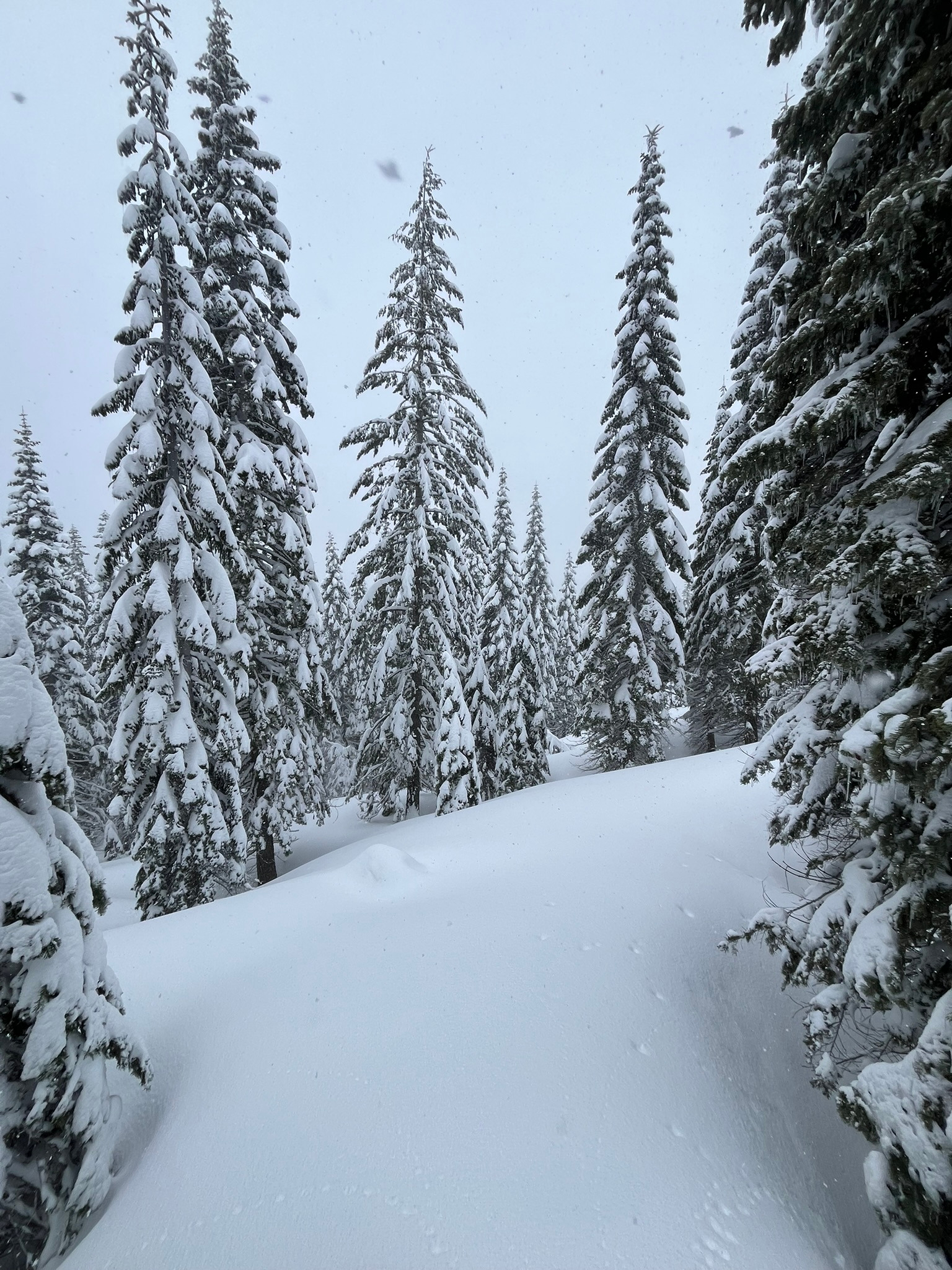
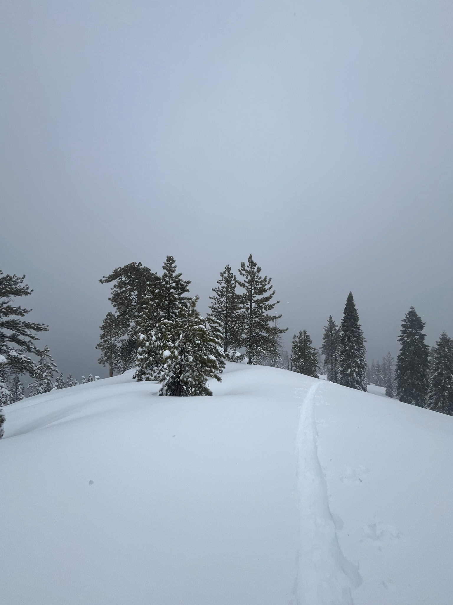
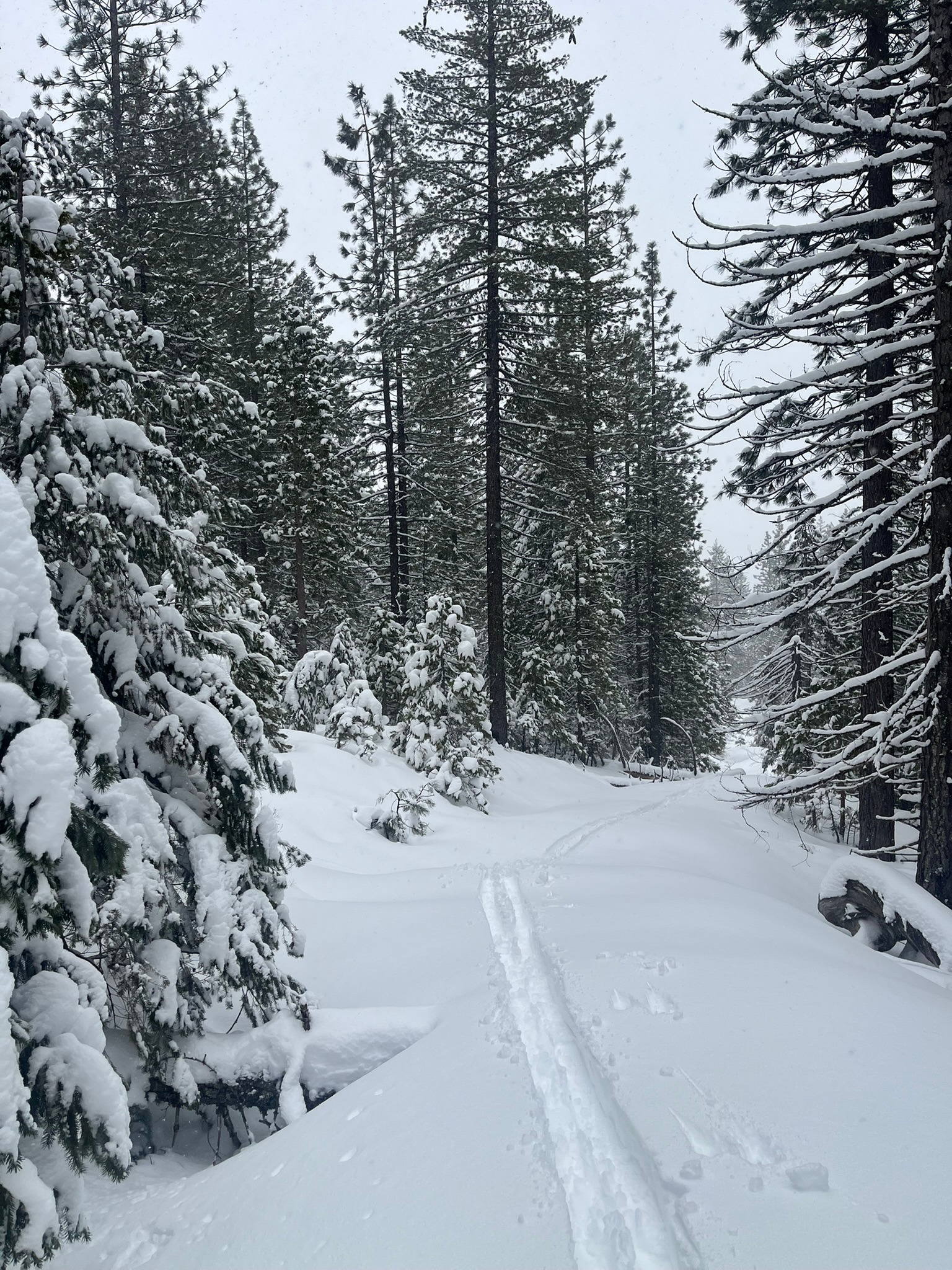
Today, a below treeline tour up northerly aspects to our weather station revealed snow surfaces succumbing to the warmer temperatures, becoming damp and sticky by midday up to 5,400 feet. Above this point, there are moderate amounts of dry snow available for wind transport and the southwest wind is drifting it onto north, northeast, and east aspects. Below 4,600 feet, the snowpack is thin but rapidly increases in depth as you gain elevation. Near the parking area, there is only about six inches of snow but as you near 4,600 feet, there is 12 to 18 inches of snow. Above 5,000 feet, the snowpack is remarkably deeper, measuring three to four feet on the low end and eight to ten feet deep as you climb higher.
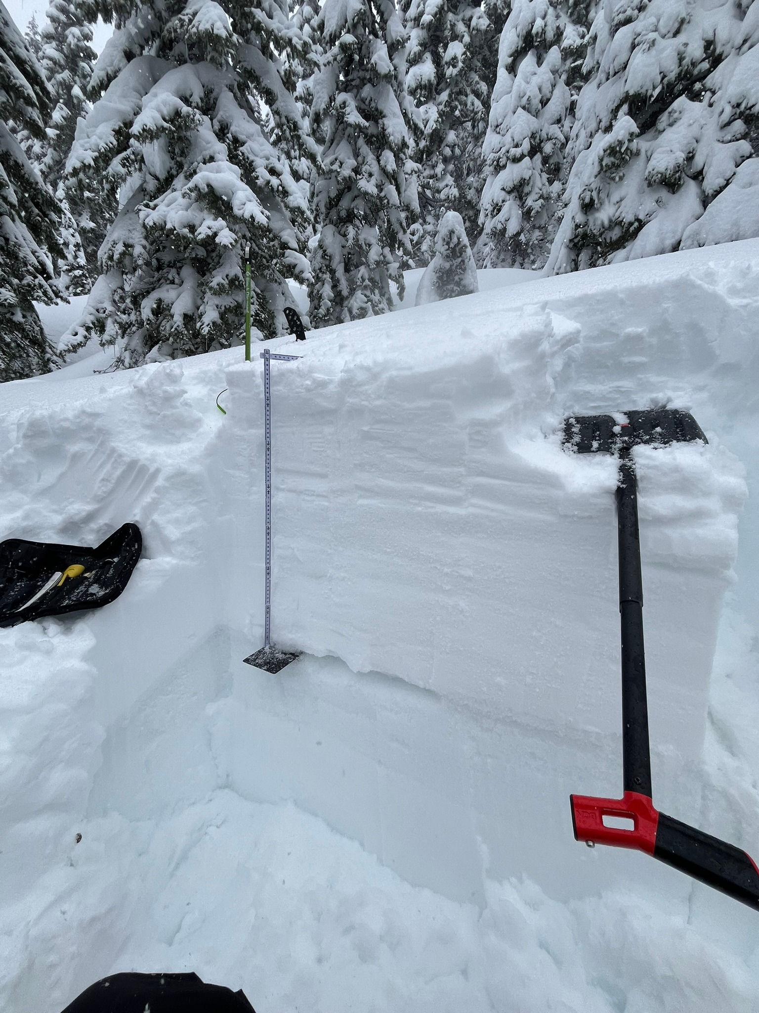
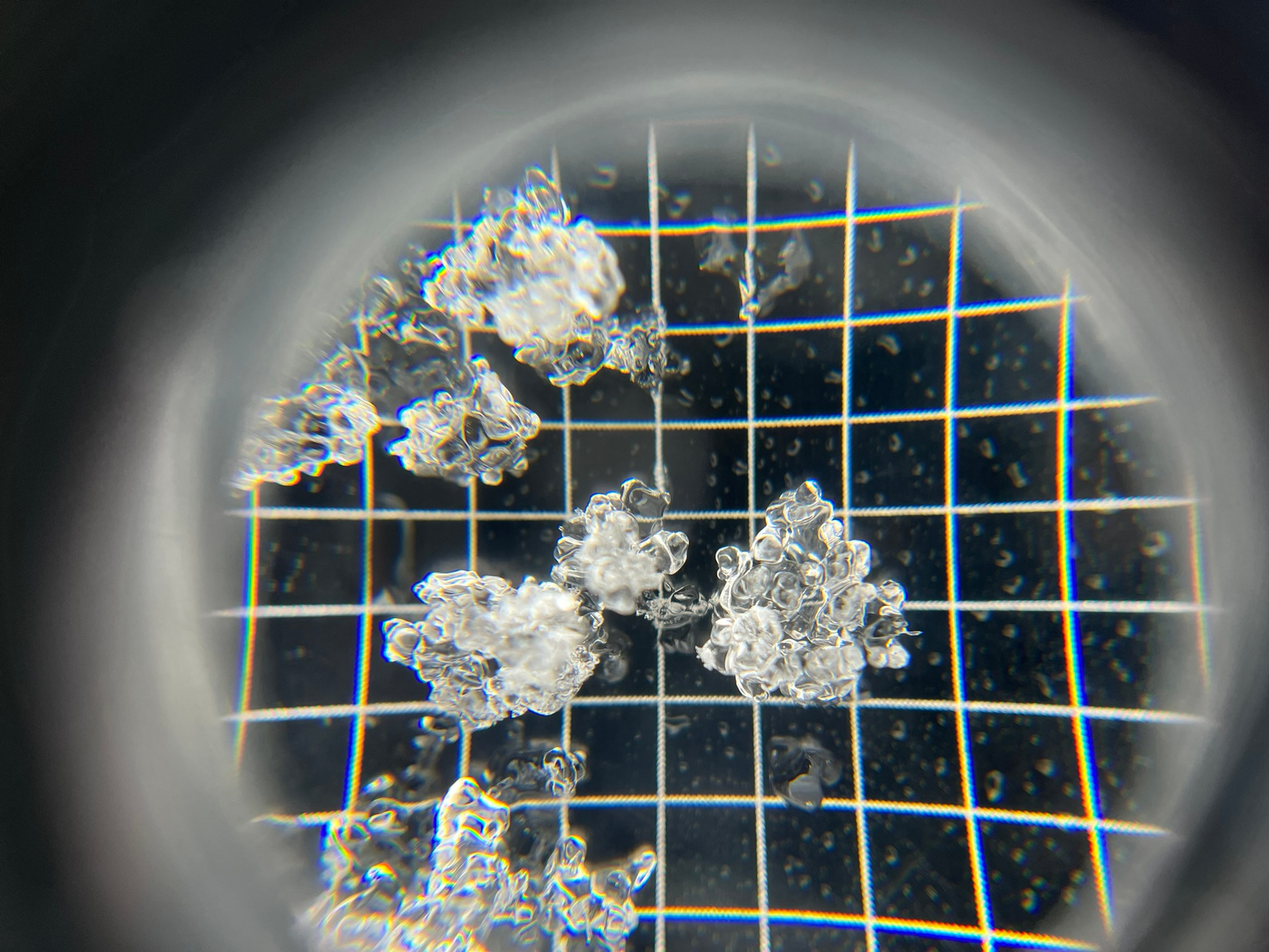
Overall, the snowpack is more stable today than yesterday with fewer shooting cracks and collapsing. Stability tests on a northwest aspect near 5,500 feet were also more stubborn to propagation, though the new/old snow interface that was buried on Wednesday is still a concerning weak layer. Today we found the new/old snow interface to hold a four centimeter thick layer of rounding facets. This is a different snow grain than the graupel we've been finding in the Gray Butte area. A weak layer none the less that warrants continued investigation. We have witnessed no natural avalanches or are aware of any human-triggered avalanches on this weak layer so it doesn't yield itself to a persistent slab problem quite yet. Continue to monitor this layer with additional loading from new snow and wind to come over the next few days.
Snowpack cracking and collapsing was specific to wind loaded areas above 5,000 feet, primarily northwest to northeast aspects.Weather
- Air Temp
- 27-37
- Cloud Cover
- obscured
- Wind Loading
- moderate
- Rain Elevation
- 4,000
- Snow Avail For Transport
- moderate amounts
Light snowfall obscured skies, and southwest wind blew moderately with strong gusts. Temperatures trended slightly warmer than yesterday.