
Weather
- Air Temp
- 25
- Cloud Cover
- scattered
- Snow Avail For Transport
- small smounts
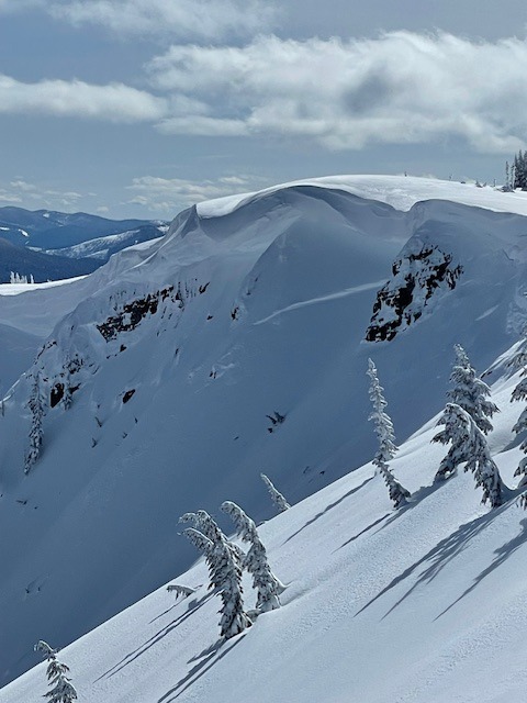
Mostly sunny skies, with clouds moving in around late afternoon. Temps in mid 20s- low 30s. Light wind out of the southwest, occasional moderate gusts below ridgeline, and more sustained moderate gusts above.
Snowpack
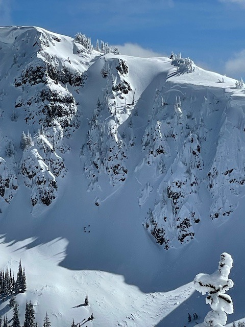
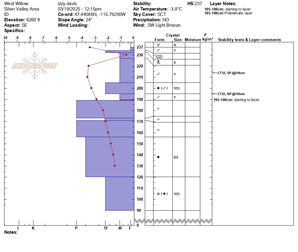
Recent storm slab (2-3ft) showed signs of strengthening in the wake of last weekends storm. Small density changes within the slab, but overall proved it was acting pretty stubboorn in snowpit tests. Today was a transition day between storms. New snow+strong winds in the next coming days may increase the sensitivity of these layers again.
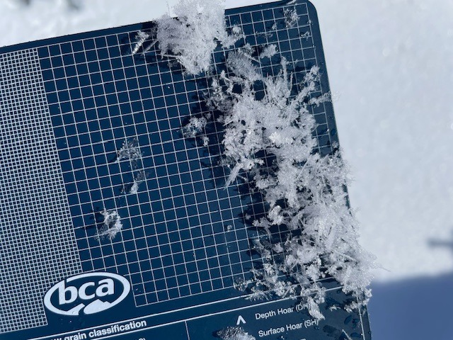
CT12@214 SP within the storm snow, on a layer of preserved stellars. ECTX. Surface hoar that averaged 3-6mm was widespread from 4000'-6300' and was still in tact by the afternoon. The sun helped knock some of it down on the most solar aspects, but much still remained. 3/9 sun crust could be felt 30-40cm down, but didn't produce any faillures in our tests-average 2cm thick. A layer of lighter density (4F) snow was found above the late Feb rain crust, and didn't proudce any failures in tests, but failed easily with the insertion of a shevel in the back of the column.