
Quick report
- Cracking
- isolated
- Collapsing
- isolated
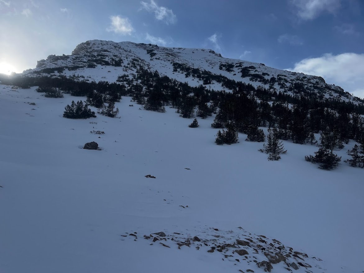
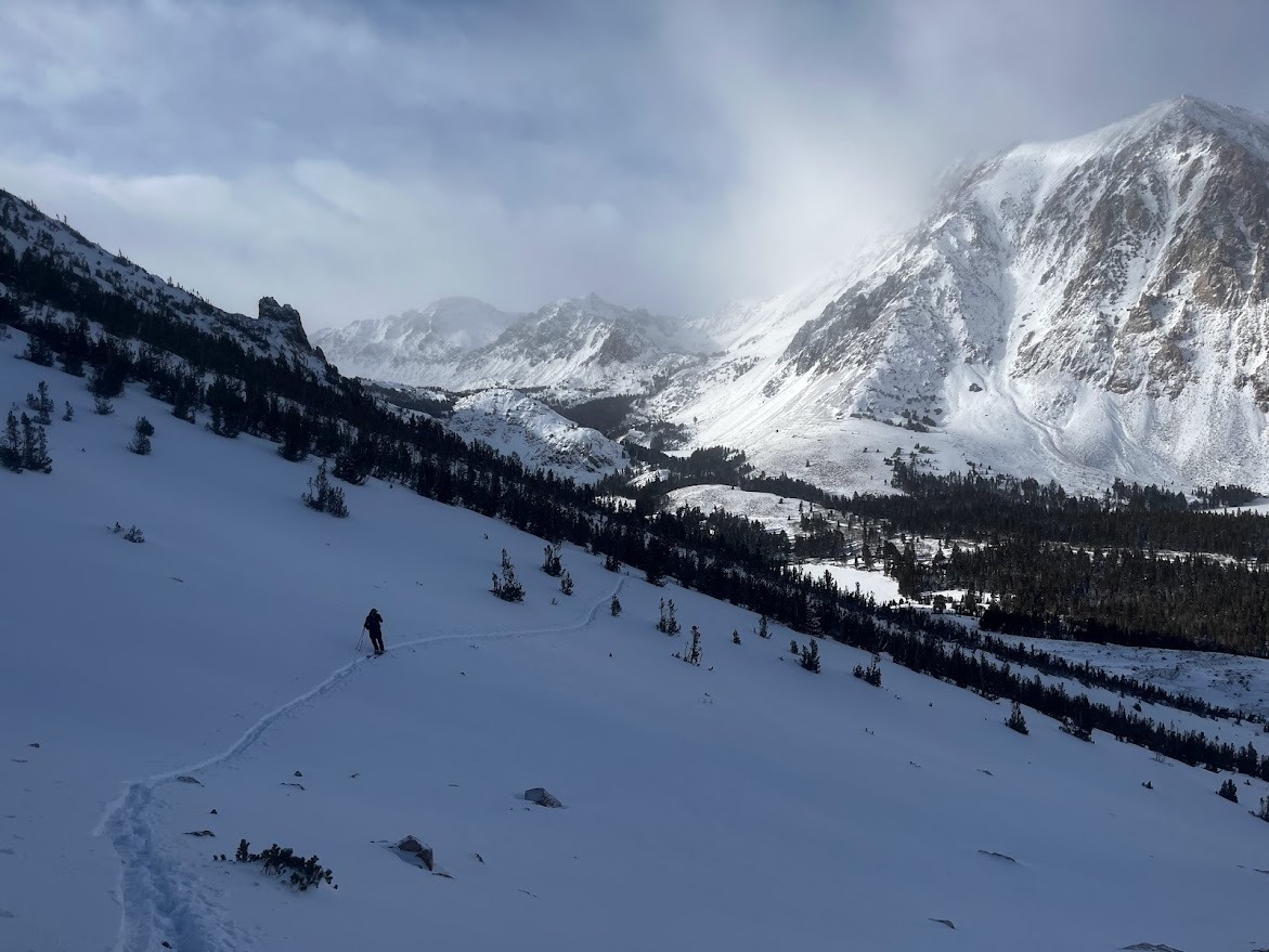
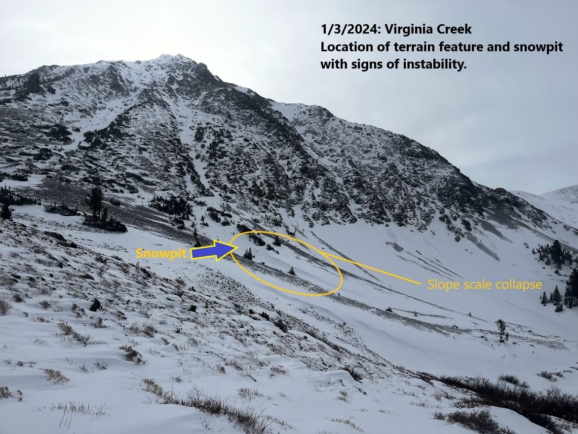
Forecasters reached the Olsen South Peak Col from Virginia Creek today. The main objective was to assess new snow and surface instabilities in the northern part of the forecast area following last night's storm. 6-10" of very light snow seems to have fallen in the past 12 hours Snow showers continued off and on throughout the day with moderate winds from multiple directions. Some blowing snow was observed along ridgelines, but all in all, above treeline terrain looks more scoured than loaded in Virginia Creek. One large slope scale collapse caught our attention - this was in a cross-loaded feature near treeline. We are still hitting rocks almost everywhere. New snow and a weak snowpack made travel on skis feel worth the trouble of hitting rocks on most turns on the descent to the vehicle. In the Virginia Creek area, the new snow is not enough to radically change the assessment of the persistent slab problem from yesterday or to cover up ground obstacles. We are still waiting for more slab development to increase the distribution of the persistent slab, and shallowly buried objects continue to be the main hazard. We observed several collapses ranging in size and largely in areas where recent wind loading had deposited a supportable snow layer over weak old snow layers.
Weather
- Air Temp
- 20
- Cloud Cover
- broken
- Wind Loading
- moderate
- Recent Snowfall
- 15-25
- Snow Avail For Transport
- moderate amounts
Snowpack
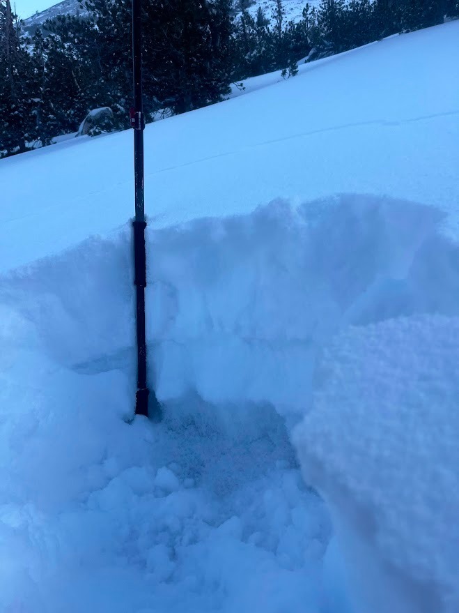
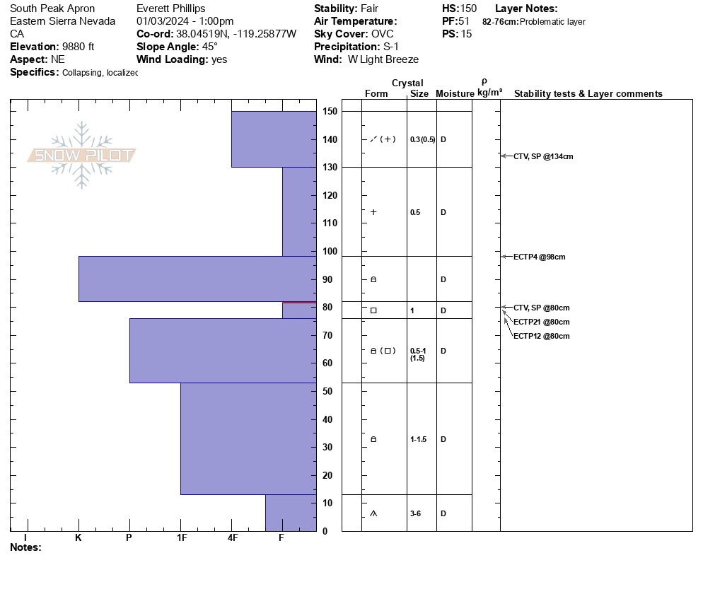
6-10" of new snow in Virginia Creek today. The total depth of snow ranges from bare ground up to one and a half feet. In select wind-loaded features, over three feet of snow can be found. Ski and boot penetration are good numbers to track out there. In most places, the skis are sinking past the recent storm snow into old snow and rocks to a depth of a foot or more. Where the skis begin to ride on top of the new/old interface (ski pen ~8") collapses begin to occur, indicating the localized presence of a strong enough slab over a weak mid and lower snowpack. See the snowpack and observation photos.