
Quick report
- Cracking
- widespread
- Collapsing
- widespread
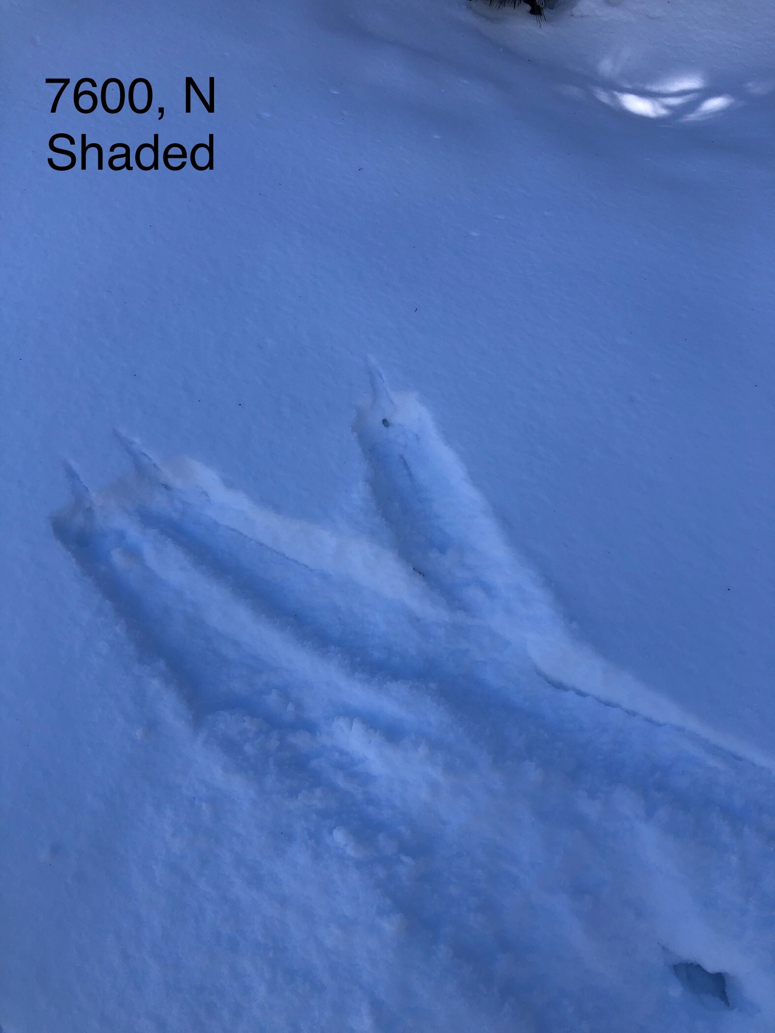
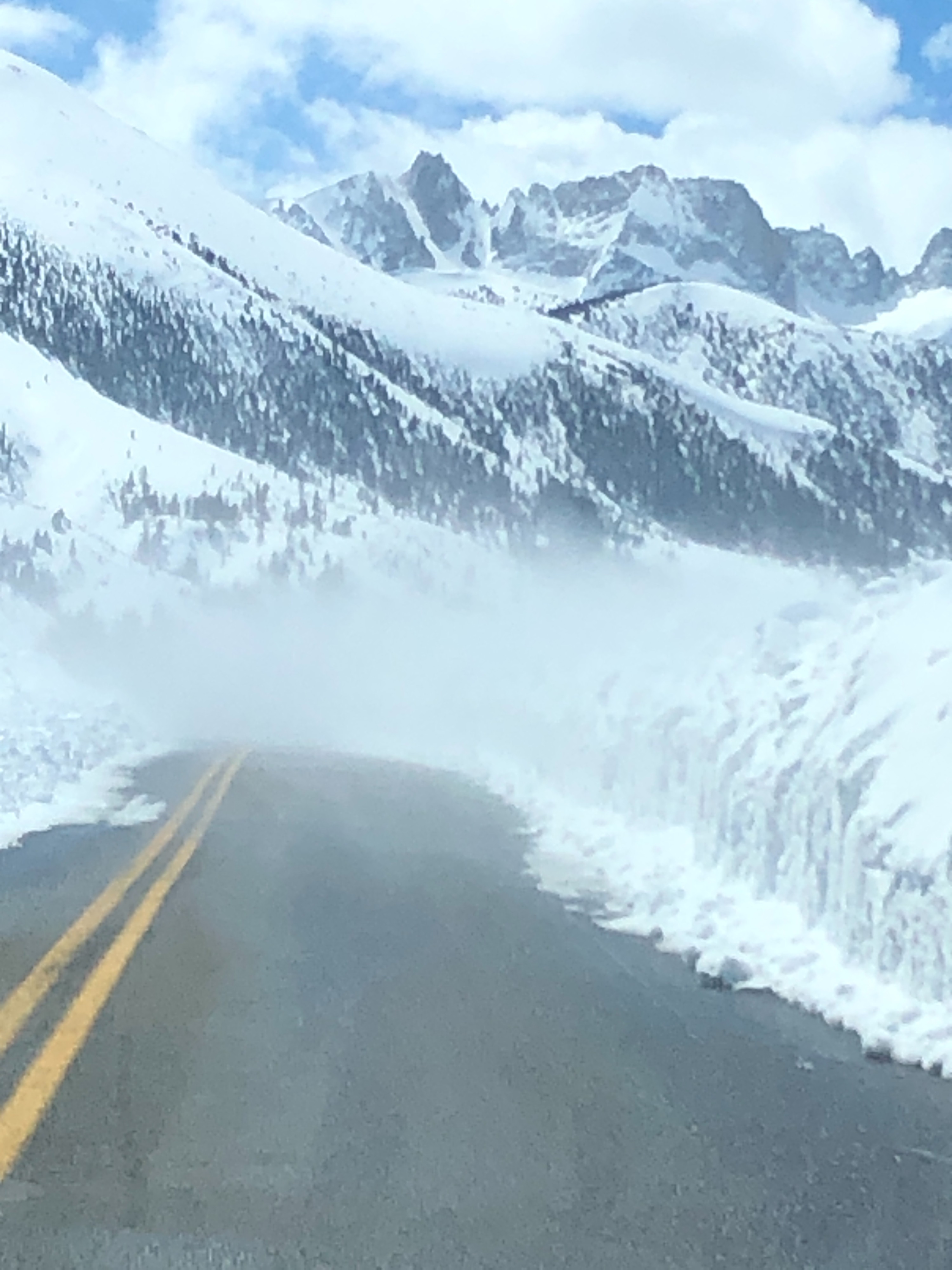
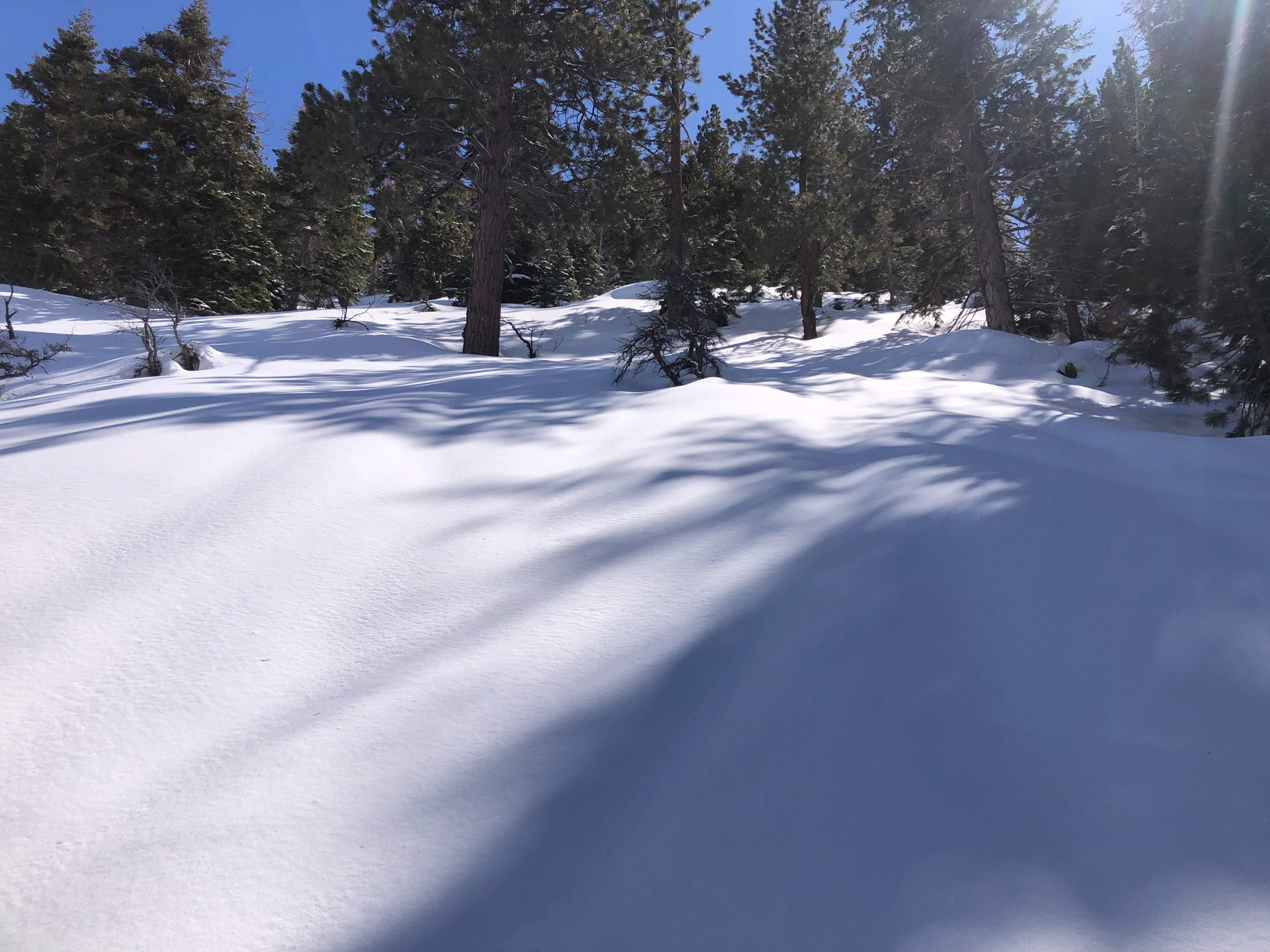
I went for a jaunt up Horse Creek drainage to gather information on snow conditions before the incoming weather. I observed 5-10 cm of new snow as I ventured from 7000' - 8000'. Any snow that had been exposed to sunlight was wet, and rollerballs were present. Even N aspects were receiving enough sun to be wet by 1400 hrs thanks to the high March sun. I began to find soft, cold snow in very protected N aspects that remained in the shade all day as I approached 7500' and above. Even after breaching 8000', sun exposed snow was wet, while more protected aspects held soft, cold snow. I felt consistent collapsing as I traveled, on every aspect. The entirety of the upper snowpack is moist up to 8000', and there are multiple crusts failing underfoot.
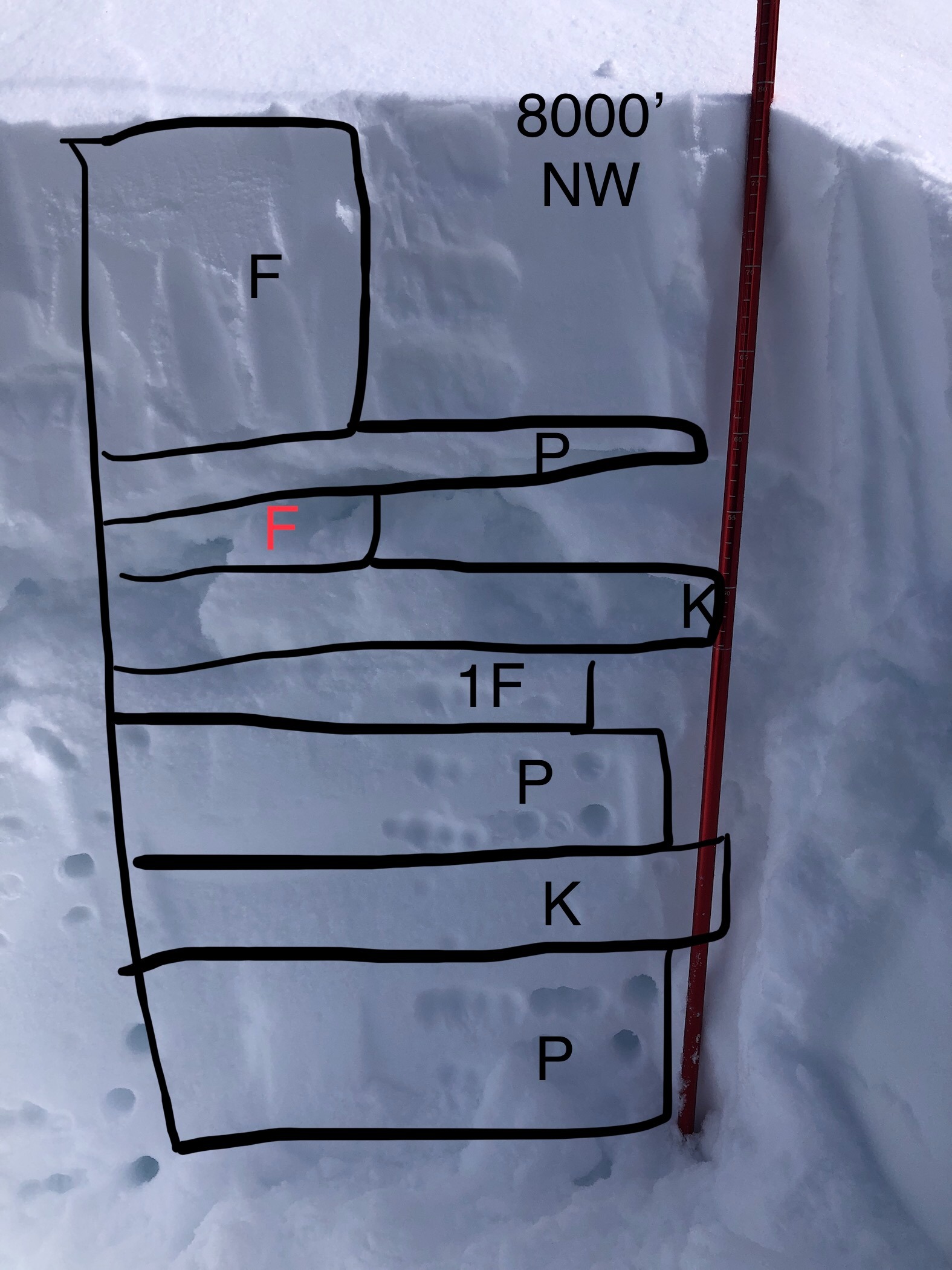
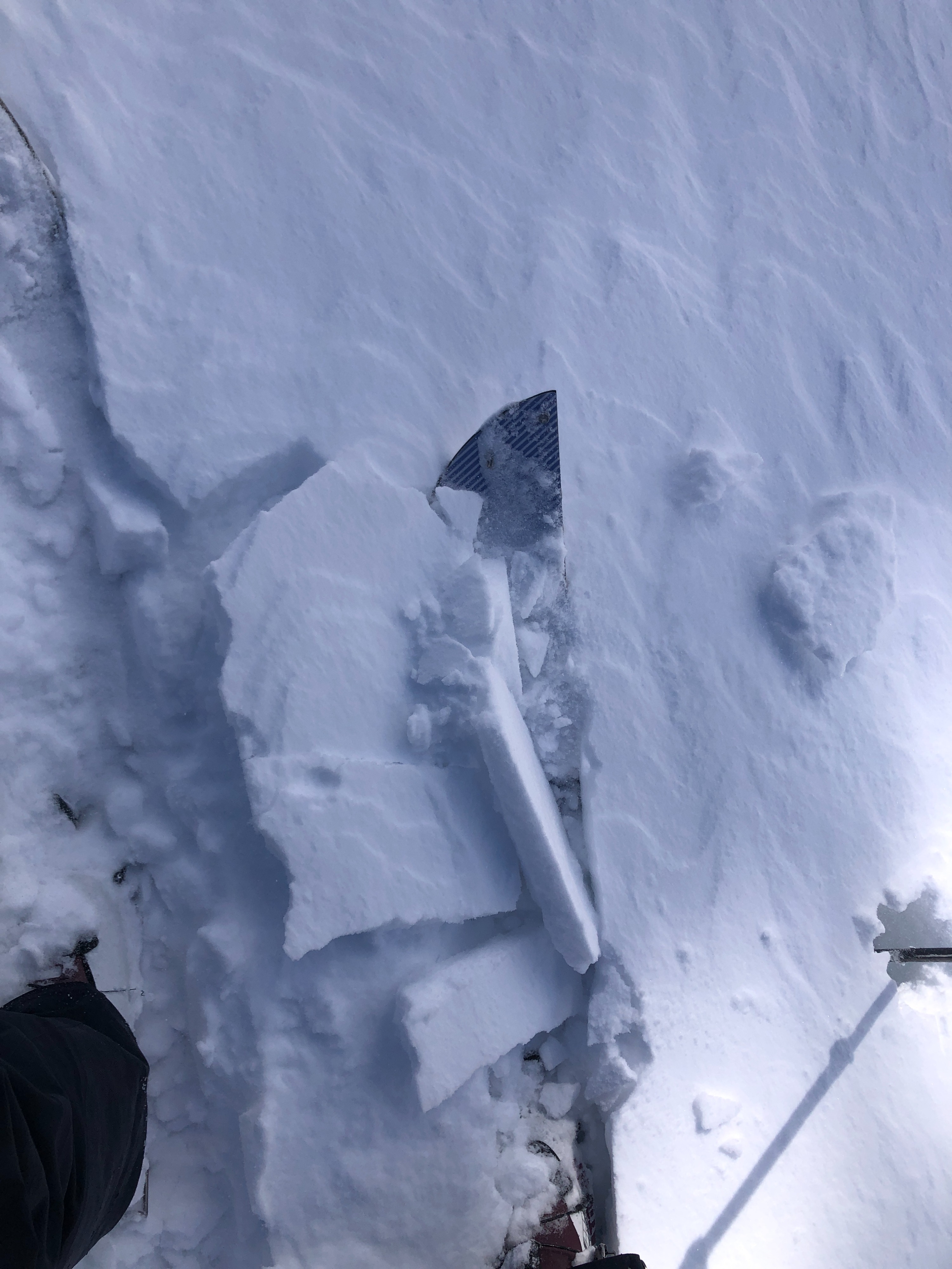
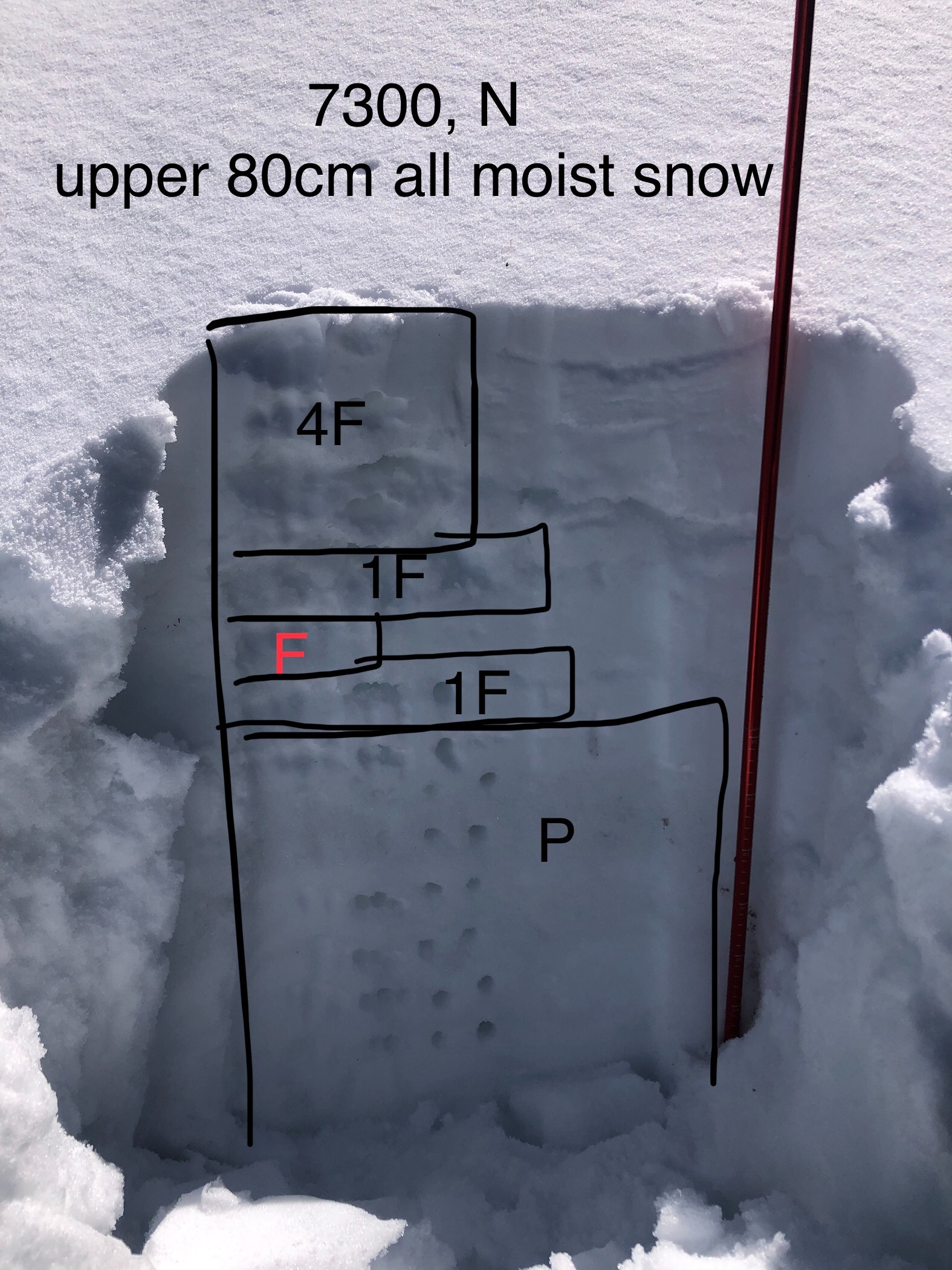
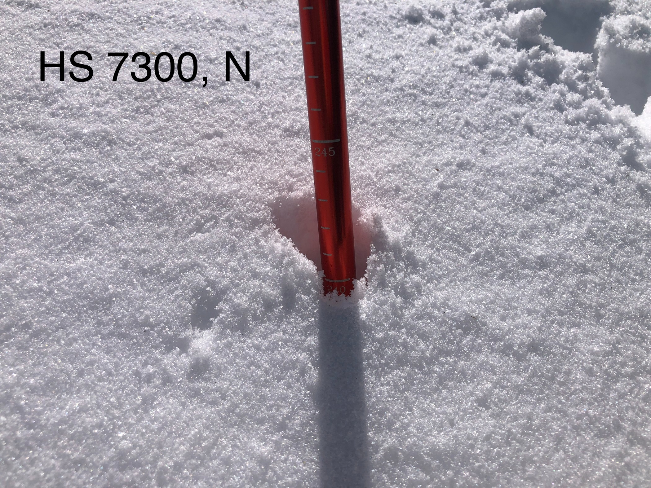
Wind affect was obvious as I gained elevation. Winds increased substantially as I increased in elevation, and I began to notice cracking near 8000'. I dug on a NW aspect and found a moist upper 80 cm of snowpack with multiple crusts throughout. I was looking for wind related results in a CT, and instead got CTV failing on F snow (graupel) between two thick crusts at 50 cm and 45 cm. Incoming weather prevented me from having time to perform an ECT.
I did not venture into the alpine today.
Both cracking and collpasing were felt and observed underfoot. The collapsing was felt on widespread crust layers beneath the new snow in BTL and NTL terrain. The cracking was observed in wind affected NTL terrain. I did not venture into the alpine today.Weather
- Cloud Cover
- broken
- Wind Loading
- moderate
- Rain Elevation
- 7000
- Recent Snowfall
- 10 cm
- Snow Avail For Transport
- moderate amounts
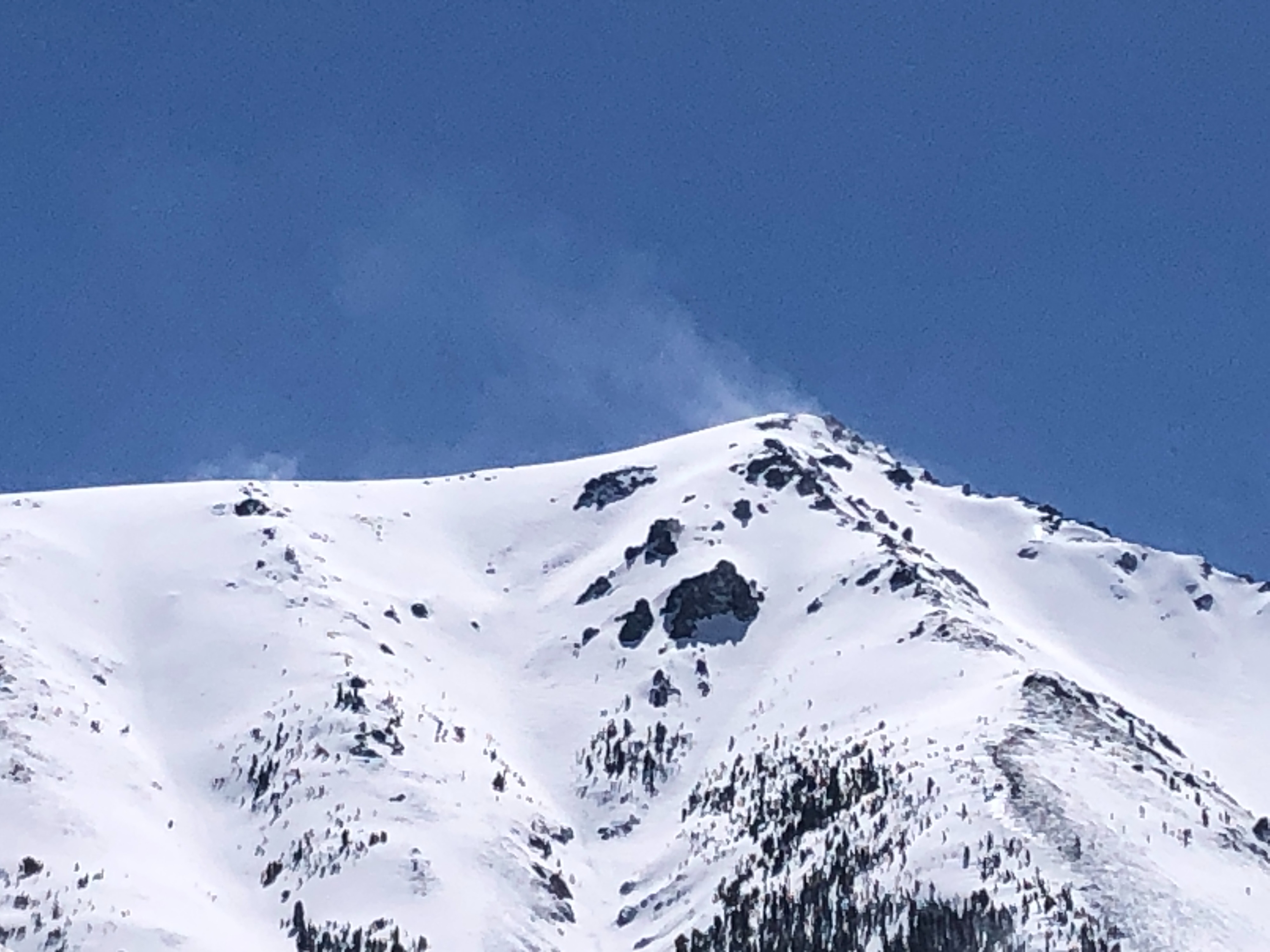
Blue skies overhead at noon. The incoming storm brought increasing cloud cover, WSW winds, and light snowfall as the day progressed. By 16:30 there was low visibility, moderate winds with strong gusts from the WSW, low visibility and light precipitation at the trail head.
Avalanche
- Size
- D2
- Type
- SS
- Aspect
- NE
- Elevation
- 8000 ft
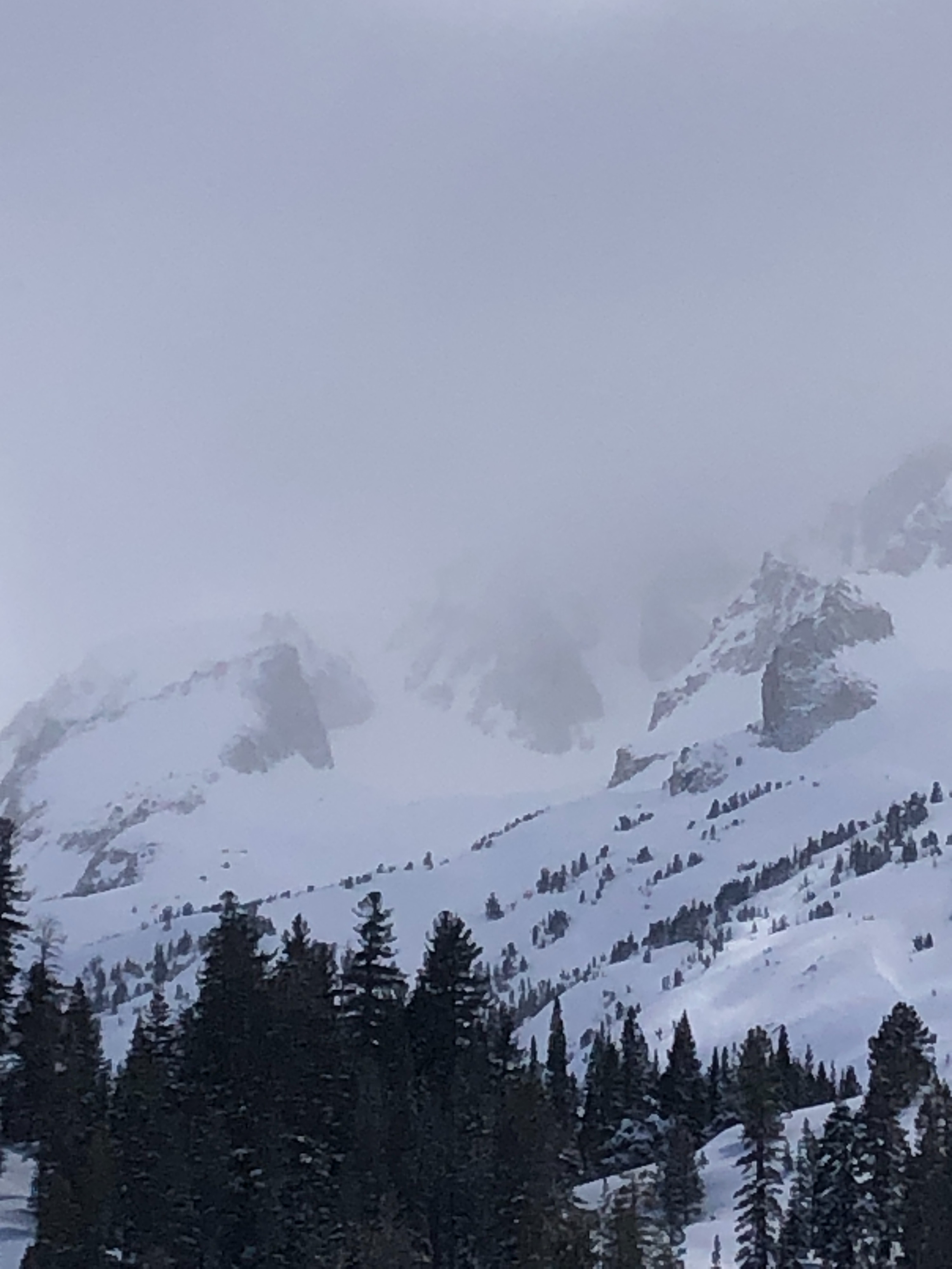
soft slab avalanche viewed from a distance, many unknowns