
Quick report
- Cracking
- specific
- Collapsing
- specific
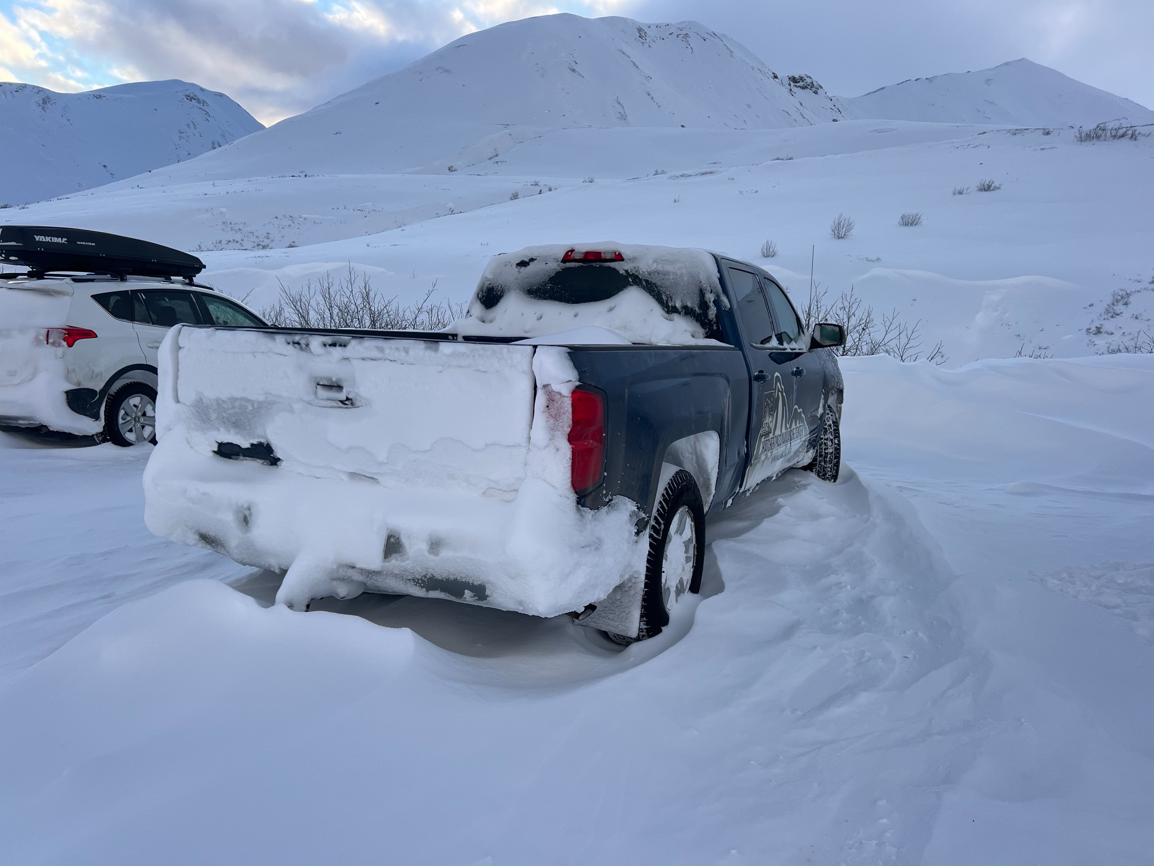
There is a drastically improved amount of coverage in Hatcher Pass. This was the first day of the 25/26 season, when we were able to ride slopes without feeling the ground below. The legacy of the December drought still remains, and we continue to lack feedback on how new storm snow is strengthening, settling over such weak structure at the bottom of our snowpack. Long story short, the incremental loading has not been enough to trigger larger, natural persistent avalanches and people have not been stepping into larger, open terrain to test this setup.
The real test will be the upcoming storm. As Zach pointed out at our January State of the Snowpack at Blue & Gold, rapid loading and lots of SWE will likely cause a widespread avalanche cycle. On the flipside, if we do not have high snow totals or rain, it will likely stay on the menu, even if it remains stubborn to trigger.
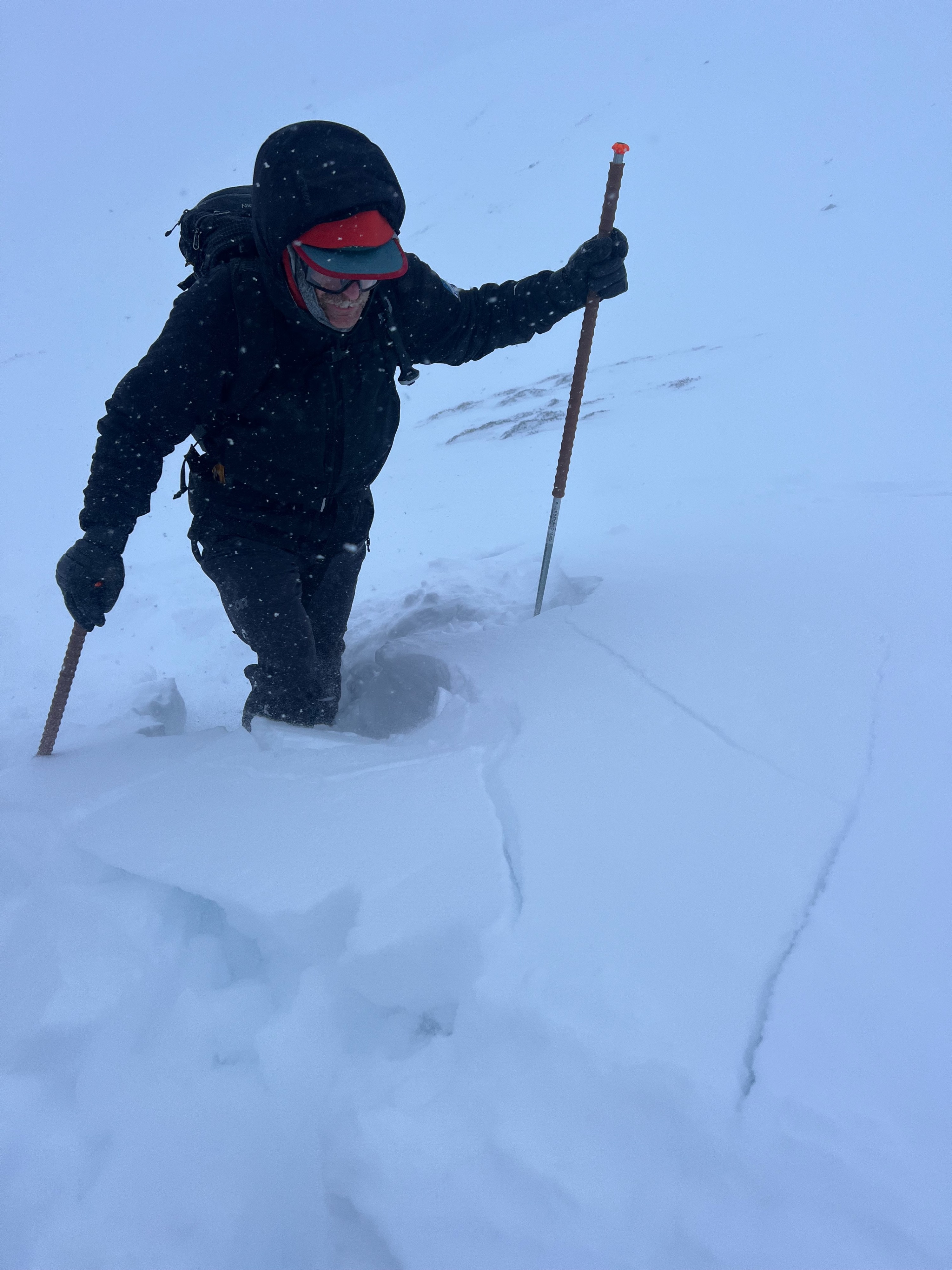
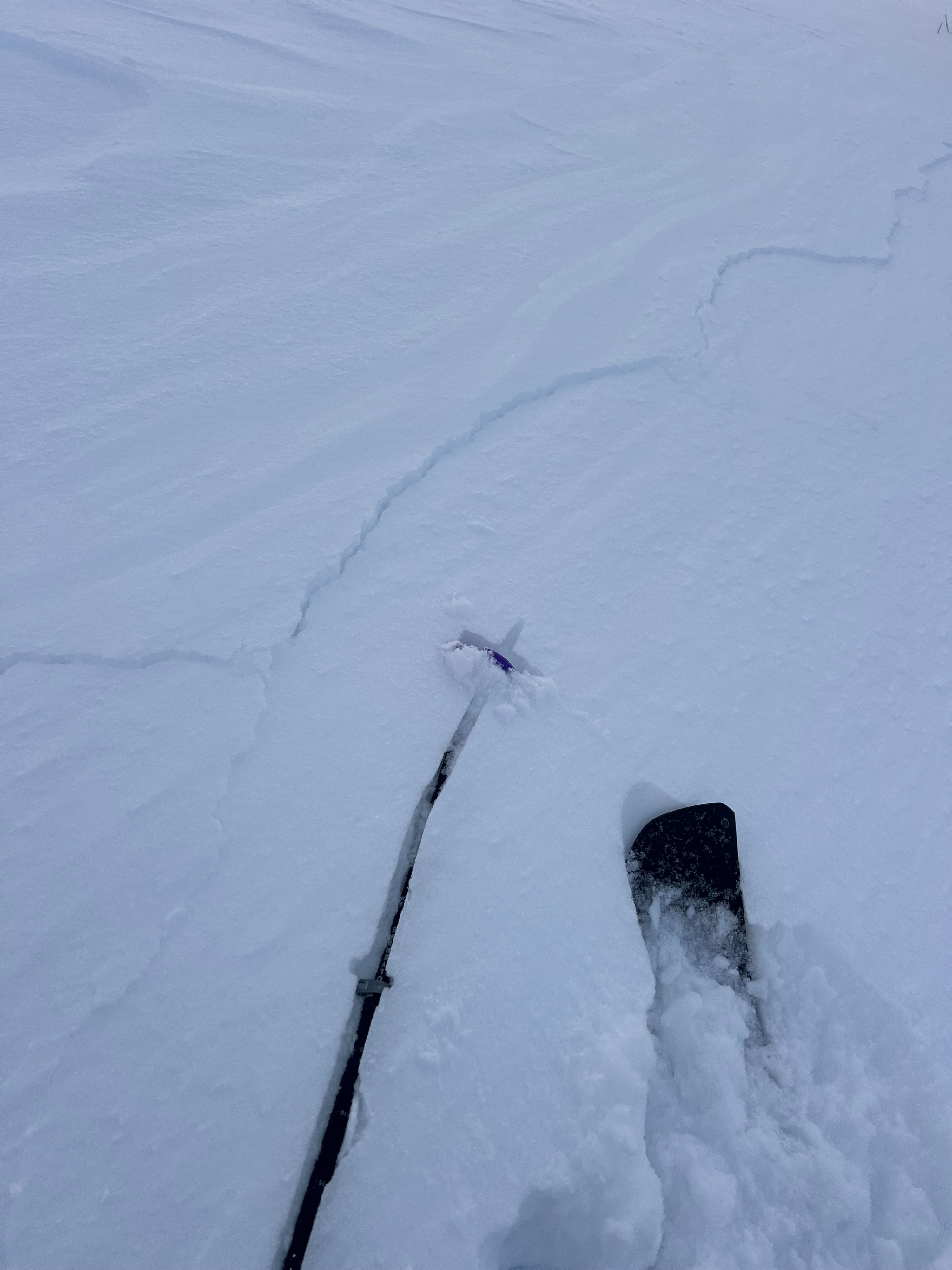
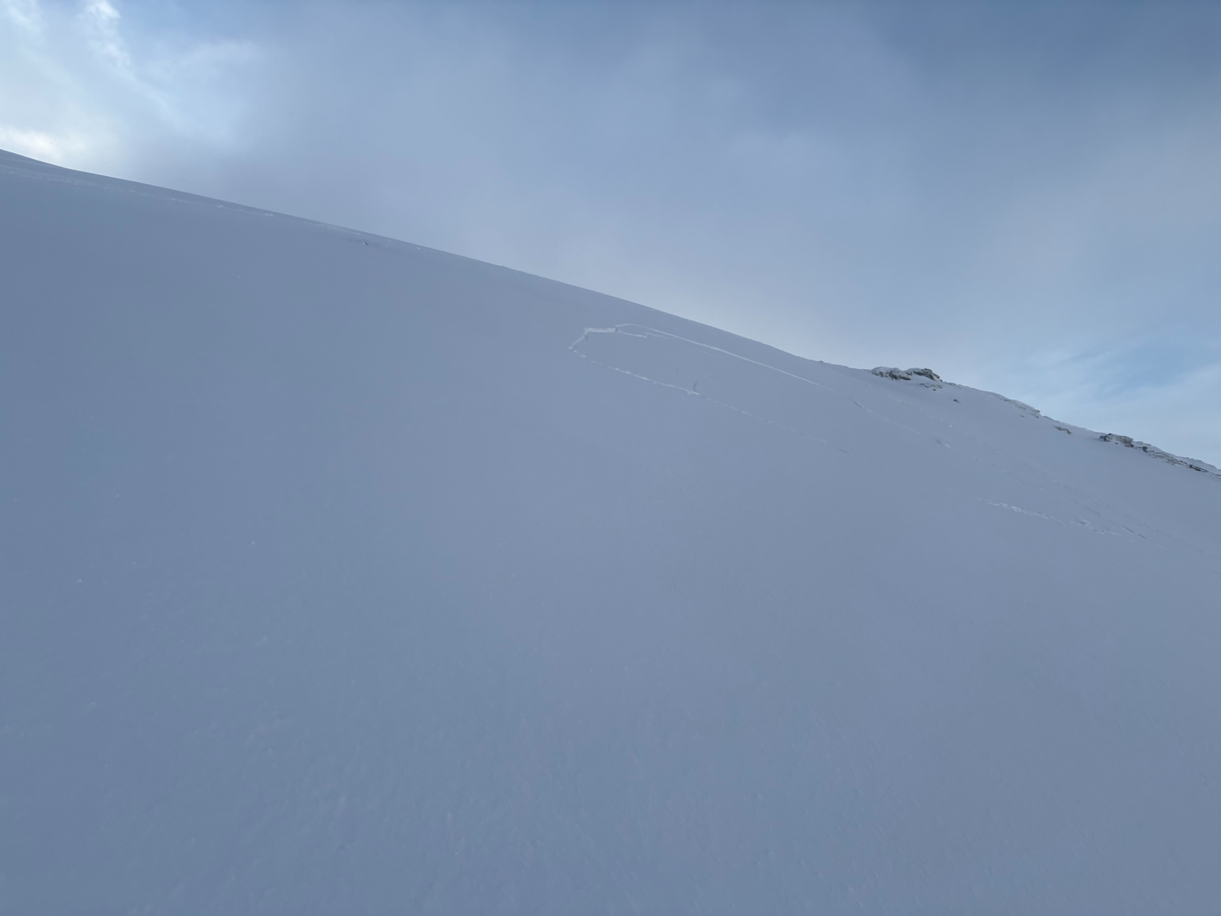
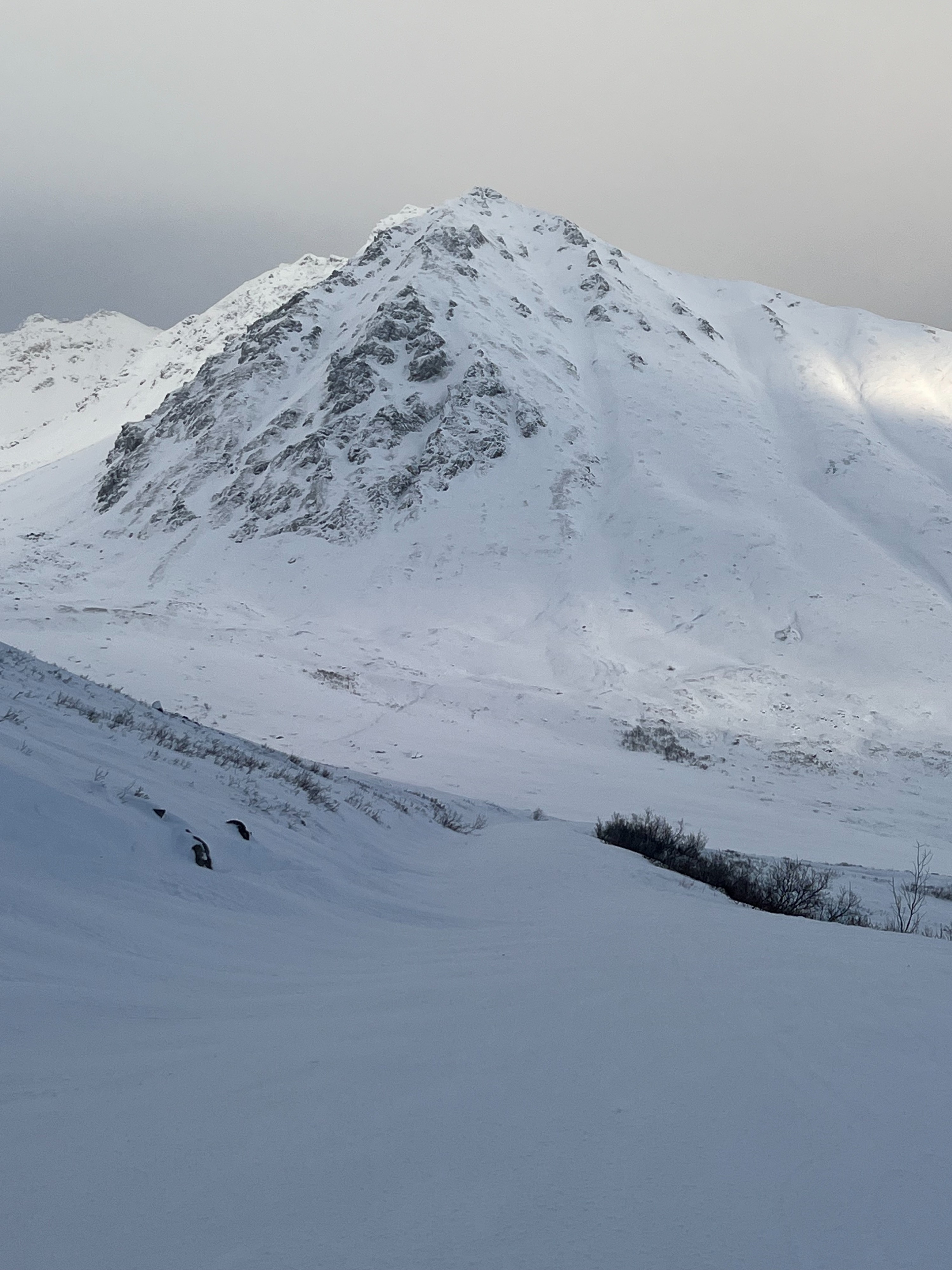
Instabilities were observed in specific, wind-loaded terrain where strong gusting extreme winds were creating fresh soft slabs. We were able to get a few shooting cracks up to 30' and on our descent, one crack propagated mid-slope (see photo). These red flags were signs that new slabs were sensitive to trigger and that in steeper terrain today at upper elevations, it would have been easy to trigger an avalanche. We observed several small, natural D1 soft slab avalanches as well as a few gullies with old debris on multiple aspects. On the outtrack, we saw one small (D1), possibly human triggered avalanche from last week in Hatch Creek on a N aspect (see Hatch Creek observation from last week).Weather
- Air Temp
- 15
- Cloud Cover
- overcast
- Wind Loading
- intense
- Rain Elevation
- N/O
- Recent Snowfall
- 15
- Snow Avail For Transport
- moderate amounts
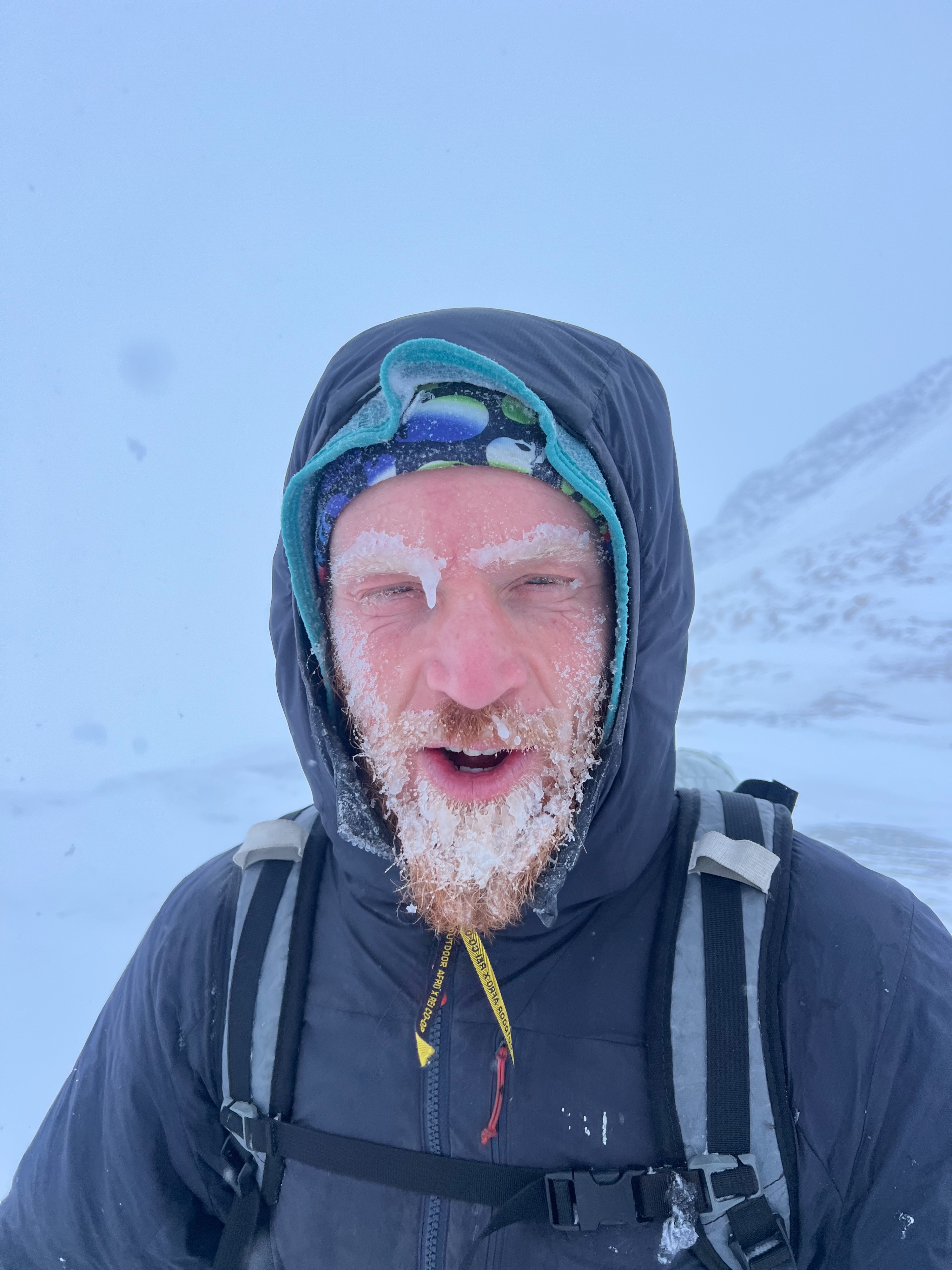
New snow from the last burst was around 6". Gusts were intense: strong enough to get blown to the ground. Multiple ski poles blew away, and a ski in the air with no hand would have blown down slope. By 1330, we experienced a break in the winds and visibility improved. Temperatures were in the low teens with a colder wind chill.
Snowpack
There was about 6" of new storm snow on the ground in the Pass at mid elevations on top of last weekend's storm snow. Up high, drifted snow was more than waist-deep. It was easy to get slabbier four finger hard slabs to fail within new snow or where storm snow met the 1/5-1/6 storm snow. At Hatcher Pass proper, we saw extreme winds blowing snow and scouring ridgeline terrain.
At lower elevations, the non-wind-affected snowpack felt slabbier and more upside-down. However, we did not see signs of instability outside of this structure in these zones.