
Quick report
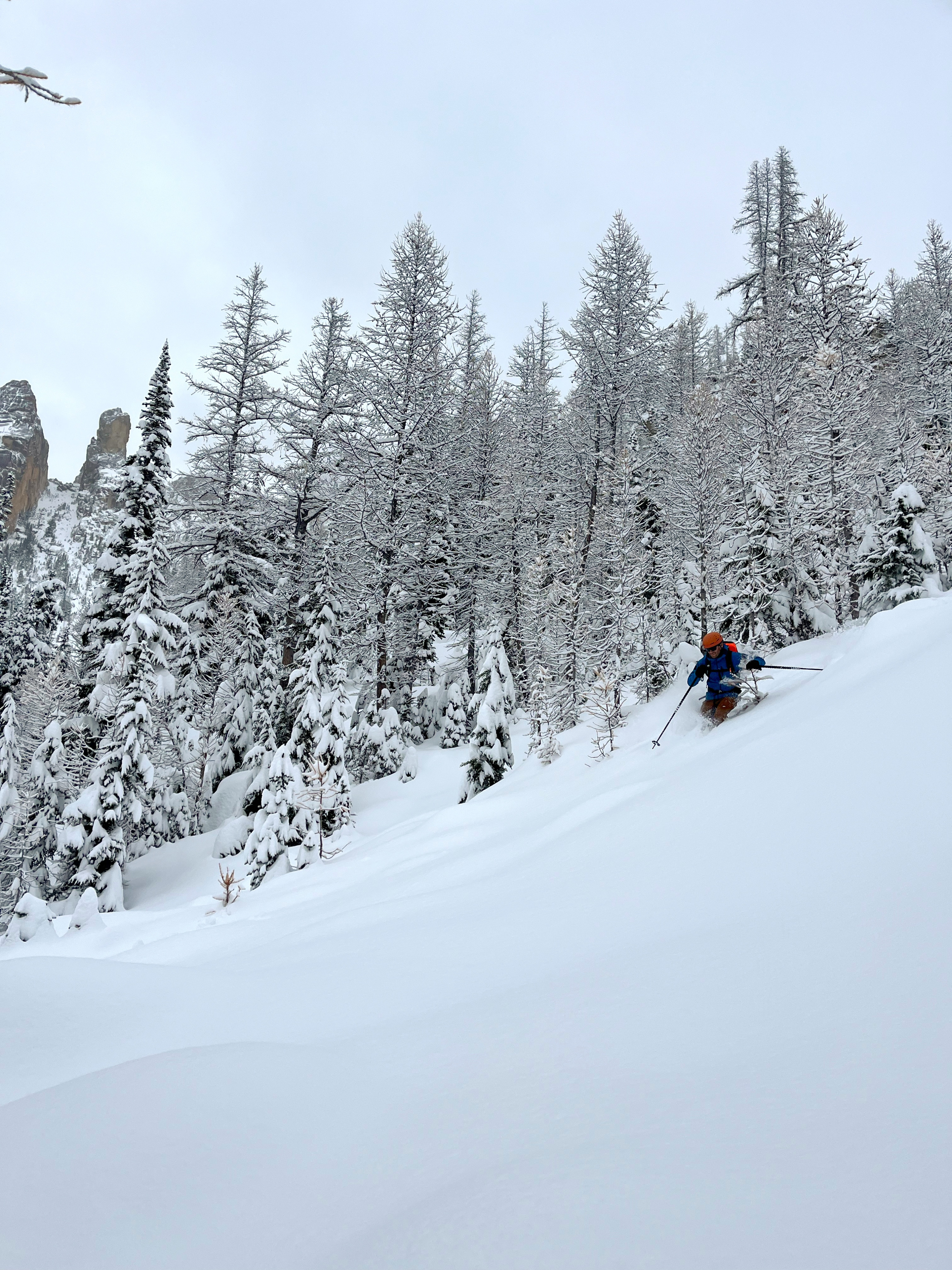
Shallow, early season snowpack. biggest hazards were hitting rock, stumps, and logs. Snowpack layers were well-bonded and slighlty moist. No signs of instability
Weather
- Cloud Cover
- overcast
- Recent Snowfall
- 13
- Snow Avail For Transport
- moderate amounts
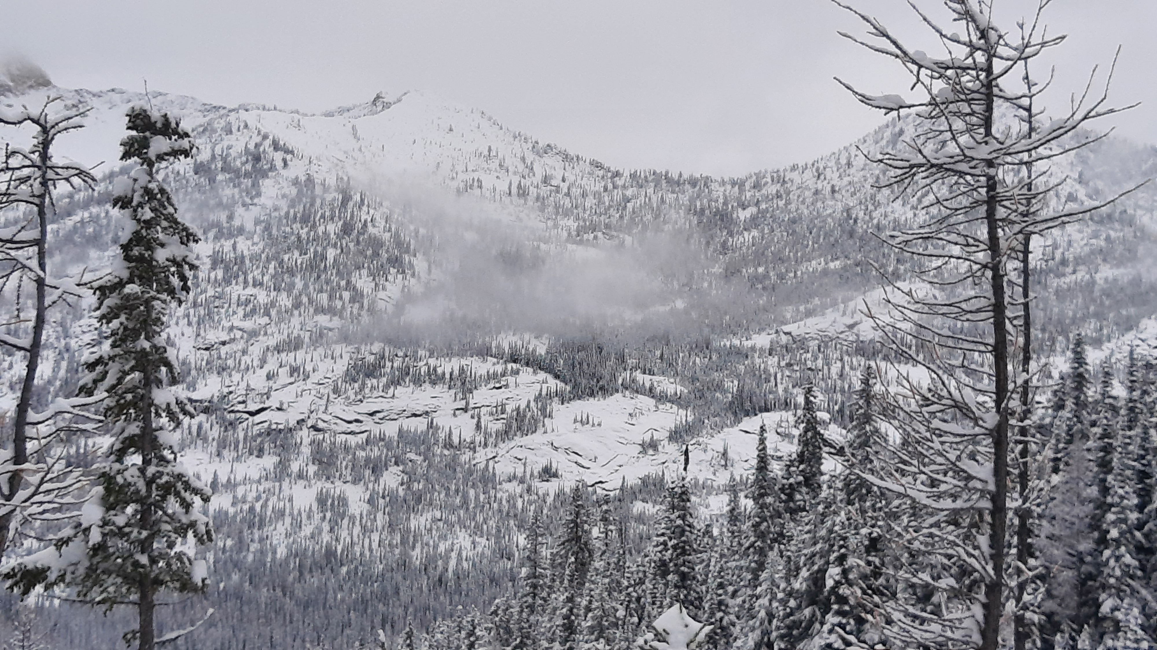
Skies were obsured in AM, becoming overcast to broken by 2:30p. Temperatures remained below freezing, but just barely. Snowfall was moderate in the morning and tapered through the day with light snow (S-1) at 11:30a and stopping by 1p. Air temps and weak, filtered sun made snow surfaces slightly moist up to 6,000ft.
Snowpack
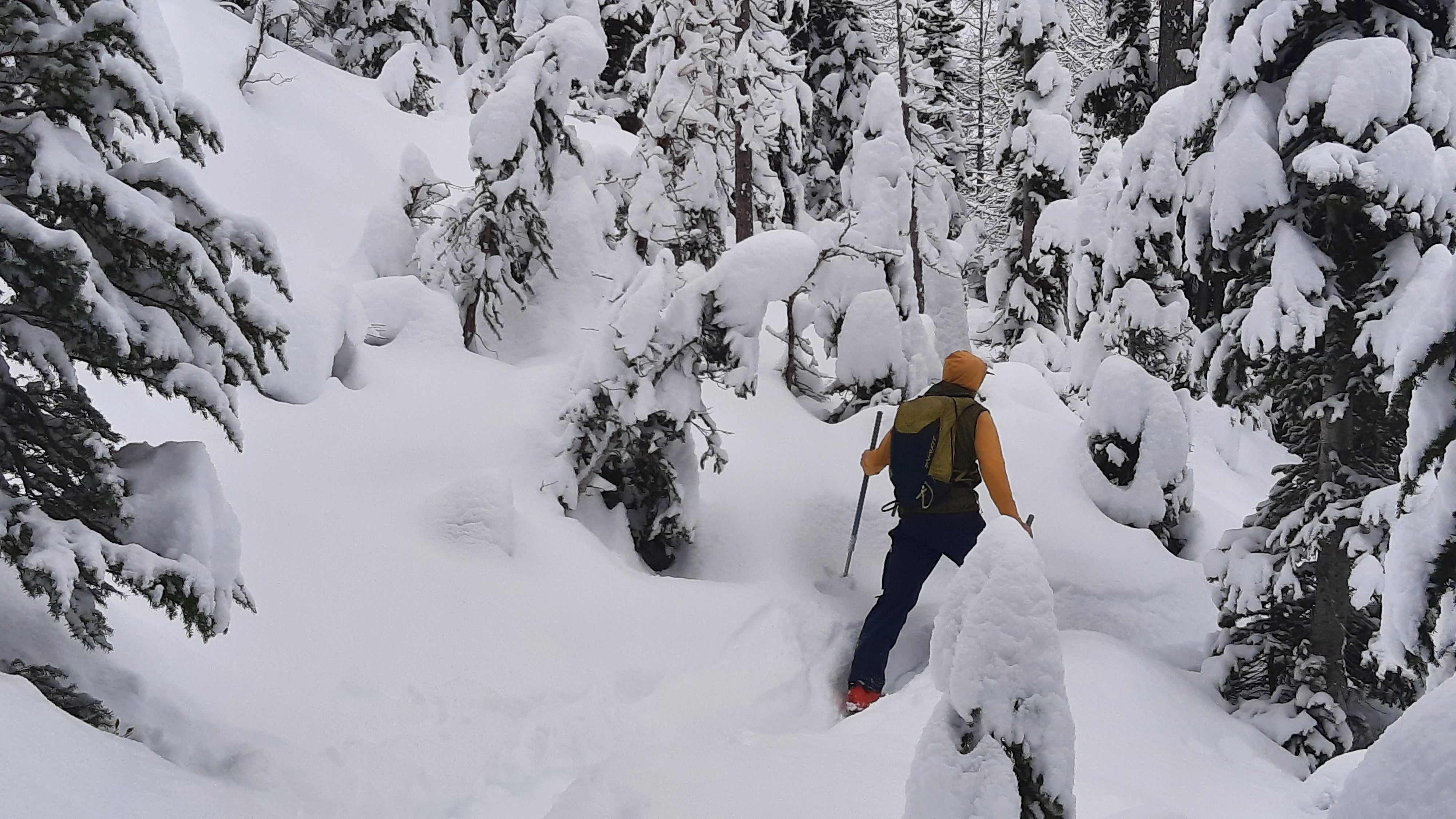
Snow coverage began around 3,400ft. The height of snow increased with elevation. New snow averaged 13cm. Below 6,000ft, most of the snowpack was at least slightly moist, with the lower half to third being partially frozen melt-forms. Layers werre well-bonded, getting progressively harder below the surface.
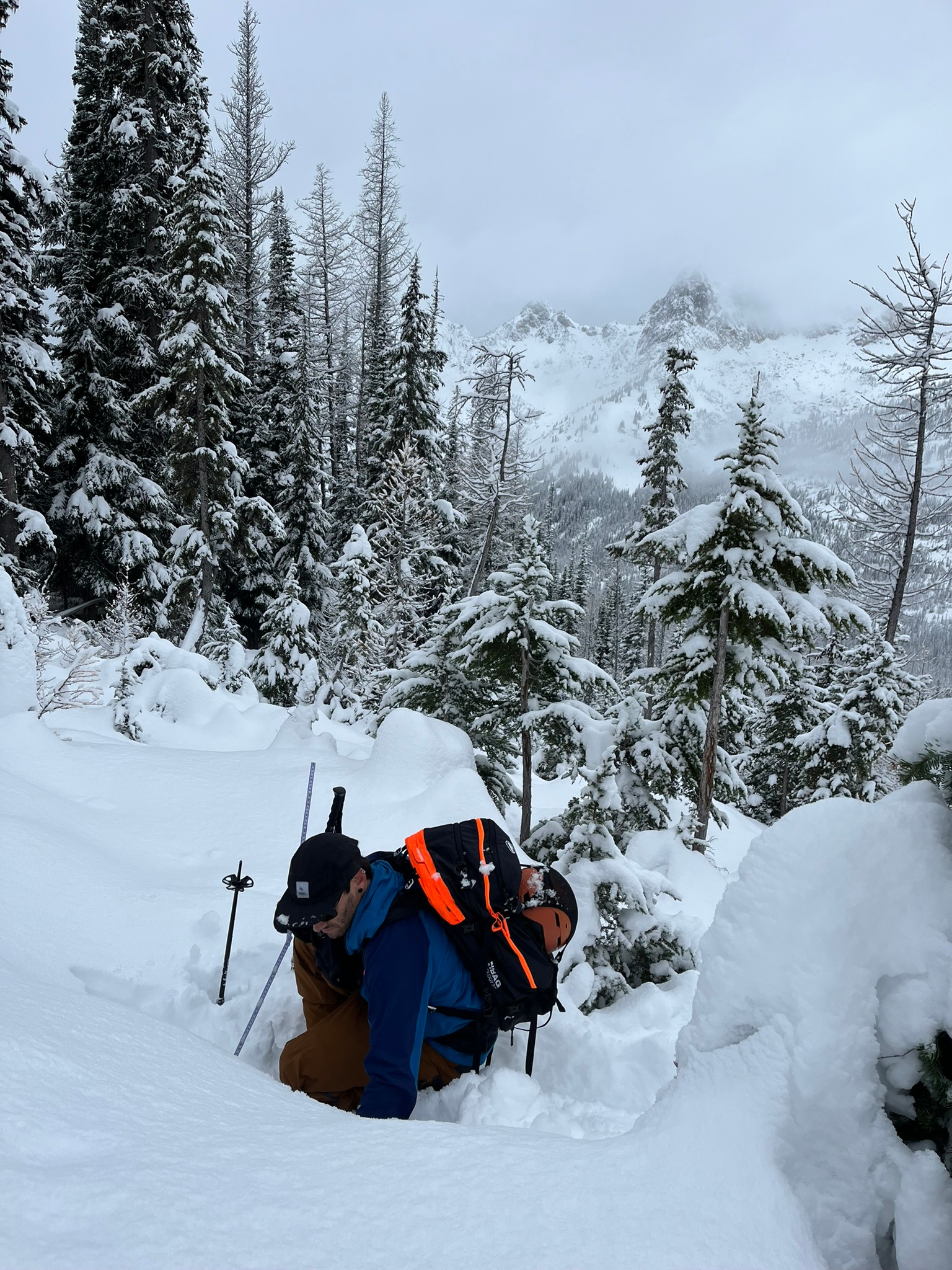
Coverage is still shallow even at middle elevations. We found much shallower coverage in the forest, where we kept our downhill travel to slowly sliding on the summer trail/luge track. The following observations were made in open areas, away from tree canopy.
Blue Lake trailhead, 5,400ft: Height of snow (HS) 45cm
NW, 5,700ft: HS 65cm
NW, 6200ft: HS 74cm.
↓13cm: new snow in past 24hrs
↓30cm: moderate, rough hand shears on a recent storm interface of moist decomposed particles (DF).
↓50cm: moist melt forms
NW, 6,440ft: HS 80cm
80-67cm F hard, new snow, moderate shovel tilt ↓13cm.
67-50cm 4F hard, recent snow,
33-0cm 4F+ hard semi-frozen, moist melt-forms.