
Quick report
No cracking or collapsing observed. See the avalanche section for more information above recent avalanches.
Weather
- Air Temp
- Est. Single Digits F
- Cloud Cover
- broken
- Wind Loading
- moderate
- Rain Elevation
- All precip fell as snow in terrain traveled
- Recent Snowfall
- 50-60
- Snow Avail For Transport
- moderate amounts
Leaving the truck at 11:00, clouds were broken (BKN), high, and thin, with a lot of blue sky and sun showing through them. There were some low hanging pockets of thin clouds sitting just above valley floors. The sun / cloud combo made for a greenhouse-type effect down low as soon as I got onto snow, with temperatures feeling like they dropped significantly as I gained just 400' of elevation. Winds were calm to light out of the SSE up until 7880', where they became moderate. High clouds moved in and out throughout the tour with a general clearing trend until I made my final descent at 13:30. This trend provided good visibility and variably decent lighting for spotting slides at times to different parts of the surrounding terrain. Cloud cover began to build again at 14:00 in terrain immediately around Durrance. On a sheltered NNE slope at 9460', I found 50-60cm of new snow (HN). Winds shifted to out of the W in the early afternoon.
Snowpack
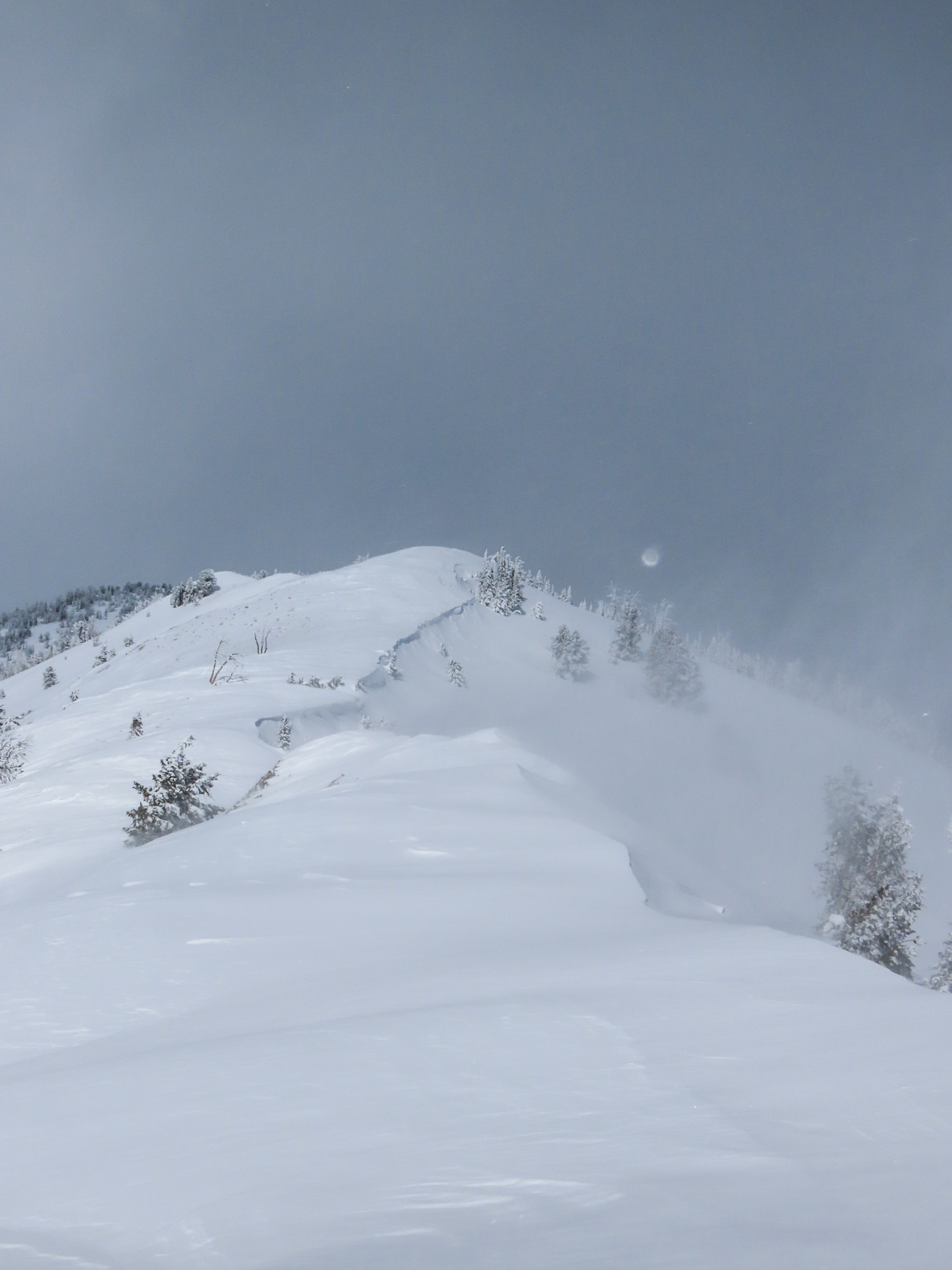
Beginning my tour at 11:00, the skintrack that was set across the flats the afternoon prior had completely filled in with wind blown snow. Climbing up the SE ridge, there was 50cm of new snow settling on top of weak, thin old surfaces below 6900'. Surfaces were moistening quickly below this elevation due to the low hanging clouds / greenhouse effect, with the top 50cm of snow consolidating to start to form at F+ to 4F- slab over the mostly faceting snow that lived on top of vegetation below. Above 7200' on the ridgeline, surfaces showed the wind at work both from the W and SE, with mostly DF's in more protected loaded areas and a thin (1-2cm) wind board in more exposed terrain. Wind transport was moderate to intense above 7500', and past transport effect was visible on both sides of the ridgeline all the way to Amber Gulch.
On a NNE slope off ridgeline at 9460' near Amber Gulch, I found a 60cm soft slab F+ overlying a series of weak snow surfaces below (2/24, 2/1 were most prominent). This slab produced sudden collapses and provided propagation with moderate to hard force on the new / old snow interface (CT15 SC, ECTP 17 & 20).
Avalanche
- Size
- D2
- Count
- 4
- Aspect
- SE
- Trigger
- AS
- Elevation
- 9200 ft
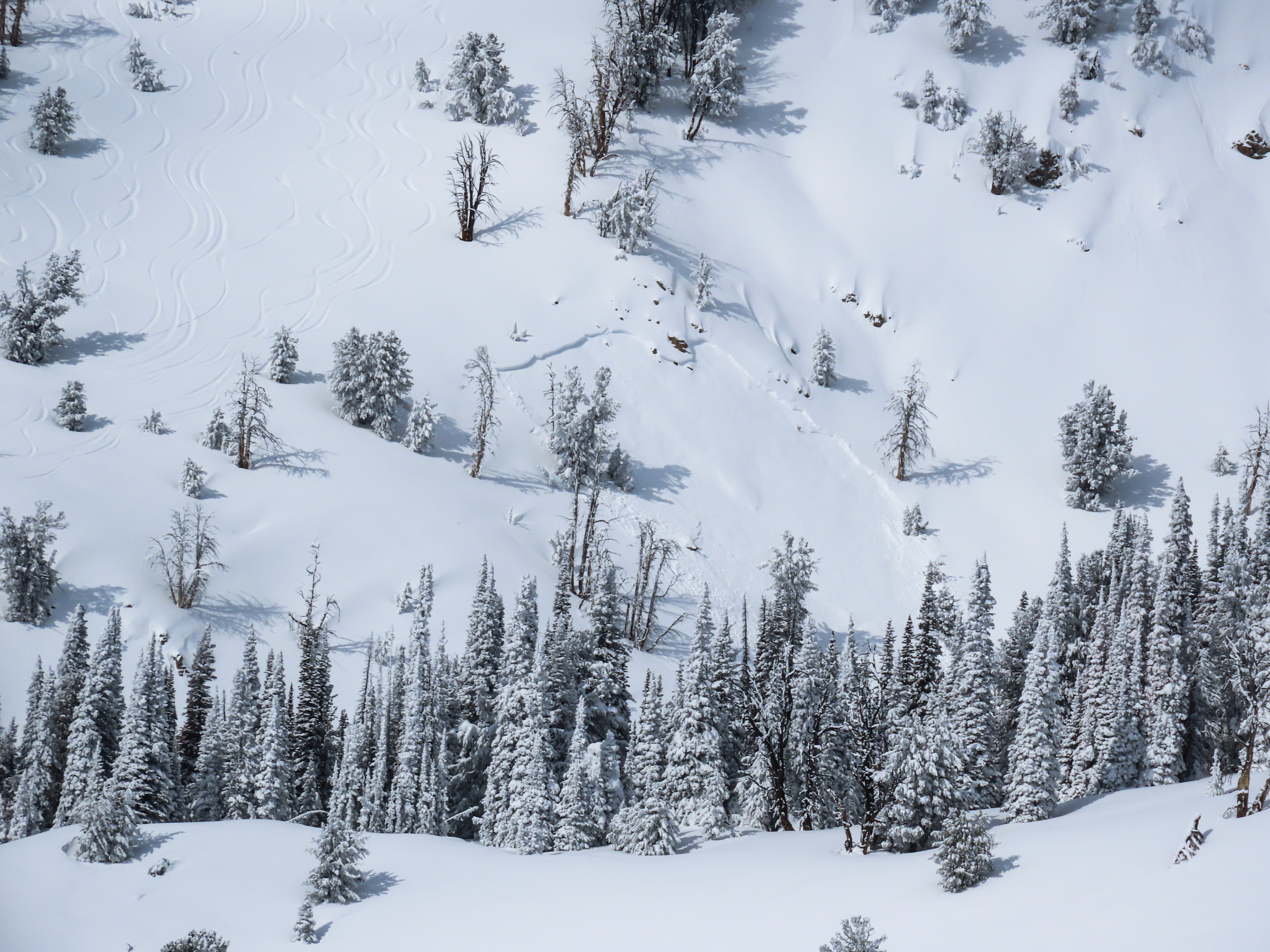
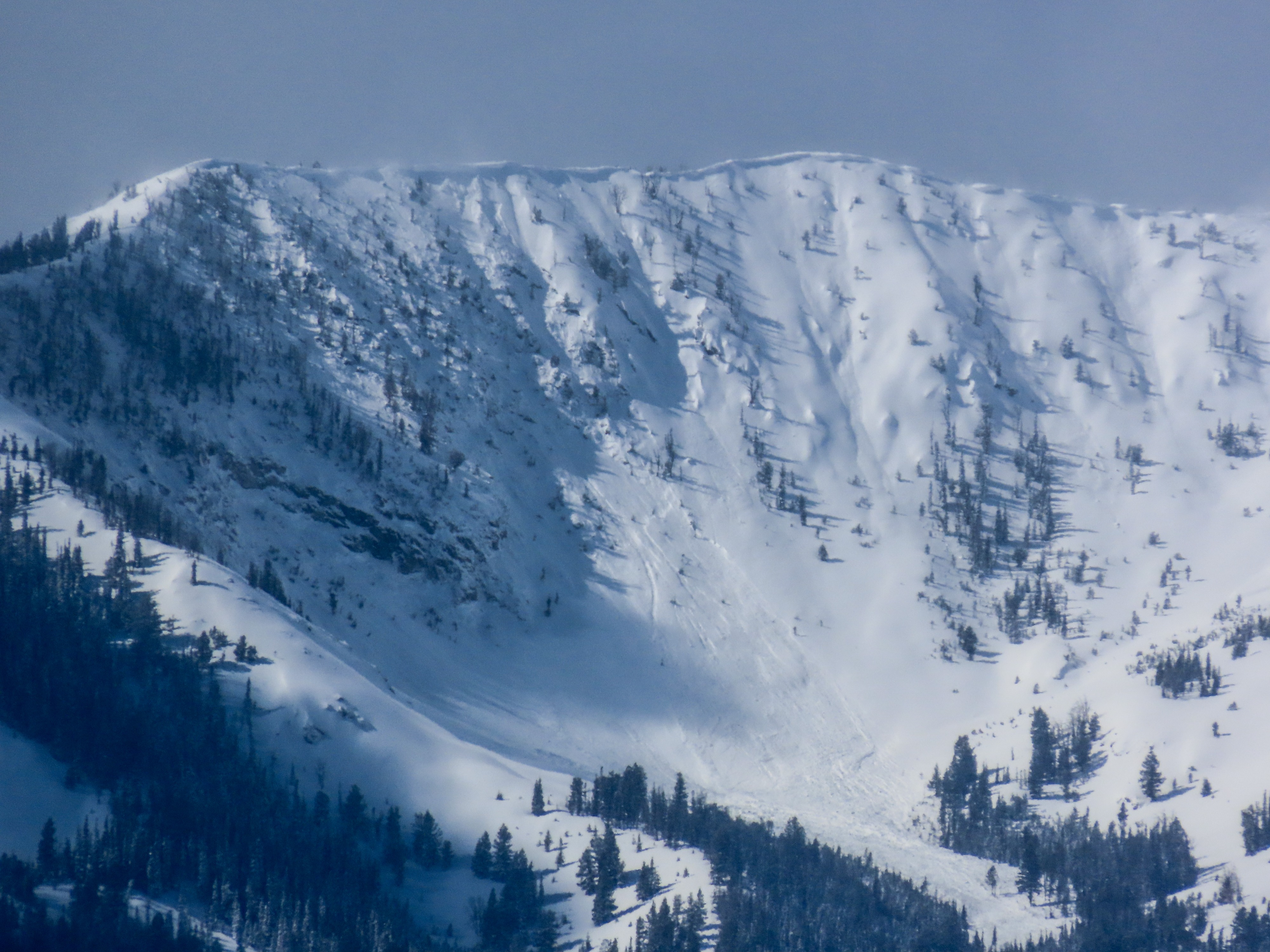
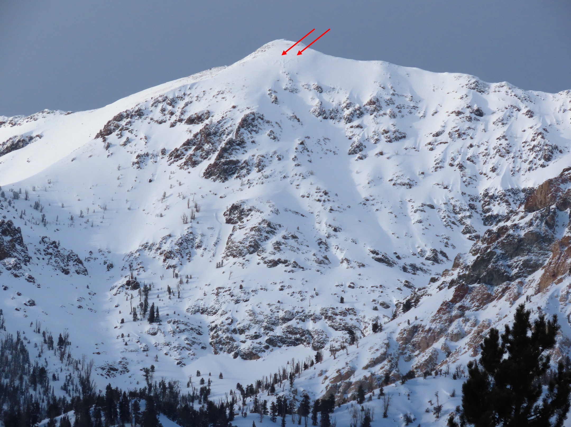
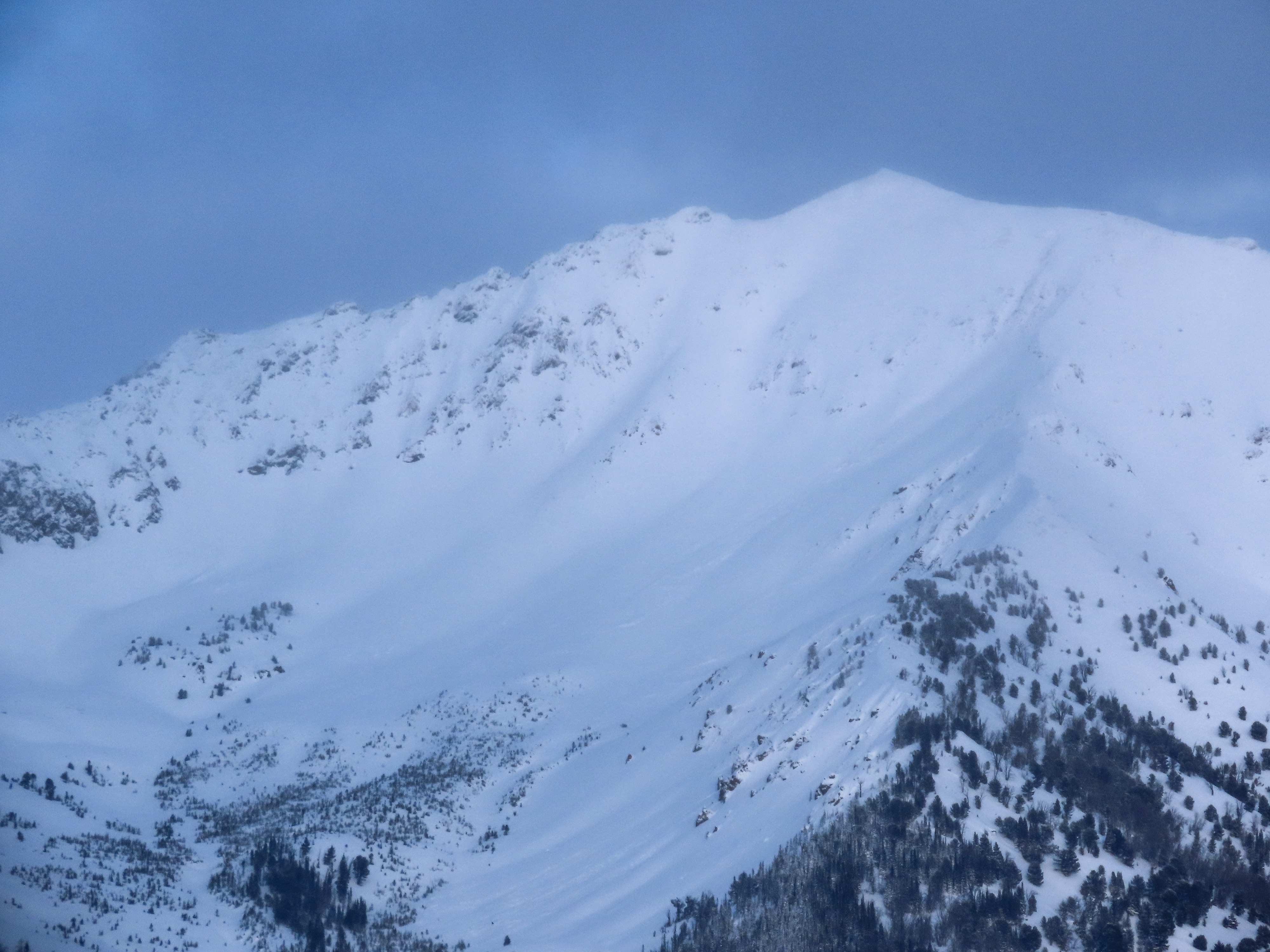
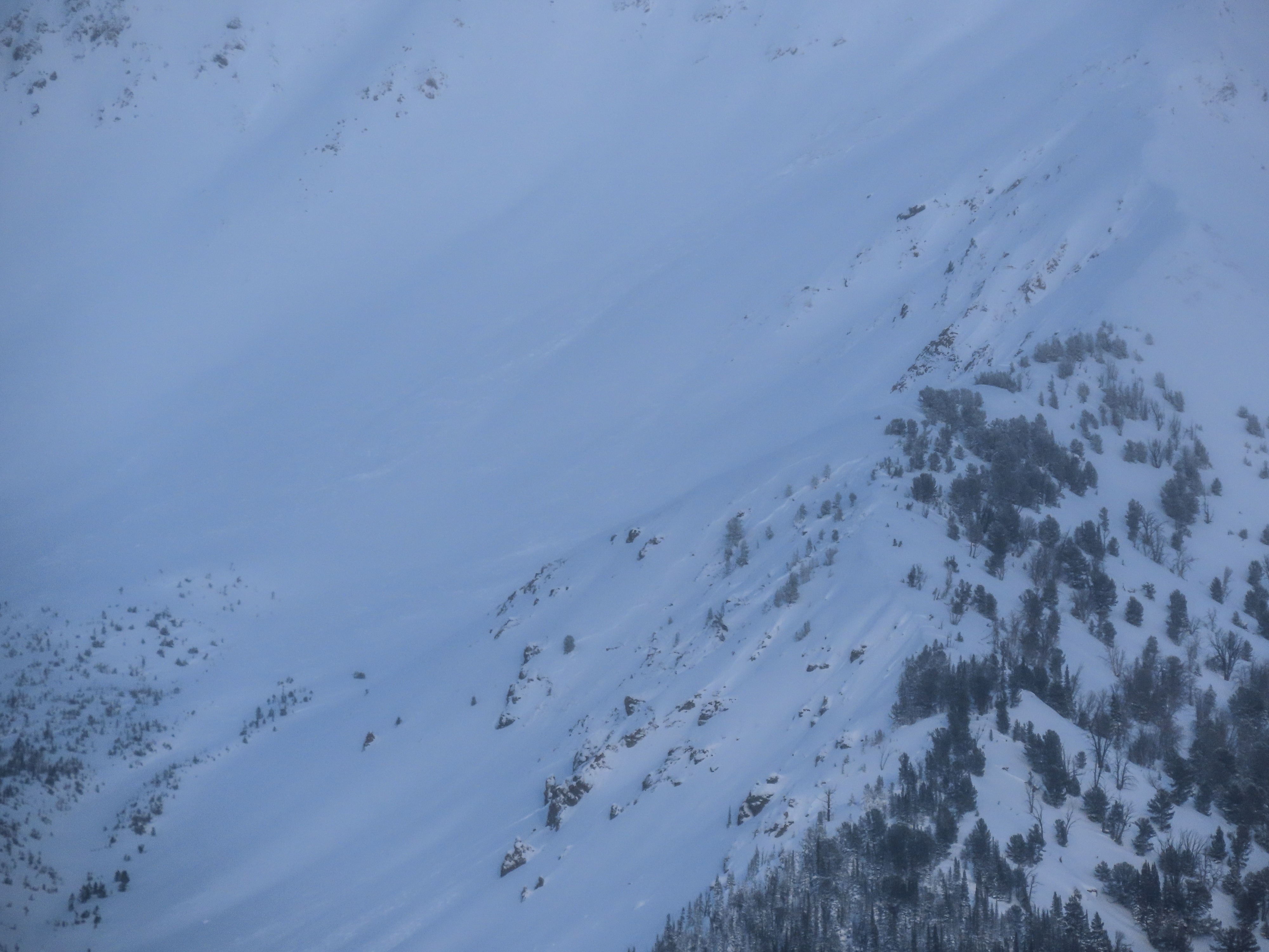
My vantage on the ridgeline and breaks in visibilty via cloud cover / lighting allowed me to spot several D2 persistent slab avalanches that likely ran between 3/1-3/3. One of these was a slide SVHS reported remote triggering on 3/3 in Konrad Creek.