
Quick report
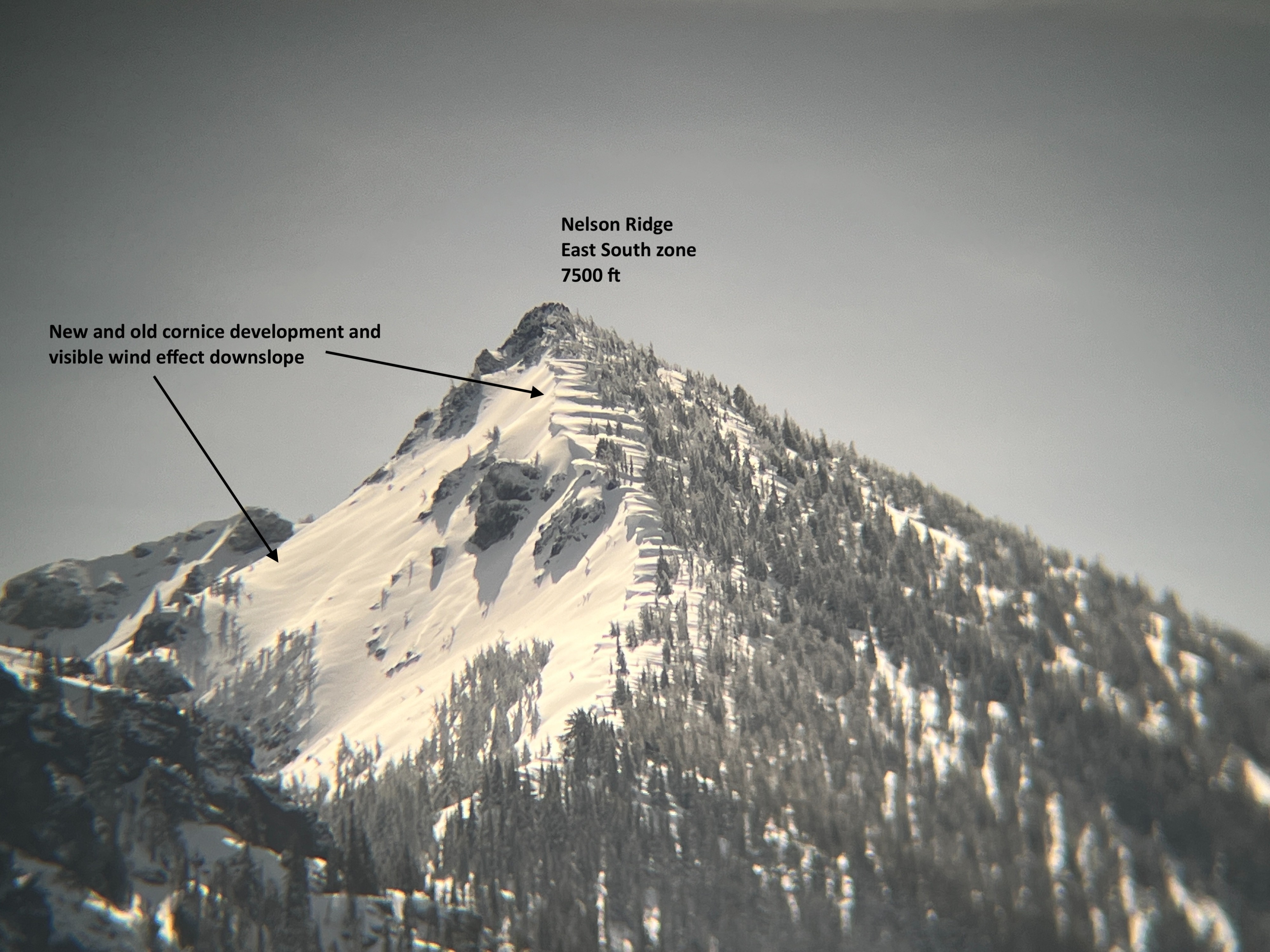
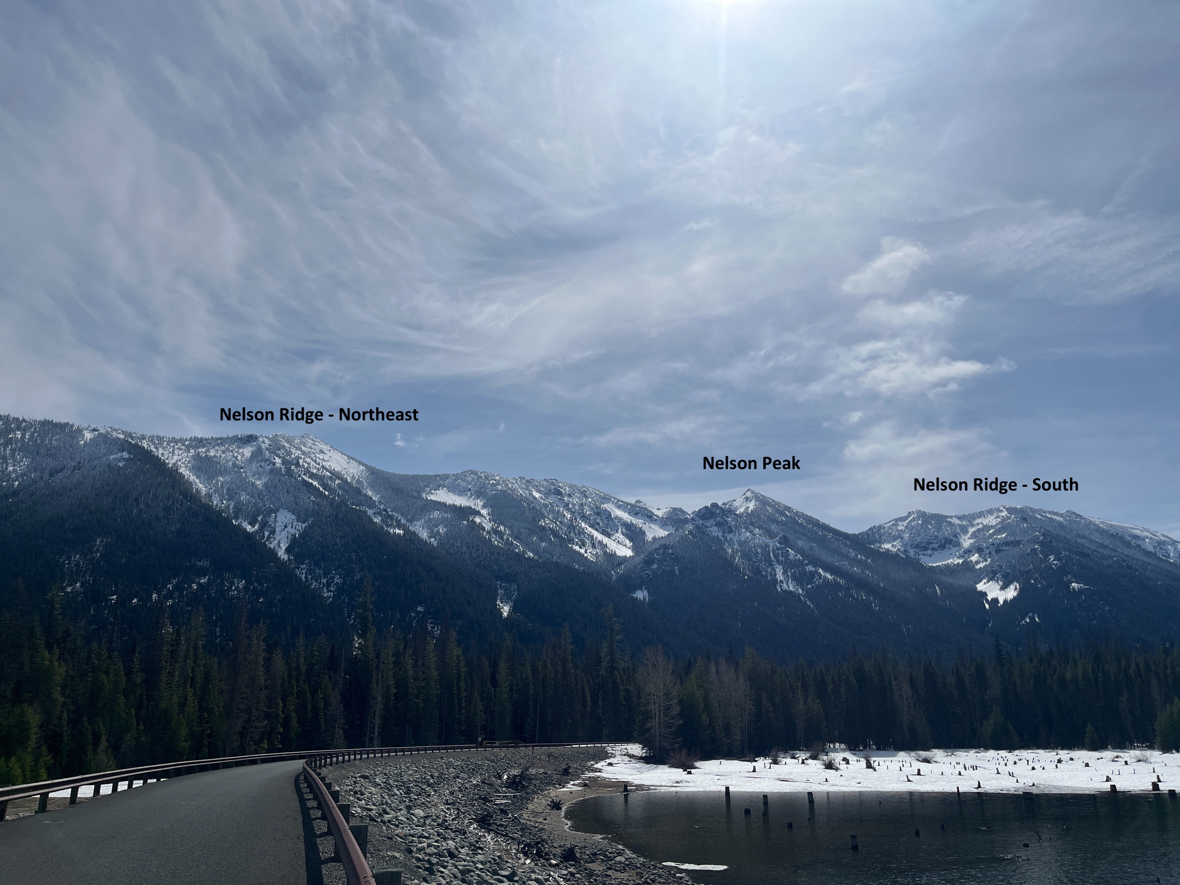
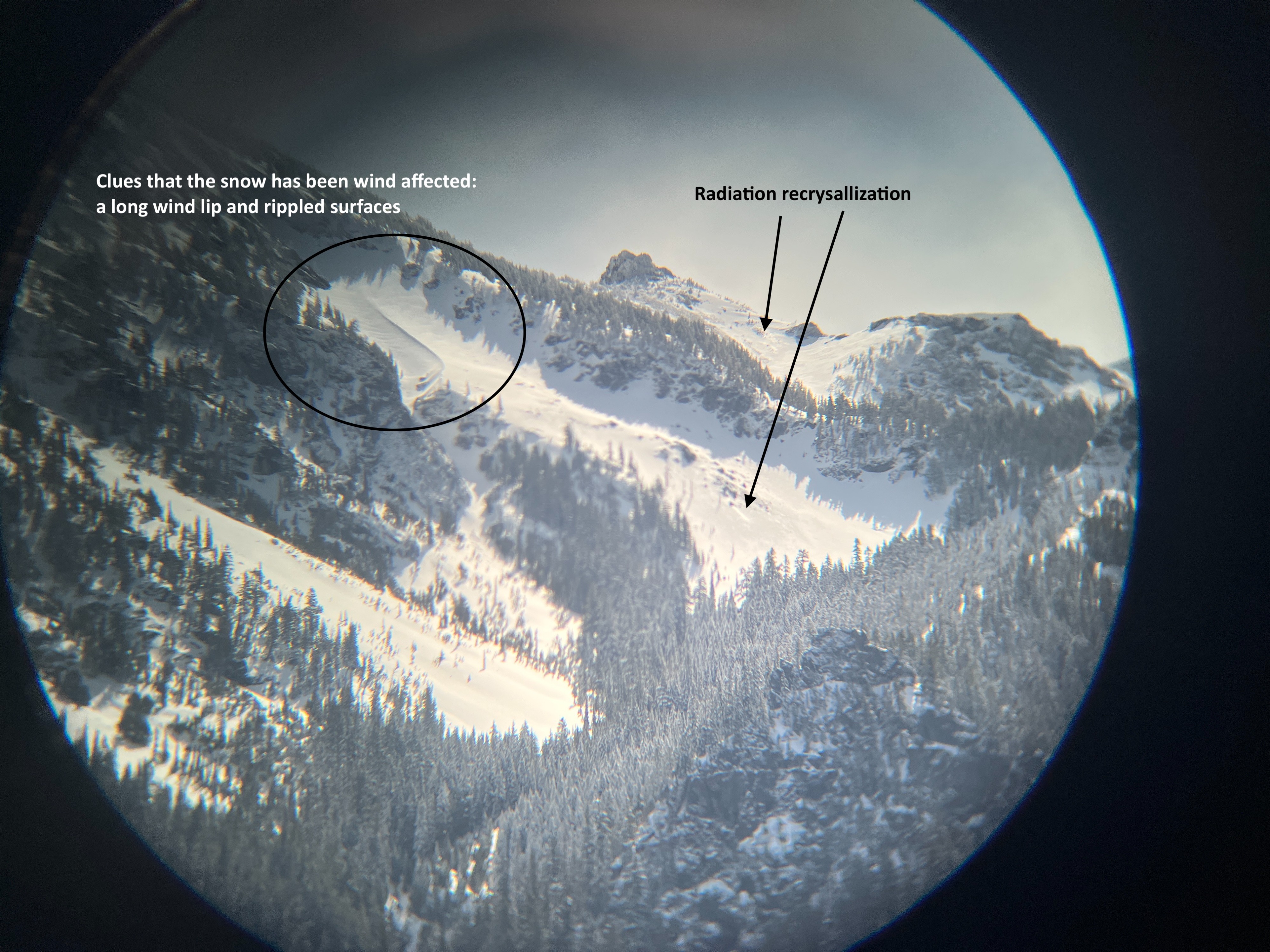
A road tour to glass a large amount of terrain was in store today. There is winter up high, and spring down low from what I could gather. The snowpack had been heavily wind affected by recent storms and was also warming due to sunnier and warmer weather today.
Weather
- Cloud Cover
- few
- Wind Loading
- previous
The truck read 33F degrees at the summit of White Pass at 0930. The rest of the day was mostly spent at lower elevations and the truck read temperatures in the 40s. Where I turned around on Chinook Pass was low 40s. The sky was generally filtered sunshine with some clear pockets here and there. I never experienced wind while out of the truck. I didn't see any active wind transport along ridgelines at any point.
Snowpack
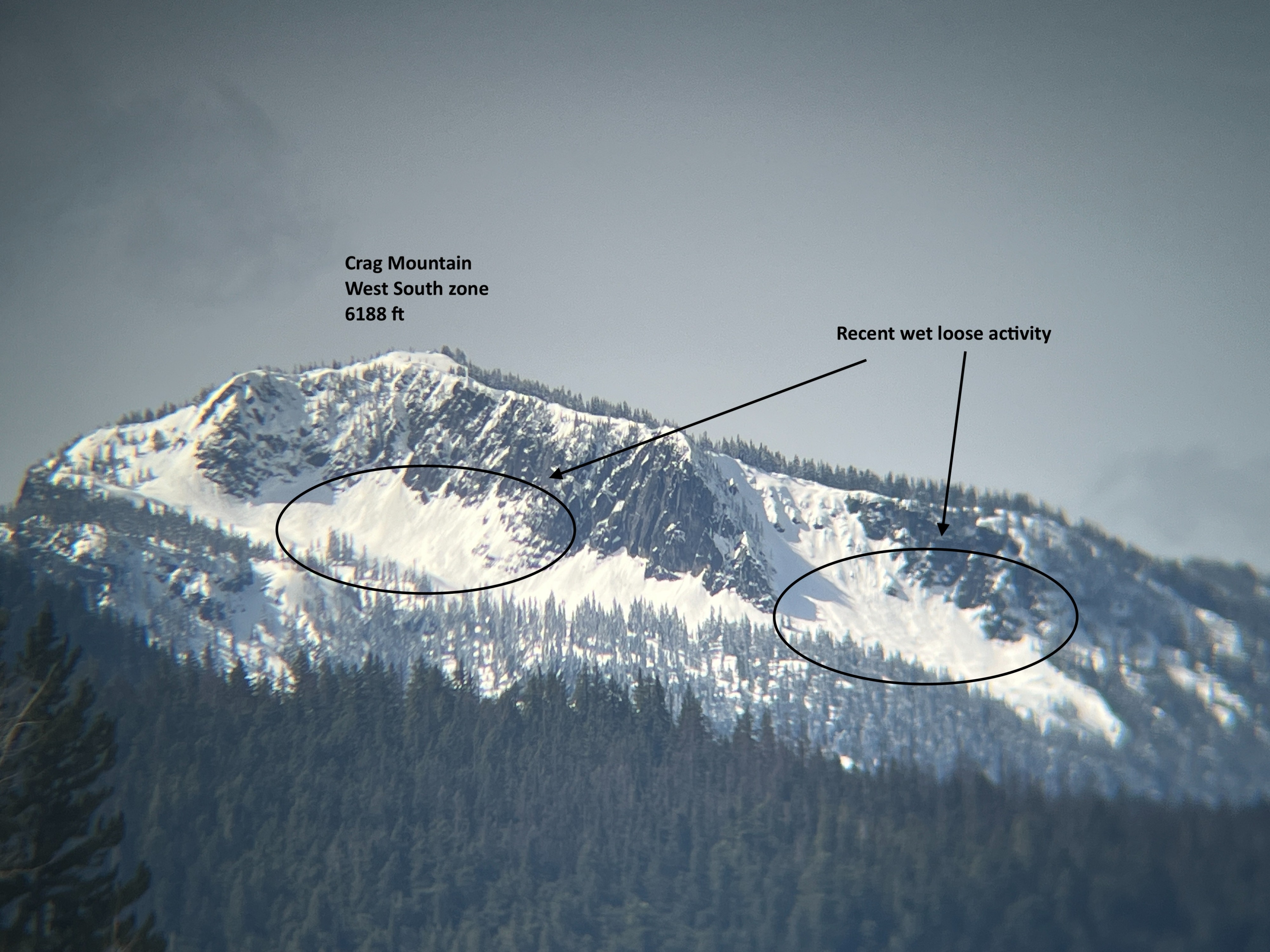
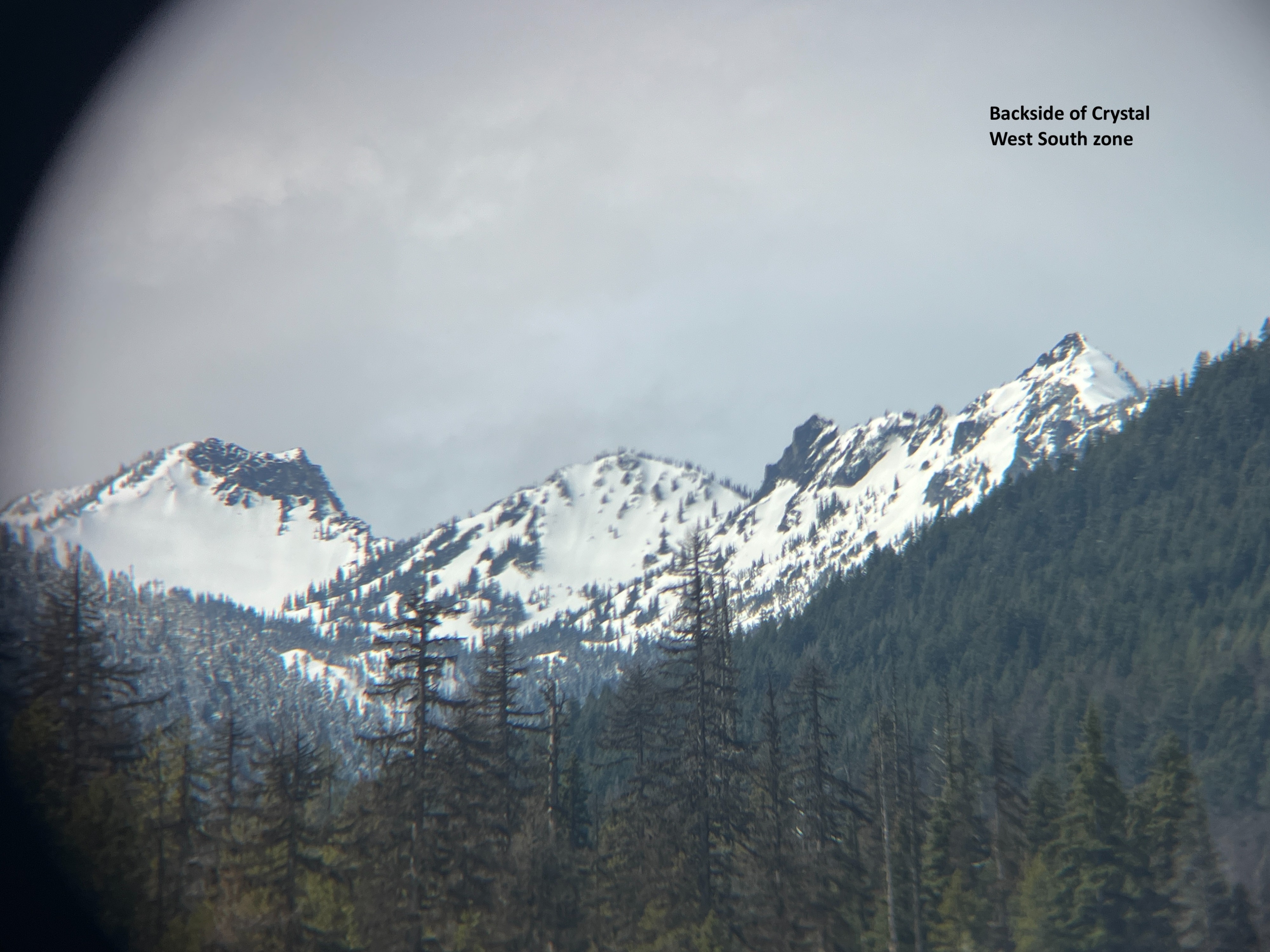
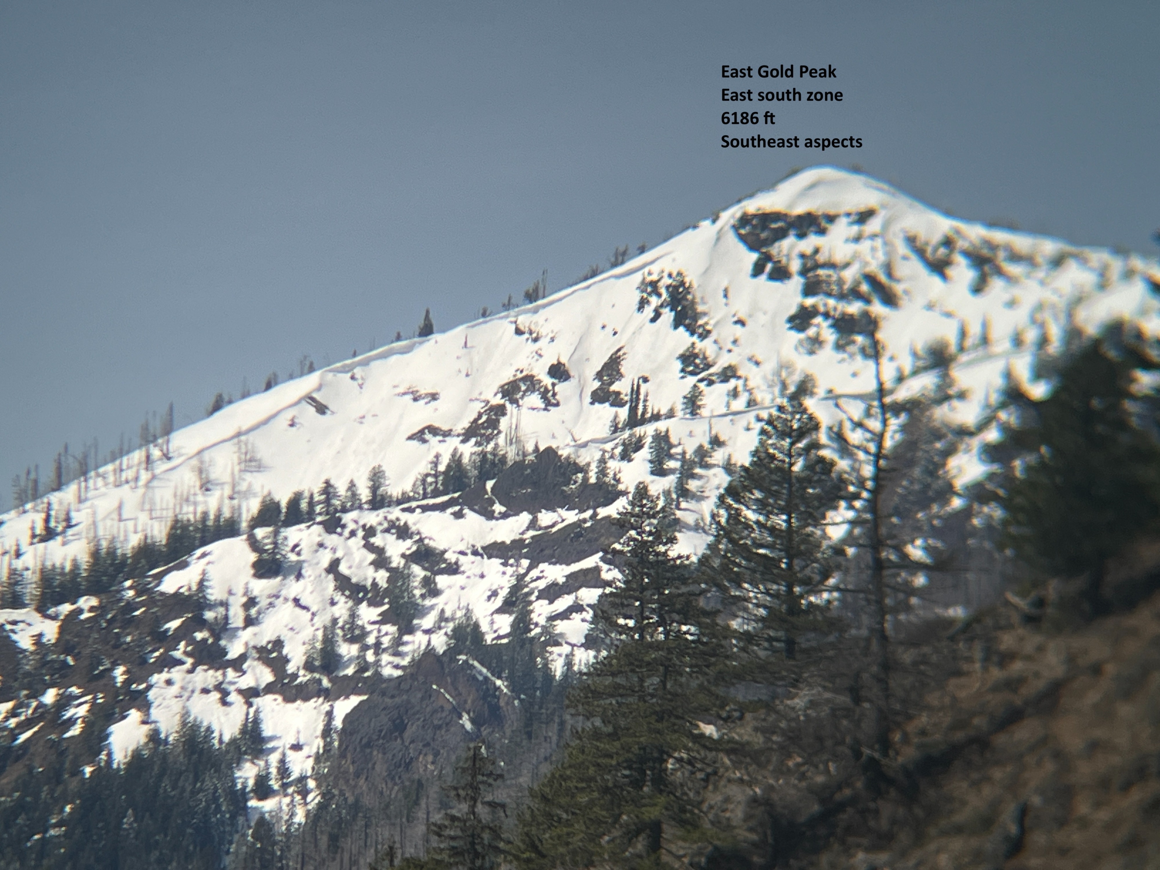
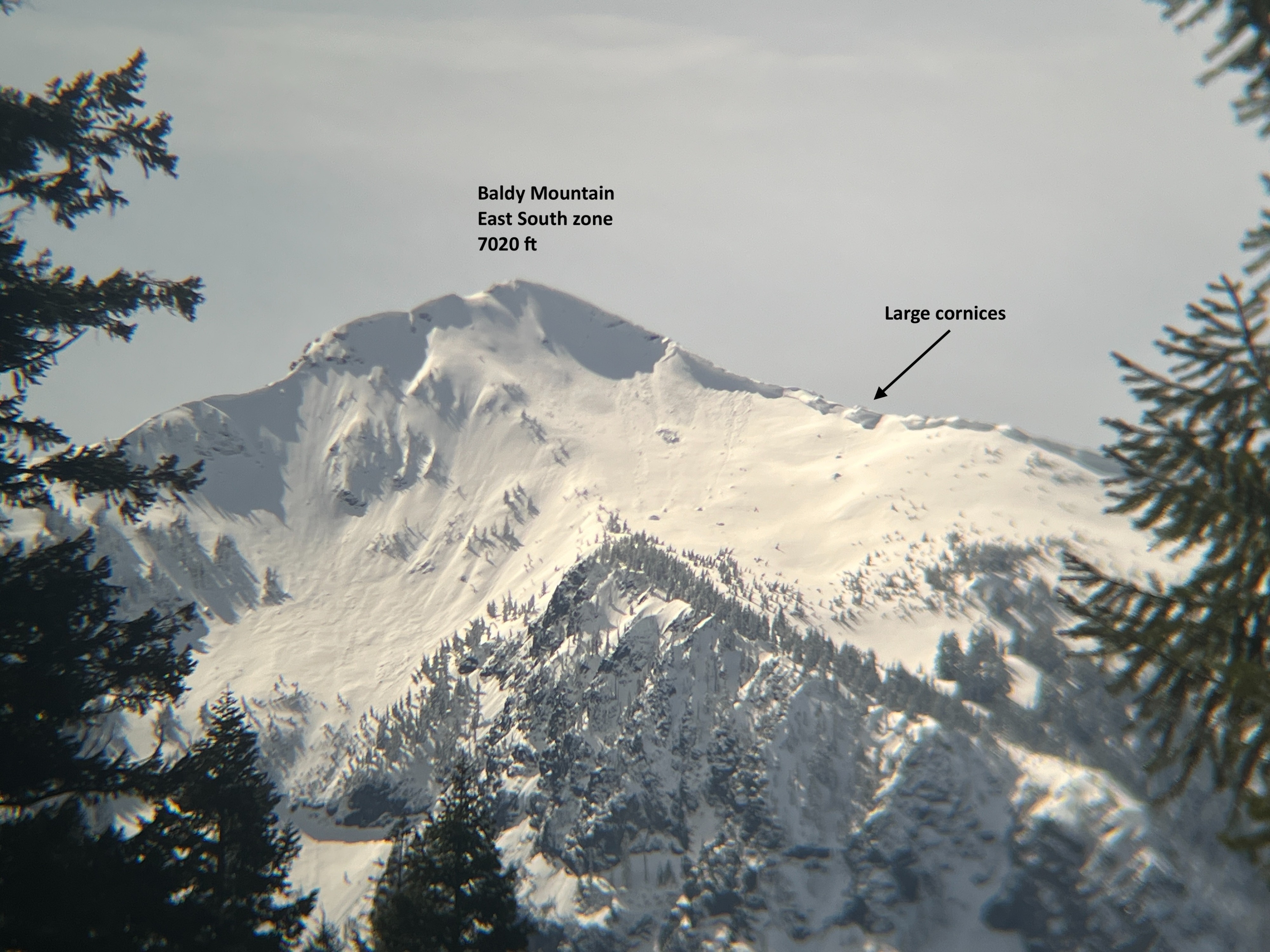
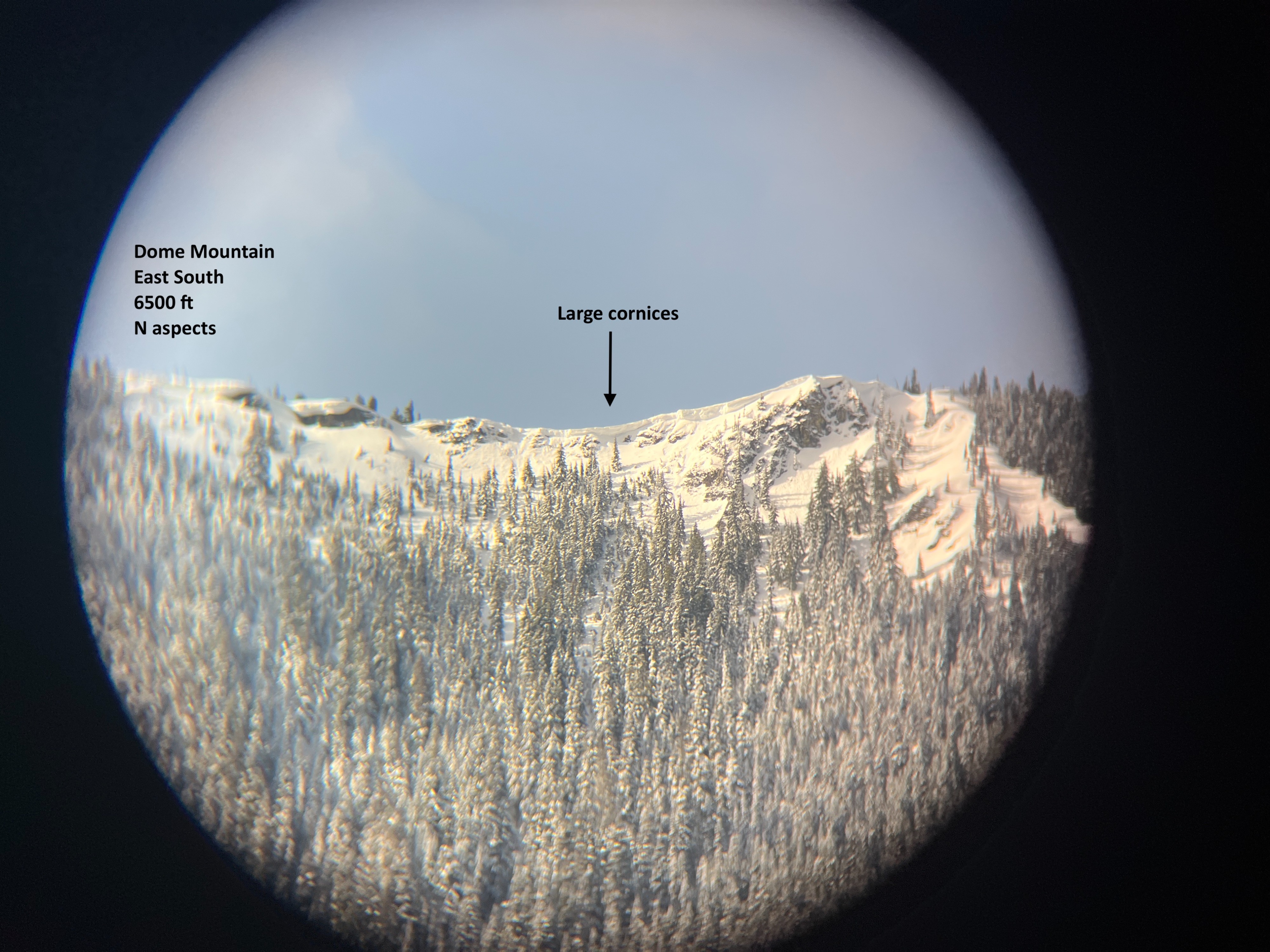
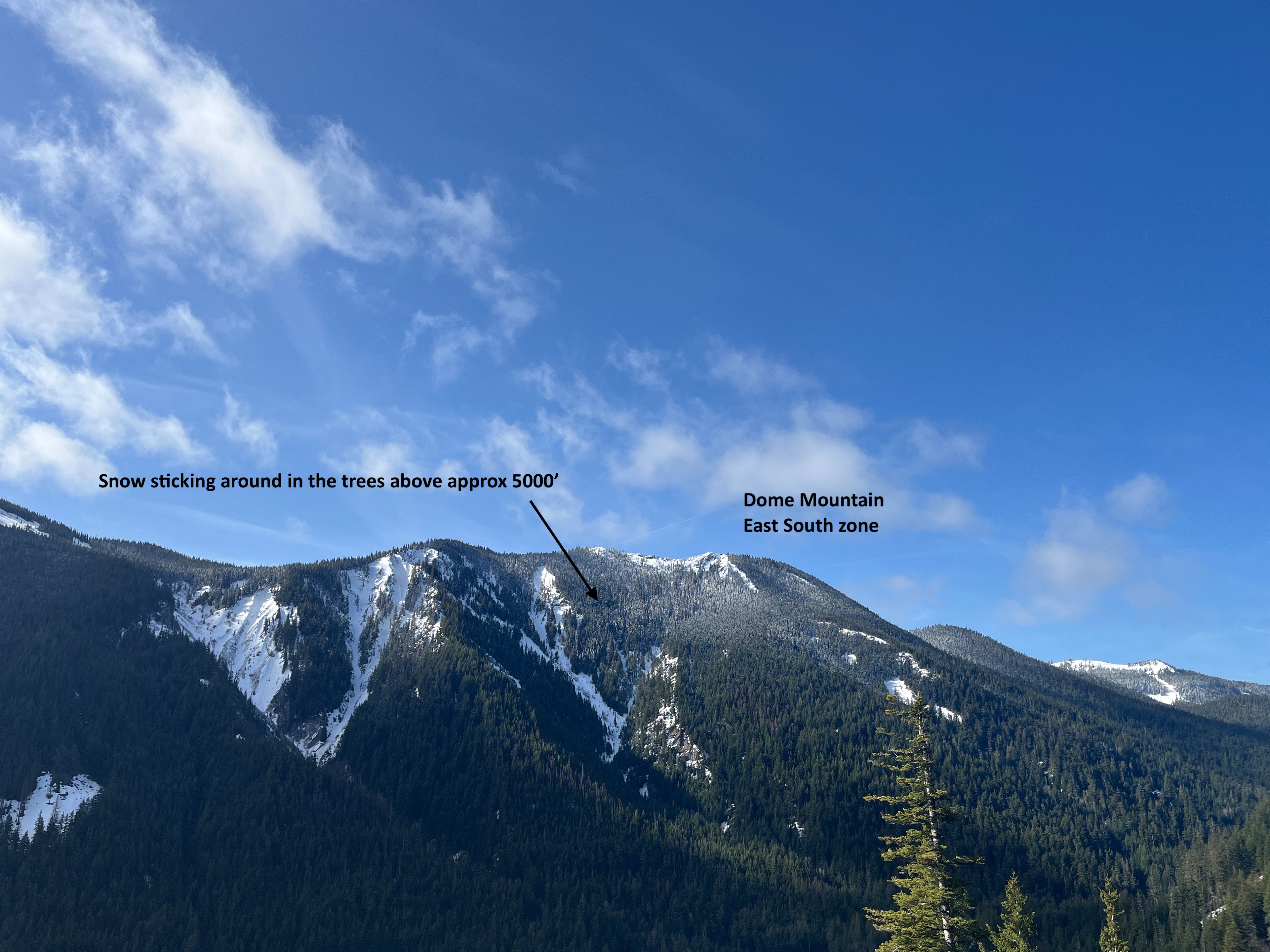
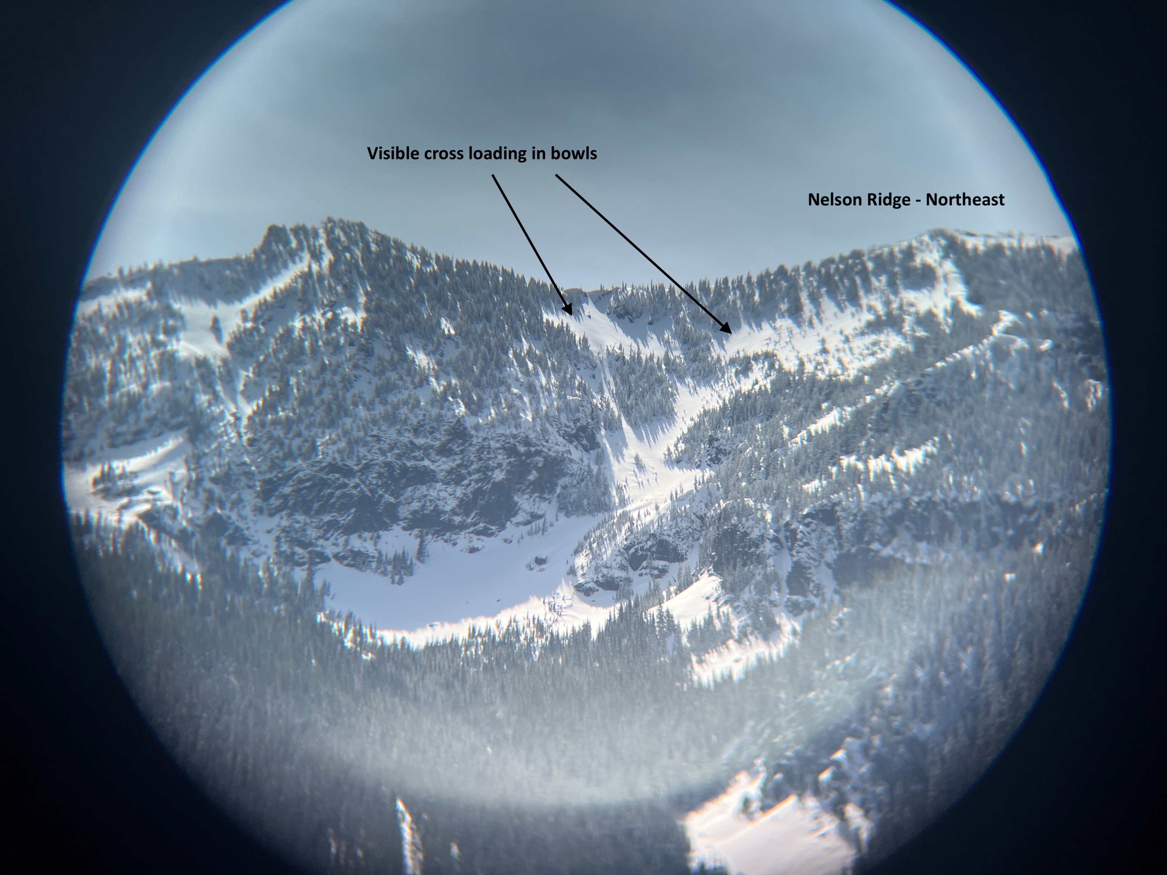
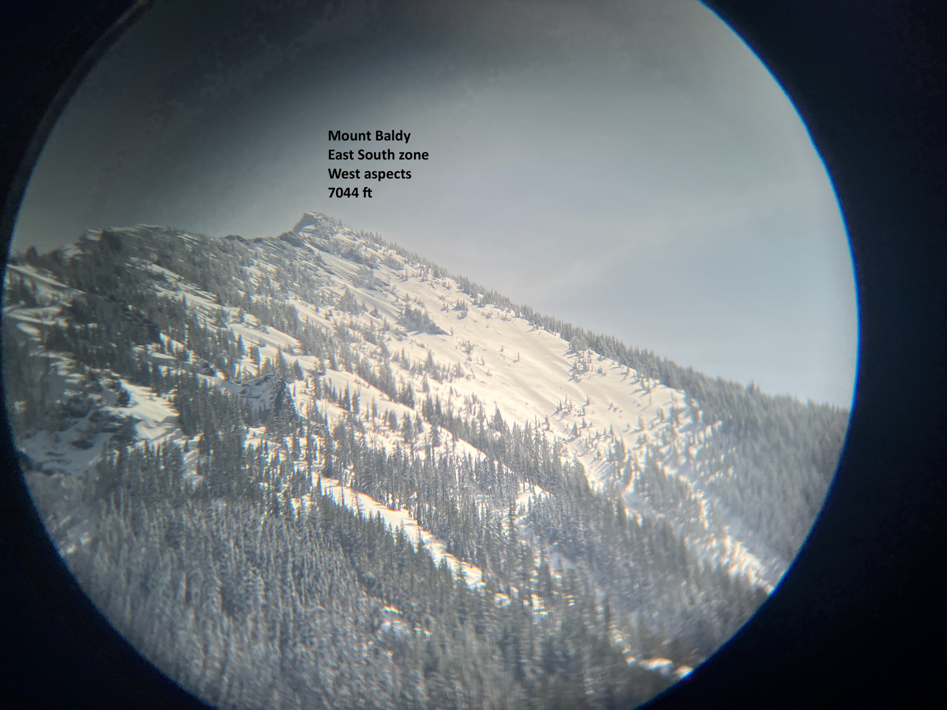
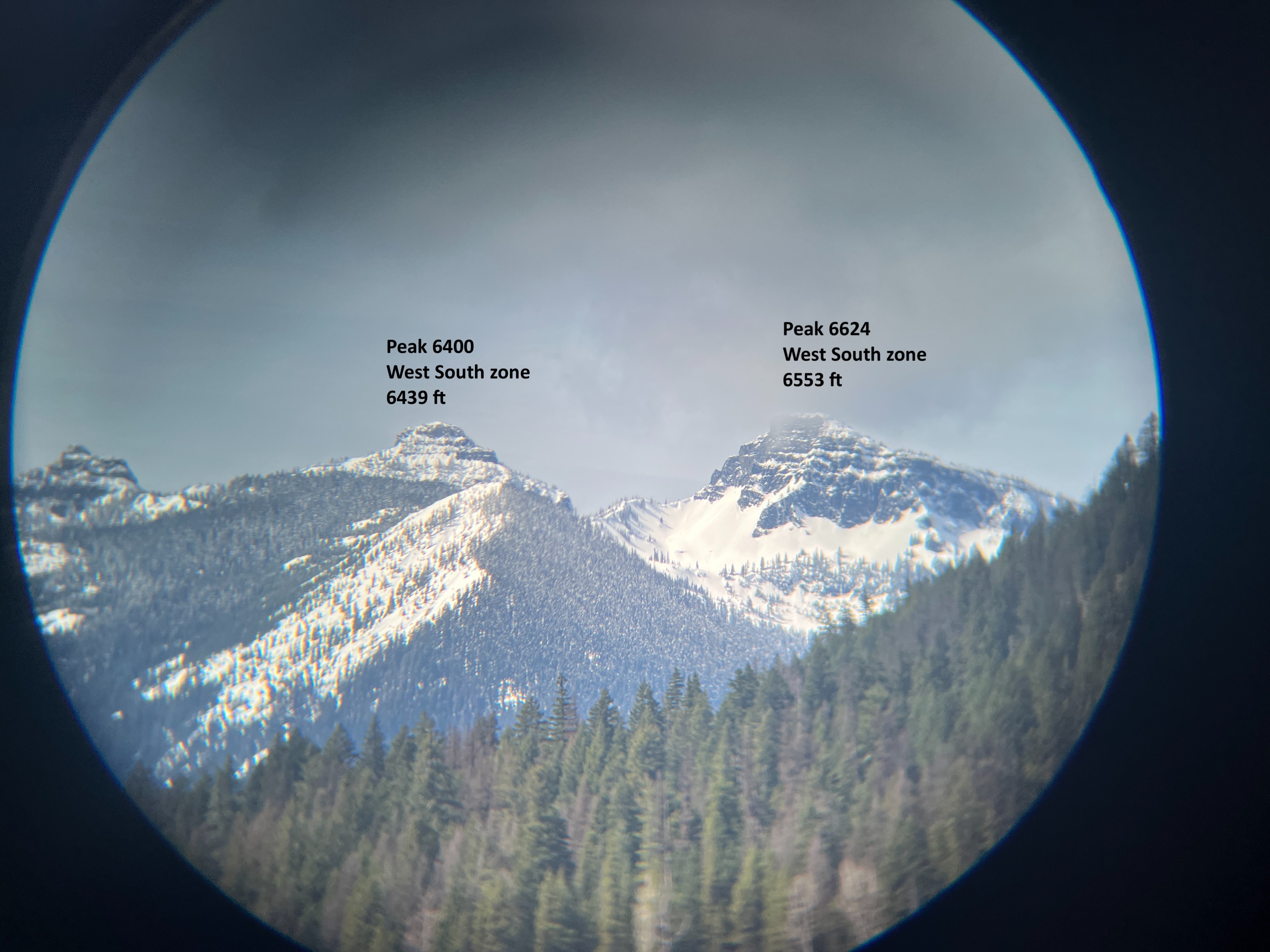
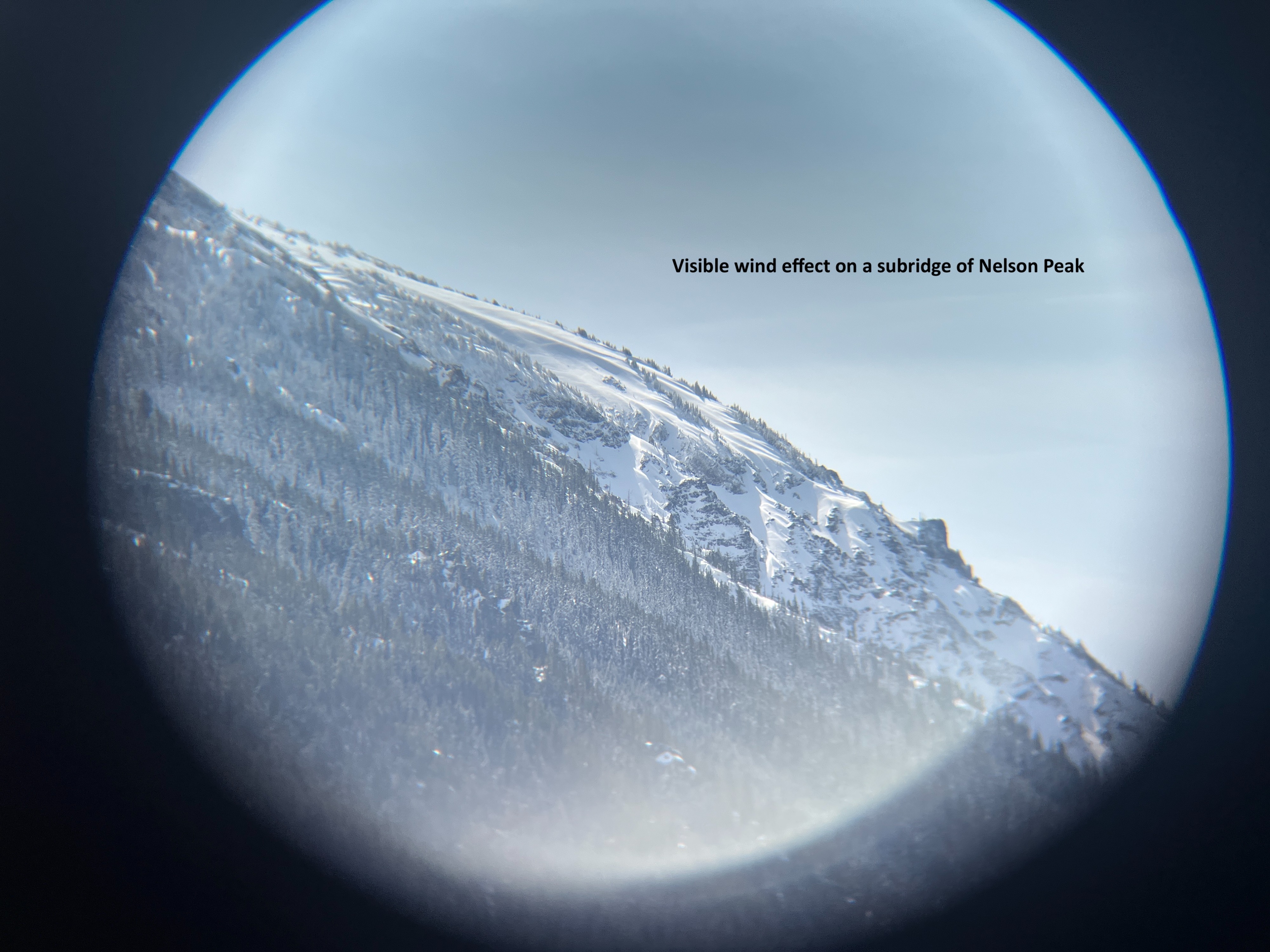
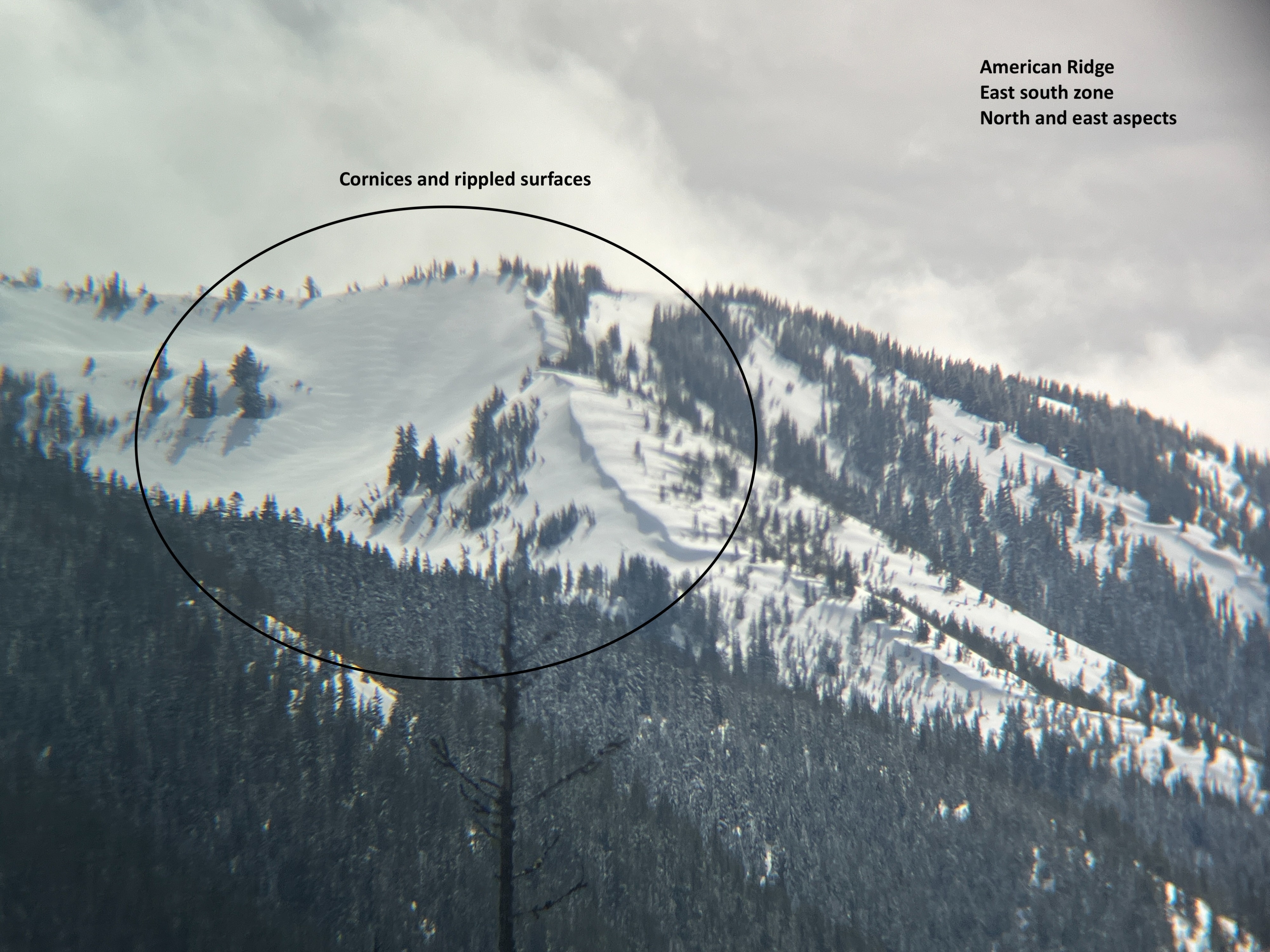
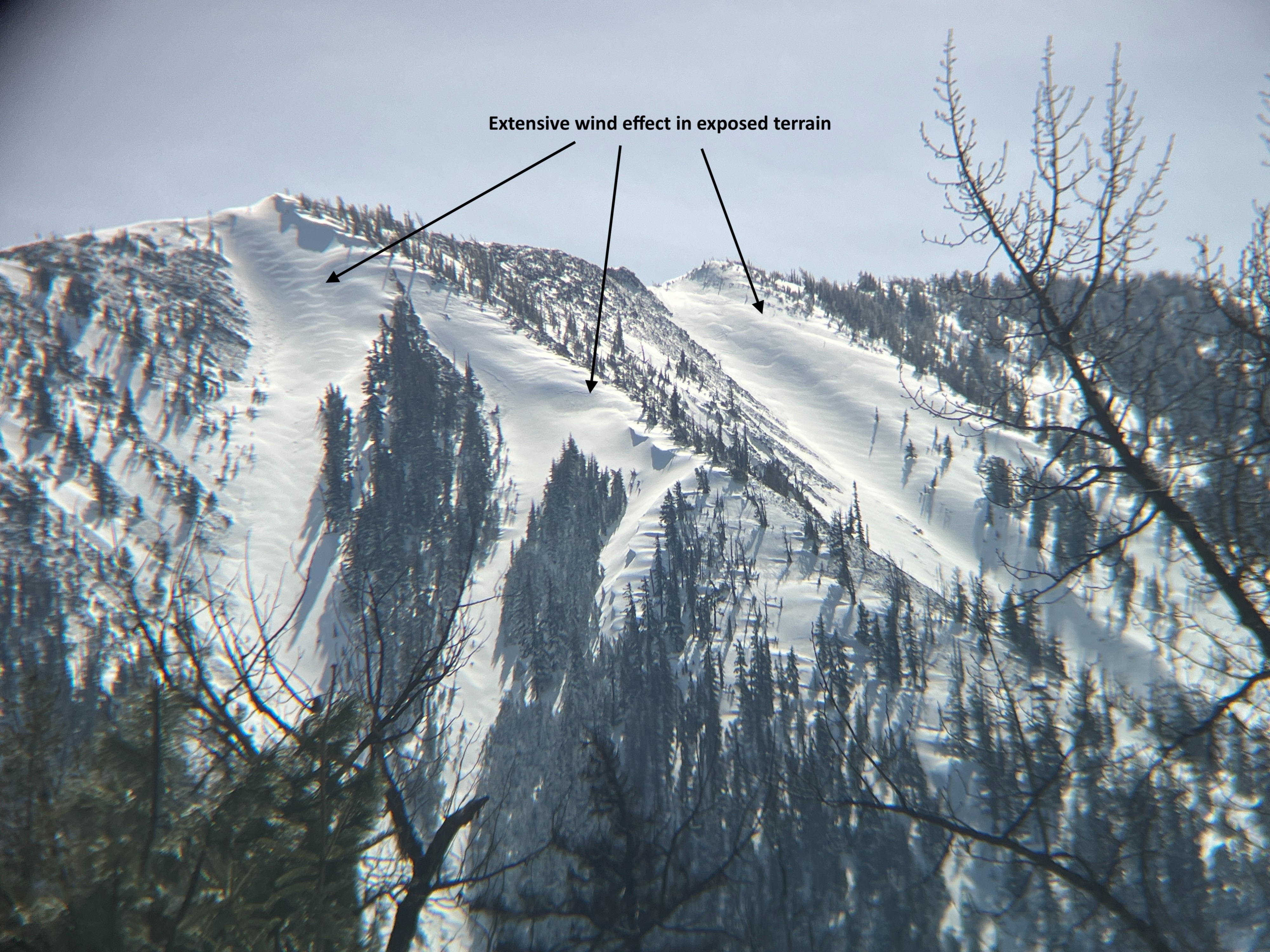
From what I could tell from the highway, there is a change from a more spring time to winter time snowpack on northerly aspects around 5000 ft. The trees were holding onto recent snow above this elevation and the surfaces looked extensively wind affected in most exposed terrain. This was most apparent out around Bumping Lake. Although I did see some small signs of warming above 5000 ft, most of the wet loose slides I observed were in elevations below. On southerly aspects, the snowpack does not exist below 5000 ft.
Avalanche
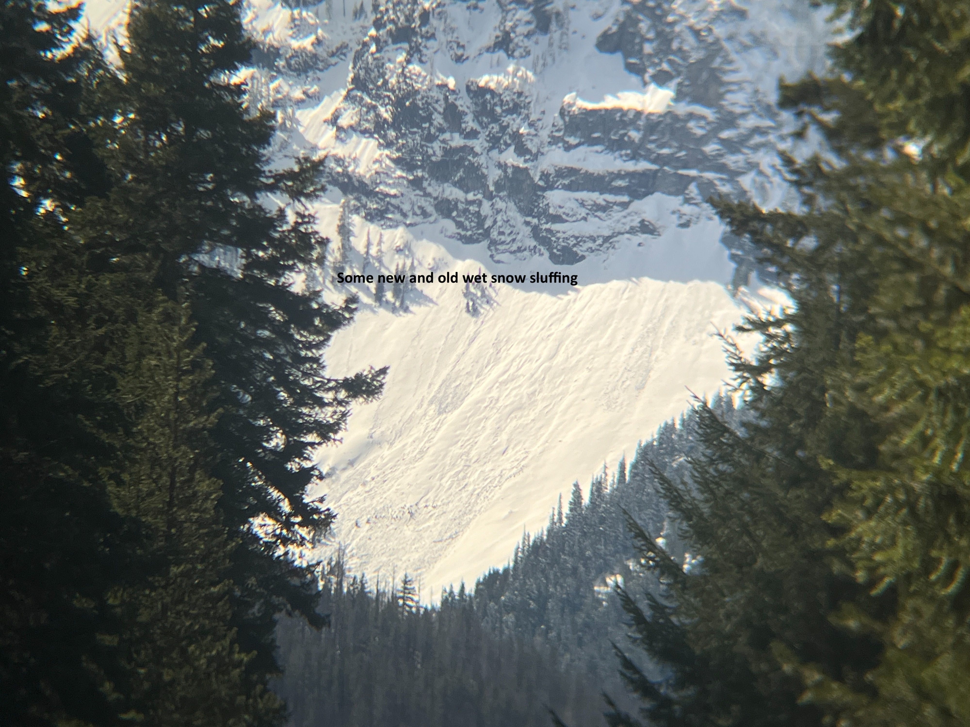
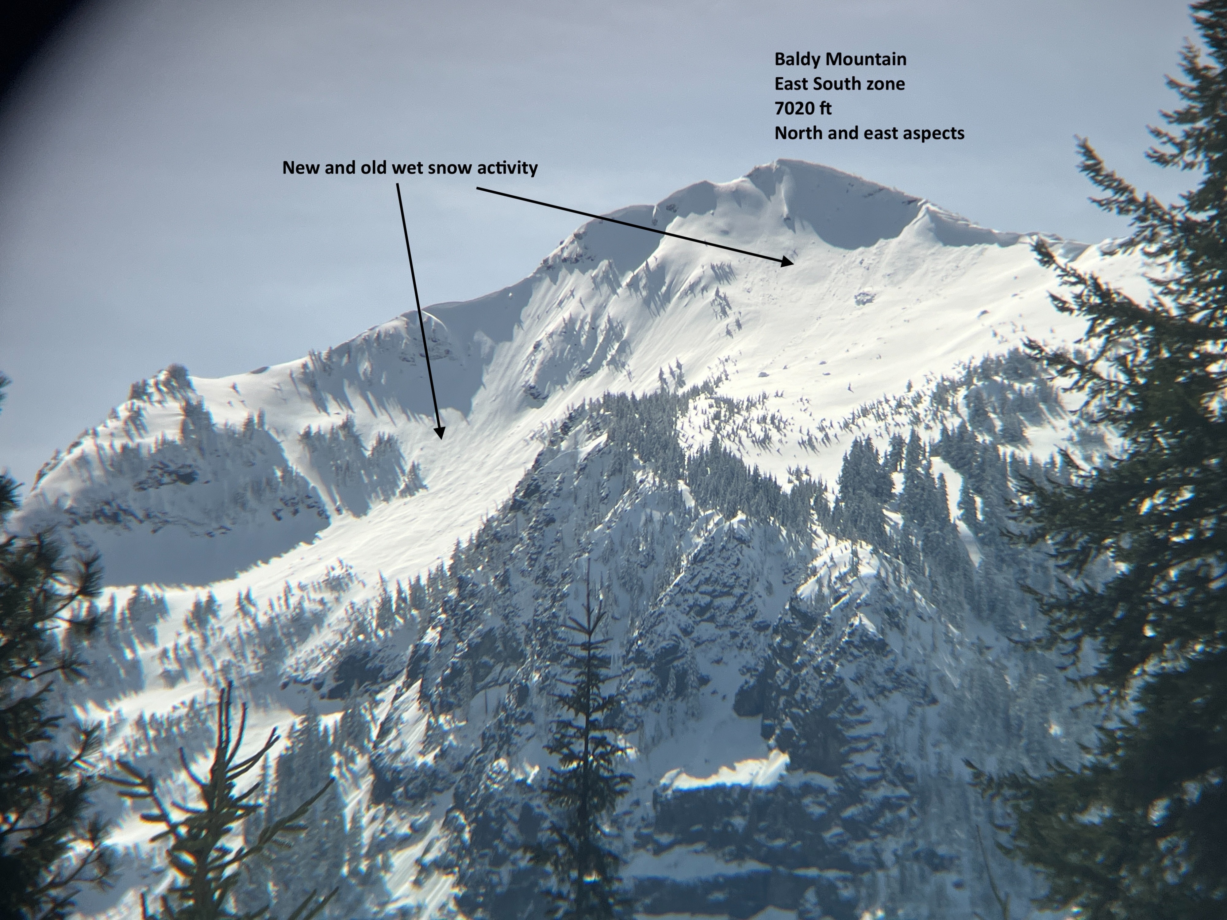
I observed numerous small wet loose avalanches, generally initiating from cliffy terrain. Some were old, some were new.