
Quick report
Overall the conditions were more stable than anticipated from snow totals and wind.
With continued accumulation and wind, stability will deteriorate and human-triggered avalanches will be likely.
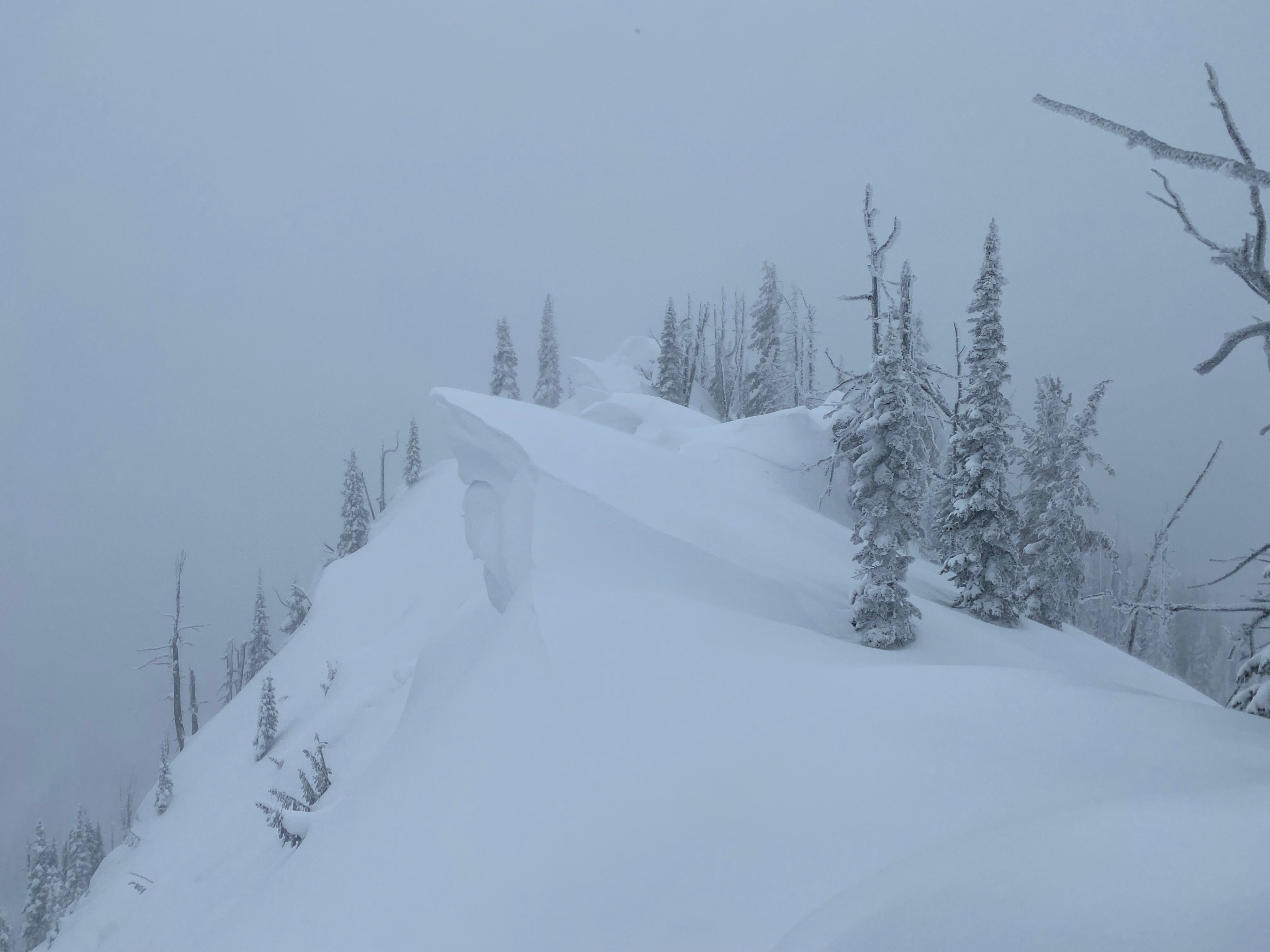
The tour today was surprisingly devoid of signs of instability. No whumpfing, no cracking. Dropping a fridge size cornice on a steep wind-loaded slope produced sluff but no windslab.Weather
- Air Temp
- 24-28
- Cloud Cover
- obscured
- Wind Loading
- moderate
- Rain Elevation
- 4500'
- Recent Snowfall
- 12"
- Snow Avail For Transport
- moderate amounts
Warm temps and light snowfall most of the time we were out. There were a couple of brief periods of heavier snow, but overall the rate was less than 1/2" an hour (S-1). Winds were light with moderate gusts and minimal snow transport before 1PM. In the afternoon, winds picked up to moderate with strong gusts, increasing to sustained strong winds. At ridge top, they were out of the southwest. At middle elevations, they were being funneled by terrain and affecting multiple aspects.
Snowpack
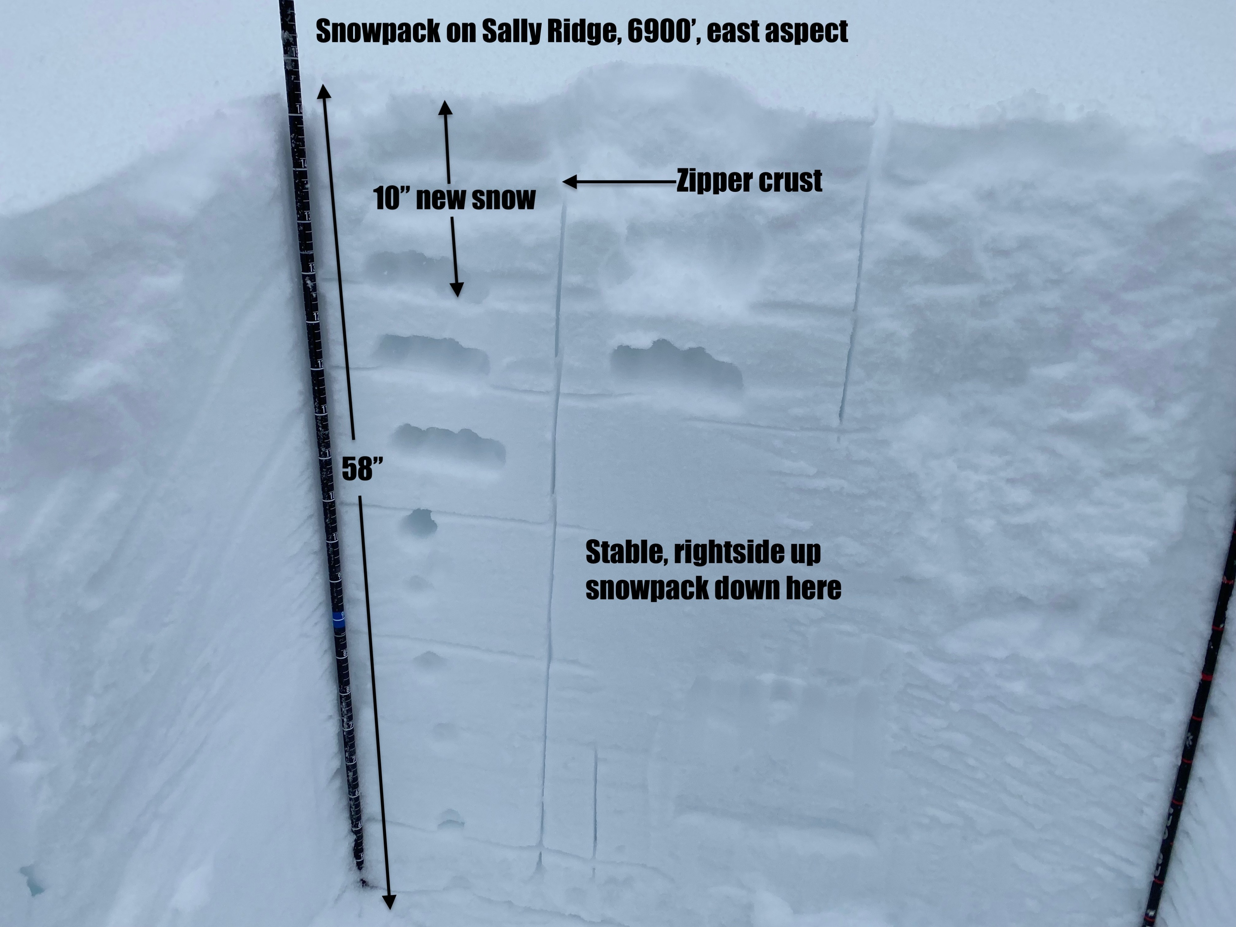
Aproxamitly 30cm (12") of storm snow had accumulated today. It was well bonded to the old snow, and minimal signs of instability were found.
A zipper crust from freezing drizzle yesterday afternoon was buried 10cm (4") deep by last night's snow.
On windward aspects, this crust was exposed, limiting the amount of snow available for transport.
Stability tests produced no results of note.
Warming temps and light freezing drizzle this afternoon created denser snow over lighter, this could be a problem with further accumulation.
Avalanche
- Size
- D1.5 R1
- Type
- HS
- Aspect
- E
- Trigger
- NC
- Elevation
- 7599 ft
A large chunk of cornice triggered this isolated windslab.