
Quick report
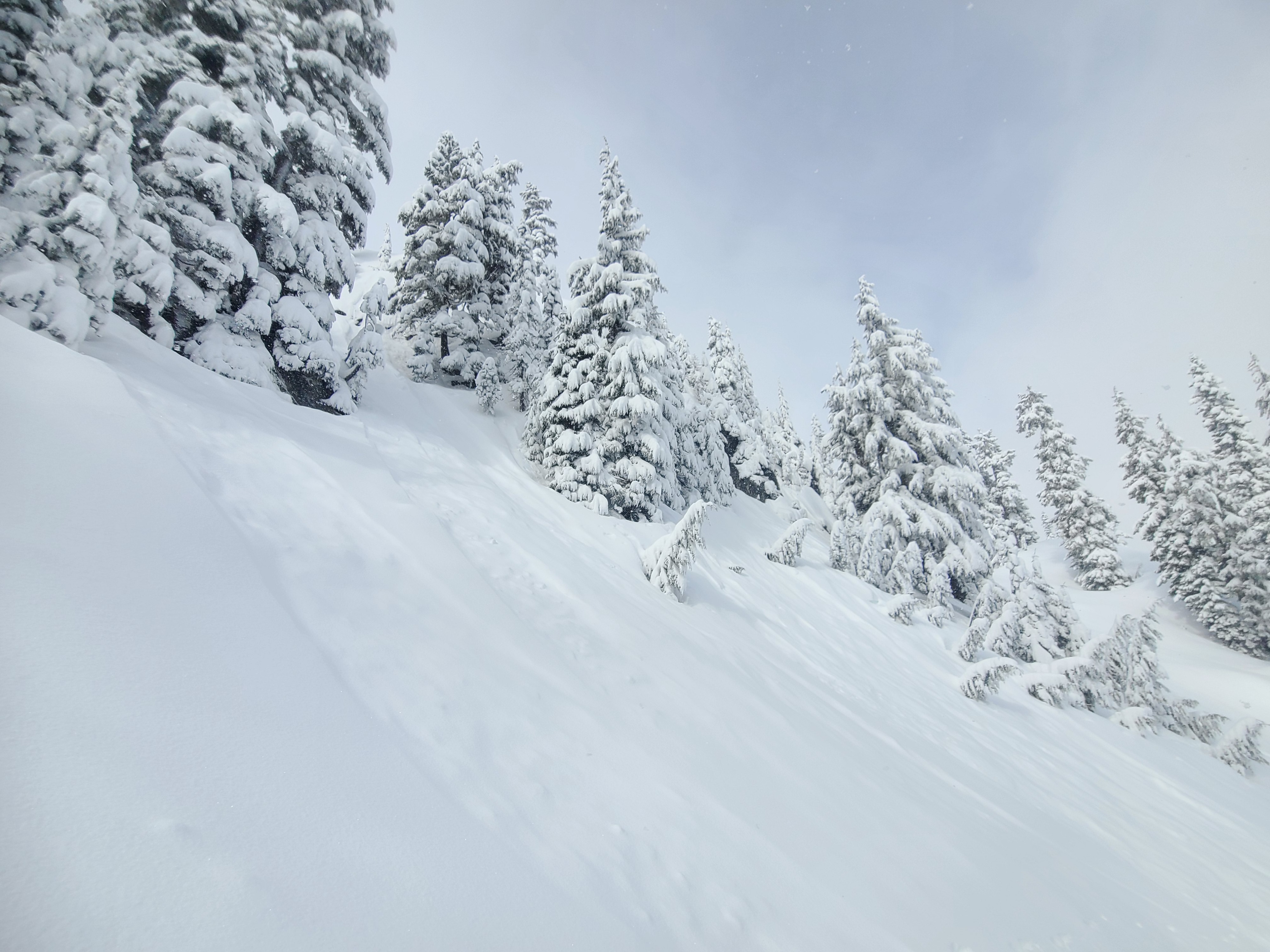
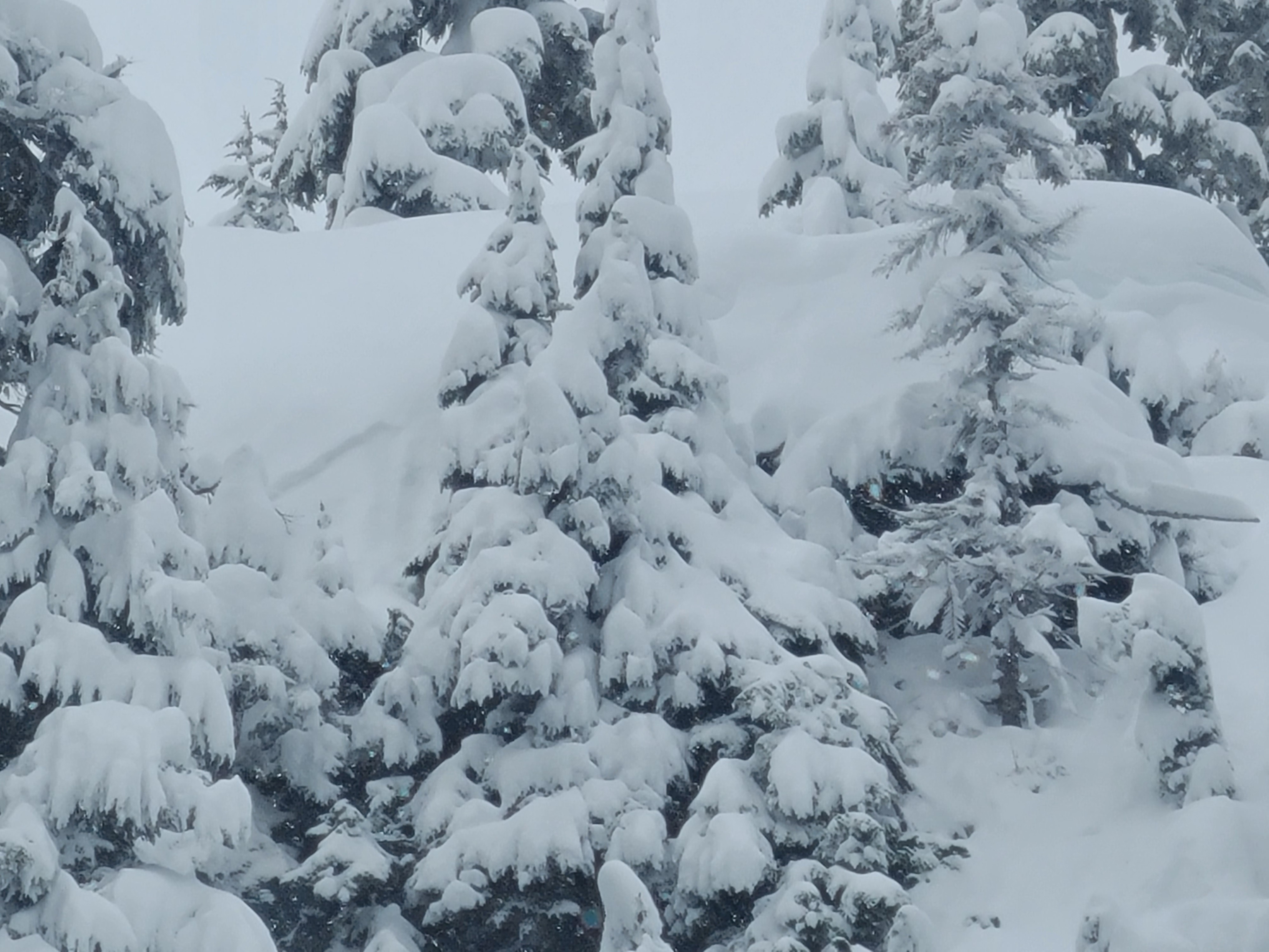
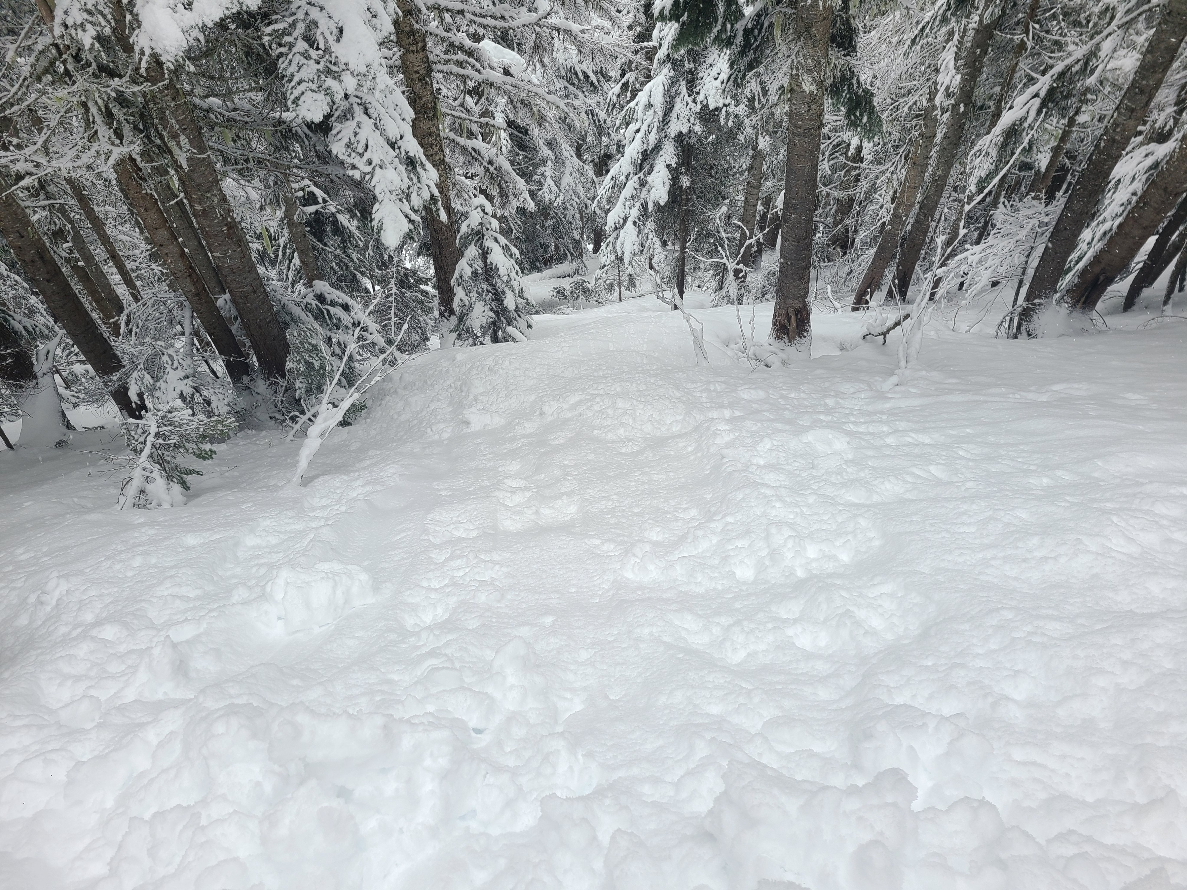
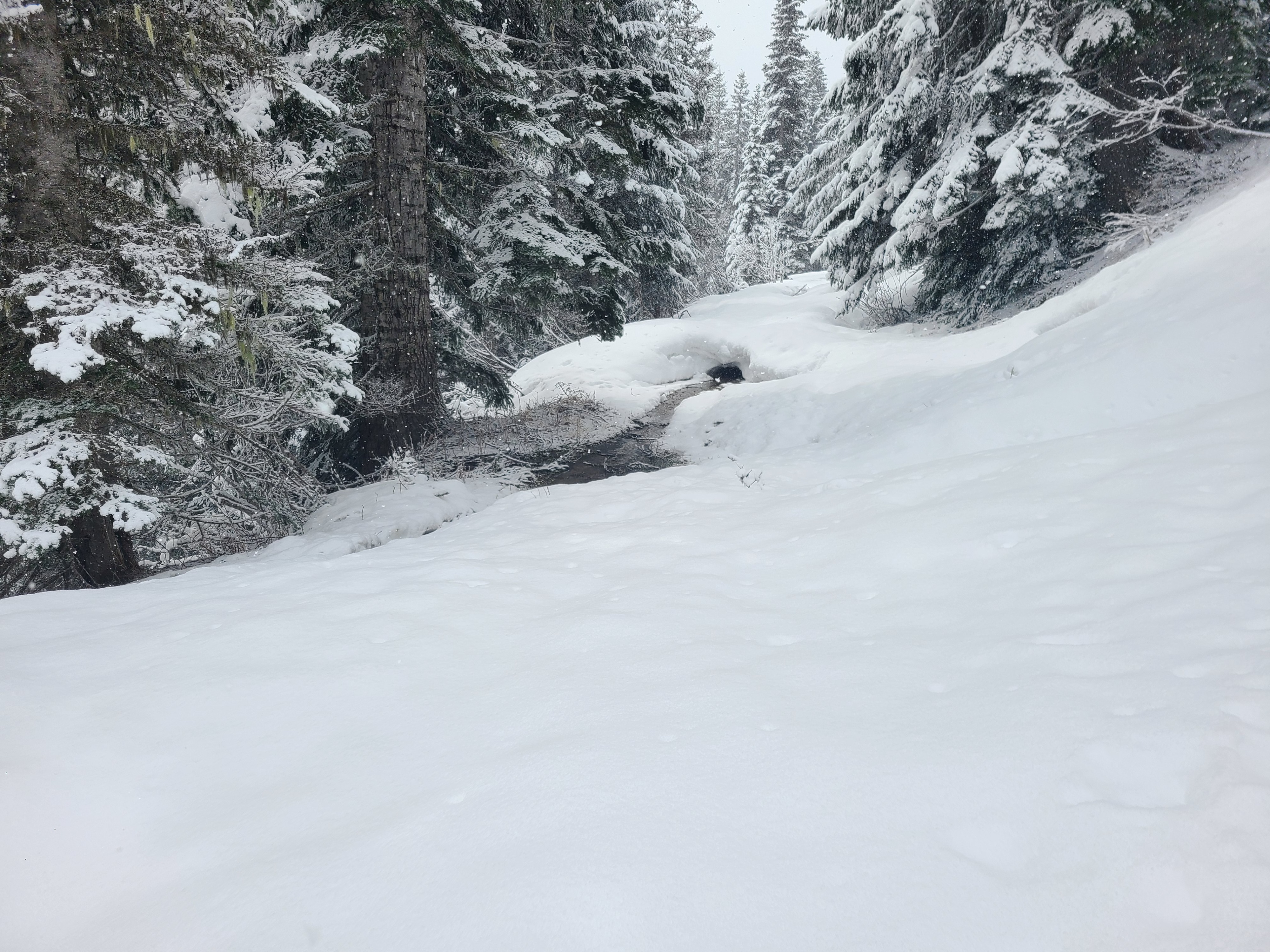
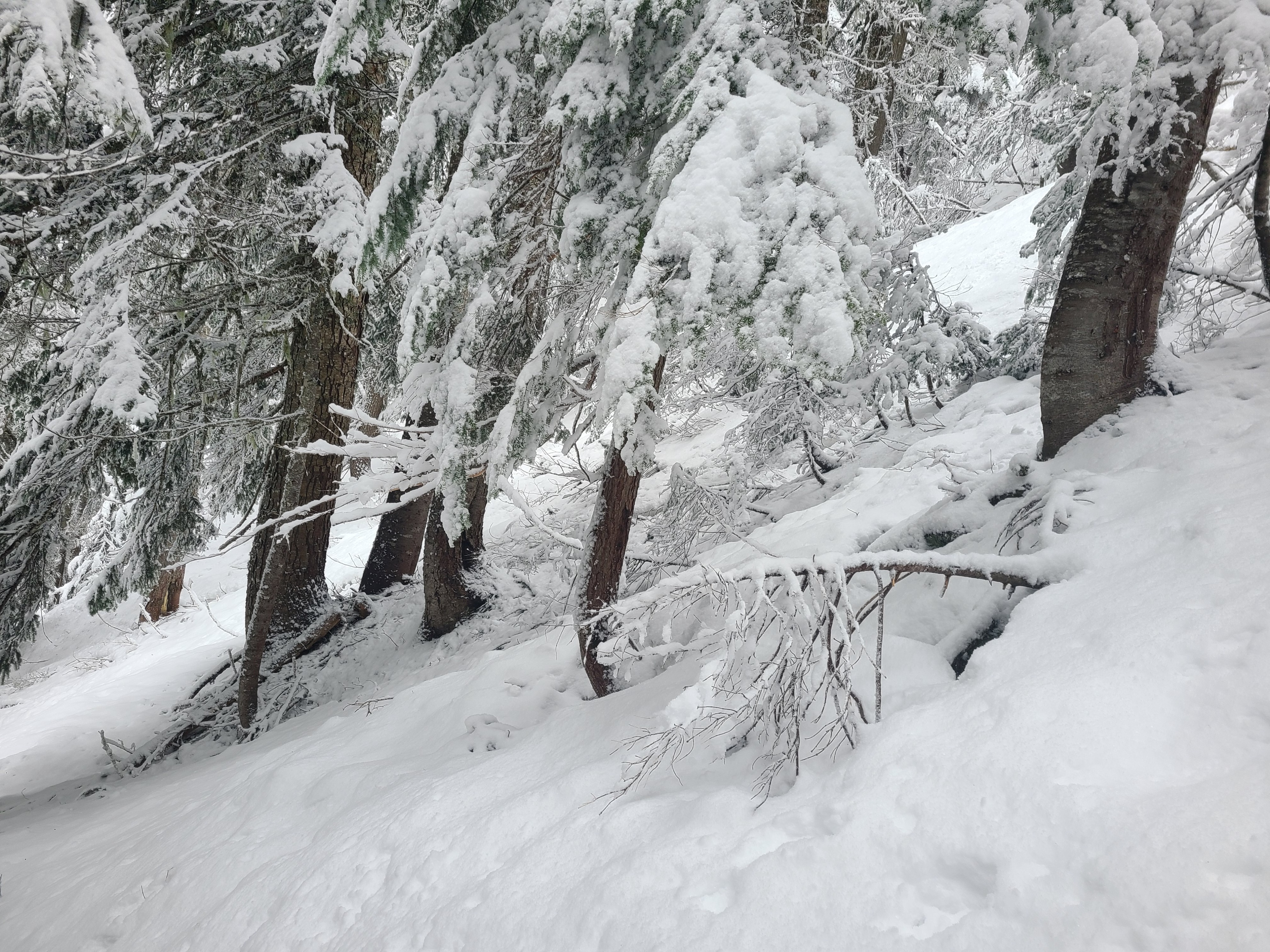
A nice winter storm in April is always a fun treat! With 12-17" of fresh snow, trail breaking was deep but manageable thanks to a cooling trend during the storm. The previous wind loading was noticeable, but the test slopes produced no results, at least at these mid-elevations. A natural dry loose avalanche cycle occurred overnight, but significant storm-snow settlement made those hard to trigger on test slopes as well. The one avalanche problem that was easy to initiate on test slopes was wet loose avalanches. The snow transitions quickly during these cold spring storms, and despite only brief sunbreaks, the snow on southeasterly aspects had already become wet and heavy below 5000ft.
Most of the day was cloudy and cool with light winds. But convective showers would pick up occasionally with increasing snow and winds before giving way to either a short sun break or back to calm, cloudy skies.
A widespread overnight cycle of dry loose avalanches was the most frequent sign of instability. At lower elevations, the snow was quickly becoming warm and heavy from daytime heating, and I could trigger wet-loose avalanches in steep terrain. There was one miniature slab avalanche on an incredibly steep, unsupported slope.Weather
- Cloud Cover
- overcast
- Wind Loading
- moderate
- Recent Snowfall
- 30-40cm
- Snow Avail For Transport
- large amounts
It felt more like mid-winter than April. The only thing that gave the season away was the convective nature of the snow showers. Brief sunbreaks would quickly give way to short bursts of heavy snow (S1-2) and strong winds. These squalls were brief, and between them, it was just cold temps and light winds.
Snowpack
Snow Surface Summary
Soft surfaces all around. You could feel the crust below the recent snow in forested areas, but not in open terrain. On northerly aspects, the surfaces were soft and dry, while on east and south aspects, the surfaces were warming and becoming heavy.
Snowpack Summary
Approximately 30-45cm of storm snow rests over the 4/14 melt-freeze crust and has a favorable bond. A density change within the storm snow yielded some stubborn, unremarkable compression test results. The 4/14 crust presents quite differently depending on the aspect. On shady slopes, the crust is 4-5cm thick and hard, with consolidated, supportable melt forms below. On sunnier aspects, the crust is thinner, only 2-3cm, and rests over unsupportable, moist, weak melt forms.
Snow Profiles
5200ft, NNW aspect
HS: >340cm
Notable Layers
↓15cm - storm snow interface (density change): CT10 RP, ECTN
↓44cm - 4/14 melt-freeze crust
4700ft, E aspect
HS: 300cm
Notable Layers
↓12cm - storm snow interface (density change): CT10 RP
↓39cm - 4/14 melt-freeze crust
↓41cm - Moist, weak melt forms: CT25 SC