
Quick report
- Cracking
- isolated
- Collapsing
- isolated
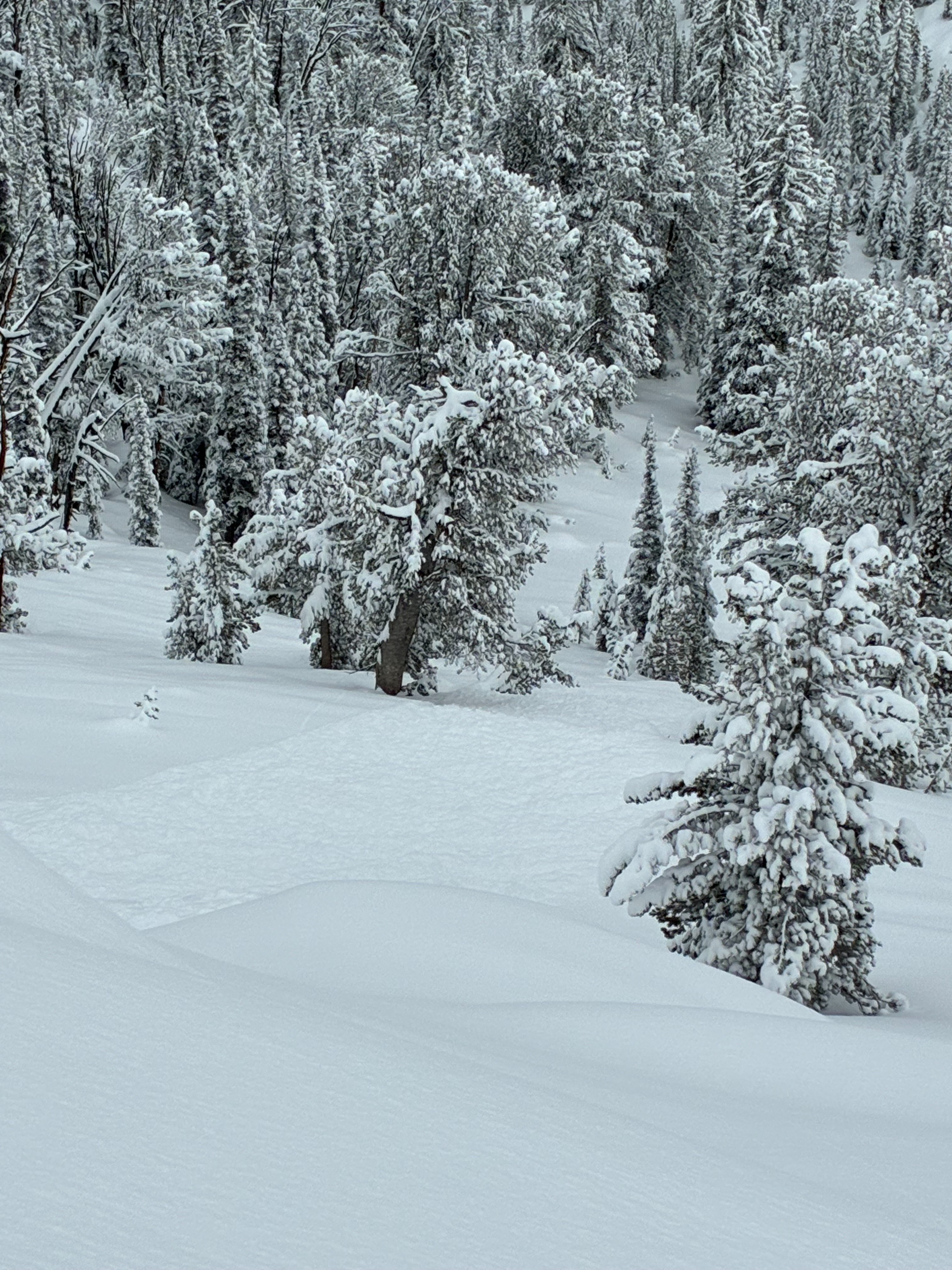
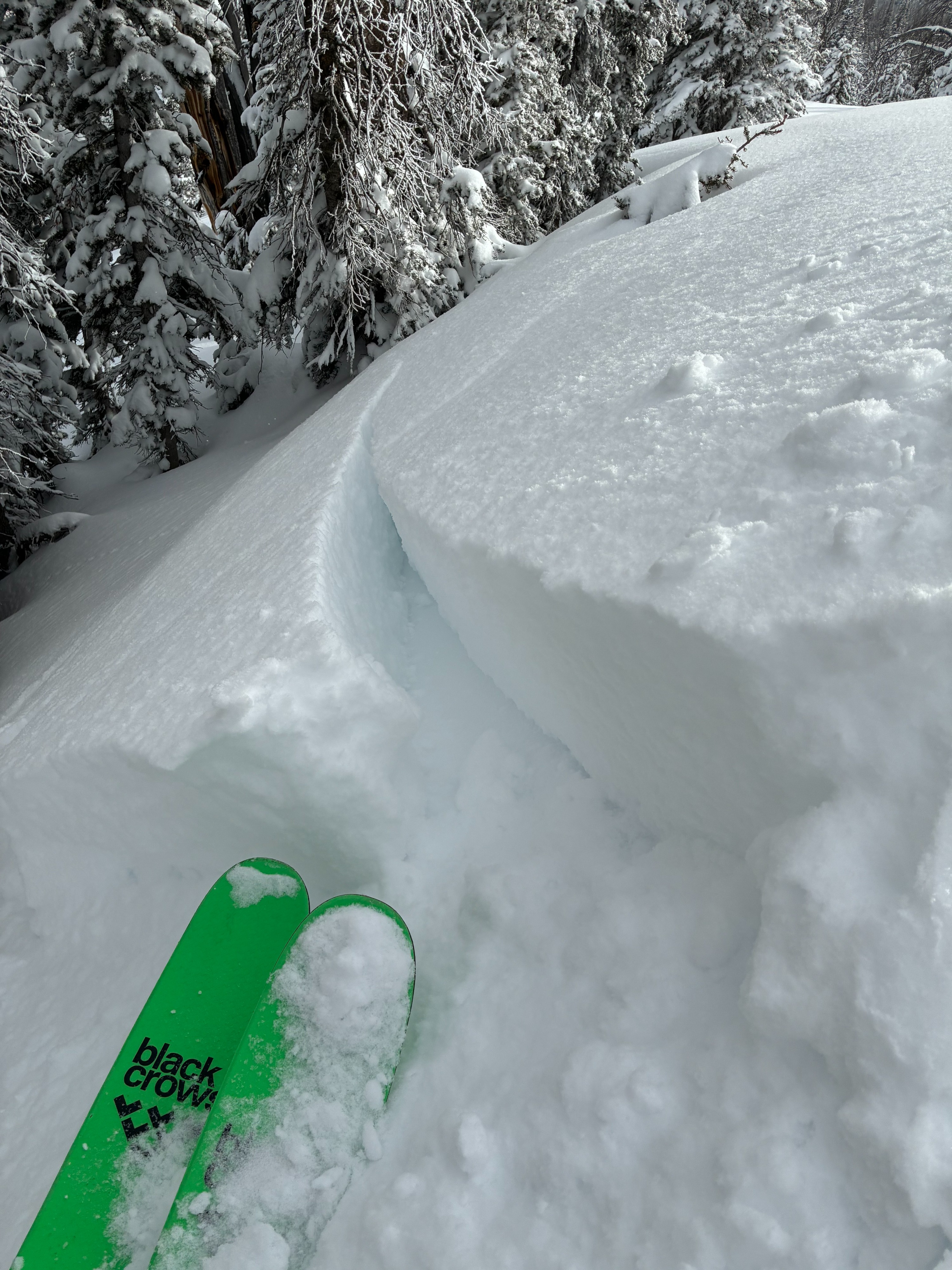
8-10" of new snow in the last 24h. The wind created reactive 1-1.5' thick slabs in exposed terrain in the middle and upper elevations. Wind-loaded slopes were my greatest concern today. Weak snow exists under the new snow on many slopes that face N and E (the terrain I traveled in today was limited to these aspects). Sheltered slopes are currently lacking much of a slab.
Observed 1 D1 windslab (natural) on NE side of Avy Peak. I triggered a very small wind slab on a 15' wide rollover while stomping on it. Cracking was isolated to windloaded areas. Collapsing was isolated where near-surface facets were present under the new snow (N-NE middle elevations) in wind affected areas.Weather
- Cloud Cover
- overcast
- Wind Loading
- light
- Recent Snowfall
- 20 to 25
- Snow Avail For Transport
- moderate amounts
8-10" of new snow in the last 24 hours. Wind was light, gusting to moderate from the SW. Prairie Creek and north stayed overcast during my time in the field.
Snowpack
Goals were to track the distribution and sensitivity of wind slabs, monitor the 2/8 interface, and try to determine the elevation of rainlines.
Wind:
Most avalanche concerns today were specific to wind-loaded areas. LgM WSW winds were moving snow, even on the Ketchum side of Galena Summit. Slabs were still reletively soft, but were reactive to my weight. Wind slabs were F+/4F- hard and 12 to 16" thick.
2/8 interface:
On Galena Summit, there is not yet enough new snow to be worrisome in non-windloaded terrain. 2/8 is about 20-25cm down. 2/8 is most concerning on E and N facing terrain where previous surfaces were dry facets, or crust/facet combinations. On solar slopes, the new snow felt glued onto crusts and the slab would break apart in hand sheers.
Rain Lines:
It was hard to tell due to rain transitioning to snow at somepoint last night, but the rainlines were about at 7500'.