
Quick report
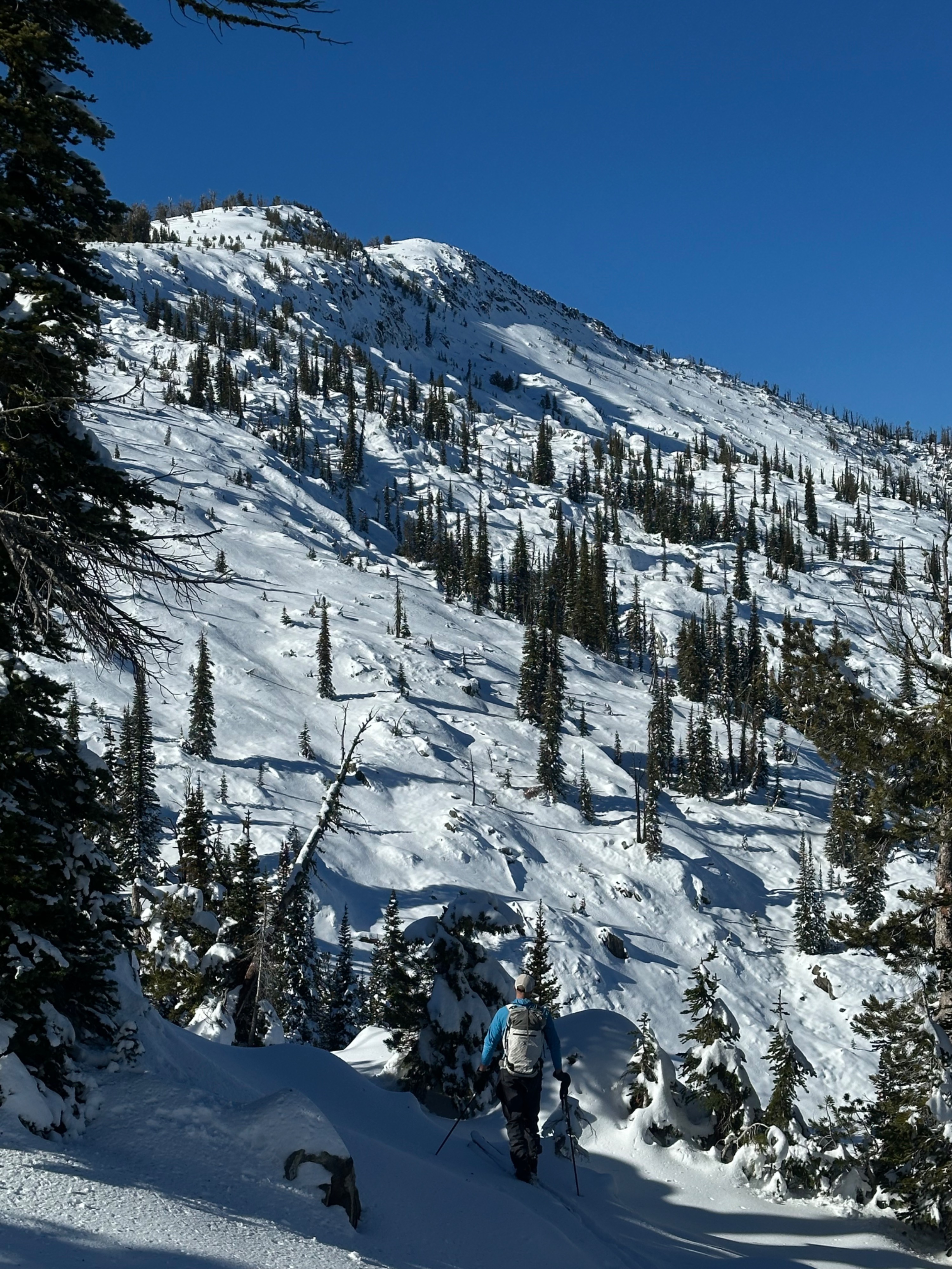
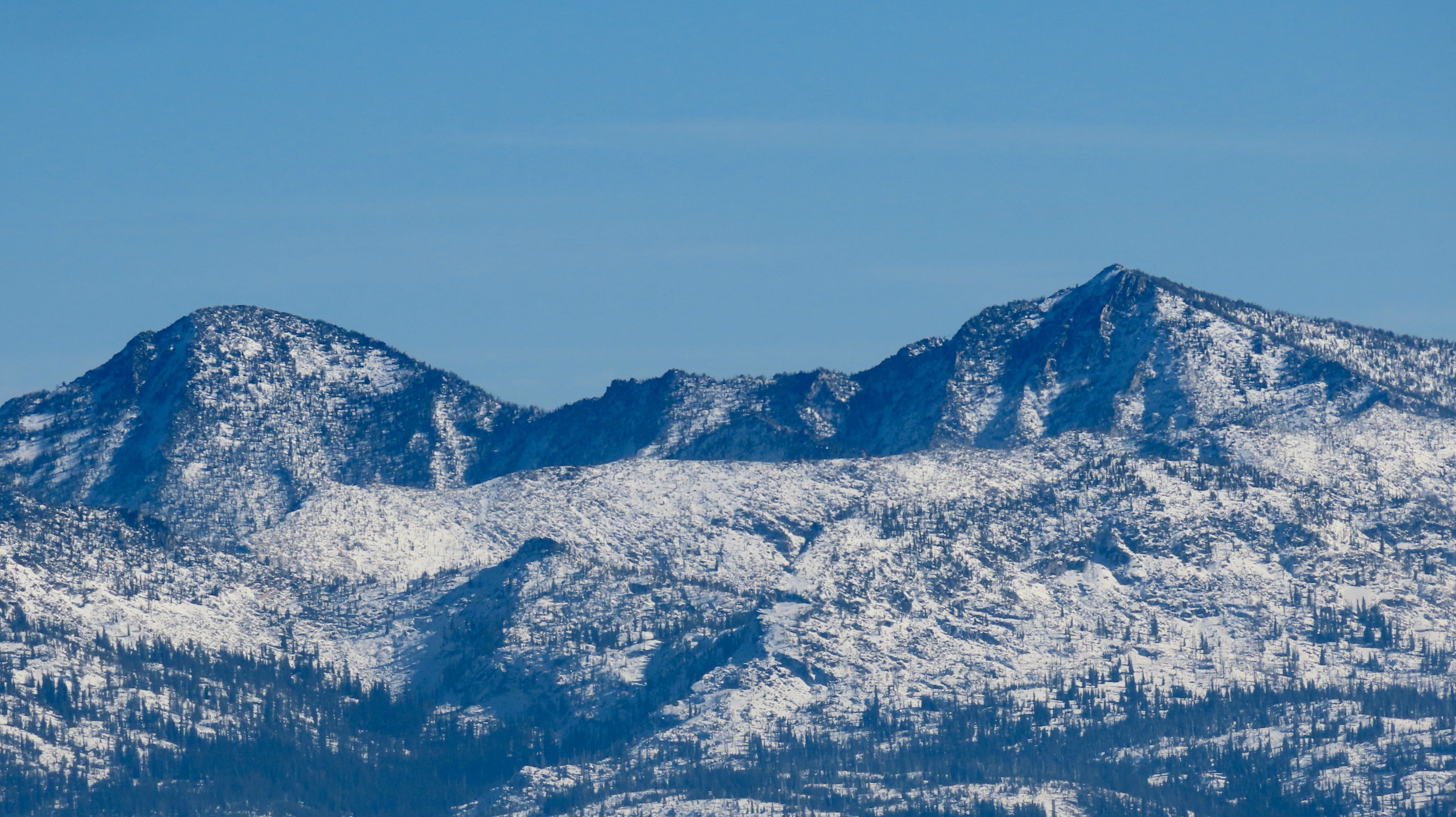
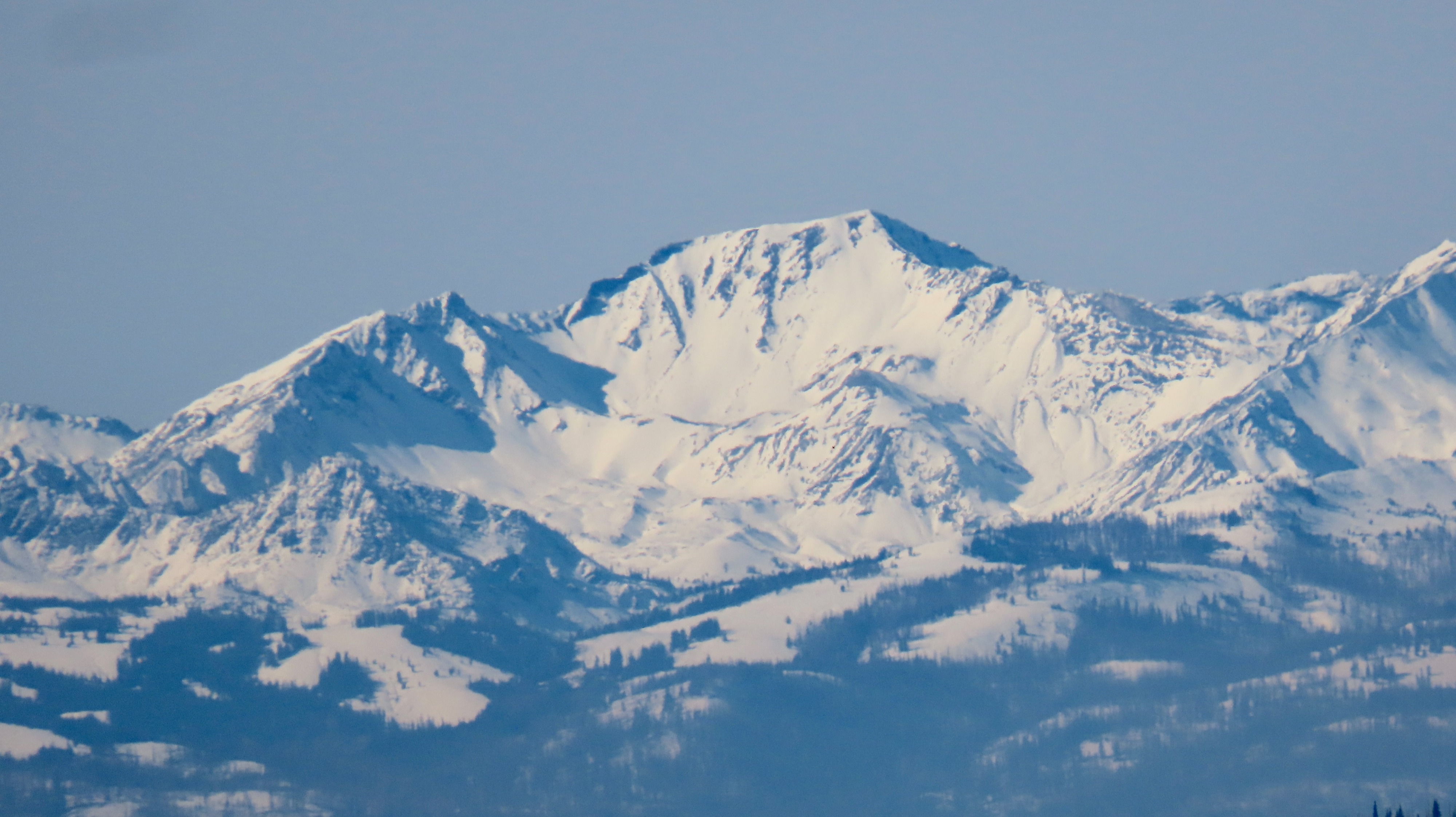
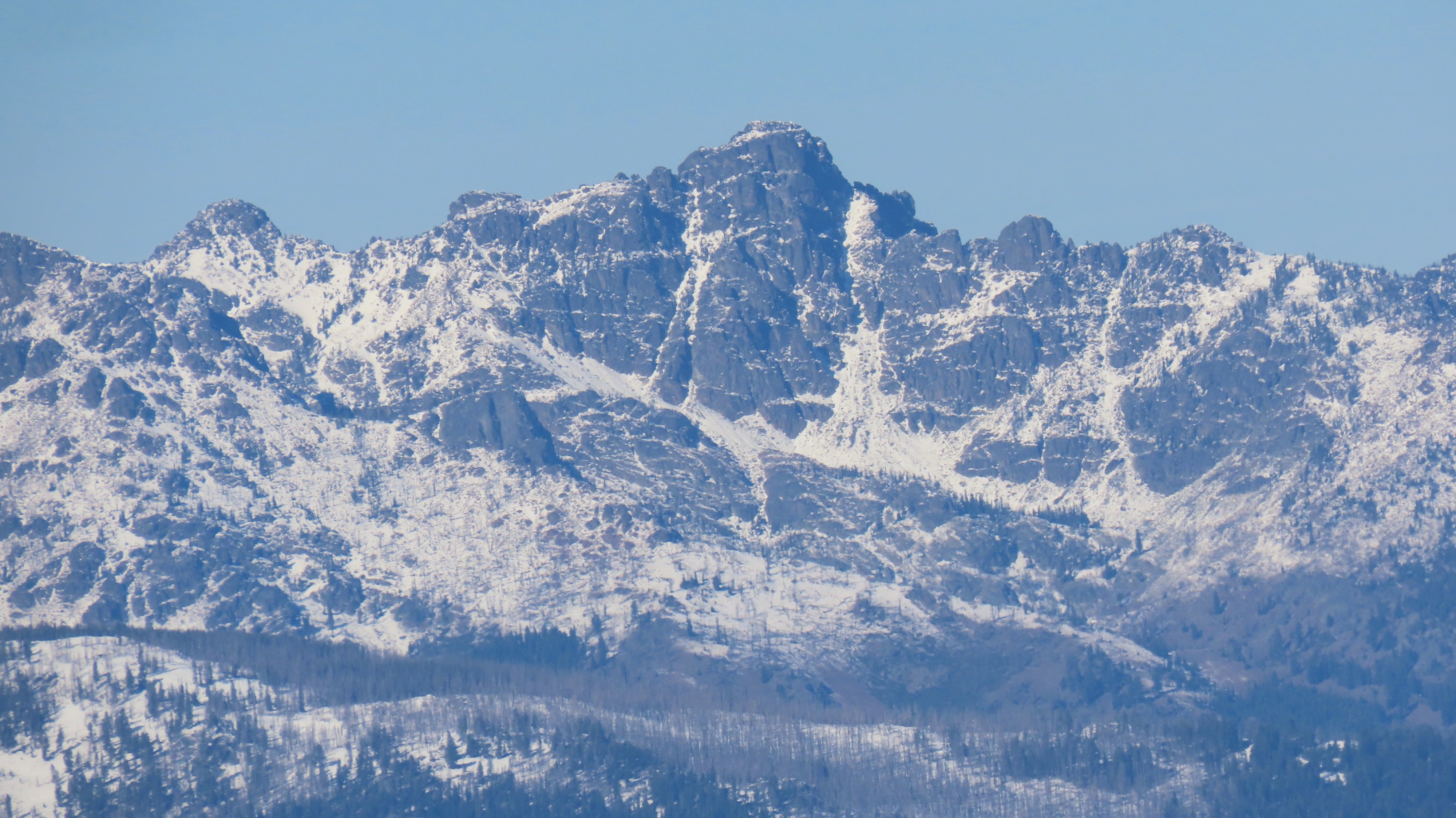
We traveled from around 6,700' to 8,470'. Consistent snow cover was found on all aspects except due south, with an average snow height (HS) of 25-45 cm (10 -15 inches). Aspects on the north half of the compass above 7,500' and anywhere that wind could accumulate more snow (along ridgelines, etc) held upwards of 55-60 cm (around 2 feet) of snow. Previous wind effects are evident in the rippling of the snow surface on many local mountains; however, these slabs of snow are fairly glued down and not reactive.
Thanks to the relatively warm atmospheric river event (complete with a late-evening thunderstorm) depositing the latest snowfall, a supportable "base" was found beneath the top ~10-20cm (7-8 inches) of snow. This supportable layer is not a melt-freeze crust, but rather likely formed right as relatively warm snowfall started, packing more small snow particles into a denser layer. Surface snow, apart from on steep slopes that directly face the sun, has remained soft and is faceting (as well as growing surface hoar)—but thankfully not to the extent that would occur later in the season. Plenty of graupel is present in the upper portion of the snowpack from turbulent storms, and it will be slower to facet with each passing day of dry weather. Beneath the aforementioned supportable base and at ground level is metamorphosing older snow (mixed forms, small facets), which remains moist. All in all (for one point of data in a large range), a decent-looking early-season snowpack. Time will tell how things trend.
Weather
- Cloud Cover
- clear
- Wind Loading
- previous