
Quick report
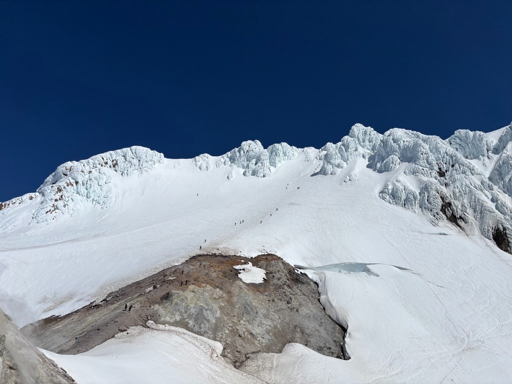
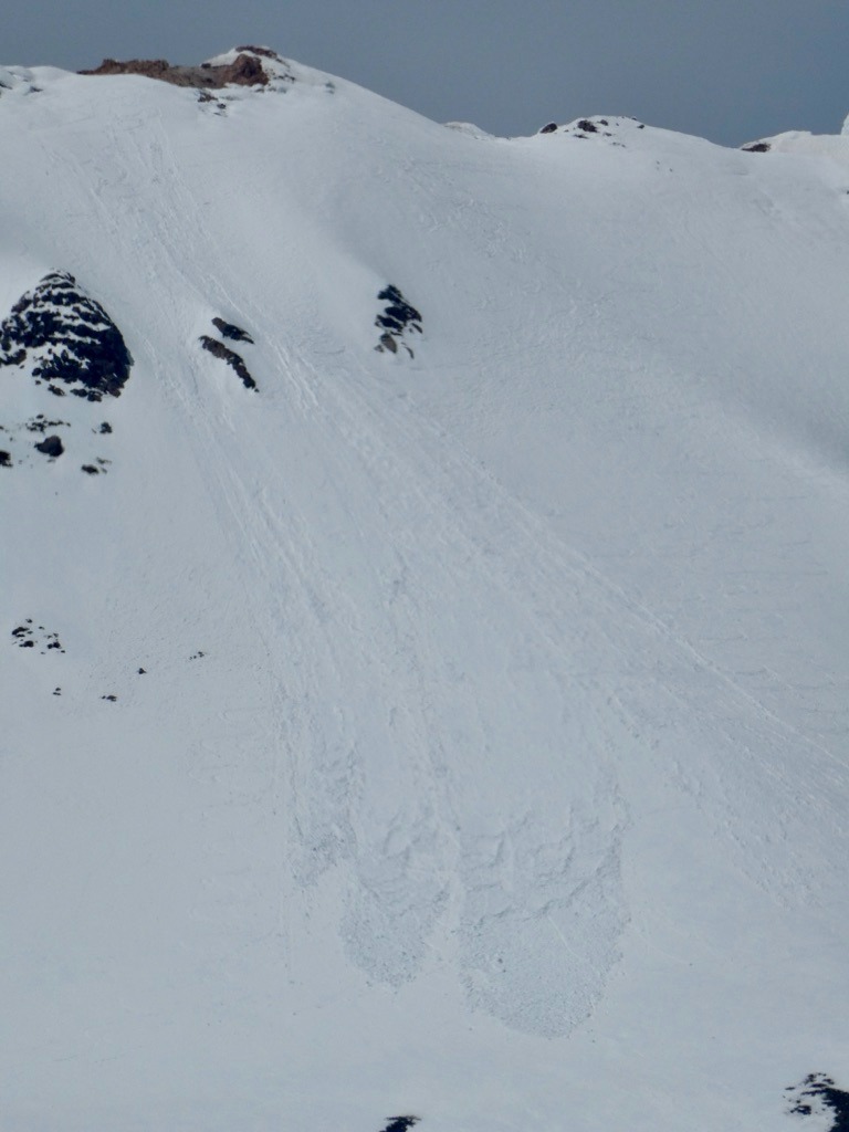
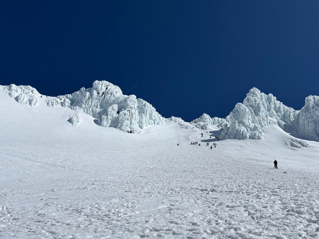
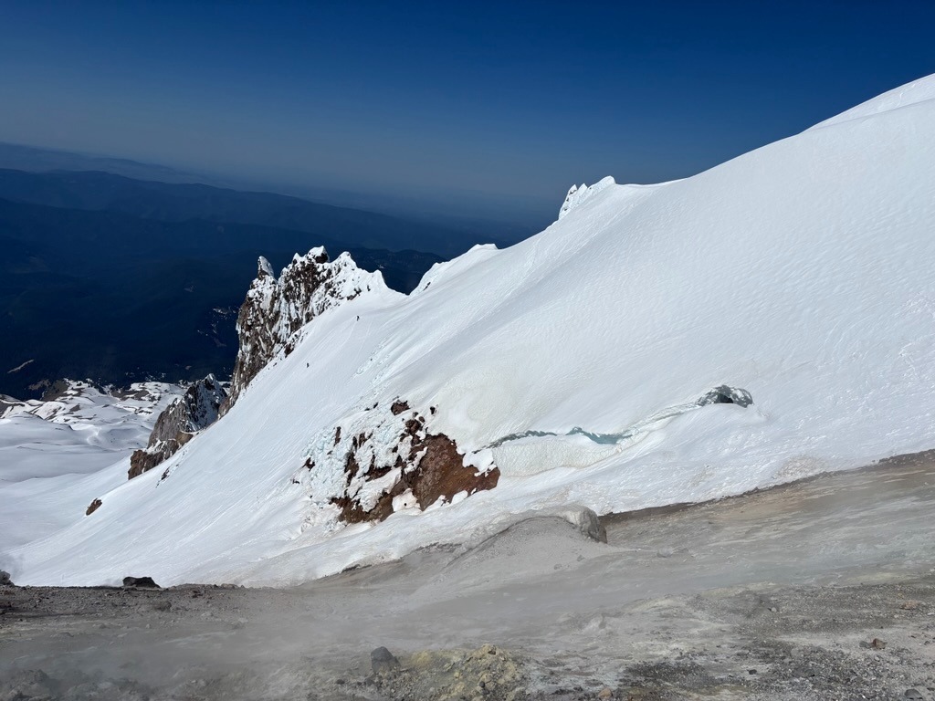
Mt. Hood is feeling the heat this week. While conditions are firm and supportable in the morning, the snowpack is still transitioning from dry to wet on more shaded aspects on the upper mountain. Large, skier-triggered wet loose avalanches from recent days on the Wy'East face are good reminders of this. South side climbing routes have seen a longer melt-freeze cycle and less wet avalanche activity in recent days, though icefall around the Old Chute has been active with daytime warming. Upper mountain conditions are decent right now with careful timing and aspect selection, but warming-induced hazards continue to emerge and become more widespread each day as the heat persists.
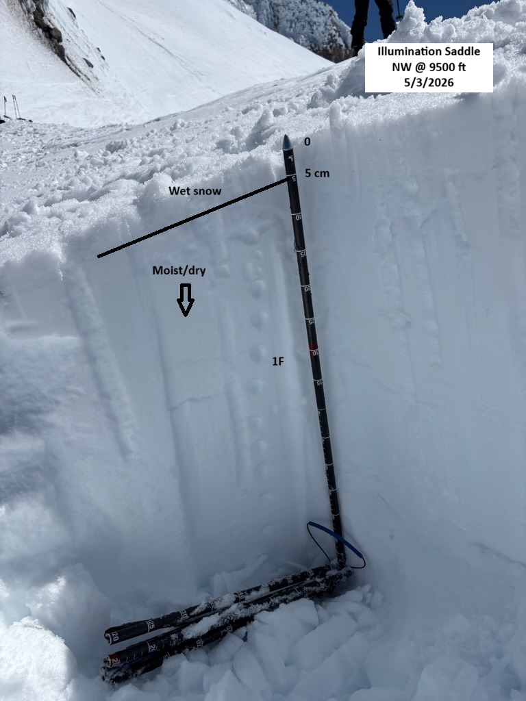
Wet snow instabilities seem to be most prominent on more shady aspects that are still transitioning from dry/moist to more isothermal-like.Weather
- Air Temp
- 50s-60s
- Cloud Cover
- clear
- Wind Loading
- none
- Recent Snowfall
- 0
- Snow Avail For Transport
- none
Avalanche
- Size
- D2 R2
- Type
- WL
- Aspect
- E
- Trigger
- AS
- Elevation
- 10000 ft
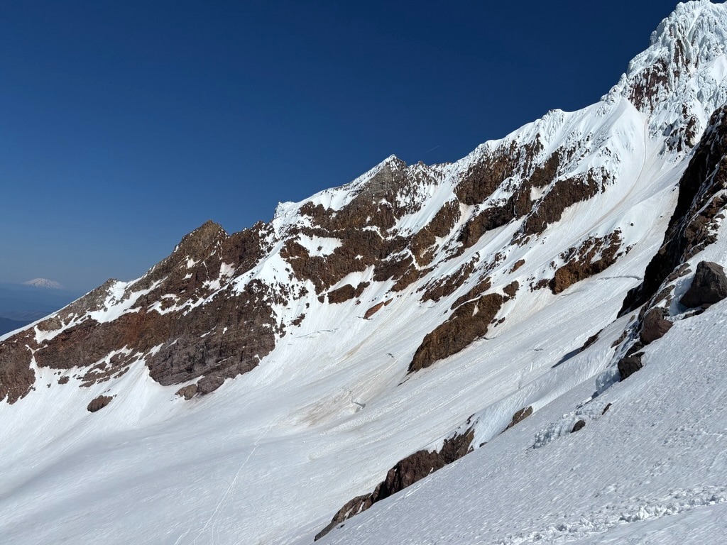
A couple of large wet loose avalanches on the Wy'East Face that appear to be possibly skier triggered based on adjacent tracks. These looked fairly fresh and likely ran in the past two days.