
Quick report
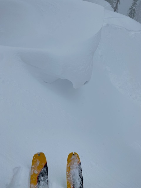
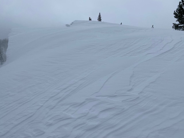
There was about 8" of new snow at the Yuba Pass trailhead when we arrived at 10 AM. It was fully overcast and snowing moderately (~1" per hour) as we headed for Lincoln Ridge. The new snow was light and dry, but we could feel the moist rain crust below from the storm's onset. The storm snow got progressively lighter above the rain crust, making for "right-side-up" storm snow. Above about 7200-7300 ft, the rain layer at the base of the storm snow became more of a dense snow layer. By 7500 ft, new snow amounts were closer to 10 to 12 inches. We saw no evidence of wind effect on the snow surface or slab cohesion until just below the heavily corniced ridge at around 7500', and even there, we found no significant slabs. The storm showed signs of dissipating during our tour, with the snowfall becoming intermittent and the sun trying to break through the clouds. Moderate to strong SW winds near the ridge top were transporting substantial snow. Around 12:30, the skies cleared, and the snow ended abruptly. Back at Yuba Pass, an additional 1" of snow had accumulated at the end of our tour. The storm clearing proved to be a temporary break, with the clouds and snow returning about an hour later during our drive back to Truckee.
Avalanche
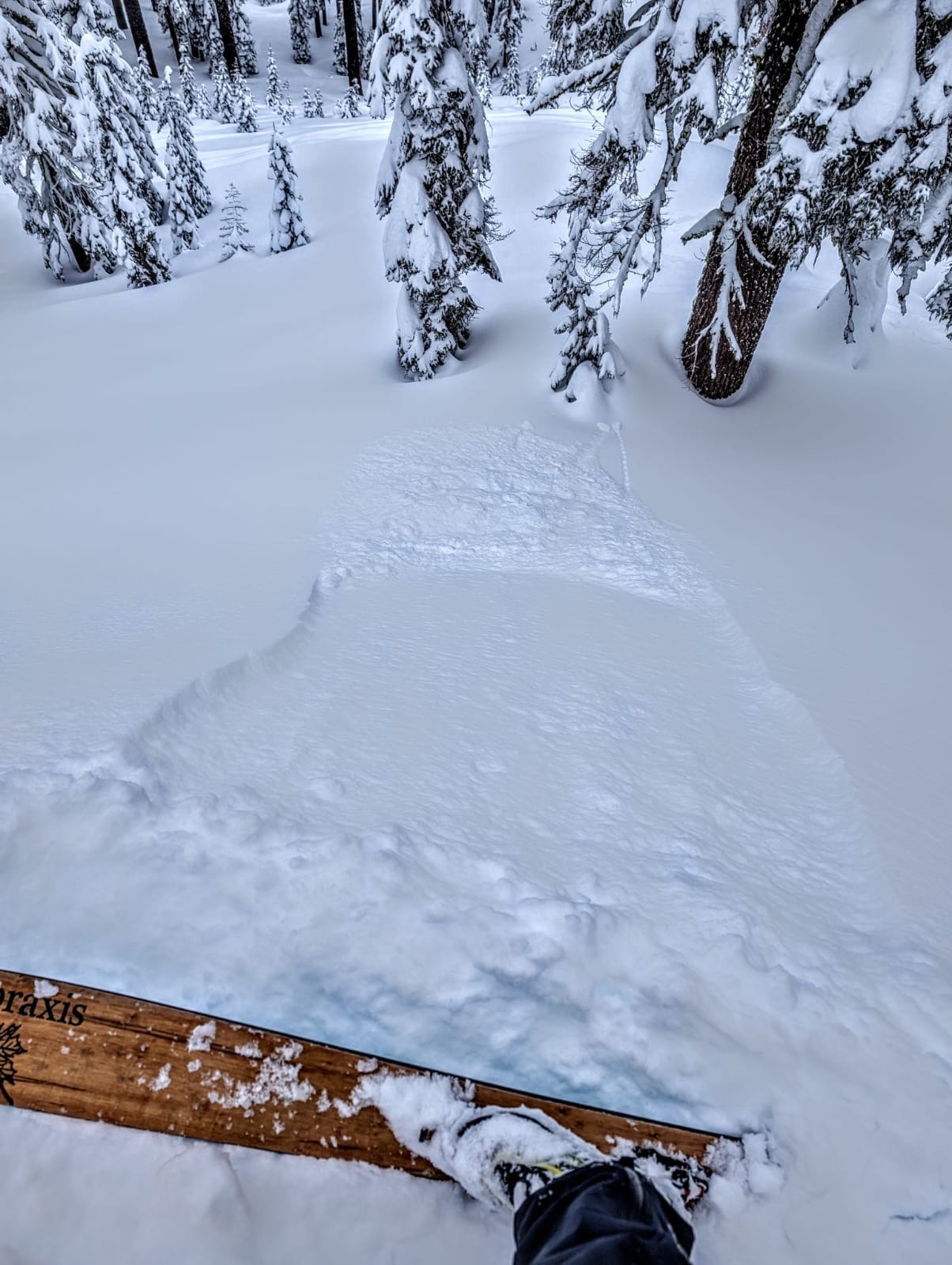
Ski kicks on steep test slopes triggered small dry loose sluffs. We also dislodged a microwave-sized cornice chunk that triggered a small (D0.5), shallow (~4") soft slab on the wind-loaded slope below.