
Quick report
- Cracking
- specific
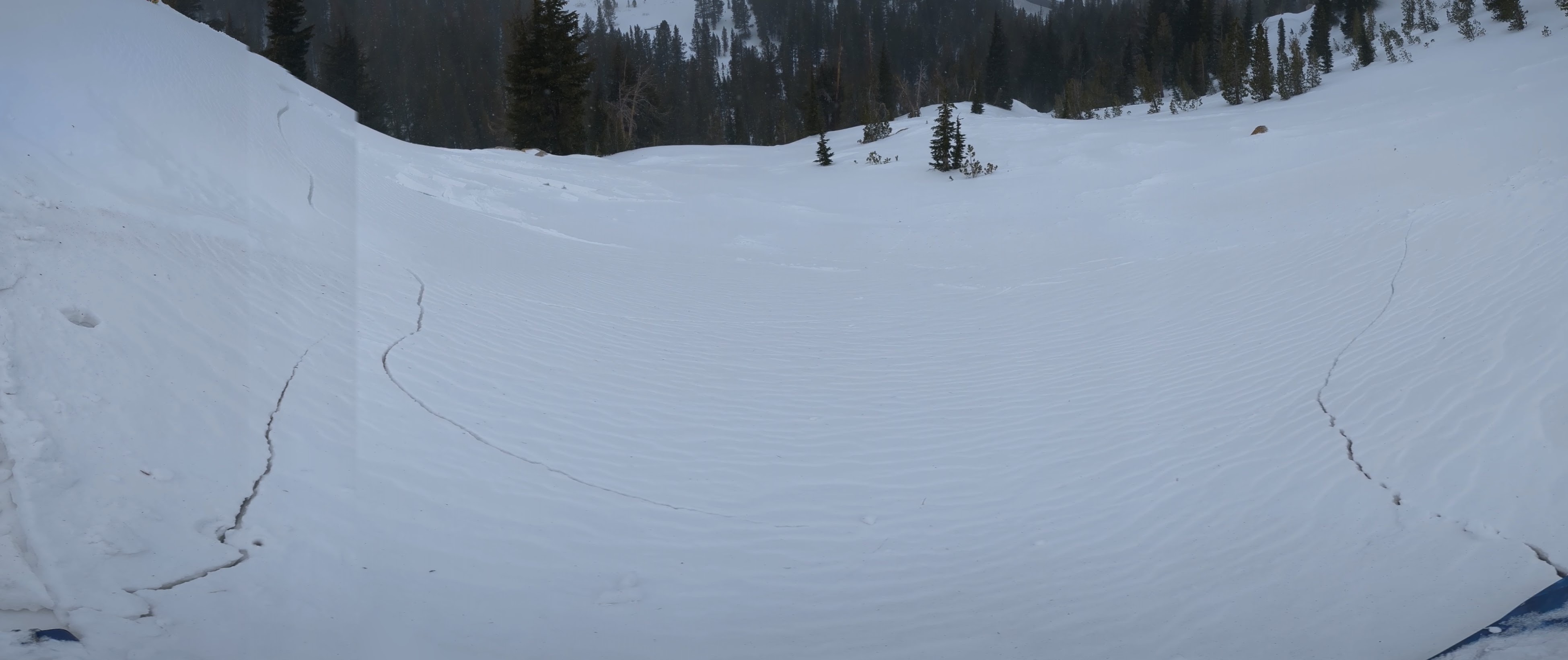
We ascended the Far East Ridge of Tamarack Peak this morning. We were planning to build some artificial slabs on top of the near surface facets at the old snow surface in order to perform some loaded PSTs. Mother Nature beat us to it and had already built a fresh wind slab of redistributed snow on top of the faceted old snow surface in specific areas near treeline.
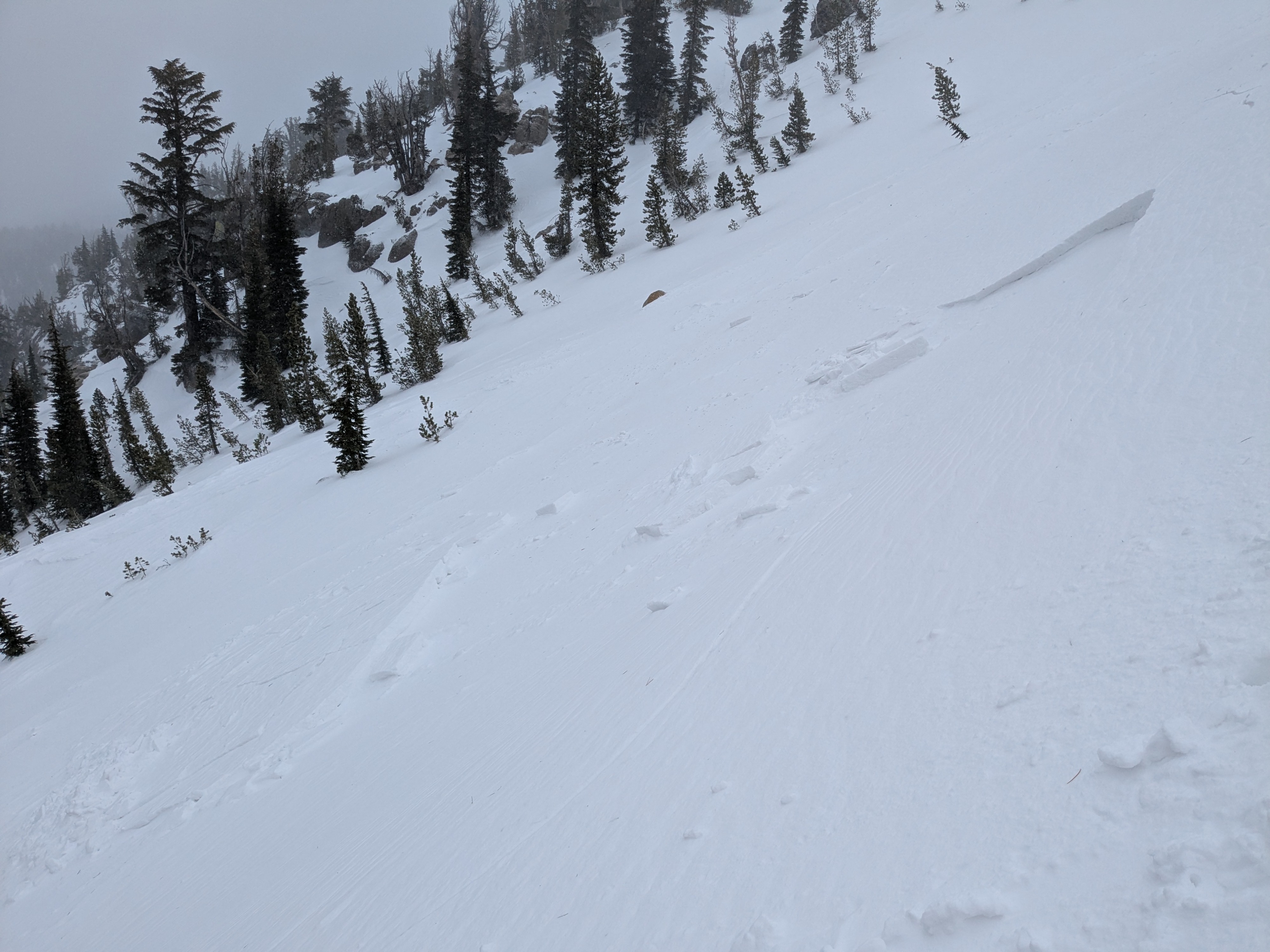
On a NNE aspect in near treeline terrain at 9,080' along the side of an avalanche path, we remotely triggered a D1 wind slab avalanche with long shooting cracks and a section of crown up to 1 foot deep. The slab was 1F- hard and was overlying F to 4F hard near surface facets. We found this type of unstable wind slab formation in two areas. One avalanched when we intentionally triggered it and the other smaller slope cracked full width, but did not avalanche when we triggered it. This occurred very early in the storm with less and 1 inch of new snow, but substantially more wind drifted old snow.
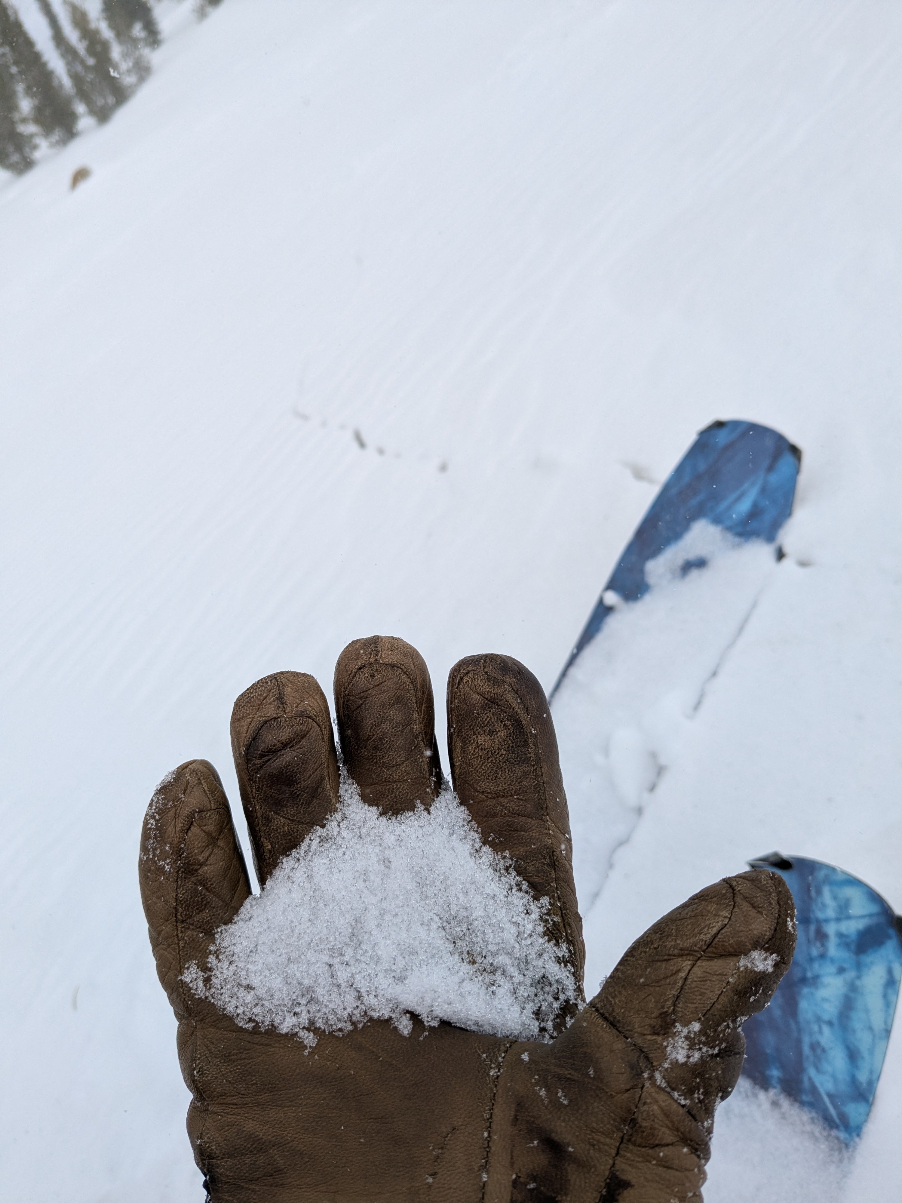
Across other N-NE-E aspects at and below treeline we saw the same weak near surface facets comprising the old snow surface in numerous areas, but without an overlying slab of either new or wind drifted snow. This is expected to change as the storm progresses and a slab of new snow forms on top of these weak near surface facets in more widespread areas.
New wind slabs, formed by redistribution of snow on the ground, were failing on the faceted old snow surface.Weather
- Air Temp
- 35
- Cloud Cover
- overcast
- Wind Loading
- moderate
- Recent Snowfall
- 2
- Snow Avail For Transport
- moderate amounts
Snowfall began around 9:45 am along the Mount Rose Highway. Air temperatures were on a gradual warming trend. Driving down in to the Lake Tahoe Basin at 12:45 pm it was still snowing at 6,200'. Driving to Truckee over Brockway summit, snow turned to rain at 6,200' as we descended into Martis Valley.