
Weather
- Cloud Cover
- broken
- Wind Loading
- none
- Recent Snowfall
- 0
- Snow Avail For Transport
- small smounts
Mostly cloudy skies with calm SW winds.
Snowpack
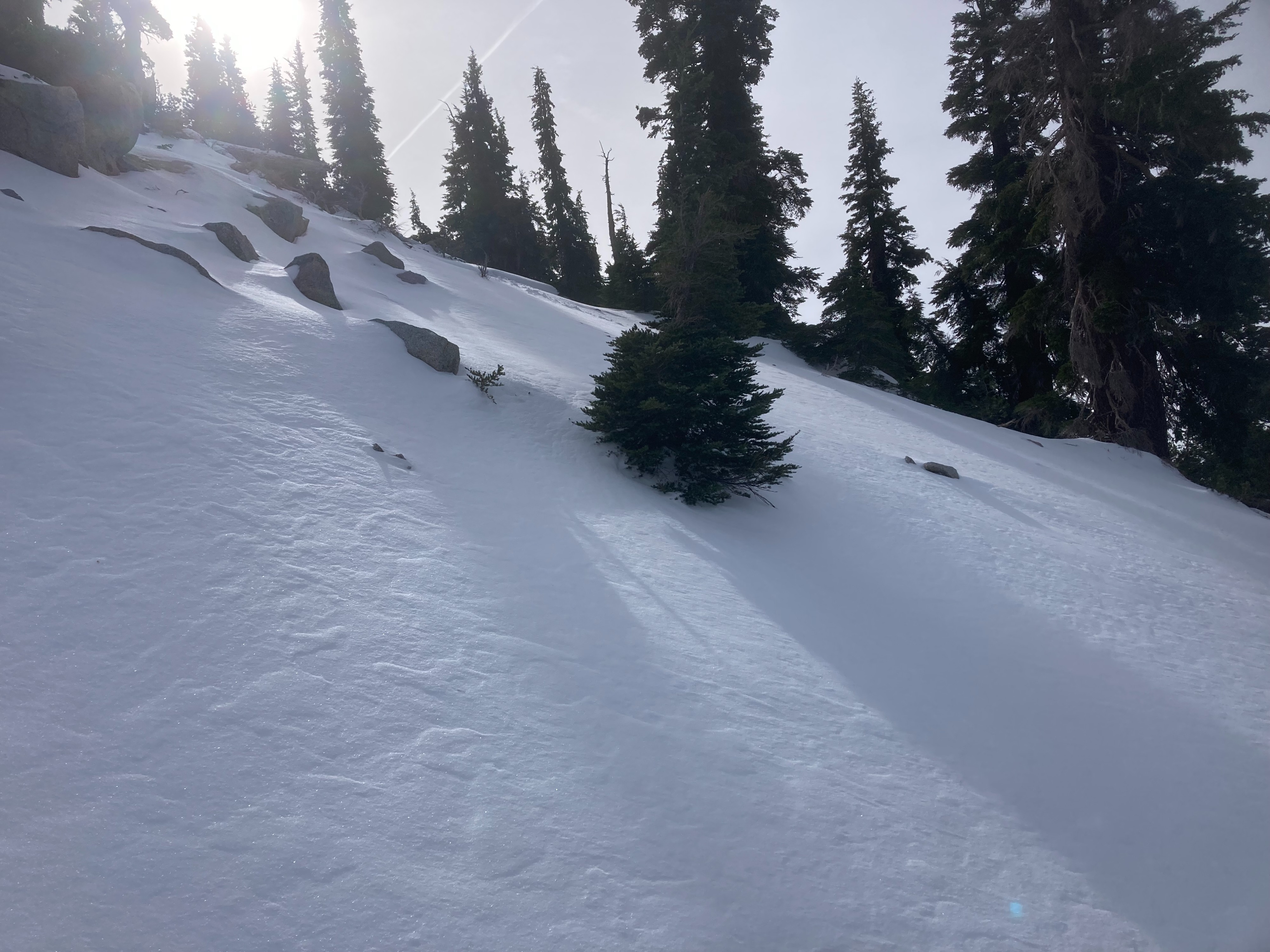
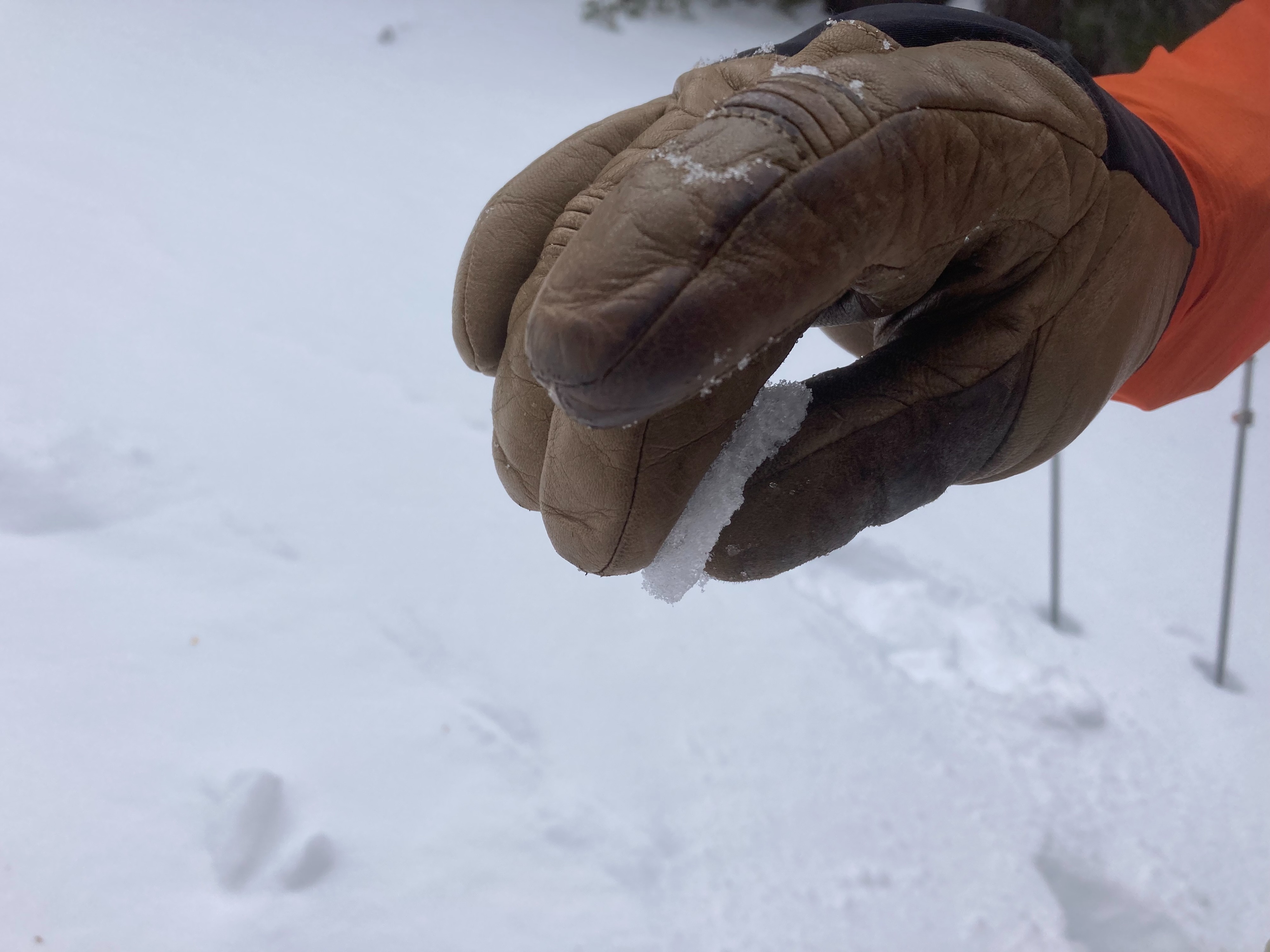
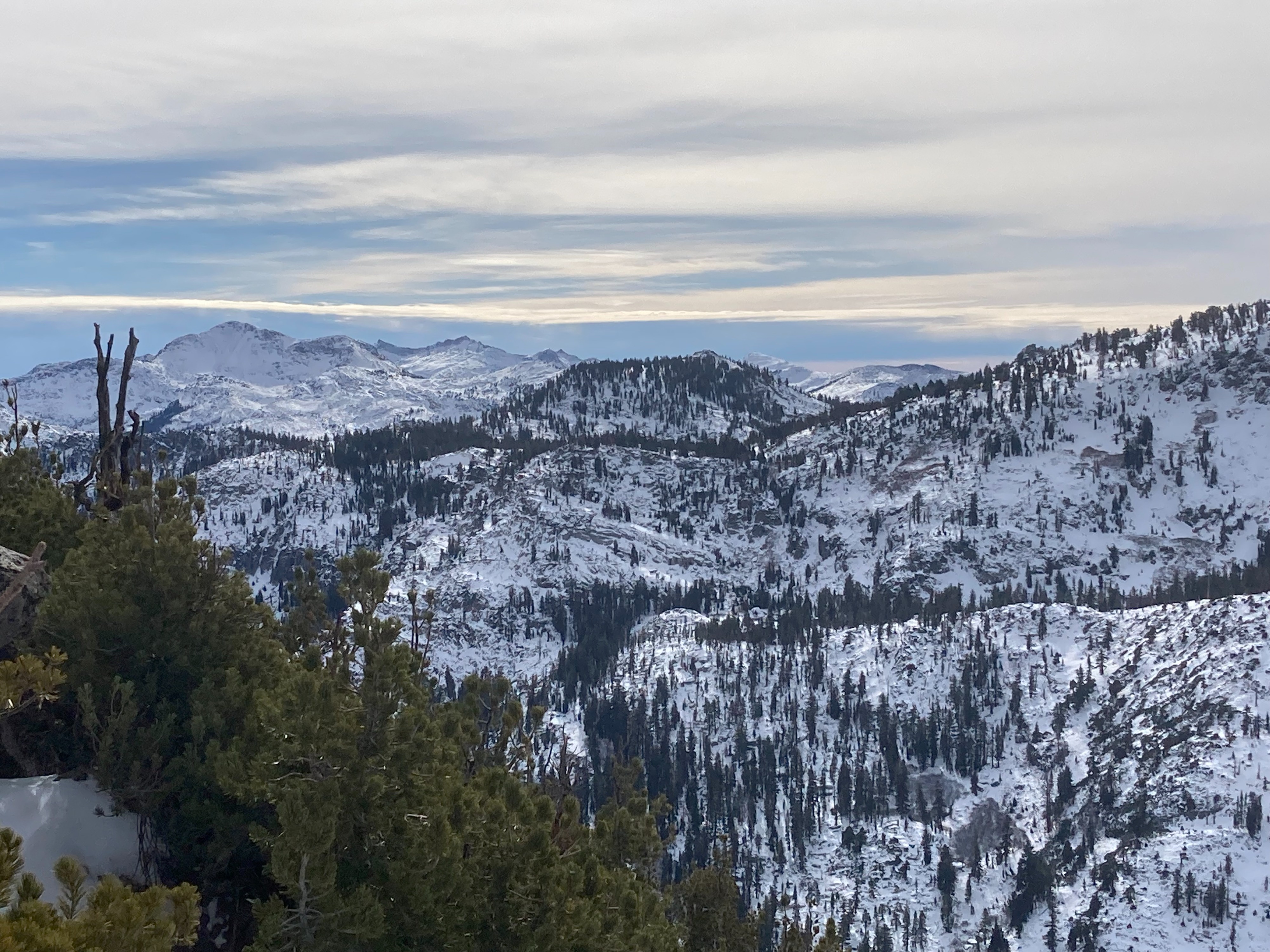
We made observations on Rubicon Peak today. We wanted to look at the snowpack structure along the Sierra Crest at different elevation bands. Snow coverage increases above 7500' with up to 1 to 2 feet of snow on northerly aspects. The rain that fell on Sunday created a rain crust that was buried early morning on Monday Nov 18. This rain crust existed all the way up to the top of the peak at 9000'. Weak faceted snow has formed around the rain crust producing consistent unstable snowpack test results. The base of the snowpack also continues to have weak faceted snow from early season storms in October. These weak layers could become problematic if larger storm loading events occur this week.