
Quick report
- Collapsing
- isolated
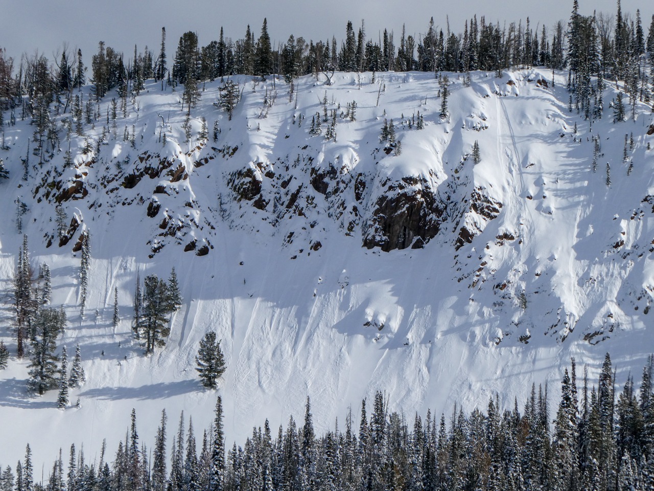
I observed small storm snow instabilities, including wet loose, dry loose, and storm/wind slabs. The January drought layer was nearly 3' deep and would be hard to trigger, but the resulting slide would be large.
One localized and shallow collapse under a recent wind slab.Weather
- Air Temp
- mid-20s
- Cloud Cover
- broken
- Wind Loading
- previous
- Rain Elevation
- n/a
- Recent Snowfall
- 25-35 cm since 2/13
- Snow Avail For Transport
- large amounts
Some blowing snow on ridgetops lee to W wind. More sun than expected. Broken cloud cover from about Cabin Pk and Pole Ck south. It appeared mainly overcast to the north.
Snowpack
I found 25-35 cm of storm snow since 2/13, which did not produce any significant cracking or obvious shears in hand pits, stomping around or in pits.
The 2/6 interface was ↓ 50 cm and also produced no results.
The 1/31 was ↓ 85-95 cm. On a SE it presented as a 5 cm thick melt-freeze crust with some facets and percolation columns below (ECTX). On NW it presented as small facets that were rounding and gaining strength (4F+, ECTX, PST 60/100 END).
Avalanche
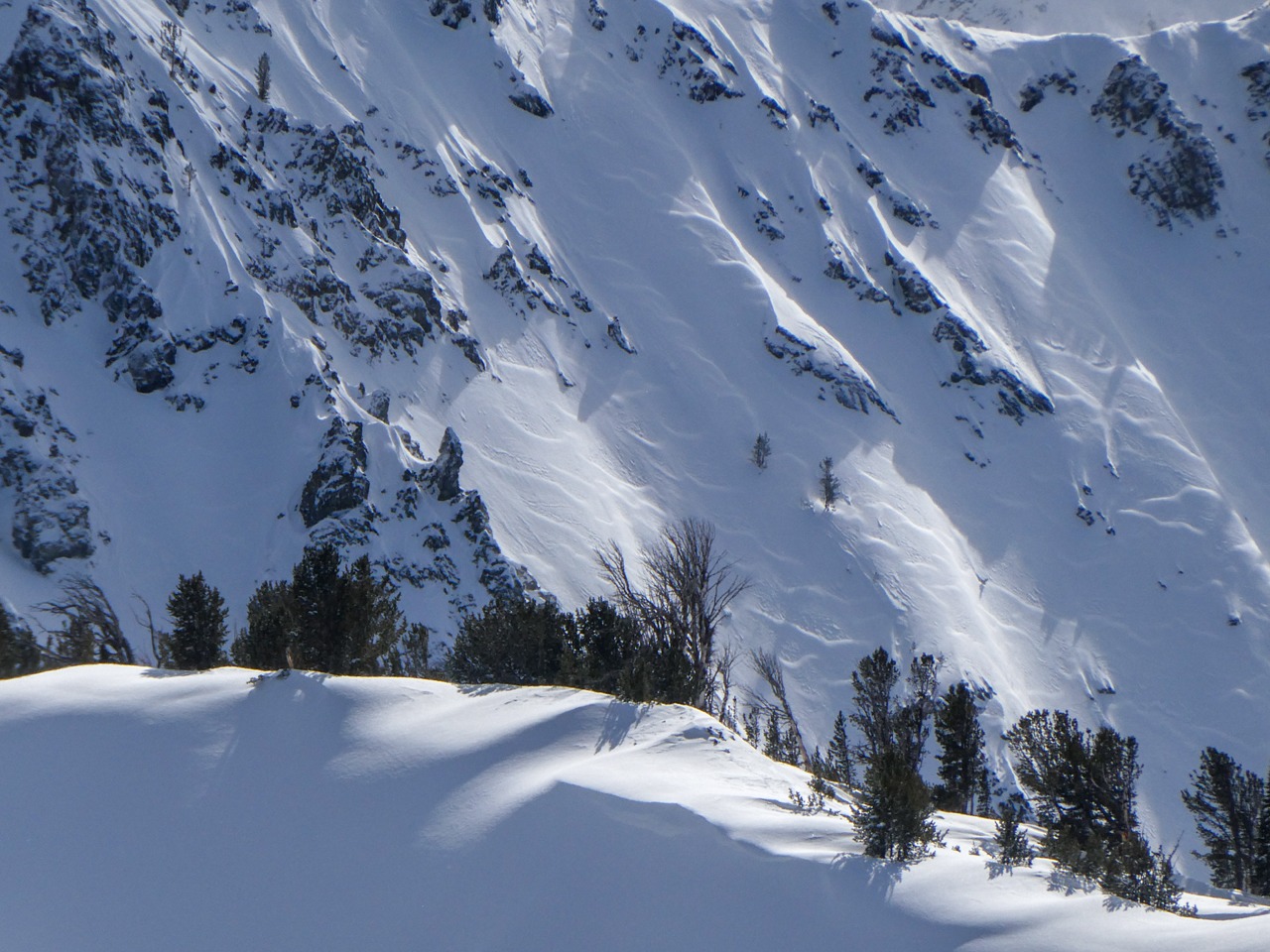
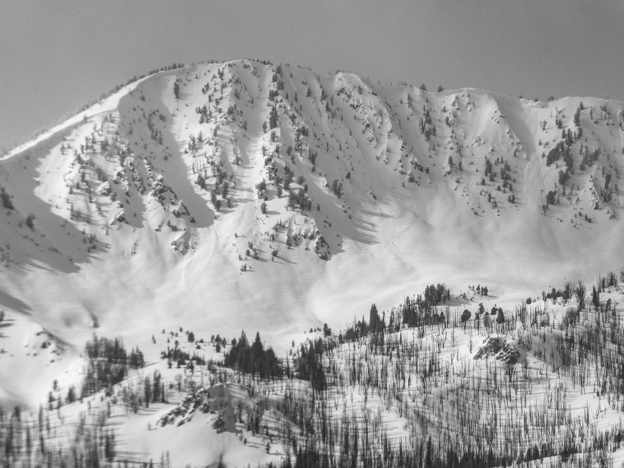
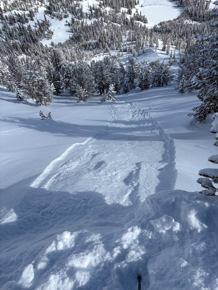
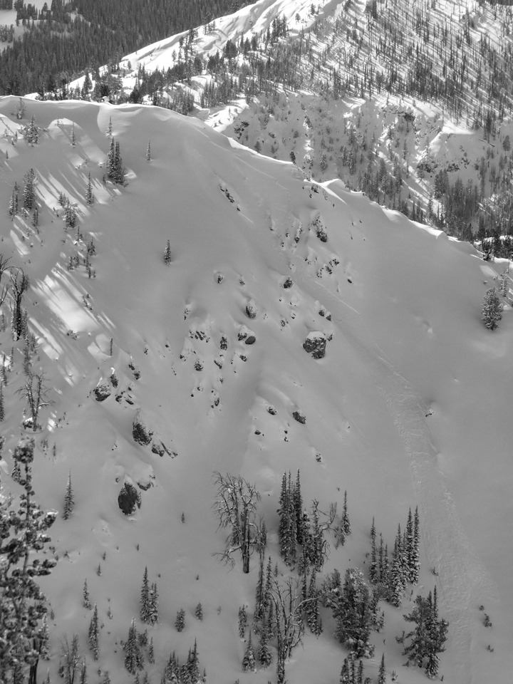
A few small storm/wind slabs and several small dry loose. One larger wet loose near Lightning Pk in the Boulders. I triggered some small dry loose with cornices.