
Quick report
- Cracking
- widespread
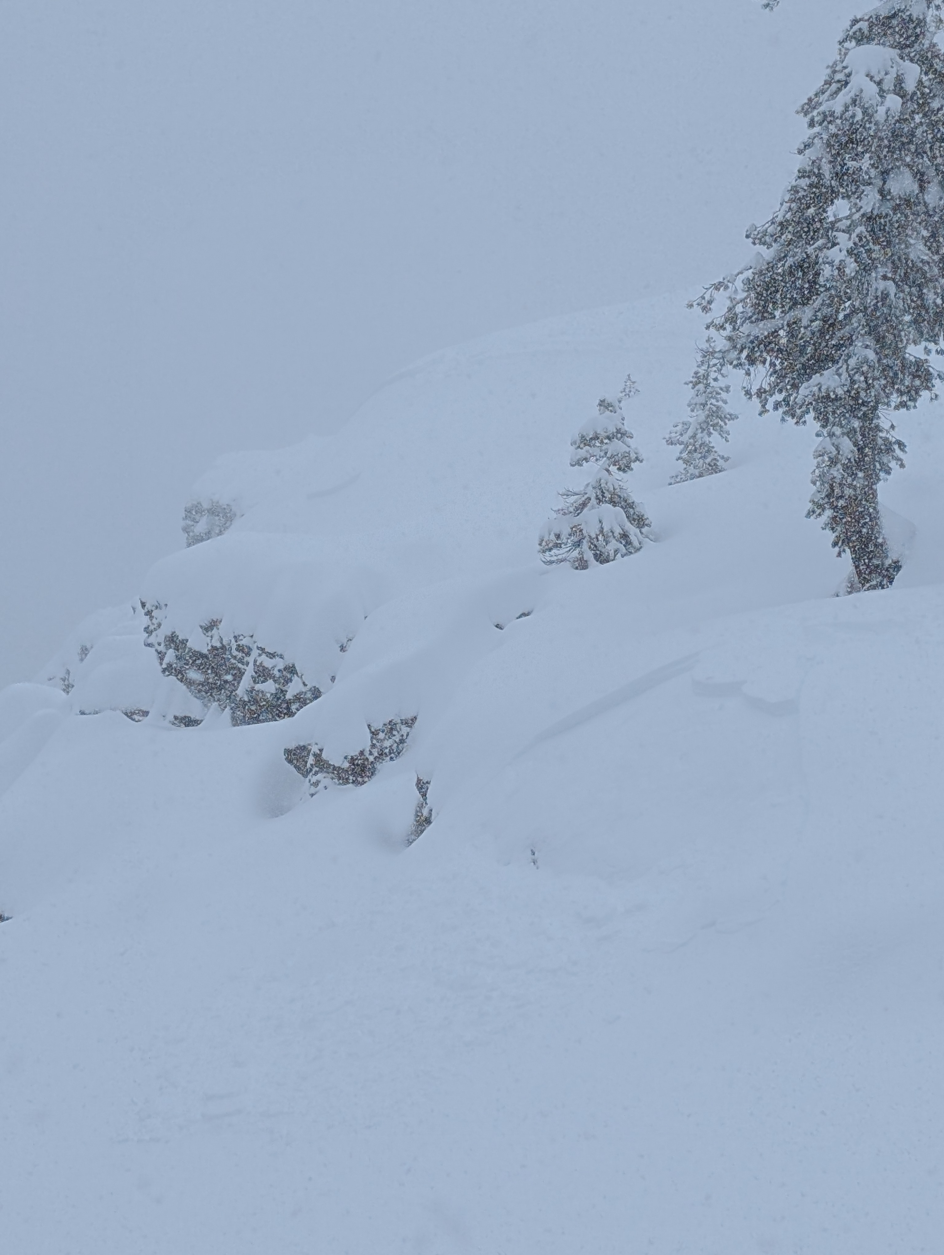
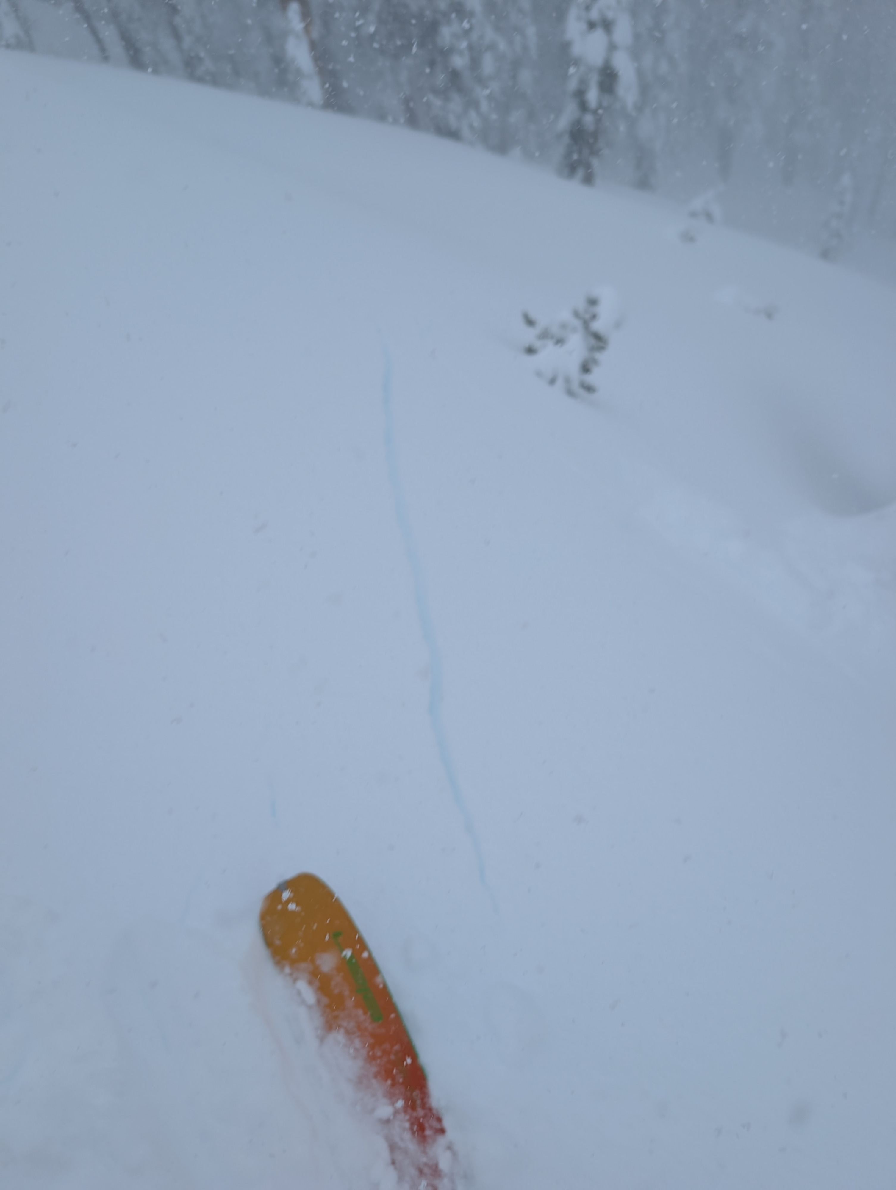
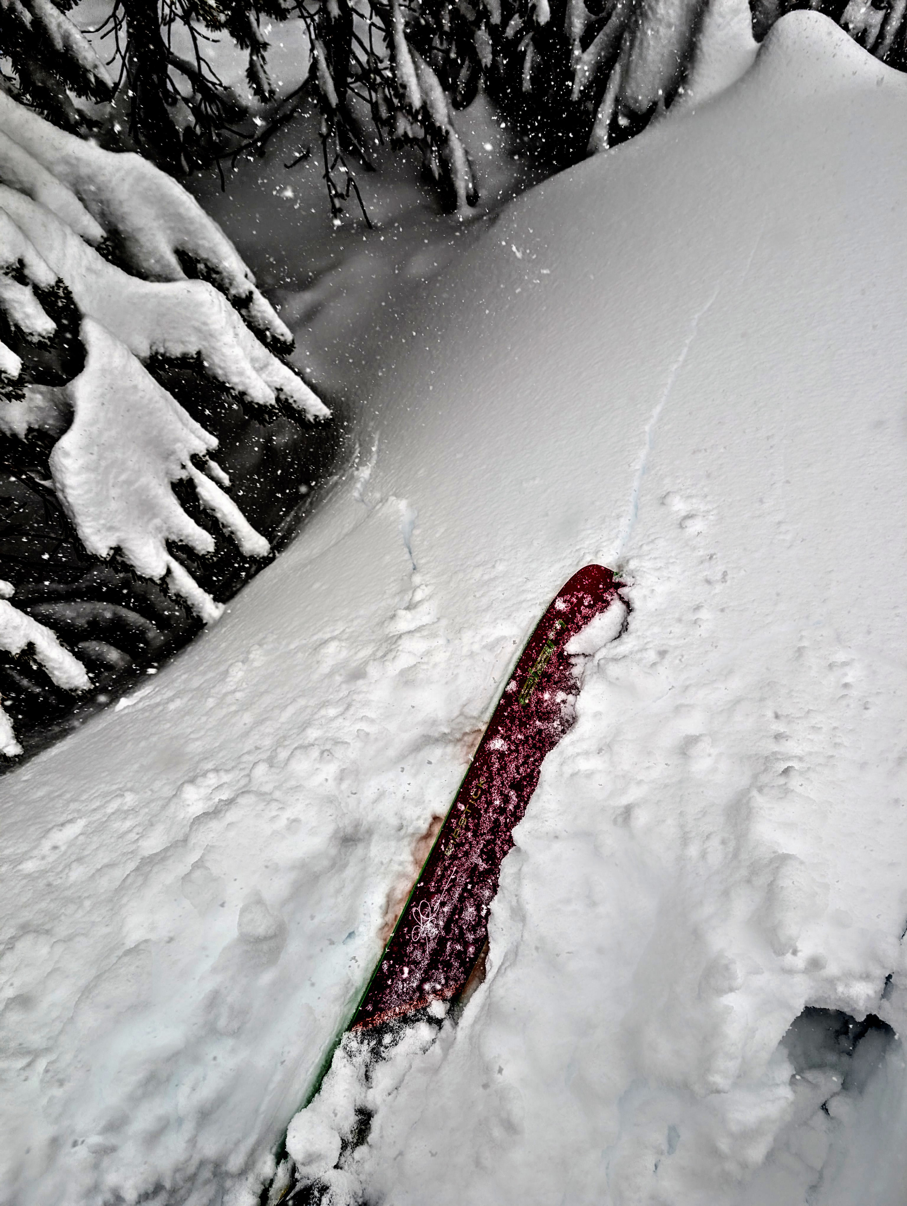
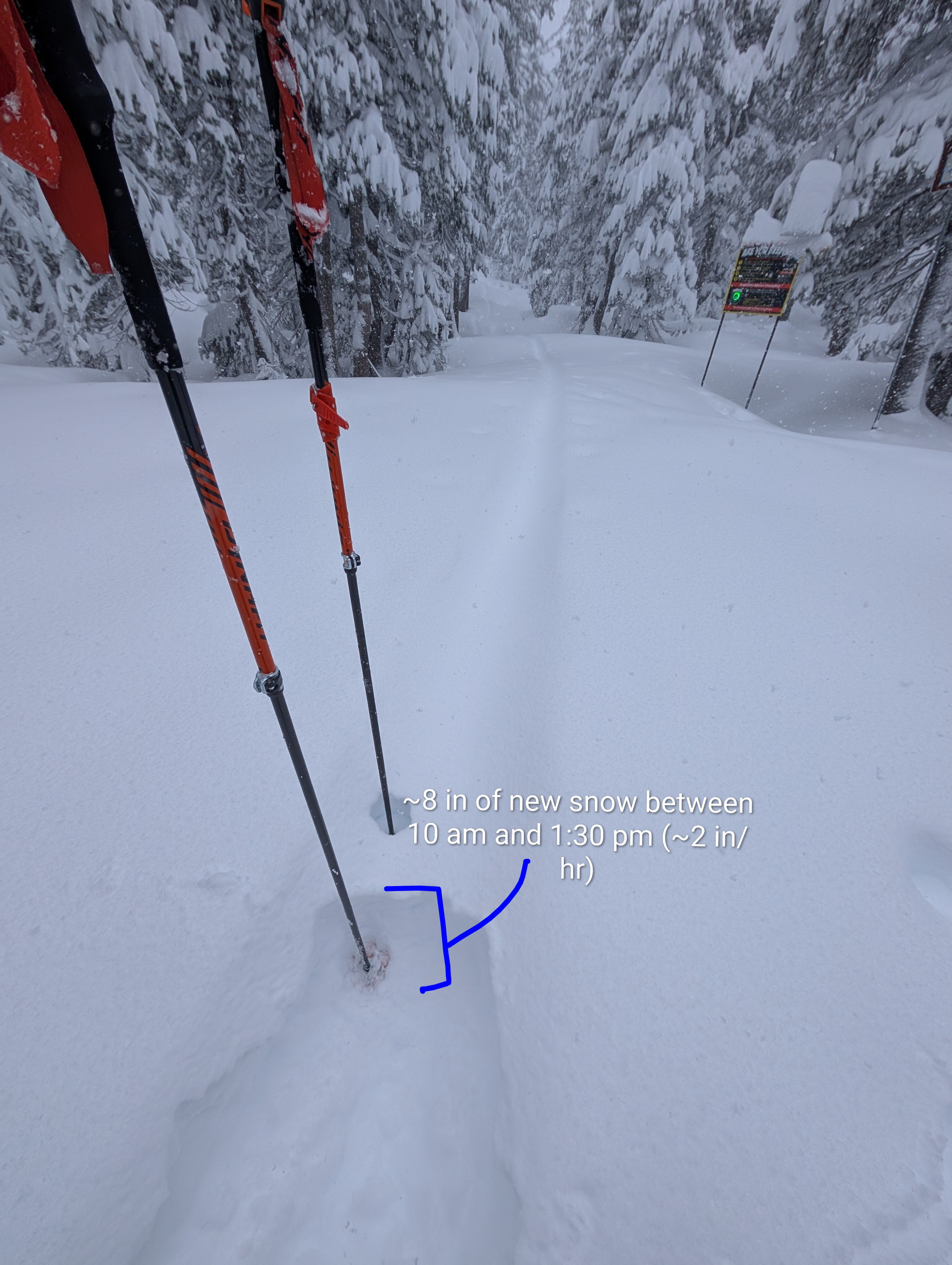
Snow falling at about 2 inches per hour and blowing snow along the ridges and in exposed areas limited visibility, but signs of unstable snow were still easy to find. We triggered shooting cracks while skinning and failures on test slopes with ski kicks from the beginning of our tour. These signs of instability reinforced our plan to stick to low-angle slopes and ridges and avoid traveling on steeper slopes. Still, we triggered several storm slab avalanches with ski kicks in flatter terrain above the avalanche paths. The signs of instability existed across a variety of aspects and elevations in both sheltered and wind-exposed areas. Variations in the storm had created weaknesses in the snow, and the snow was accumulating fast enough to overload them. When we dug into the snowpack at one point we found about 24 inches of new storm snow resting on top of wet old snow. Observations indicated that the old wet snow was bonding to the base of the storm snow, and that the primary concern was within the storm snow. This snowpit data matched well with other observations (cracks, avalanches, test-slope failures).
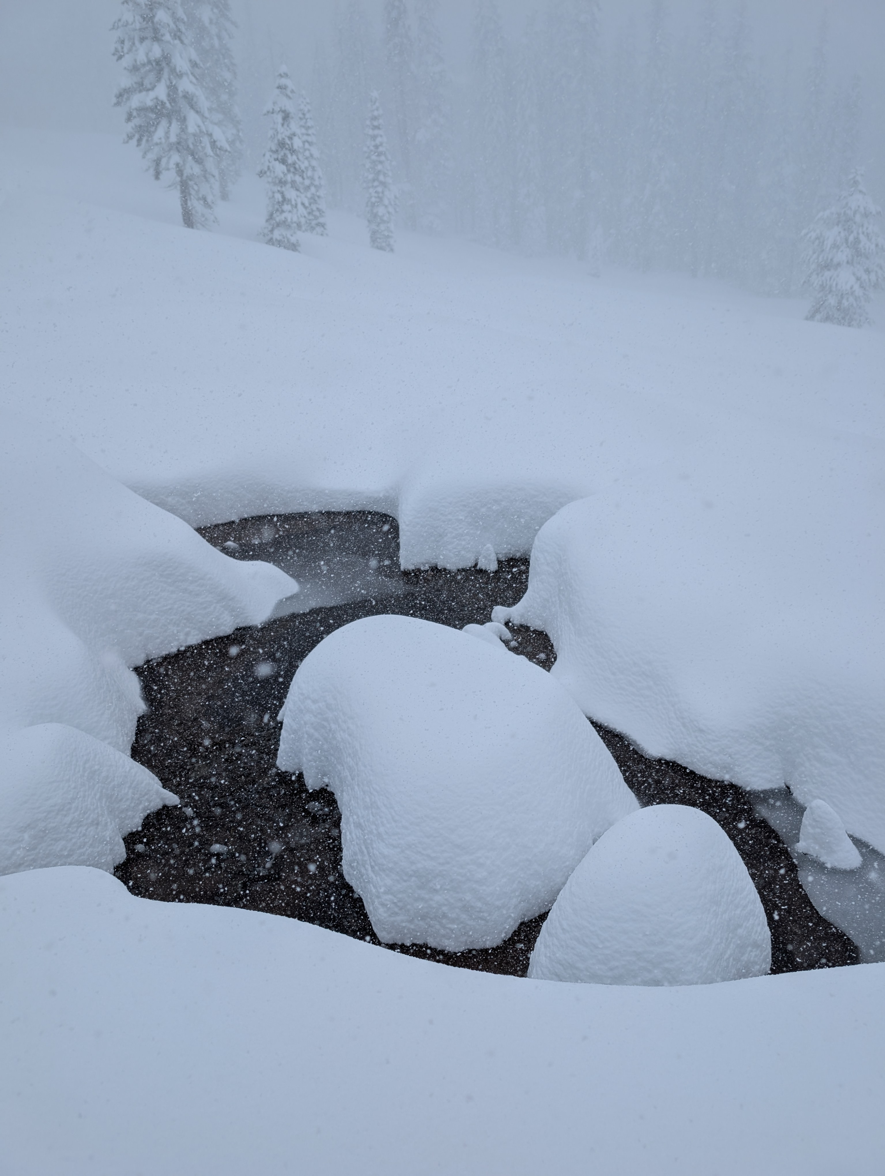
After ascending Andesite Peak via low-angle slopes and ridges, we ended up shuffling back down low-angle slopes through deep, soft snow. Then we had to break trail back out our old skin track since it had refilled with snow. Several areas still have open water beneath the new snow on the Castle Peak Road, and a few of these still remain open.
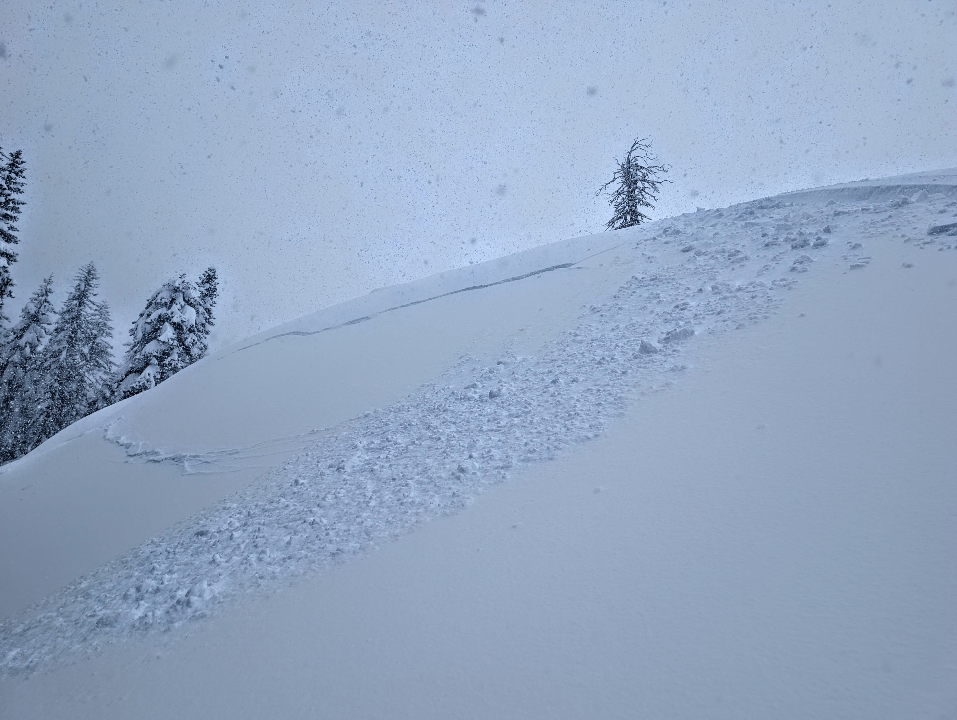
We saw shooing cracks on a variety of aspects and elevations during our tour. We also triggered several storm-slab avalanches and test-slope failures with ski kicks on the snow in nearby lower-angle terrain above or near steeper slopes.Weather
- Cloud Cover
- overcast
- Wind Loading
- moderate
- Recent Snowfall
- 50 cm
- Snow Avail For Transport
- large amounts
Consistent snowfall at about 2 inches per hour today allowed storm totals to reach the high end of forecasted amounts in this area (20 to 24 inches so far). Moderate to strong SW winds persisted along the ridges, and temperatures remained cold.
Avalanche
- Size
- D1 R4
- Type
- SS
- Count
- 4
- Aspect
- E
- Elevation
- 7660 ft
Human-triggered storm slab avalanches occurred on a variety of aspects and at a variety of elevations. The largest ones occurred on wind-loaded slopes, with smaller ones in sheltered areas. The slab was a slightly denser layer of storm snow, and the weak layer was a softer layer of storm snow about 6 to 12 inches below the surface.