Kokanee Peak
natjsegal,
Sunday 22nd December, 2024 12:00PM
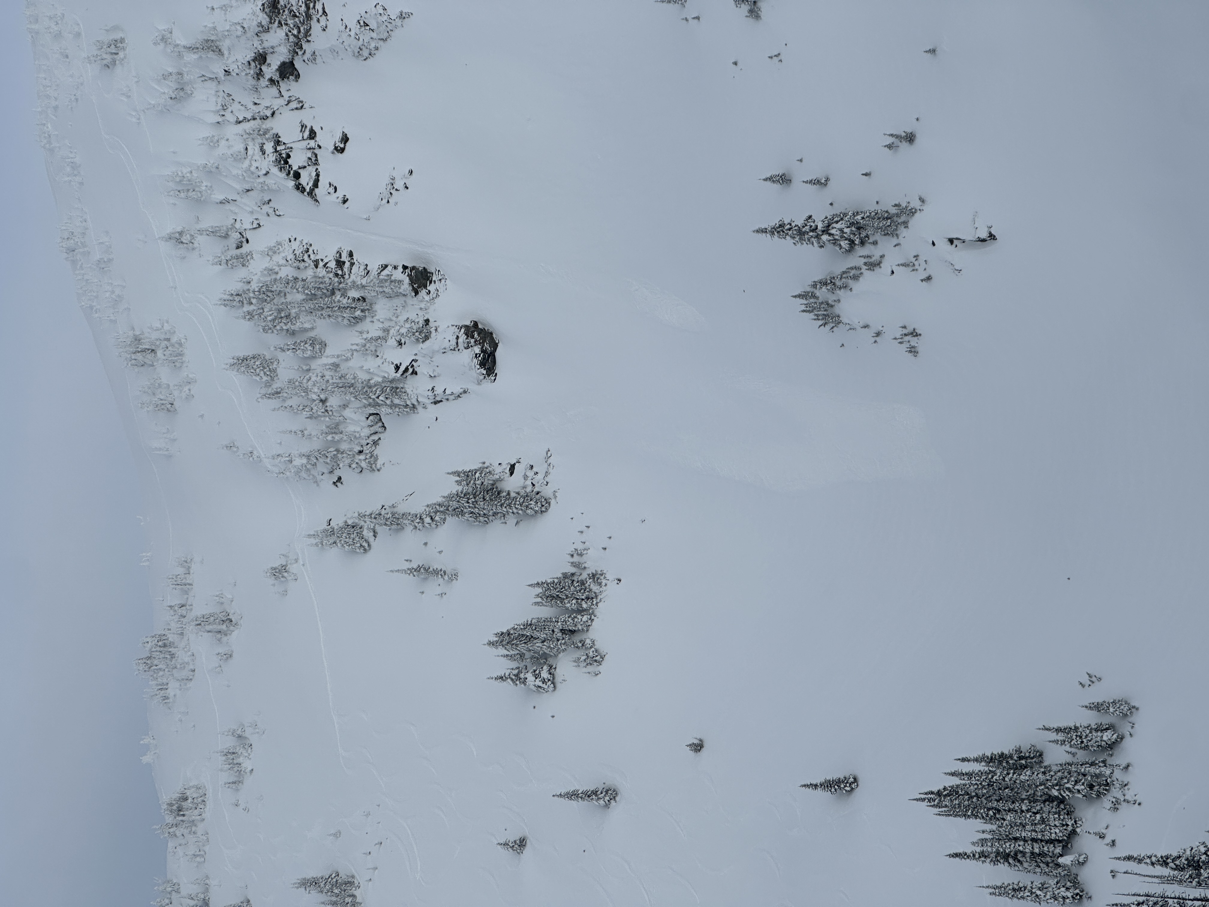
Went for a walk to Kokanee Peak with no set goal in mind. Walking out from the ski hill above Montana trees there was some wind affected slopes on the south and westerly aspects .
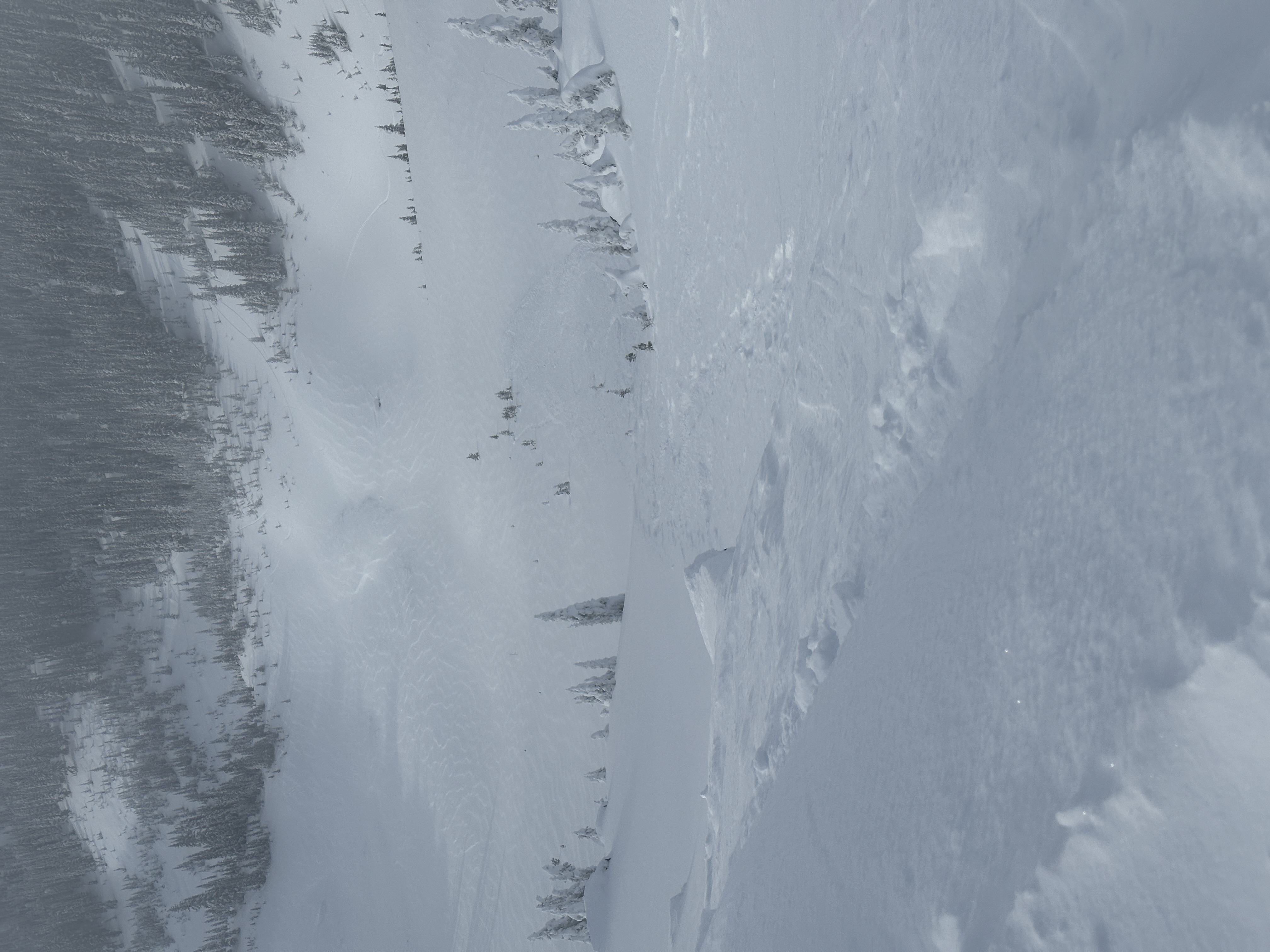
Skied from Goat drop, 10cms of snow and wind from Saturday had filled in most of the tracks. Top 10-15cm was soft and light and felt supportive. No signs of instability overnight except a few small point releases that appeared to be Na on Roscoe’s // steeper NW skin track up to Kokanee ridge. Obvious wind affected conditions on SW- SE slopes below Montana peak.
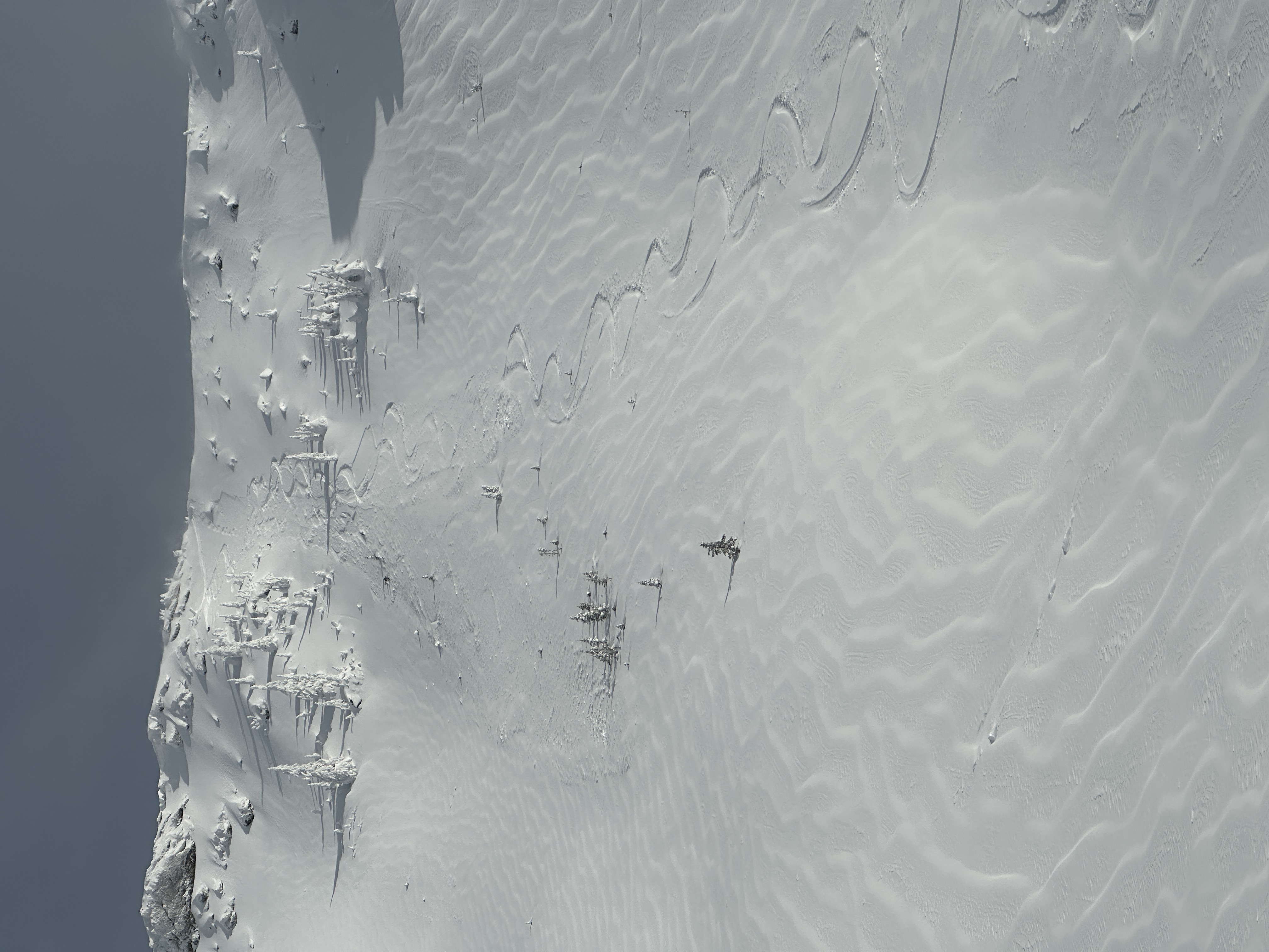
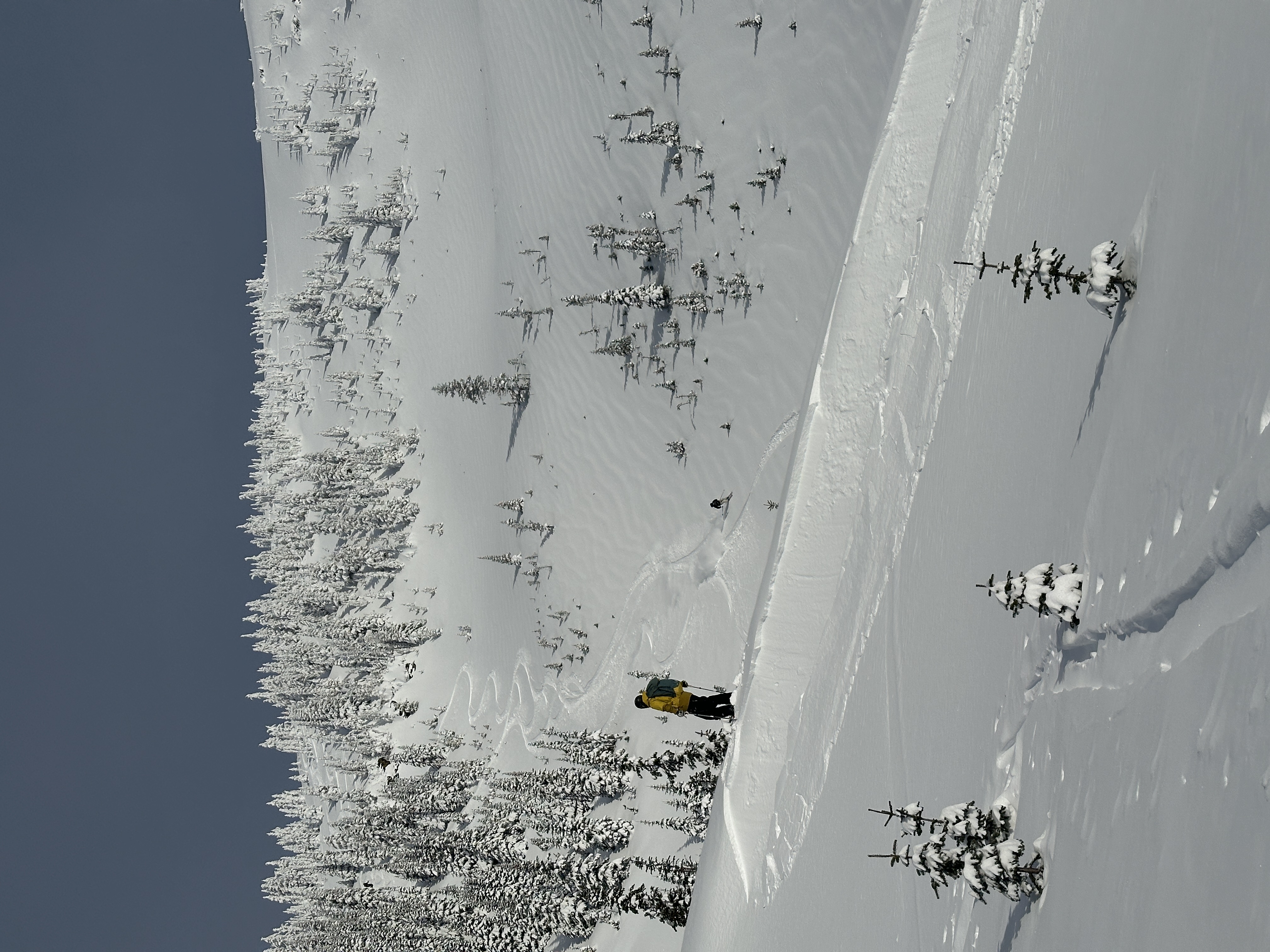
Toured up Roscoe’s, snow had filled in the previous up track and covered some natural size one avalanches that had released from rocks on skiers right of the track. Decided to walk up to Kokanee peak. Snow was wind affected on south to westerly facing slopes. Touring on these aspects, the wind affected snow seemed to only be 5cms down and ski pen approximately 15cm. Winds increased rapidly up around 12pm. Skied a SW facing line after cutting a small cornice, which released the top 5cms, followed by a ski cut that had no results. Snow felt supported but the wind slab felt thicker on the lower, flatter aspects on SW- W. Short period of atrong, cold gusts by the time we turned for home N-NE.
Good day poking around. On the way back into Montana bowl most S- NE aspects had been skied with no major avalanche activity except a point release around the steep SW rocky slopes below Montana Peak.
Location: 50.94627740 -118.07078776