
Quick report
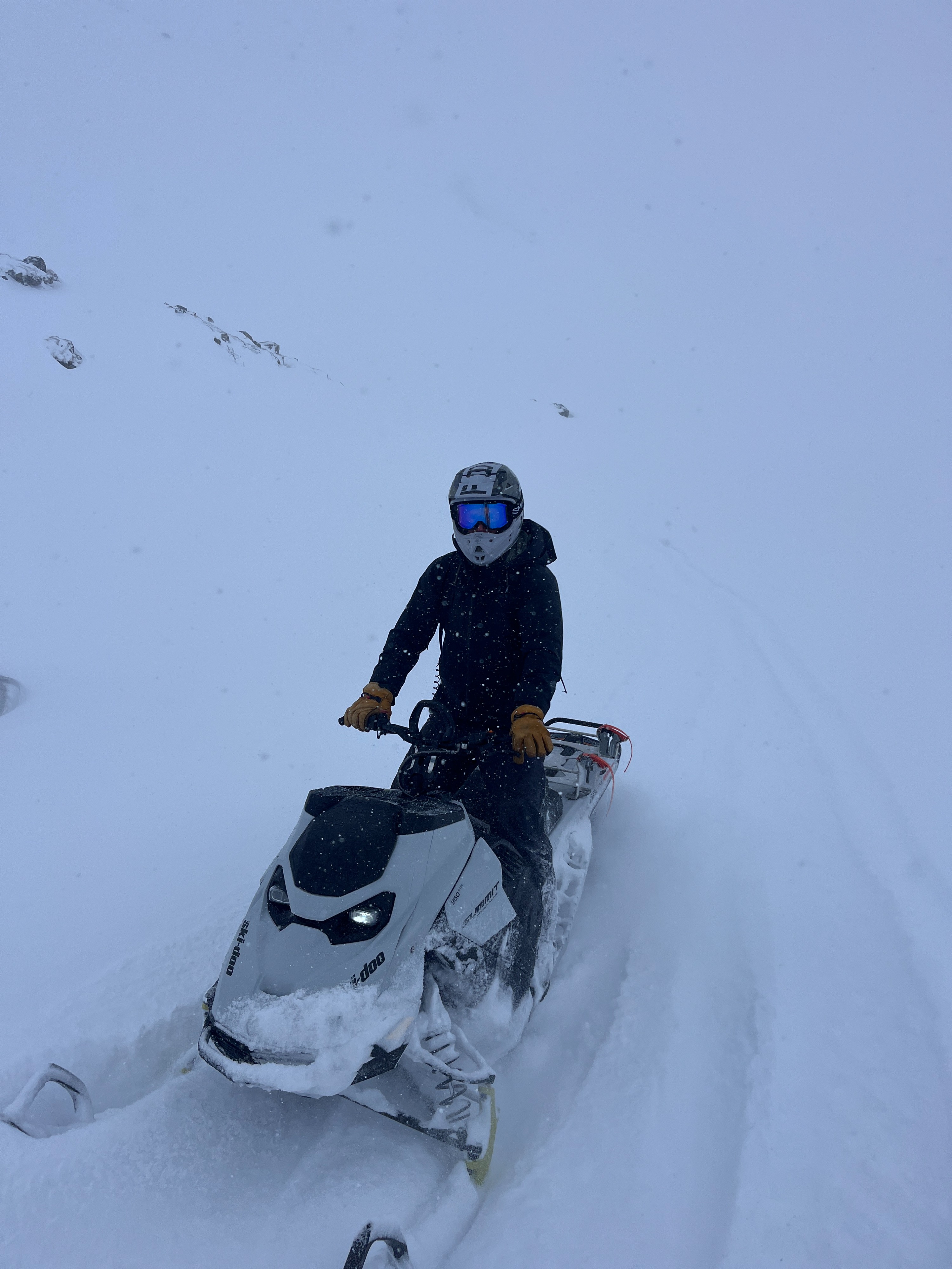
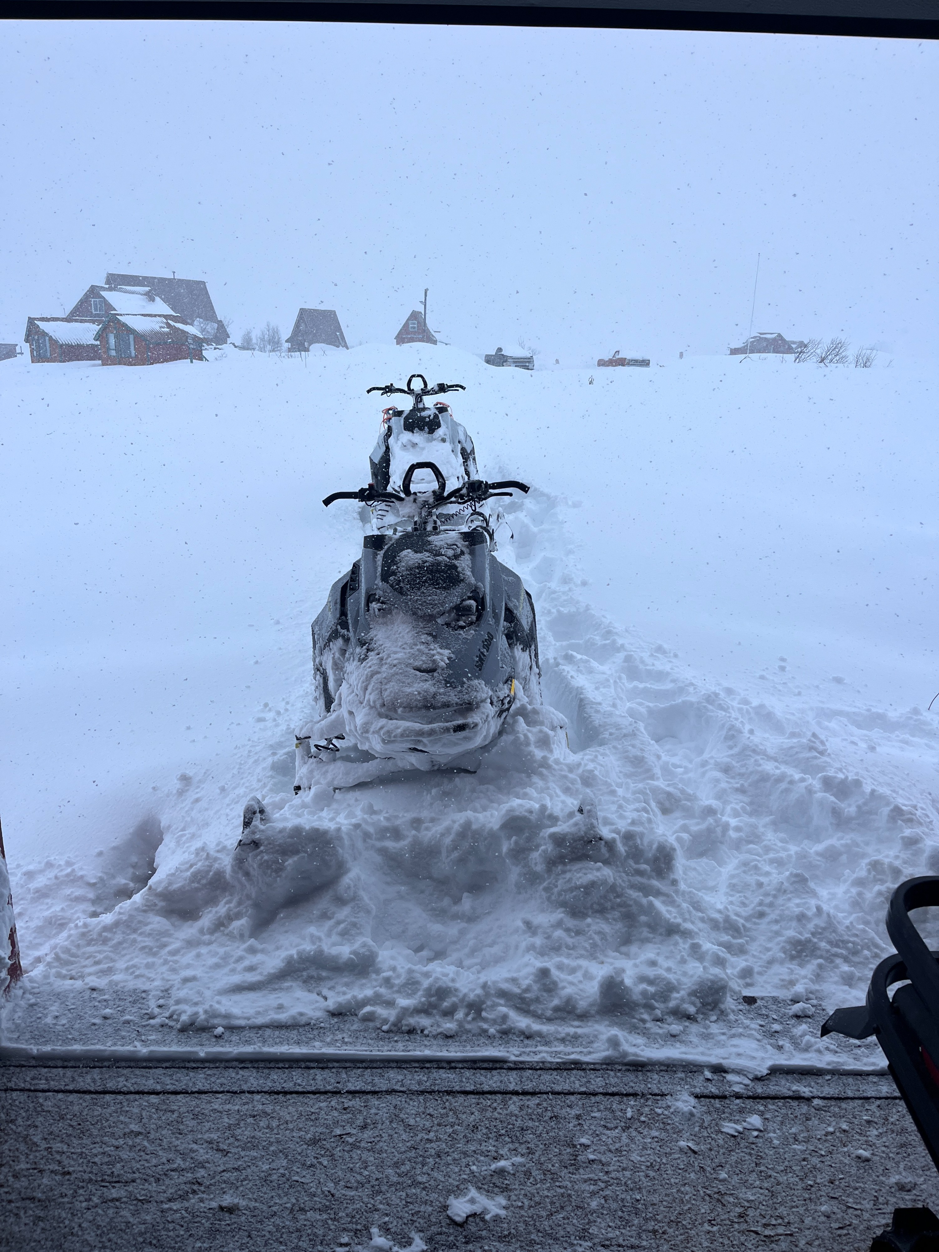
With a hint of visibility, we took the snowmachines on a tour of the Willow Fishhook Road, looking for new snow and avalanches. The wands provided by Hatcher Pass Snowriders were our saviors and often offered the only navigation amidst a sea of limited definition.
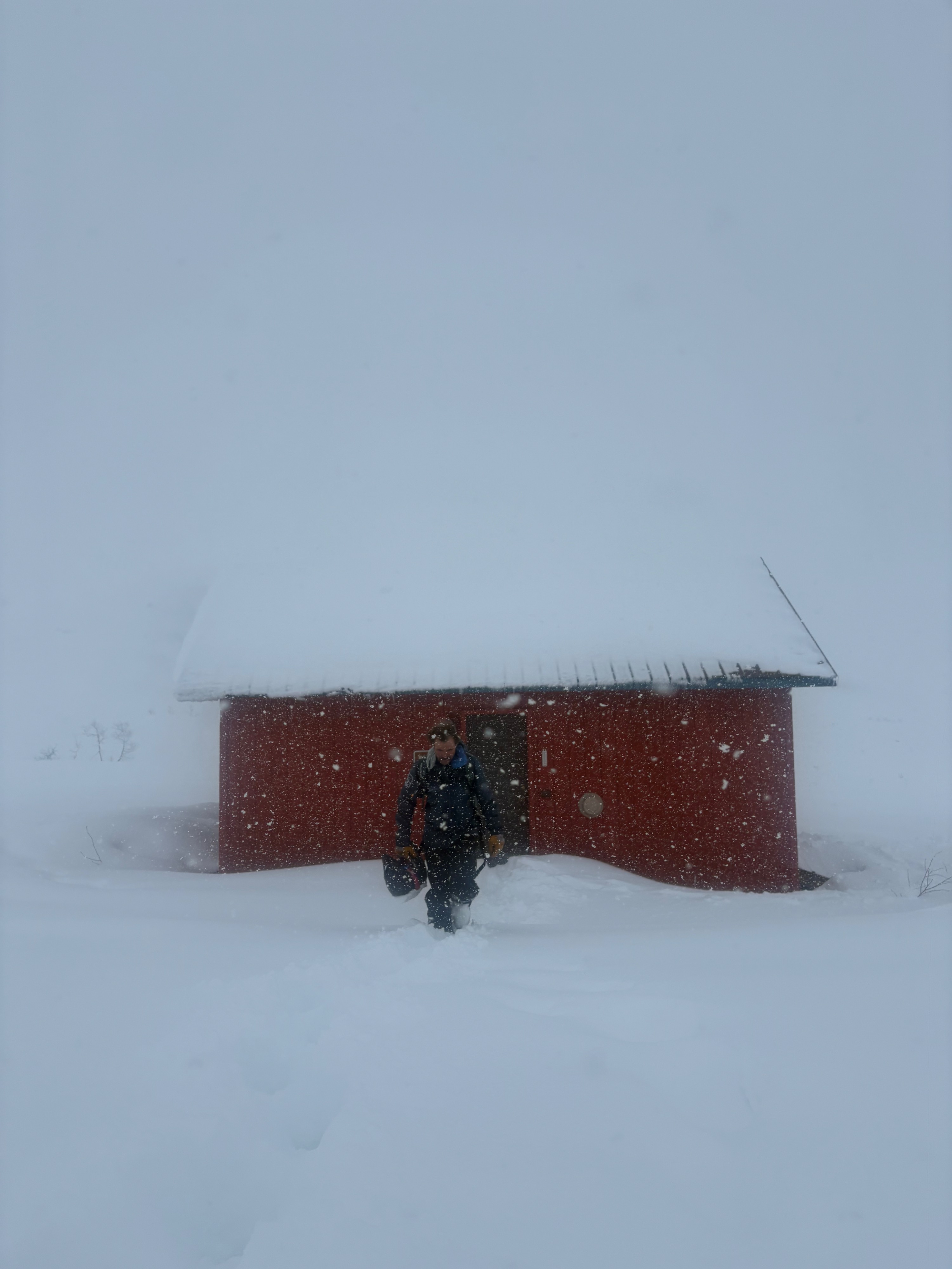
At upper elevations, we observed strong winds and blowing snow. At lower elevations, winds were calmer, and snow showers were intermittent and moderate. By about 3 pm, snowfall became heavy, and the winds increased again, covering any sign of our tracks. While we traveled about 10 miles through mostly mid elevations, we weren't able to observe any avalanche activity due to the limited visibility.
Overall, the pass picked up about a foot of new snow today, bringing our storm total to nearly two feet and over two inches of water. Regardless of observed avalanches, red flags, or signs of instability, those numbers are enough reason to stay out of avalanche terrain until the snowpack has a chance to adjust.
Visibility was extremely limited. We observed heavy wind loading and falling snow and stayed out of any avalanche terrain.
Weather
- Air Temp
- 20's
- Cloud Cover
- obscured
- Wind Loading
- intense
- Rain Elevation
- 1000
- Recent Snowfall
- 30
- Snow Avail For Transport
- large amounts
Light to moderate snow showers gave way to heavy snow and strong winds this afternoon. The rain line remained below 1000 ft for the day, but wet snow was not accumulating much below about 2000 ft. Accumulations increased with elevation, with over a foot at upper elevations.
Snowpack
The snowpack is getting a generous addition this weekend. By this morning, Hatcher Pass had received about a foot of new snow over the last four days. Today, another 10-12 inches fell and brought our storm total to about two feet and over 2.5'' SWE. This could be the strongest storm of the season for Hatcher Pass, and whether or not it's overloading buried weak layers, this much rapid loading is likely to produce large natural avalanches.
Today, hand pits revealed an obvious storm slab nearly 2 ft deep at upper elevations. Graupel was mixed in with the new snow above about 3500' but at lowe elevations new snow was more of a wet, wintry mix.