
Quick report
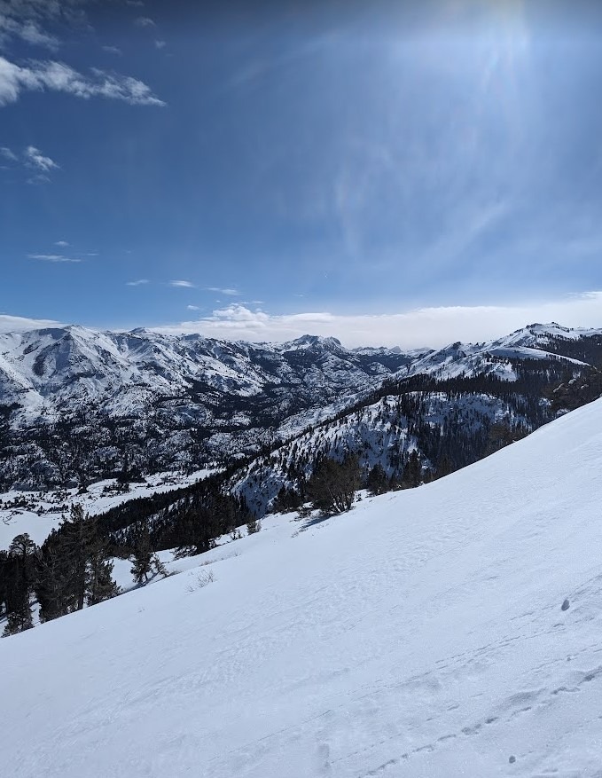
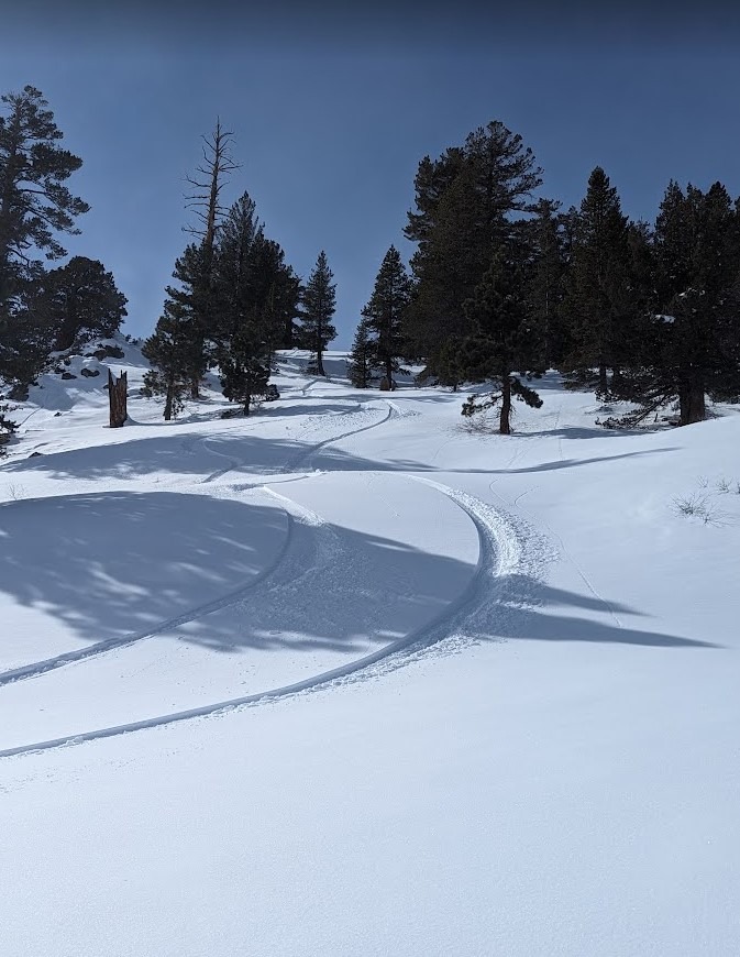
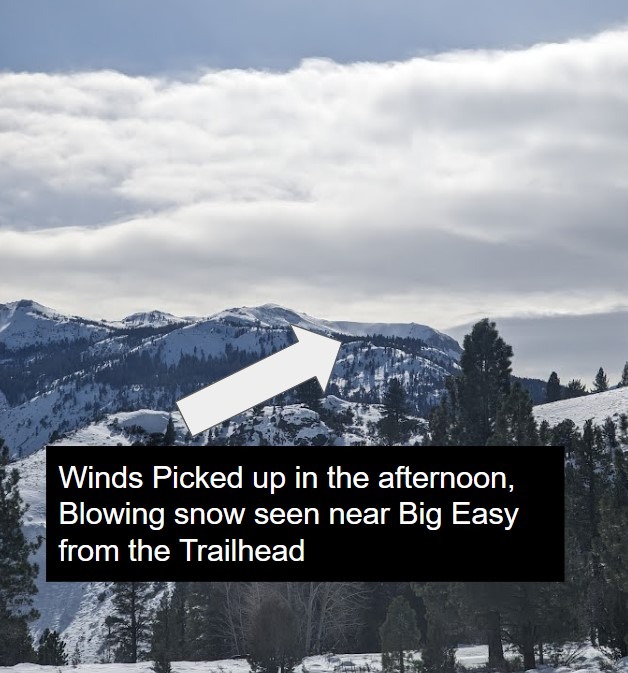
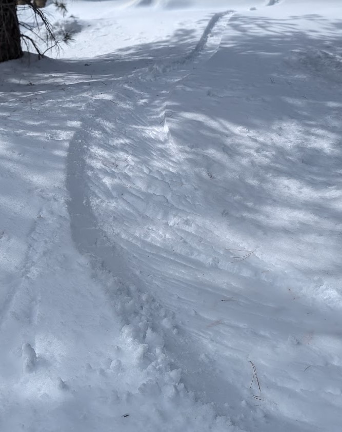
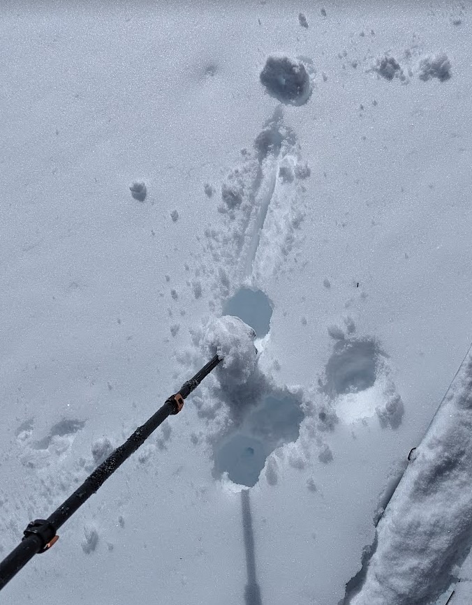
Recently we have seen rollerballs and loose wet activity on South faces, while shelterd North terrain has been holding cold snow still. We toured an East face to see how warm air temperatures and sunny days were affecting other aspects . We found moist surface snow in the trees, as we gained elevation and entered the near treeline zone, the moist snow changed to a very thin zipper crust on the surface. Indicating that although we weren't seeing the snow surface warm today the effects of warm air temps and sunny days were felt over the last few days and had affected the East faces to a small degree ( we were at 9,200ft). A light but steady SW wind was keeping the snow surface cold and we saw no signs of a warming snowpack outside of the lower-elevation trees. At 1430 from the trailhead we could see blowing snow on ridgelines as wind speeds began to increase in the afternoon.
Wednesday wind speeds will increase to 40 MPH and gust to 60MPH. Wednesday night into Thursday Am winds will remain elevated and 8-12 inches of new snow is forecasted for the Sonora pass area. Wind-blown snow and new snow will rapidly change conditions and increase avalanche danger.
Weather
- Air Temp
- 35
- Cloud Cover
- scattered
- Wind Loading
- light
- Snow Avail For Transport
- small smounts
Cold start to the Day at the trailhead, 15F. Temperatures gradually warmed as we began the ski tour, Midday winds increased from the SW and cloud cover increased.