
Quick report
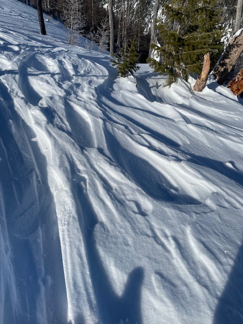
Evidence of strong winds at 5500' and above, with all open slopes and all aspects showing wind effect.
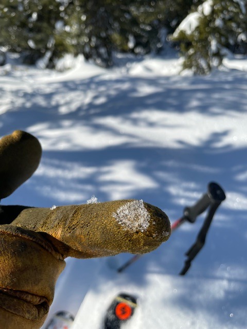
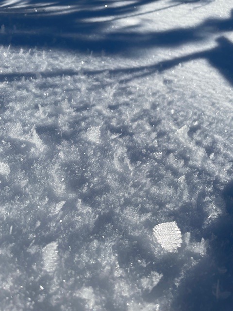
Large surface hoar developing from 5200' and above.
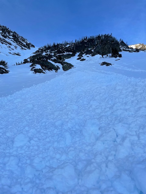
On North facing aspects, overall snow pack structure was stable. South facing aspects got hit hard from the warm temps and sunshine, and the surface snow shed and turned into small wet loose avalanches around steep cliff bands.Weather
- Air Temp
- mid 20s to low 30s by afternoon
- Cloud Cover
- few
- Wind Loading
- previous
- Snow Avail For Transport
- small smounts
Beautiful sunny day, with great visibility. Temps increased to just above freezing by the afternoon. Thick valley inversion were around 4000'-4500' for most of the day, and dissipated towards sundown.
Snowpack
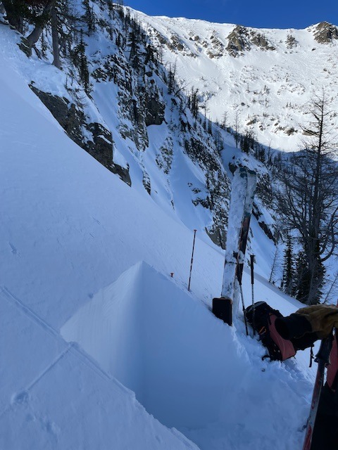
A pit dug on a shaded North facing aspect at 7000' and showed a currently strong right side up snow pack structure, with surface instabilities starting to develope that could be a future concern in the next storm cycle. The top 10cm of the snowpack was a denser wind slab, and below that was 15-20cm of very light snow that is starting to turn into near surface facets. No failures or propagation in pit tests. Below this layer, the snowpack is right side and consolidated at upper elevations. North facing shaded aspects still held pockets of soft soft snow in sheltered areas, and South facing aspects were hit by the sun and turned into mushy and wet snow. Solar aspects warmed up enough to go through a wet loose cycle. Surface snow refroze once the sun went down.
Avalanche
- Size
- D1
- Type
- WL
- Aspect
- S
- Trigger
- N
- Elevation
- 7000 ft
On south facing slopes, a number of wet loose avalanches were observed around rocky terrain features and steep gullies. These were classic point release avalanches and ran mid slope.