
Quick report
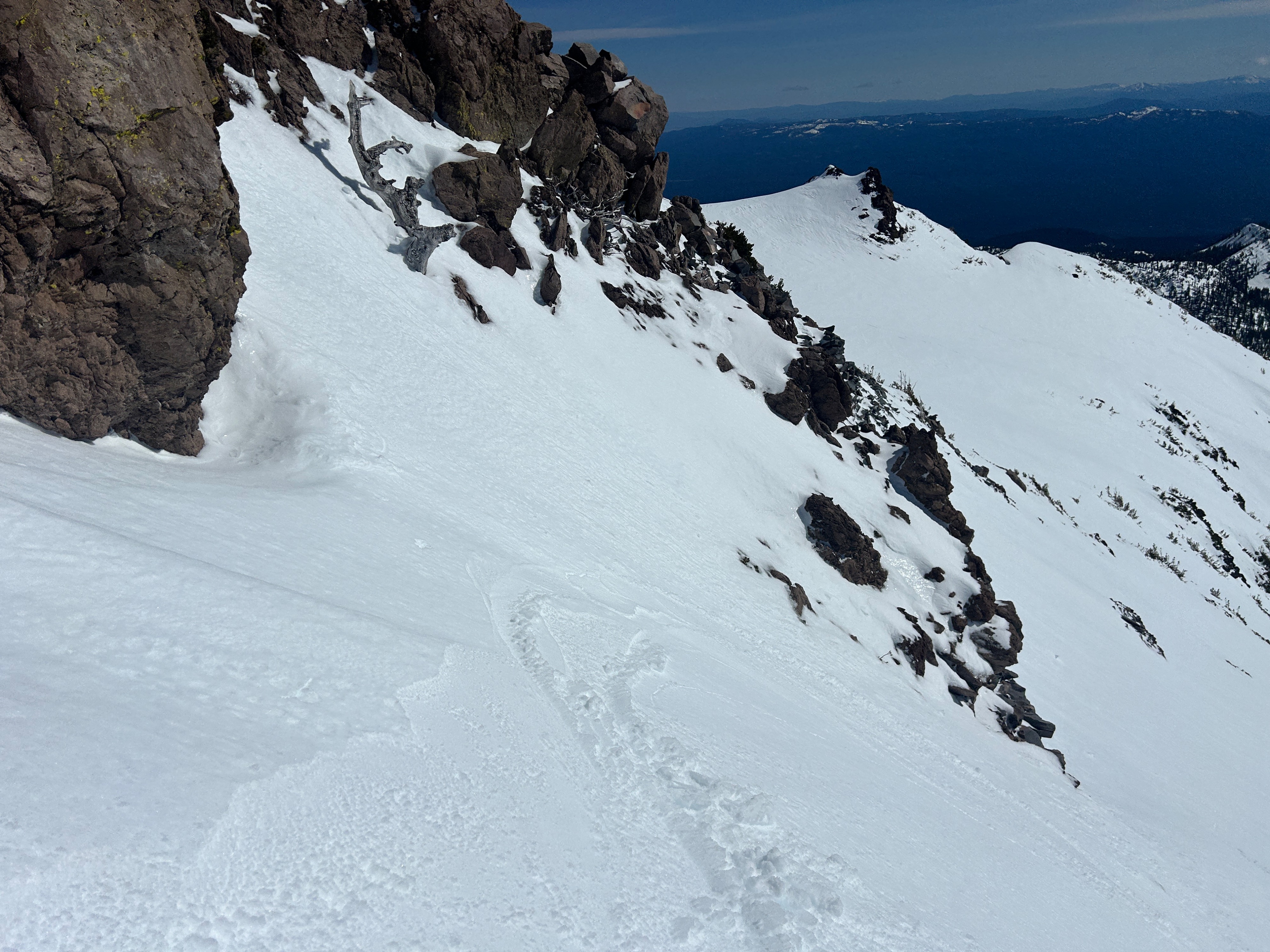
The snowpack is quickly transitioning to spring conditions near and below treeline. However, up high, roughly 10,000 feet and above, strong northerly winds continue to blow snow and keep surfaces hard. Small wind slabs remain the primary concern in extreme terrain. Wet loose instabilities exist where old wind-deposited snow has become soft and damp on steep, solar aspects, protected from the wind. Northerly aspects in shaded areas did not soften.
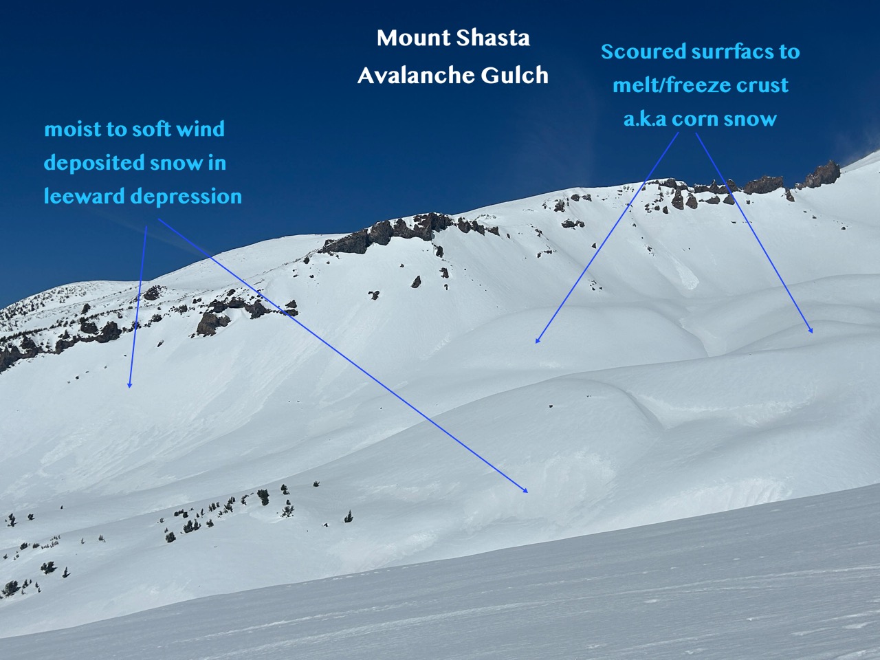
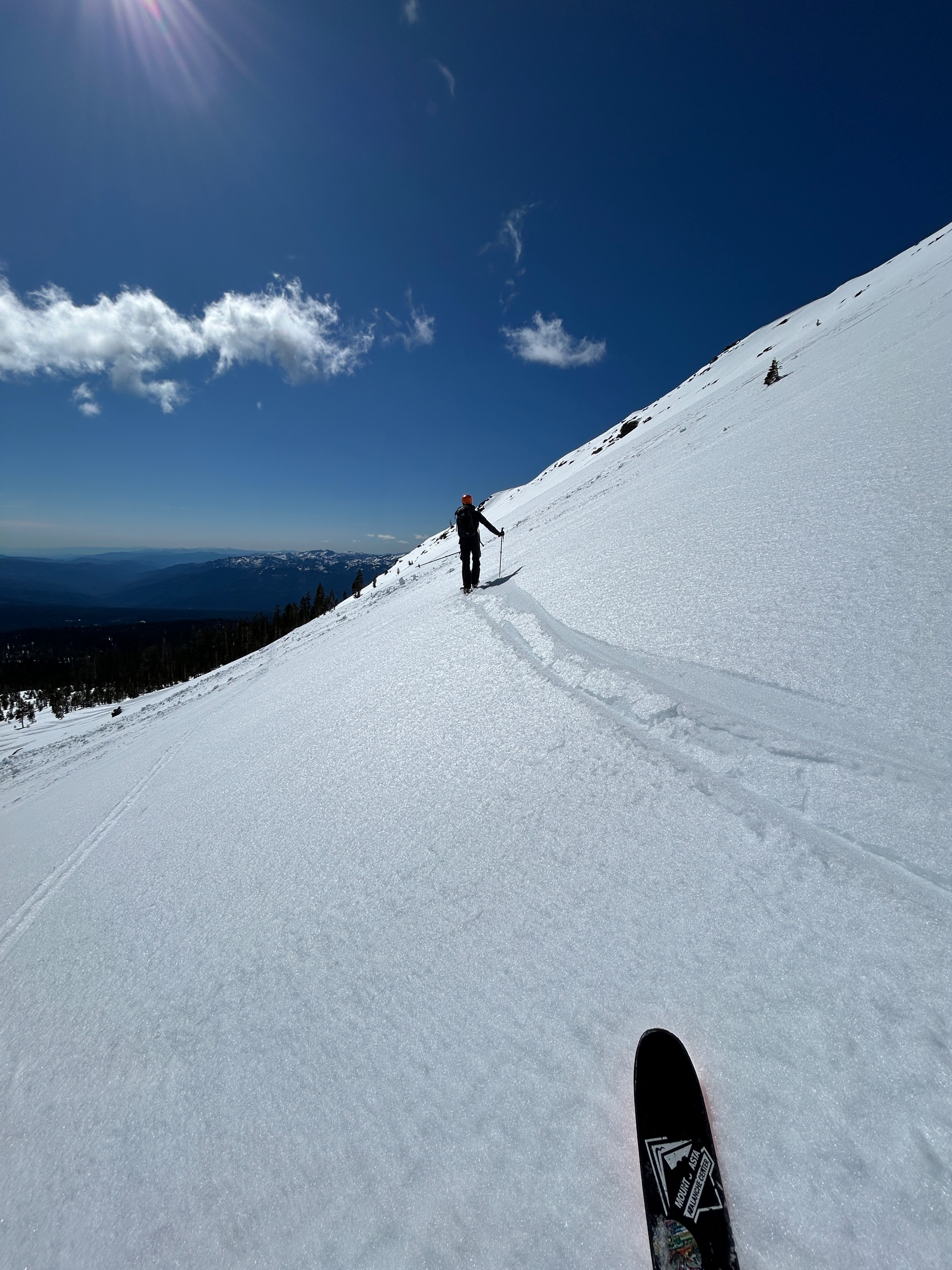
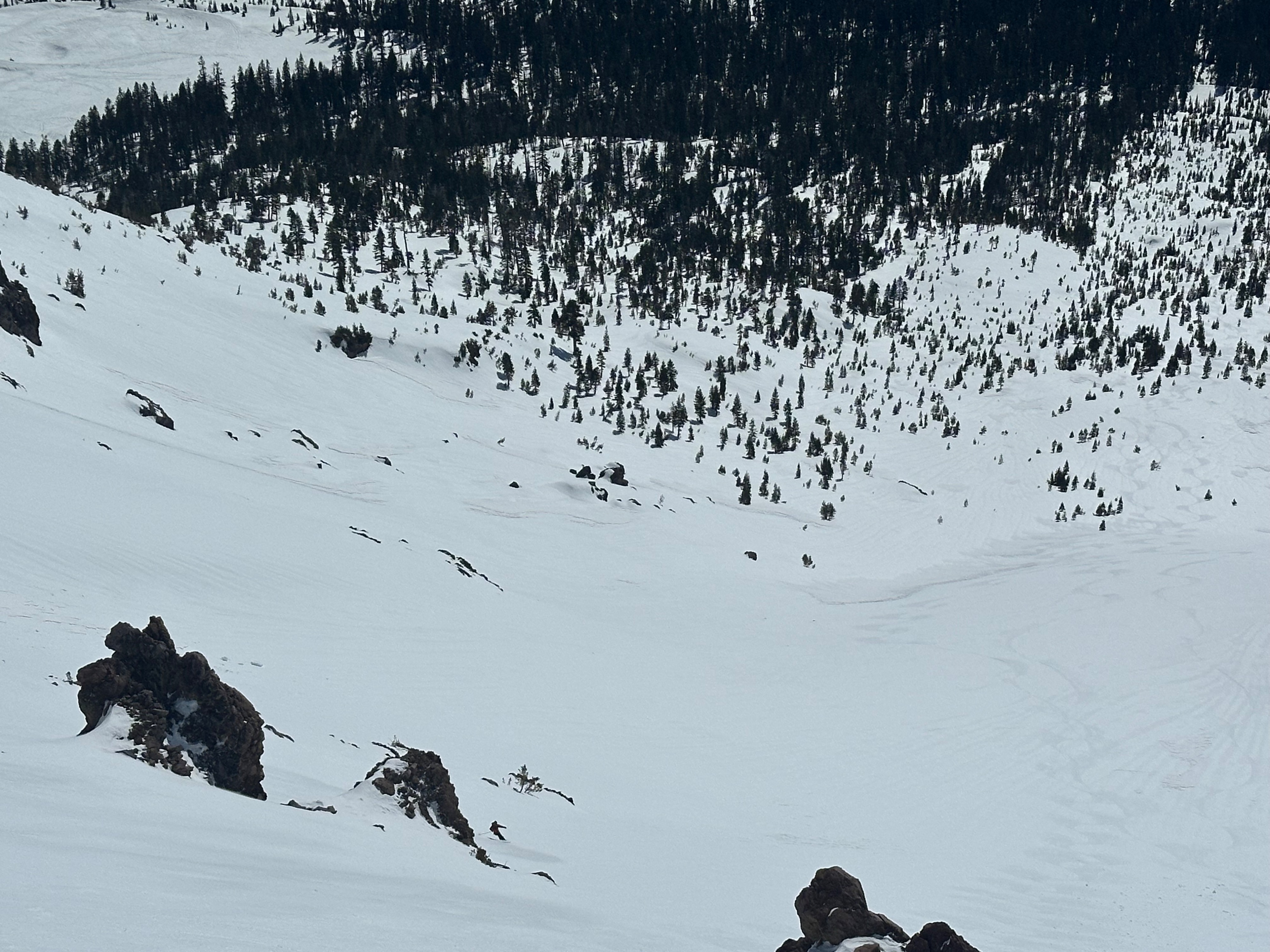
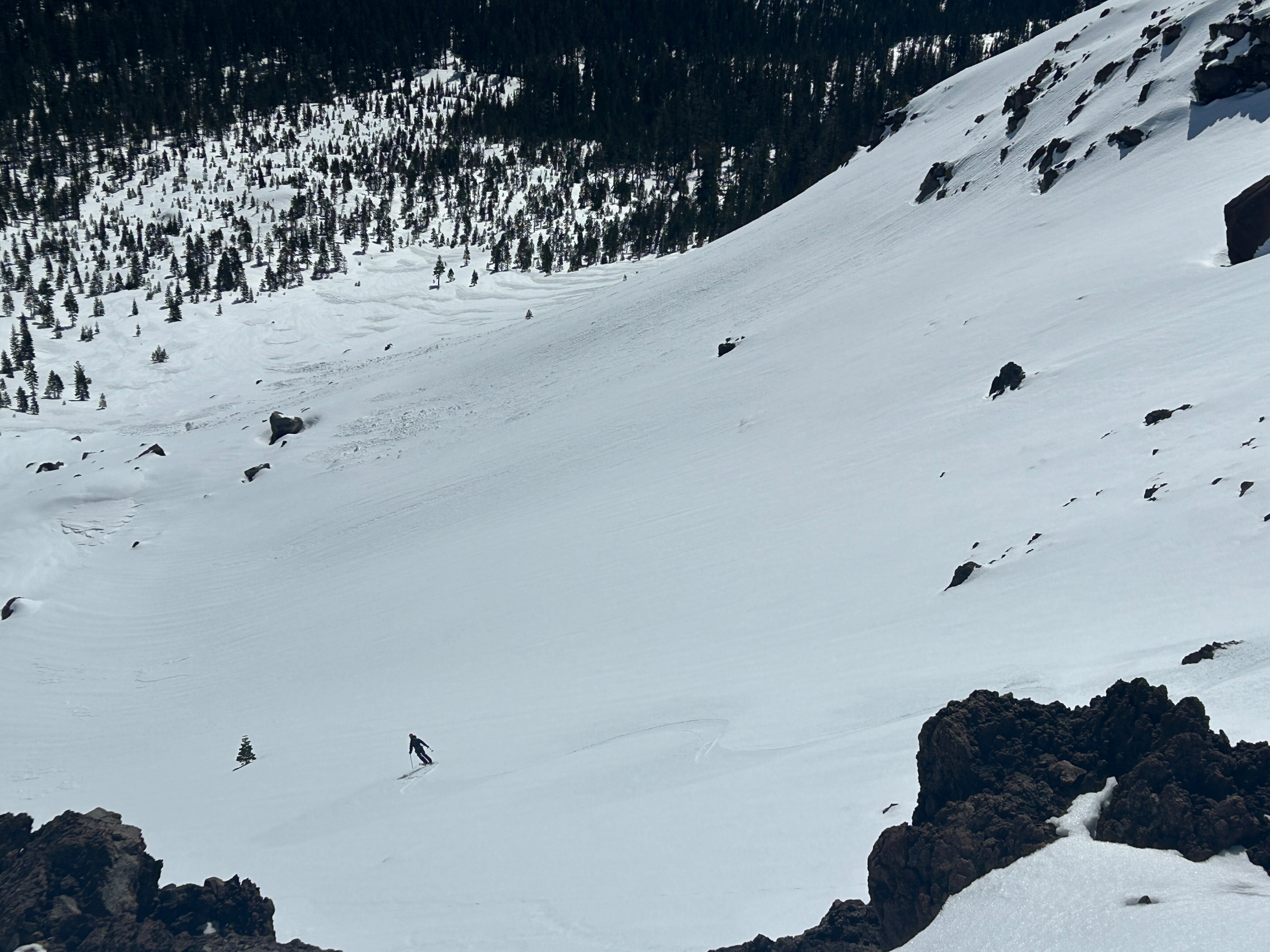
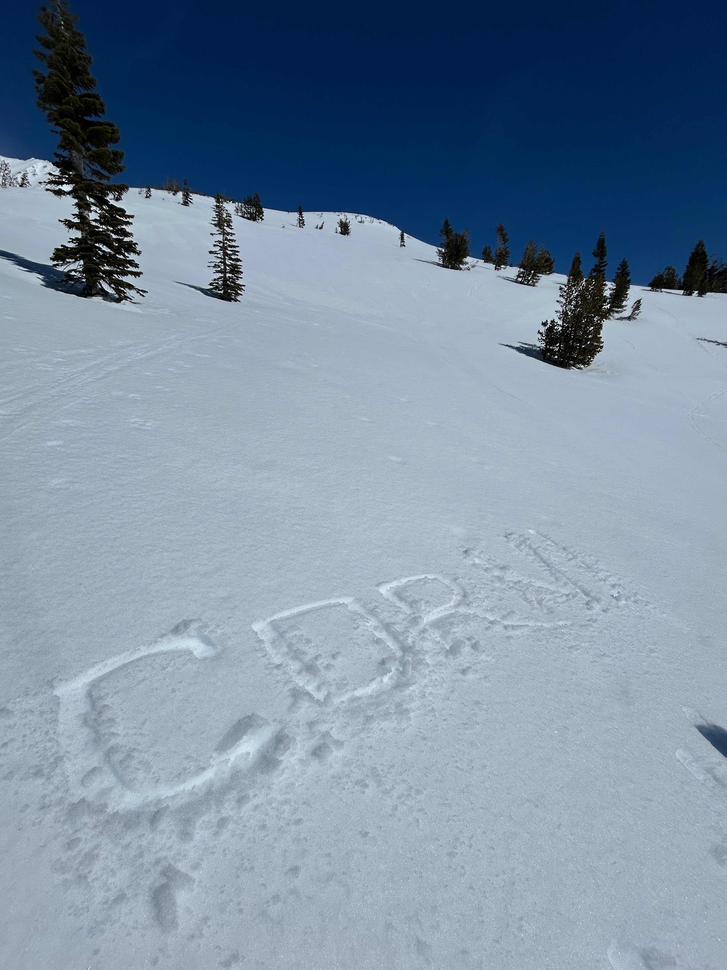
Farmers, may I have your attention please. The harvest has arrived with grade A corn snow developing on steep, protected southerly aspects near and below treeline. The recent winds have polished the majority of surfaces down to a smooth and supportable texture that will continue to undergo a melt/freeze cycle in the days to come. Islands of wind-deposited snow exist in gullies and depressions of the terrain. Sizes range from several feet to the size of an Olympic swimming pool, dependent on aspect, elevation, and terrain features.
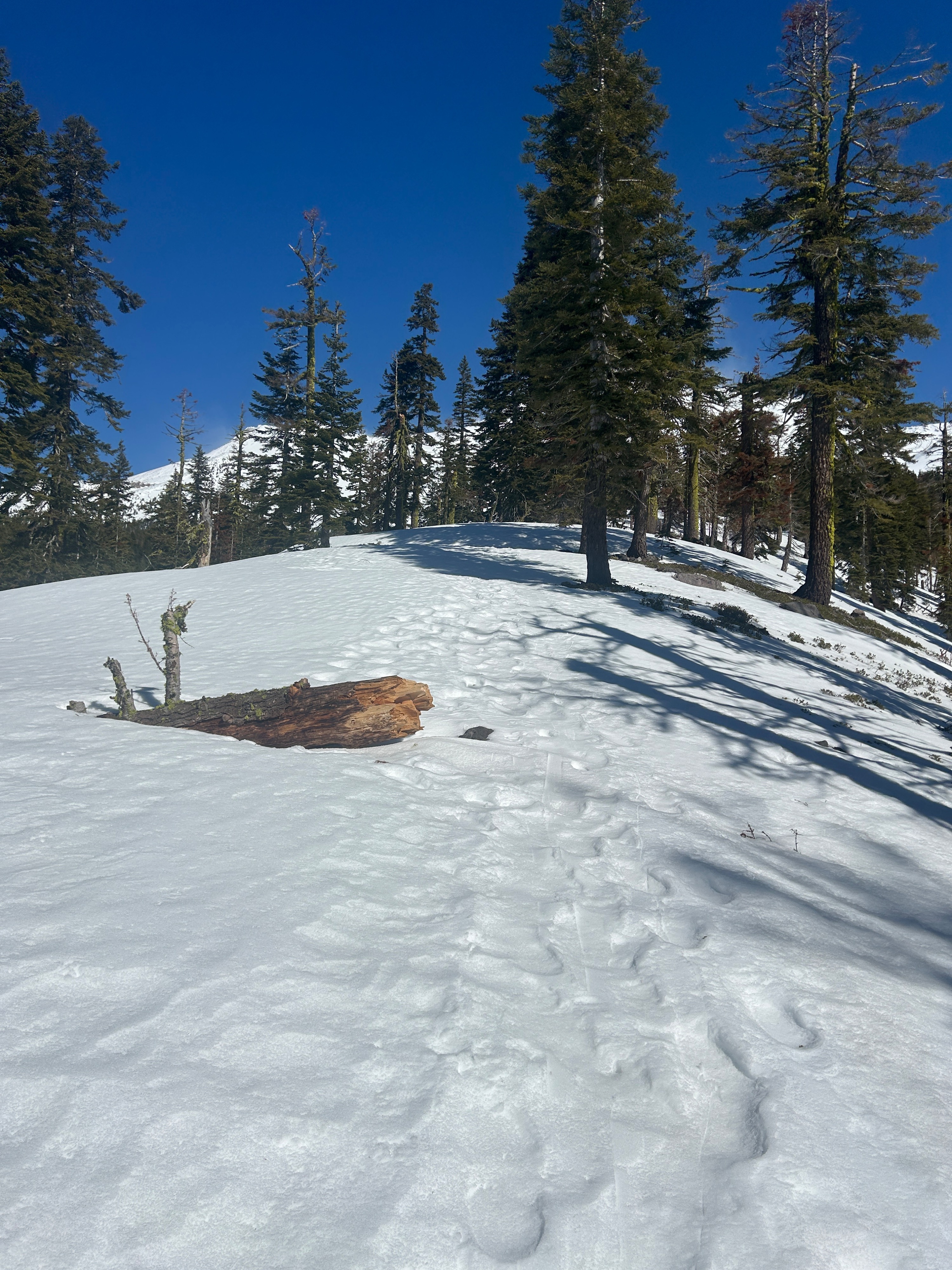
Below treeline snow is melting fast and buried obstacles are beginning to emerge. Travel cautiously.
No signs of instabilities were observed. However, drifted snow that exists in steep, wind-protected terrain holds the potential for small, wet loose instabilities to develop. Steep, micro terrain features below treeline are other areas where wet snow instabilities are likely. Watch for rocks and rime ice shedding off prominent ridgelines and rock outcrops.Weather
- Air Temp
- 40
- Cloud Cover
- clear
- Wind Loading
- moderate
- Snow Avail For Transport
- small smounts
Partly cloudy skies trended mostly clear by midday. Strong to extreme northerly winds aloft blow consistently over the upper mountain. Temperatures reached a high of 40 degrees by 1 pm.