
Quick report
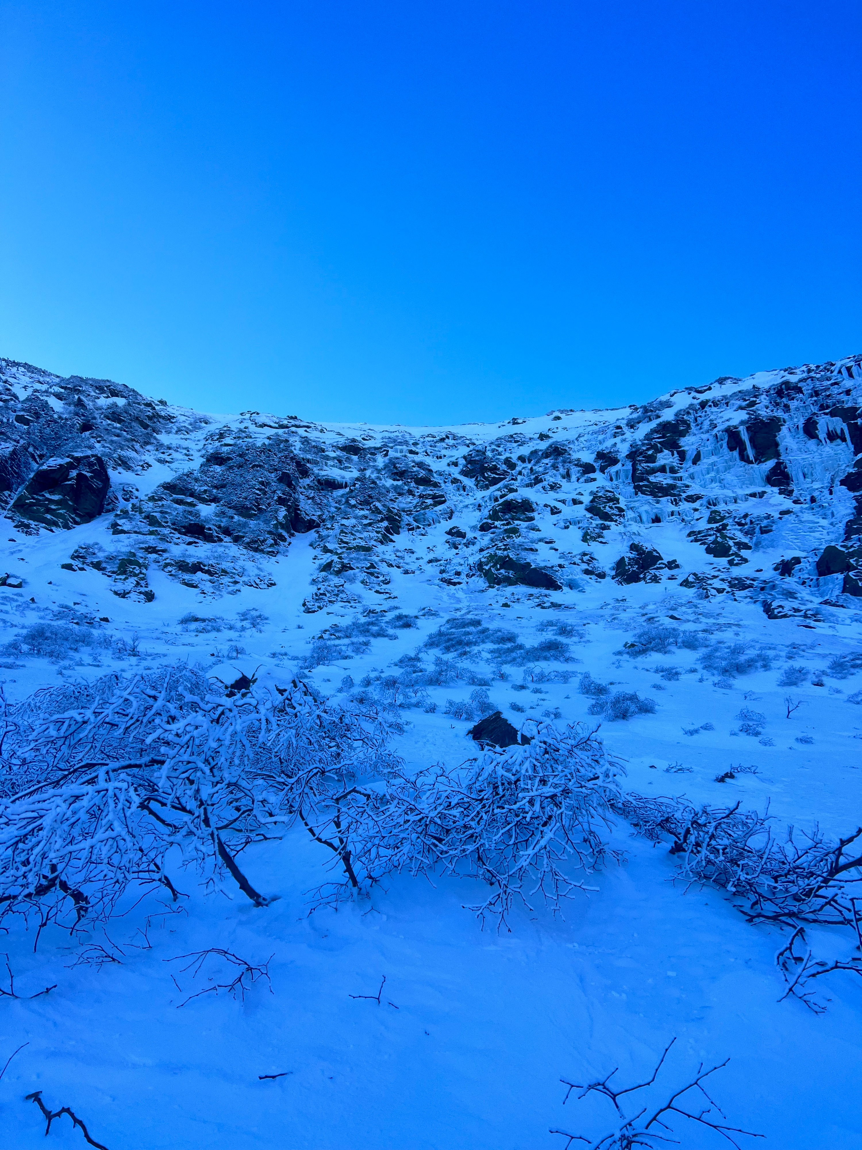
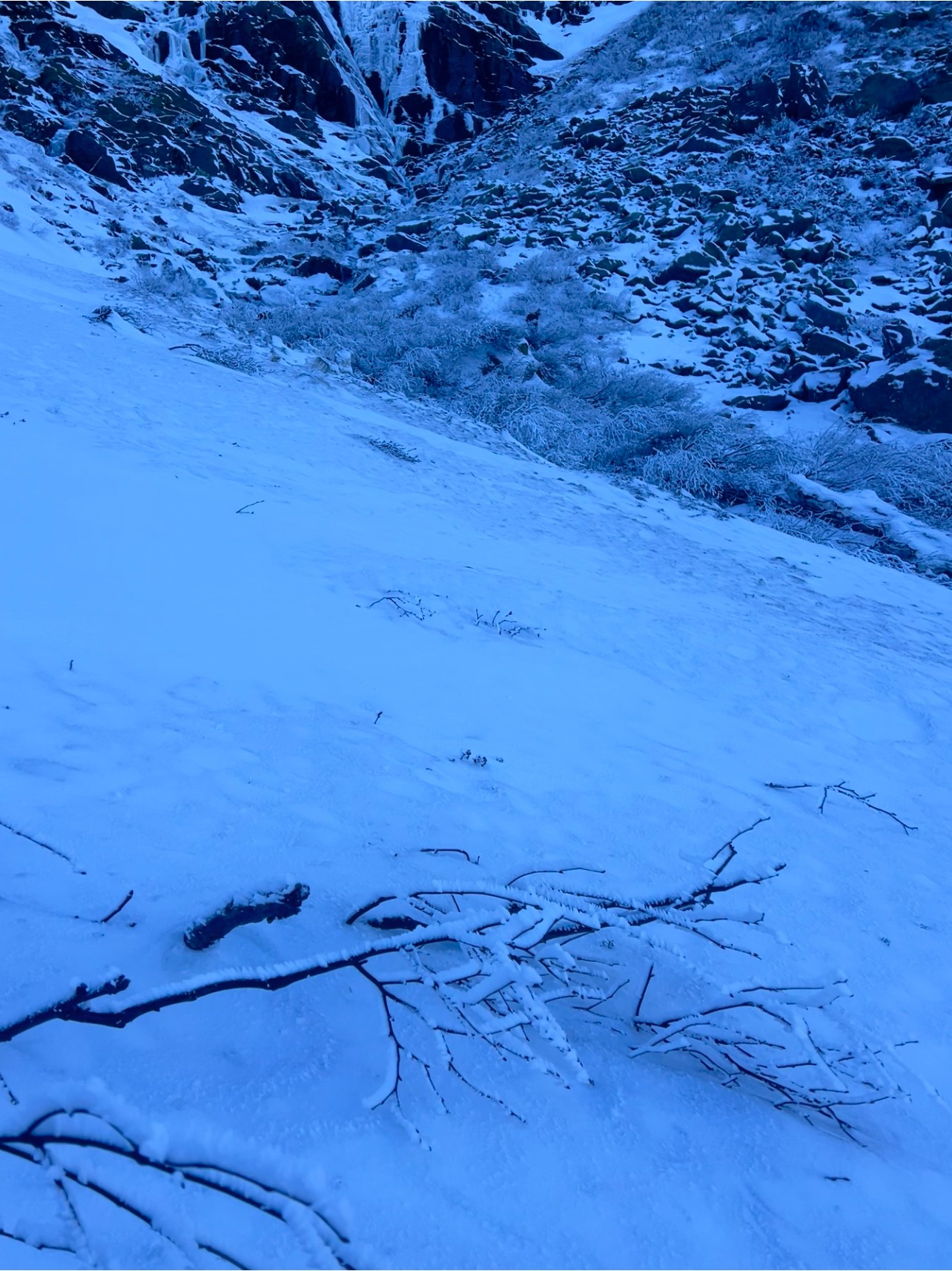
The current snowpack is a mosaic of different surface textures that makes identifying problems simple at the moment. We observed small wind slabs from the smooth, white snow and are on top of the old snow surface that is gray, dirty, and refrozen is still visible in places. We also observed surfaces that were scoured, rimed, and firm underfoot.
Weather
- Air Temp
- 19
- Cloud Cover
- clear
- Wind Loading
- previous
- Recent Snowfall
- 4
- Snow Avail For Transport
- small smounts
Had a window of visibility into Ravine levels this afternoon as the cloud inversion that had enshrouded Ravines in the morning shifted. Winds felt light in the Ravine with the Summit recording winds averaging 29 mph during our time in the Ravine and consistently northwest through the day.
Snowpack
Found a 2 cm 1F windskin atop 6-8 cm of fist hard snow that is on top of the old snow. The interface between the old snow and new snow is interesting.The old snow surface is icy in sections, but as some of the new snow fell in warmer temperatures, the denser/wetter snow has better bonding potential to this slick surface. Hand shears produced stubborn results on this interface of the new snow/old snow. The density change of the 1F snow over fist hard snow has an upside down composition (strong over weak) and the surface windskin of the 1F snow is from increased wind.
It is important to note that these areas of observed snow were limited and hard to find. The current wind slab problem is very isolated, and the current mosaic of surface textures makes identifying this problem easier. Careful consideration of this snow will be important as will using hand shears to evaluate the interface between the new and old snow. With a minimal snow pack, triggering an avalanche or fall in steep terrain carries a high consequence with rocks, ice, and trees below.