
Quick report
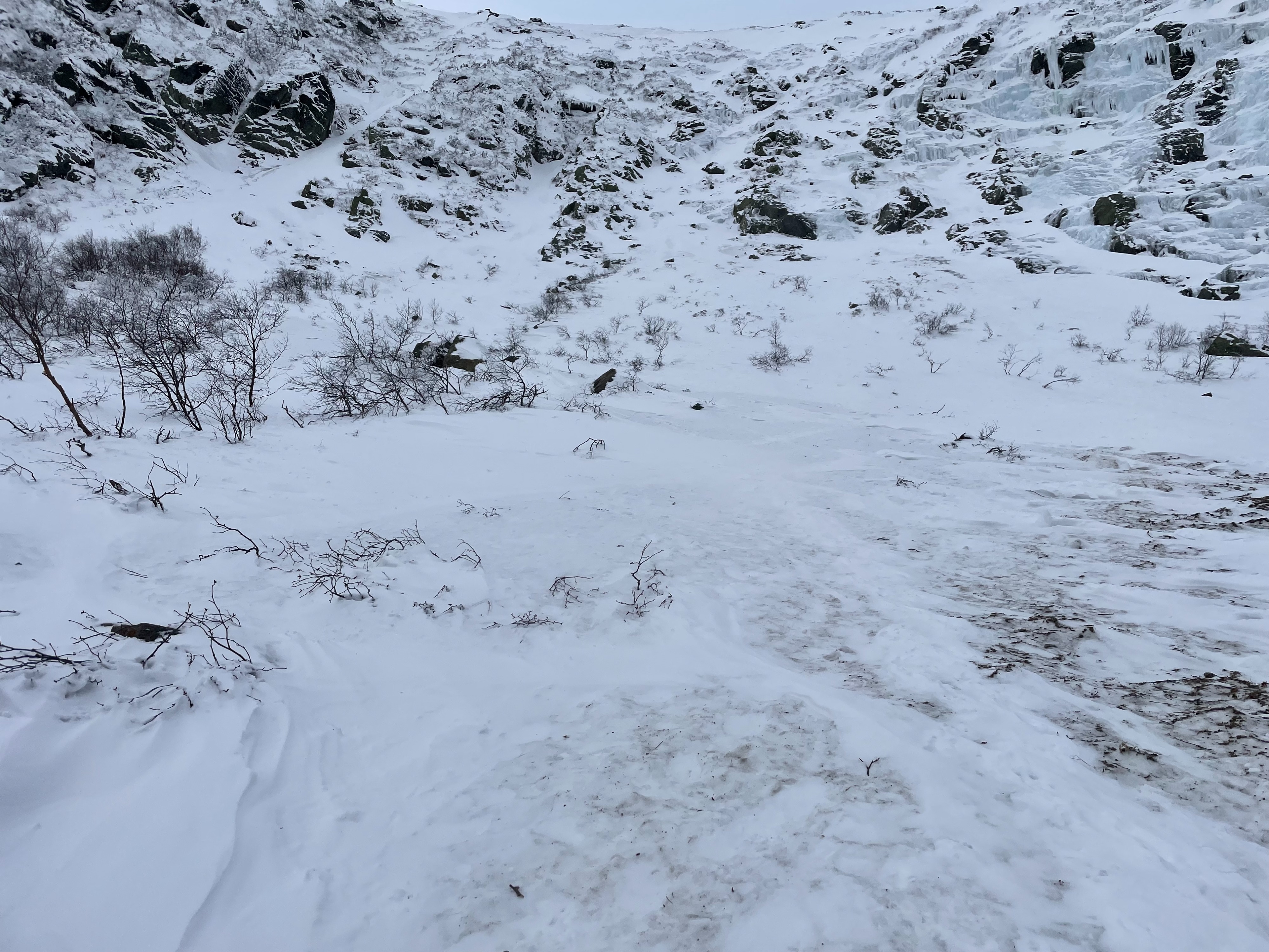
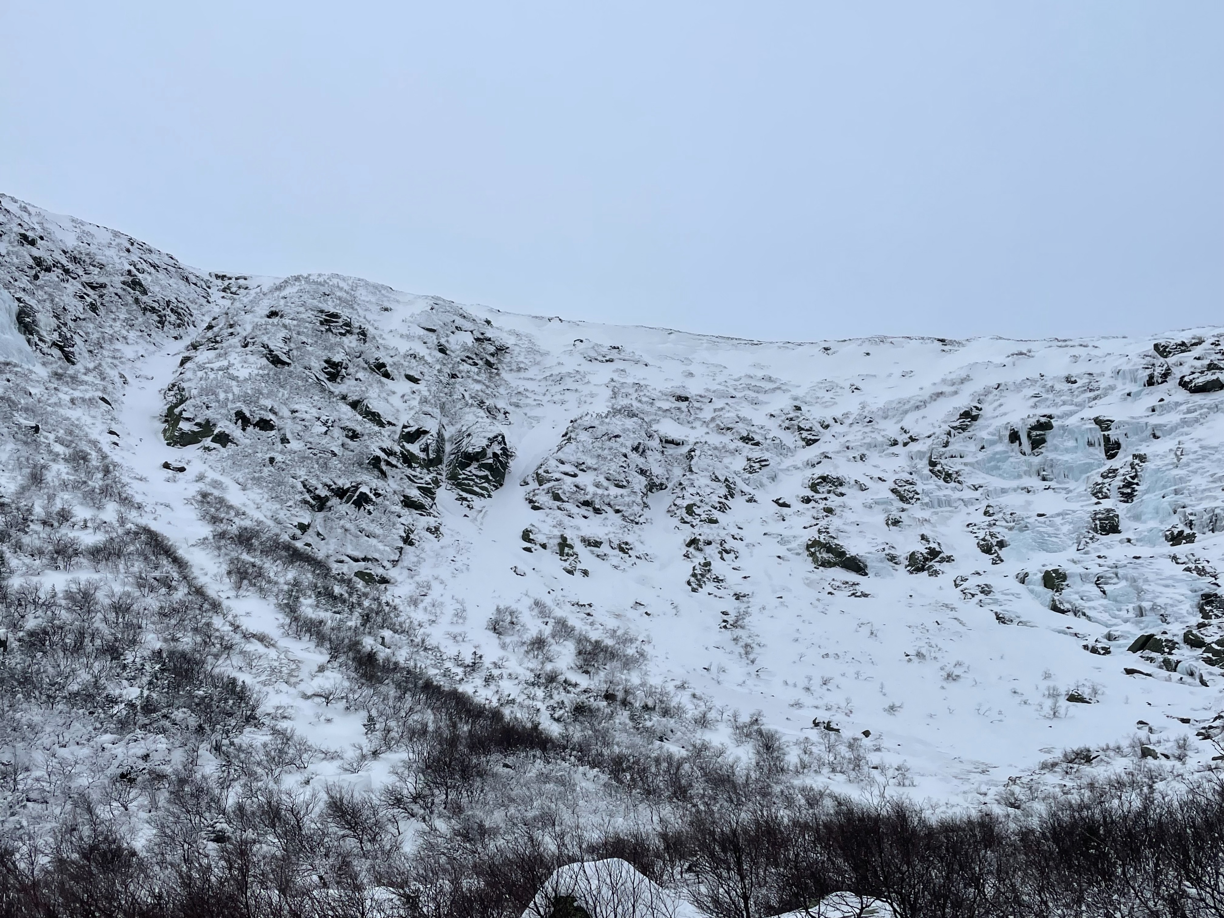
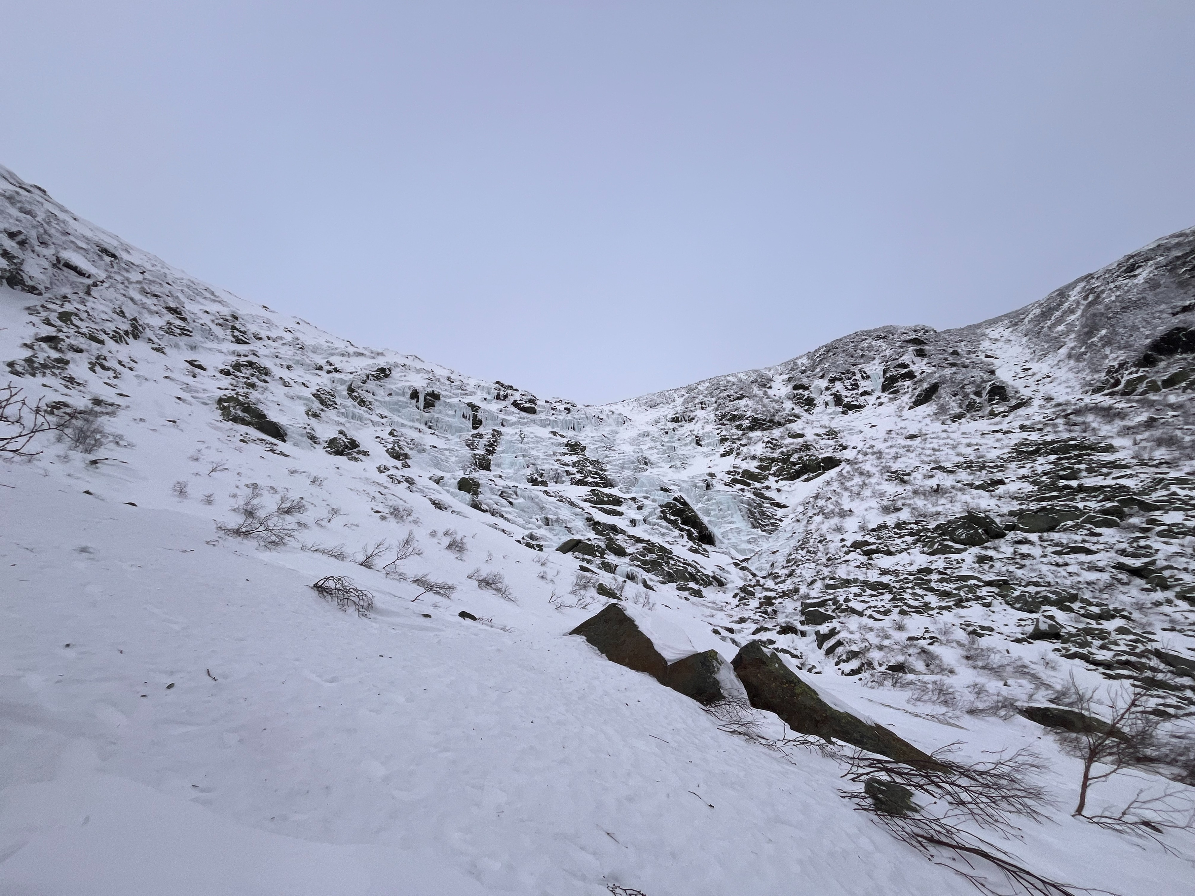
Went into Tuckerman Ravine today to take advantage of the visibility, see the distribution of snow, and test the sensitivity of recent wind slabs before the snow event tonight. Strong winds yesterday redistributed the ~12 inches of low density storm snow to isolated areas of wind slabs around the ravine. While in other areas, the wind had scoured down to the frozen bed surface from the 12/18/23 rain event. No evidence of recent avalanche activity was seen but this was likely due to the strong northwest winds yesterday that averaged 59.2 mph.
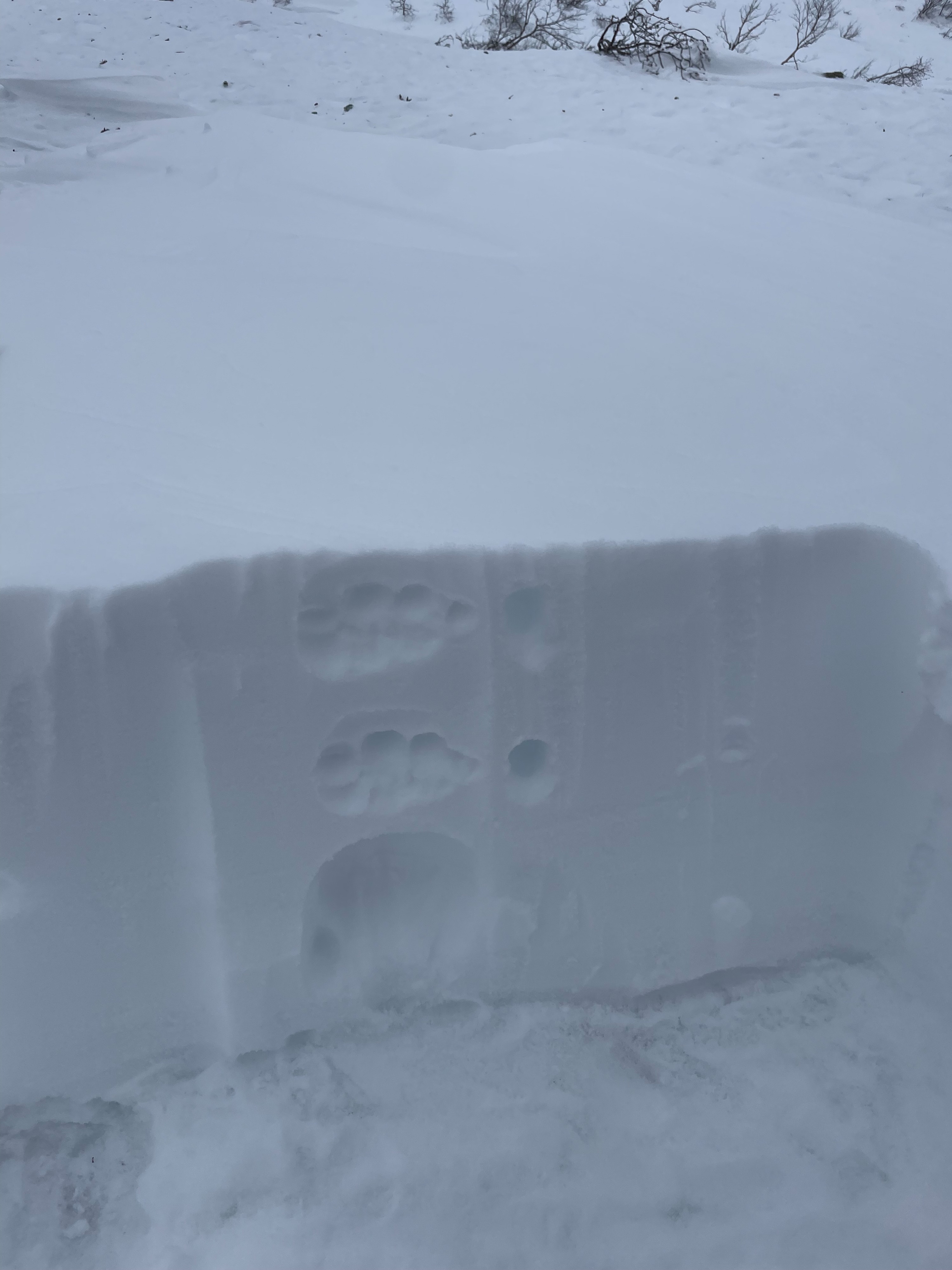
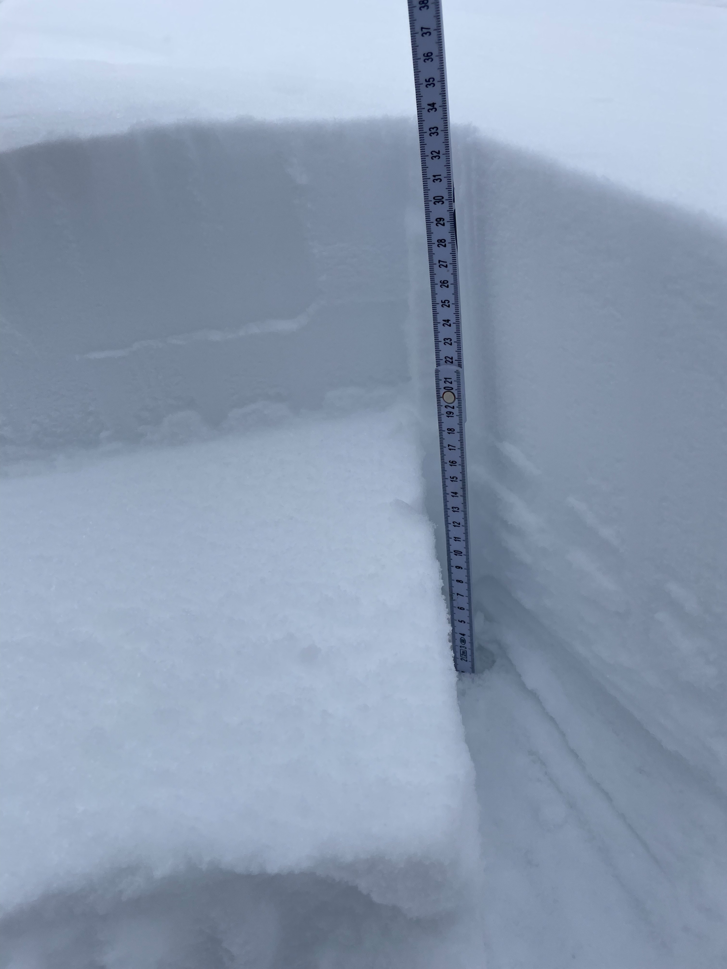
In a pocket of wind slab at 4300 feet elevation, east aspect, my column test results showed a reactive wind slab 14 cm thick and 1F hard failing at the interface of storm snow that was 20 cm thick and fist hard (CT11 & CT13). These layers were resting on the refrozen bed surface from the 12/18/23 rain event.
Take-aways:
- New wind slabs have formed in isolated pockets throughout the terrain from recent snow and wind. These slabs have decreased in sensitivity compared to the observations from Sunday and Monday, but would likely still fail from the weight of a person.
- The wind slabs are isolated throughout the terrain and easily identified by their bright white snow surface. The strong winds scoured other terrain down to the old dull and icy bed surface. Unfortunately this easy identifier will be gone once new snow falls tonight.
- The terrain is beginning to fill-in but still not fully connected. Depending on how productive the storm is this evening and into tomorrow, larger avalanche paths could begin to develop.
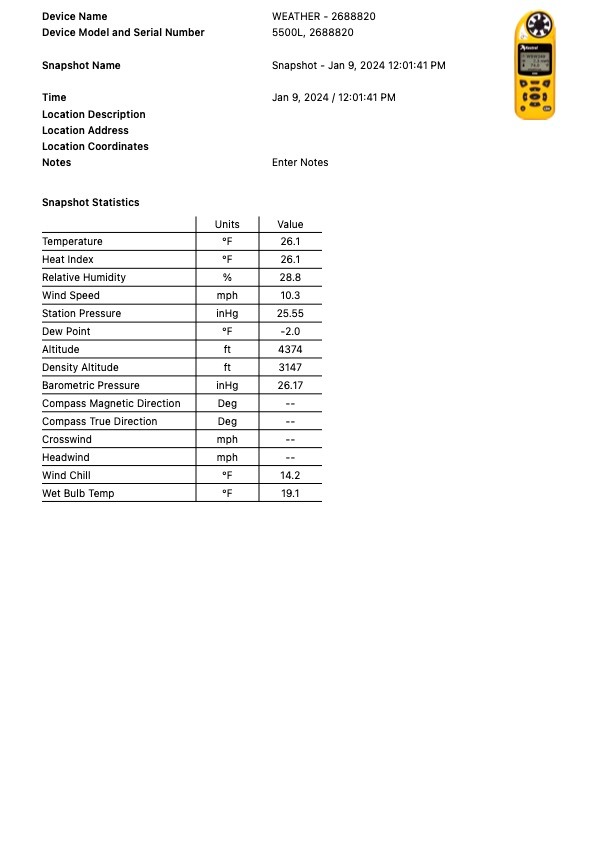
Weather
- Air Temp
- 26
- Cloud Cover
- overcast
- Wind Loading
- light
Light winds from the south, with gusts in the 30 mph range. No precipitation and good visibility.