

Quick report
The Avalanche Gulch climbing route is in prime condition. Continuous snow coverage exists from the Bunny Flat parking lot (7,000 feet) all the way to the summit panicle at (14,179 feet). The main risks climbers currently face are slips and falls on firm surfaces and falling rock and ice in the early morning and daylight hours. Another important consideration is the weather. Don't climb into bad weather and match your skills to the conditions.
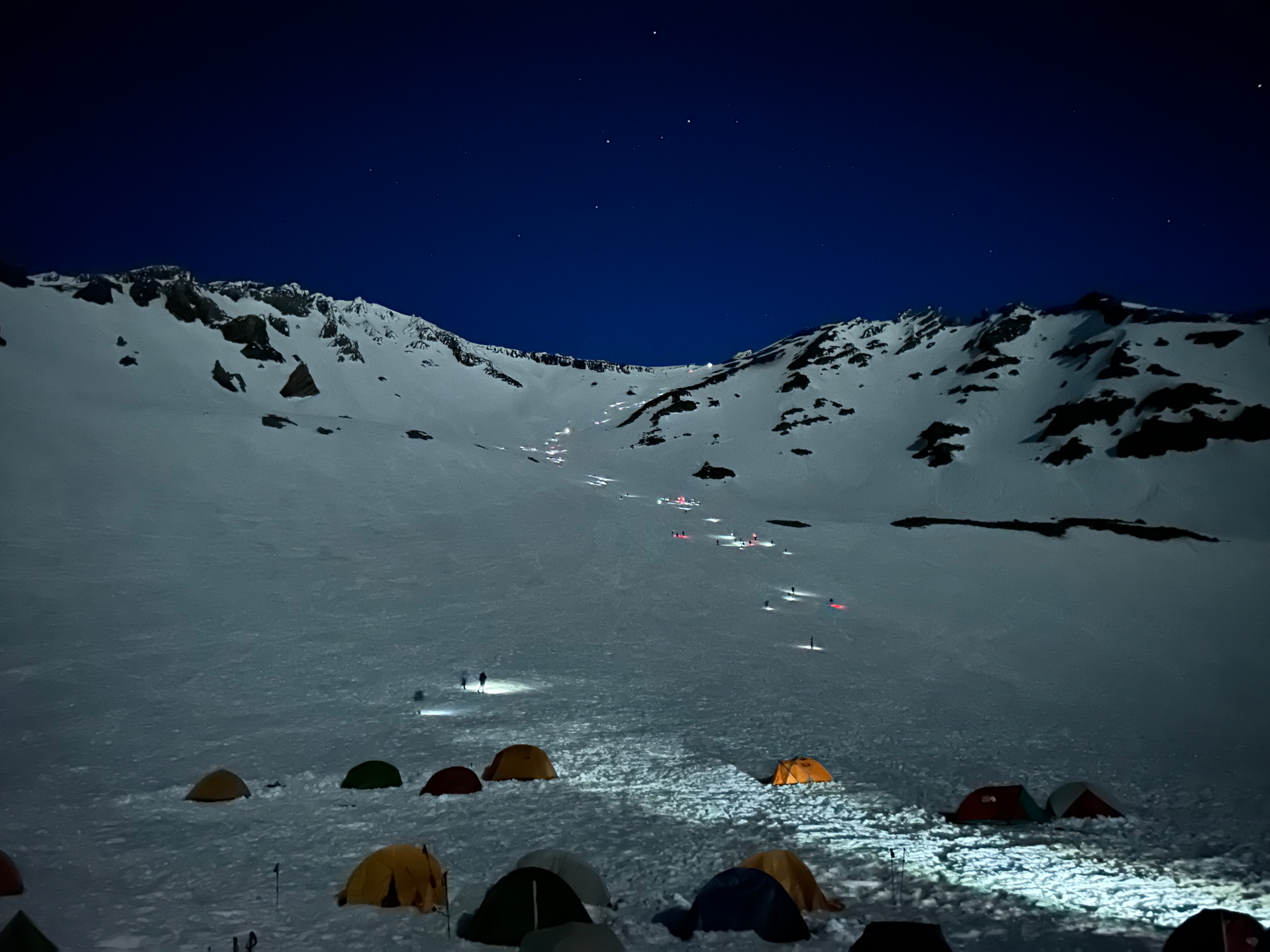
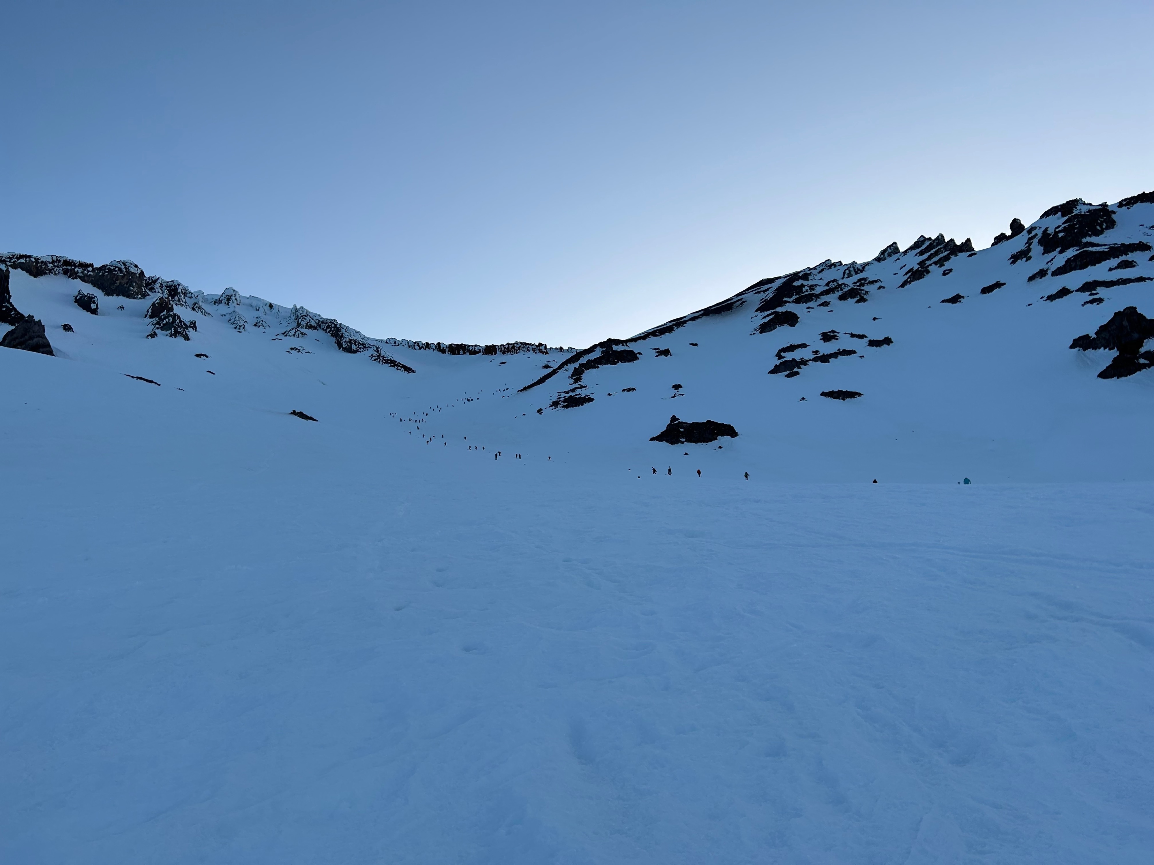
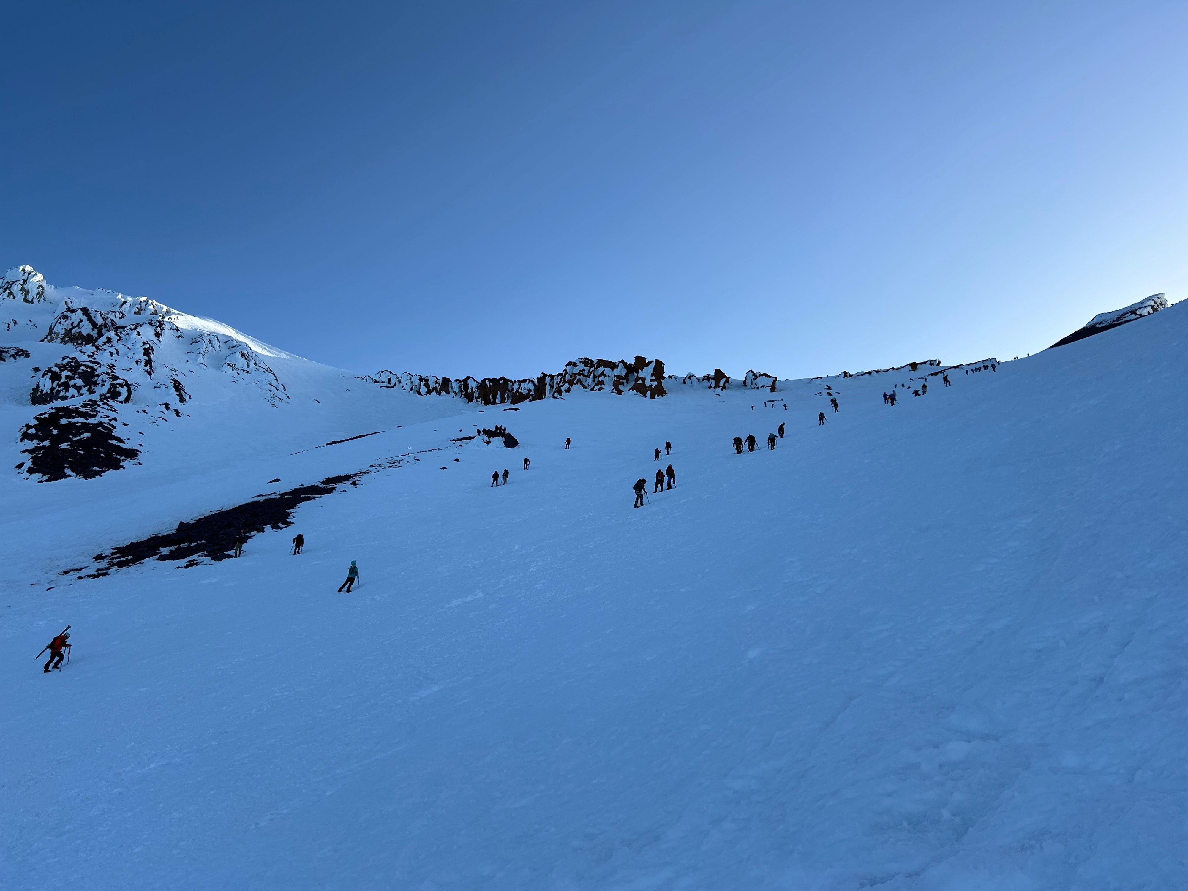
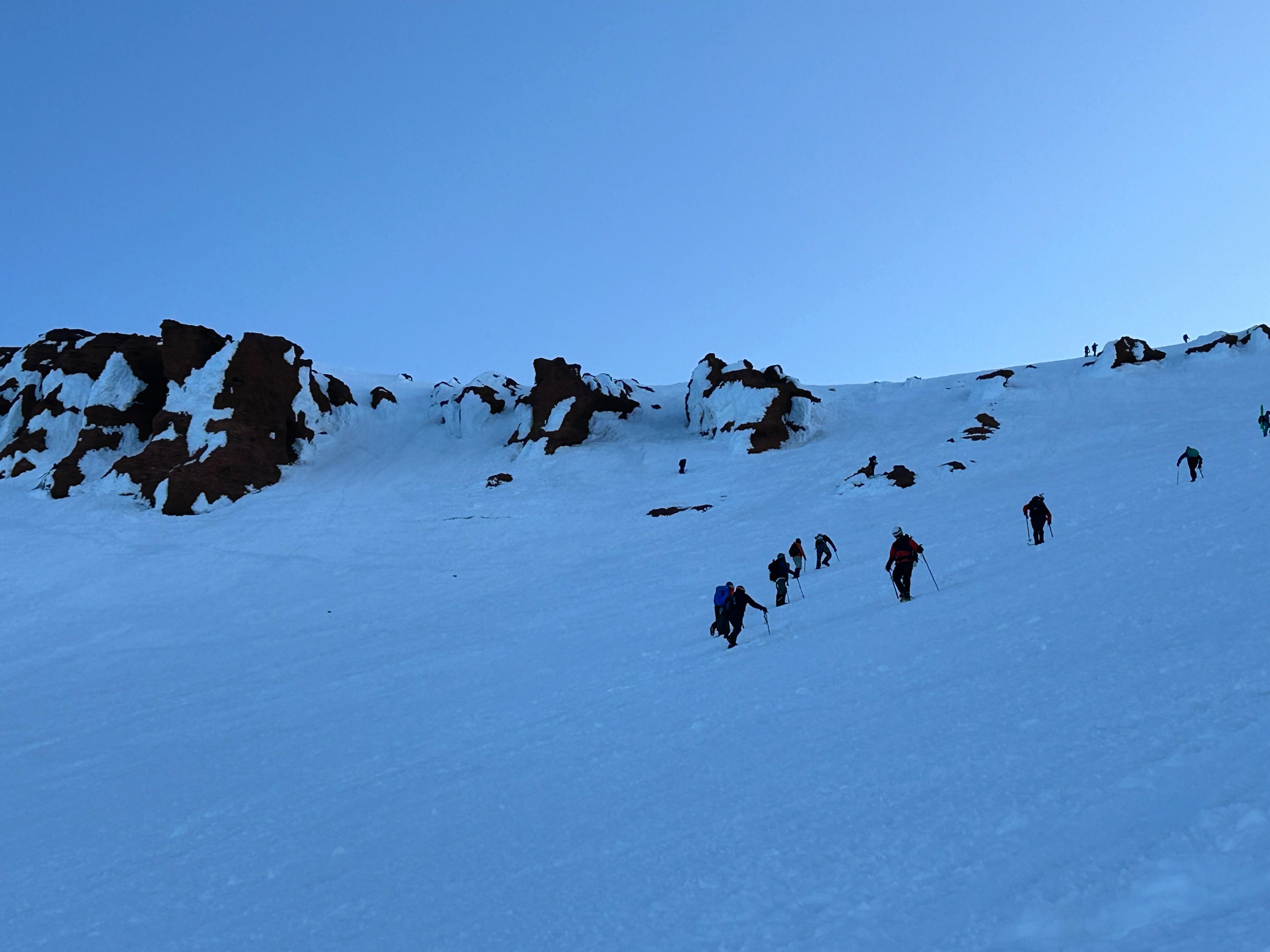
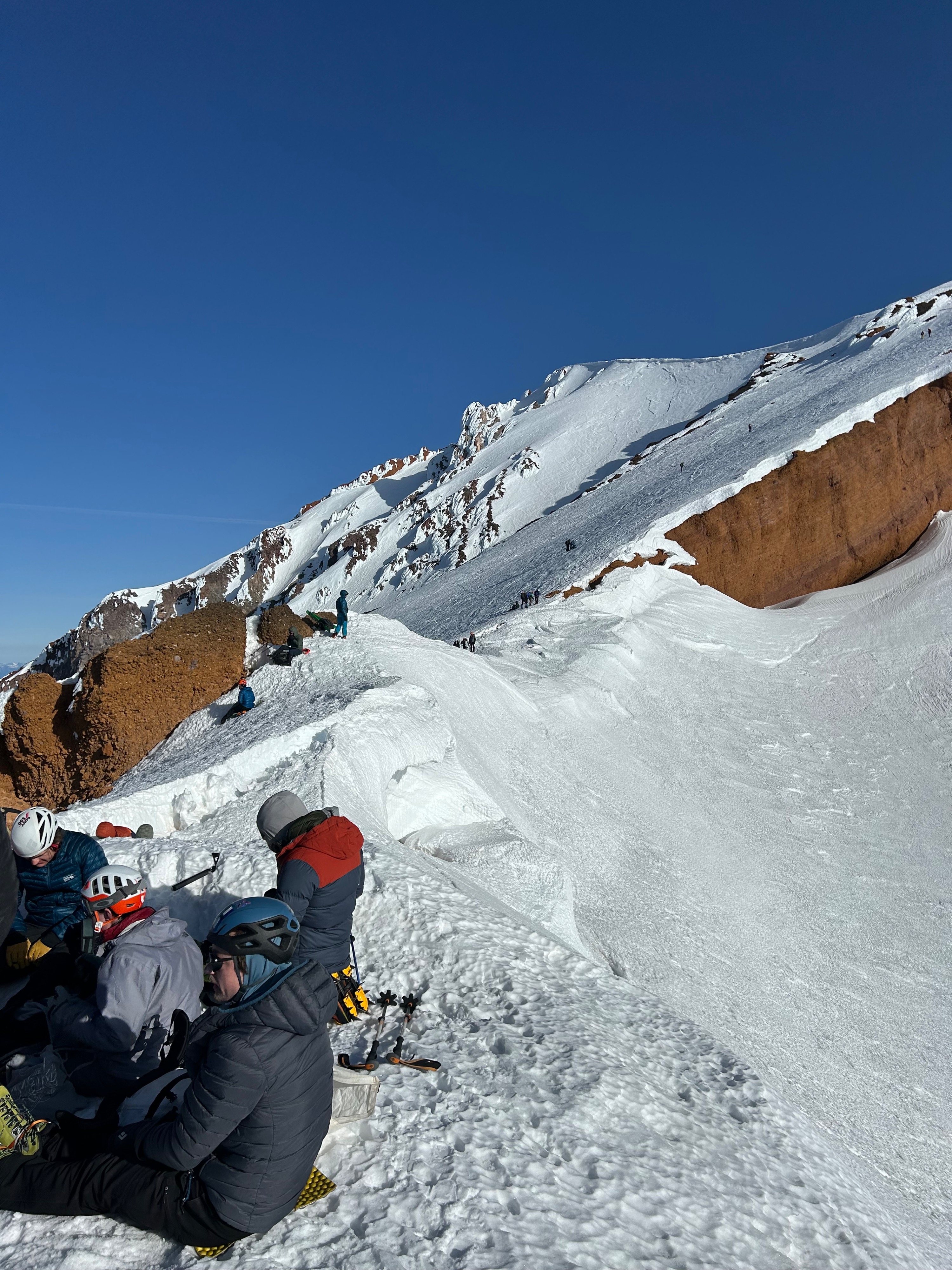
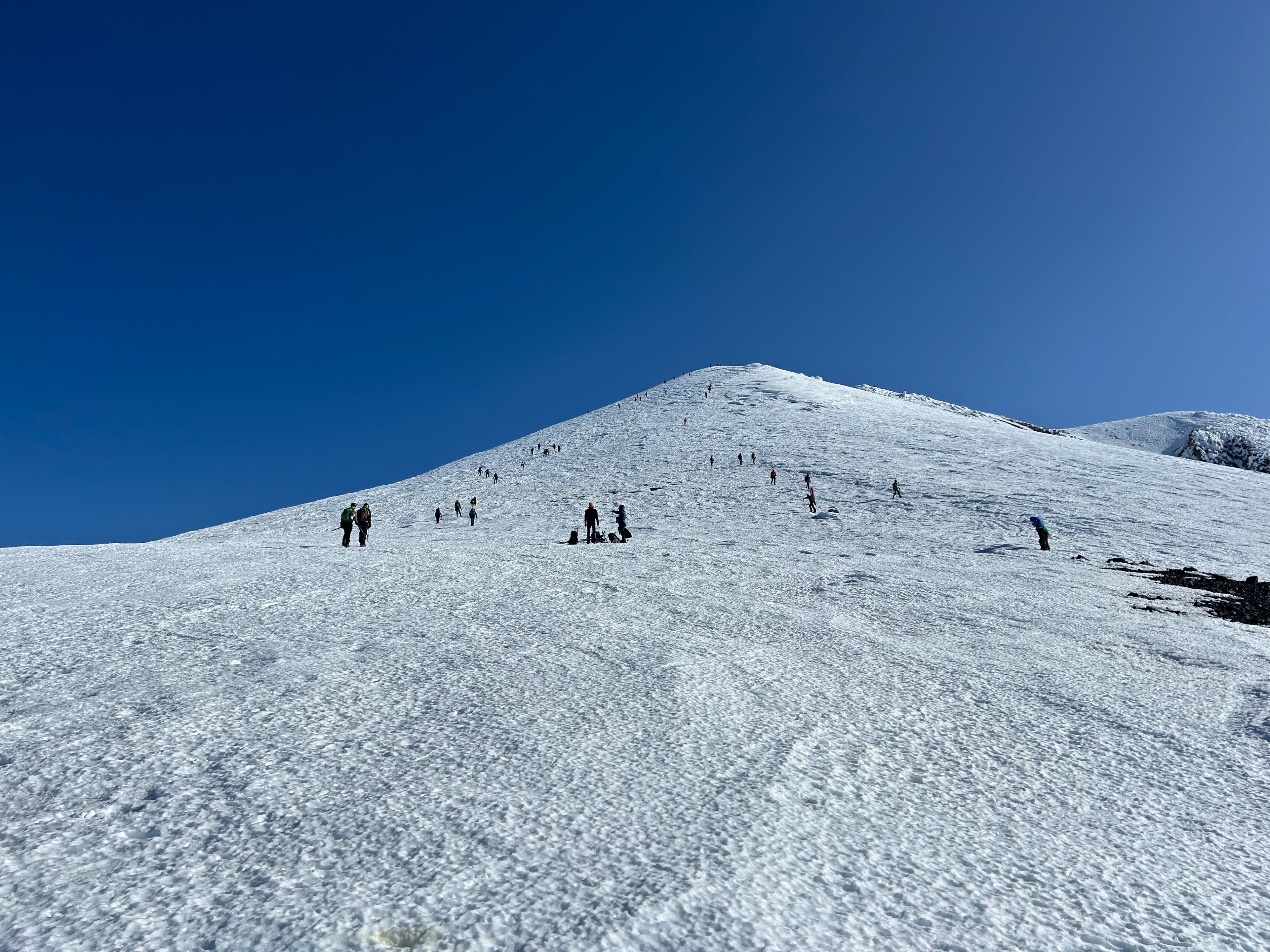
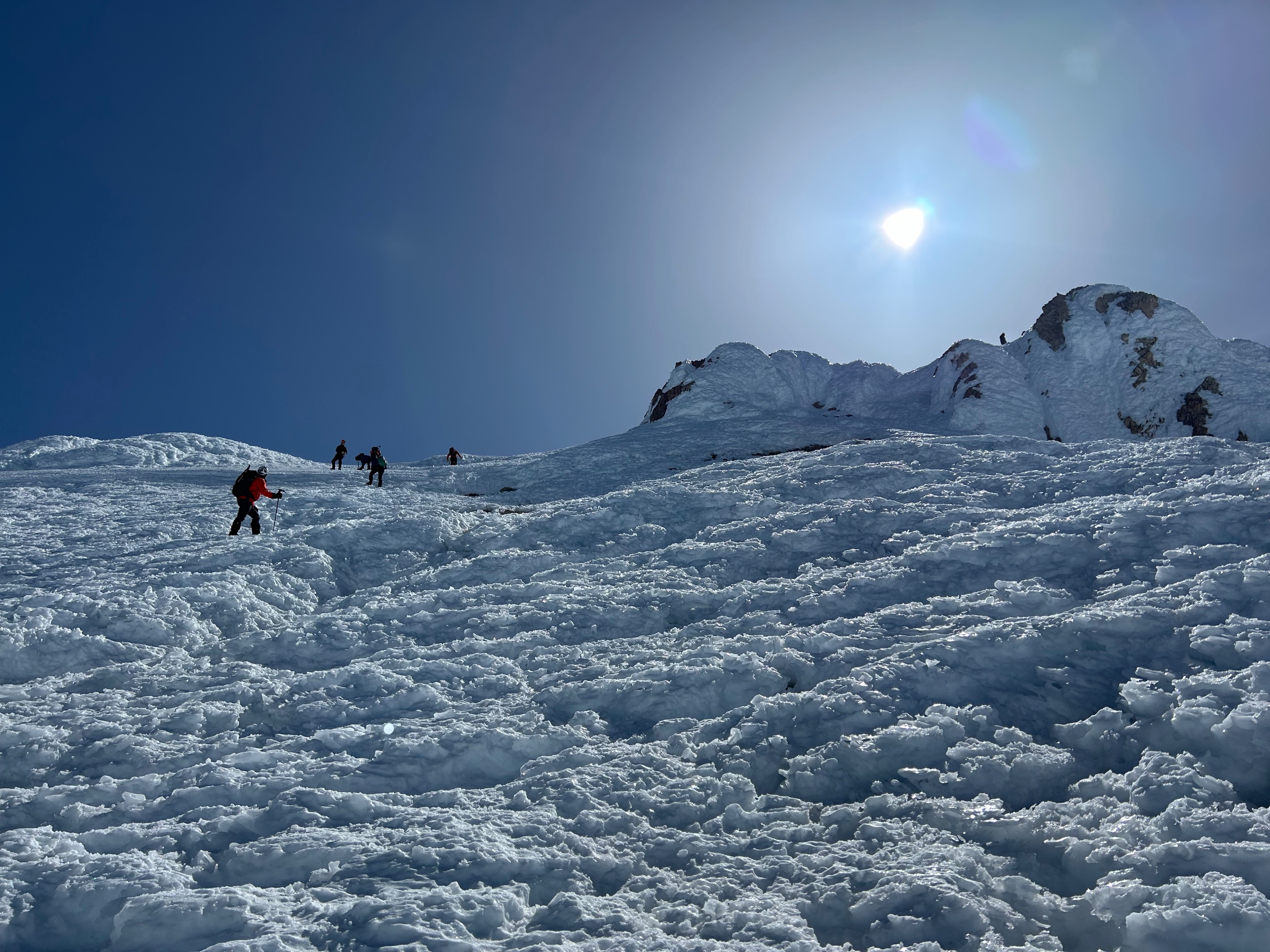
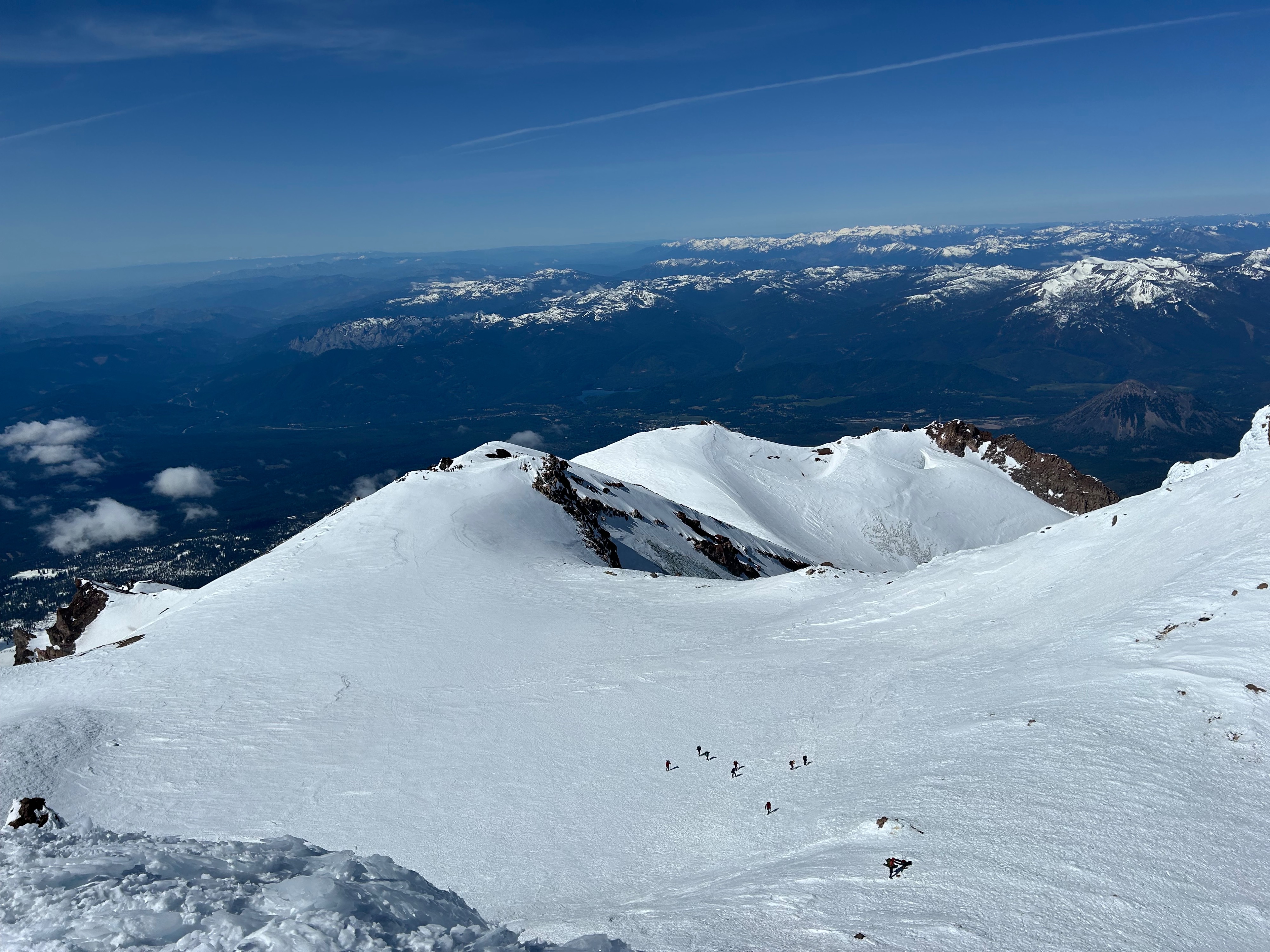
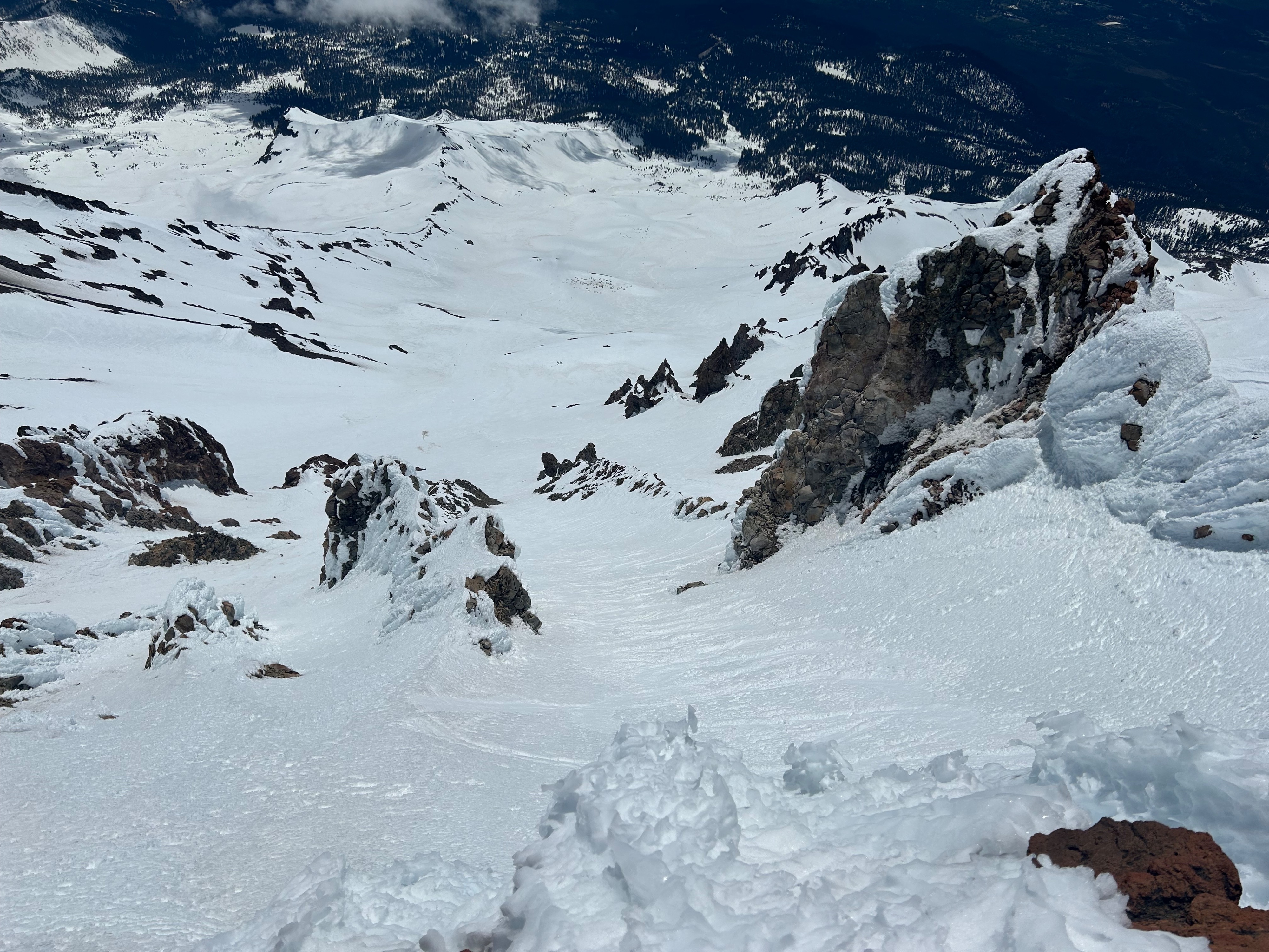
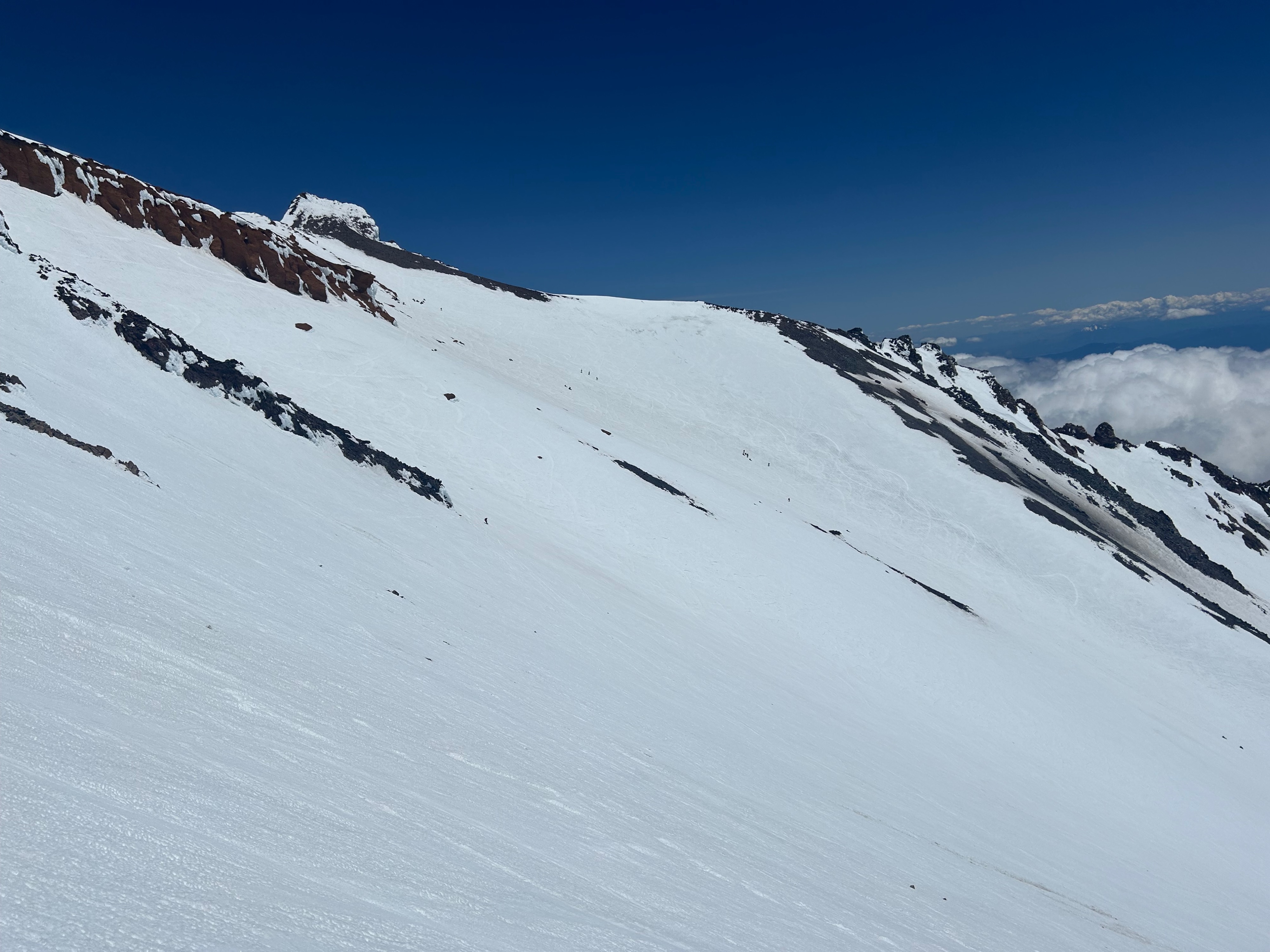
Starting at 6am with skis from Helen Lake, surfaces were frozen and provided great cramponing. Climbing right of the Heart and up to Thumb Rock, I encountered many variable and textured surfaces with semi-smooth areas. Below and right of the Heart at 11,500 feet in the center of the gully, climber traffic became quite congested and signs of previous rock fall were present. At first light, several small (apple) sized rocks were observed tumbling down from the Red Banks. Otherwise, no other hazards were observed on route.
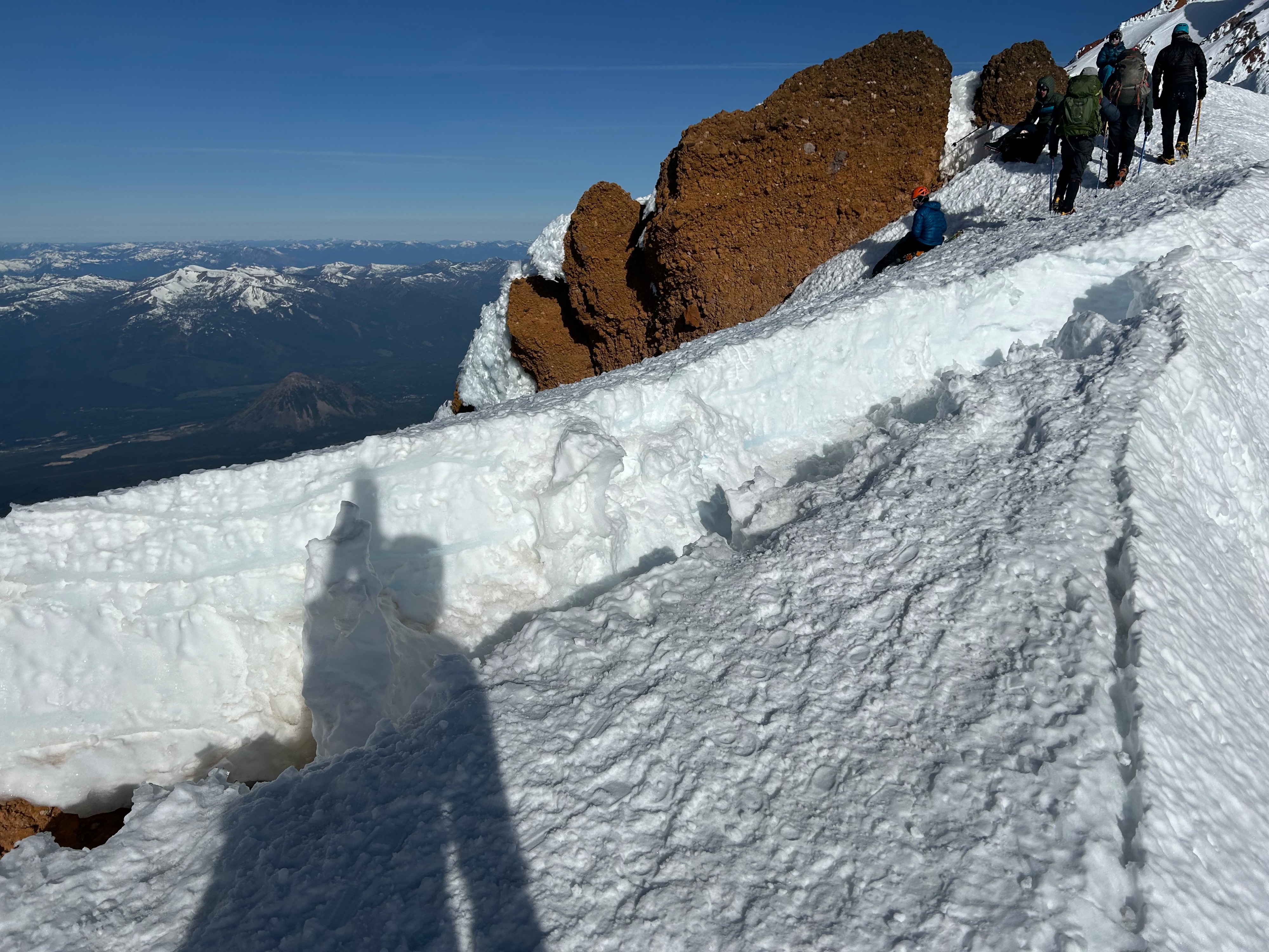
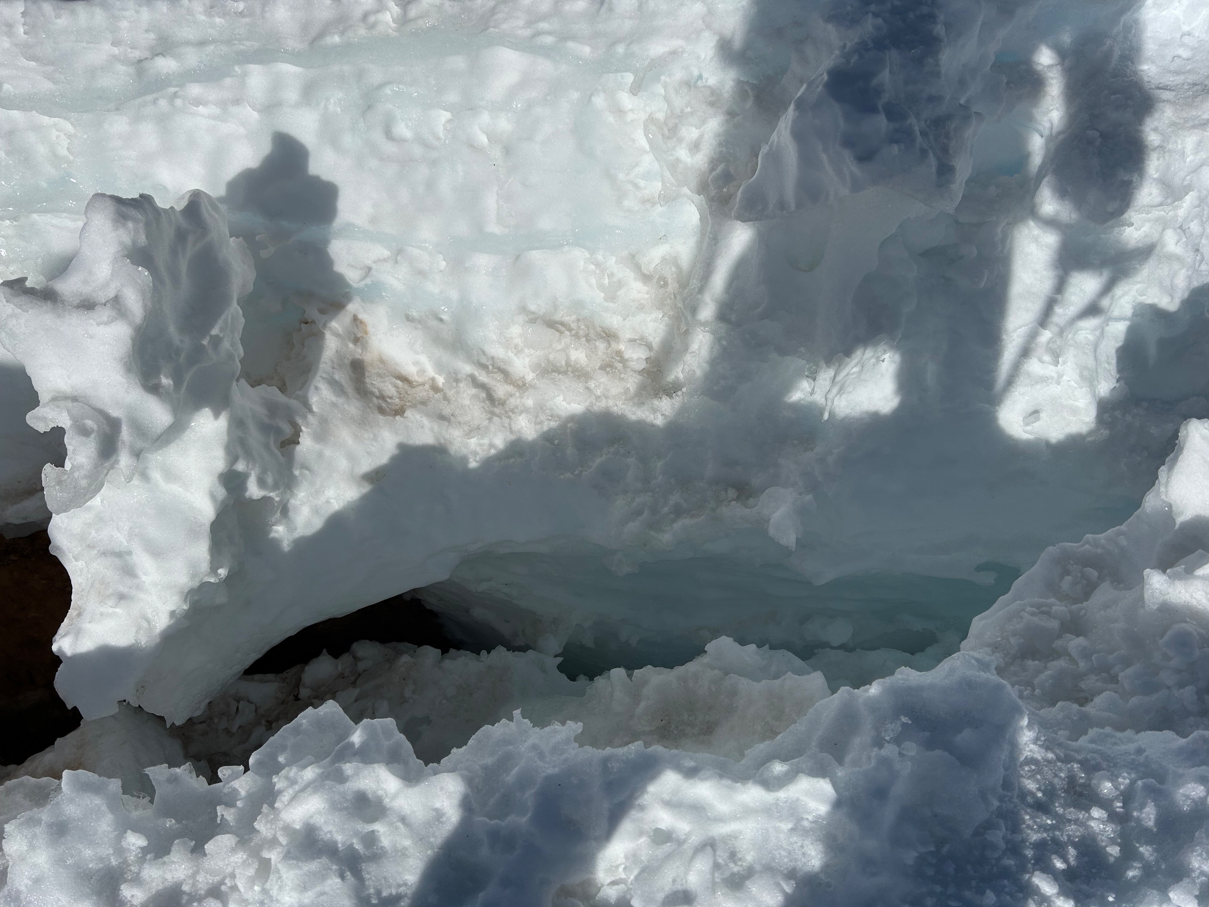
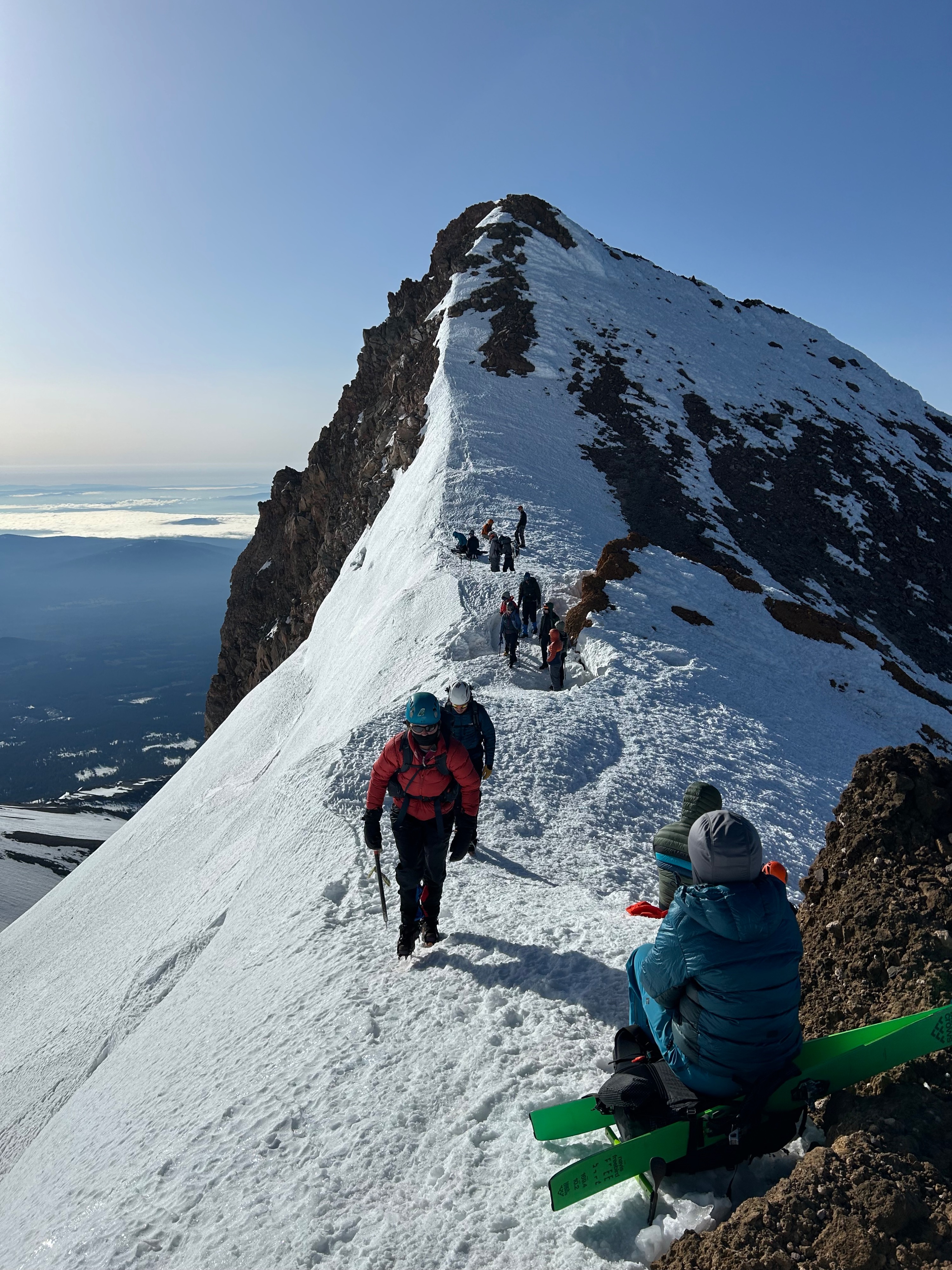
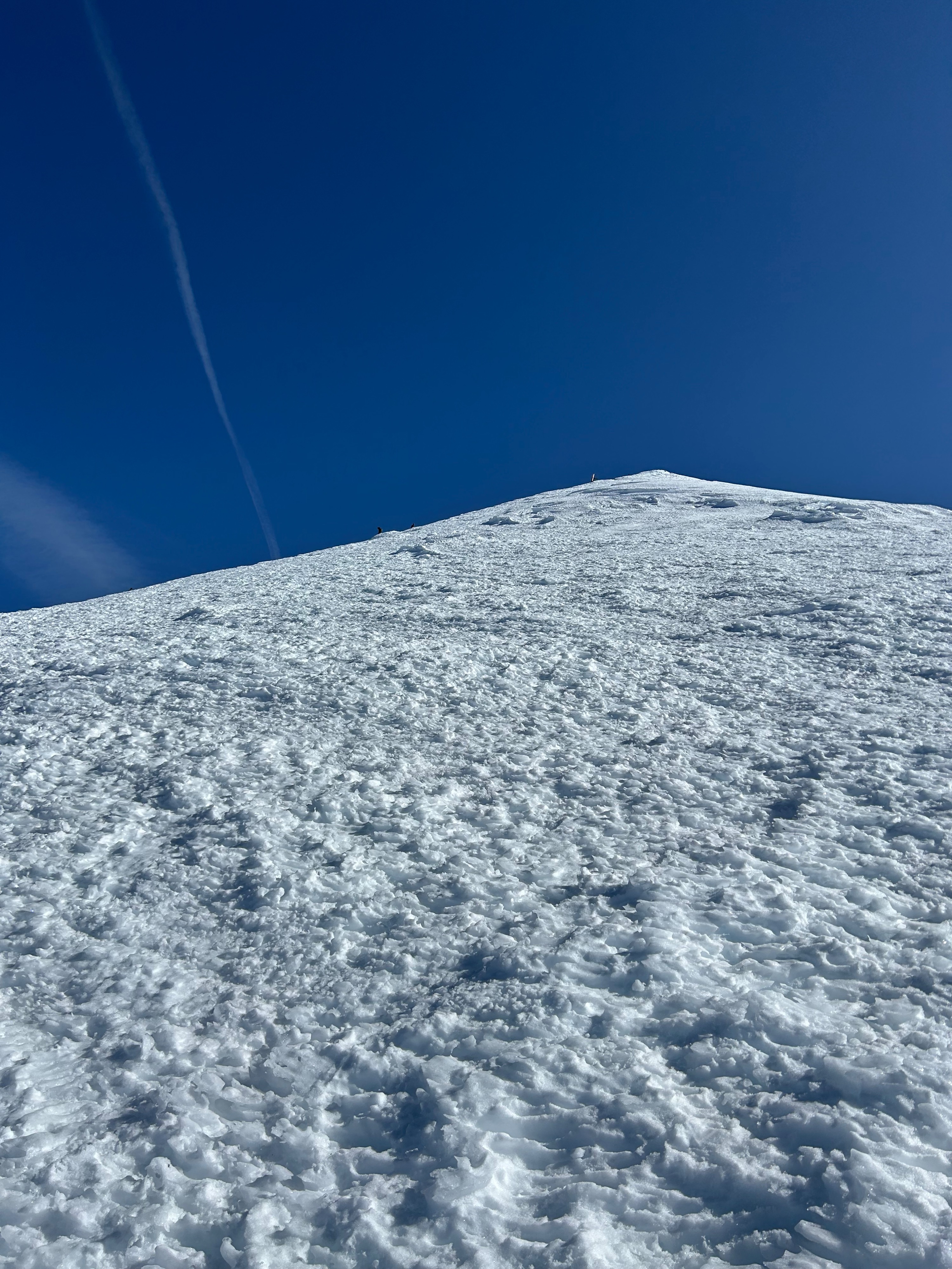
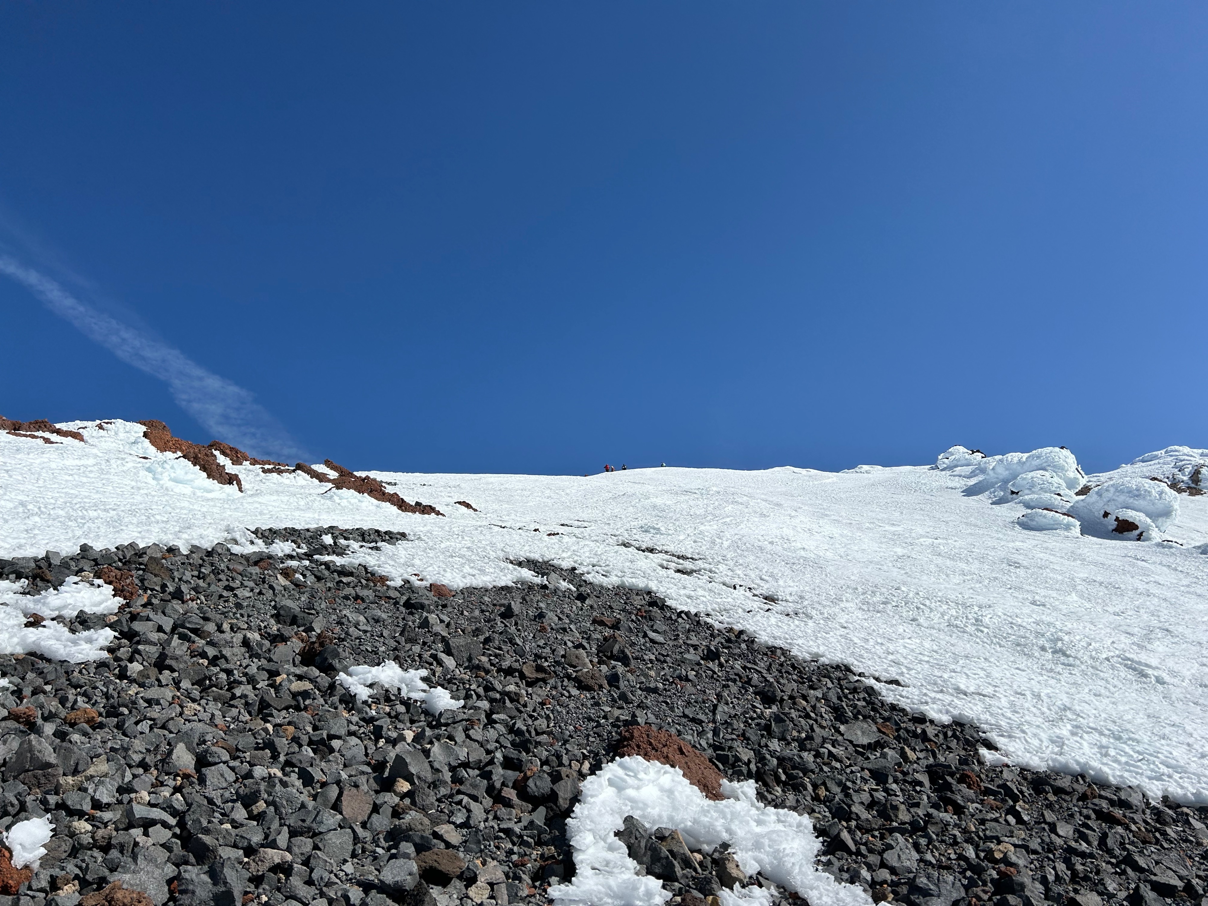
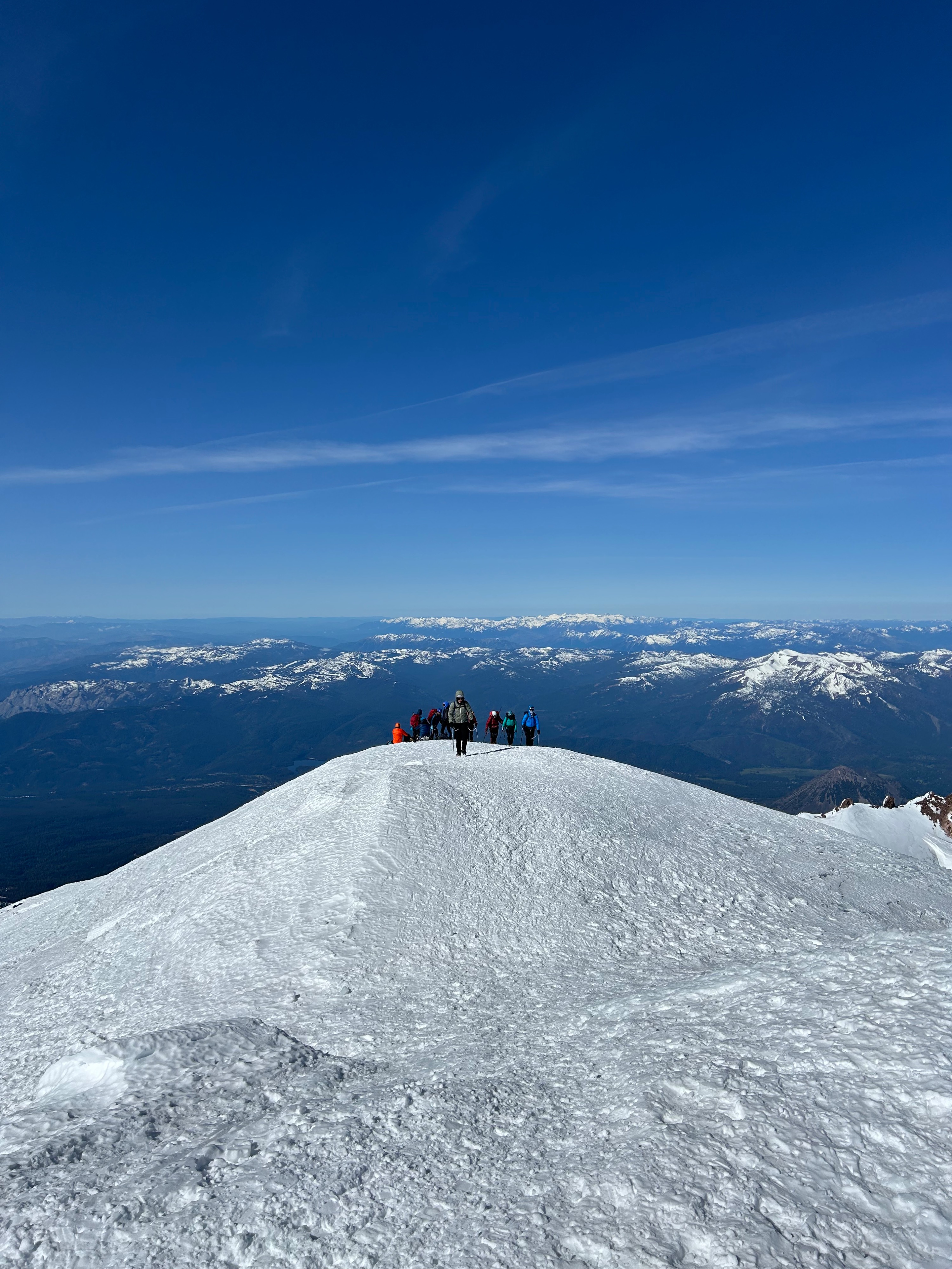
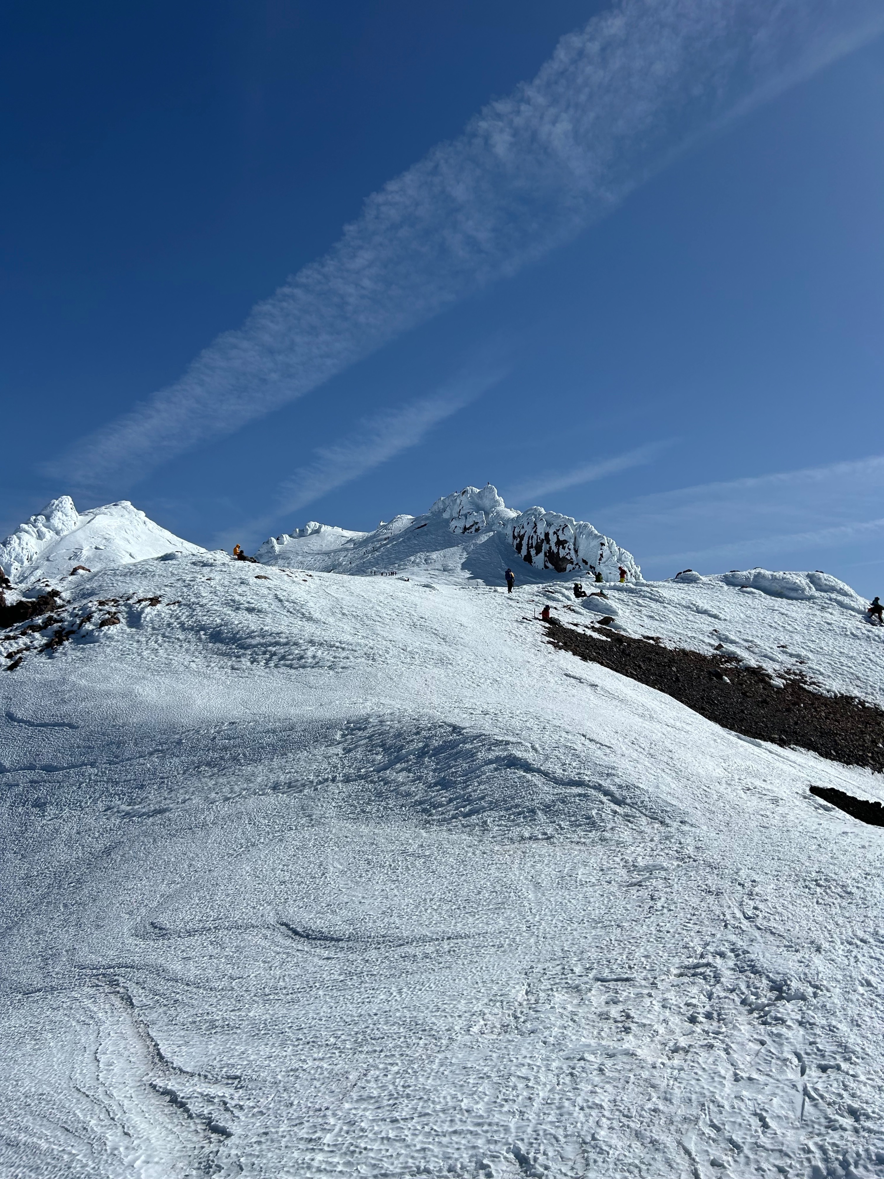
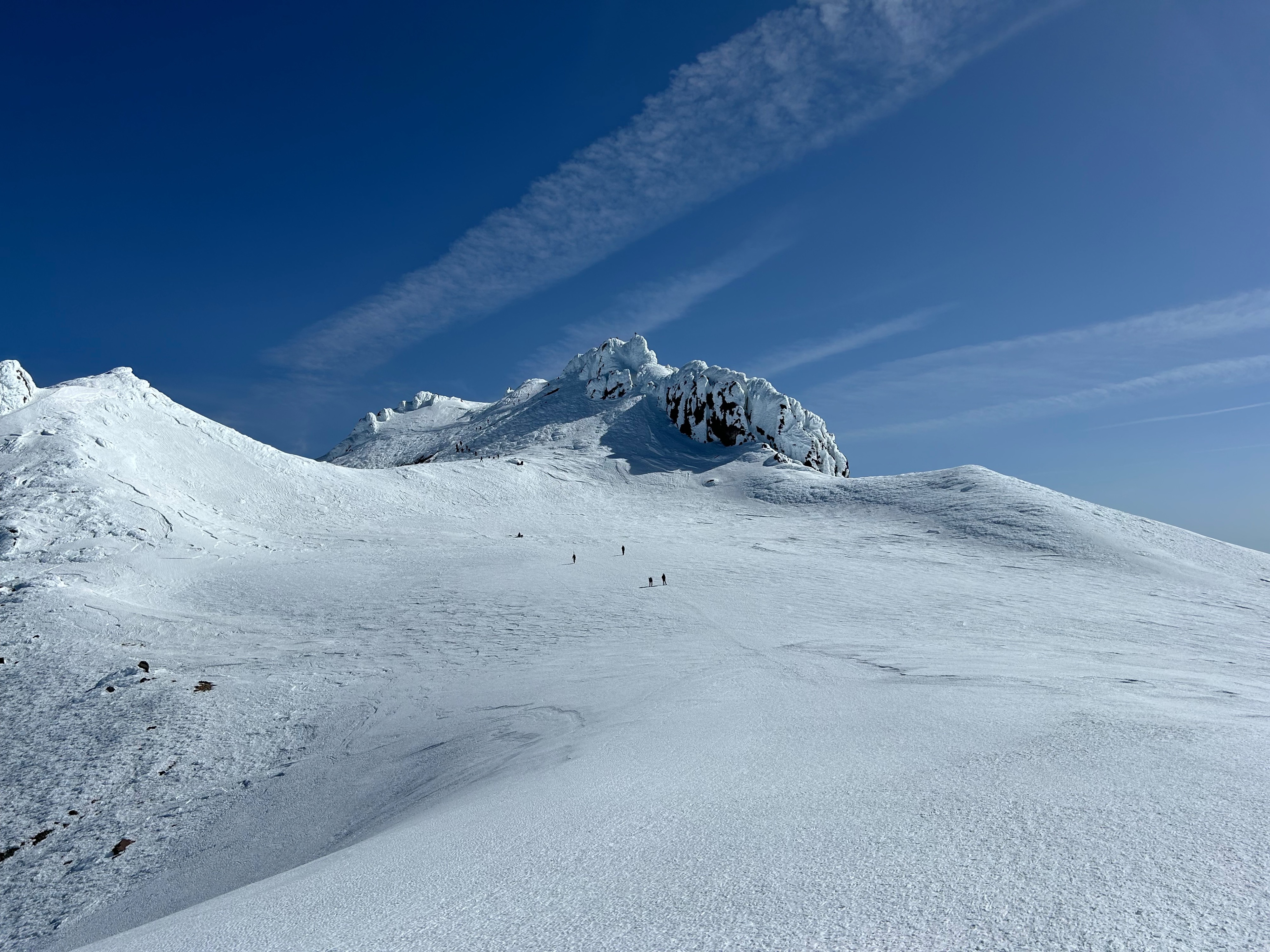
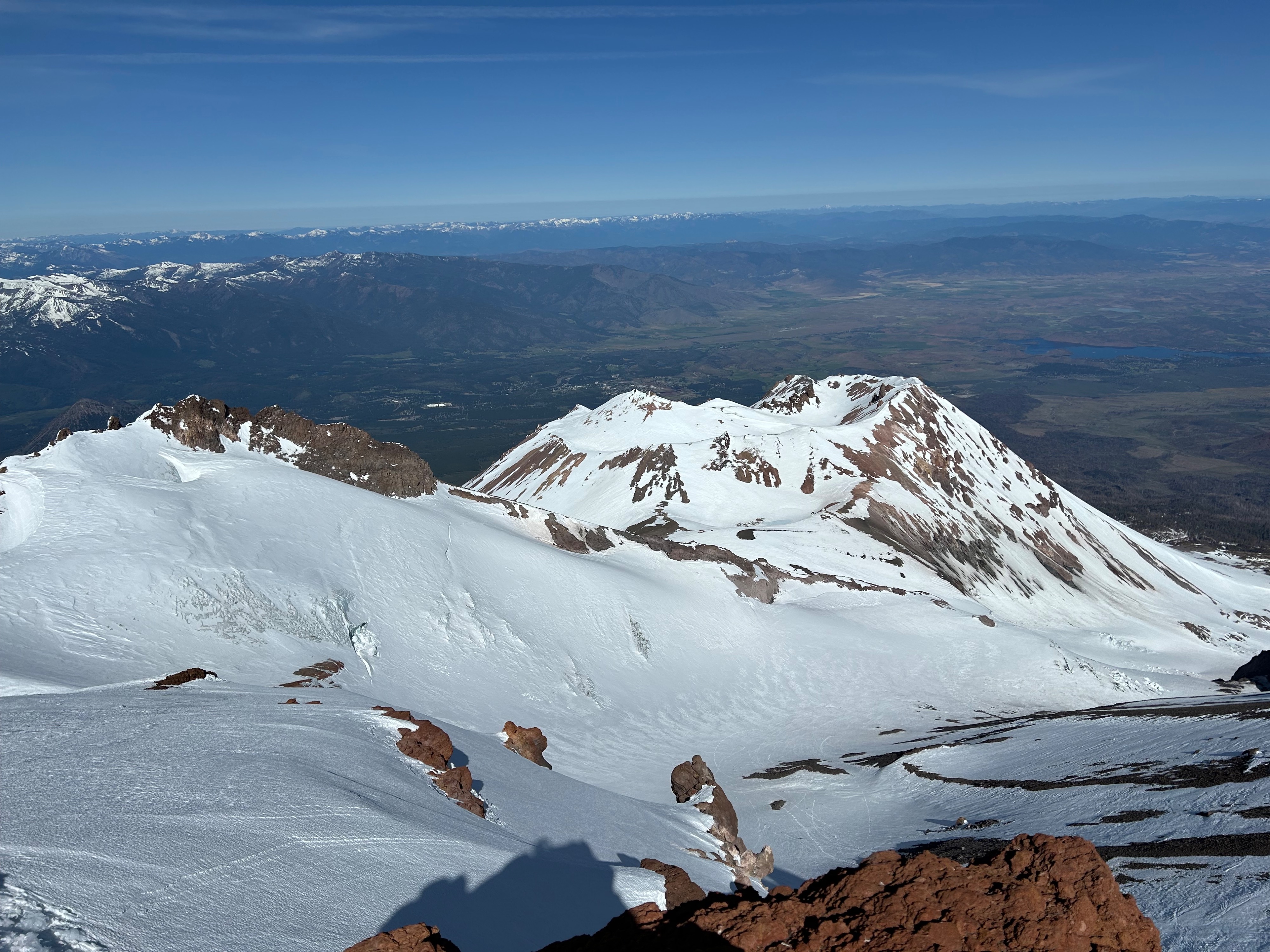
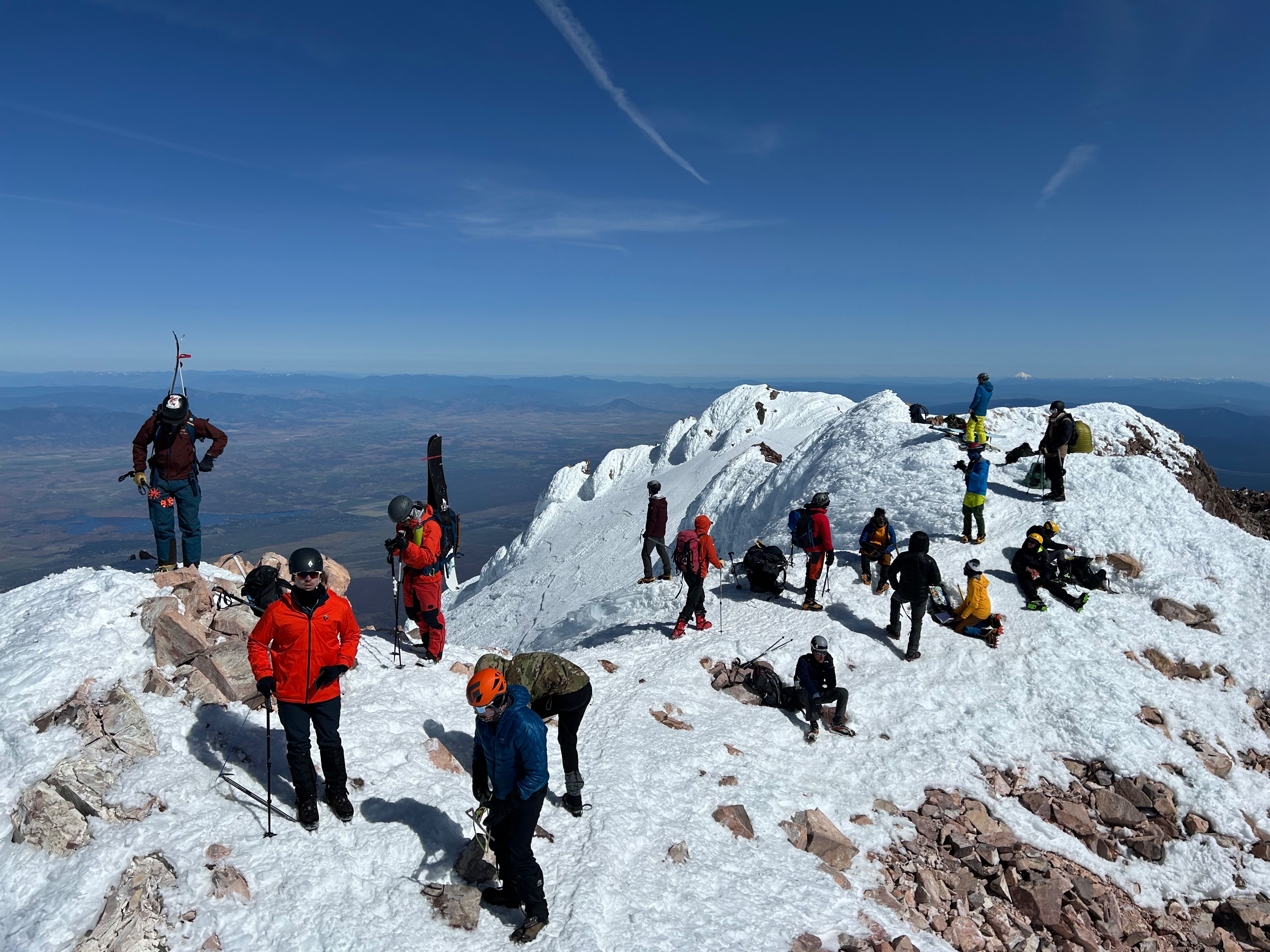
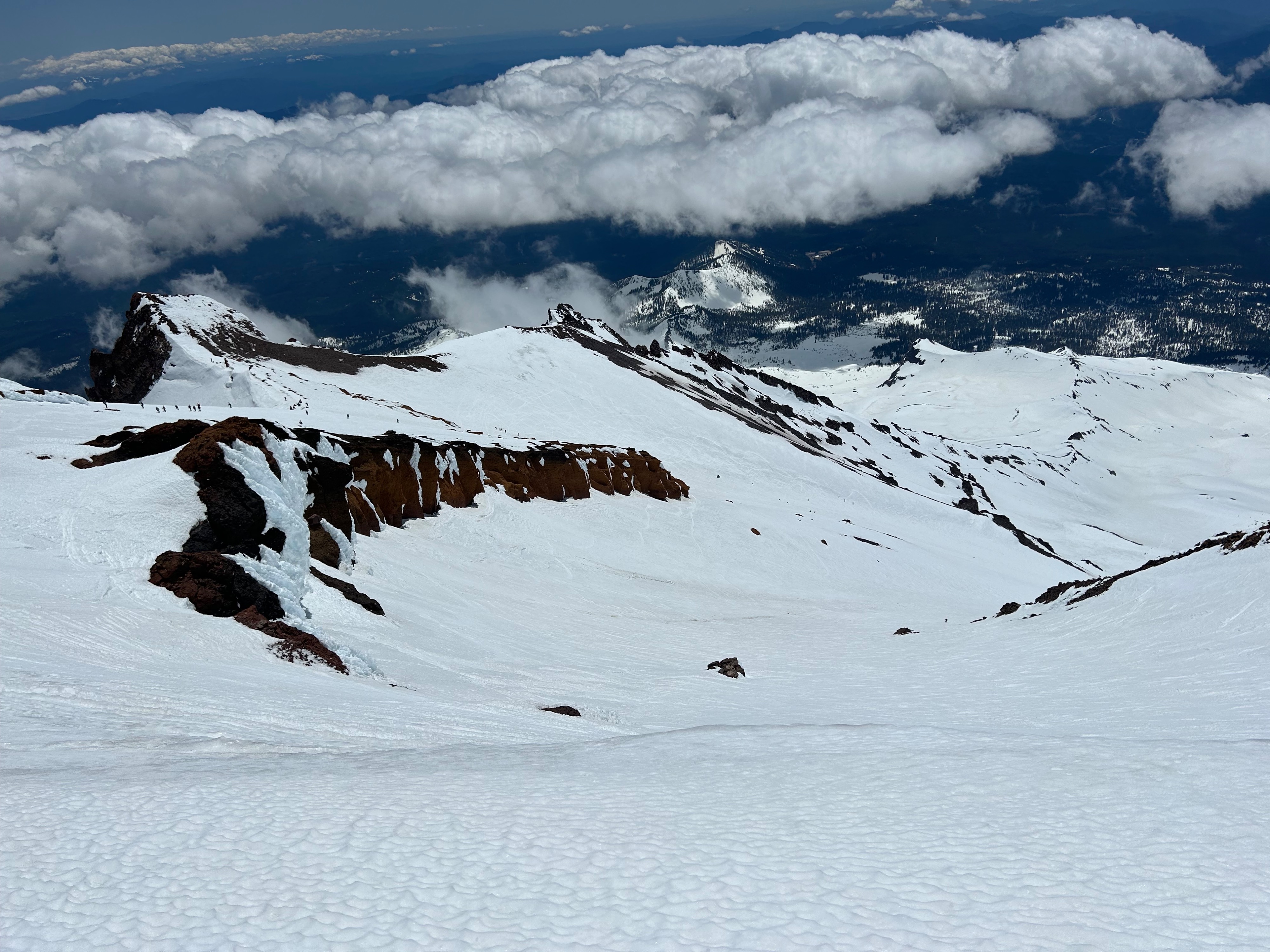
The chutes through the Red Banks are holding consistent snow coverage. Climbing to the left of the Thumb and gaining the ridge above the Red Banks is achievable. This is a less technical route than climbing through the Red Banks. However, the ridge between the Thumb and Short Hill is melting out and beginning to peel away from the rock. This is creating open voids that are bridged by snow. Careful footwork and balance is essential here. The bergschrund of the Konwakiton Glacier is not visible — yet. Expect conditions to change for this route in the coming weeks. From Short Hill to the summit panicle primarily firm and icy surfaces were encountered. Surfaces on the southeast aspect of Misery Hill softened by mid-day and small rock islands are beginning to melt out. South, southwest, and west aspects did not significantly soften. The summit panicle is primarily covered in snow and ice, with some rock mixed in. There's not a tone of room on the summit. Move cautiously, as it's easy to trip and lose your footing. Falling off the summit pinnacle would not end well.
Descending climbers right of the Heart is the standard route for non-skiers and is recommended. A glissade track exists from the Heart down to Helen Lake. Only glissade when conditions are soft enough and you know how to properly self-arrest. Glissading is a common cause of many accidents on the mountain. Never glissade above or through the Red Banks!
By 2pm snow surfaces at Helen Lake had softened considerably. Descending to Bunny Flat the snow softened but never to the point of posthole conditions. The snow quality drastically deteriorates below 9,000 feet and climbers and skiers will encounter sun cups and mushy conditions. Please remember to pack out all personal trash and be respectful to the place we all love and enjoy.
Weather
- Air Temp
- 55
- Cloud Cover
- clear
- Wind Loading
- none
- Recent Snowfall
- 0
- Snow Avail For Transport
- none
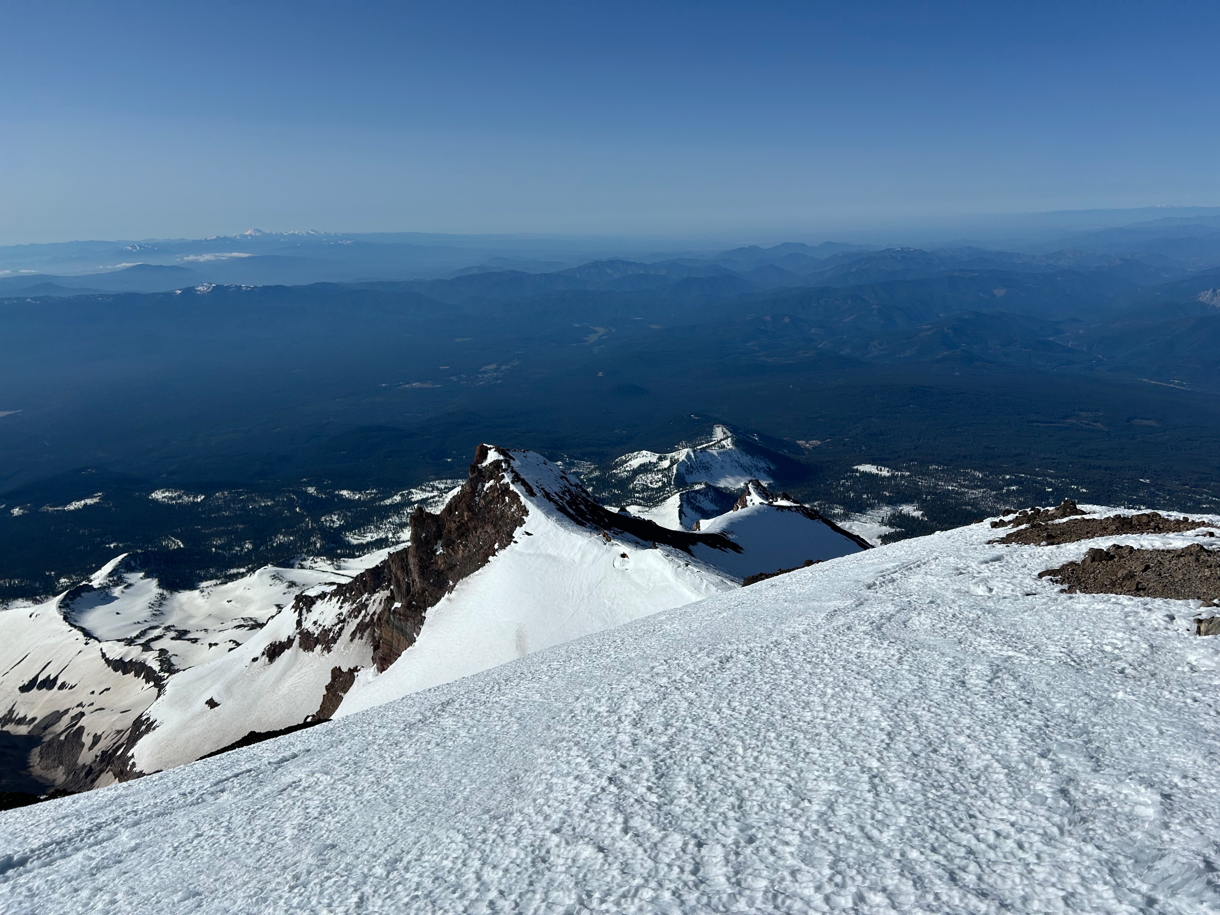
Stable weather provided a clear stary night that gave way to a beautiful bluebird day. Temperatures soared into the mid-50s with no partial low elevation cumulus cloud cover. Winds were calm to light out of the west in the morning.