
Quick report
We returned to Link Mountain, where previously traveled on March 19th (earlier in the warmup) to assess the changes in the snowpack. There was ample snow coverage on the road from 4000'.
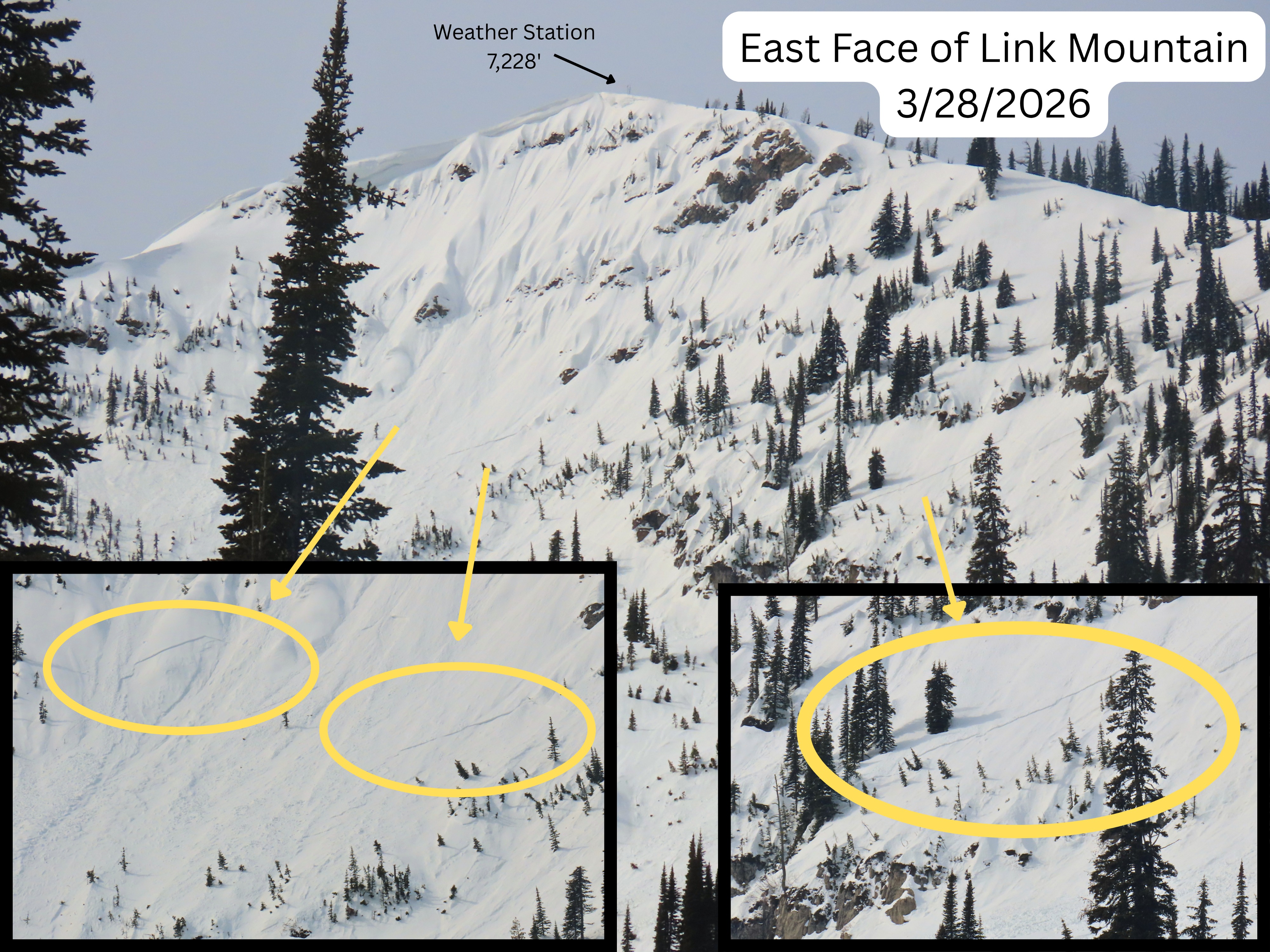
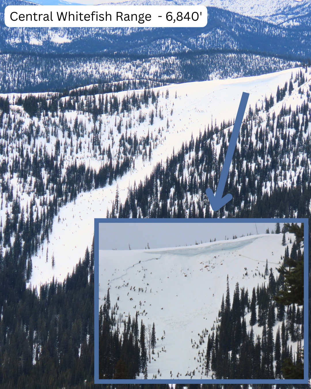
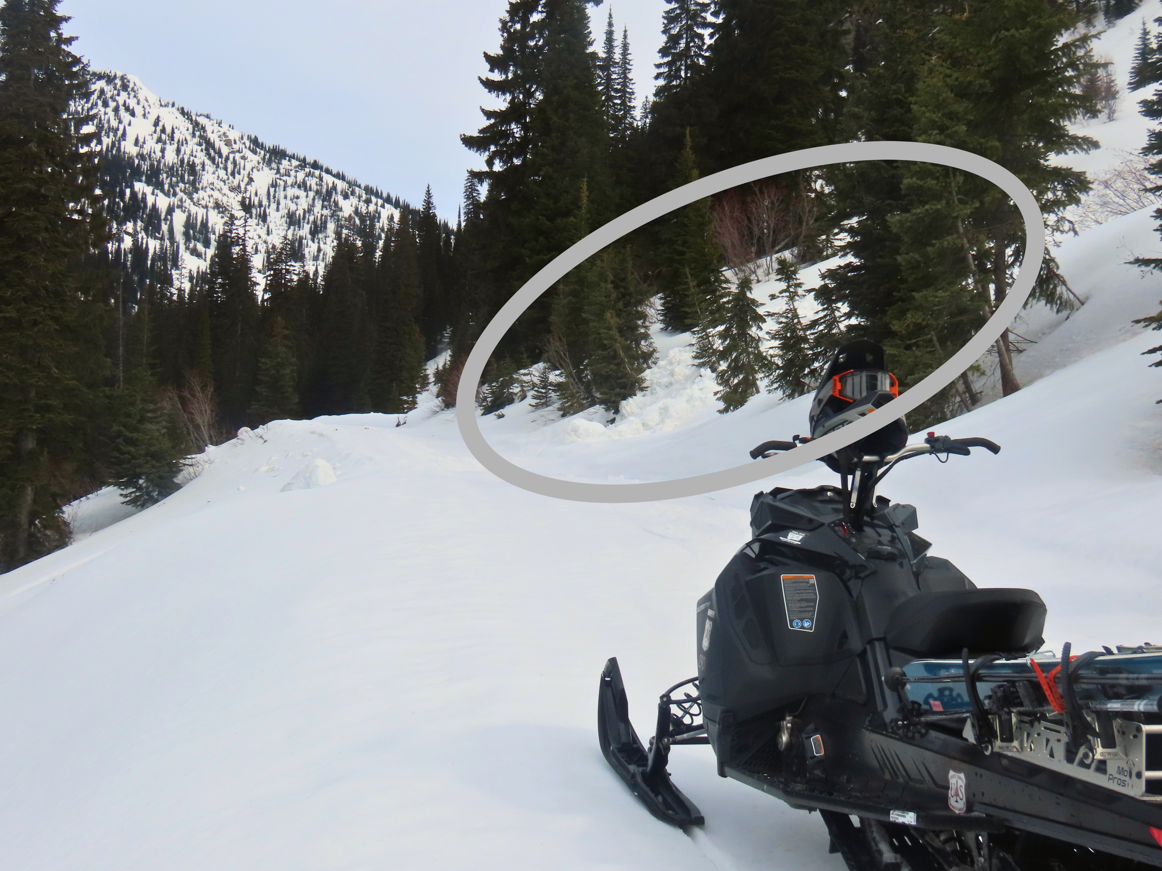
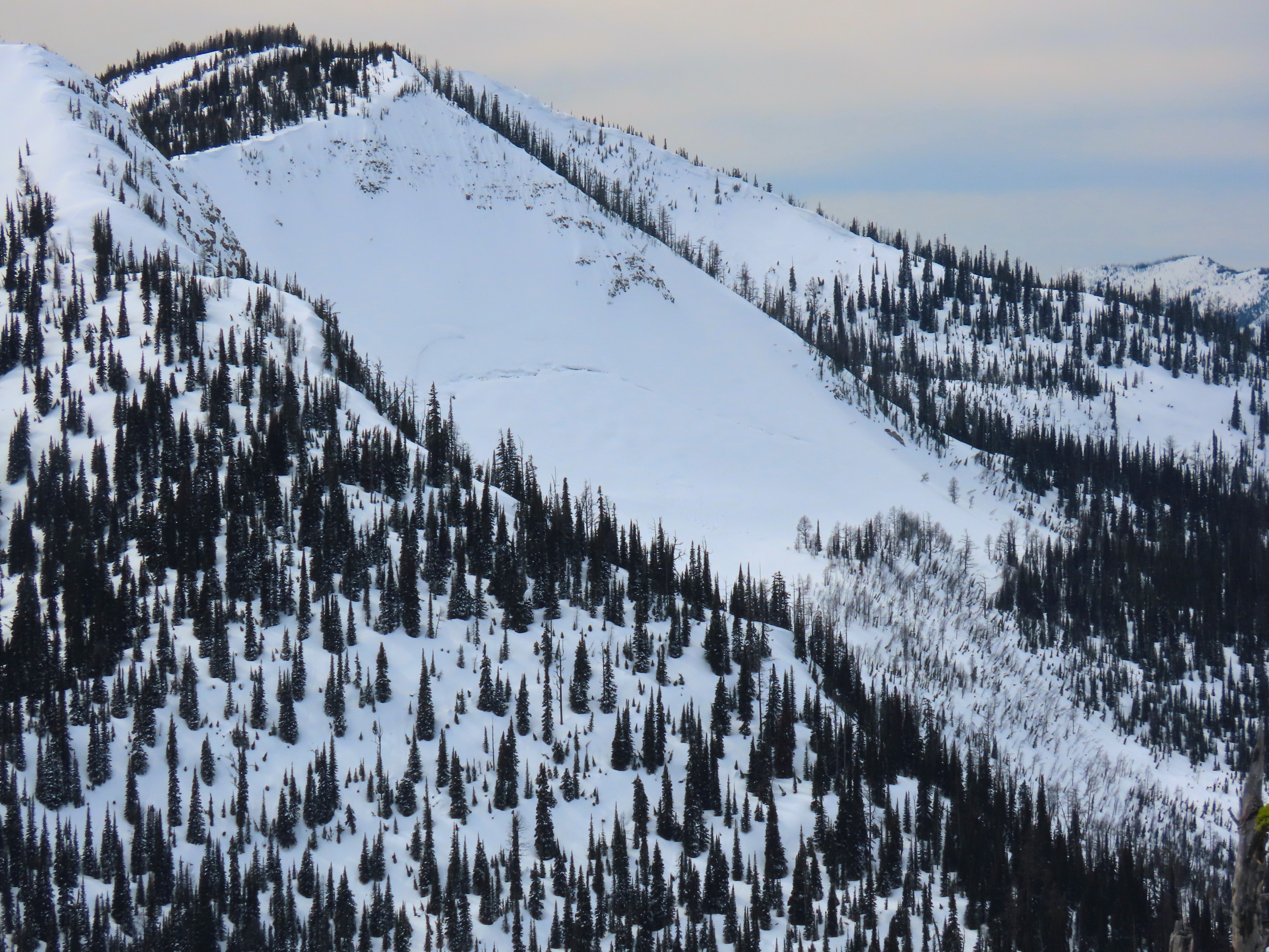
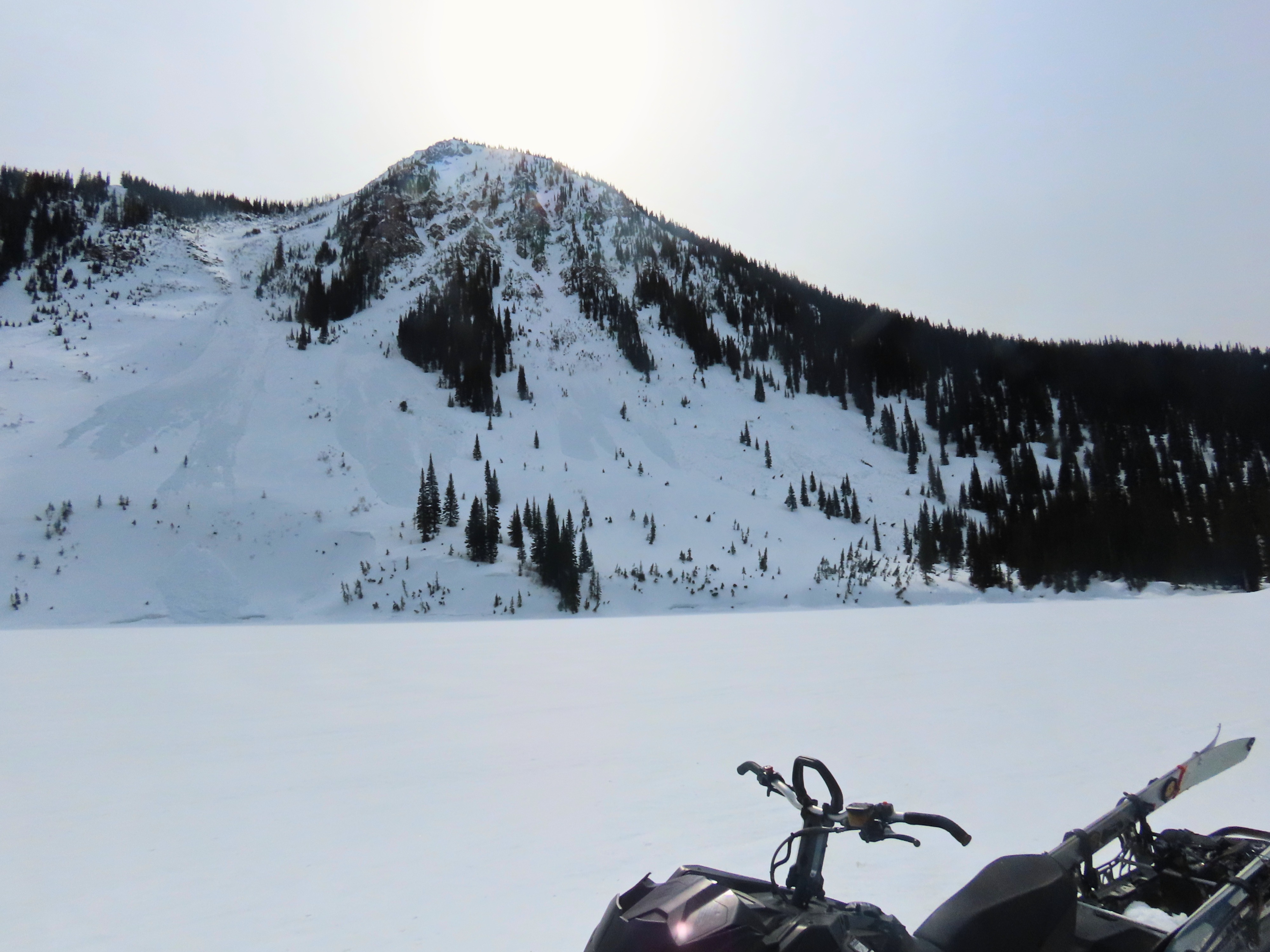
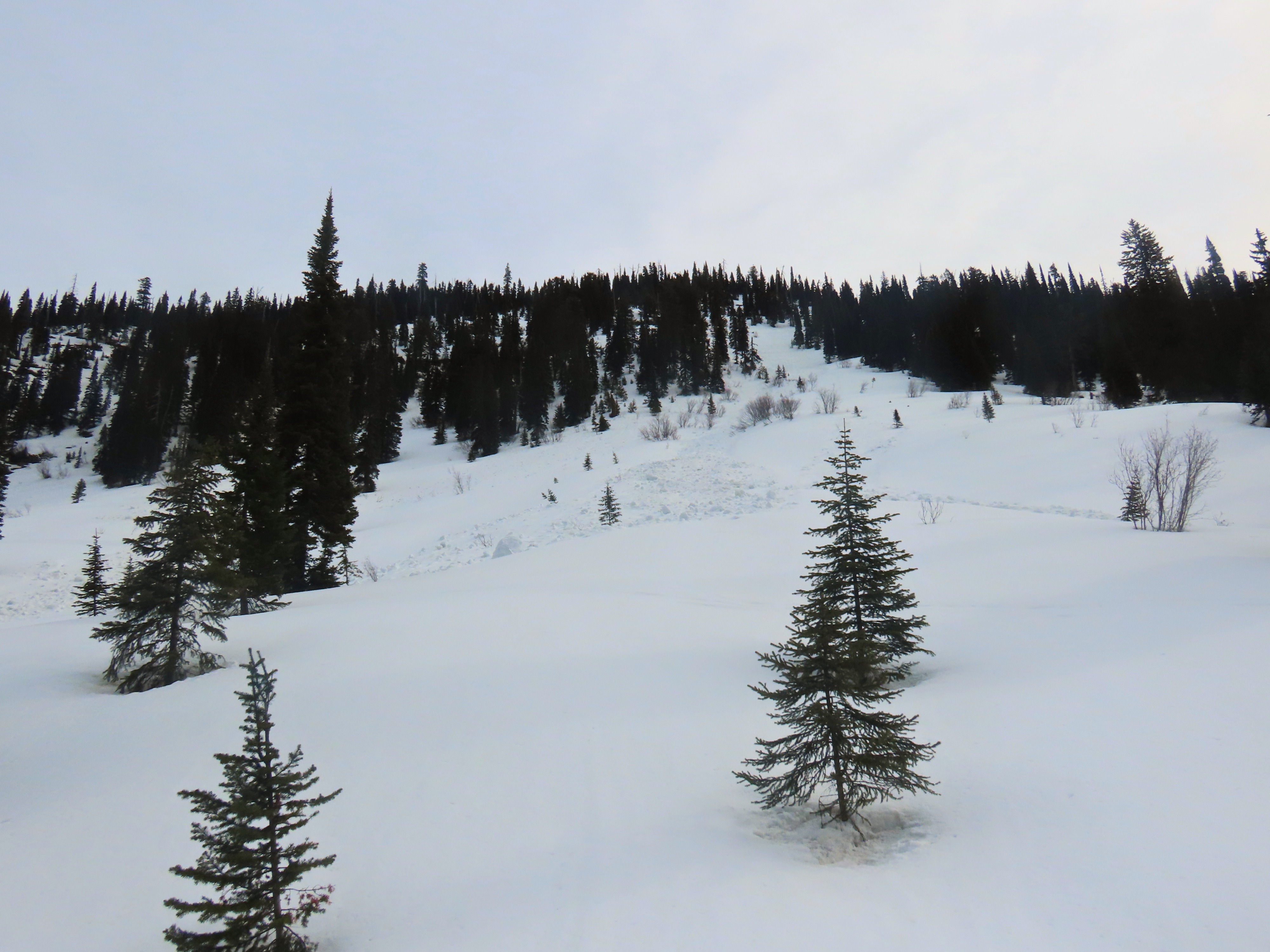
- Minimal recent avalanche activity. Whitefish Mountain and Link had a few smaller slab avalanches (presumed wind slabs) that appeared recent, but nothing that seemed to break on the JDL. On larger faces, we saw the same wet loose debris we saw on the 19th, with no signs of additional wet activity since then.
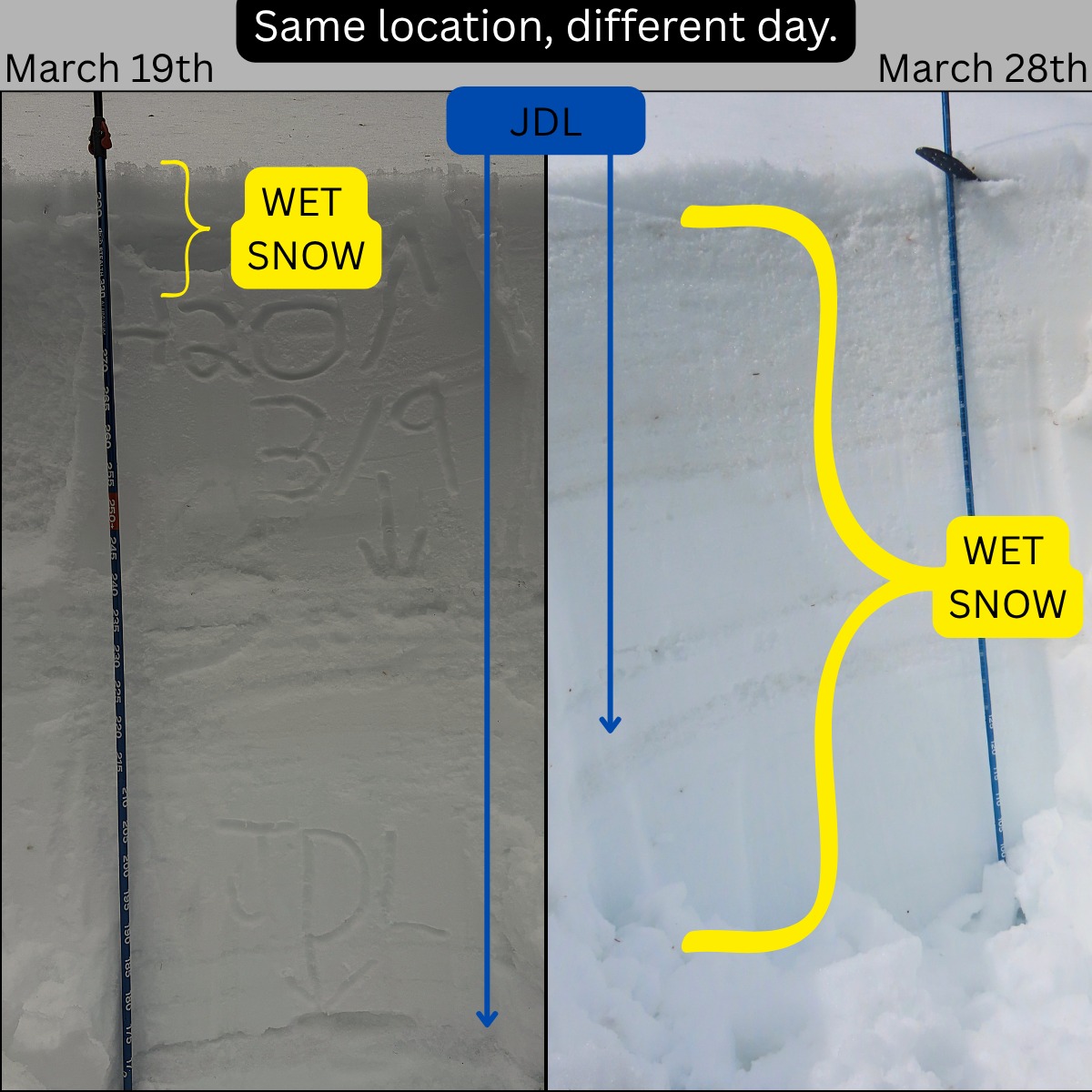
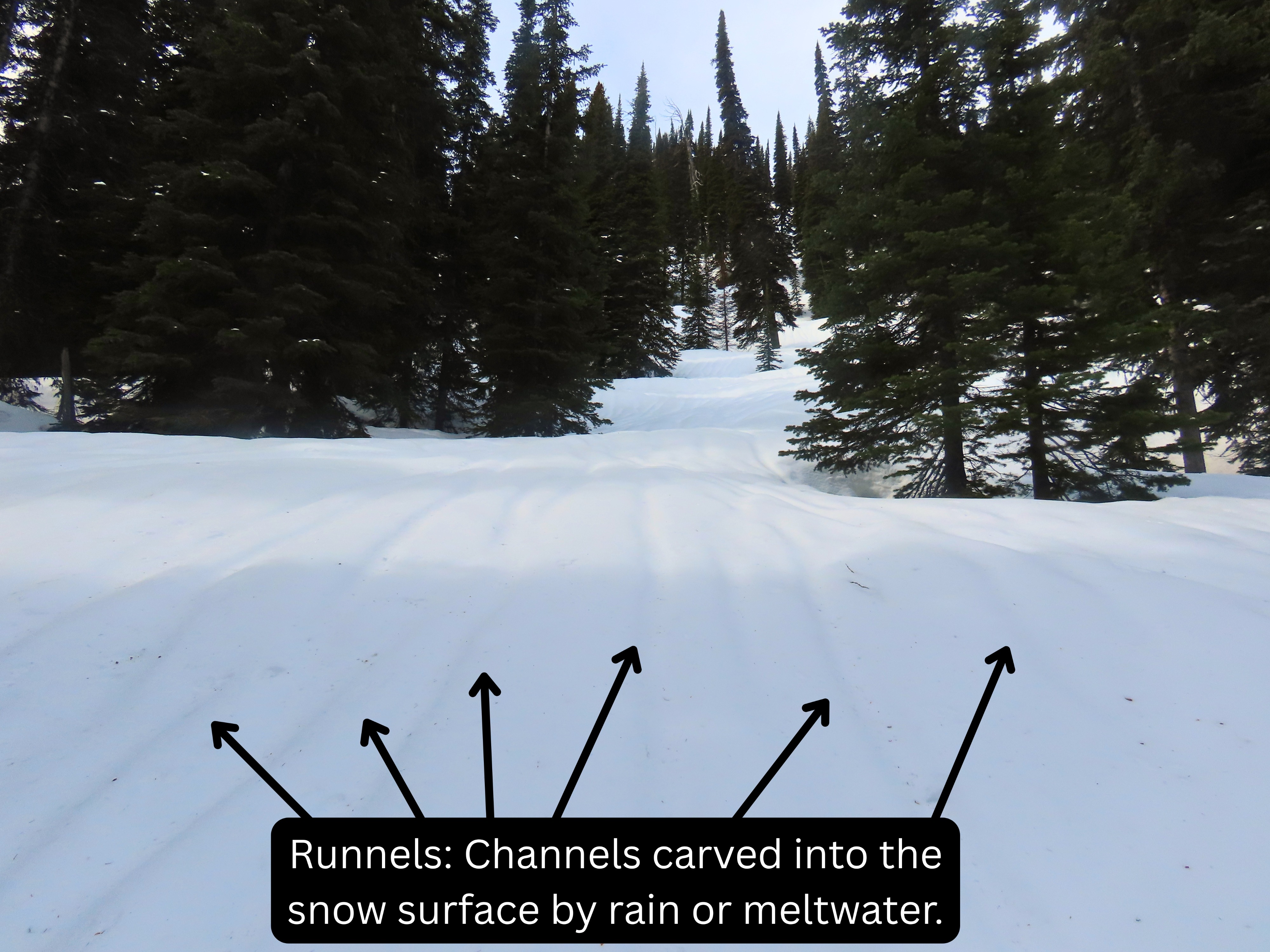
- Water had pushed much deeper into the snowpack than it had when we last visited. Rain from Tuesday's system was apparent, as new runnels were prominent until about 6200'.
- We dug a pit at 6100' immediately adjacent to the pit we dug 9 days ago. Then, water had only percolated down 4-6" and the JDL was dry and intact. Now, water had made it down to the JDL and transformed it into a hard "almost" crust, with no visible weak grains. HS at this pit location decreased from 300 cm on the 19th to 230 cm today.
- We continued to dig as we ascended. At about 6500', water had also made it to the JDL with a similar transformation.
- However, at 6900', the JDL was dry, intact, and the surface hoar was still present.
- On a north aspect above 6600', there was 4-6" of cold dry snow from Tuesday's storm. Solar aspects at upper elevations have no snow available for transport.
- Temperatures and cloud cover kept 'Yesterday's Corn' perfect for some softer skiing and riding; seemingly on all aspects (except north above 6600'). A few inches of melt-freeze snow above a very supportable base, everywhere we traveled. We descended a steep south-facing slope, and it was delightful.
Avalanche cataloging to follow.
Weather
- Cloud Cover
- broken
- Wind Loading
- previous
- Snow Avail For Transport
- small smounts
Filtered sun through high clouds early, building mid-level clouds late. Some greehousing. Moderate ridgetop winds. Great visibility to scan surrounding terrain.
Snowpack
We dug three snow pits to investigate how deep water had made it and the state of the JDL.
Pit 1 East Aspect @ 6100' - HS 230 - Primary wetting front down 45 cm - JDL down 90 cm had seen plenty of water. Now refrozen, turning into a crust. P-hard, no visible weak grains.
Pit 2 North Aspect @ 6550' - HS 330 - Primary wetting front down 45 cm - JDL down 125 cm. Same as above, had seen water, refrozen and becoming a crust. Hard with no visible weak grains.
Pit 3 North Aspect @ 6950' - HS 365- No wet snow at present. Evidence of wetting front down approximately 30 cm - JDL down 135 - dry, intact, soft, visible surface hoar.
Avalanche
- Size
- D2
- Type
- HS
- Count
- 5
- Aspect
- NE
- Trigger
- N
- Elevation
- 6000 ft
Some older wet loose slides that just reached/crossed Red Meadow Creek Road, two old hard slabs off the south ridge of Whitefish Mountain, three recent presumed wind slab avalanches on east face of Link, and a recent small wind slab off Red Benchmark.