
Quick report
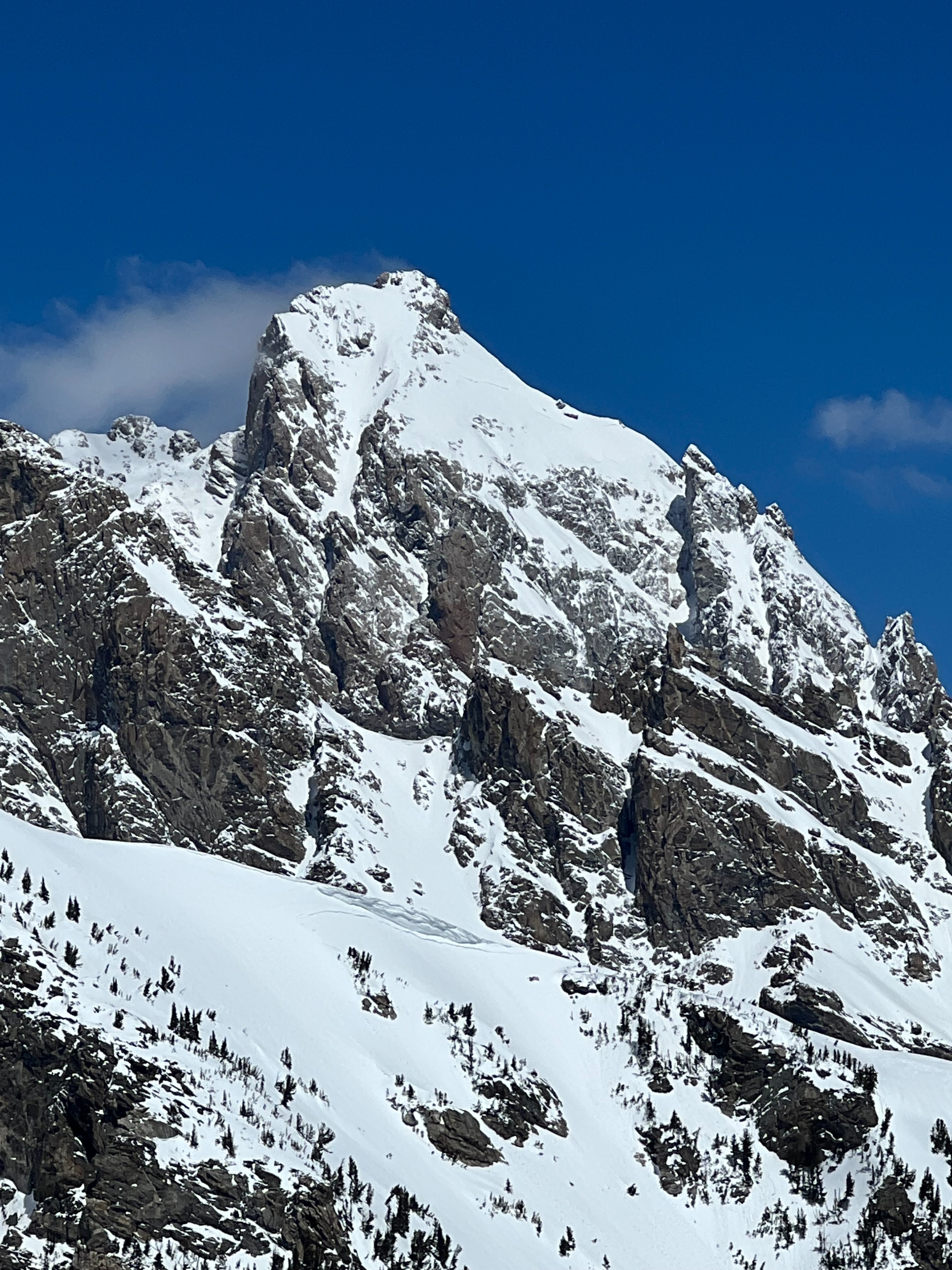
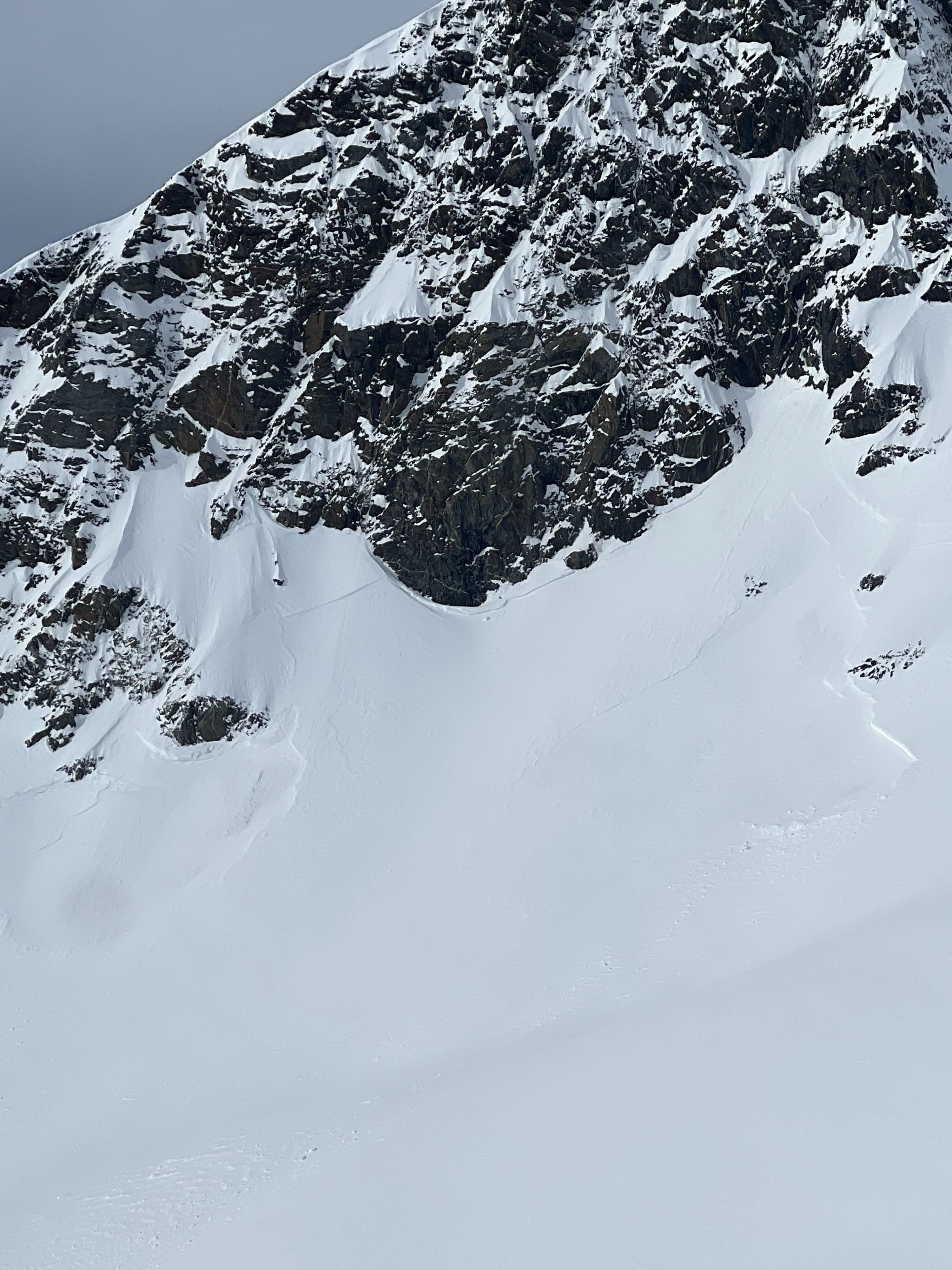
Impressive May avalanche cycle from the recent storm with widespread activity on most aspects in the upper elevations. Large propagation of avalanches likely failing on new to old snow interface. Found some lingering instability on wind loaded terrain with moderate planar hand shears failing on hardness changes and the stout crust buried 30cm on 5/6. Warm temps and solar today will make most dry snow problems stubborn tomorrow. Dry snow was found primarily above 10,000' and above 9500' on true northerly aspects. Snow surfaces froze last night but did not freeze recent snow creating knee deep boot penetration on wind loaded terrain even on southerly aspects. Northerly aspects were scoured above 11,000' from recent strong wind event. Variable alpine conditions exist. Very wet, suction snow surfaces by 12:00. Wet loose avalanches were easy to trigger by noon with natural wet loose seen on steep slopes surrounded by rocks. Consistent snow coverage starts at around 8,000' from Death Canyon trailhead. Bring your walking shoes.
Keep an eye on temperatures overnight as they may not drop below freezing for very long. Superficial refreeze will likely occur with steady wind and clear skies but expect these surfaces to warm earlier tomorrow. Plan your day early if venturing into the alpine. Lots of recent snow that could shed off the mountains.
Widespread wet loose avalanche activity seen on steep slopes around rock features below 10,000'.