
Quick report
- Cracking
- isolated
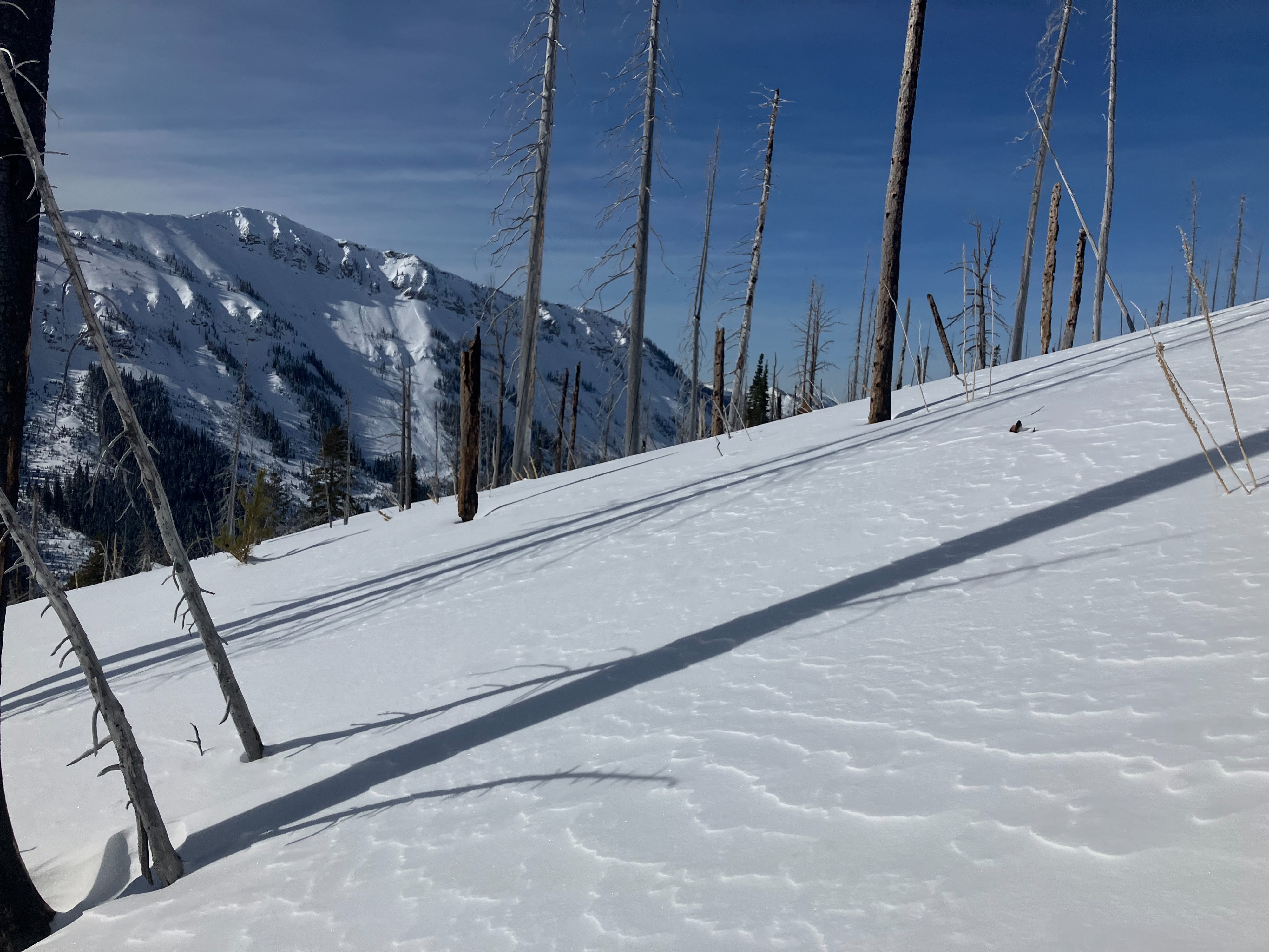
We visited an area that has not received observations and has a reputation for a thinner, more Continental snowpack. Our goal was to assess the snowpack structure prior to potential loading over the next week. With the clear skies, we were able to view all aspects at mid and upper elevations.
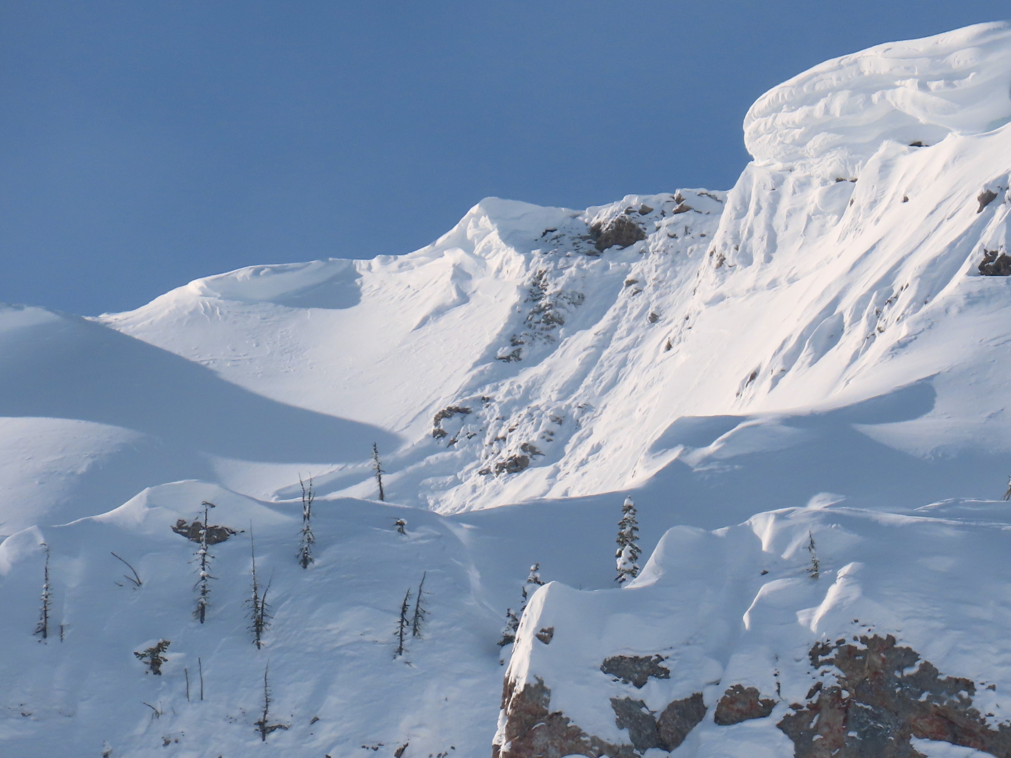
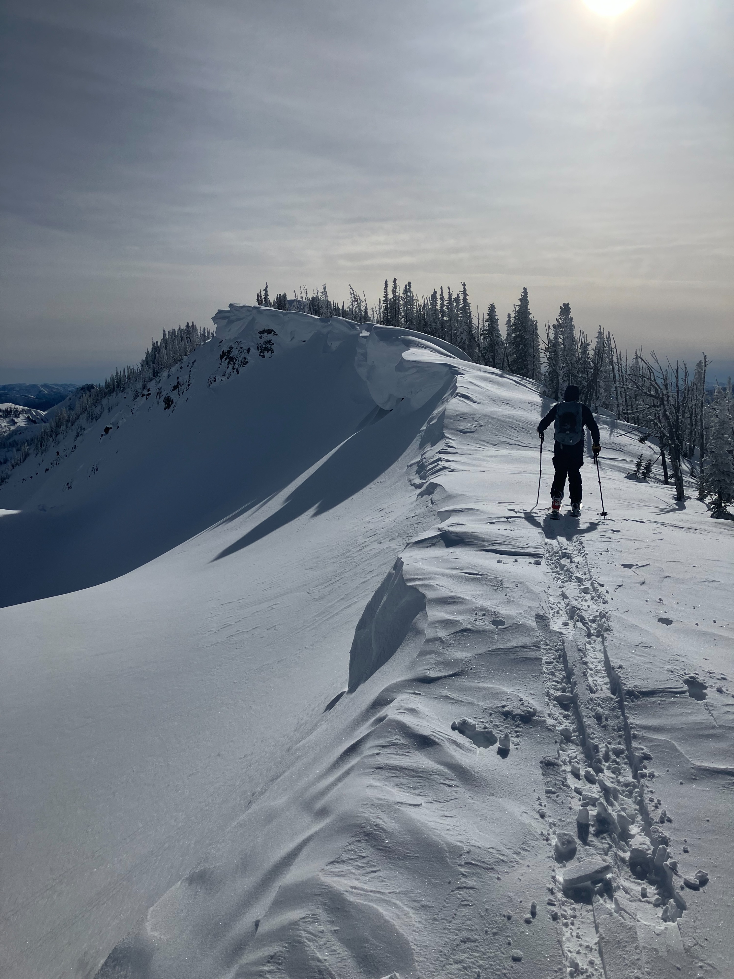
- We saw 2 x natural avalanches (up to D2.5) from cornice falls and natural sluffing in steep terrain. Suspected the cornice failures happened on Monday, during the stronger winds.
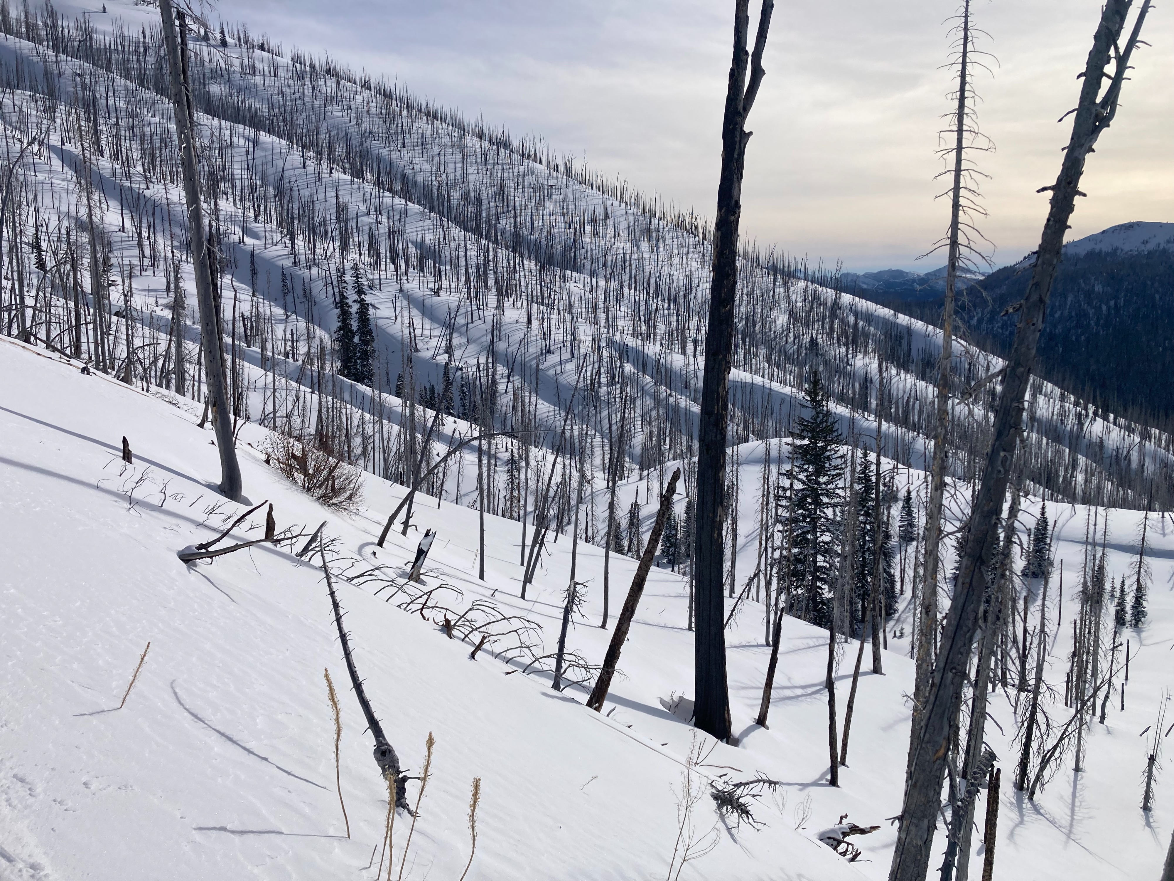
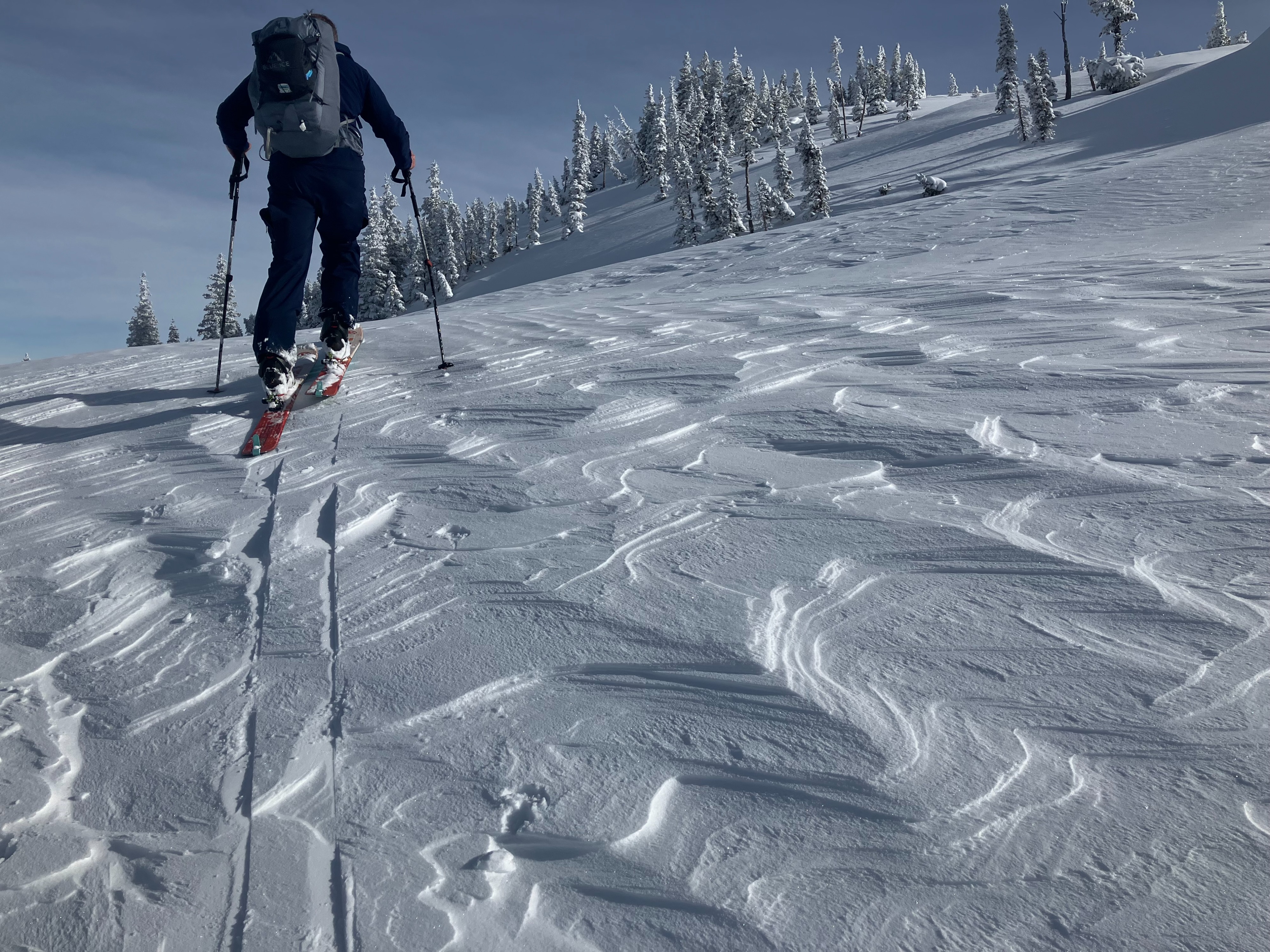
- We ascended and descended over wind-scoured snow, recent drifts, hard old wind slabs, shallow and faceting spots, and a thin, breakable wind crust in the upper snowpack. We had limited signs of instability - short cracks, a few muffled collapses, and propagating results in tests on a cross-loaded, upper-elevation slope. Old and hard cornices were unreactive to our weight, though we didn't push our luck on the largest. Blowing snow visible at peaks well to the SW of the forecast zone.
- Alphabet soup of weak layers and structures today. Basal depth hoar. Crusts. Striated depth hoar. ECTNs and ECTPs. Facets. Buried surface hoar. Inconsistent depths and structure. January junkshow.
Our impression was that mid elevations had the weakest, most variable snow and greatest potential for Persistent Slab avalanche hazard with loading. This elevation band is rife with terrain traps like gullies, many of them cross-loaded.
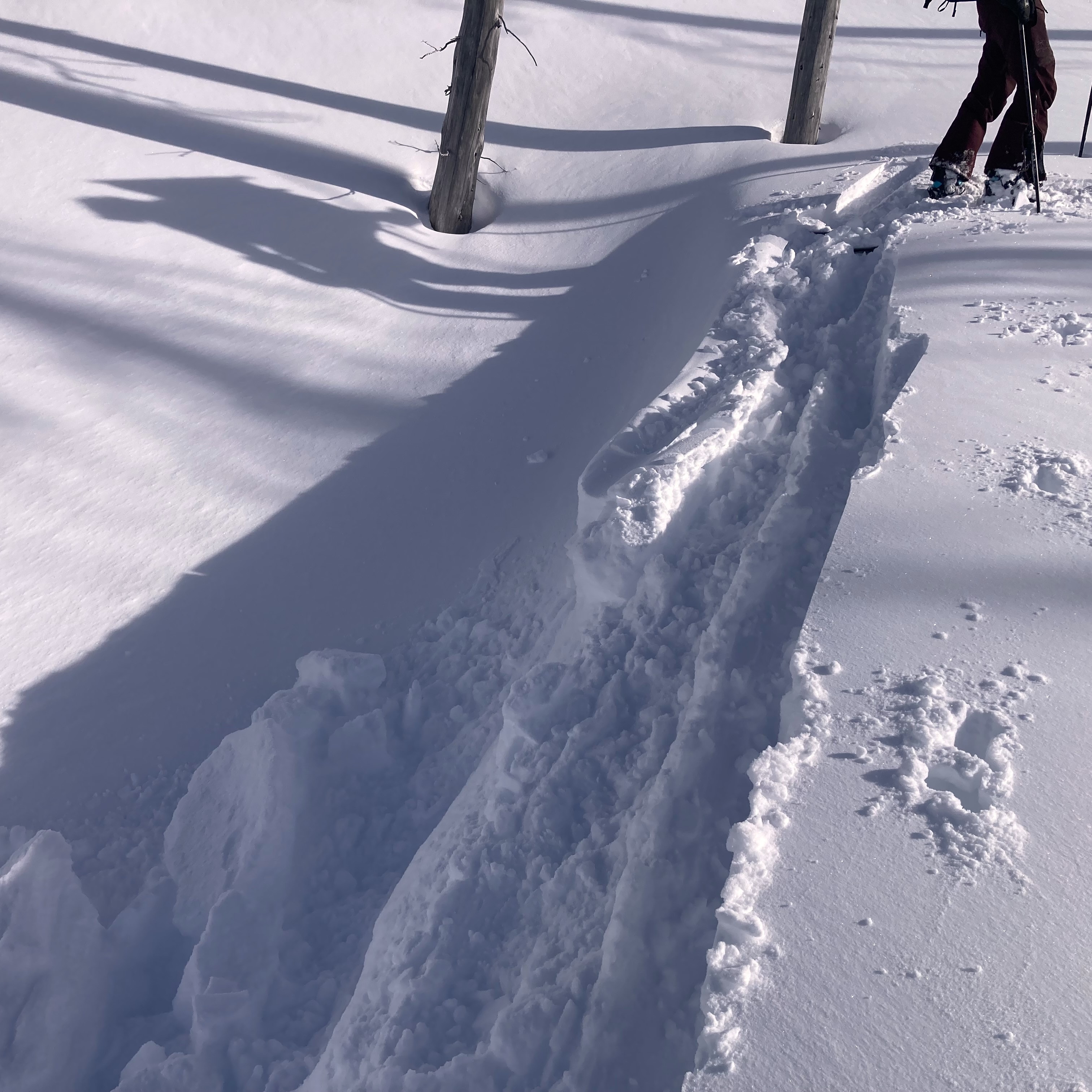
Short radial cracks within 0.5 m of skis.Weather
- Air Temp
- 12
- Cloud Cover
- few
- Wind Loading
- light
- Rain Elevation
- 0
- Snow Avail For Transport
- moderate amounts
The temperature was -3° F when we started. Clear skies transitioned to scattered skies to our south, which reduced solar radiation. Obvious increase in temperature through the day; we were almost down to our baselayers! Calm and increasing to light wind speeds as we ascended the ridge, where we felt the cold air and winds from the eastern plains. Obvious front moving from the southwest late afternoon.
Snowpack
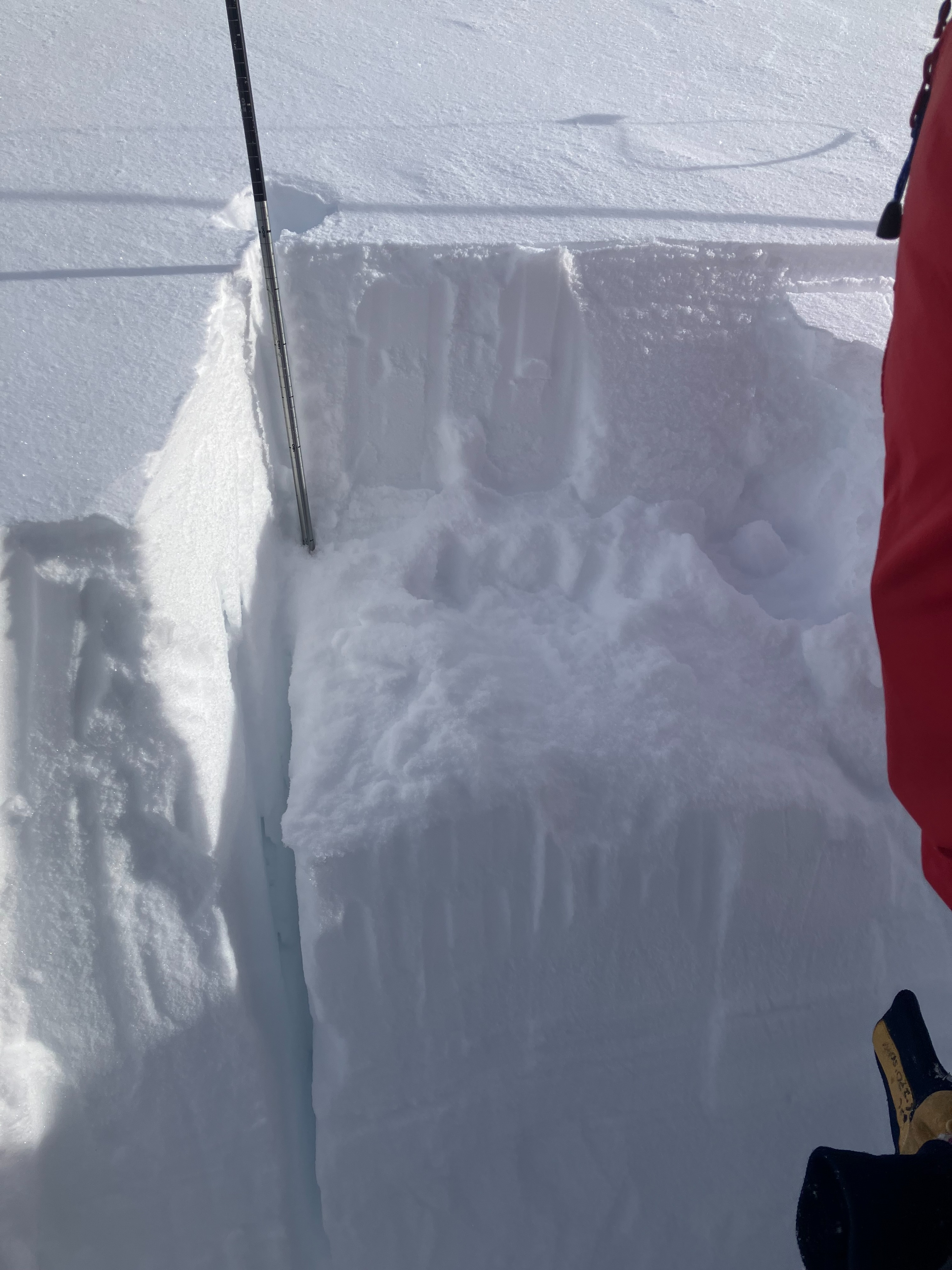
A pit on a shallow, southwest slope at mid-elevation showed depth hoar chains at the snowpack base and 2 crusts with facets in between at ~30 cm down. The junkiness of the January junkshow at mid-elevations was suprising to us. Upper elevations seem to have a deeper, stronger snowpack except where wind affected. We recieved propagating results on a NW slope at upper elevations on a weak interface with surface hoar in the upper snowpack (ECTP7) and on facets beneath an old, stubborn wind slab 28" down (ECTP28).
- 5500', SW
- HS=70cm
- Multiple weak layers present, but no cohesive snow above.
- Two pencil hard crusts with F-hard facets and depth hoar in between down about 30 cm.
- 25cm of depth hoar chains at base of snowpack
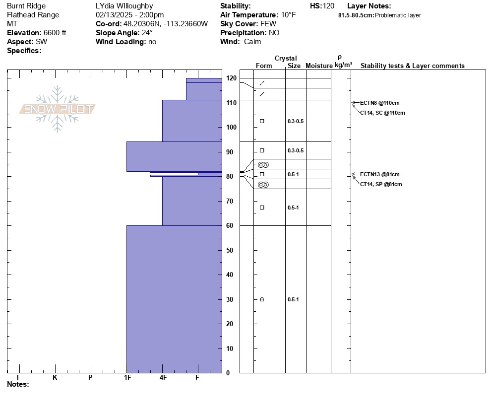
- 6600', SW
- HS=120cm
- Soft snow upper 9cm above various facet + crust interfaces on top of facets in the lower 82cm of snowpack.
- ECTN8 and CT7SC down 10cm in 4F facets
- ECTN13 and CT14SP down 38cm on 1mm facets (F) between 2 very thin crusts (4F+)
- 7100', NW
- HS=200cm
- ECTP7 down 30cm on weak interface between wind drifted snow
- Pencil+ hard wind crust down 70 cm; 4F layer of facets below that fail and propagated (ECTP28).
Avalanche
- Size
- D2.5 R3
- Type
- C
- Aspect
- NE
- Trigger
- NC
- Elevation
- 7500 ft
Natural avalanches caused by cornice falling and propagating downslope on E slopes approximately 3 days old.