
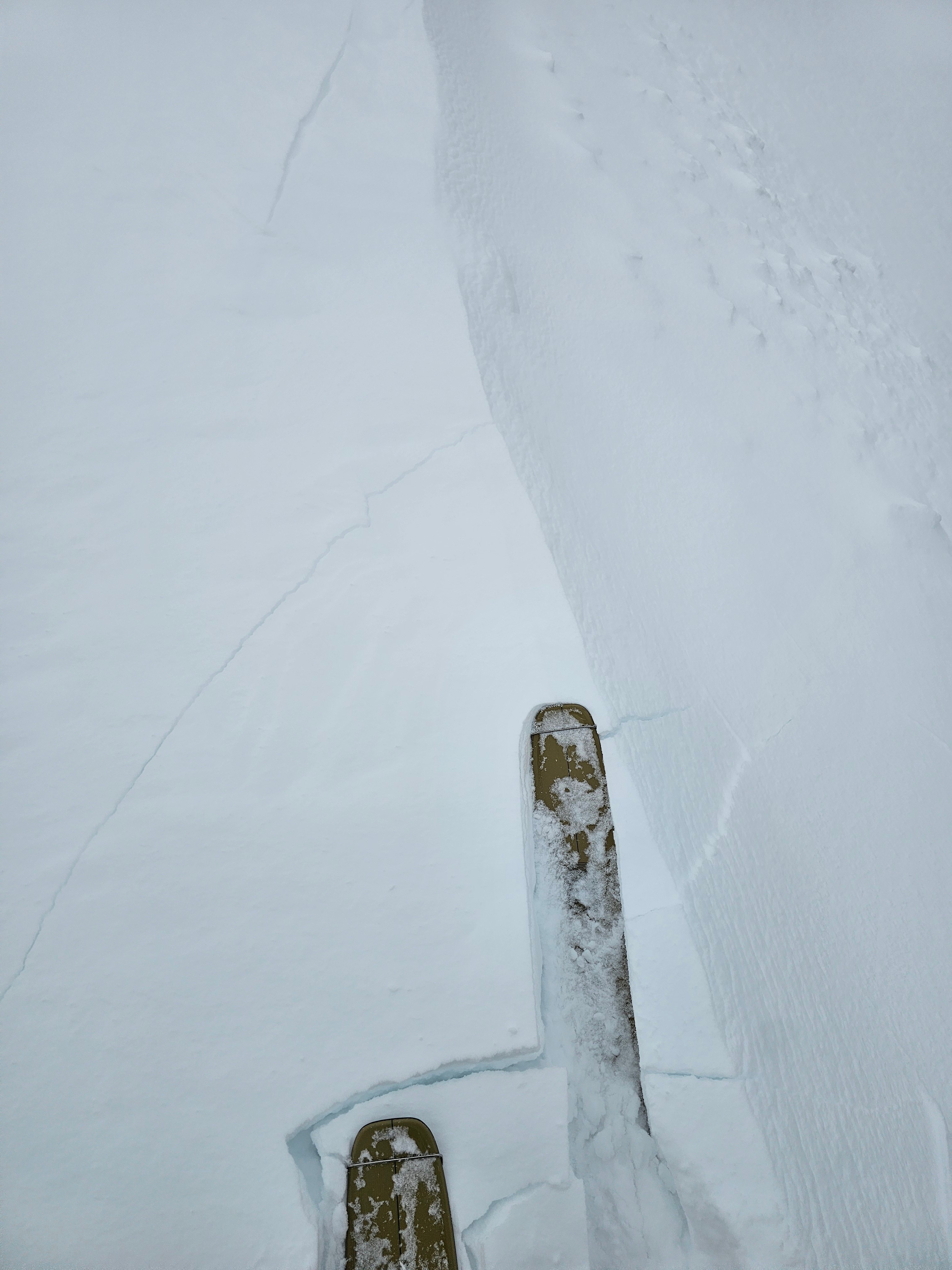
Quick report
The top foot of snow has settled from the last storm. In some places there is a slight heat/humidity crust, especially the farther down in elevation and west you go.
There is plenty of weak snow beneath, but the uniformity is spotty, some places are weaker than others, but where it is weak is still concerning. The key features I am concerned about are slopes from around 8,000-9,500' that are northerly and sheltered, but not to broken up by terrain features such as close trees.
These are characteristics shared by the recent avalanches in the areas. These slopes seem to have undisturbed facets/buried surface hoar and just enough slab to produce avalanches. We will see how stability progresses as the slab/weak layer adjust.
We noted some loose snow avalanches off of Mount Taylor, both dry loose and wet loose off of steep rocks. Other wise we did not have any significant cracking or collapses.Weather
- Cloud Cover
- broken
- Wind Loading
- light
A very pleasant day with in and out clouds and sunshine. Winds were moderate on exposed ridgelines and moving small amounts of snow. Temperatures were cool, but steep solar aspects took on heat. Soft snow can be found on sun sheltered slopes.
Snowpack
Weak snow sits about a foot below most slopes that face W-N-E.
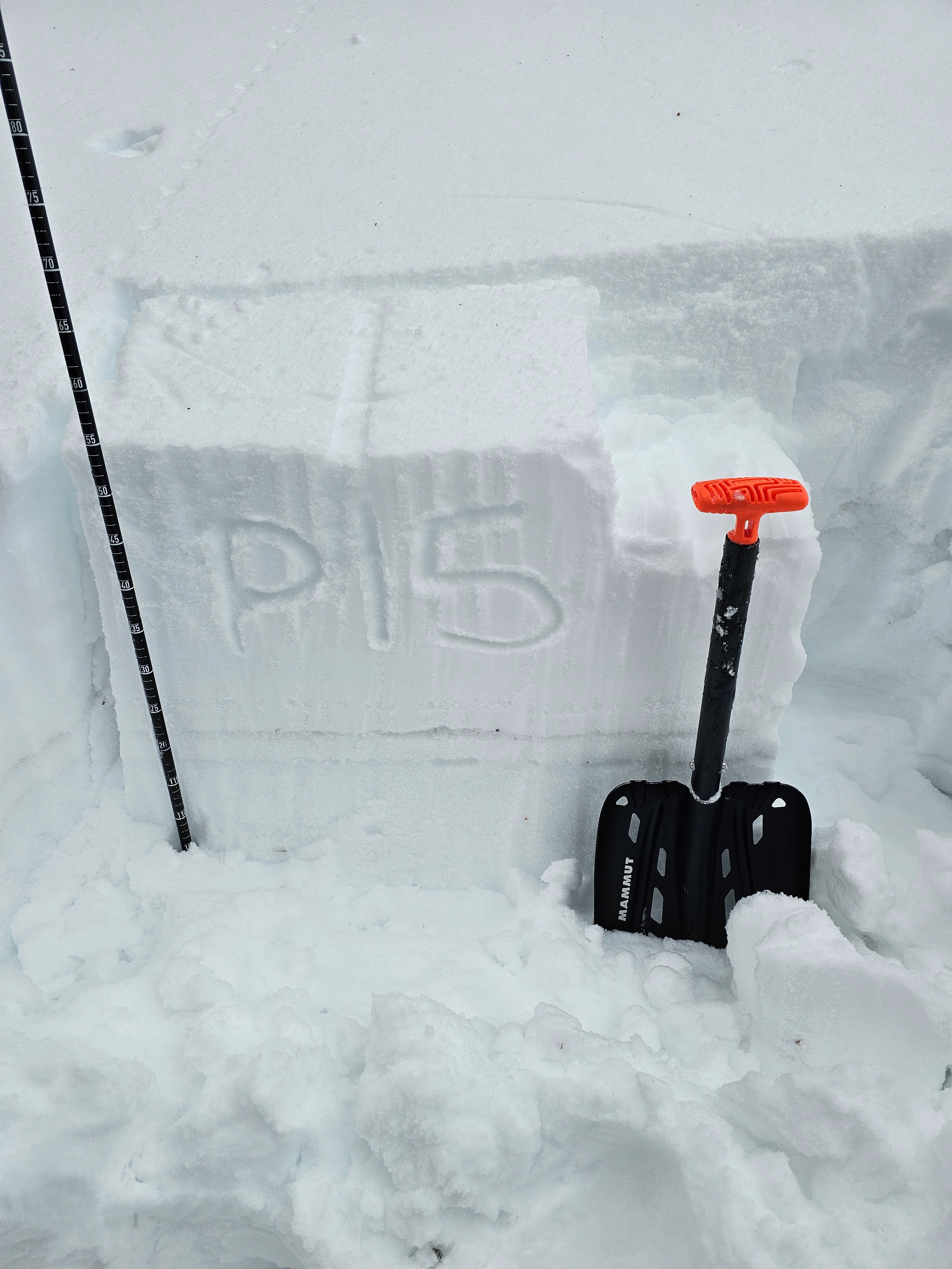
I dug on a NE slope at 8,200' and was able to get a propagating result on the January facets.
I dug again on a N facing slope at 8,500' and did not get a propating result.
In multiple hand sheer tests I found a mixed bag of the facets bonding well to the new snow and in others not.