
Quick report
- Cracking
- isolated
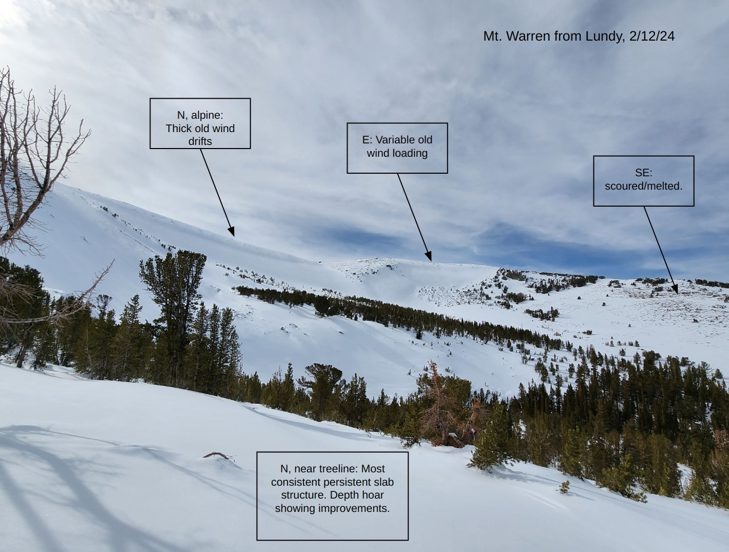
Some localized cracking in older wind drifts near treeline.
Weather
- Air Temp
- Above Freezing
- Cloud Cover
- broken
- Wind Loading
- none
- Snow Avail For Transport
- small smounts
Relatively static weather day wind continuous high, hazy stratus clouds and calm to light winds.
Snowpack
Below 9000 ft. the snowpack is shallow and anchored by brush. Any persistent slab avalanches here would be isolated to areas with smooth ground cover that held snow in December.
The snow depth increases quickly between 9000 and 10000 ft. The persistent slab structure is most consistent on near treeline slopes that tilt north and northeast. On those slopes the layer of concern is generally buried about a meter deep and is showing some signs of improvement. The snow depth on west and northwest aspects at these elevations is variable with wind-affects.
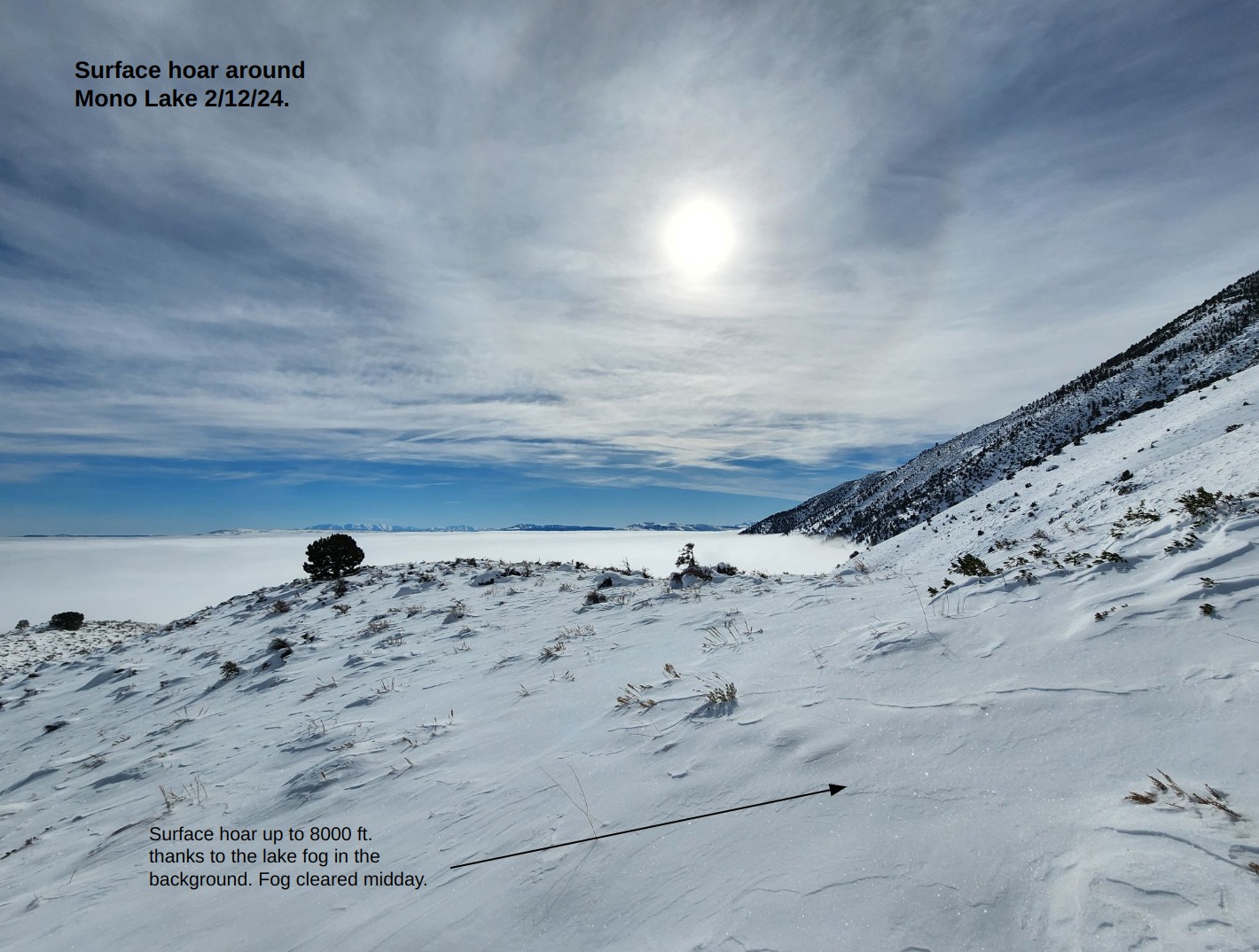
There was 4 mm surface hoar on shady aspects below 8000 ft. thanks to freezing lake fog around Mono Lake.
Surfaces up to 10200 ft.:
- Shady slopes: near-surface facets mixed with decomposing-fragmented old snowflakes.
- Sunny slopes: a melt-freeze crust that thawed for a few hours midday and quickly re-froze.
Avalanche
- Size
- D1 R1
- Type
- U
- Aspect
- E
- Trigger
- N
- Elevation
- 10000 ft
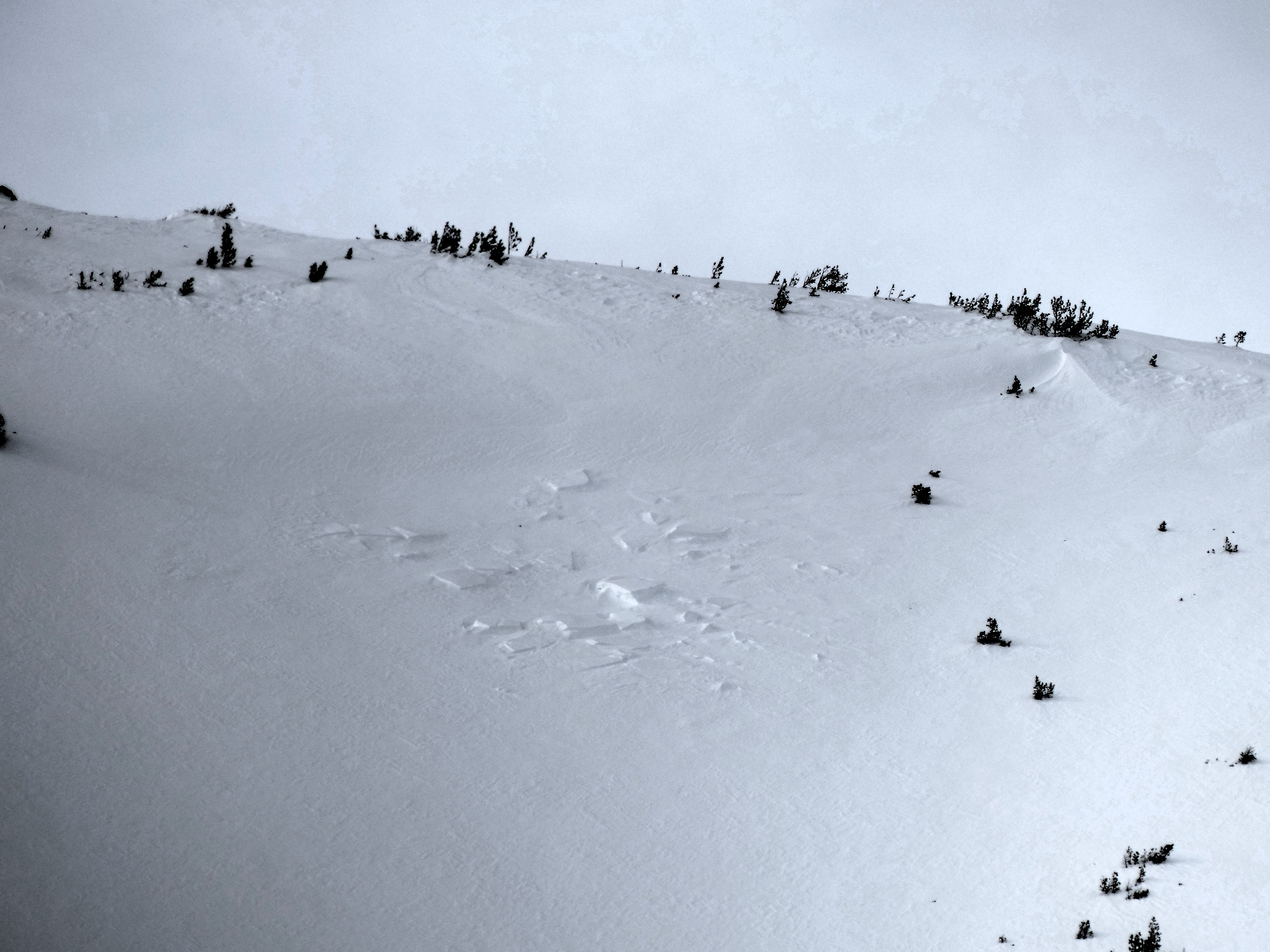
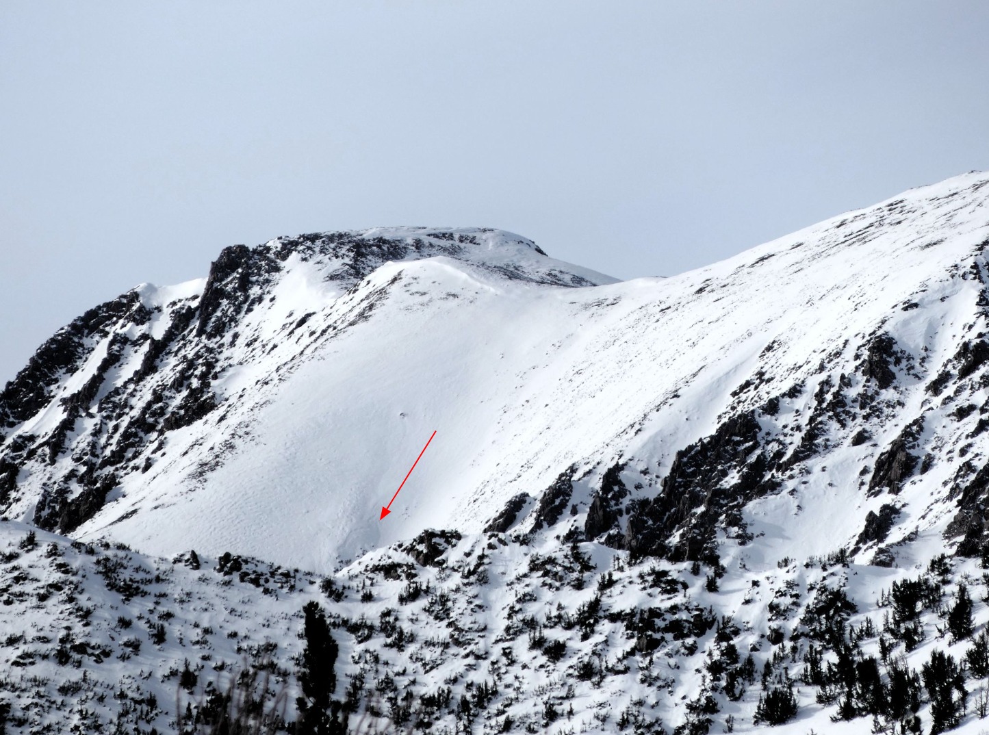
2 very small natural wind slab avalanches on east and southeast aspects that likely ran on 2/10 during loading from north winds. Mono Lake fog was dense in the cold of the morning, but burned off by midday.