
Quick report
I tried to track the best chances of instability by traveling on solar aspects late morning and midday and then crossing the drainage to travel on northerly slopes mid-afternoon. I exited on steep east-facing terrain in the early afternoon.
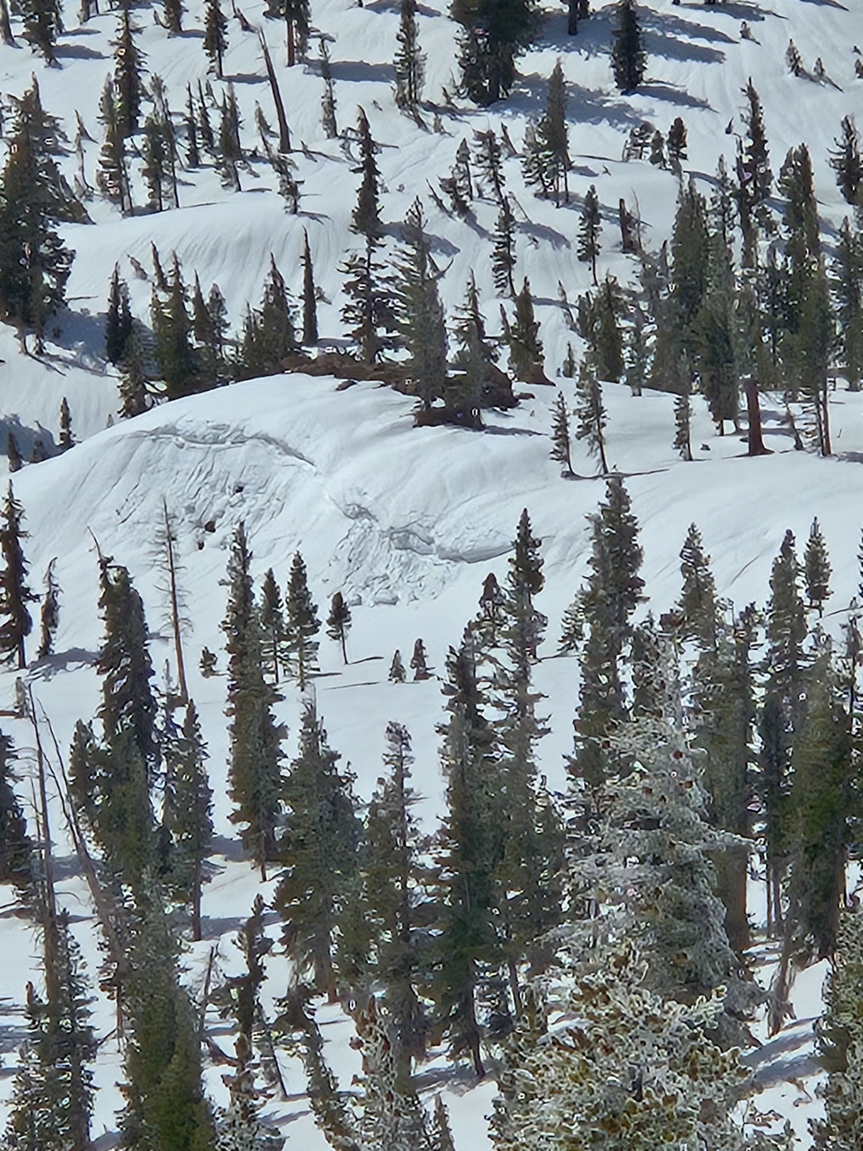
- I ski cut a lot of test slopes with only one giving me very thin wet loose results: east aspect, 9500 ft. midday.
- East aspects below 10,000 ft. became the most unsupportable today with north to northwest slopes not thawing at any elevation while I was out.
Weather
- Air Temp
- Near and Just Above Freezing
- Cloud Cover
- broken
- Wind Loading
- none
- Recent Snowfall
- T
- Snow Avail For Transport
- none
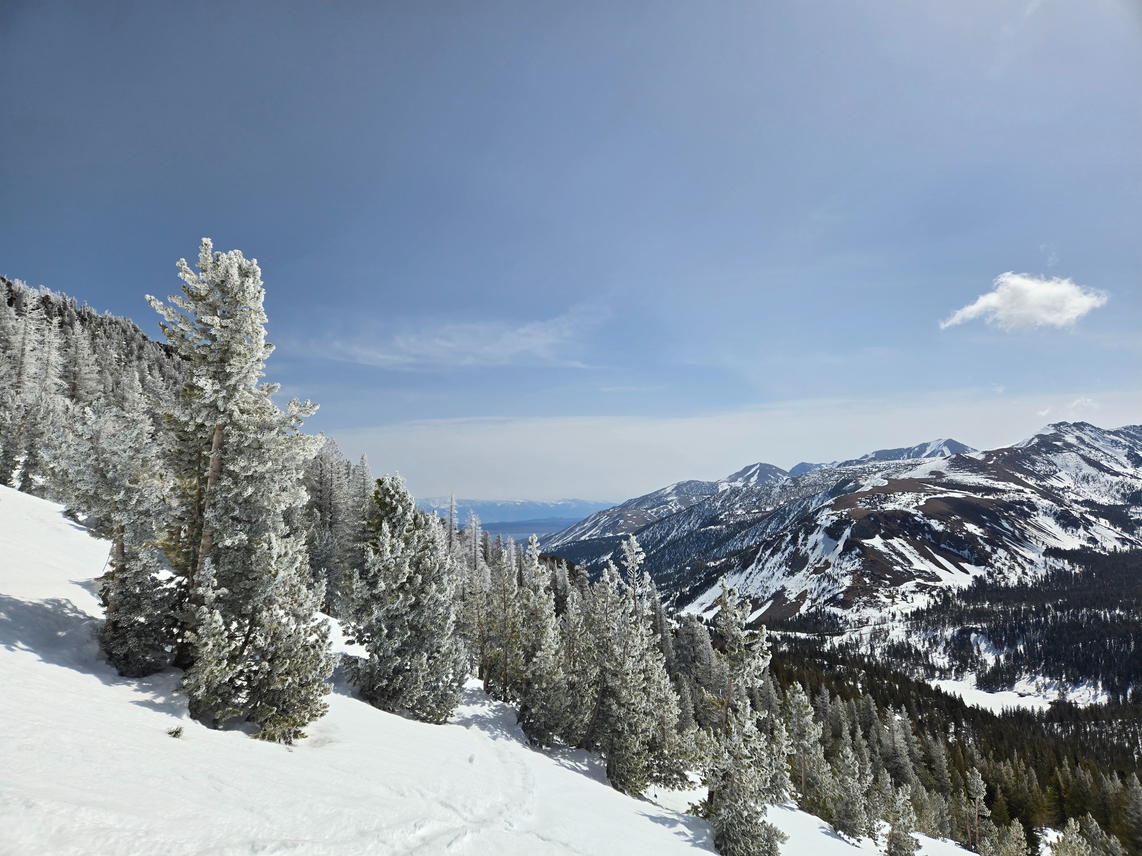
Despite some clearing midday, skies were partly sunny with moderate southwest wind. By the time I left, cloud cover was building over the Sierra Crest to the north and west.
Snowpack
- I saw older rollerballs and small wet loose avalanches from early in the week, but no new activity.
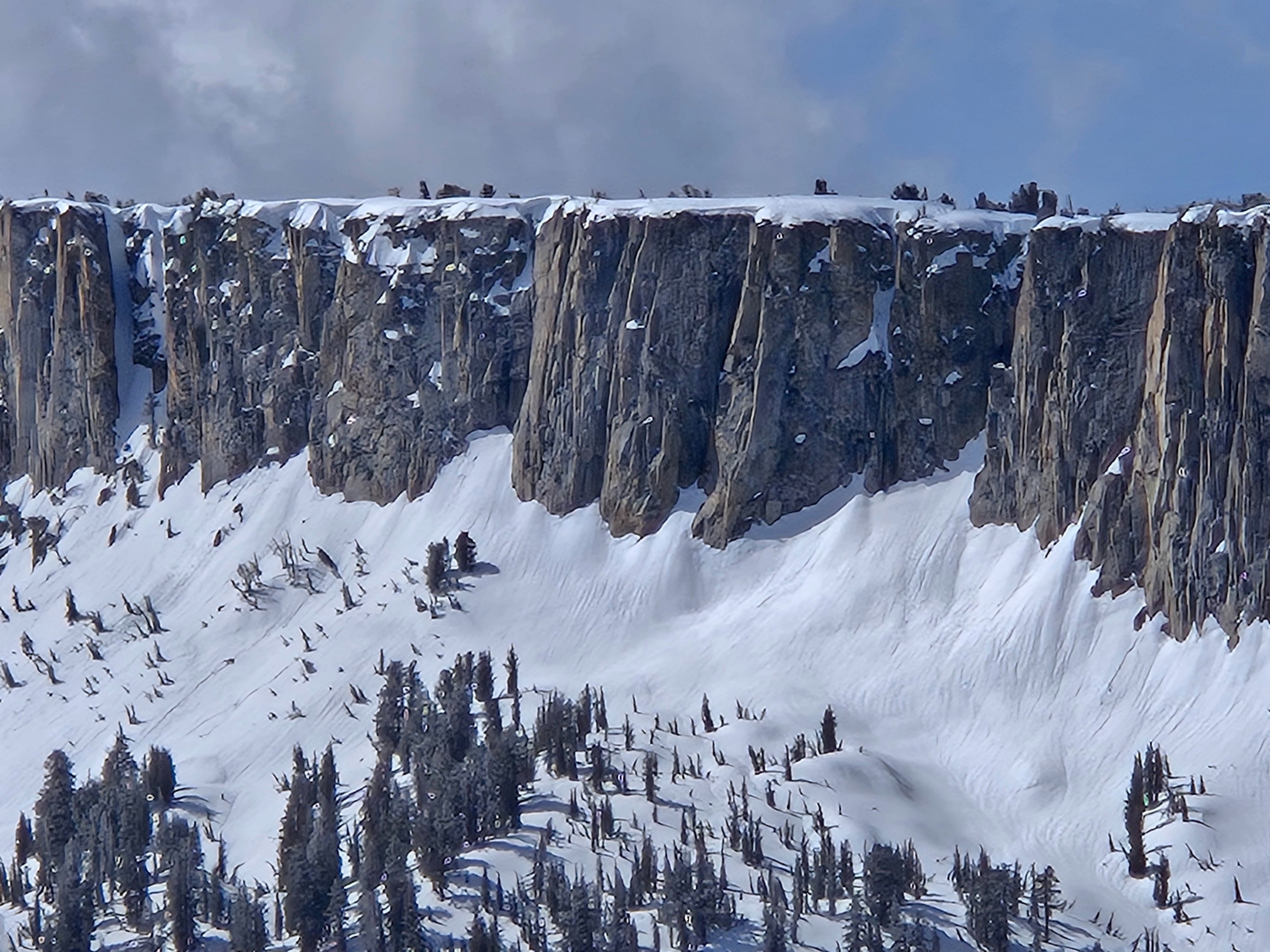
- I even saw some cornices that had failed naturally during the warmest part of the past week near treeline.
- The only new snow I found was trace amounts of graupel dusted across melt-freeze crusts near Mammoth Pass above about 9500 ft.
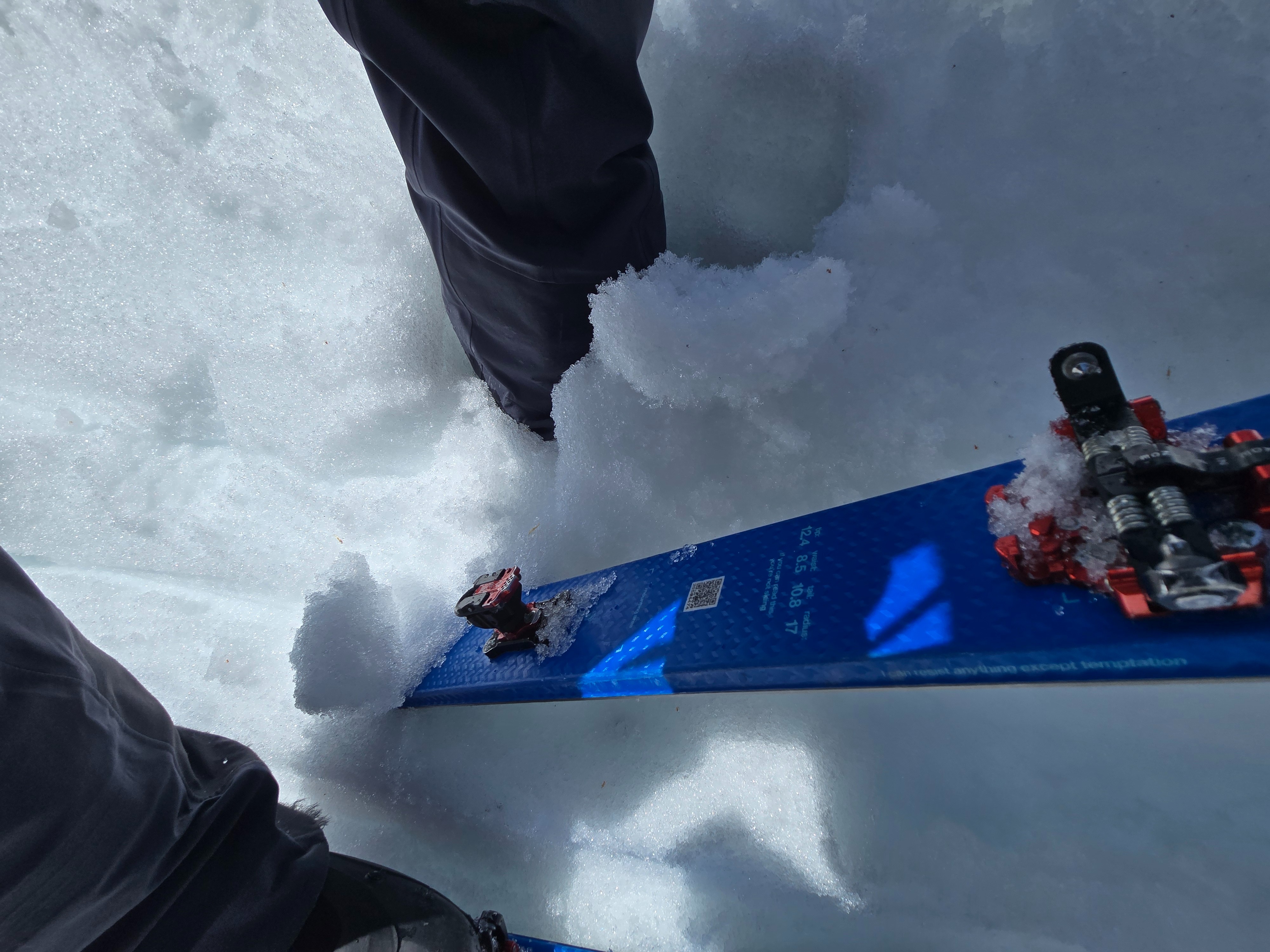
- East aspects near and below treeline became the most unsupportable today with boot penetration up to 35 cm (deeper than boot-top) and ski penetration up to 20 cm (mushy). Still, only one test slope slid for me.
- Slopes facing north or northwest did not thaw at any elevation where I traveled.
- At the one place I poked at the snowpack on a north aspect near treeline, I found a 1 cm supportable melt-freeze crust with dry snow underneath.
- I saw runnels, which indicate that water has established drainage through the snowpack, on all aspects below treeline and on east aspects up to the Mammoth Crest.