
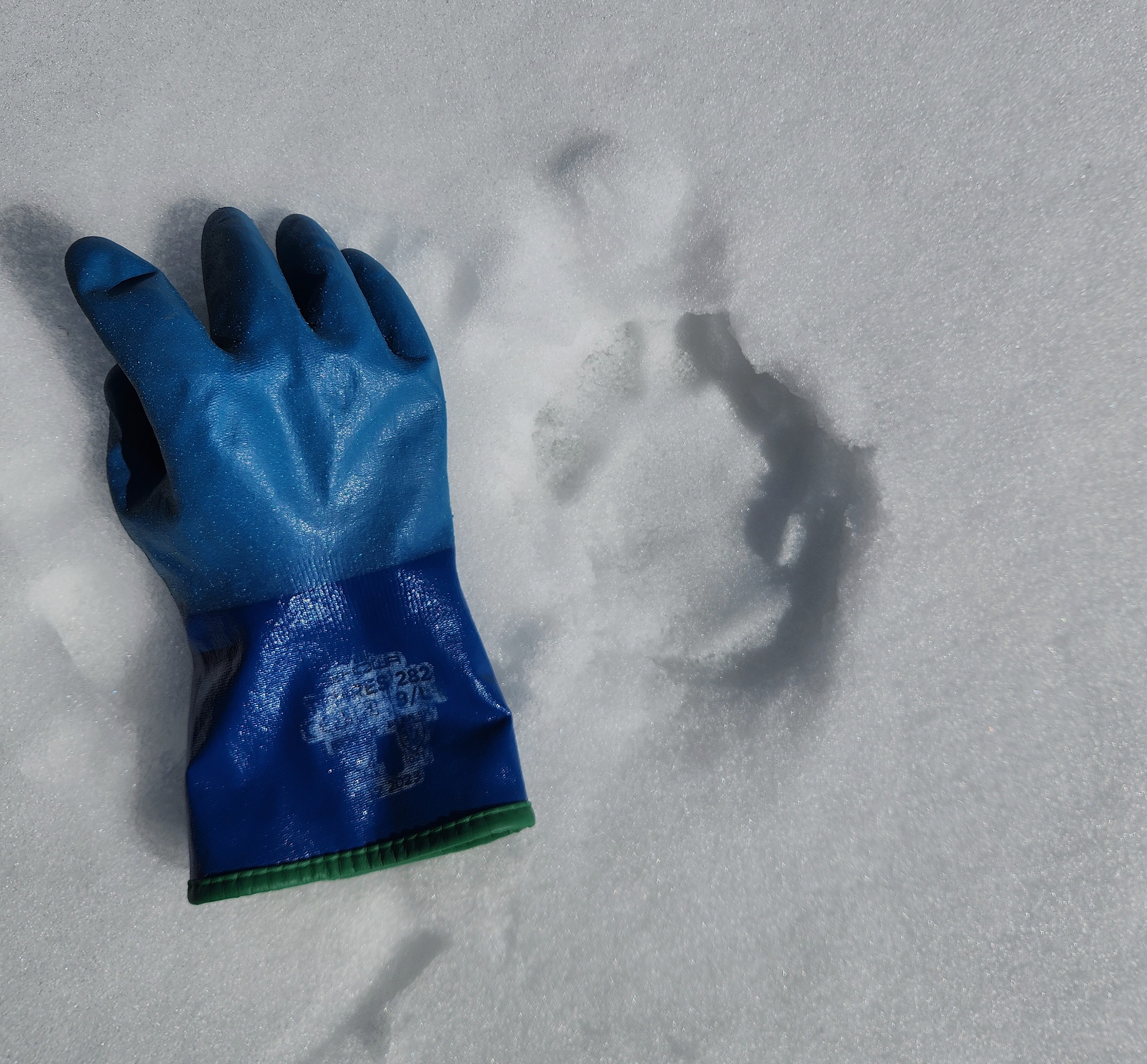
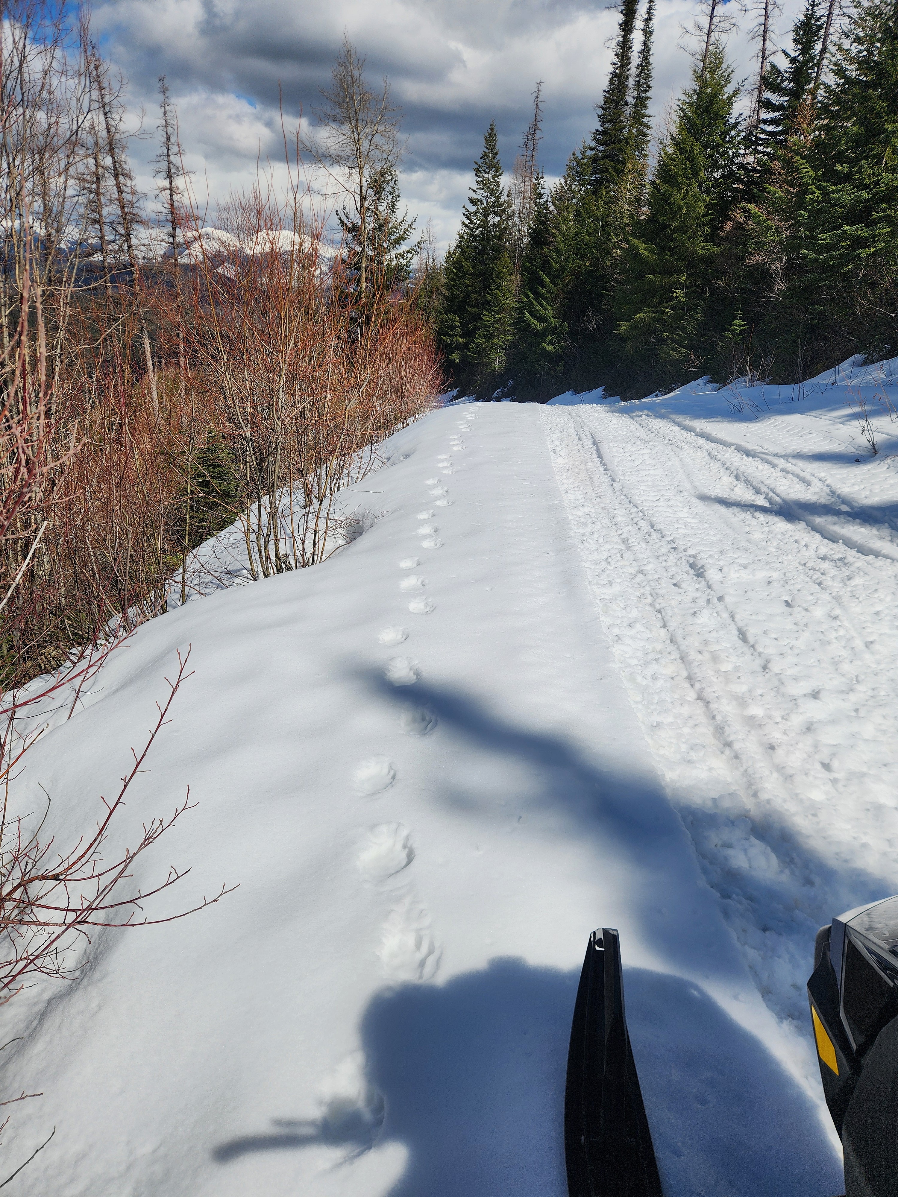
Quick report
- Cracking
- isolated
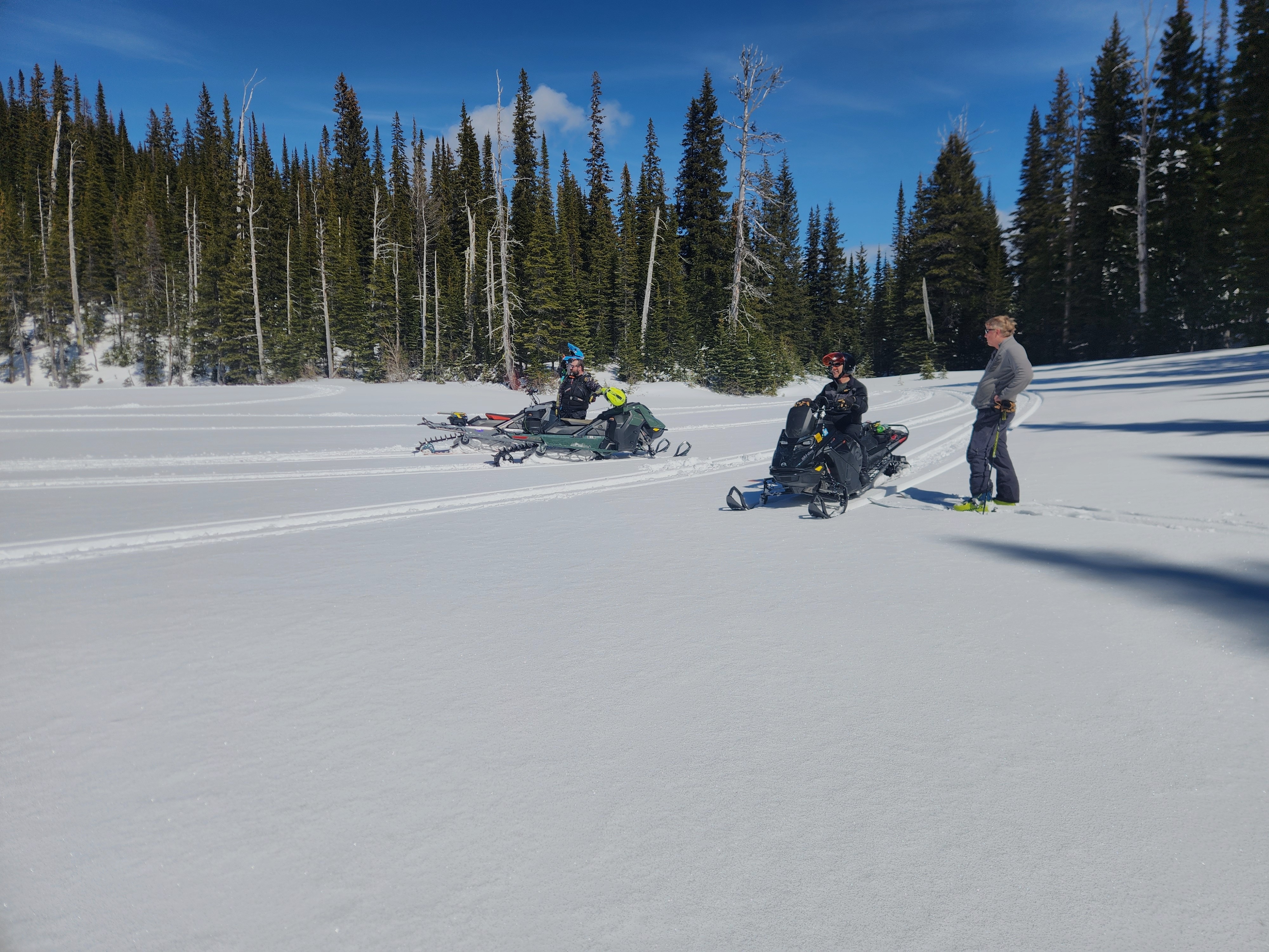
Today we headed toward the Alpha and Beta Lakes/Doris Ridge area in the northern Swan.
- The road has consistent snow cover above about 4,300 feet.
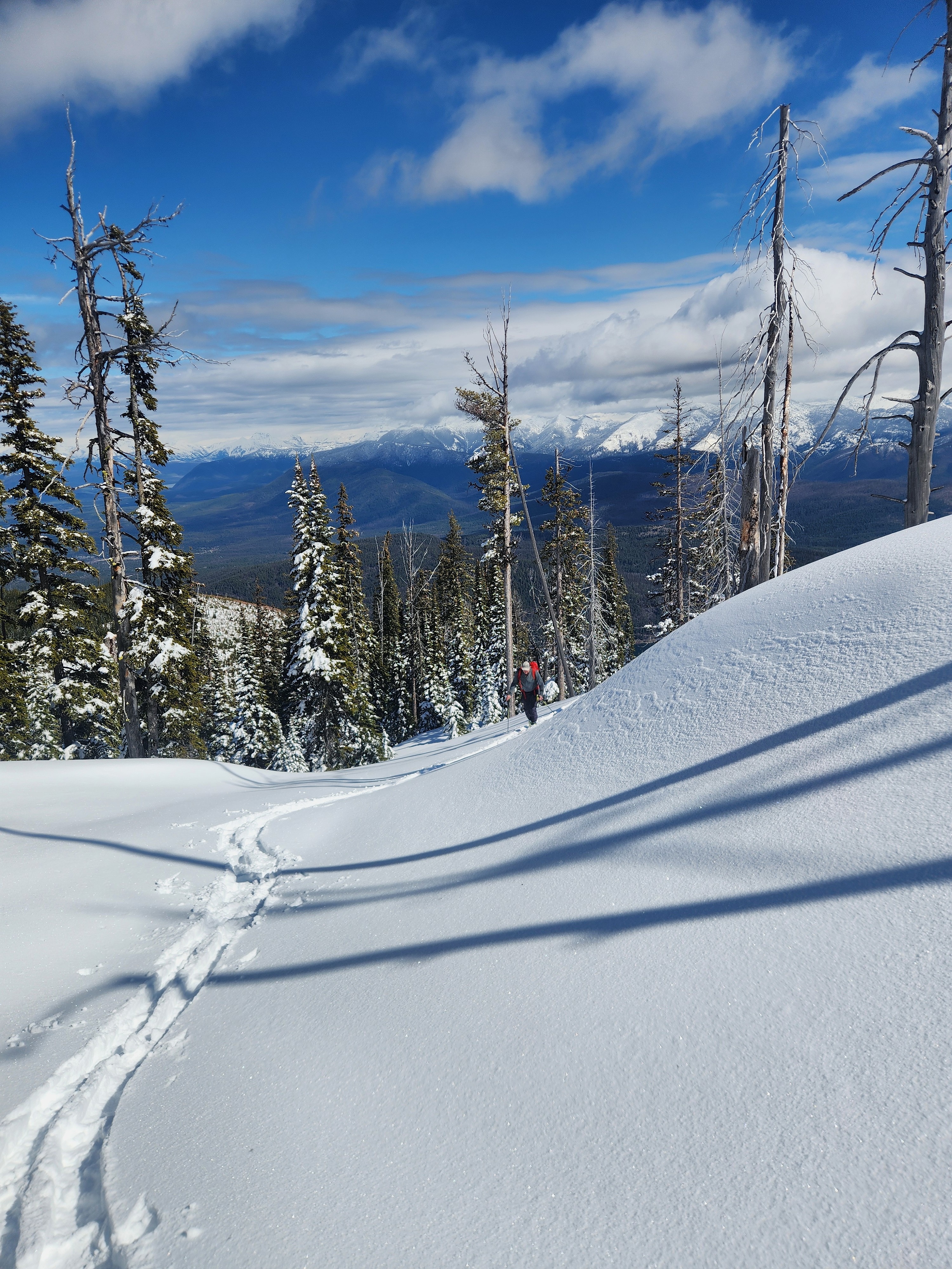
- At our high point of 6,650', we found about 9" of settled, right-side-up storm snow over a supportable crust. Snow quality on shaded slopes was quite enjoyable.
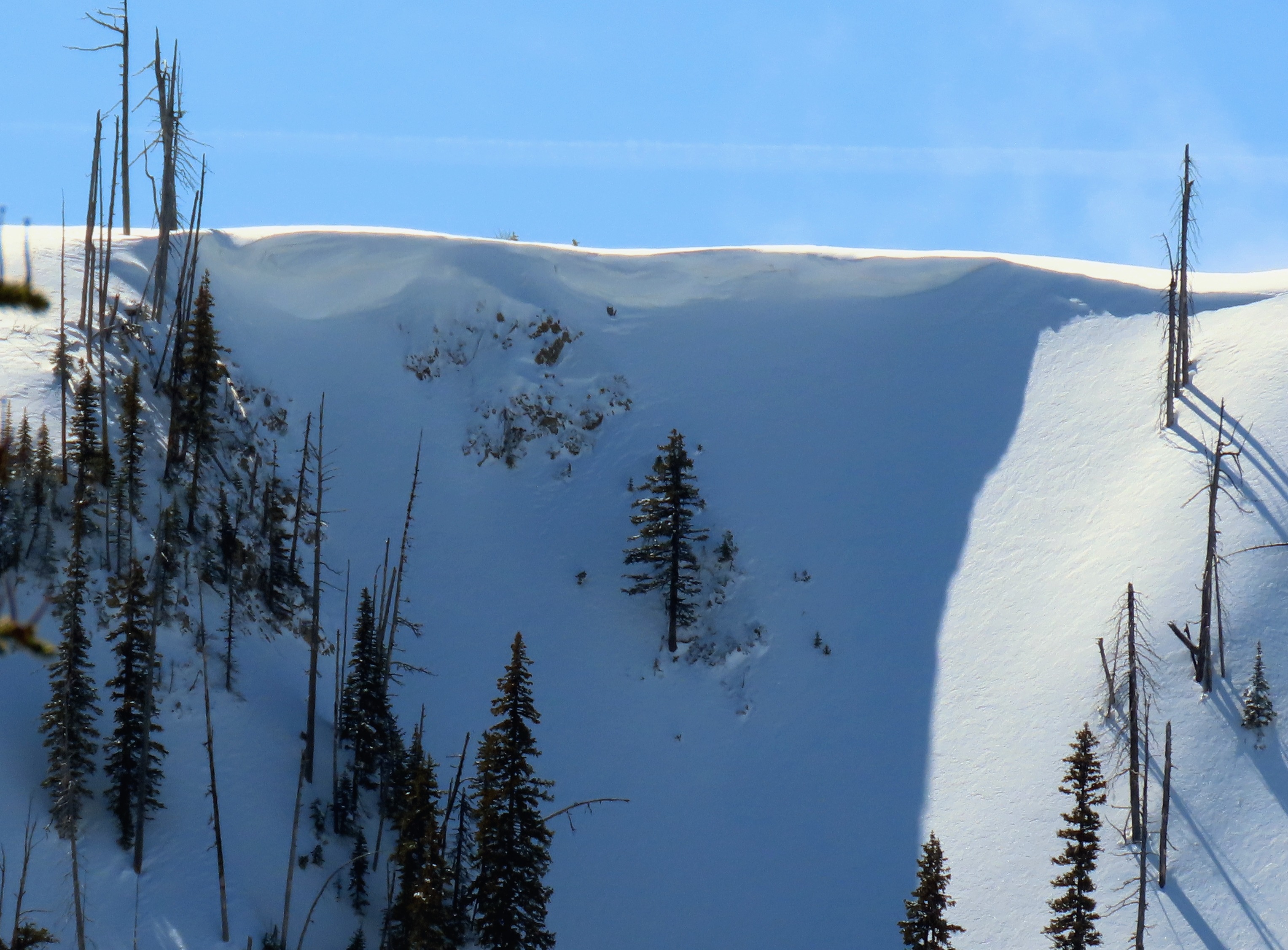
- On a very steep north-facing slope, the new snow sluffed easily off the crust below. We observed a bit of isolated cracking in wind-loaded features.
- Warming and wetting of the snow surface was strongly aspect-dependent. As we ascended a ridge, stepping onto the sunny side yielded moist to wet surface snow that easily glopped onto skis, while the shaded side remained cold and dry. Trees were actively dripping in the sun.
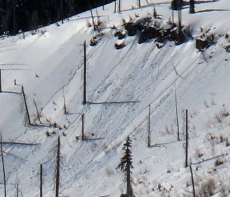
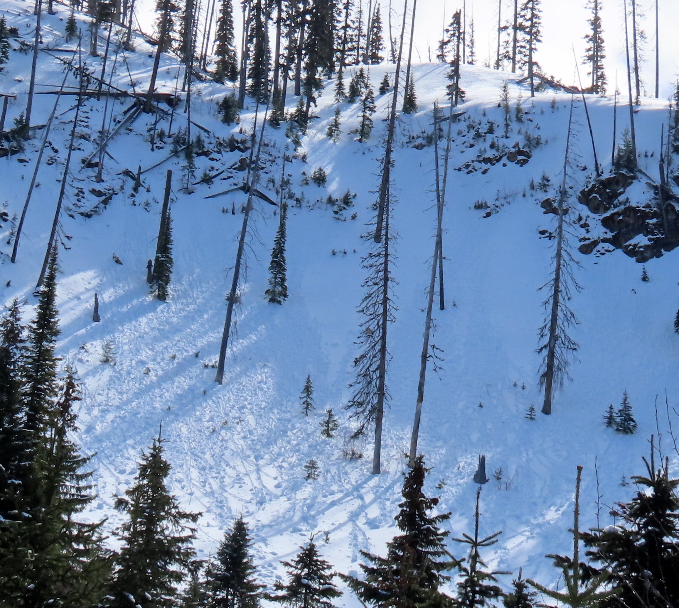
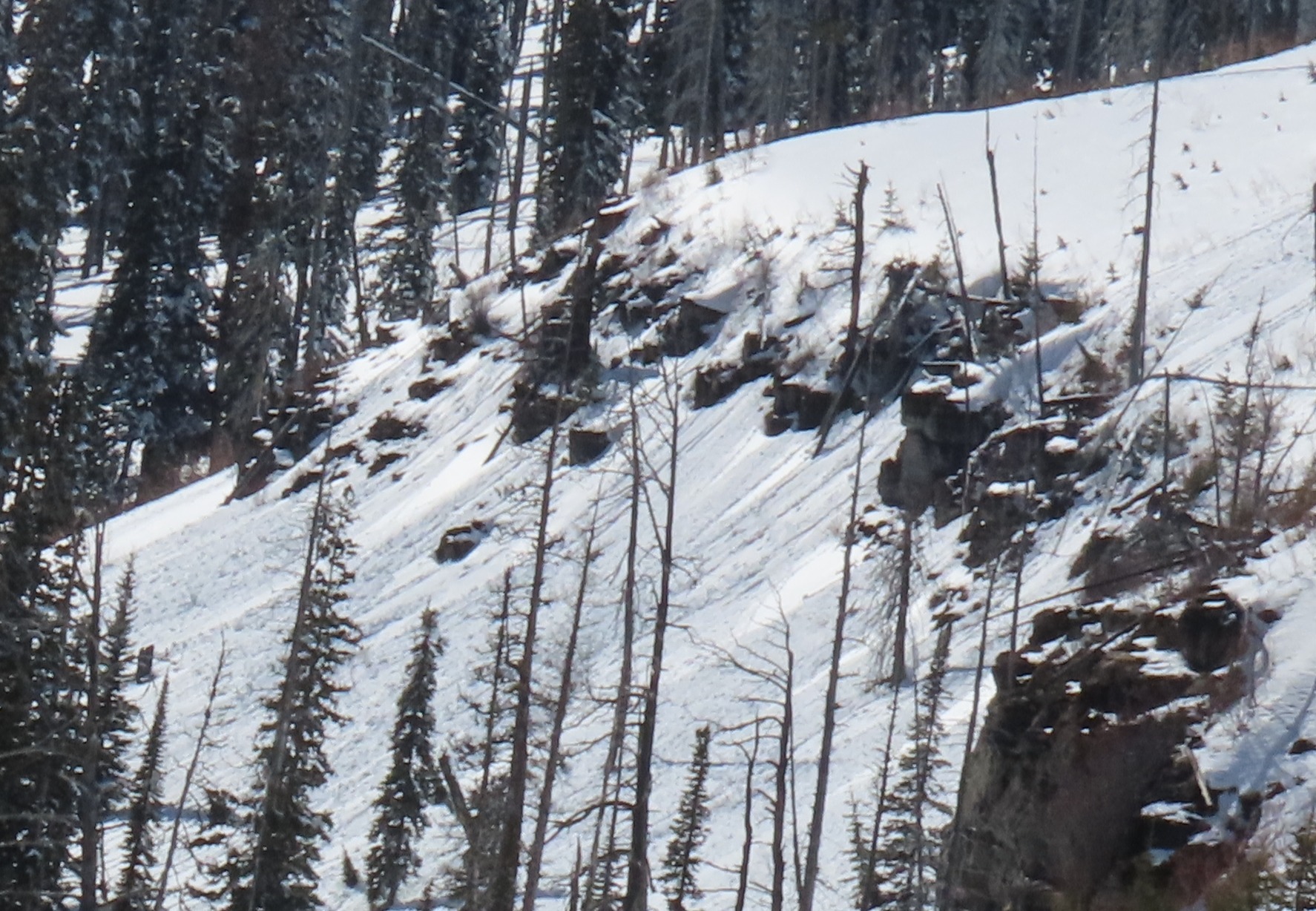
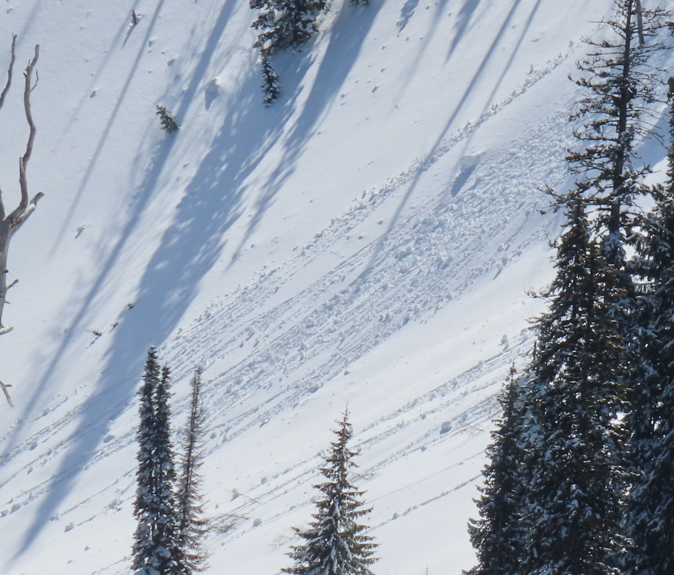
- Our travels didn’t provide visibility into any south-facing start zones. However, the one piece of steep southerly terrain we observed produced small wet loose avalanches during the day. Combined with how hot and still it was on our exit, we suspect steep south-facing slopes in the area were producing wet loose avalanches.
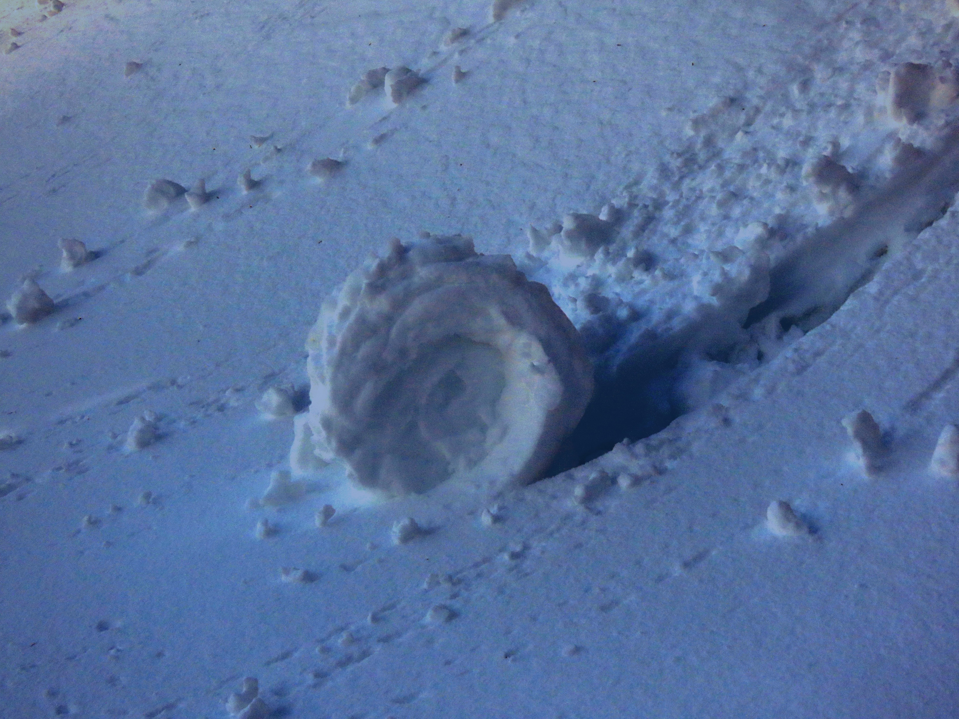
- The snow surface on moderately steep north-facing slopes above 6,000' remained cold and dry. We observed rollerballs on shaded slopes below 6,000 feet.
Had very little occasion to observe solar terrain. The one southeast aspect we saw had released a few wet loose avalanches during the day while we were touring. Isolated cracking on wind-exposed ridgeline; nothing more than a foot out from skis.
Weather
- Air Temp
- Warm
- Cloud Cover
- few
- Wind Loading
- previous
- Rain Elevation
- 5500'
- Recent Snowfall
- 20
- Snow Avail For Transport
- moderate amounts
Started off crisp and quickly warmed. Calm winds with only very occasional light gusts. Pporadic clouds passed overhead in the mid-afternoon, but it was mainly bluebird.
Snowpack
We dug a pit on a northwest, sheltered slope at 6650'.
HS 183, HST 23 cm
Crusts separated the most recent storm snow from the small storm Sunday into Monday. Below that was a multitude of crusts and refrozen snow.
Avalanche
- Size
- D1
- Type
- WL
- Aspect
- SE
- Trigger
- N
- Elevation
- 6100 ft
Wet loose and roller balls, likely occurred mid-day. Was not their on our ascent in the morning. This was the only real south-facing slope we laid eyes on.