
Near Cordova
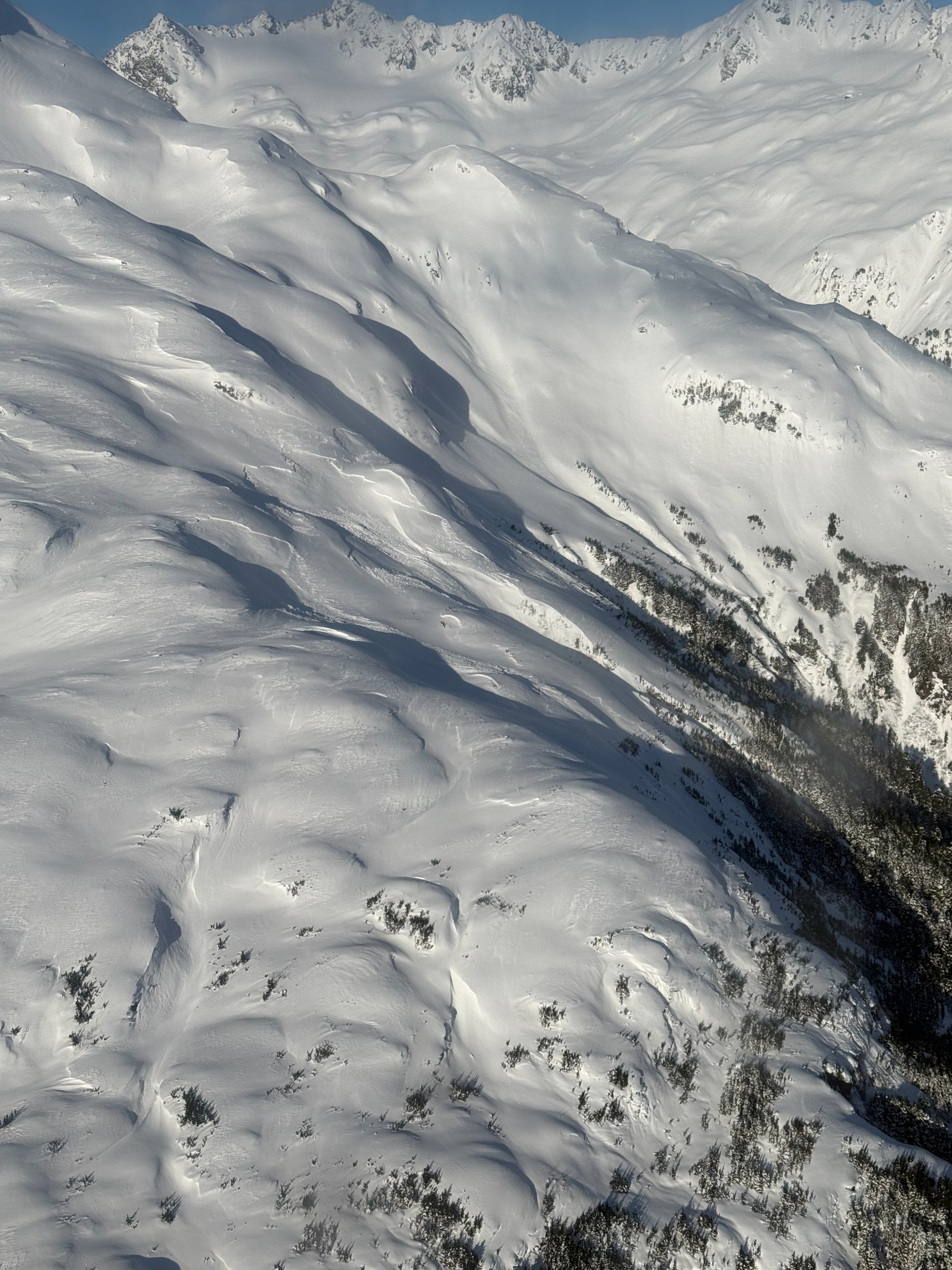
Quick report
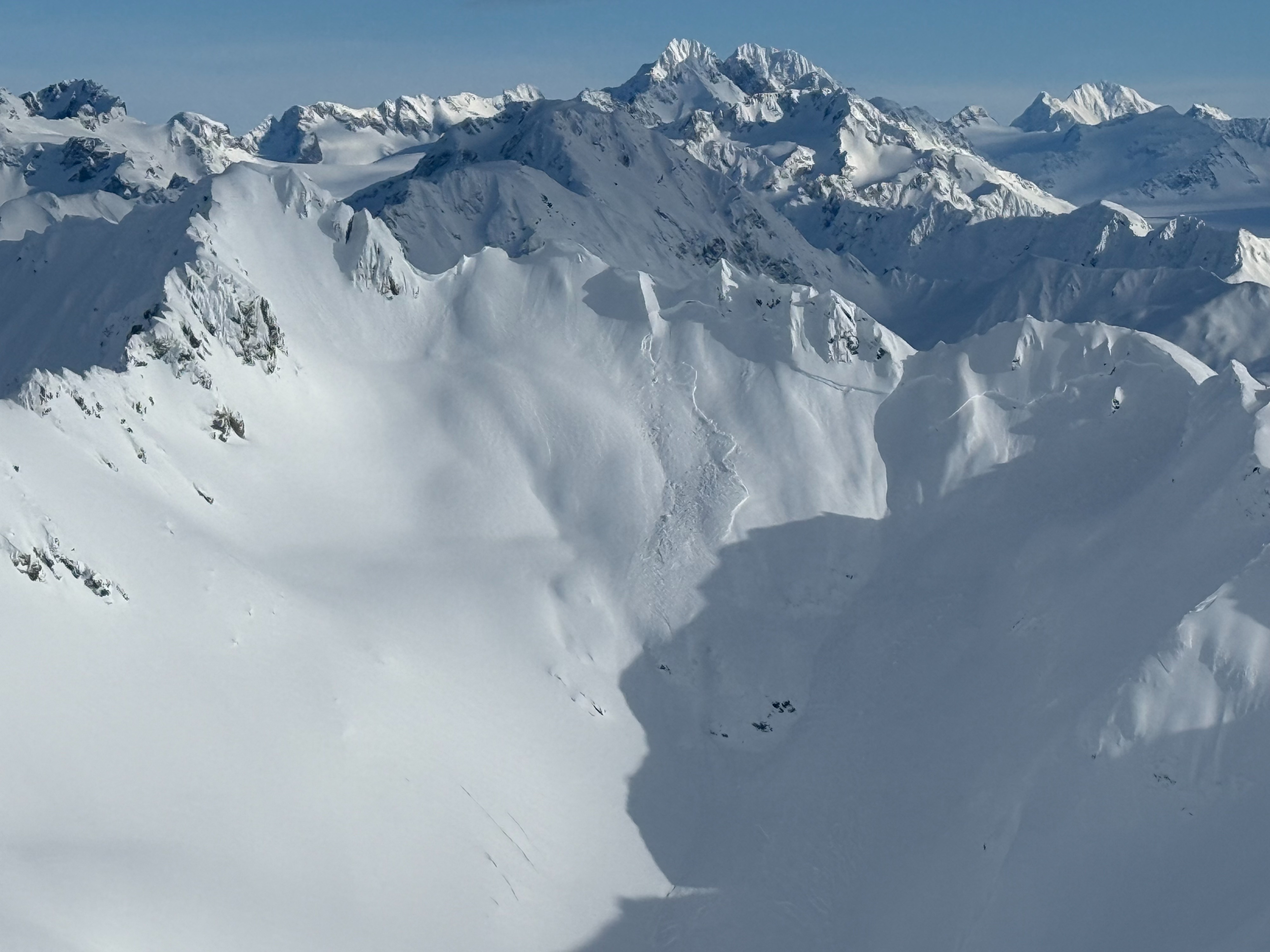
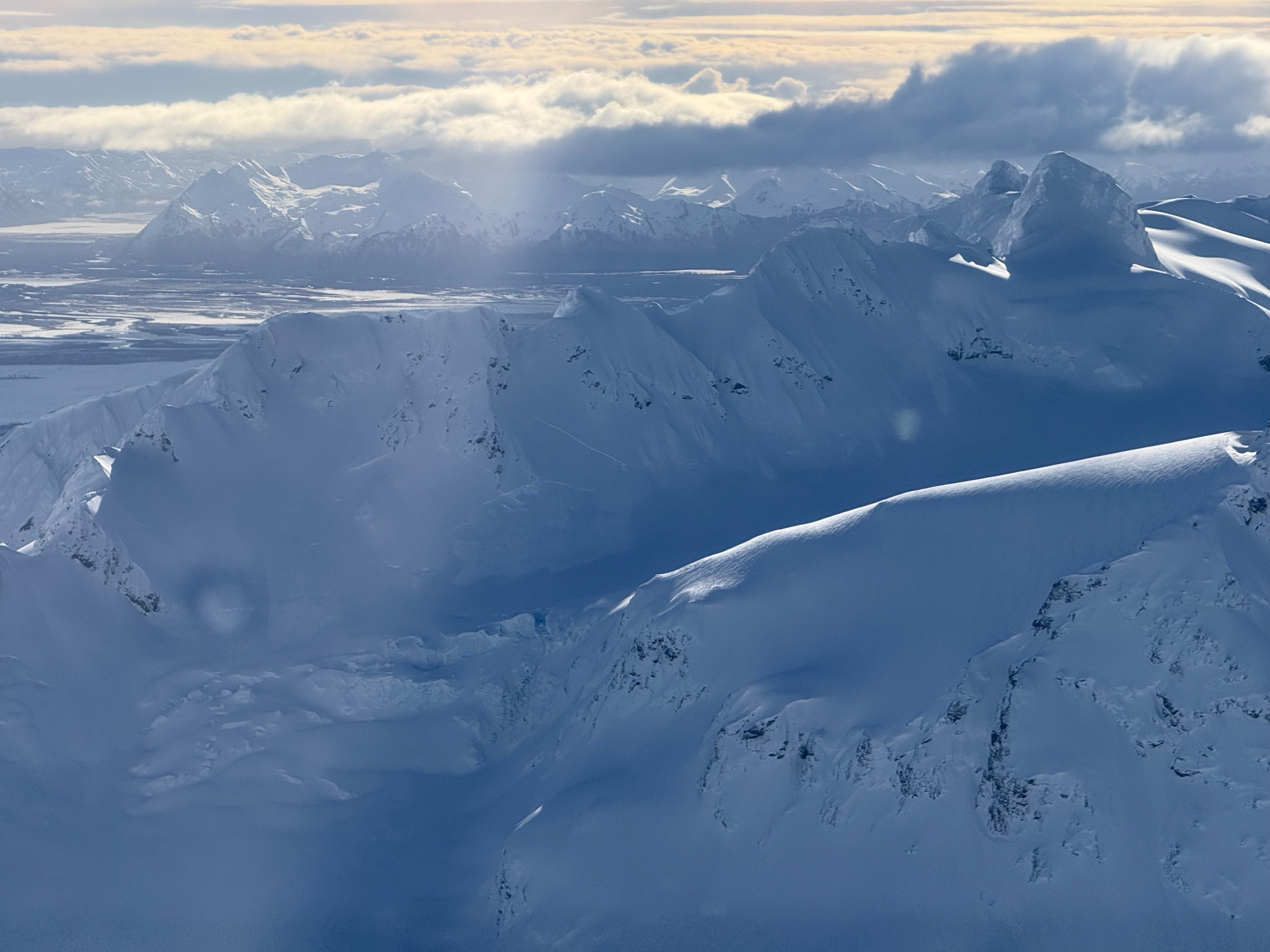
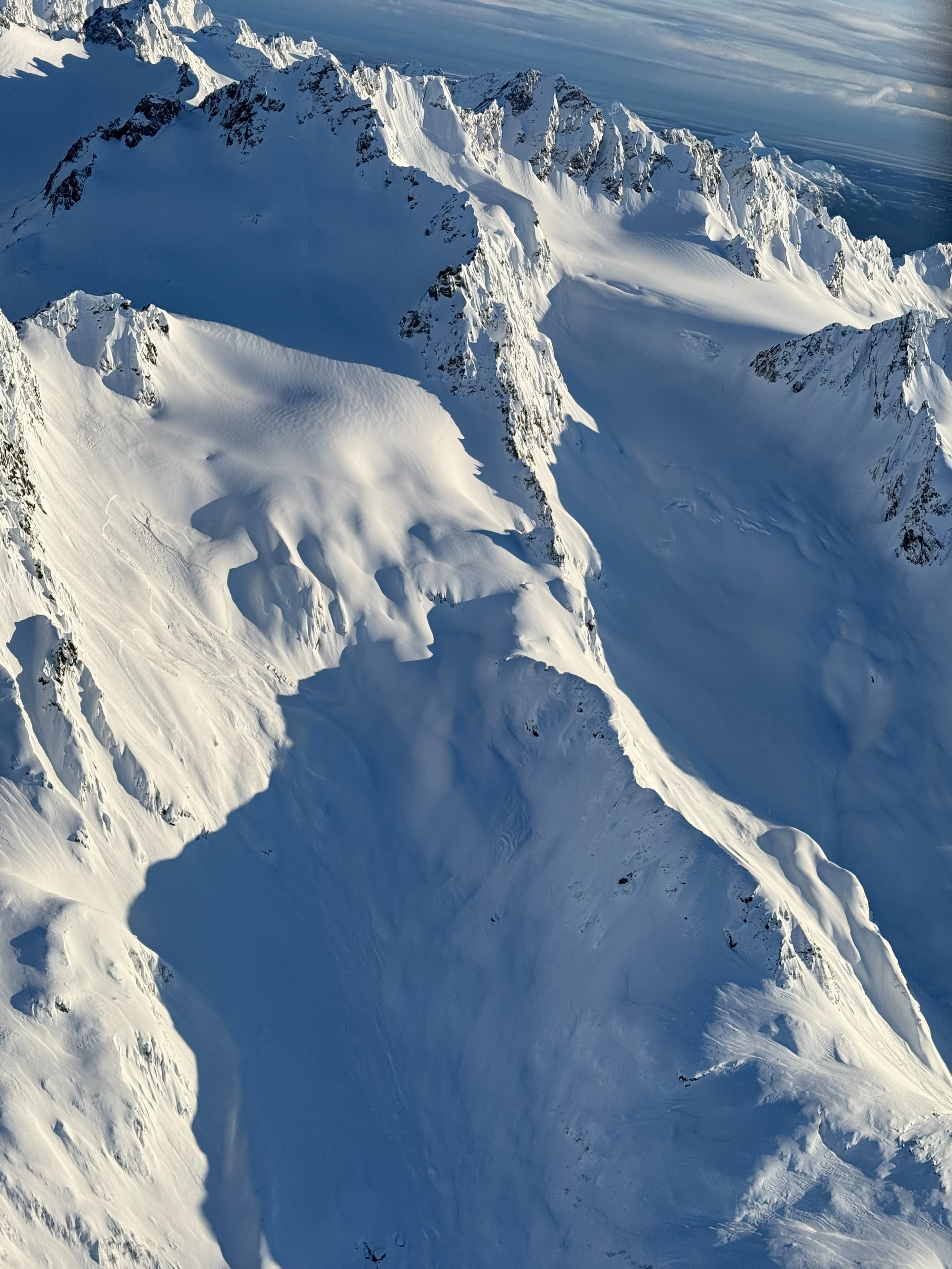
A varied snowpack was observed across a wide area flown and skied. Some areas held unconsolidated near 100cm of new snow from the past 2 weeks while others had been hit by the wind and showed obvious slab structure and propagating snow pit results. Avalanches observed were largely S and W, lee to the recent predominate winds. Within HSt (60-90cm where observed) a layered snowpack was observed to still require time to settle and bond.
Snowpack
Storm interfaces/density changes in the upper storm snow still requiring time to heal. Around 90cm down a presumed rain crust from 3/1 storm beginning above freezing up to 3000-3500 ft. Around this rain crust there are some rounded facets that have produced mixed results including sudden collapse on deep tap test.
Avalanche
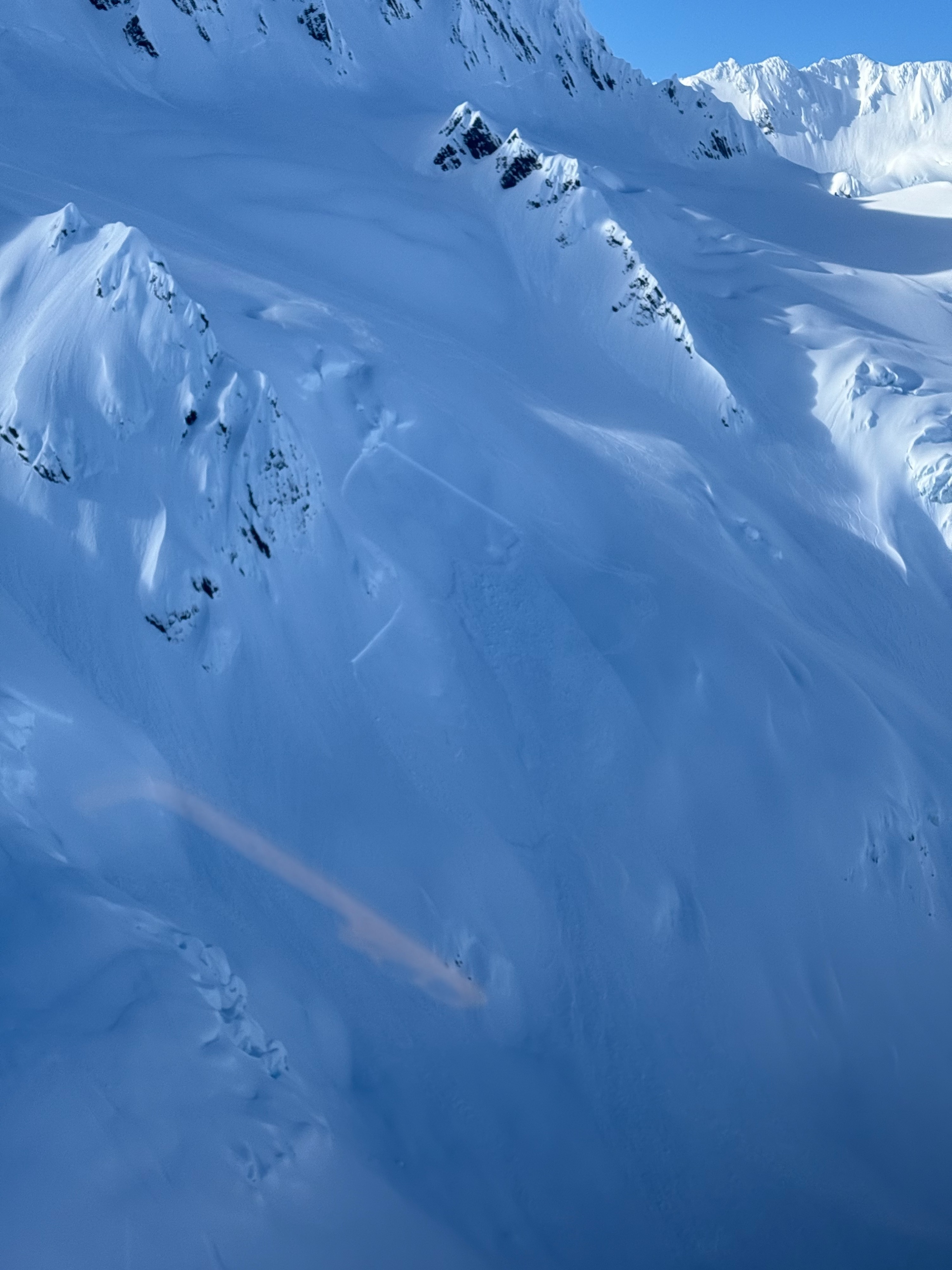
Many SS-N-R2-D2 wind slabs observed. Largely tracked back to S-W aspects and mid to upper elevations (3000 ft and above). We did have one avalanche that released later in the day that ran over tracks from earlier in the day. We presume that this storm slab on an easterly aspect was heated by the sun (snow was moistened when skied adjacent terrain and group avoided going further into that snow) and perhaps trigger by ice moving on the glacier (see photo below).