
Quick report
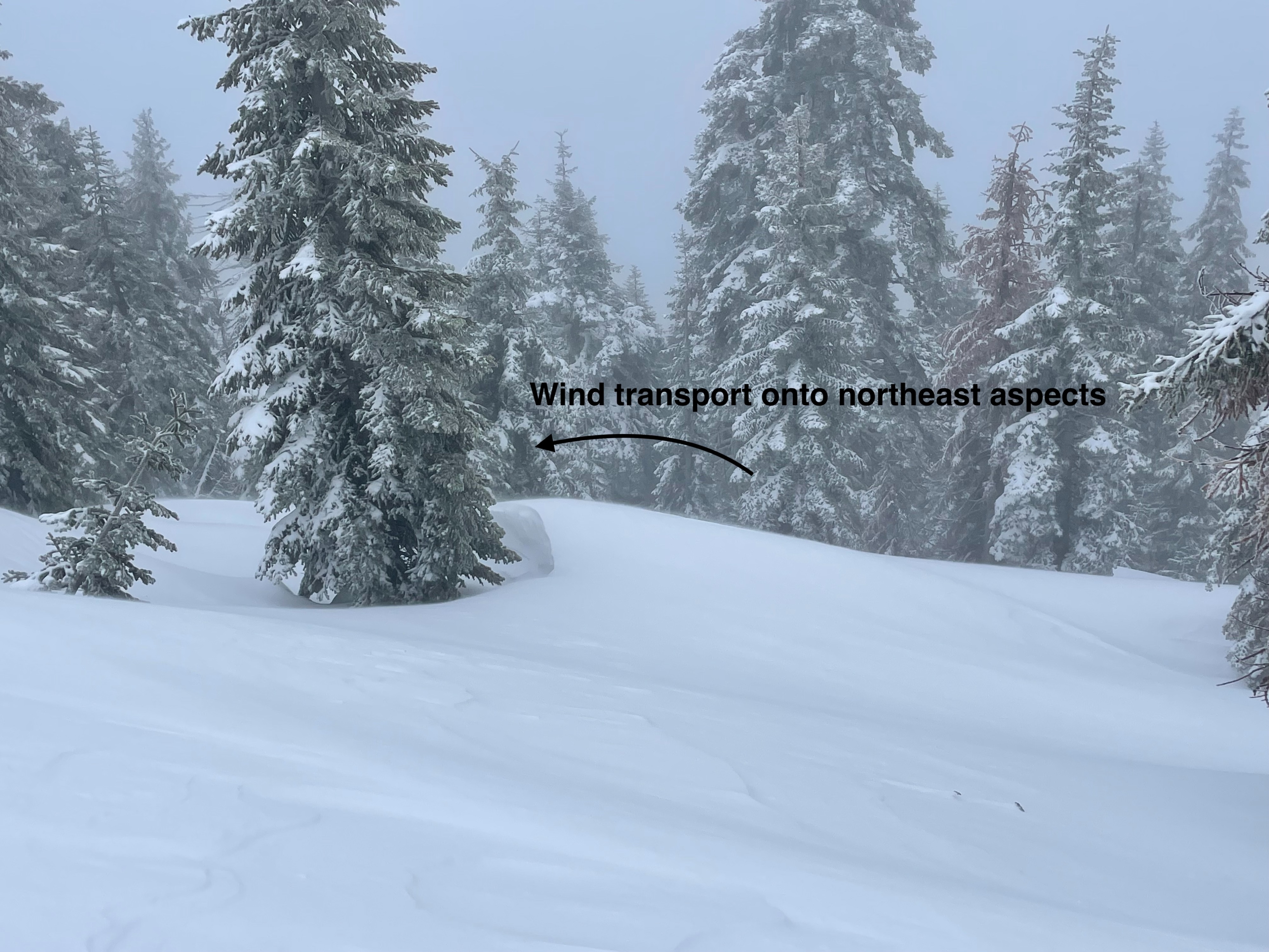
Observed instability was associated with wind loading and rapid new snow accumulation. Wind loading was obvious, accumulating at moderate to intense rates. Micro wind slabs were triggered on steep test slopes, primarily on SE-E facing terrain features, and northerly aspects. Light cracking occurred within the new snow, most likely on density changes as temperatures cooled.
Weather
- Air Temp
- 25
- Cloud Cover
- obscured
- Wind Loading
- moderate
- Rain Elevation
- 5000
- Recent Snowfall
- 0-23
- Snow Avail For Transport
- moderate amounts
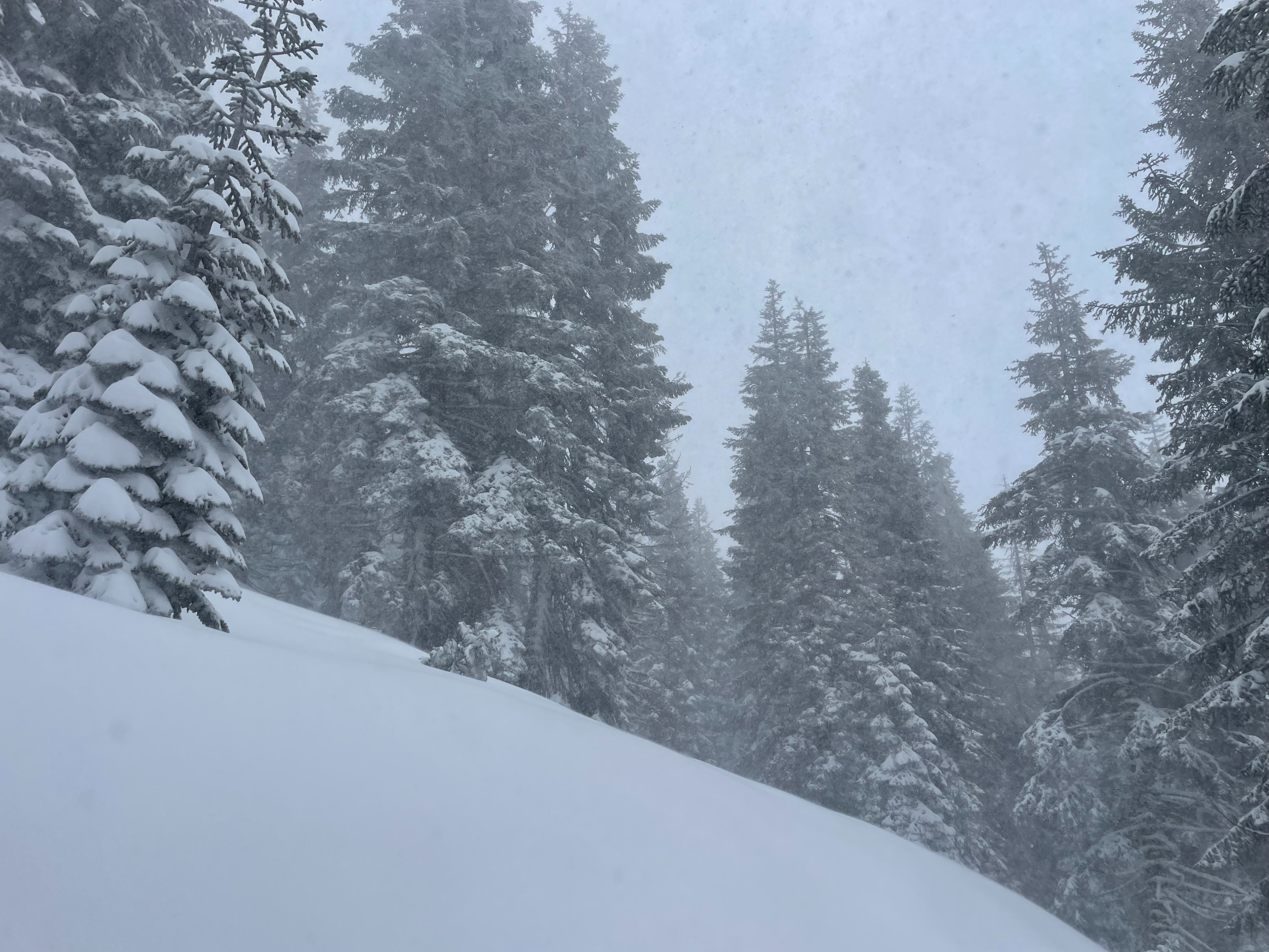
Today was a wet, and foggy storm day. Precipitation fell the entire time, with the snow-rain line at 5,000 feet. Above 7,000 snowfall, snow fell 1-2 cm per hour (S1/S2). Wind speeds were consistently moderate (17-25 MPH) near and above treeline, with strong gusts. Visibility was 500 feet or less.
Snowpack
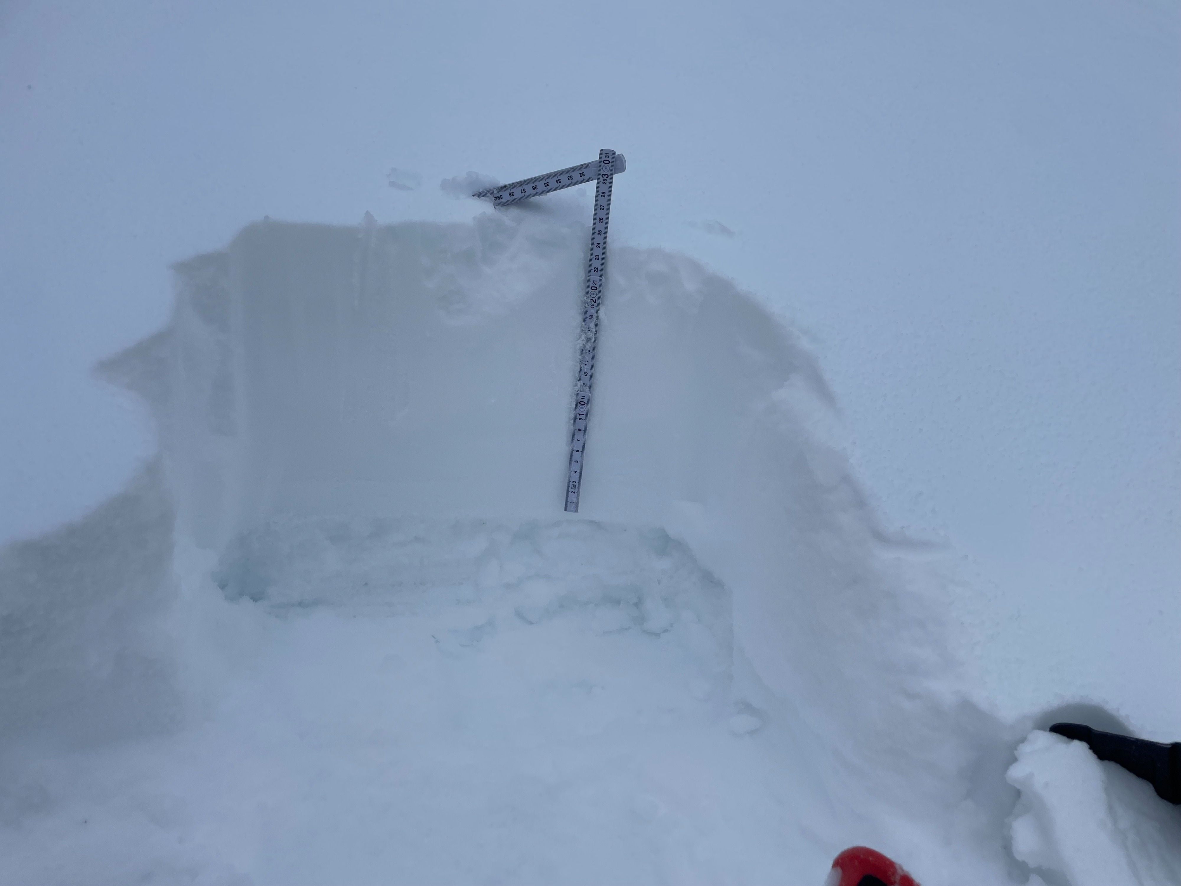
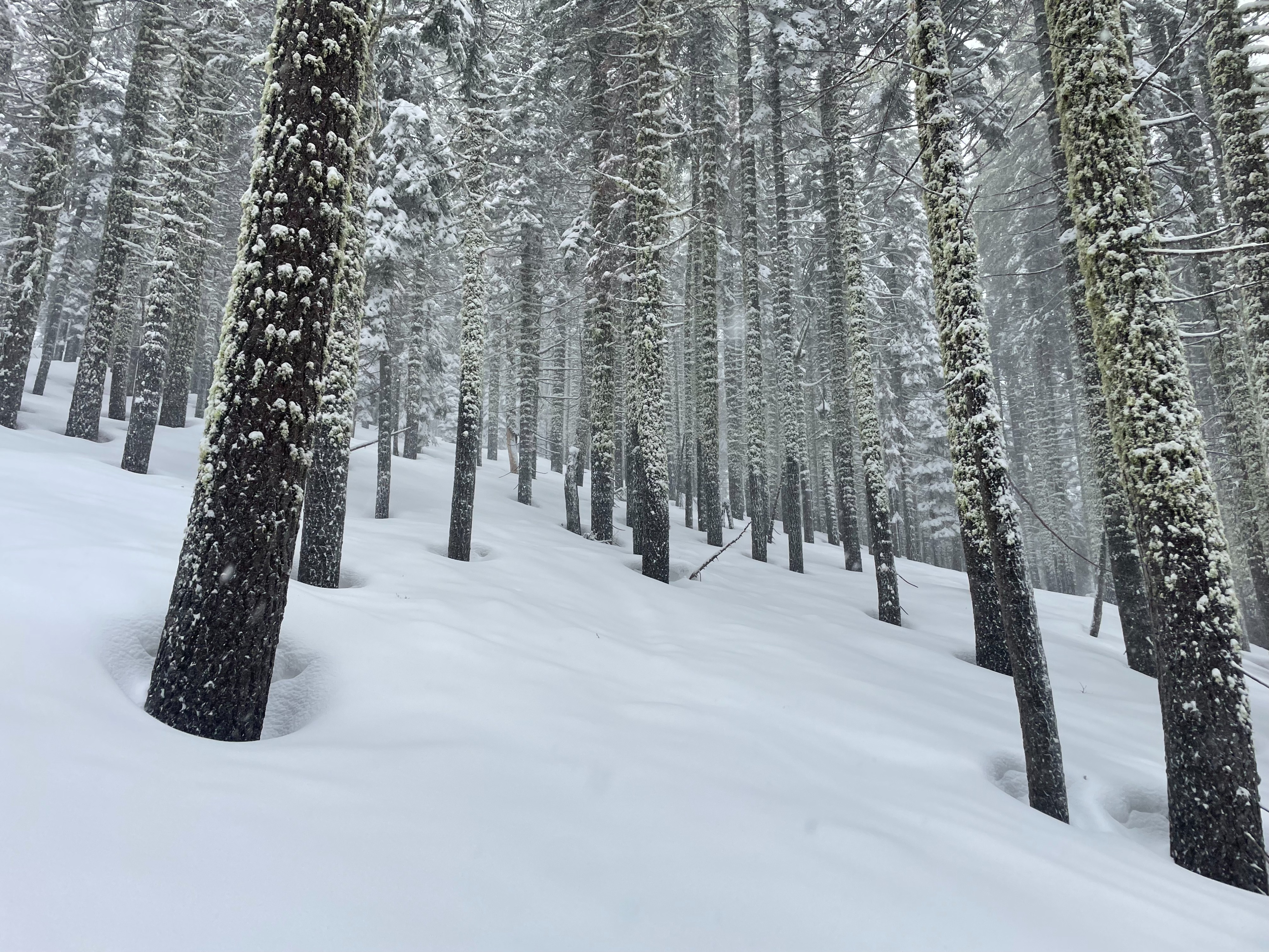
Today, I set out for Gray Butte in search for new snow totals, and assessment of wind/new snow instability. The rain/snow line was around 5,000 feet and lowering as the storm continues to cool in temperature. Significant snow accumulations start at 5,500 feet with about 6 inches of very heavy, wet snow. At 7,000 feet and above, the snow is significantly lower density, with 8–10 inches of new snow. The snow has right side up structure, with some instability on the density changes within the new snow.
Wind slab is the primary concern out there, with moderate to intense loading happening anywhere above 7,000 feet.