
Quick report
- Aspect
- Southeast
- Elevation
- 2896 m
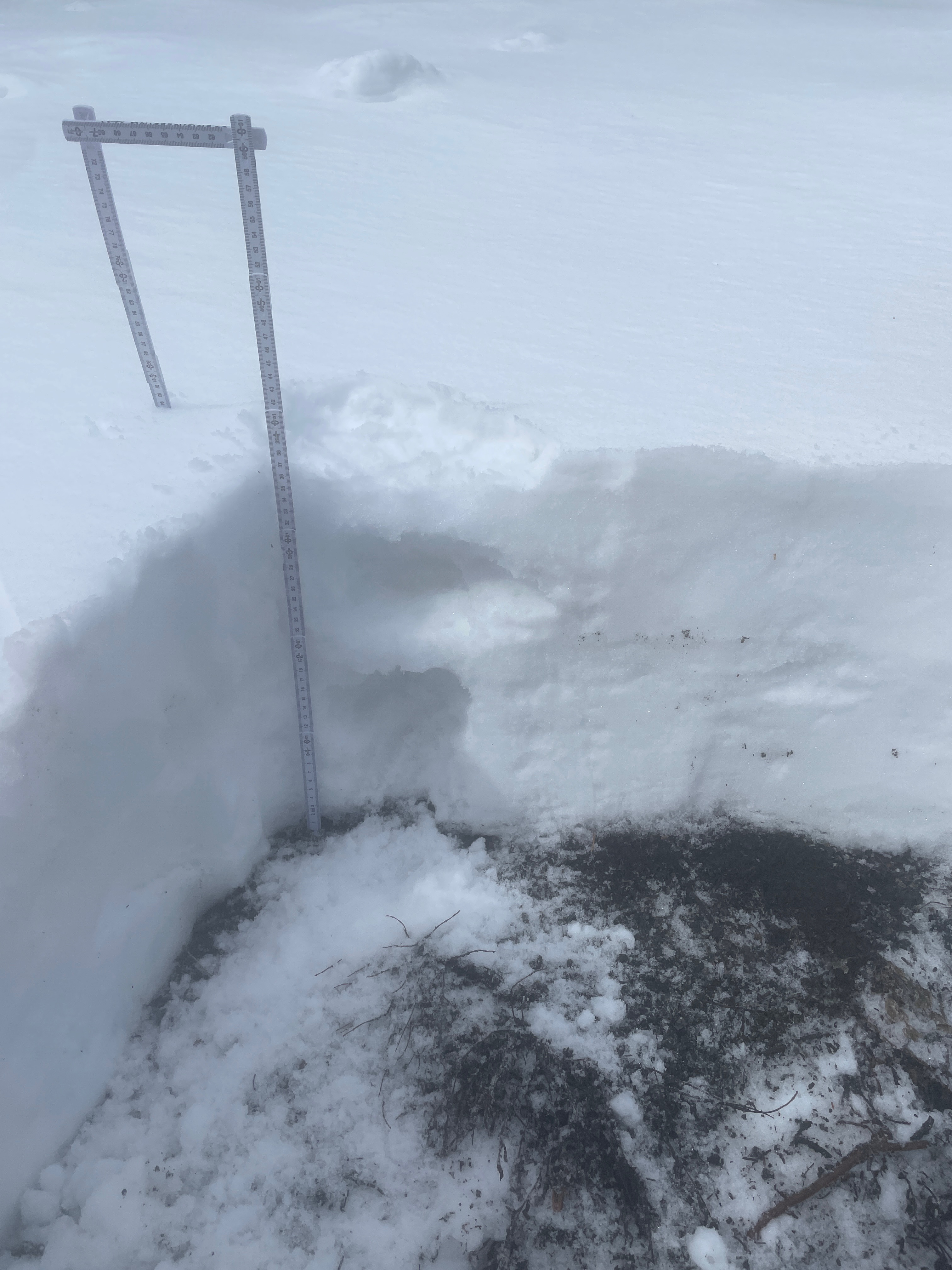
Snow structure in a southeast facing snowpit in Day's fork at 9500' was made up of 2 distinctive melt freeze crusts with moist rounded facets in between the layers. Height of snow was 38cm (14"). On the surface was an inch of so of very dense new snow that was melting quickly. This is similar to the structure we found on west facing slopes at a similar elevation.
East facing slope at 10,360' had more snow and previous wind loading. Facets near and just above the ground were rounding. Compression test results in the moderate range @95cm (37") but not repeatable. Layer of greatest concern is the fist hard rounding facets from the ground level to 25cm (10") off the ground.
Snowpack
- Instability Comment
- <p>Today was an overall Low danger day. It is still a time when I am choosing to ski terrain one-at-a-time and very aware of where I am on the slope when waiting for ski partners. The PWL on the ground level has started to round in many places and surface instabilities at higher elevations were non-existent where we traveled.</p> <p>Smallest wind-drifted snow pocket on a north facing slope at 10.200'.</p>
Travel today included all aspects N-E-S-W at elevations ranging from 10,500' to 8600'. Southerly facing terrain was a supportable crust with new snow on top, while north-east-west facing above 9,000' was good skiing with about an inch of new snow. Throughout the day the clouds were in and out and north facing low angle terrain seemed to have some greenhousing going on with skin glopping on December 20th.
Cloudy skies in BCC and clearing skies in LCC were similar to what we saw throughout the day.