
Quick report
- Cracking
- specific
Red Flag Conditions Present
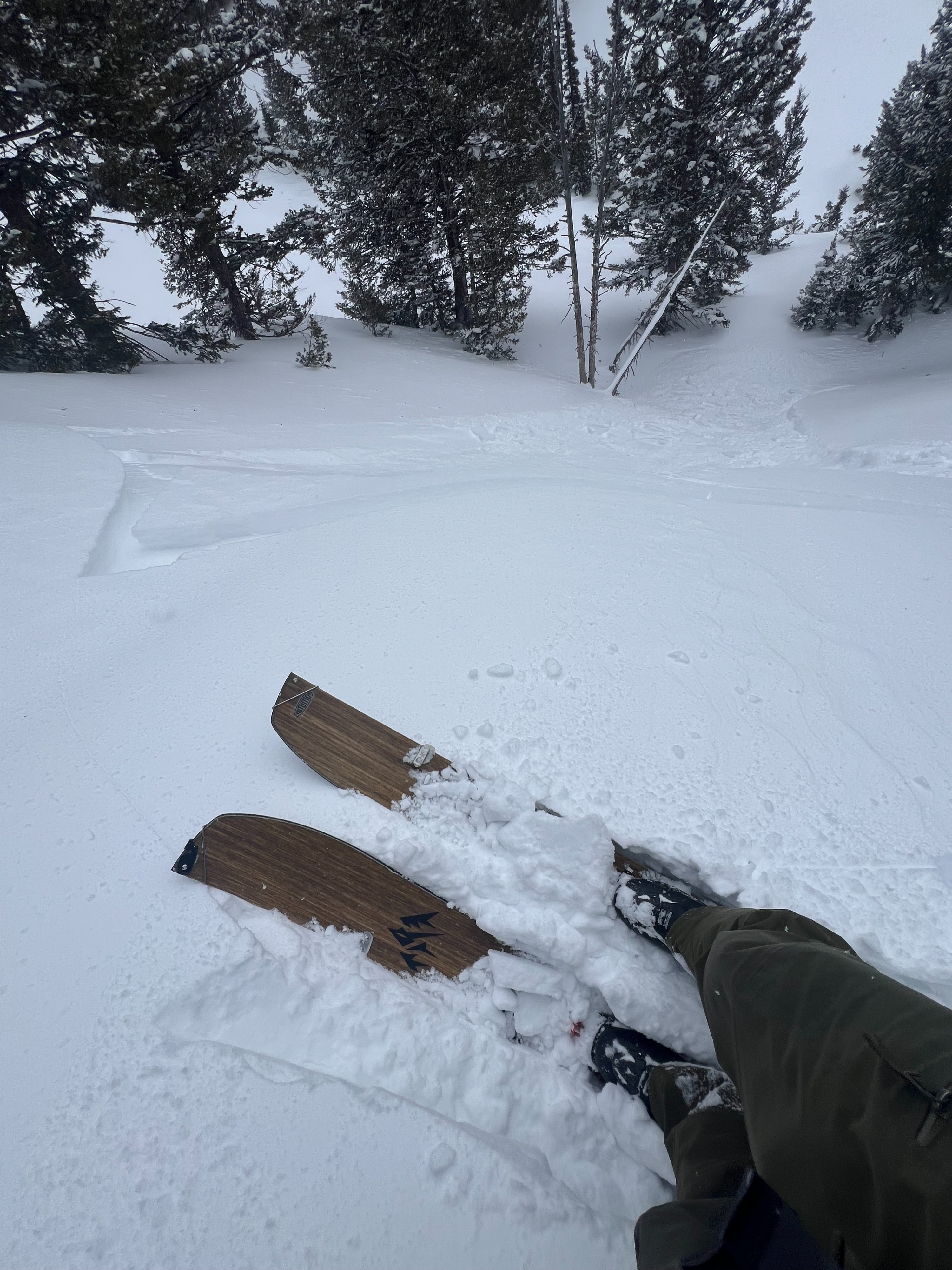
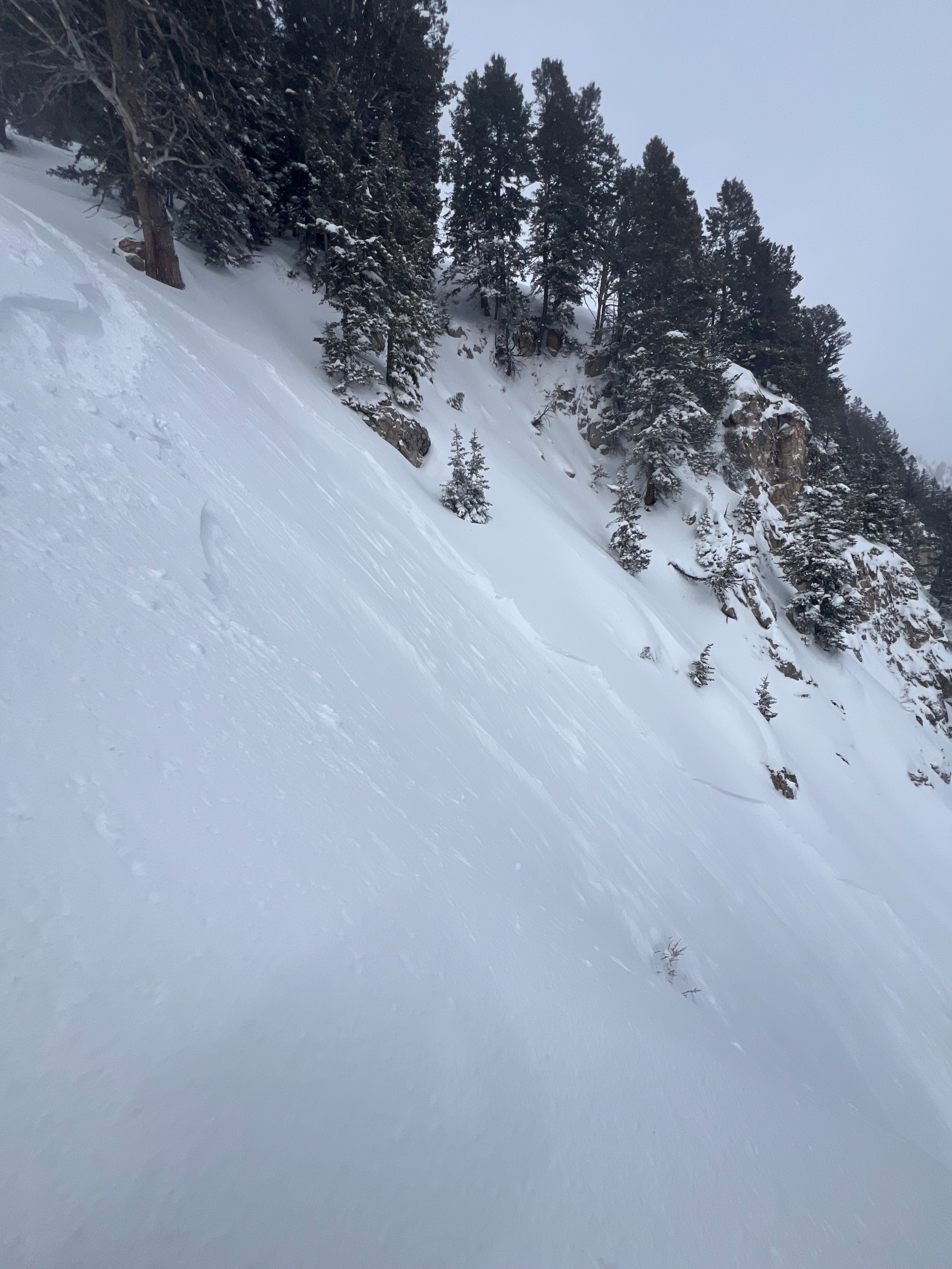
Average of 4-8" of new, dense wind-packed snow (supportable with wide skis or board). Isolated wind loaded pockets around 12" deep. Wind loaded snow was touchy and avalanches were very easy to initiate on steep leeward slopes. D1, R1 wind slabs were 4-8" deep failing on density changes. These avalanches did not step down to deeper persistent weak layers.
New snow is sitting above breakable melt freeze crusts on S aspects and DF (old snow) on E aspects and bonding well. Hand shears were failing on density breaks, not old interface. Fairly widespread slab character of new snow due to the strong wind intensity (30-50 mph with gusts above 60mph at JHMR Summit from 06:00-13:00). Moderate-strong south/southwest wind. Light-moderate snow showers (periodic) with broken cloud cover. Departed around noon.
Dense, wind loaded snow will add significant stress to areas that harbor persistent weak layers. Especially since the most reactive weak layers lie on northerly aspects that were being directly loaded by southerly wind.
Avalanche
- Size
- D1 R1
- Type
- SS
- Aspect
- E
- Trigger
- AR
- Elevation
- 9000 ft
Heard a report of an avalanche off the upper ridge on the NE face after we departed.