
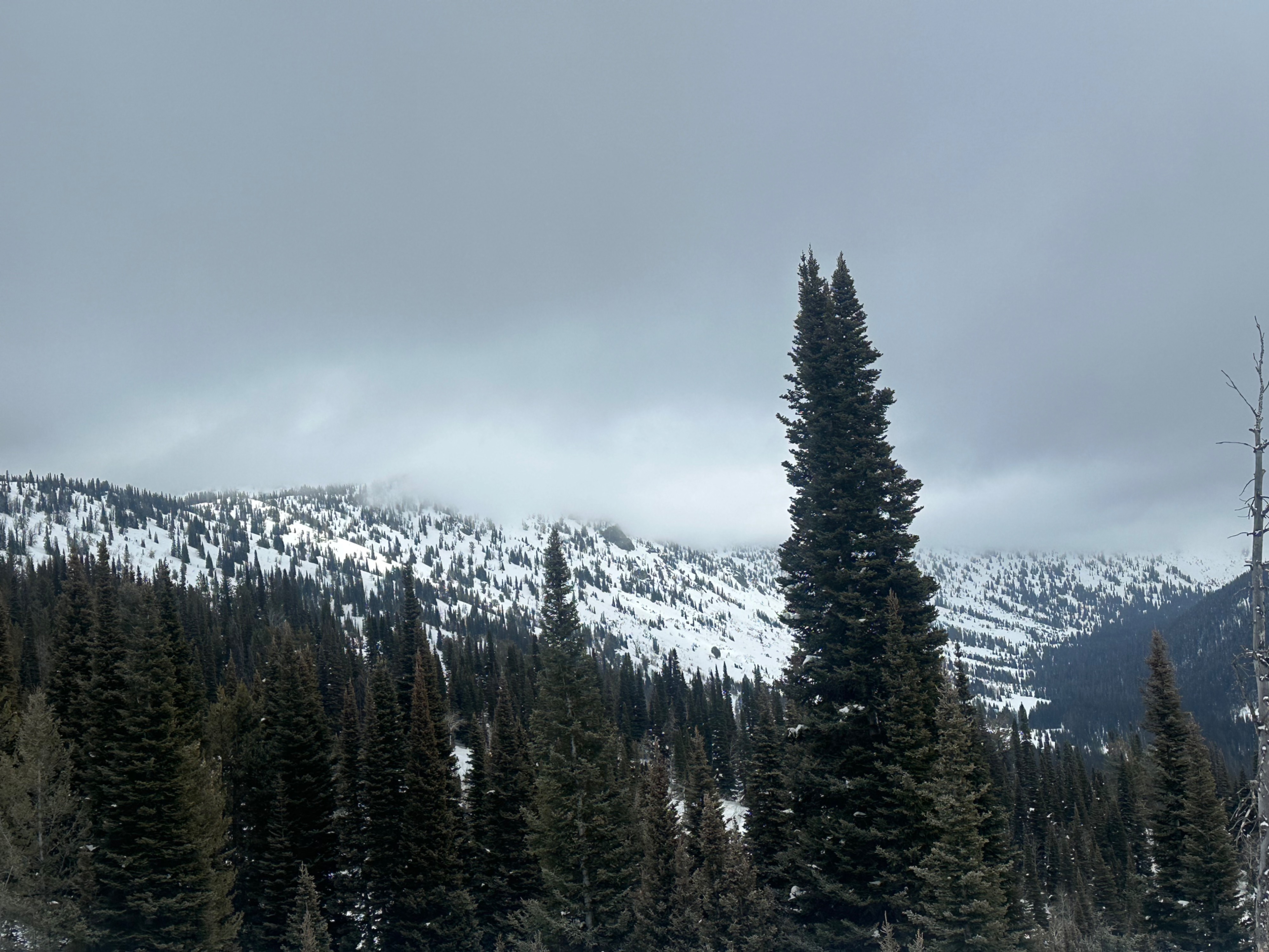
Weather
- Cloud Cover
- broken
Snowfall from valleys to ~9,000'.
Snowpack
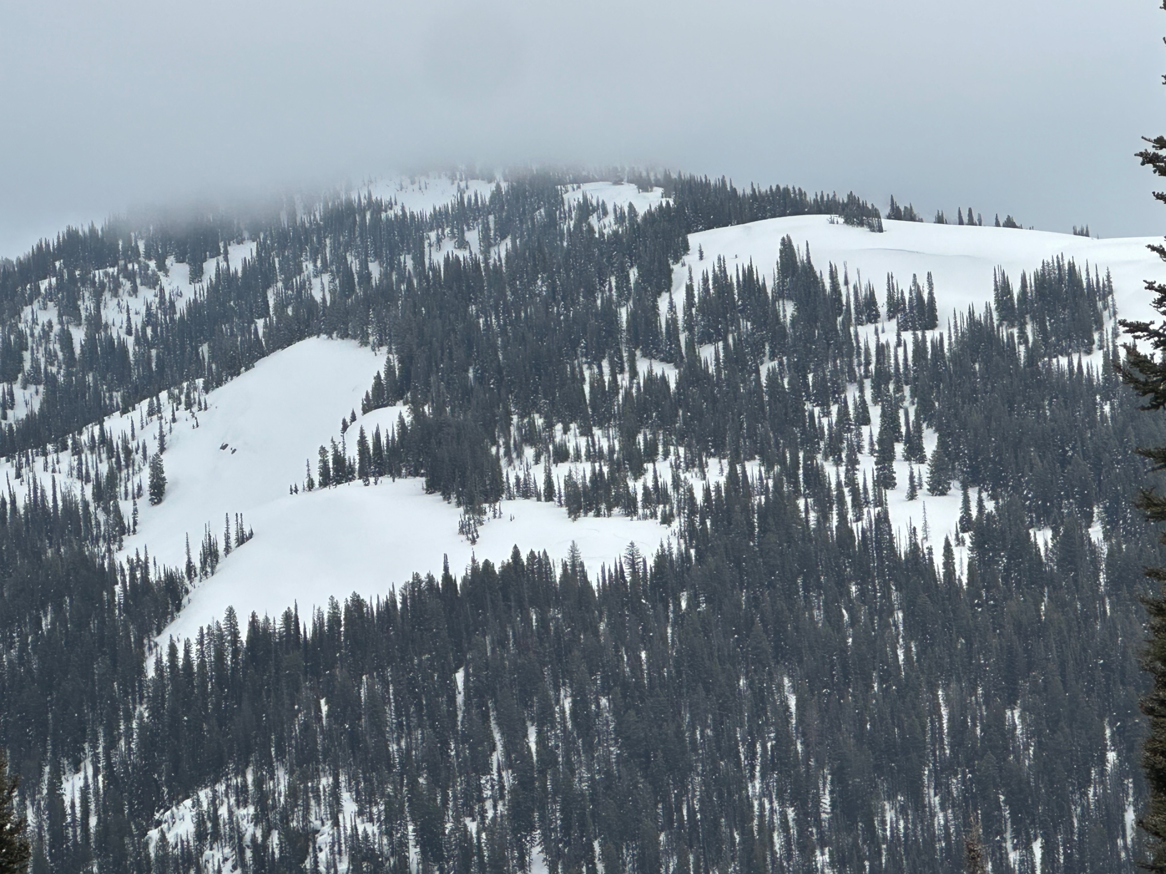
Riding conditions were forgiving despite most low and middle-elevation terrain across multiple aspects being crusted (as well as all steep S-facing aspects extending to upper elevations). Though we have had a refreeze, usually, it takes a few days of hard refreeze for moist/wet snow to firm up unless the temperature change is particularly extreme. I found an average snow height around 260cm (over 8 feet) at 8,700 feet. The top meter of the snowpack on a W/SW aspect consisted of a recent melt-freeze crust at the surface with a dusting of new snow, under which was about 1 foot of rounded snow, which was soft but has remained dry since the recent warm-up. Beneath that was a stouter rain crust (1-2 feet deep), with consolidated, rounded snow beneath that. Overall, a pretty cohesive top of the pack, with little else felt deeper regarding weak snow. N aspects held moist but technically dry snow lacking a surface melt-freeze crust, but at this elevation, did have the rain crust around 1-2 feet deep. This crust should be watched if a large warm-up or extensive amount of rainfall occurs early this spring. Luckily, temperatures remain cold enough that all precipitation this week should come in as snow in the mountains, followed by warm temperatures through the weekend. Due to rain and warm temperatures, however, the low-elevation snowpack appears to be retreating rapidly.