
Quick report
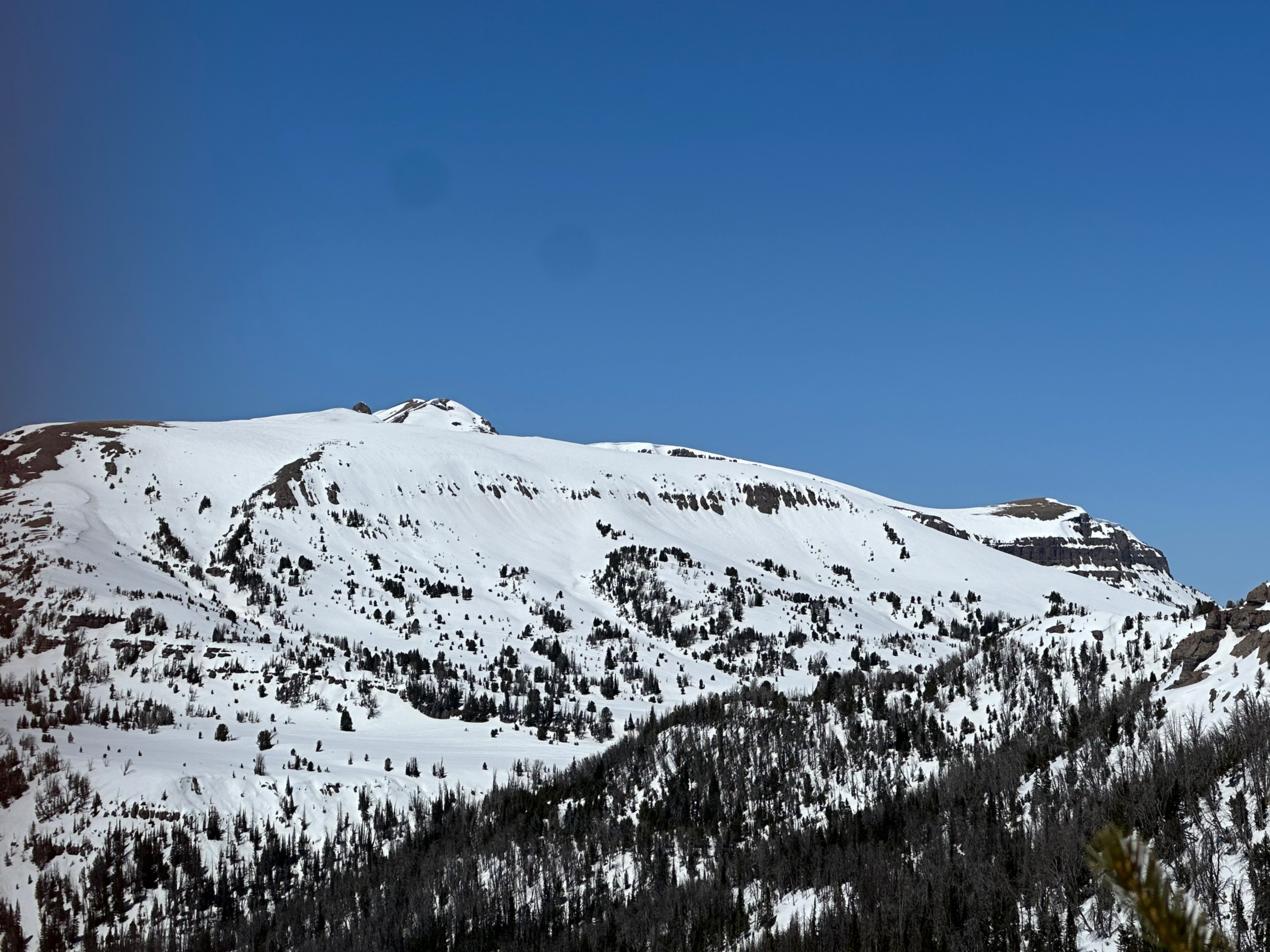
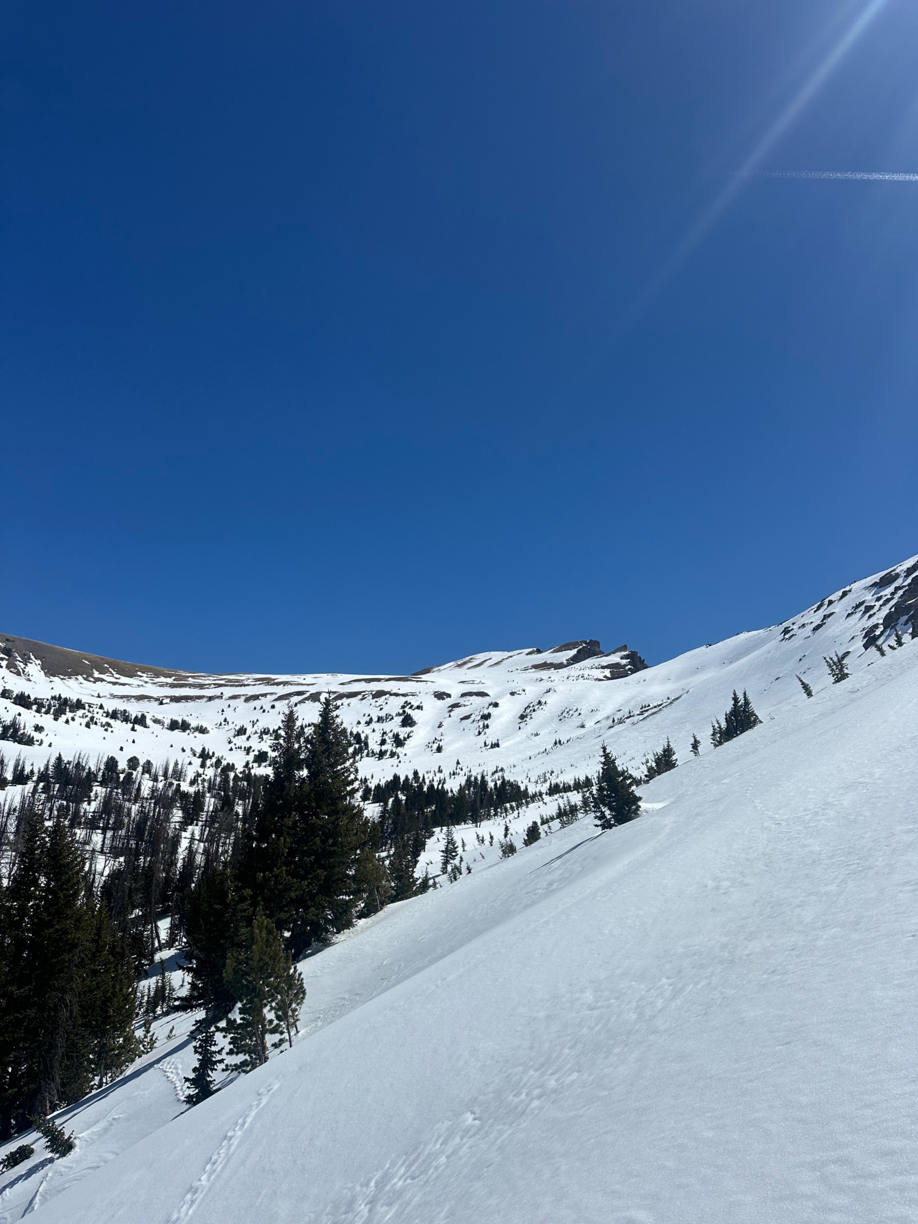
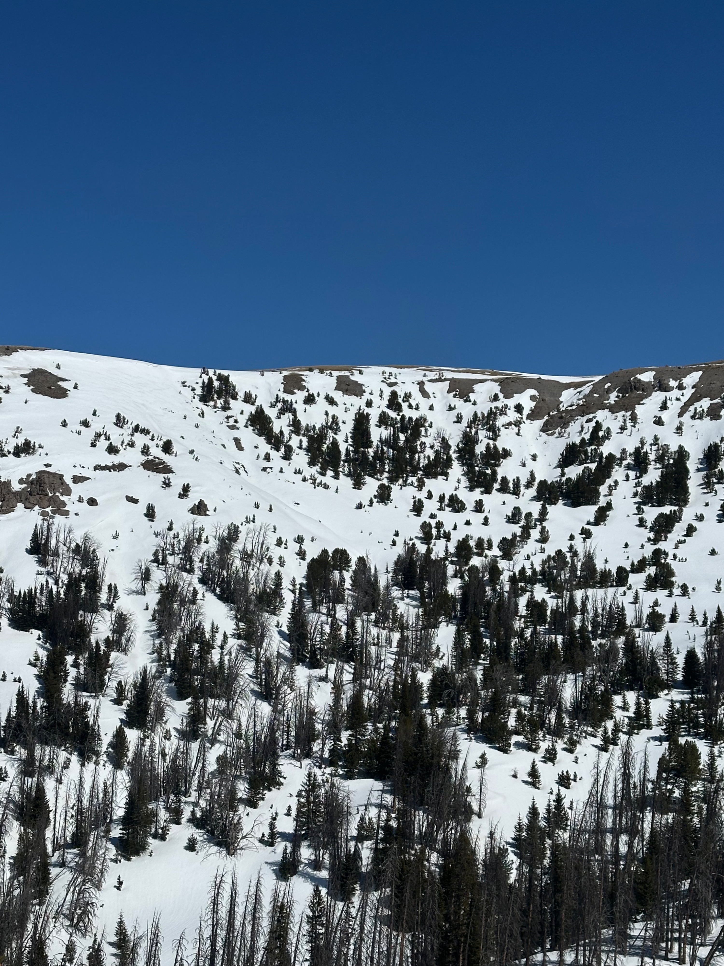
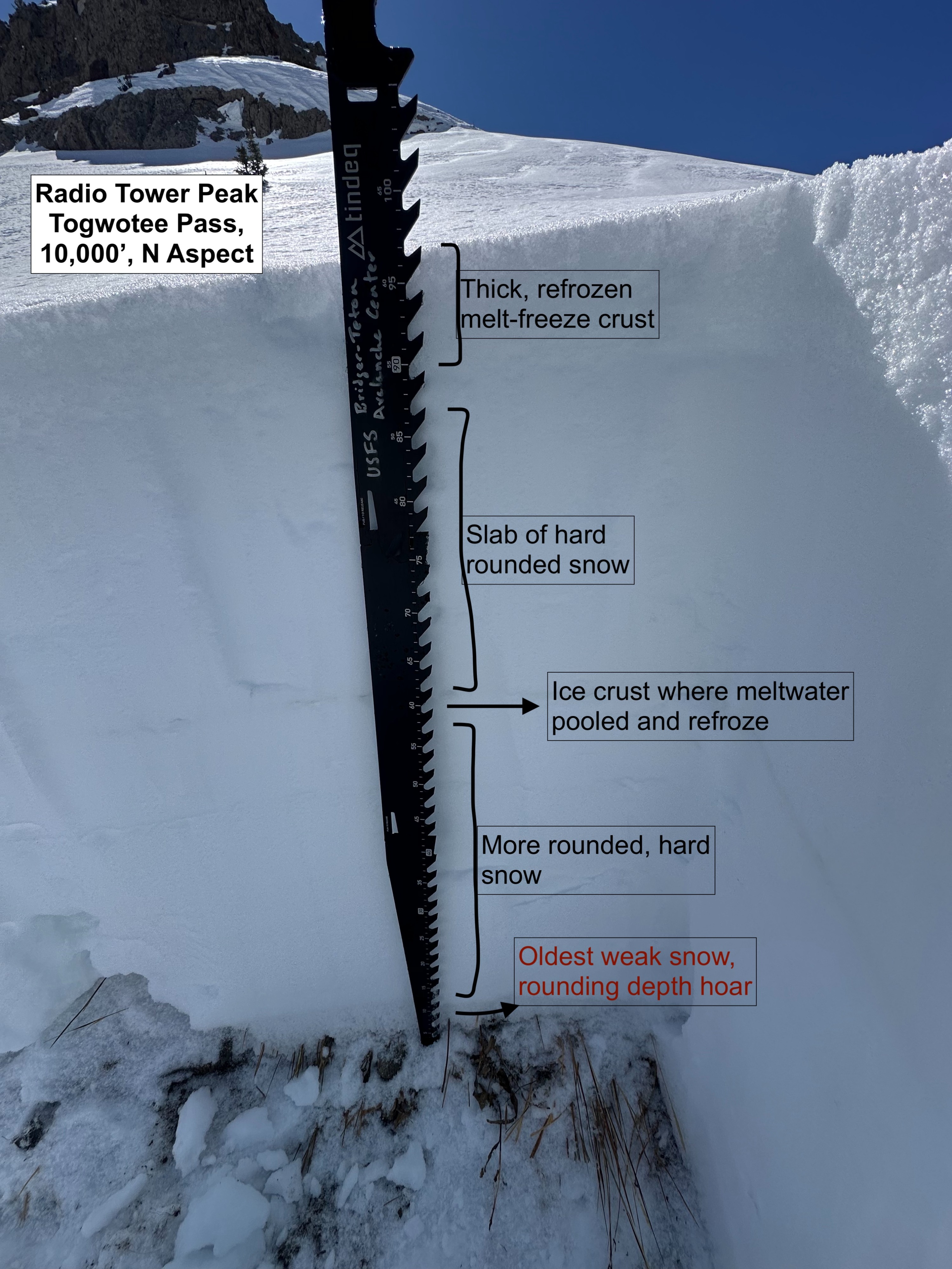
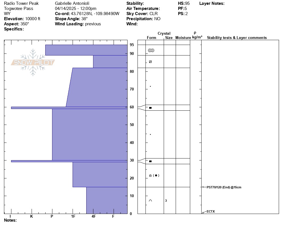
Returned to the location of the 1/4 avalanche incident to look at how the season panned out for this snowpack and the effects of warming in a location that likely harbors weak snow near the base of the snowpack. I found what remains a generally shallow snowpack (~95 cm, 3 feet). Weak snow remains in the bottom 10-15cm of the snowpack, but it is rounding and harder than previously in the season due to the introduction of some spring moisture. The majority of the snowpack has consolidated to hard rounds perforated with percolation columns and several crusts where water has pooled and refrozen. This produced no results in an extended column test (ECTX) and stable results in a propagation saw test (PST 70/120 End). I'd be suspect moving forward of N aspects that are shallow if slopes ever turn isothermal (fully wet and weak) with this kind of structure, but otherwise warm days with nights of refreeze have bode well for the deeper weak snow problem here.
Winds were keeping things cool, and with a hard refreeze, only mid-elevation solar slopes were softening late in the day (~3 PM).
Weather
- Cloud Cover
- clear
- Wind Loading
- none
- Recent Snowfall
- 0
- Snow Avail For Transport
- none