
Quick report
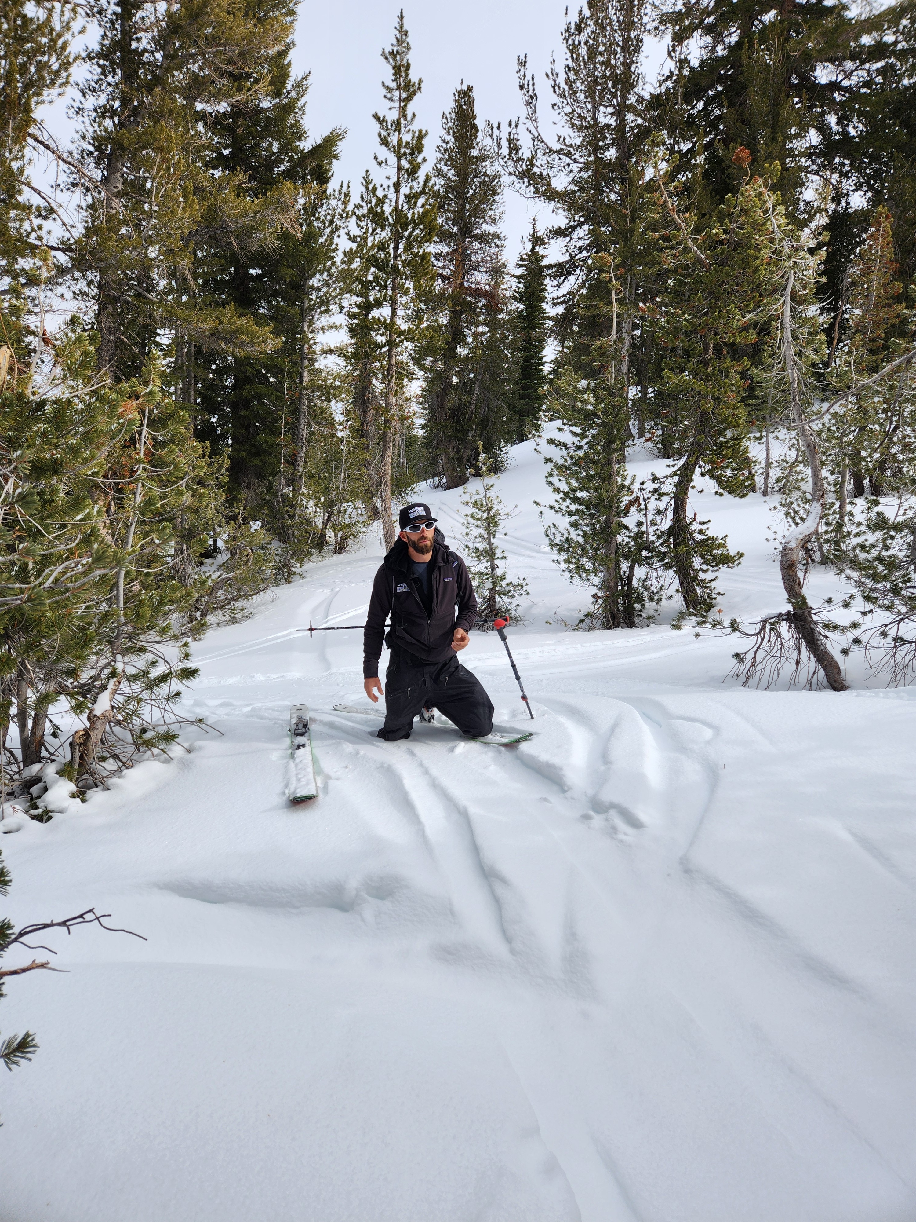
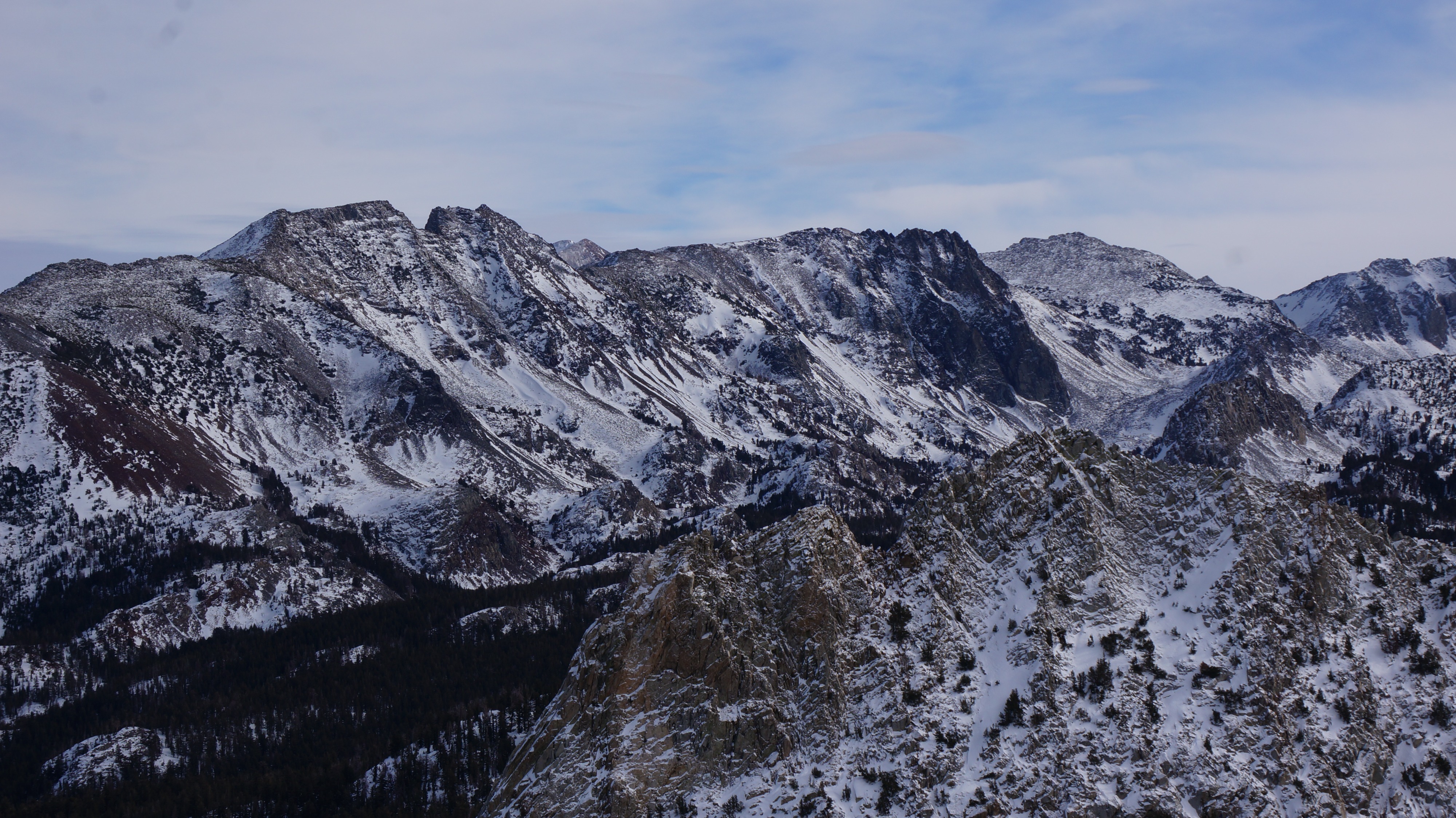
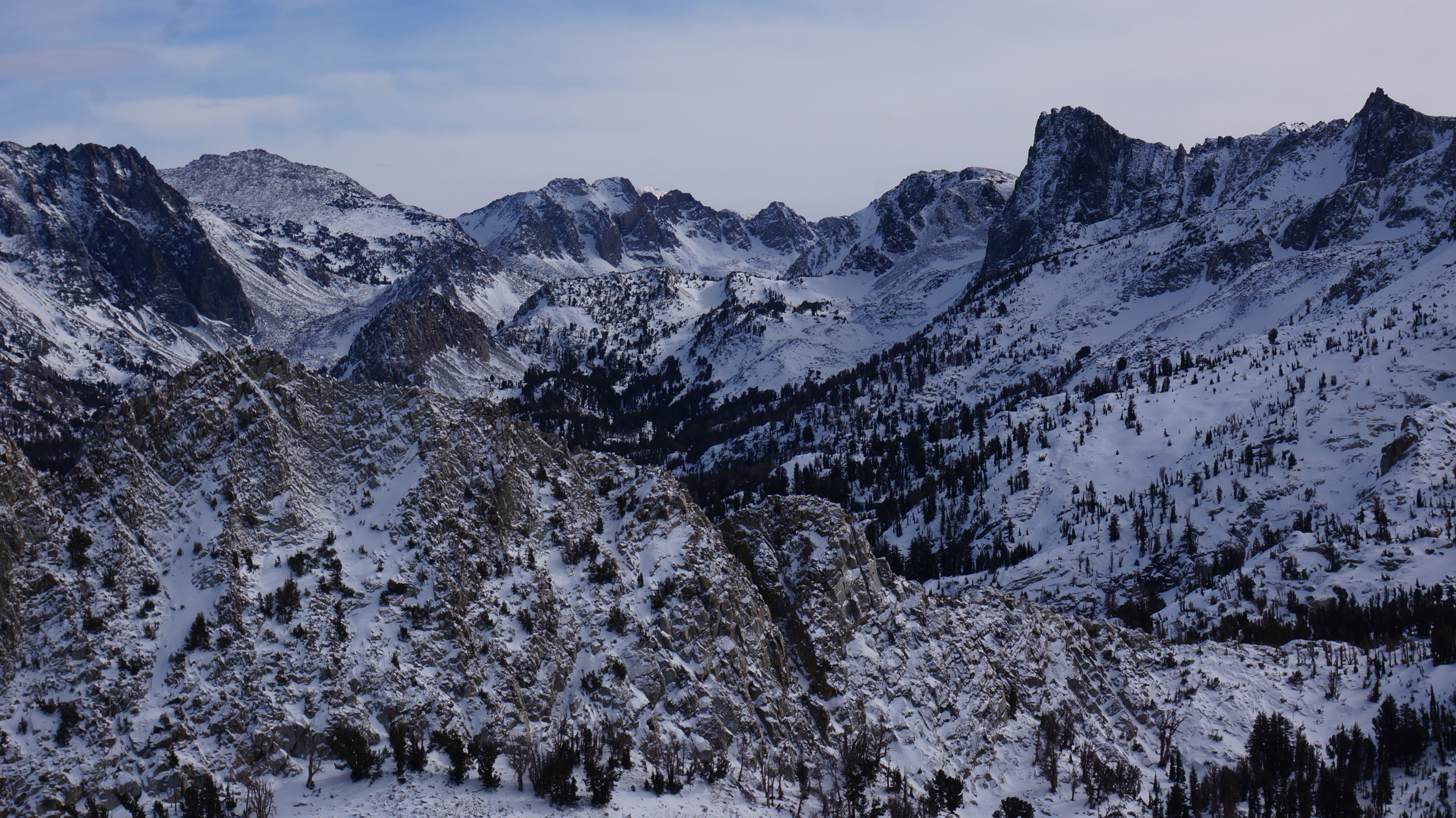
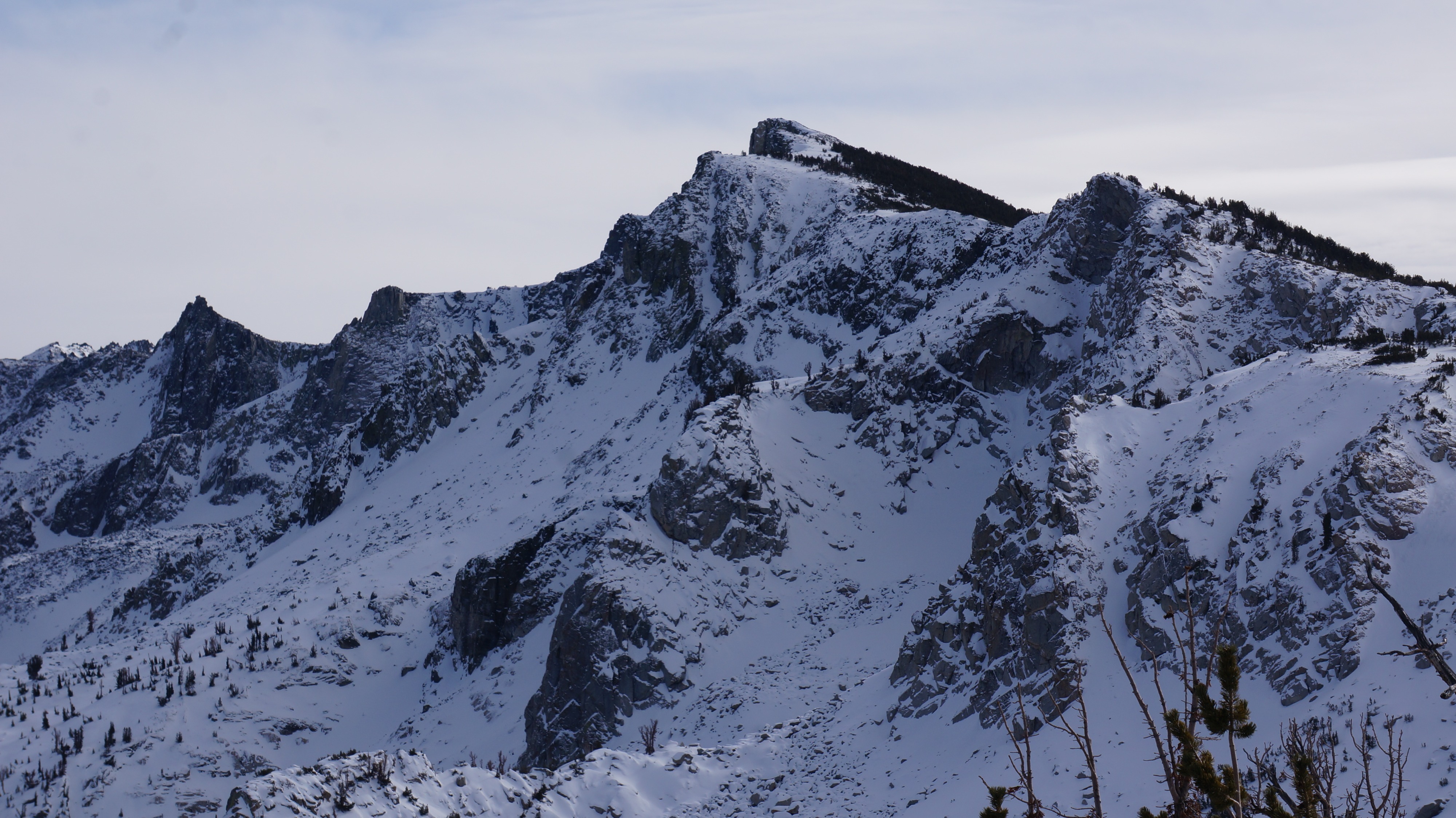
We went to the Mammoth Crest to confirm today's avalanche forecast and get a better sense of the variability in the snowpack.
- Yesterday's "storm" dropped trace to 2" of new low-density snow on top of crusts and loose facets at the snow surface.
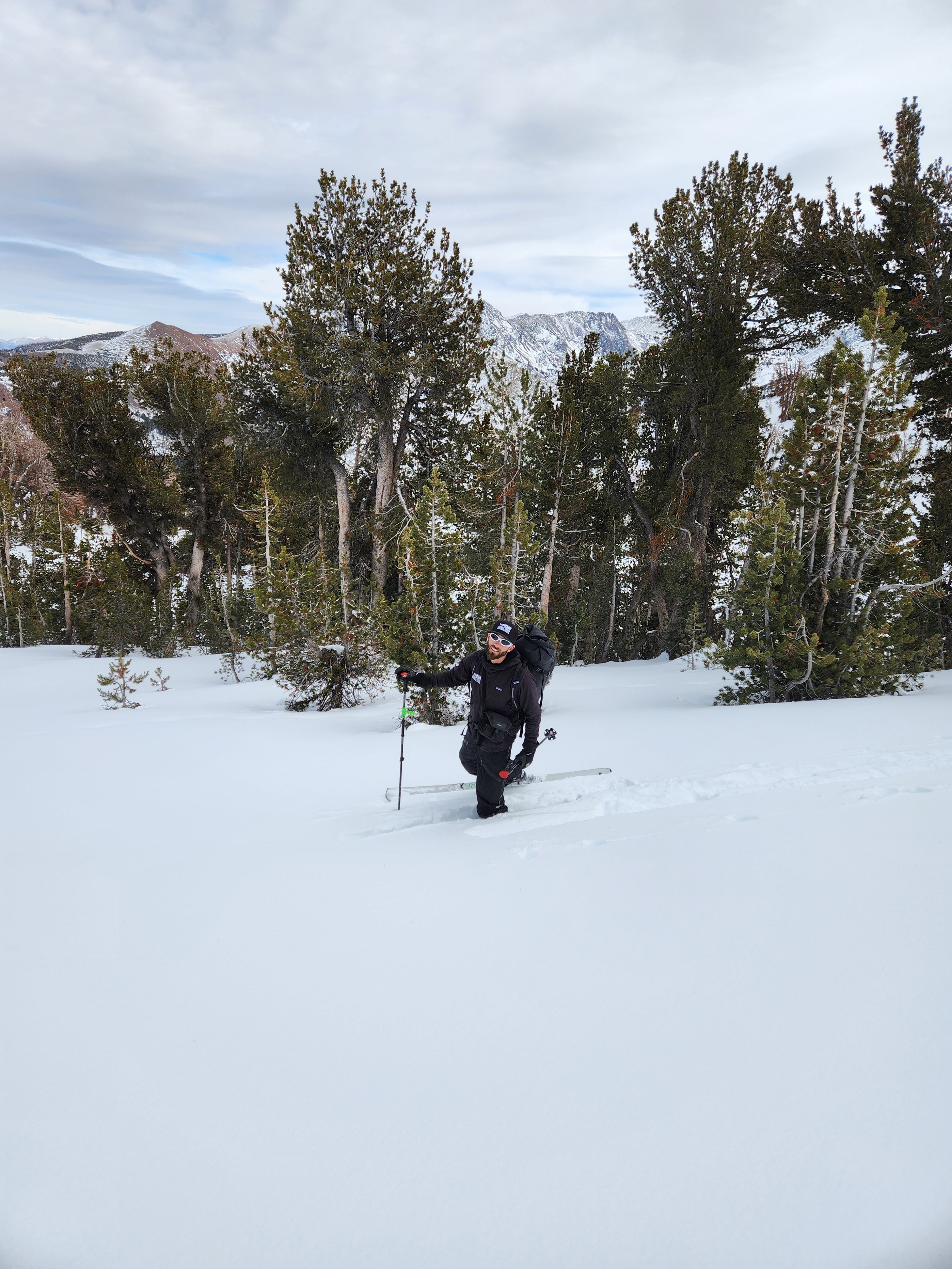
- Snow cover is thin everywhere. Careful downhill travel is necessary to avoid wrecking yourself or your boards on rocks and logs.
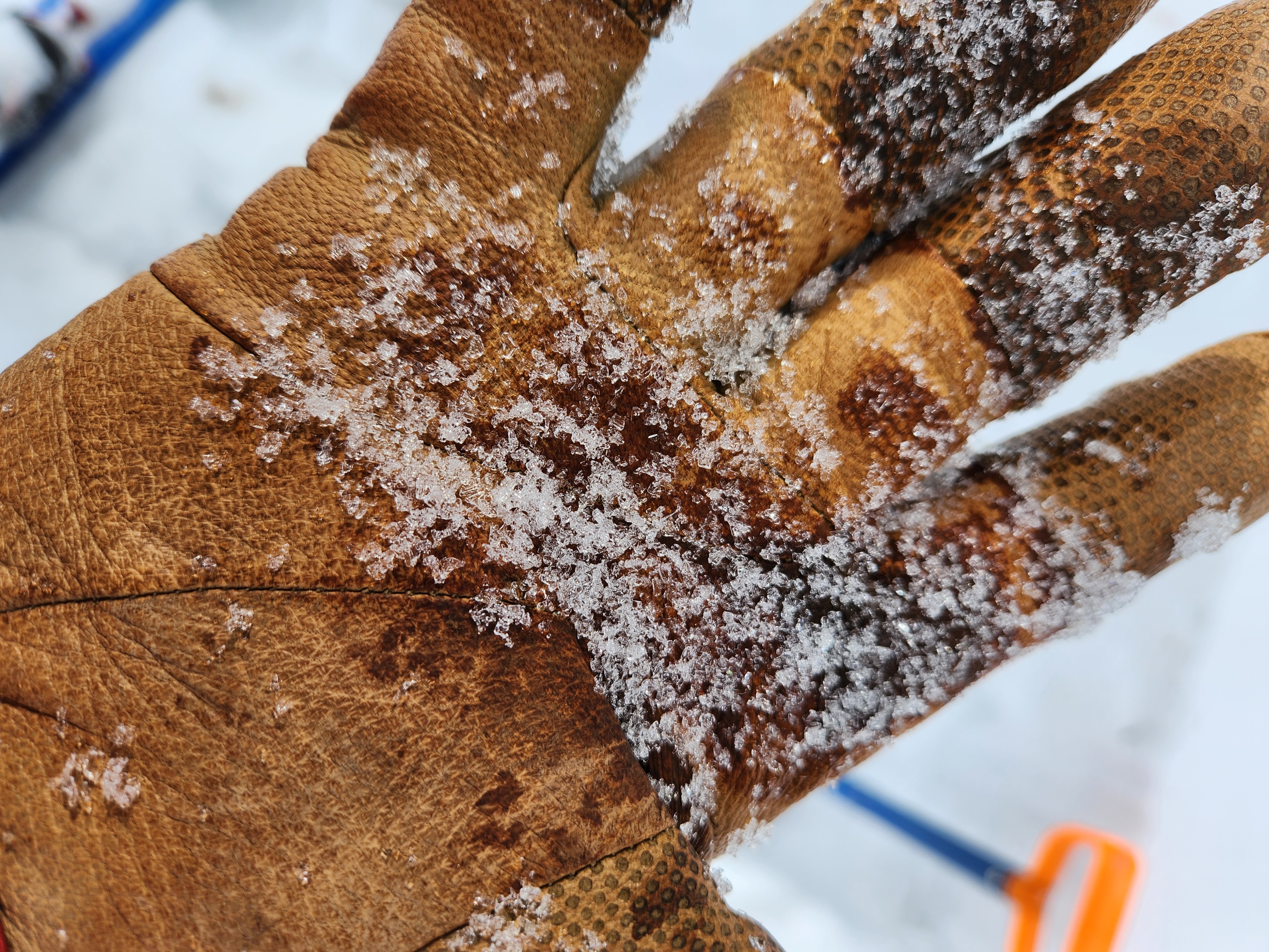
- The snowpack is faceted and weak, poorly bonded grains - like sugar, rock salt, or grains of coarse sand - exist on almost every shady slope (northwest, north, northeast, and east) with coverage.
- There is considerable variability between places where a slab overlays the persistent weak layers. The perfect recipe for a persistent slab avalanche seems more isolated today.
Weather
- Air Temp
- 27
- Cloud Cover
- overcast
- Wind Loading
- none
- Recent Snowfall
- 4
- Snow Avail For Transport
- small smounts
Calm to light south wind. Cloud cover decreased slightly throughout the day. While it remained cold near and above treeline, temps below 9500 feet rose above freezing. No snow today.
Snowpack
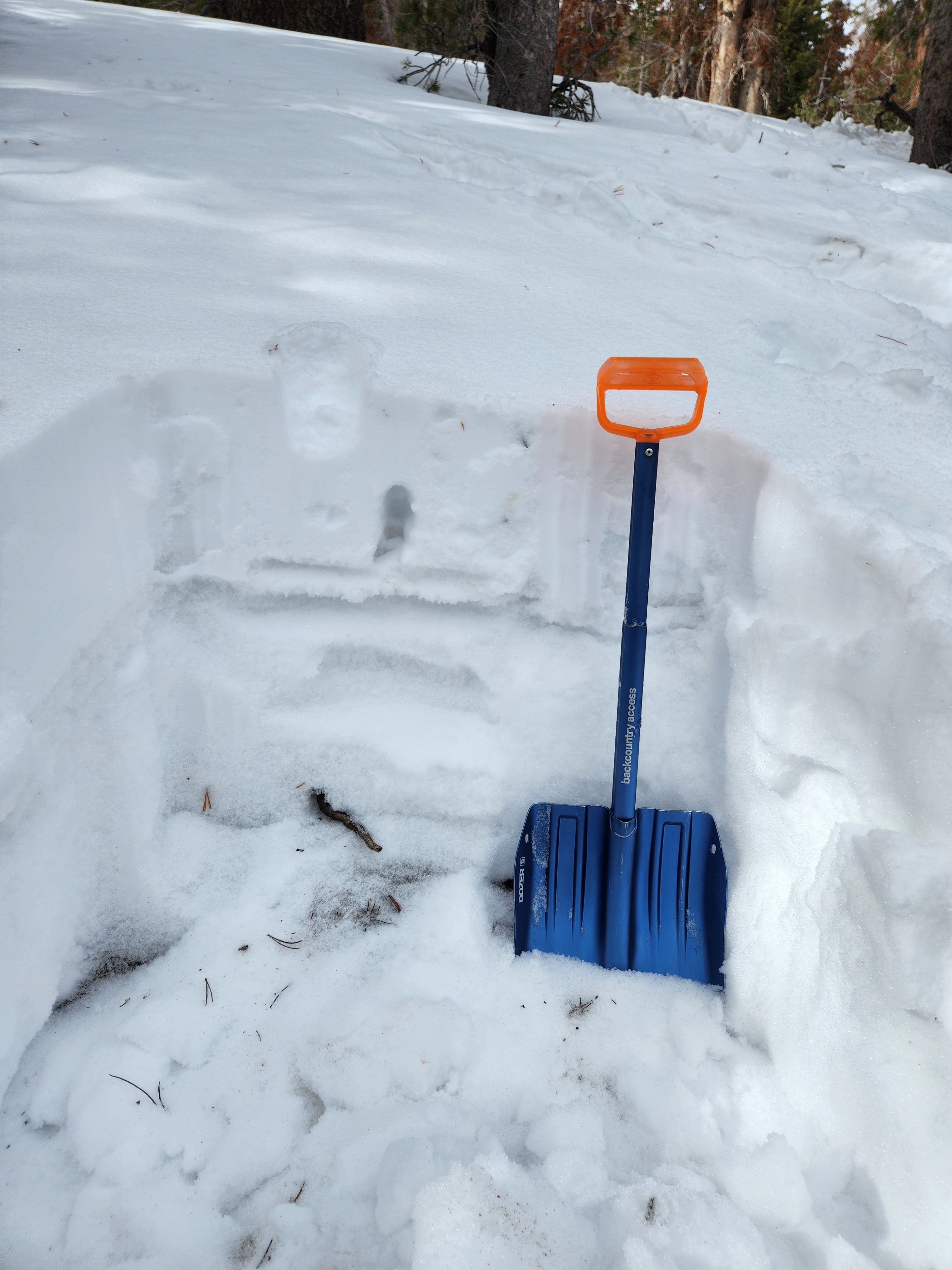
We dug on both west and northeast slopes between 10,000 and 10,300 feet. On the west, the snow above the basal weak layer has also faceted. On the northeast, a thick, hard wind drift covered the fragile weak layers. Both of these setups make the persistent slab problem locally harder to trigger. They also mean that there may be fewer places where thick overlying slabs are still consistent enough across start zones for large avalanches. We had to find just the right spot to get propagation in our snow pits.
Layers of more recent snow at and near the surface are also faceting, forming a new weak layer that may be a failure plane for future avalanches.