
Quick report
- Cracking
- specific
- Collapsing
- specific
Forecasters were out in the June Mountain backcountry today to track changes in the snowpack following the most recent storm:
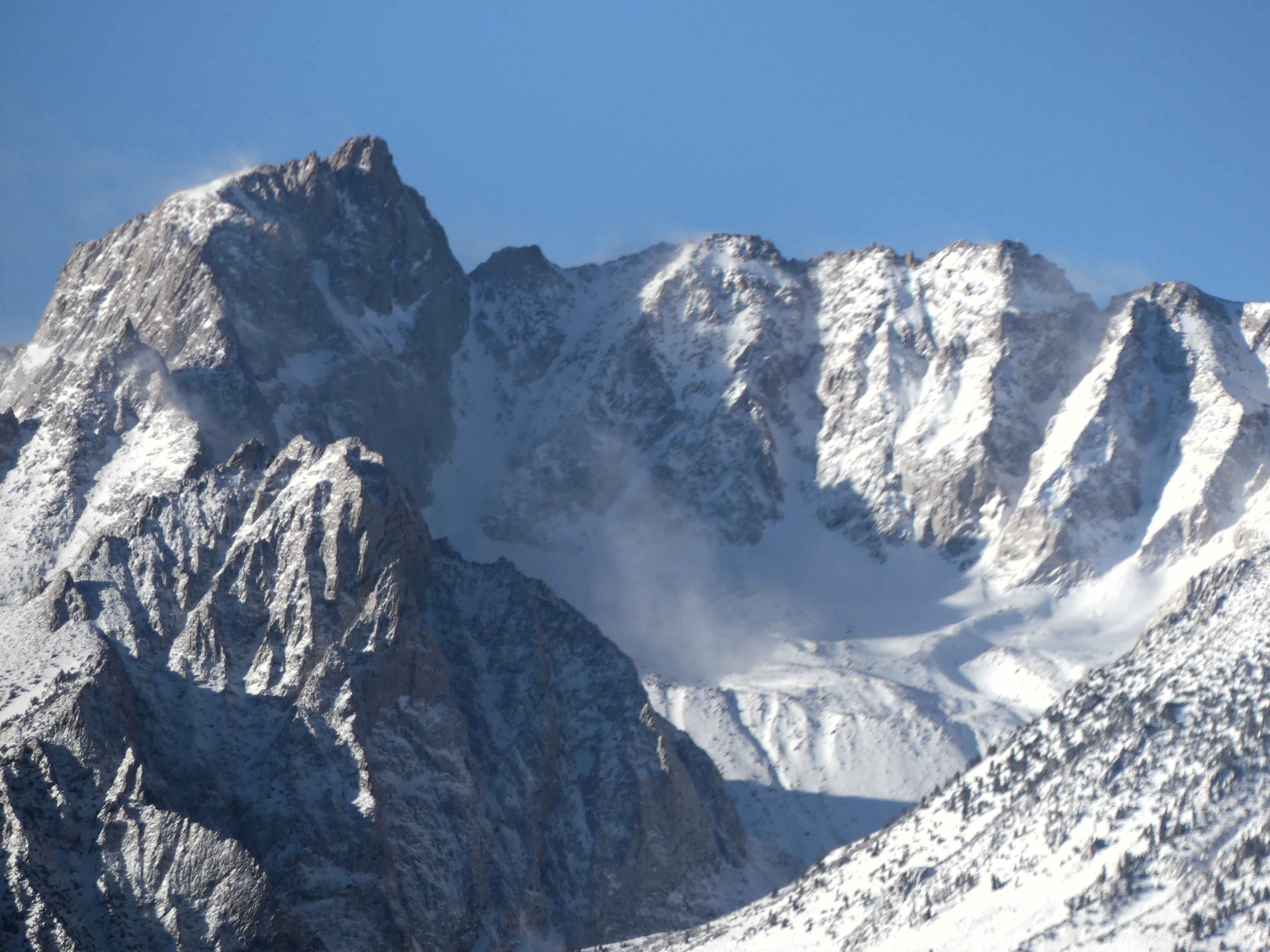
- The weather was calm and clear today at lower elevations. In the alpine winds shifted to the Northwest and blowing snow was visible over summits.
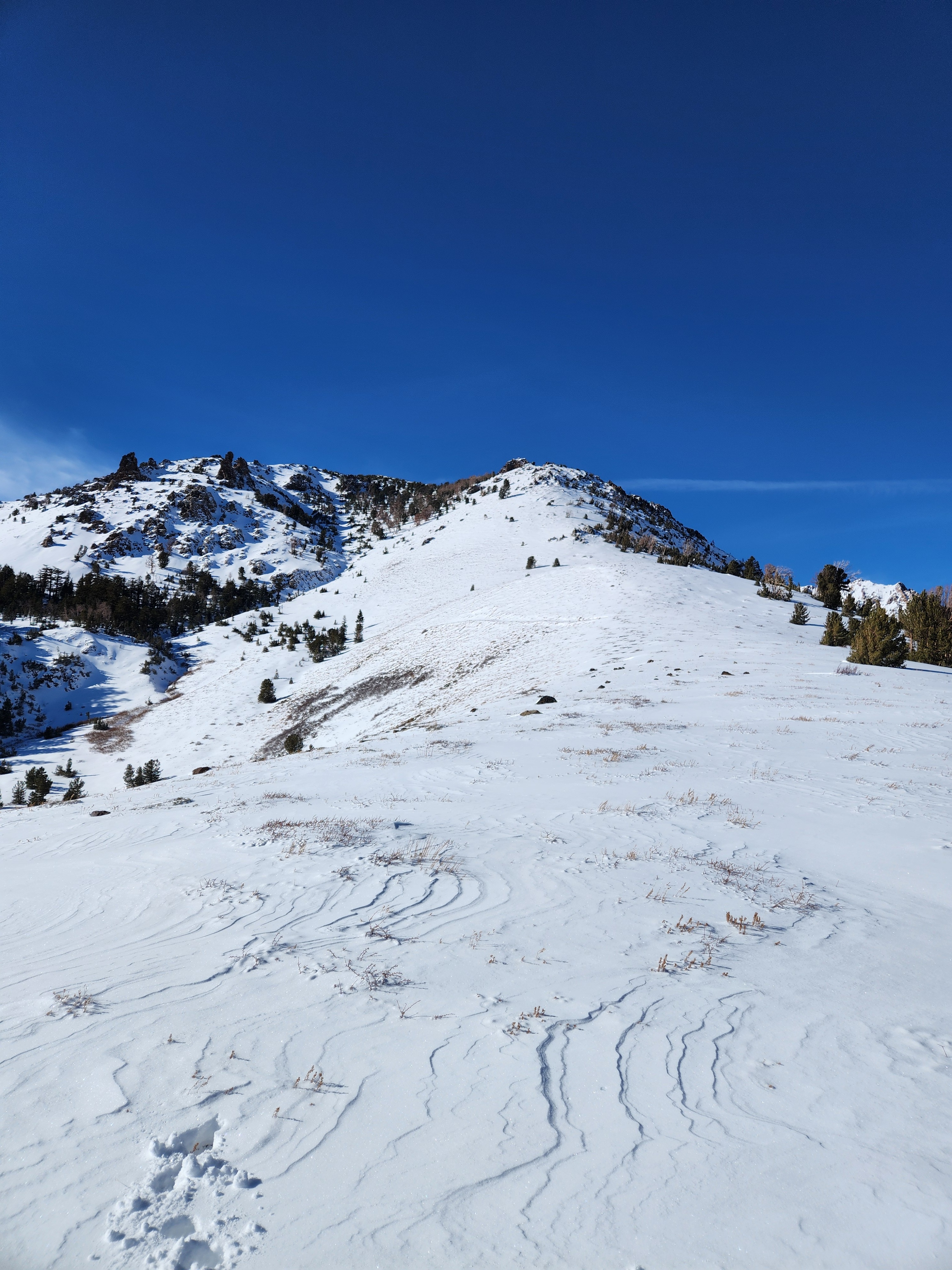
- Very little wind slab development occurred during the storm at lower elevations in the June Mountain area. The new snow was soft, incohesive, and evenly distributed over the terrain.
- At the upper elevations there is evidence of wind effect with scouring and loading, but patterns are hard to discern, it seems like the wind came from a few directions during the event.
- Both persistent weak layers (the January facets and the basal facets/depth hoar) produced signs of instability.
- From having visited the same slopes two days previous we were able to track an increase in both the likelihood of triggering a persistent slab avalanche and the potential size of avalanches.
At the end of the day, the discussion focused on how best to communicate the hazard tomorrow. The likelihood of natural avalanches has decreased significantly, but the potential for large human-triggered avalanches will be essentially unchanged.
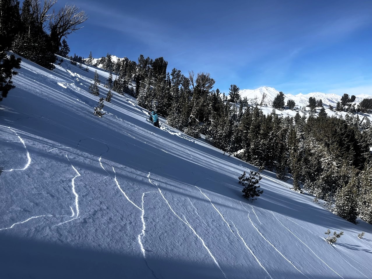
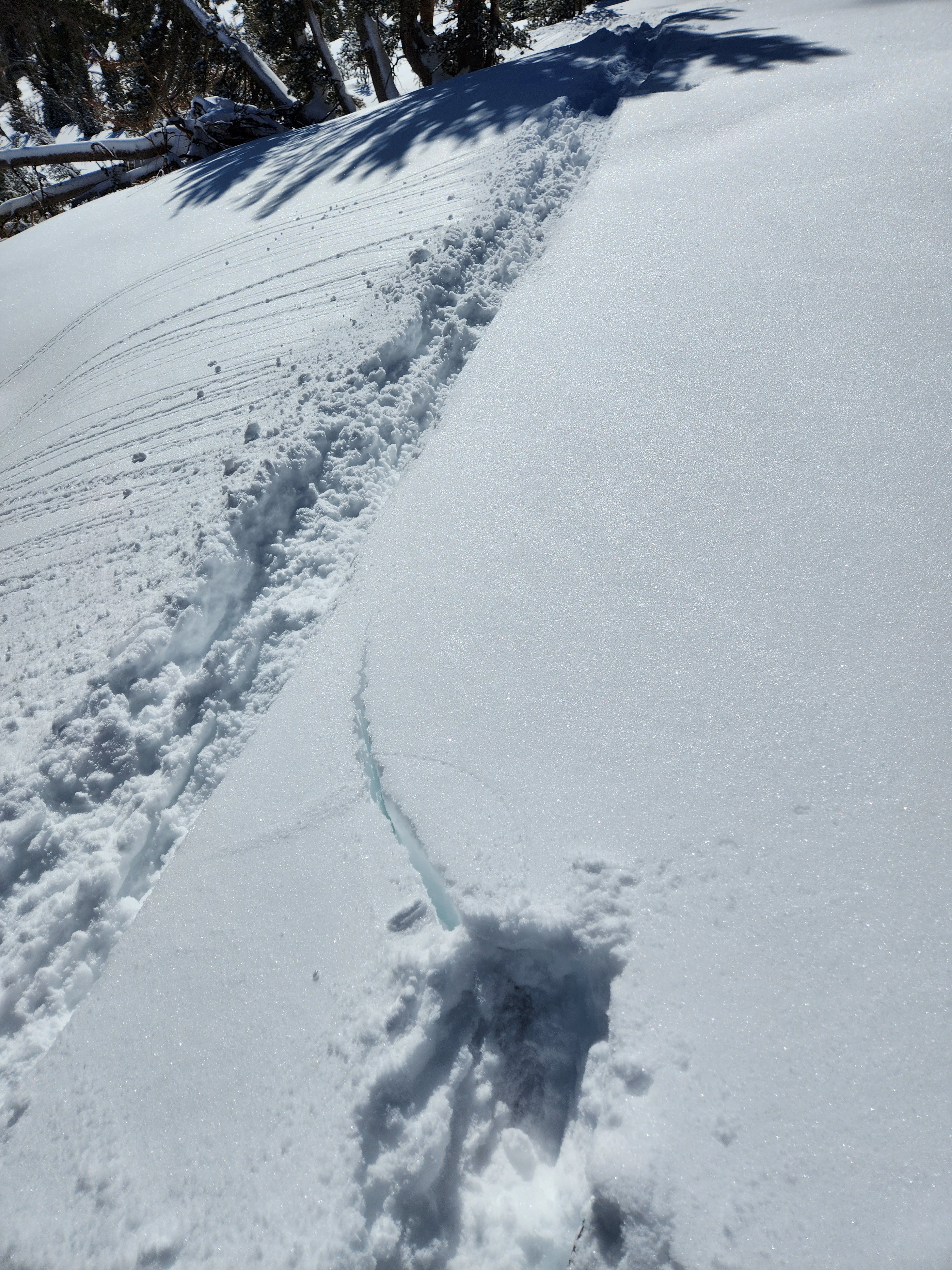
Slope scale collapses and shooting cracks were regularly found at forest openings and breakovers into North and East facing slopes near treeline. We traced cracks into both persistent weak layers (January facets and nov/dec depth hoar).
Weather
- Cloud Cover
- clear
- Wind Loading
- light
- Snow Avail For Transport
- large amounts
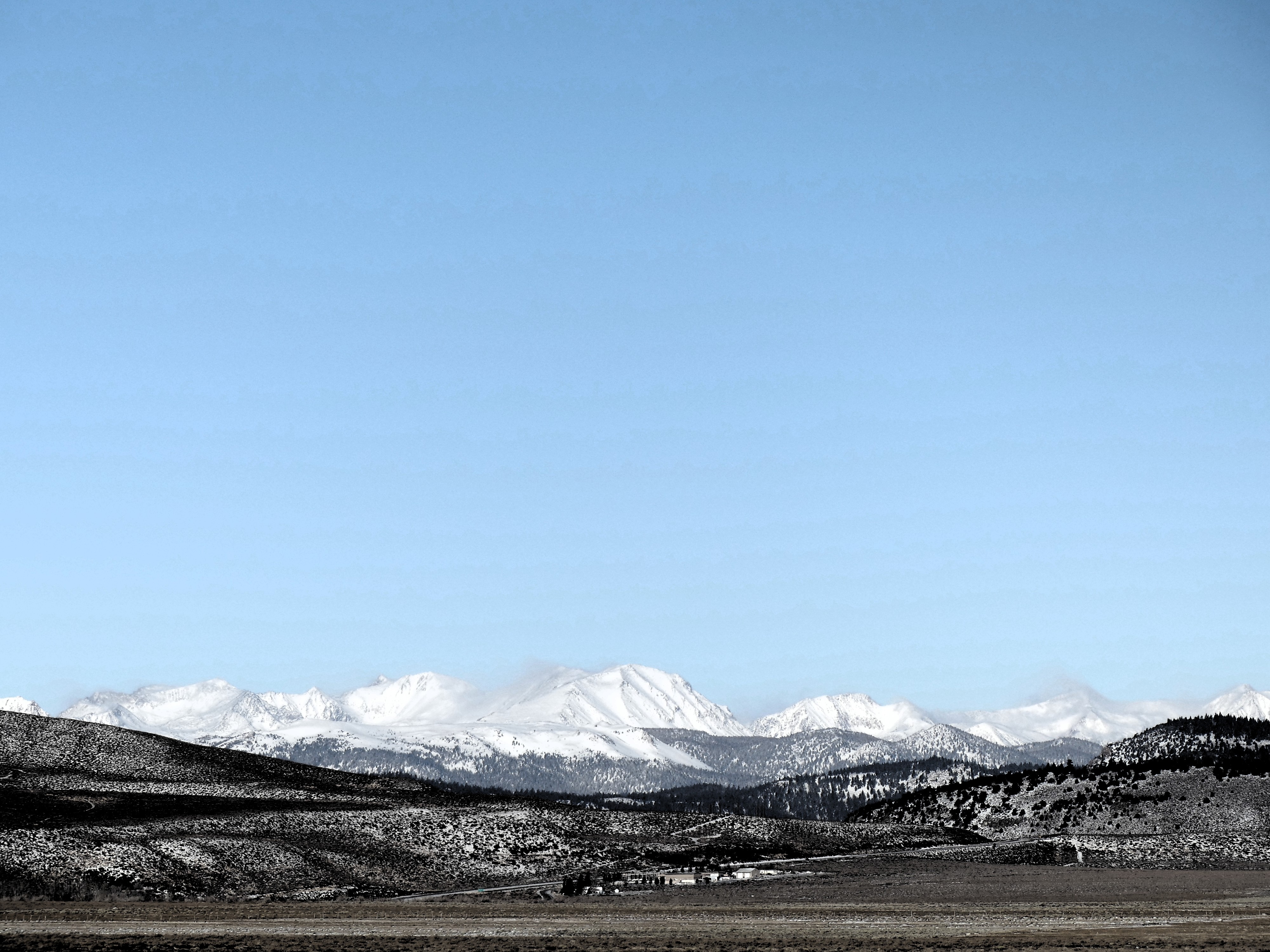
Sunny and calm at lower elevations. Moderate blowing snow driven by Northwest wind was visible on higher peaks, especially to the north of June Lake. Cold ambient air temperatures were made pleasant by calm winds and sun.
Snowpack
Below 10000' there was 20 to 40cm of soft new snow. The height of snow on N, NE, and E is between 60 and 100cm. On SE, W, and S there is a blanket of ~25 to 30cm of new snow over a minimal base. There is slightly less (or none) on exposed SW slopes. Ski penetration was almost always at the top of the boot cuff, slightly more in sheltered forests and north aspects and slightly less in wind-exposed features. Boot penetration is to the ground, almost without exception.
As expected we found two persistent weak layers of concern in North and East facing terrain; basal facets and depth hoar in the lower snowpack and medium-grained facets below a thin wind crust under the two most recent storms. Both layers showed signs of instability on our tour.
Very little wind effect was noted in the most recent snow in the area we visited.
Avalanche
- Size
- D2 R1
- Type
- SS
- Aspect
- N
- Trigger
- N
- Elevation
- 11000 ft