

Quick report
- Cracking
- Observed
- Collapsing
- widespread
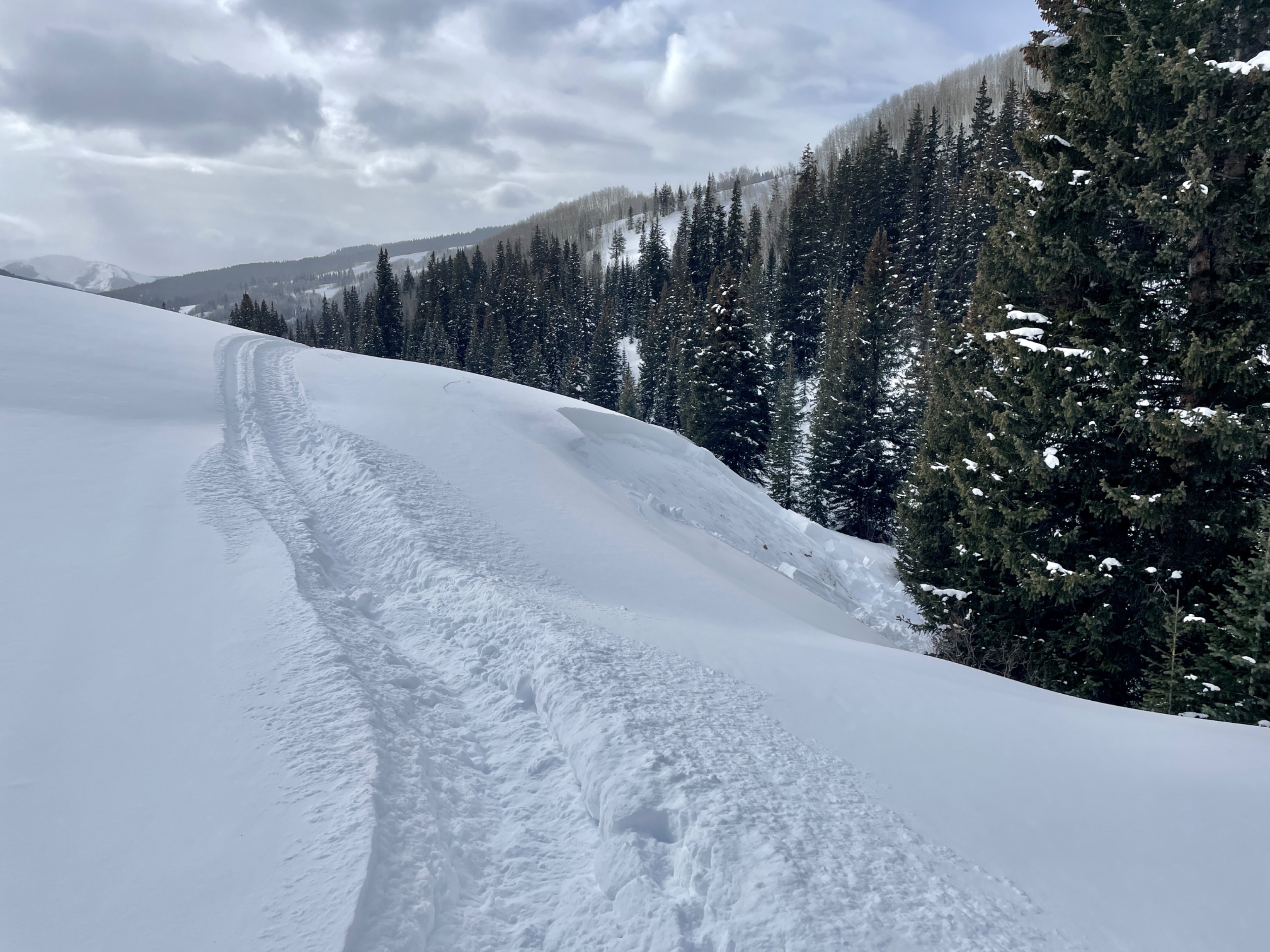
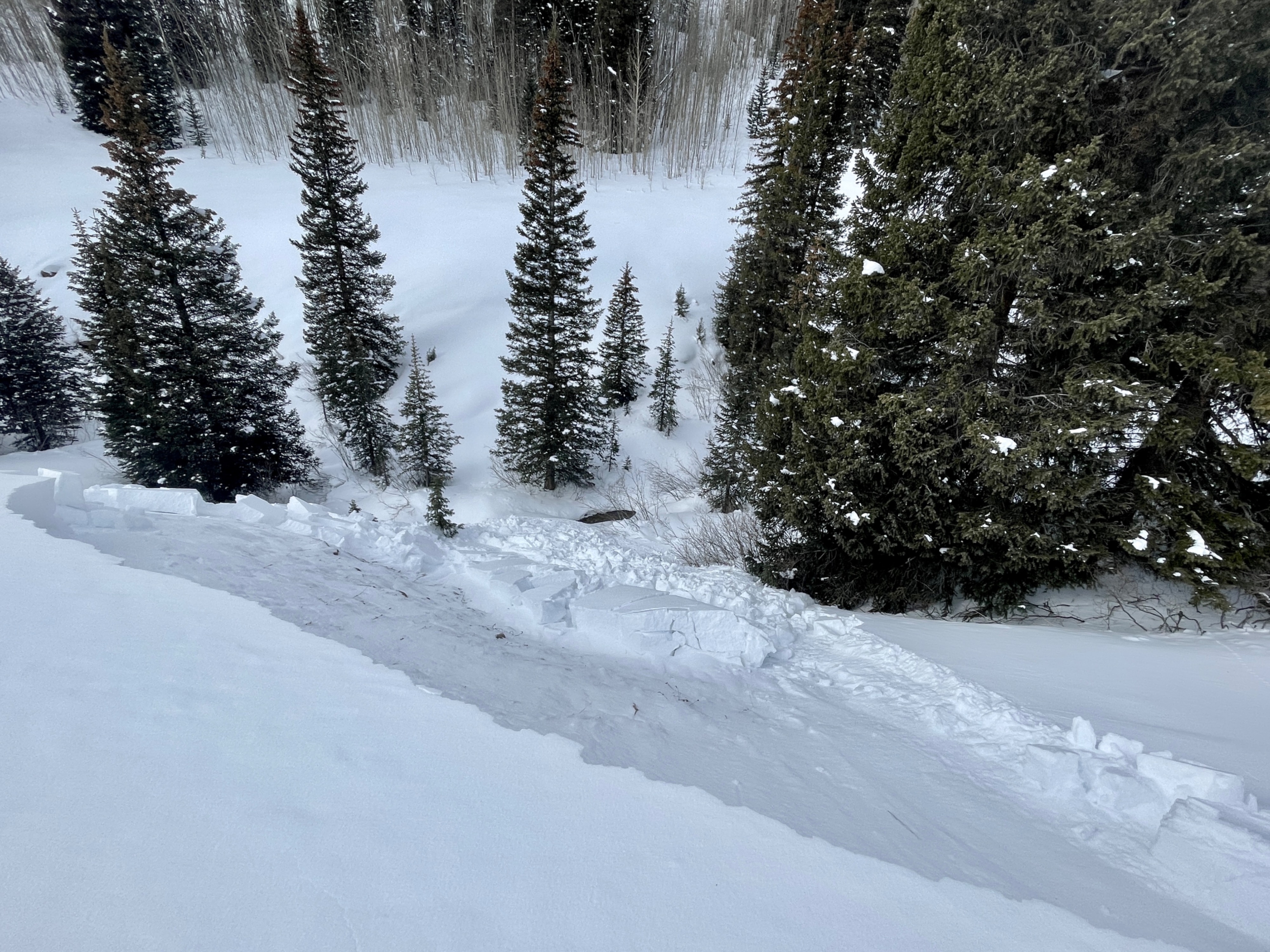
Lower Cement Creek remains quite shallow, but as you move into Middle and Upper Cement Creek the snowpack becomes dangerous. We remotely triggered one avalanche on a steep slope in the valley bottom and got nearly constant collapsing next to any open slopes. We chose to not go any further up valley because of the chance of remote triggering steep east-facing avalanche paths on Hunter Hill that threaten the Cement Creek Road.
Snowpack
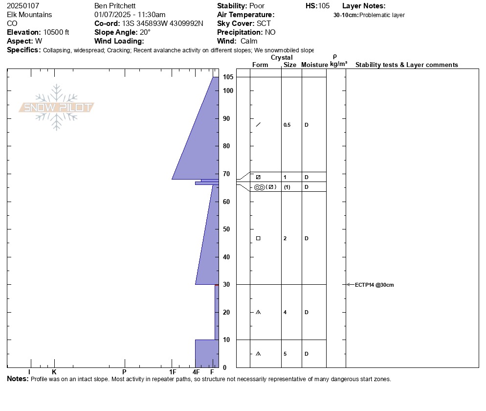
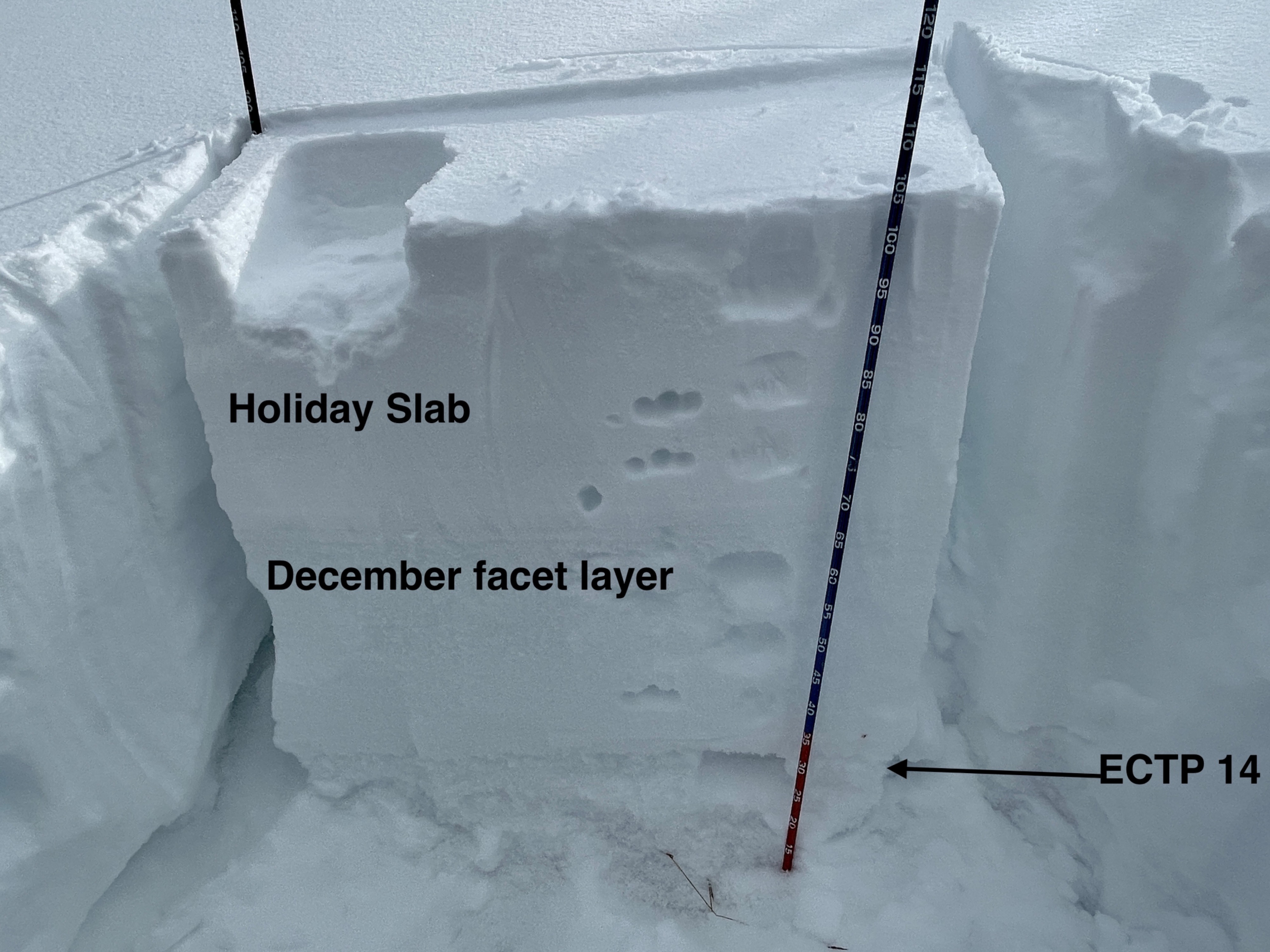
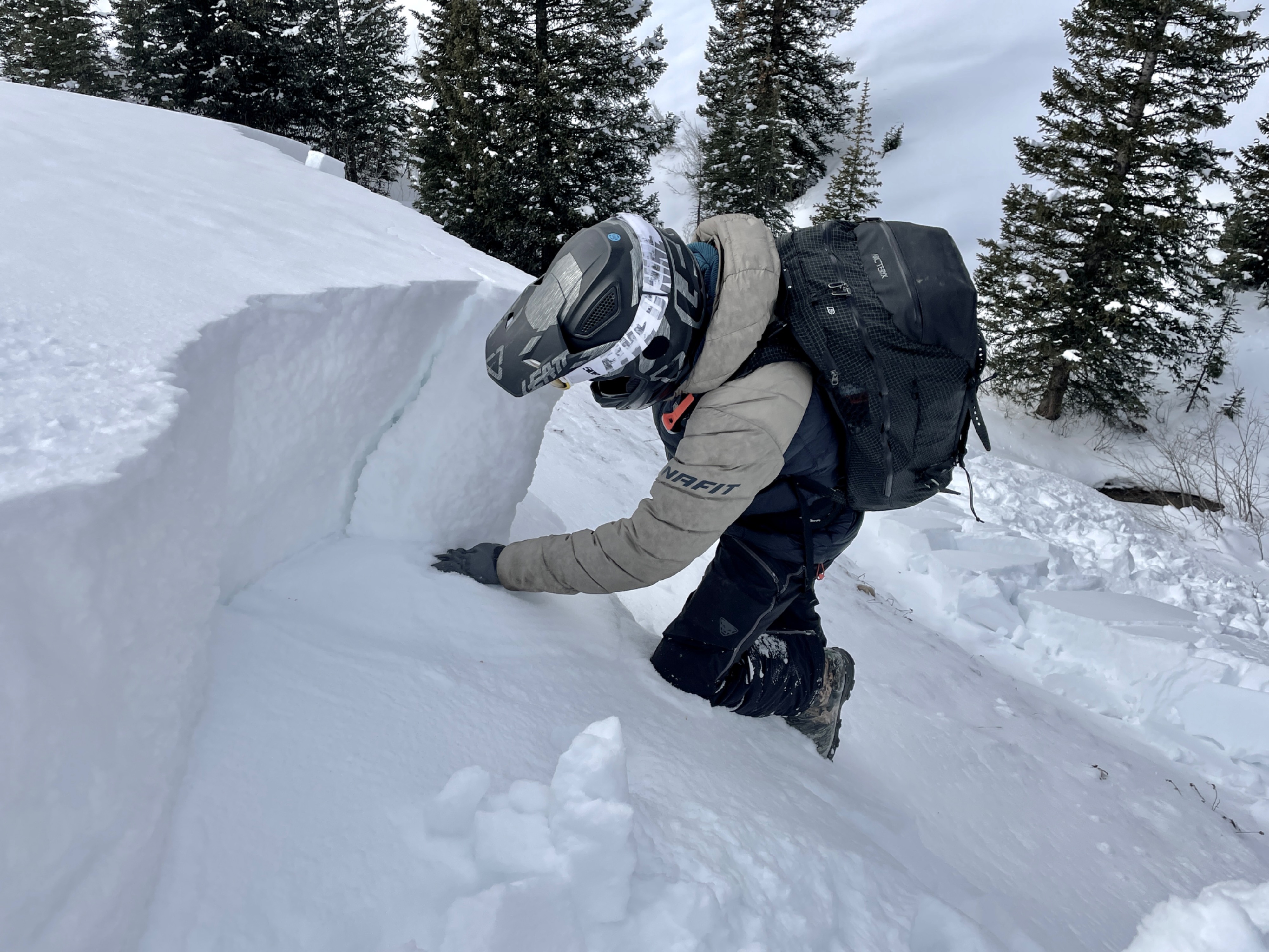
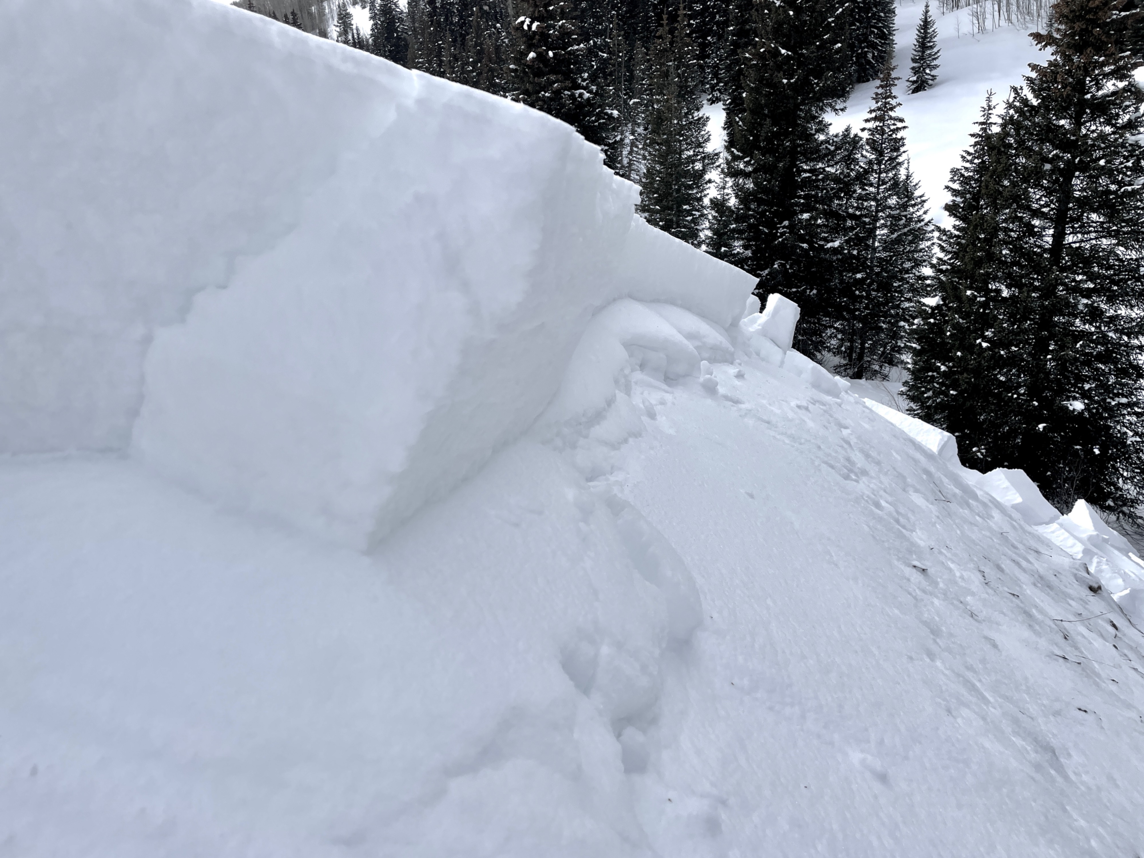
We found a touchy slab over weak layer combination in all the terrain we covered, above around 9,800 feet. We measured 2.6 inches of snow water equivalent in the Holiday Slab, which is similar to snotel amounts in other parts of the Central Mountains with a dangerous Persistent Slab problem. The slab was around 1 to 2 feet thick, and the December drought layer remains fist hard below that slab.
Avalanche
- Size
- D1.5 R2
- Type
- SS
- Count
- 4
- Aspect
- E
- Trigger
- N
- Elevation
- 12000 ft
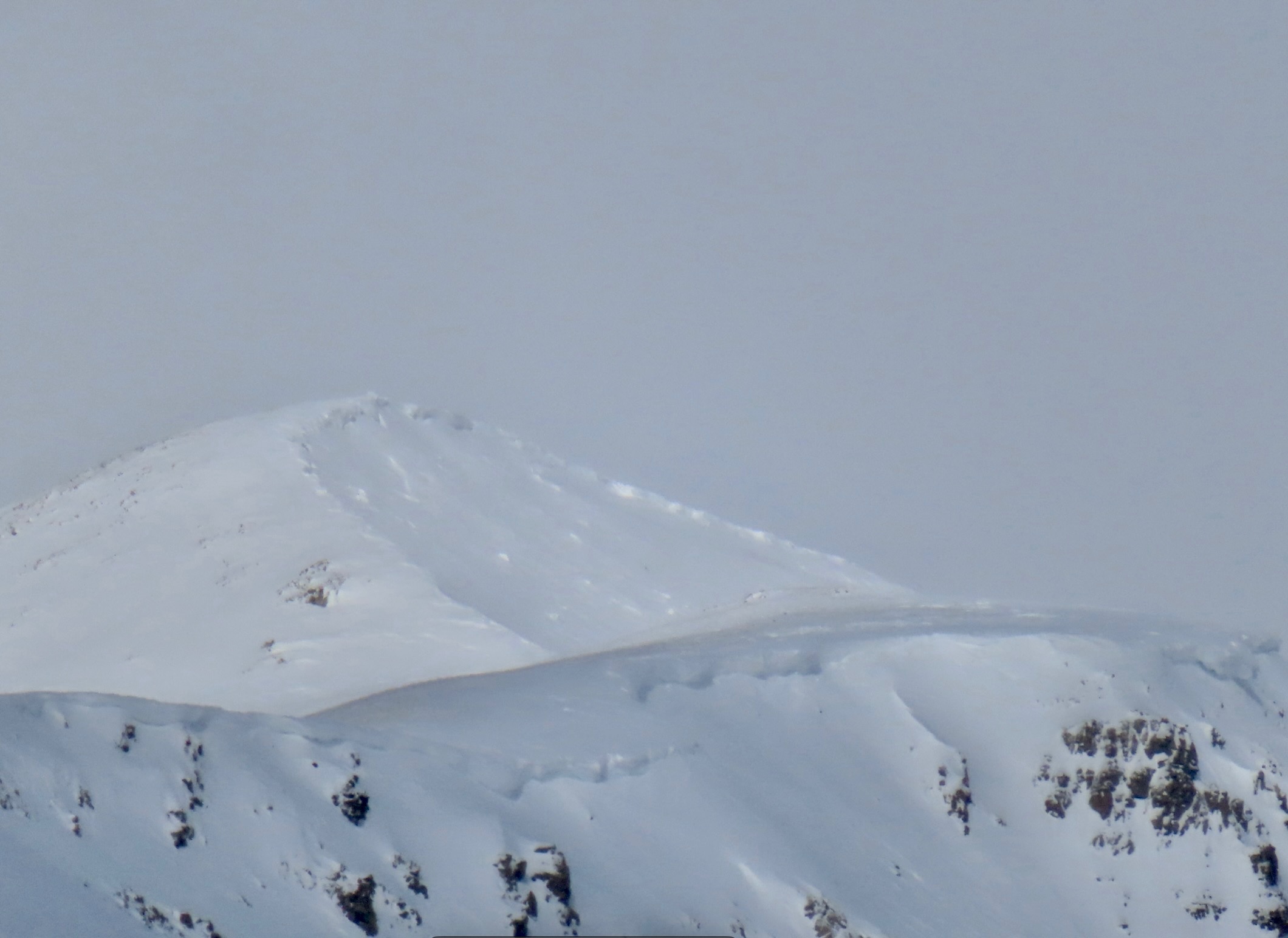
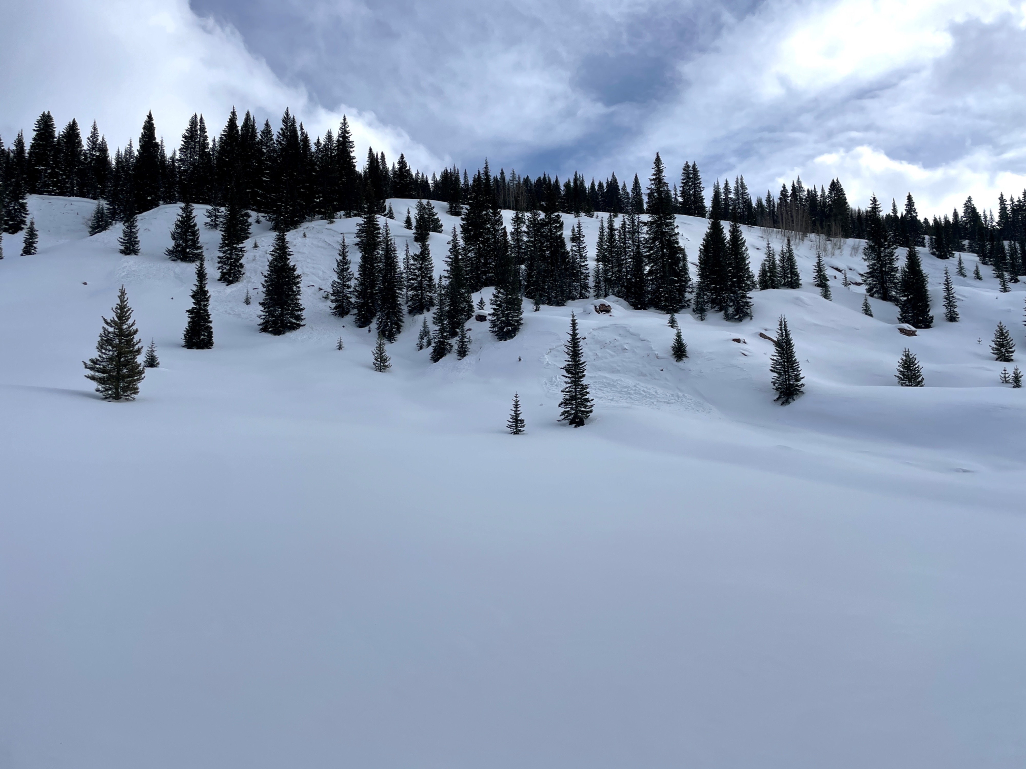
We saw numerous recent natural avalanches that were "repeaters," sliding in paths that released previously in the Thanksgiving avalanche cycle. We saw the crown of one large avalanche over a ridge on an east-facing slope off Hunter Hill that we think did not avalanche previously, and so the crown was much deeper than other avalanches in the area.