

Quick report
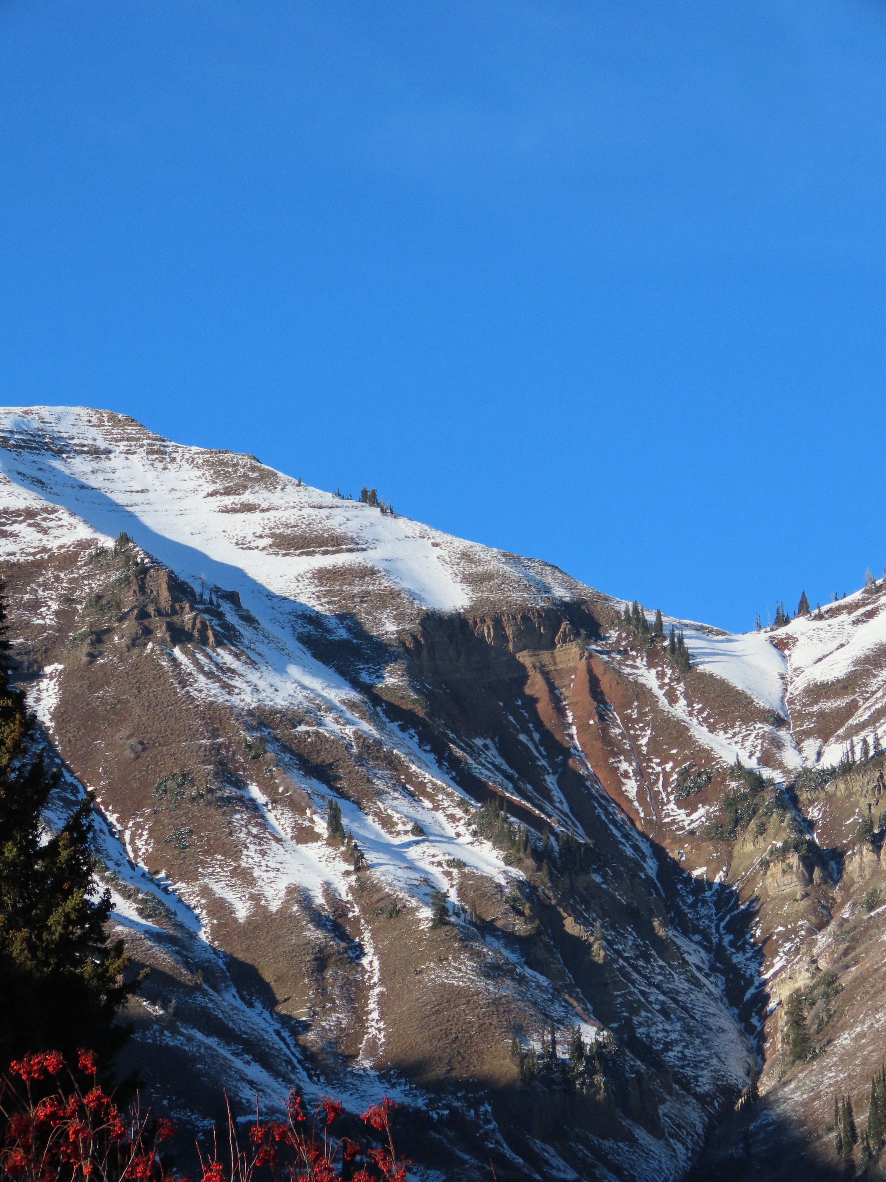
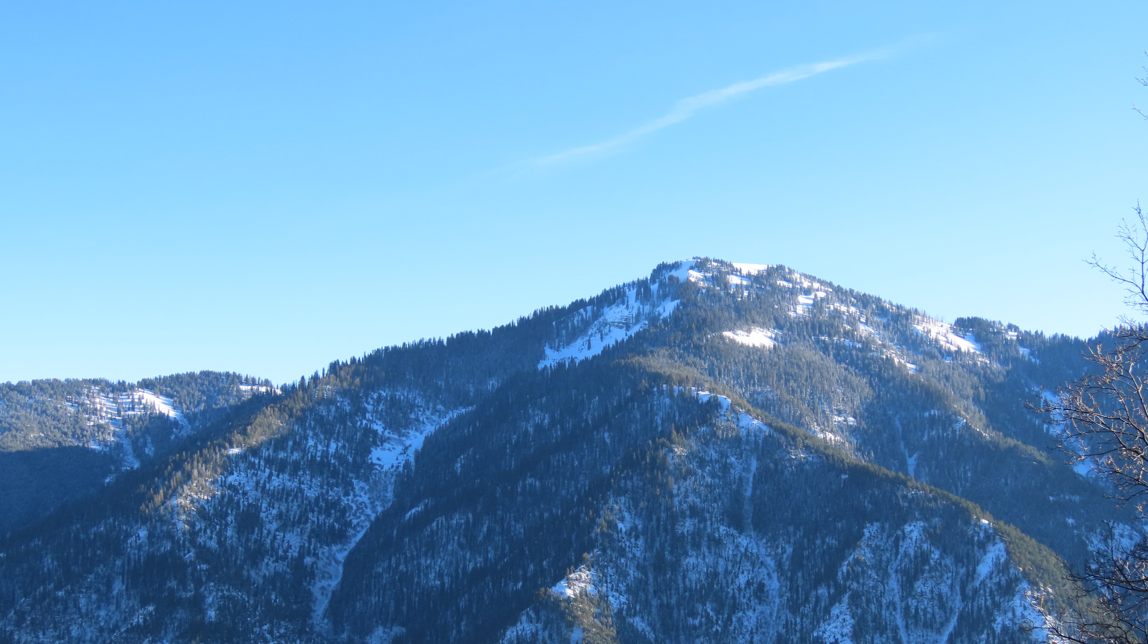
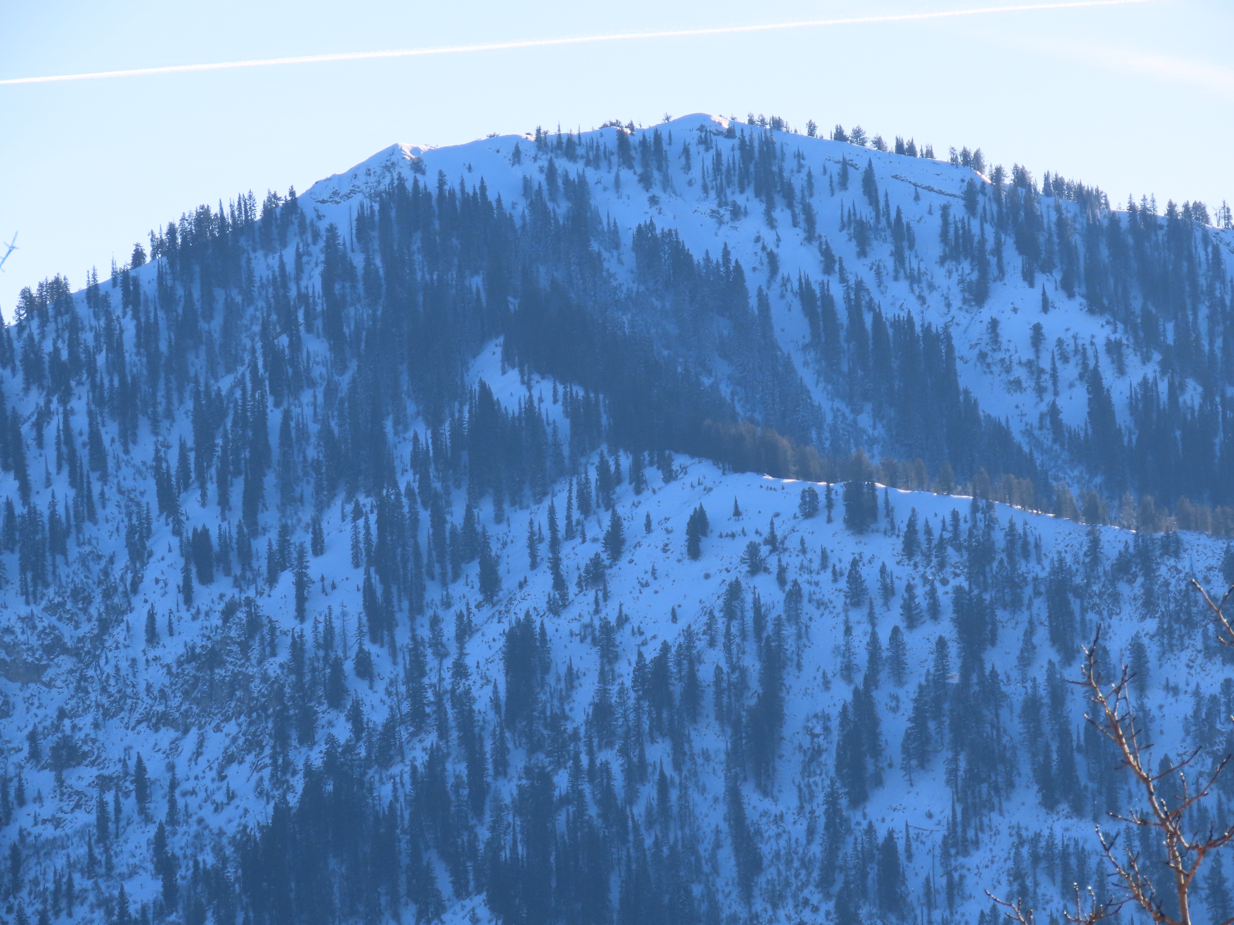
The Good: Much lower and middle elevation snow has melted off on aspects other than due N. Though north aspects hold snow below 9,000 feet, it is fairly patchy, disconnected, and shallow. Expect to hit continuous snow around 8,600' or higher.
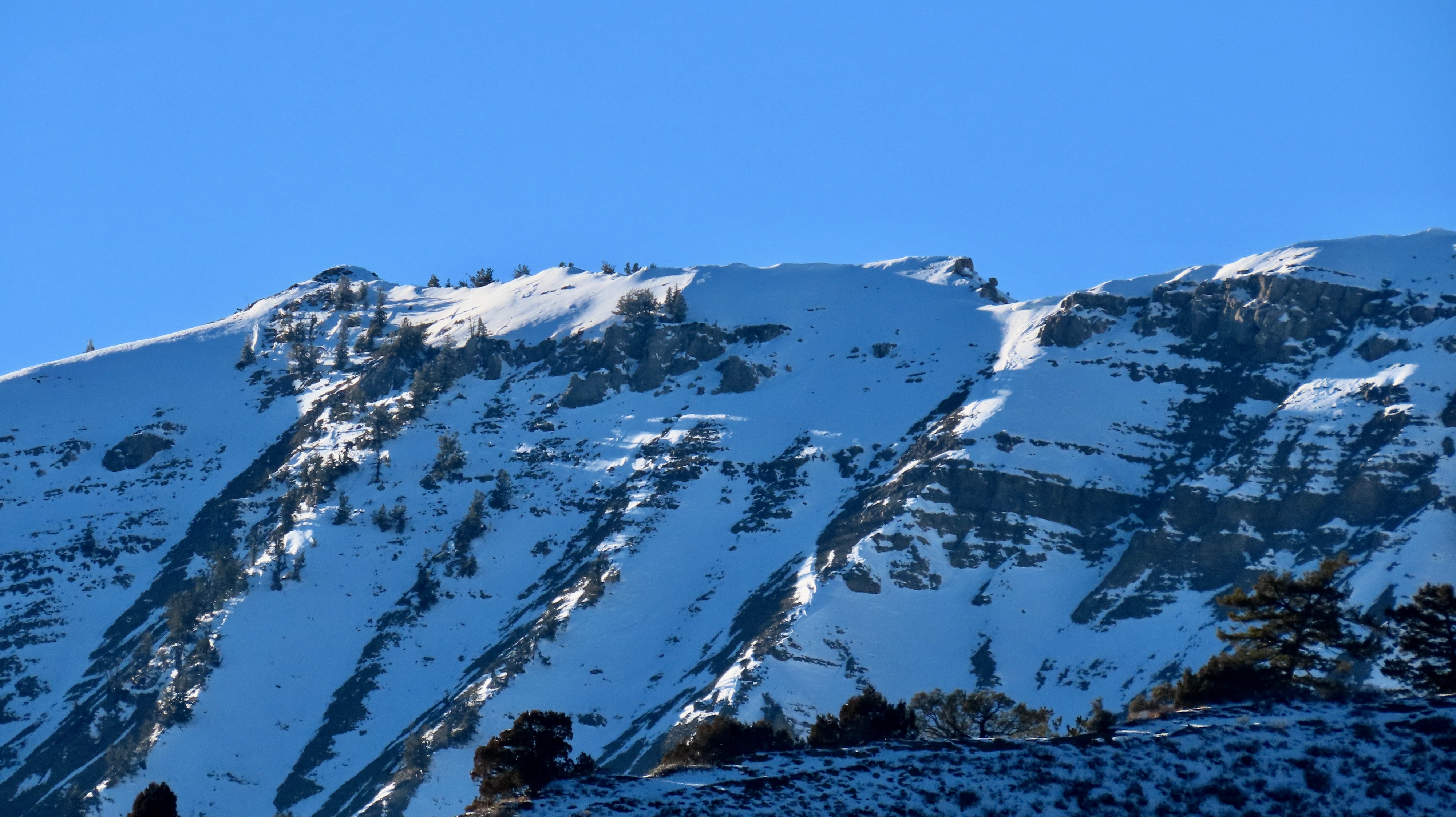
The Bad: Where continuous snow does exist, it is dry and extensively faceted. Add a sprinkle of surface hoar that is currently growing on top of all the facets, and you have a less-than-ideal recipe.
The Ugly: When the next significant storm hits, expect it to form the base of the snowpack in much of the lower and middle elevations across this stretch of canyon and adjoining areas (Salt, Palisade, Teton Pass, Hoback). Unfortunately, start zones and confined avalanche paths will have an entirely different snowpack setup that will be difficult to assess from safer spots. I suspect this might be the season of more challenging-to-navigate terrain decisions and assessments across all zones. Many start zones have well-connected areas of weak snow just waiting for a slab, while the ridgelines and lower meadows one might travel on to reach them might be totally dry up until the next big storm. For now, my eyes are on the north half of the compass (W-N-E) for harboring more problems moving forward.
Weather
- Cloud Cover
- clear
- Wind Loading
- previous
- Snow Avail For Transport
- none