
Quick report
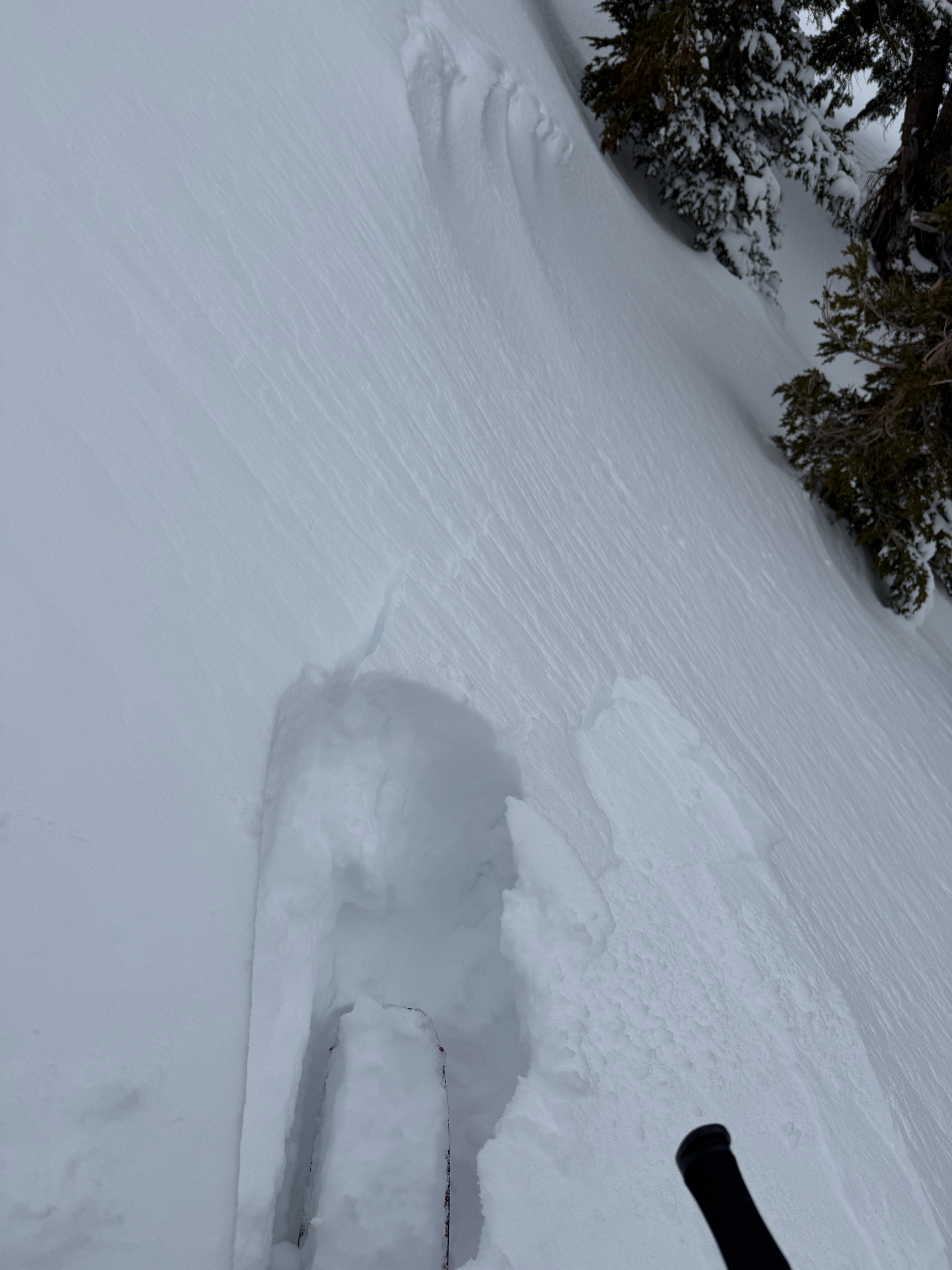
- Cracking
- isolated
I went for a walk in the sherwins today to take stock after our most recent storm system.
- Overall, it was a relatively uneventful day, with my observations supporting a stabilizing trend.
- Coverage took a hit during last week's warm-up, and this last storm didn't lead to much gain at lower elevations.
- I measured up to 50 cm of new snow in favored areas above 9000'
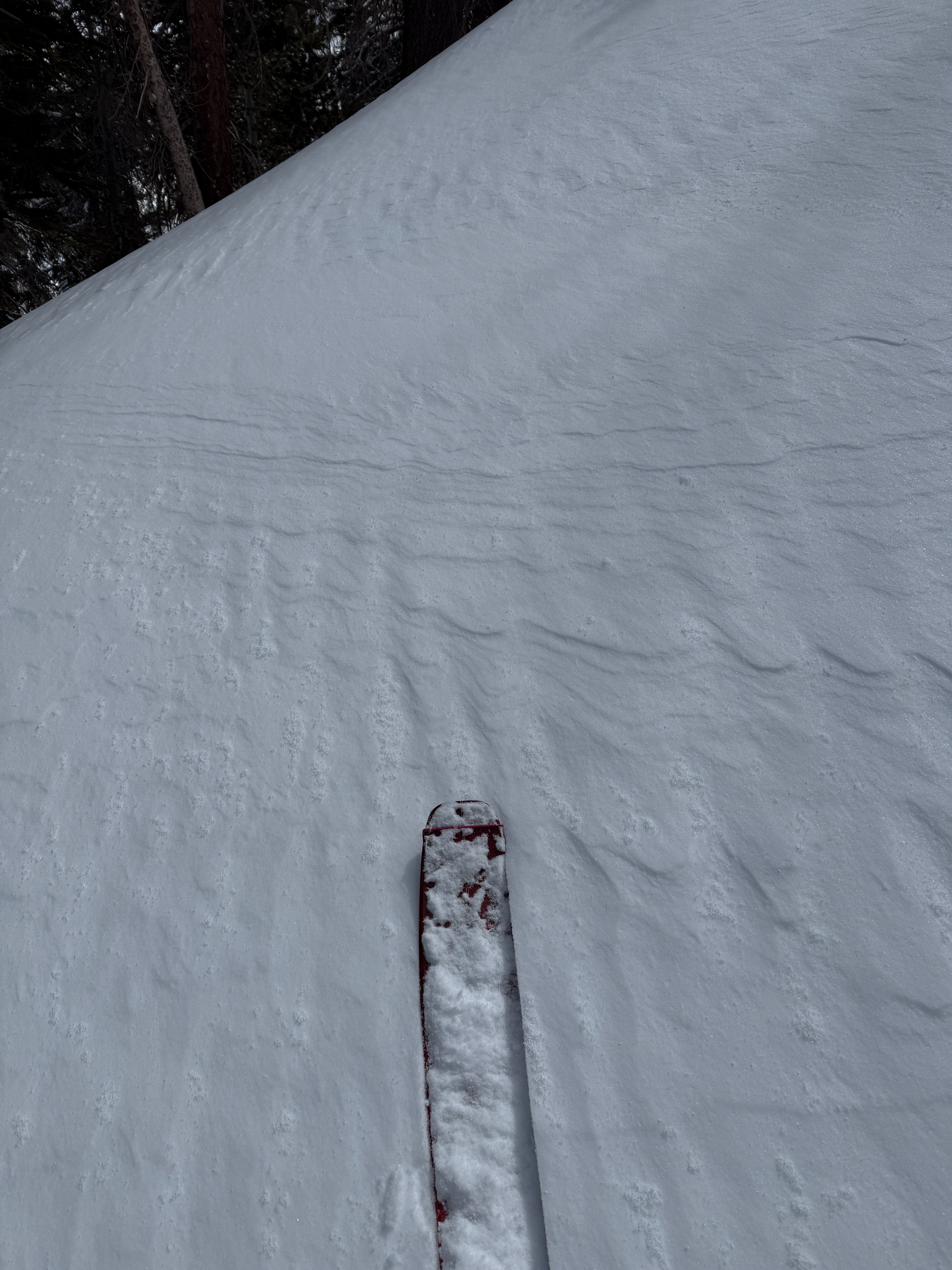
- Increasing winds out of the north led to some blowing snow along the ridge in the afternoon, stripping traditional start zones.
- Increasing cloud cover limited solar impacts today. However, warming occurred quickly during brief windows of direct sun. Some small fans of roller balls were observed on more solar aspects this afternoon. I also noted thin melt-freeze crusts had formed below 8500' by the time I exited the area.
Weather
- Air Temp
- 29
- Cloud Cover
- broken
- Wind Loading
- previous
- Recent Snowfall
- 10-50
- Snow Avail For Transport
- moderate amounts
Mostly sunny skies were short-lived this morning before cloud cover began to build. Winds were light to moderate today out of the north and seemed to increase in the afternoon. Intermittent snow showers began around 11 am but led to no notable accumulation in my location.
Avalanche
- Size
- D1
- Aspect
- NE
- Trigger
- AS
- Elevation
- 9500 ft
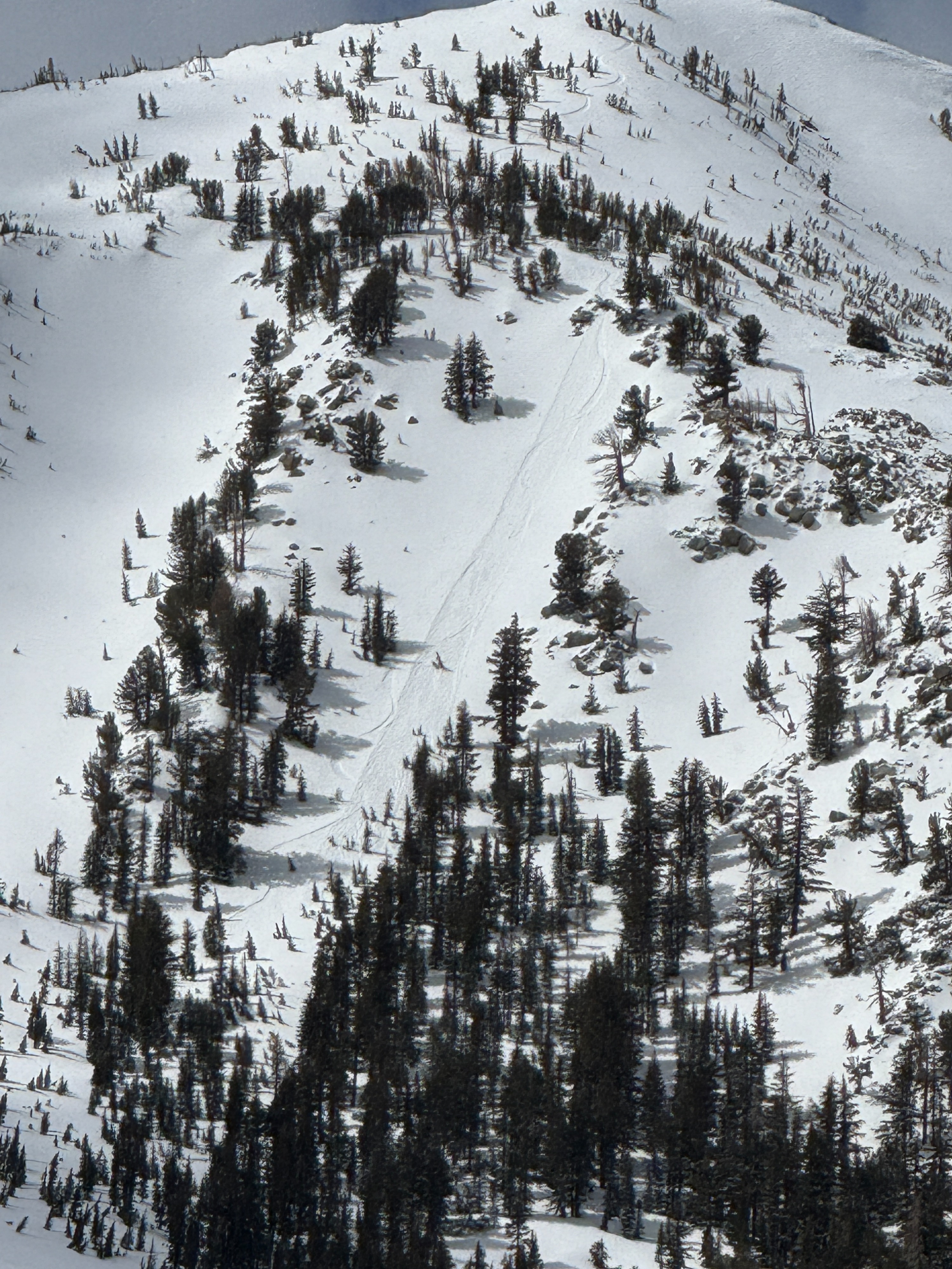
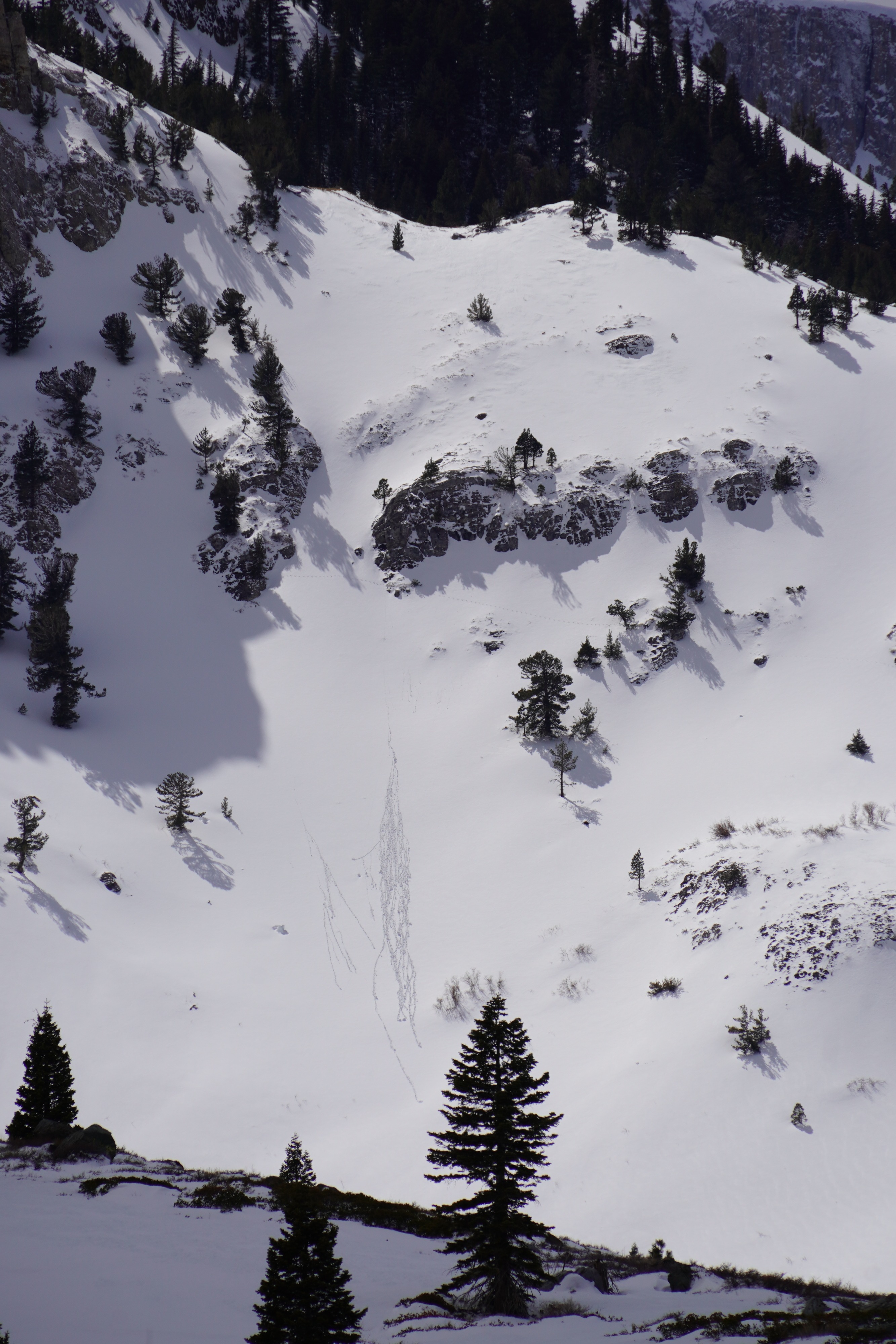
small dry loose avalanche- appears to be human triggered and likely occurred late on 4/1 or early today (4/2)