
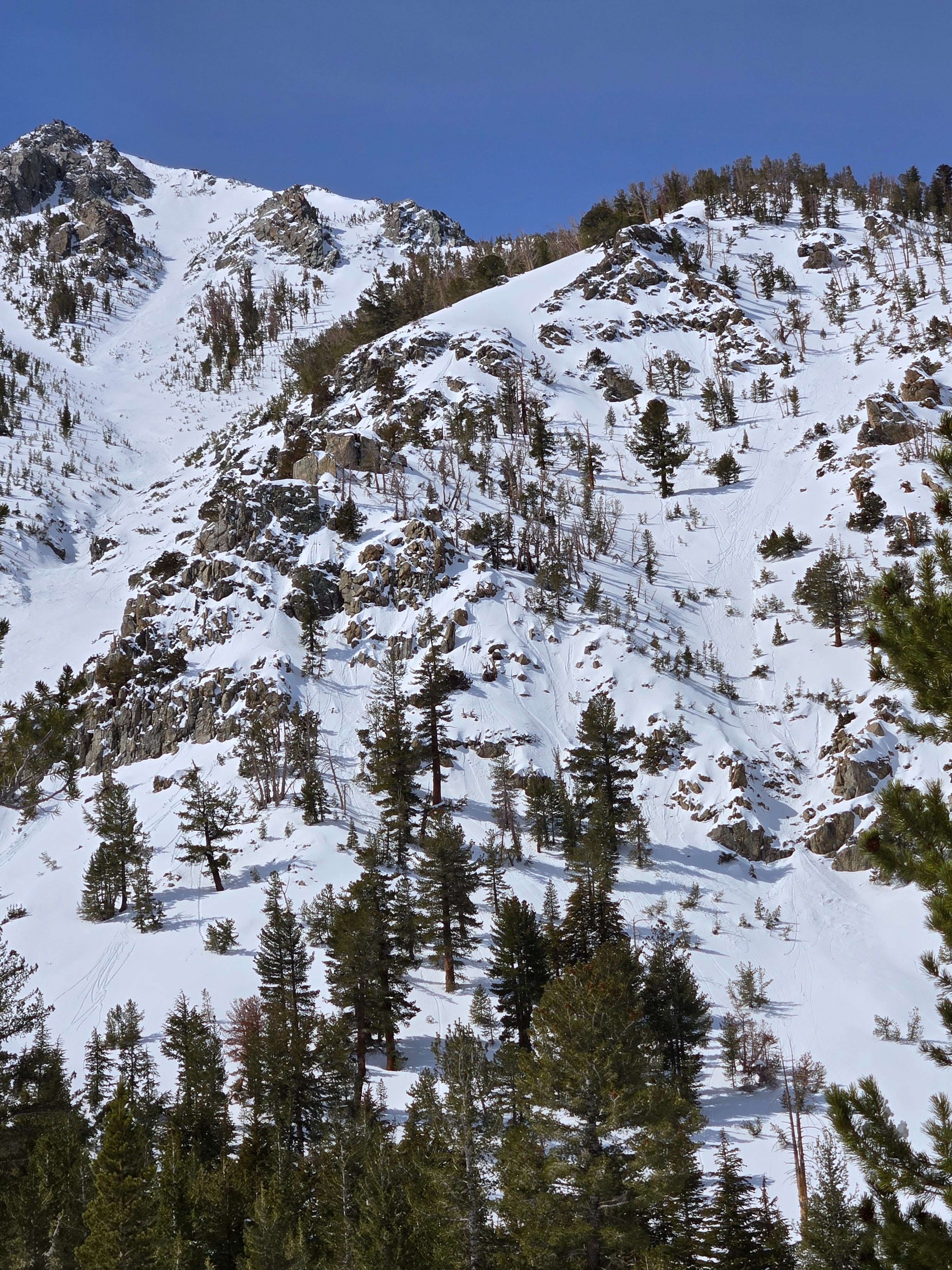
Quick report
We went to look at today's avalanche problems and the changing weather in the northern parts of the forecast area.
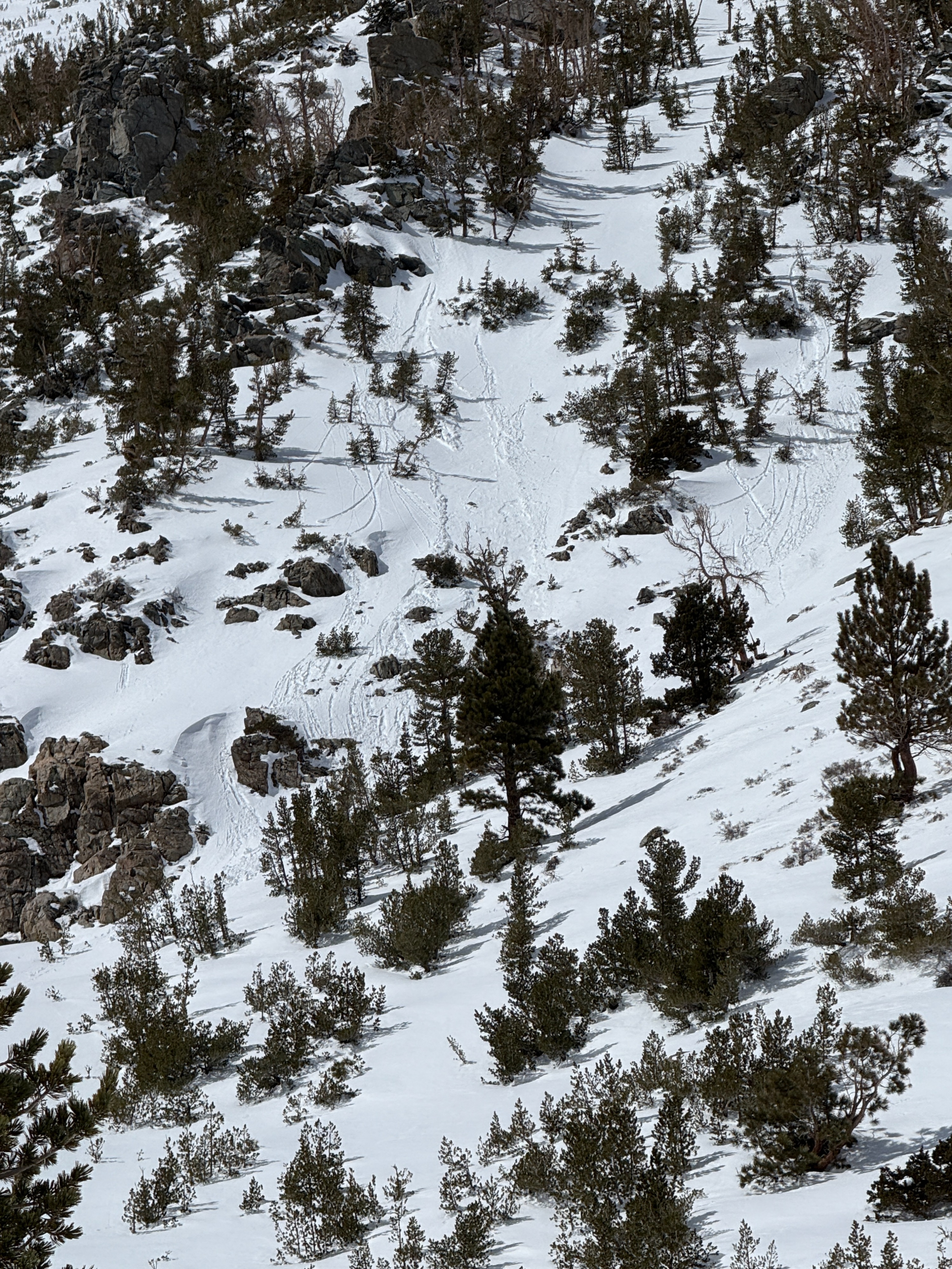
- We saw many rollers and small, wet loose avalanches near rocky and vegetated areas on easterly aspects near and below treeline.
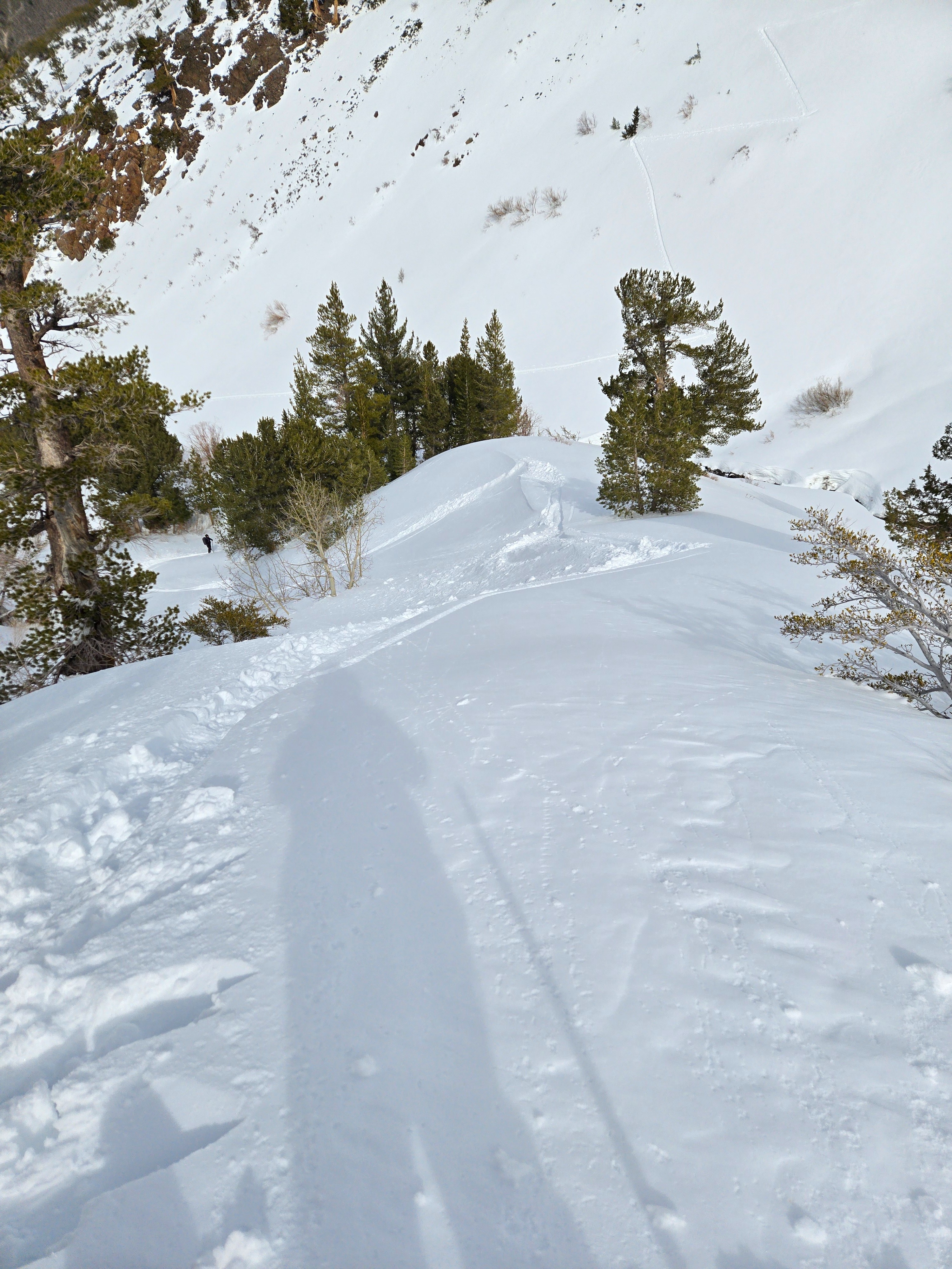
- Testing wind slabs in exposed areas was not fruitful. Recent drifts became very difficult to trigger throughout the day.
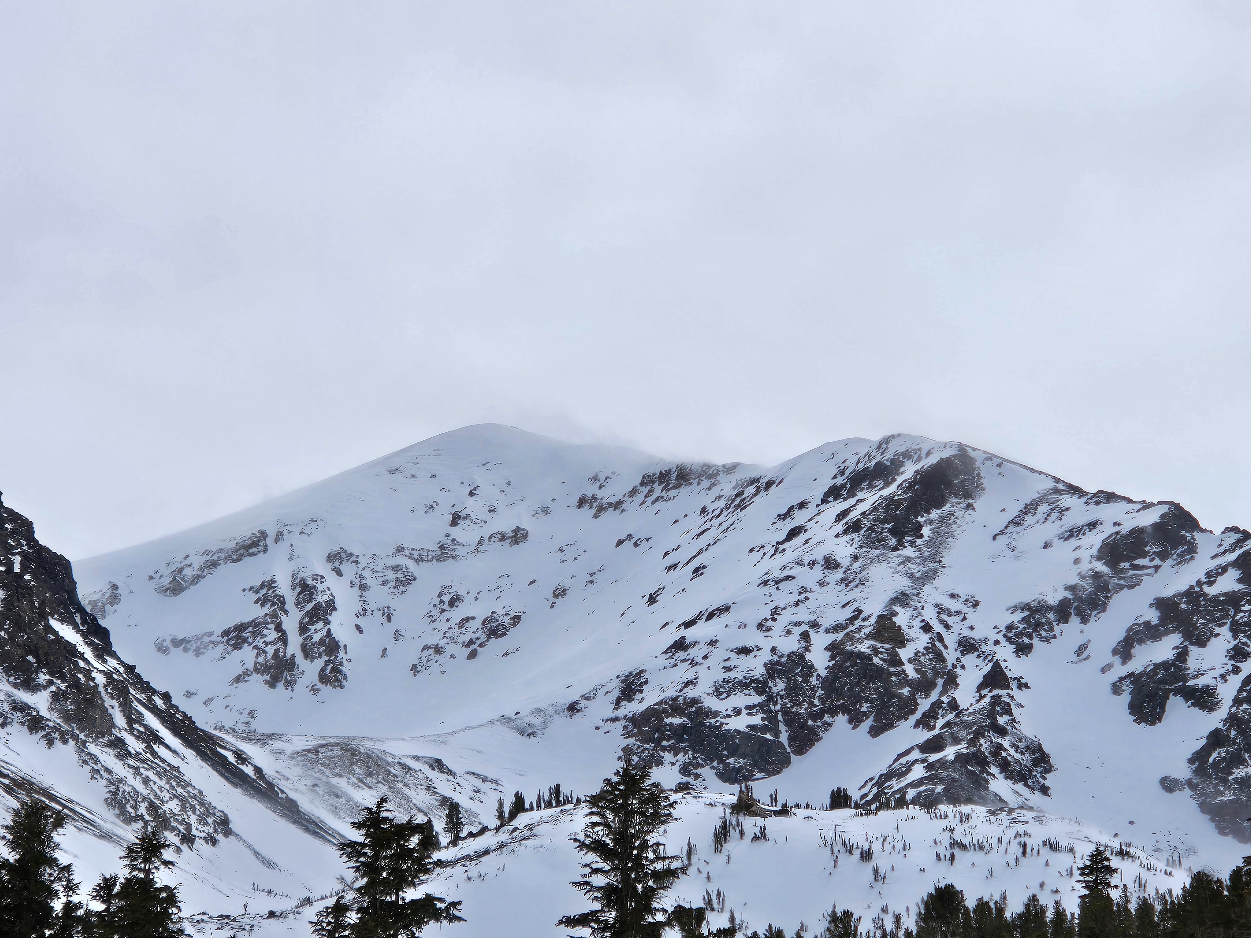
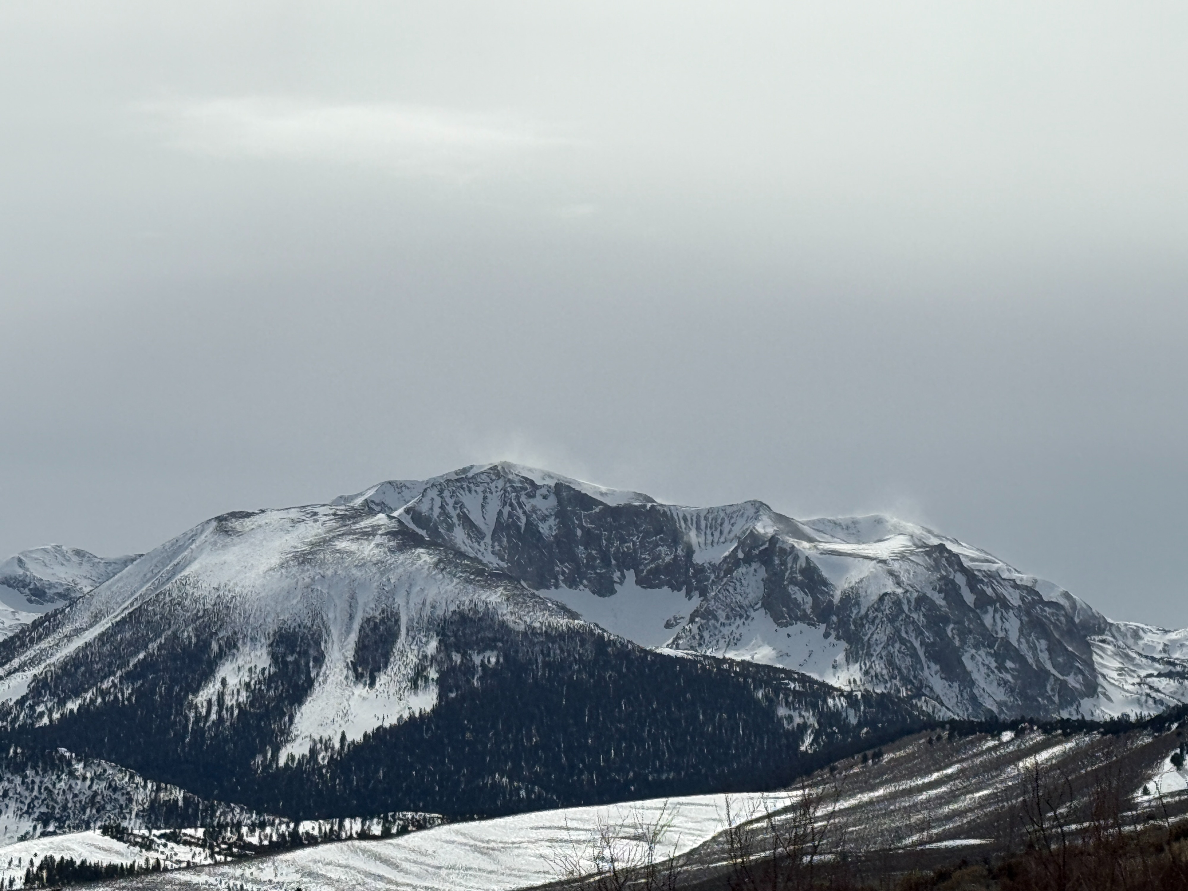
- We did not get into the alpine, though we saw an uptick in wind throughout the day, intensifying areas of blowing snow late in the afternoon. I would be willing to bet some fresh wind slabs formed up high.
Weather
- Air Temp
- 40's
- Cloud Cover
- scattered
- Wind Loading
- intense
- Recent Snowfall
- 15-30
It was a warm, mostly sunny morning. Clouds and southwest winds increased mid-afternoon. Blowing snow intensified above treeline later in the day. On the drive back, there were still areas of blowing snow on the Sierra Crest, though they were less widespread south of Mammoth, where less snow fell during the most recent storm.
Snowpack
- 15-30 cm F hard recent snow settled but stayed soft and dry on northerly aspects down to the lowest elevations.
- Under the recent snow: a mostly supportable melt-freeze crust or wind board. Aveage Ski pen: 20 cm.
- East aspects re-froze with a 1 cm crust by early afternoon. Dry snow underneath.
- West aspects did not have wet snow instabilities by mid-afternoon.
- Snow depth = 45 cm below 8000', 220 cm at 9500' with a crust buried early March down 95 cm, and old crust above the late January facets down 125 cm below the surface.