
Quick report
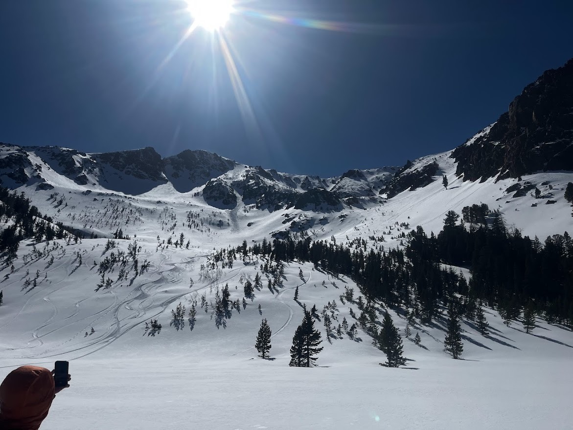
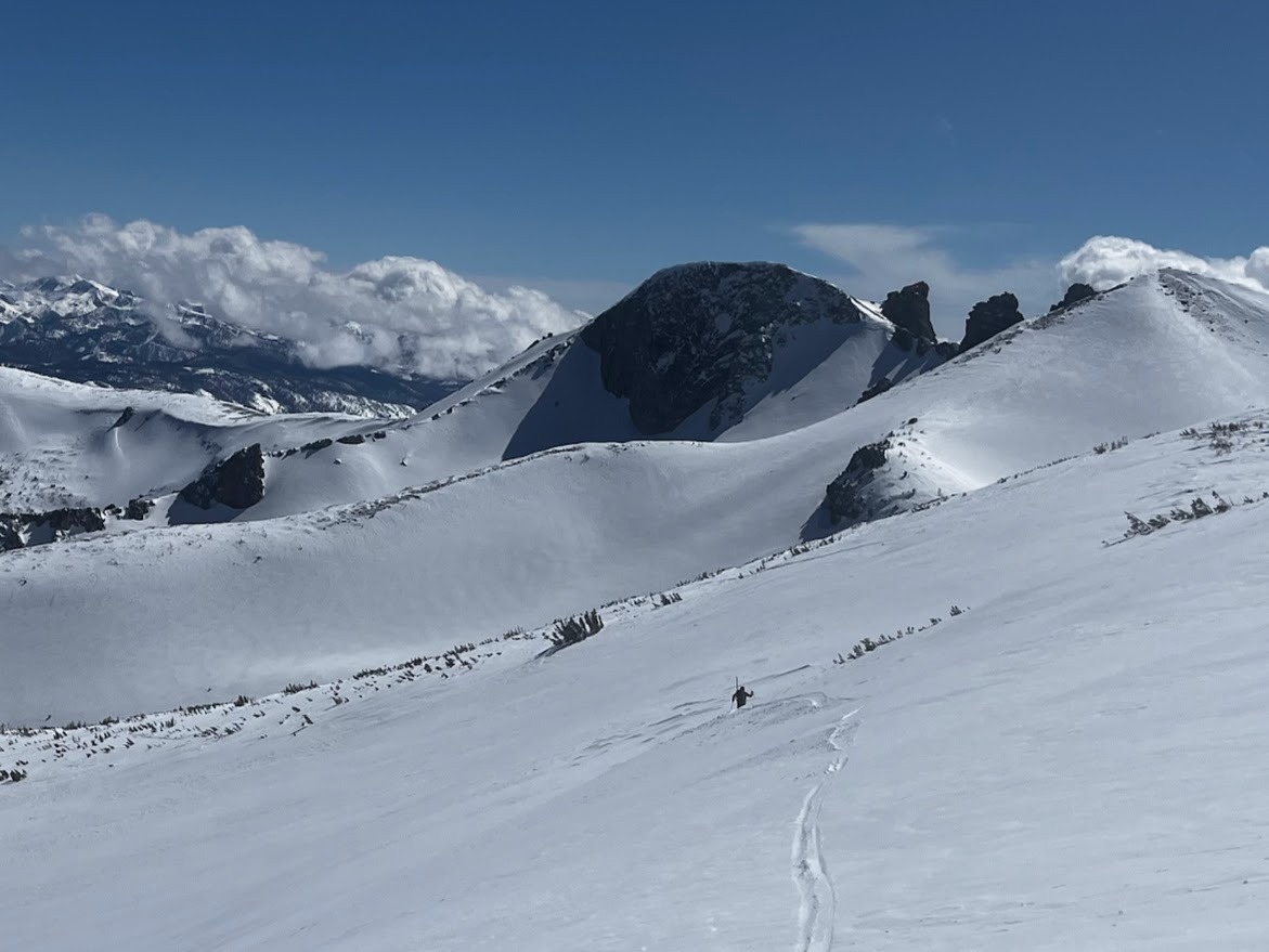
Our team went back to the June backcountry to take a closer look at a skier-triggered wind slab avalanche from yesterday afternoon. Details can be found in the attached avalanche observation.
Weather
- Air Temp
- 22
- Cloud Cover
- few
- Wind Loading
- moderate
- Recent Snowfall
- 20
- Snow Avail For Transport
- moderate amounts
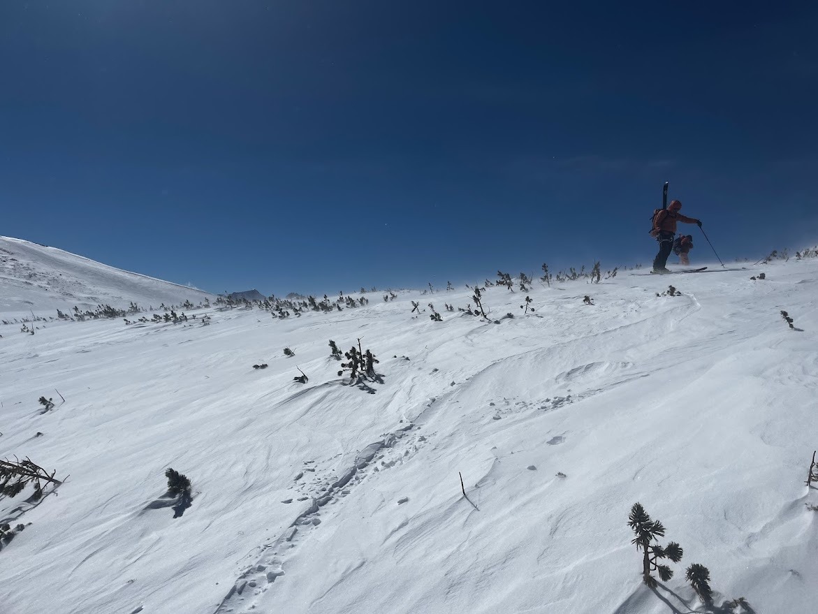
Sunny with unusually cold temperatures for late March, with a cooling breeze near and above treeline. Strong ridgetop winds in the afternoon.
Snowpack
Near treeline: Skis sank in 8 inches, boots sank 12 inches. The snow was 5 to 6 feet deep. The surface snow had settled since yesterday's observation but did not show slab character. Strong and supportable melt-freeze crust, or wind board from early March below that. In the morning, all aspects held cold, dry snow, but by afternoon, surface snow on the west aspects became wet. Yesterday, it was easy to feel the old snow surface while traveling; today, the recent snow layer supported my skis. No data below 9600'. Rollerballs were observed on SE slopes, but cool air temperatures and a light breeze prevented the onset of wet snow instability.
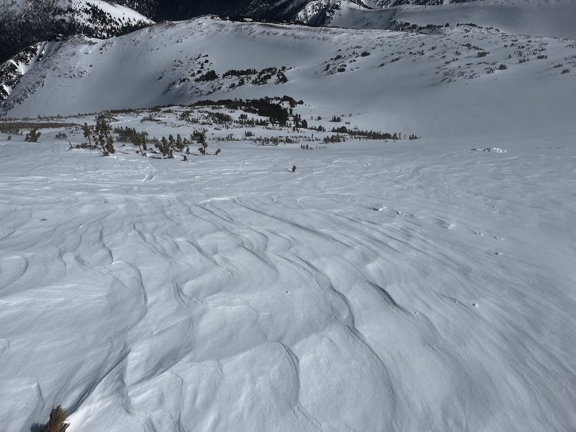
Above treeline: Snow depth varies by aspect and terrain feature, with the most coverage on north-facing slopes that are prone to wind loading. The most recent snow had been mostly scoured away on windward slopes by southerly and westerly winds. Recent accumulations of wind-deposited snow in leeward terrain were up to 3-4 feet deep. Wind effect was evident on the snow surface within the first 200 to 500 vertical feet of ridges. Once below ridgeline start zones, wind effect begins to decrease with the recent snow becoming less cohesive and more consistent in depth (~10 inches) as you lose elevation.
Avalanche
- Size
- D2 R2
- Type
- HS
- Aspect
- NE
- Trigger
- AS
- Elevation
- 11000 ft
At approximately 3:30 pm on the afternoon of 3/24, two people were caught and carried in a large avalanche while descending a NE-facing slope in the Negatives, outside of June Mtn. ESAC forecasters conducted a field investigation on 3/25. This avalanche failed on a thin layer of near-surface facets at the new/old interface. The crown of this avalanche was approximately 200 ft wide with an average depth of approximately 45 cm to a maximum depth of 150 cm. This avalanche ran approximately 1400 feet and traveled through a tight and rocky chute feature known locally as the "S- Chute".